Tillable Farmland with Creek
For Sale
$338,760
Carmony Rd., Salina, KS 67401
Land, Salina, KS
Property SizeContact for details
Lot Size56.46 Acres
Days on Market13
Property Features for Carmony Rd.
General Information
Property type
Land
Property subtype
Other
Standard status
Active
Lot size
56.46 Acres
Listing Agency:
Base Camp Country Real Estate
(888) 224-0517
Listed By:
Brandon Cutler · License #00243216
(316) 312-9825
Added: Aug 28
Changed: Sep 8
Last Checked: Sep 9 at 6:06AM
MLS# 11969343
Copyright © 2026 My State MLS. All rights reserved. All information provided by the listing agent/broker is deemed reliable but is not guaranteed and should be independently verified.
Investment Insights
Based on property information with market context.
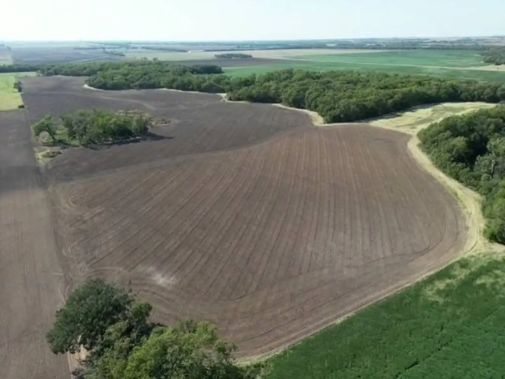
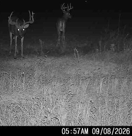
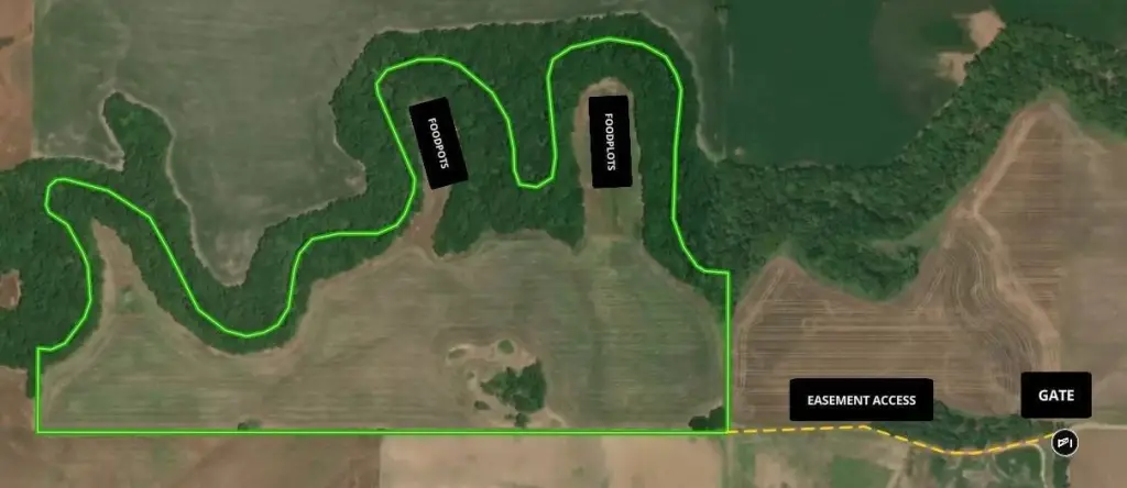
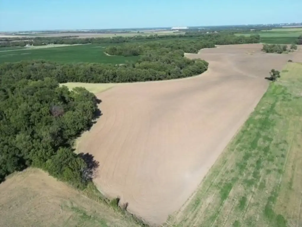
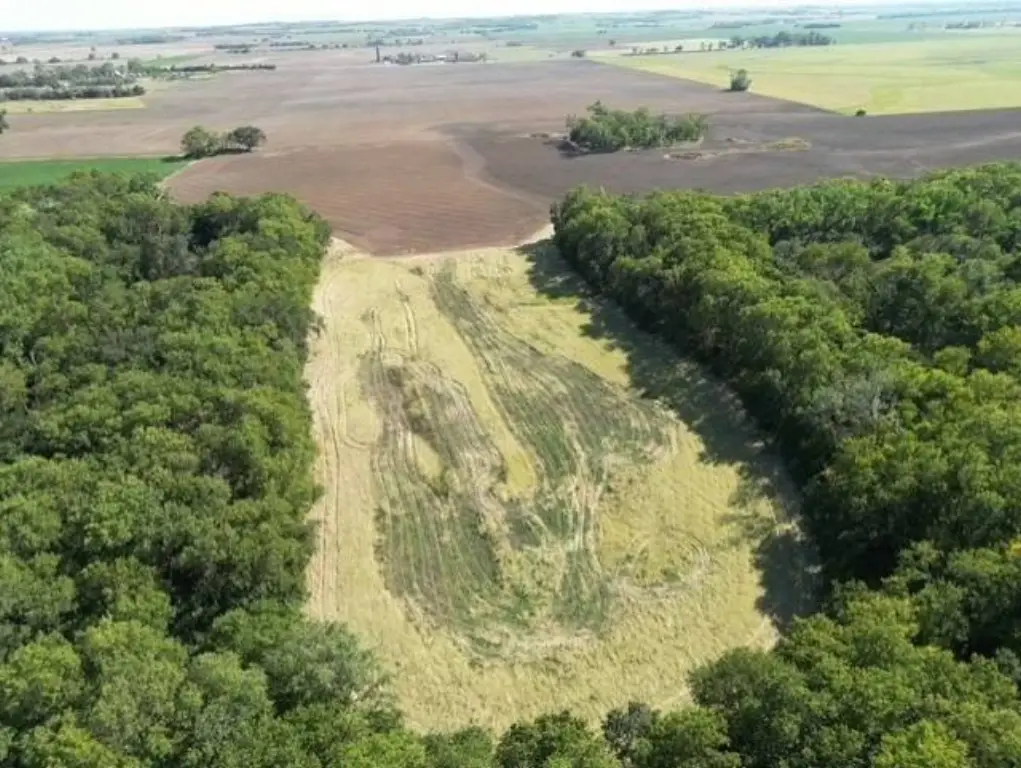
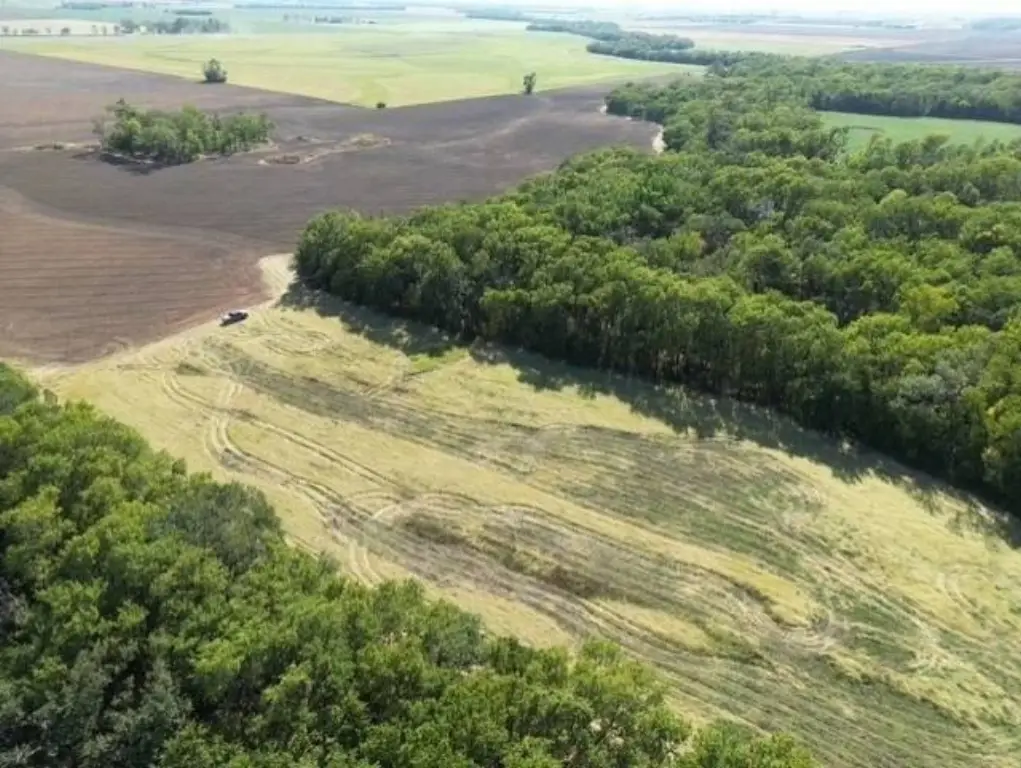
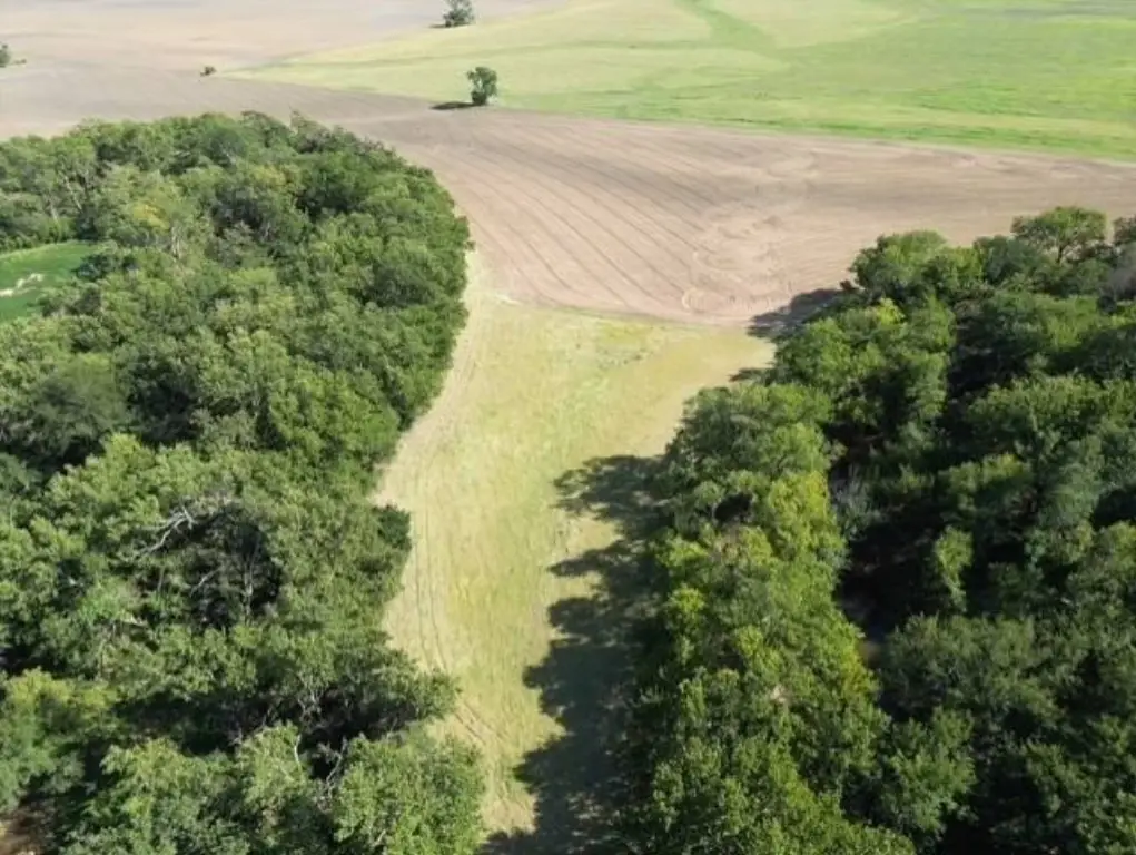
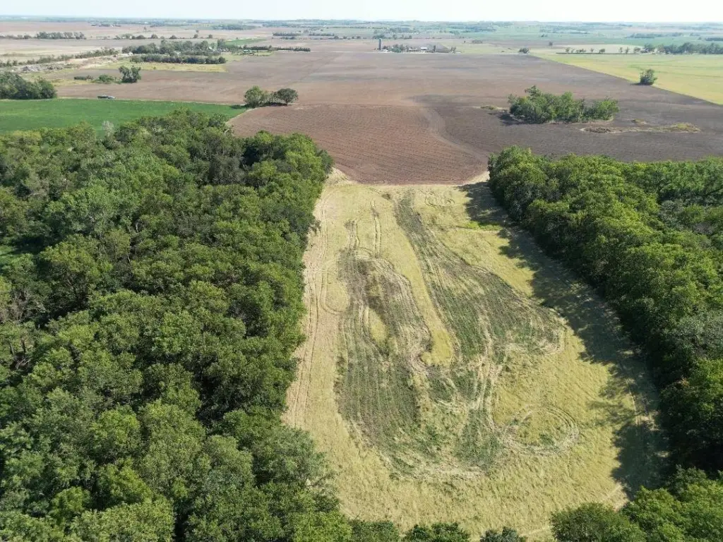
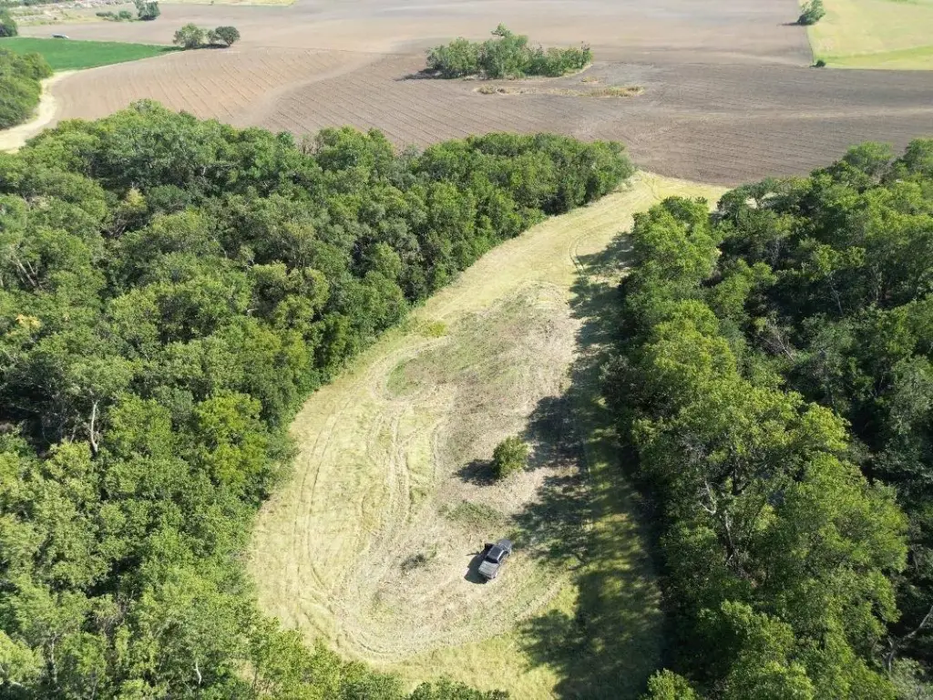
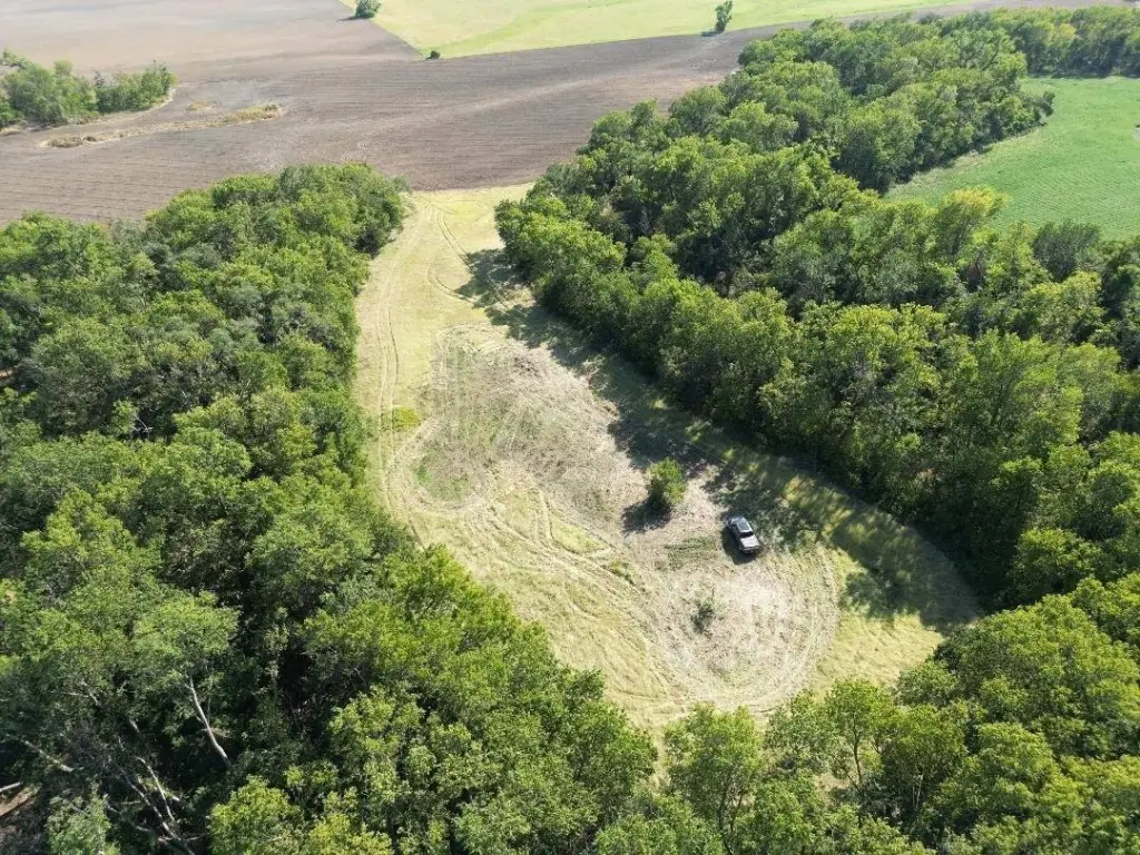
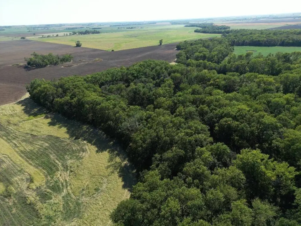
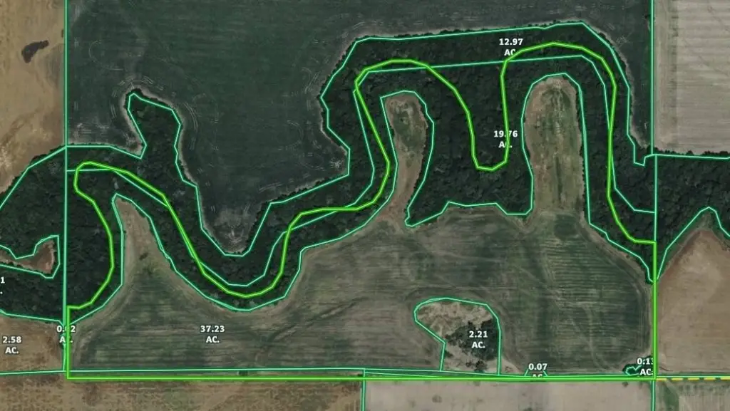
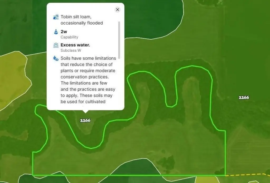
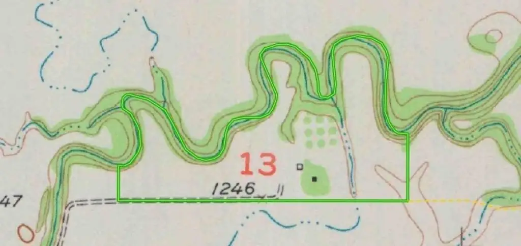
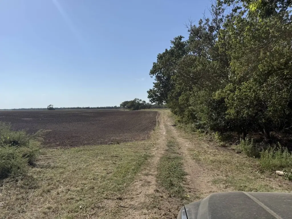
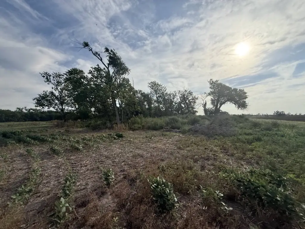
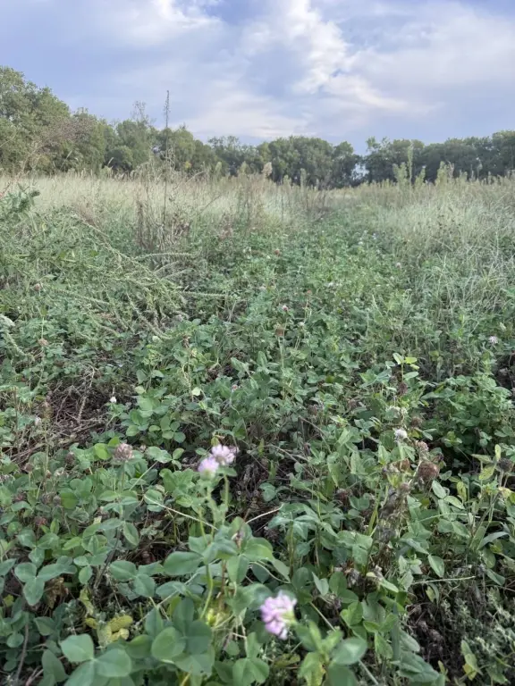
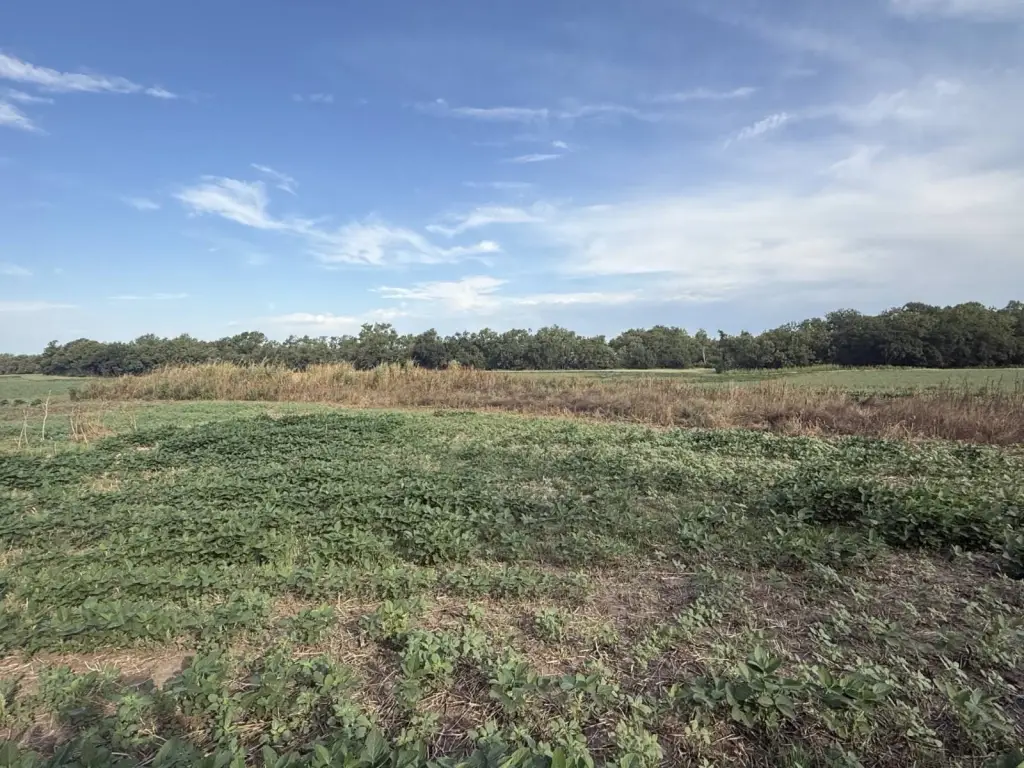
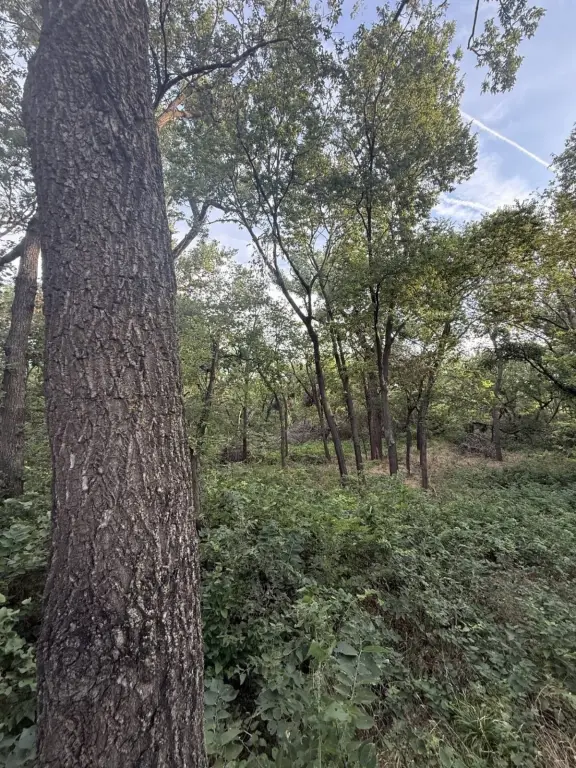
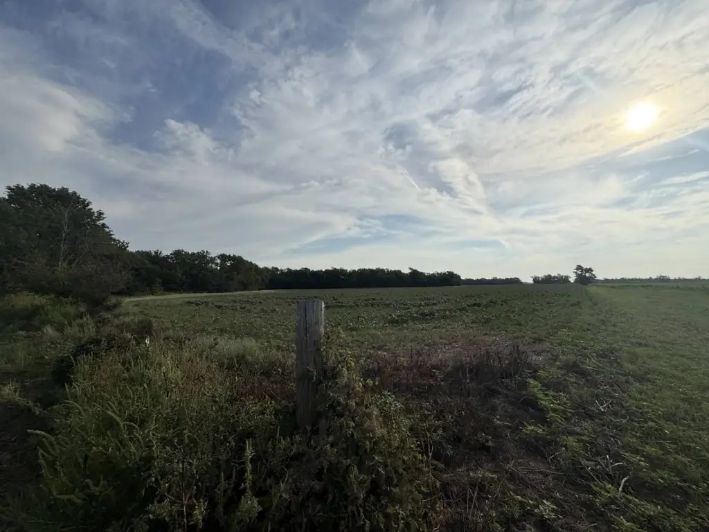
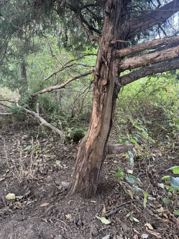
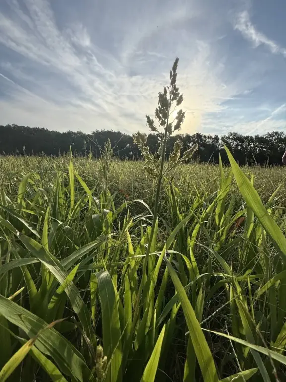
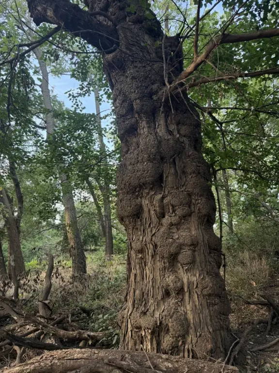
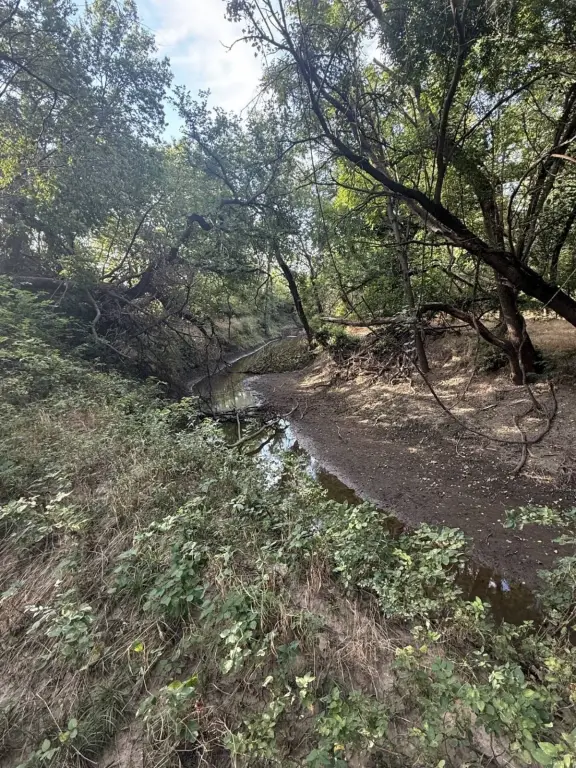
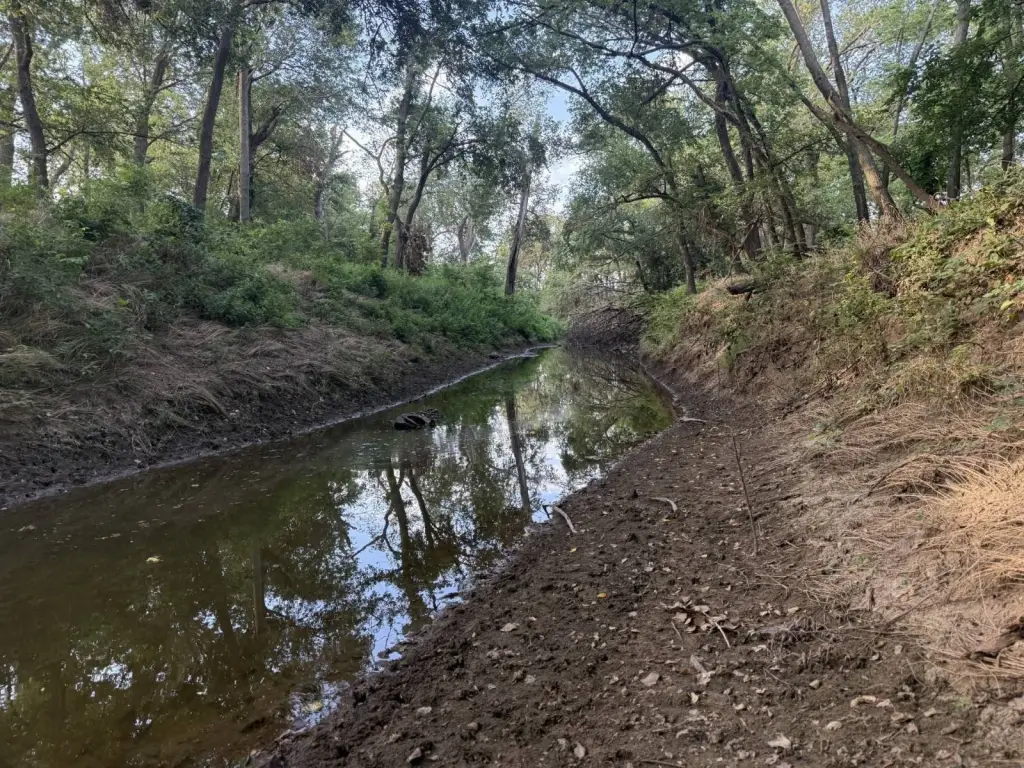
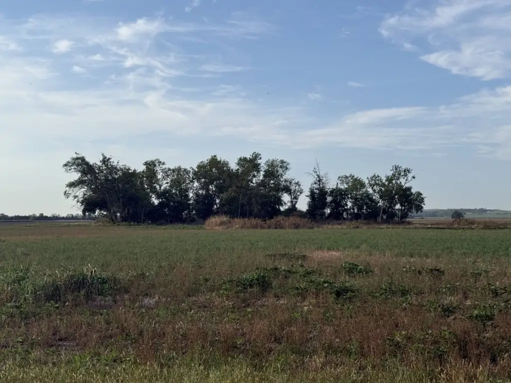
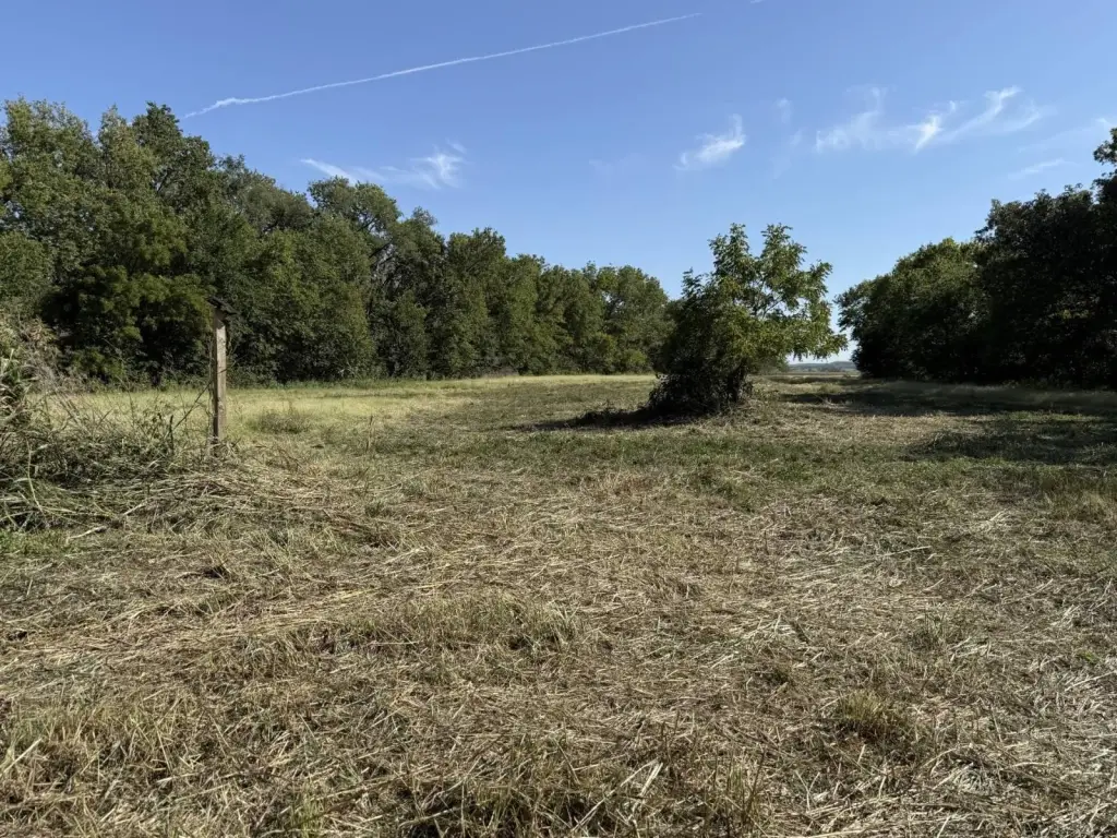
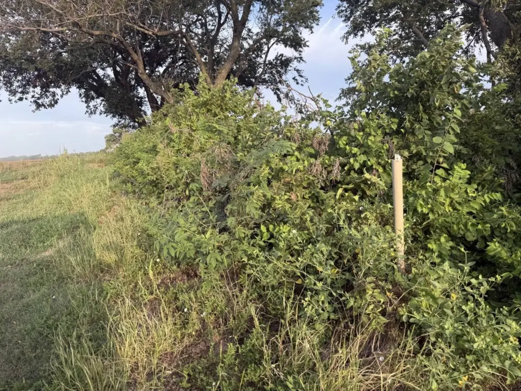
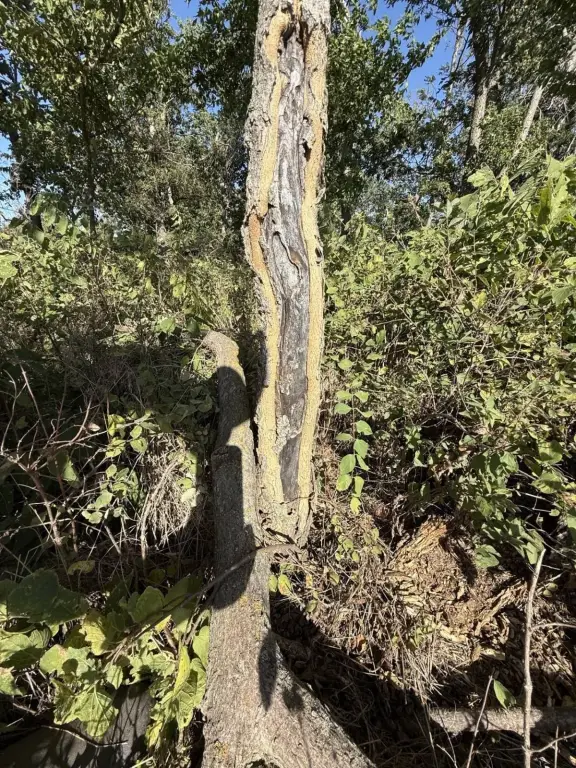
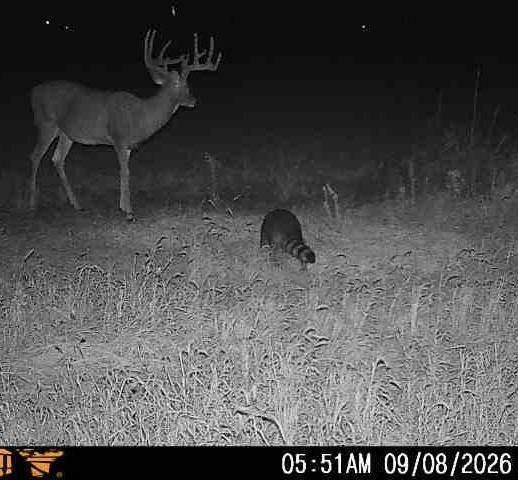
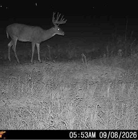
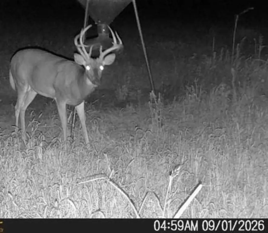
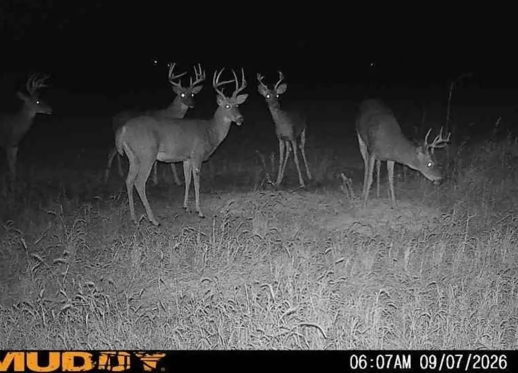
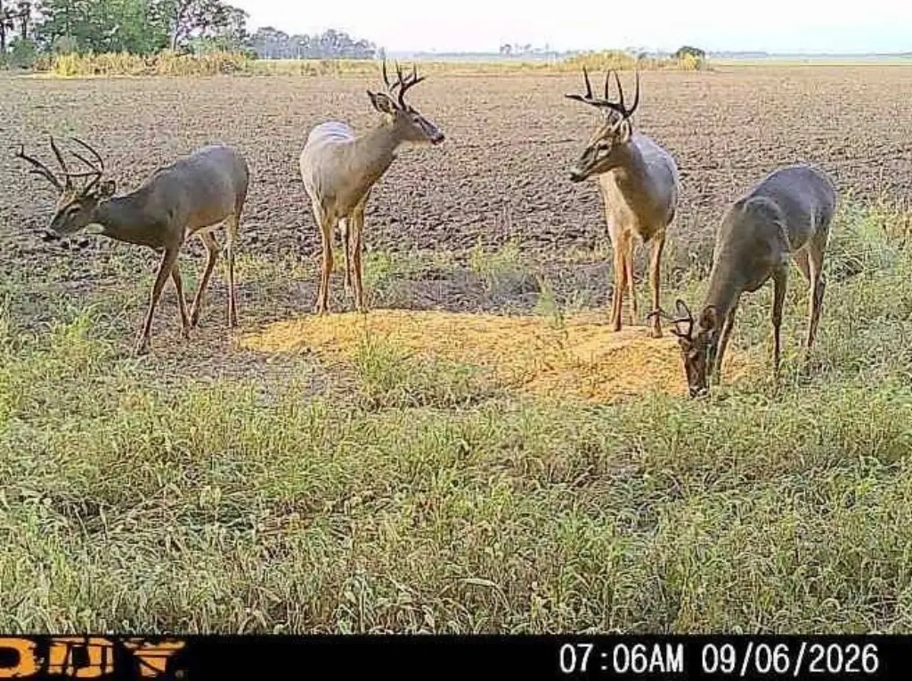
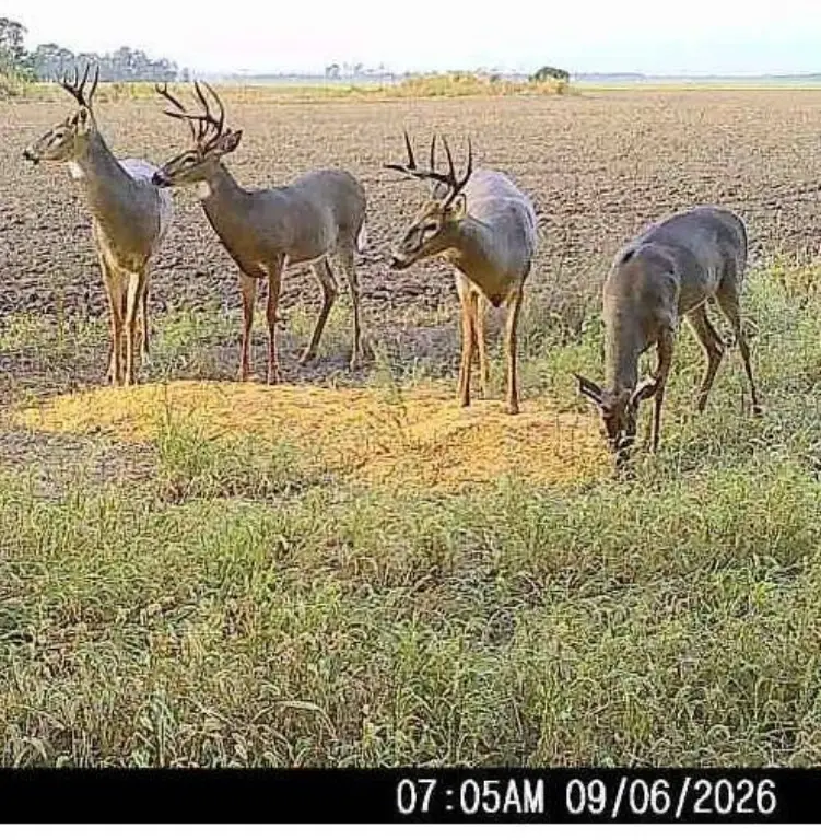
This 56.46-acre agricultural property combines approximately 37 acres of tillable ground with 19 acres of wooded acreage and wildlife habitat. The cultivated portion contains Class II Tobin silt loam soils, while the wooded area extends along over a mile of Spring Creek frontage. Food plots and bedding areas occupy three narrow crop-ground extensions along the creek. Crop-ground possession follows the 2027 wheat harvest.
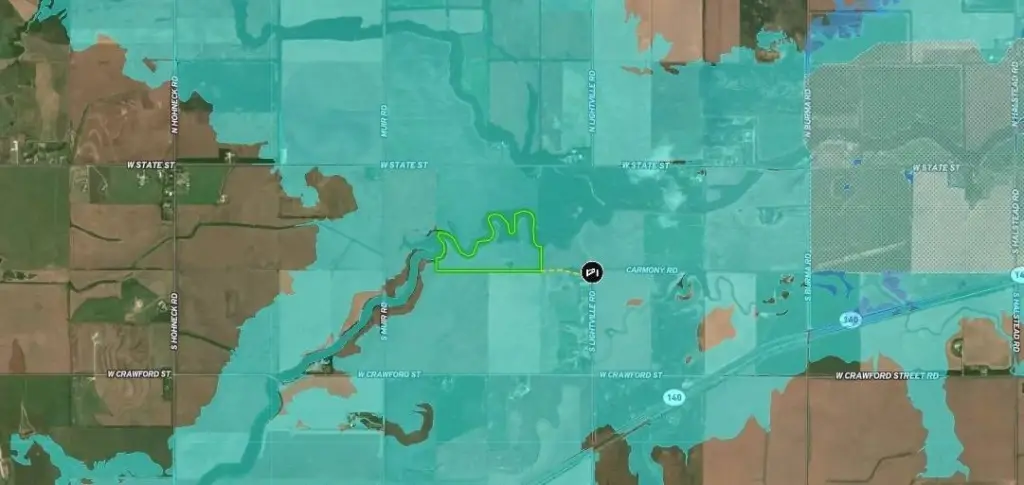
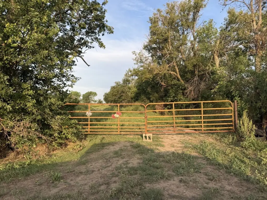
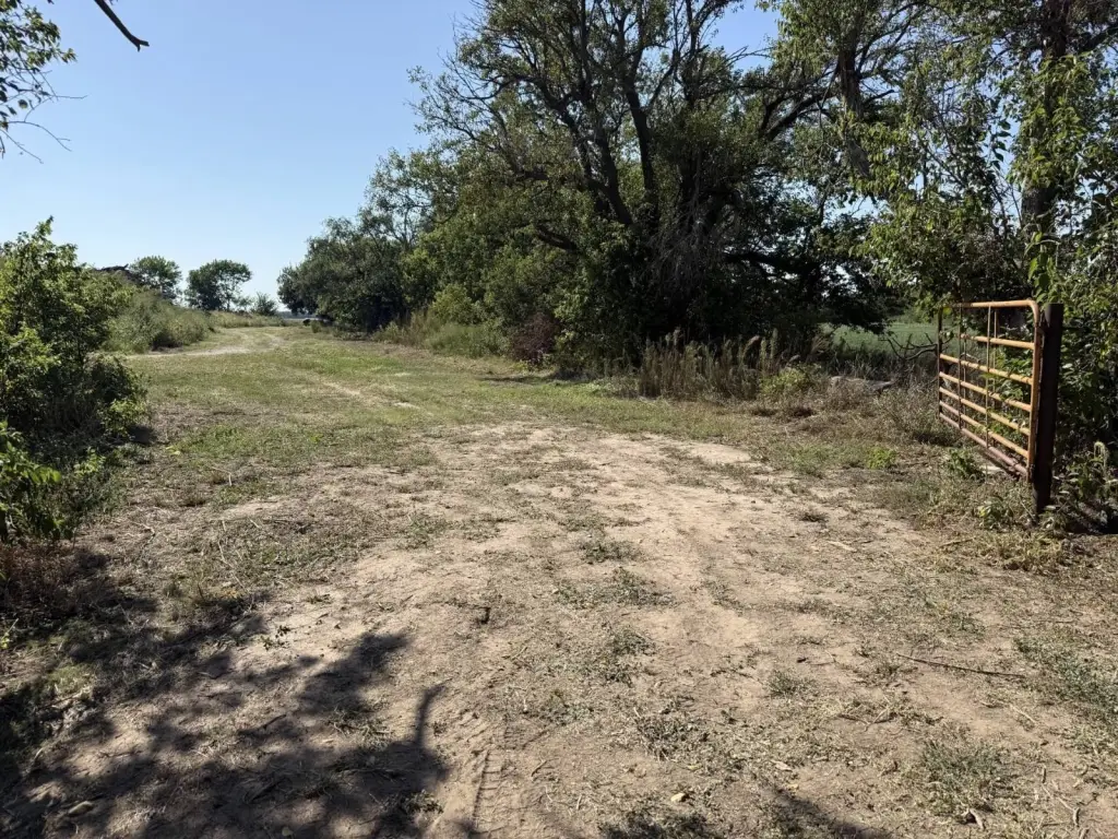
The landlocked tract is situated approximately four miles west of I-135 near Salina, KS. Entry is provided through a 100-foot-wide easement at the southeast corner. A hunting lease remains in effect through December 31, 2026. Historic features include an old military road, reported wagon ruts, an Army campsite reportedly associated with General George Armstrong Custer and other military personnel, and concrete footings from an old homesite in the south woodlot.
The landlocked tract is situated approximately four miles west of I-135 near Salina, KS. Entry is provided through a 100-foot-wide easement at the southeast corner. A hunting lease remains in effect through December 31, 2026. Historic features include an old military road, reported wagon ruts, an Army campsite reportedly associated with General George Armstrong Custer and other military personnel, and concrete footings from an old homesite in the south woodlot.
Key Highlights
- 56.46 acres total, including approximately 37 acres tillable and 19 acres wooded
- Class II Tobin silt loam soils on the tillable ground
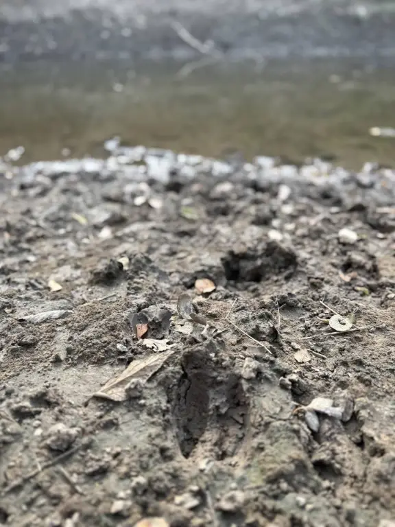
- Over a mile of Spring Creek frontage with food plots and bedding habitat
Property Analytics
Current Use
Location Intelligence
Trade Area within ½ mile
2
Businesses Nearby
Explore this area
Business Placement
Demographics for 67401, KS
50,338
Population
22,434
Households
2.2
Avg Household Size
39
Median Age
29%
College-Educated
93%
High-School Grad
252.0 sq mi
ZIP Area
200
Density / Sq Mi
$62,603
Median Household Income
$36,995
Median Earnings
$913
Median Rent
$172,700
Median Home Value

Questions? Ask Rey
Realmo’s AI knows this listing — price, zoning, demand, history. Ask anything.


Frequently Asked Questions
What type of property is this?
Agricultural land / Farmland - Class II soils, timber, creek frontage, and an access easement define this rural agricultural tract.
Where is this agricultural land / farmland located?
The property is located at Carmony Rd. Salina, KS.
What is the asking price?
The asking price for this property is $338,760.
What are key features of this property?
This property features: 56.46 acres total, including approximately 37 acres tillable and 19 acres wooded; Class II Tobin silt loam soils on the tillable ground; Over a mile of Spring Creek frontage with food plots and bedding habitat


