KUKUI O PAE PL, Captain Cook, HI 96704
- Added:
- Jun 6, 2026
- Days on Market:
- 7
- Last Refresh:
- Jun 12 at 10:06 pm
Property Features for KUKUI O PAE PL
General Information
- Property type
- Land
- Property subtype
- Other
- Zoning
- A-5A
- Standard status
- Active
- APN
- 3870110250000
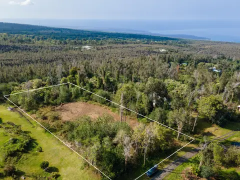
- Lot size
- 7.14 Acres
Taxes and HOA fees
- Tax Year
- 2023
- Tax Annual Amount
- 2233
Utilities
- Utilities
- Phone Available
- Sewer type
- Septic Tank
Listing agent Kona Carla Womack (808) 896-6768
Listing office Coldwell Banker Island Properties - Kona Ali'i Sunset Plaza 75-5799 Ali'i Dr., Suite A-3, Kihei, HI (808) 875-7000
Listing date Jun 6, 2026
Copyright © 2026 Hawaii Information Service. All rights reserved. All information provided by the listing agent/broker is deemed reliable but is not guaranteed and should be independently verified.
HighLights
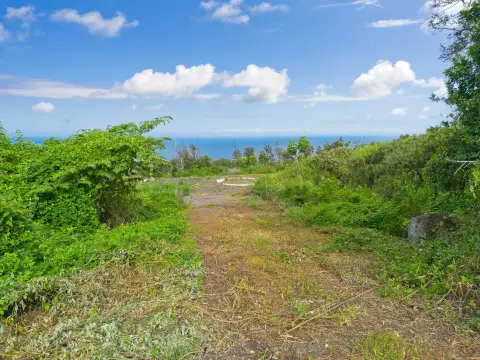
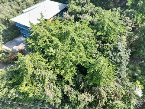
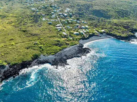
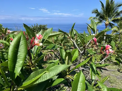
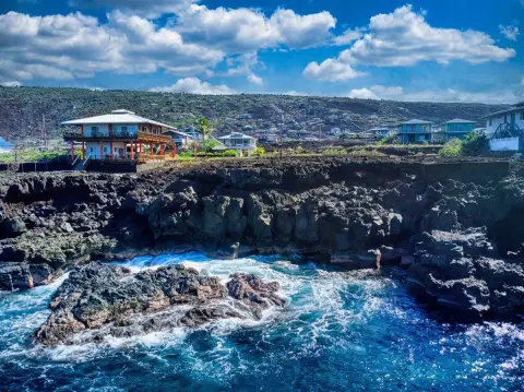
- 7.14 private acres in gated Kona Sea Ranch with surf and sunset views
- Flag lot with partially paved, wide paved road access to multiple house pads
- Zoned agriculture; permitted house plans for 2 house design renderings (original and revised smaller version)
- Septic in (permitted) plus a 10,000‑gallon new water tank with pressure tank, pump, and UV filtration system
- Lower pad includes a 16x22 concrete slab and an 8x12 shed
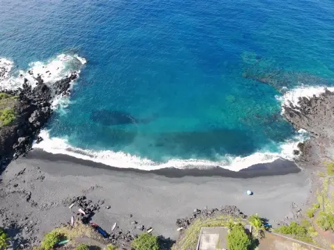
- Approximately 500' elevation with lots of sunshine for solar; near Pebble Beach (about 10 minutes) and Hookena/2 Step beaches
Overview
The land is positioned to capture surf and year-round sunset views. The road network is described as a wide paved road within the community, with the lot reached via the partially paved flag-lot access. Kona Sea Ranch is subject to HOA and CC&Rs; the remarks state the HOA has not been initiated and there are no current fees. The directions note the property is on the makai/ocean side of the Kona Sea Ranch community.
For tenants, buyers, or builders looking for a private home site, the existing house pads and permitted septic/water infrastructure may reduce initial site-prep steps. The combination of view orientation, elevation, and multiple pad locations supports planning for a custom build, with the provided permitted design options offering a starting point for development within the community’s controls.
Current Use by Public Records
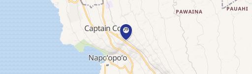
Map
- City
- Captain Cook
- County
- Hawaii
- State
- Hawaii
- Longitude
- -155.811
- Latitude
- 19.3333