Bronco Rd, Peru, KS 67360
- Added:
- Oct 17, 2025
- Days on Market:
- 262
- Last Refresh:
- Jul 5 at 7:06 am
Property Features for Bronco Rd
General Information
- Property type
- Land
- Property subtype
- Other
- Standard status
- Active
- Lot size
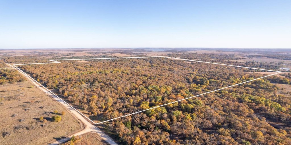
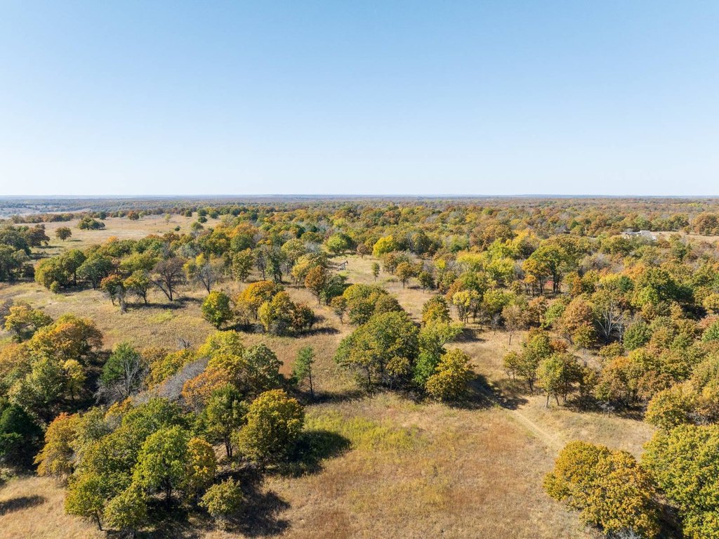
- 363.10 Acres
Listing agent Matt Wonser License #BR00235850 (620) 577-4487
Listing office L2 Realty, Inc 4045B CR 3900, Independence, KS (620) 577-4487
Listing date Oct 17, 2025
Copyright © 2026 My State MLS. All rights reserved. All information provided by the listing agent/broker is deemed reliable but is not guaranteed and should be independently verified.
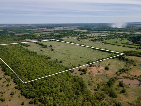
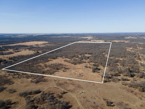
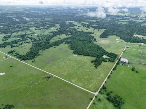
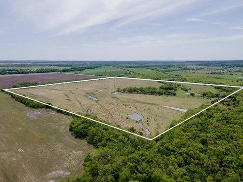
HighLights
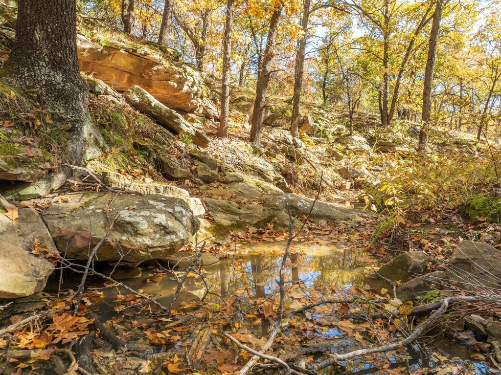
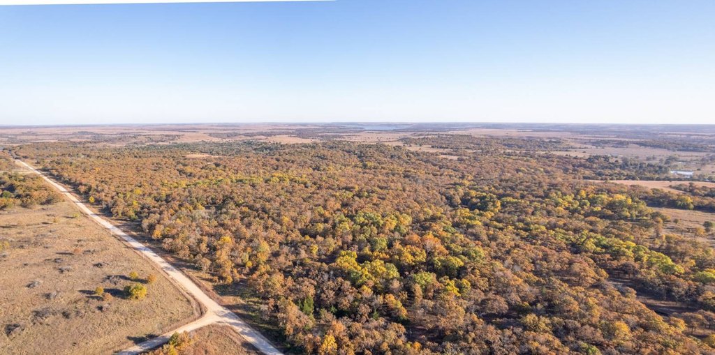
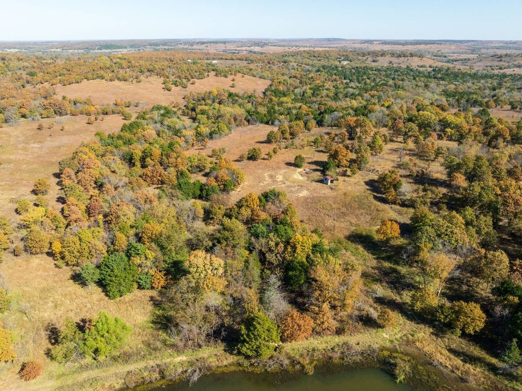
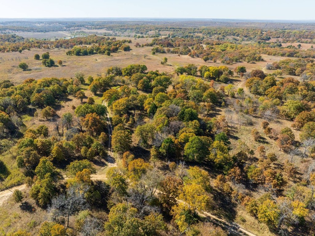
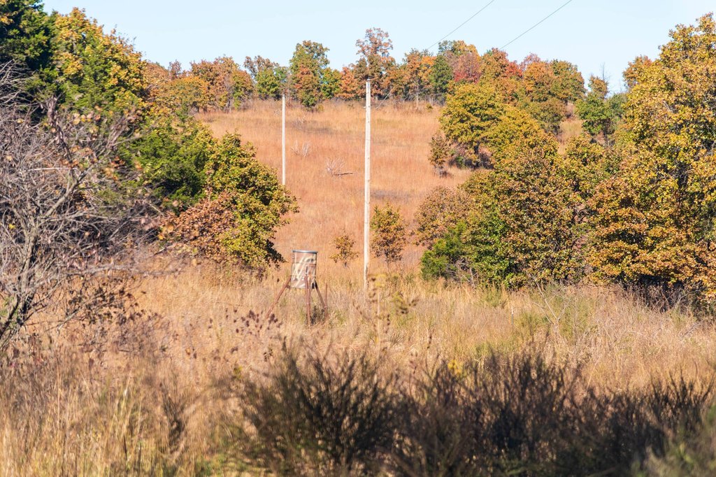
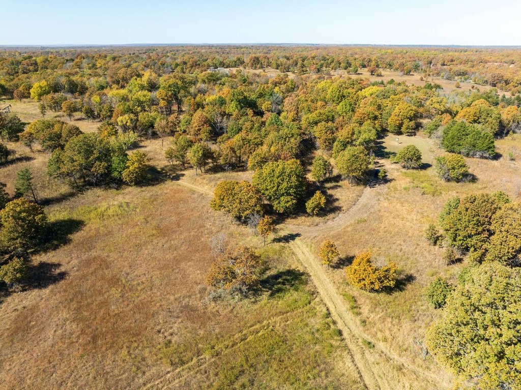
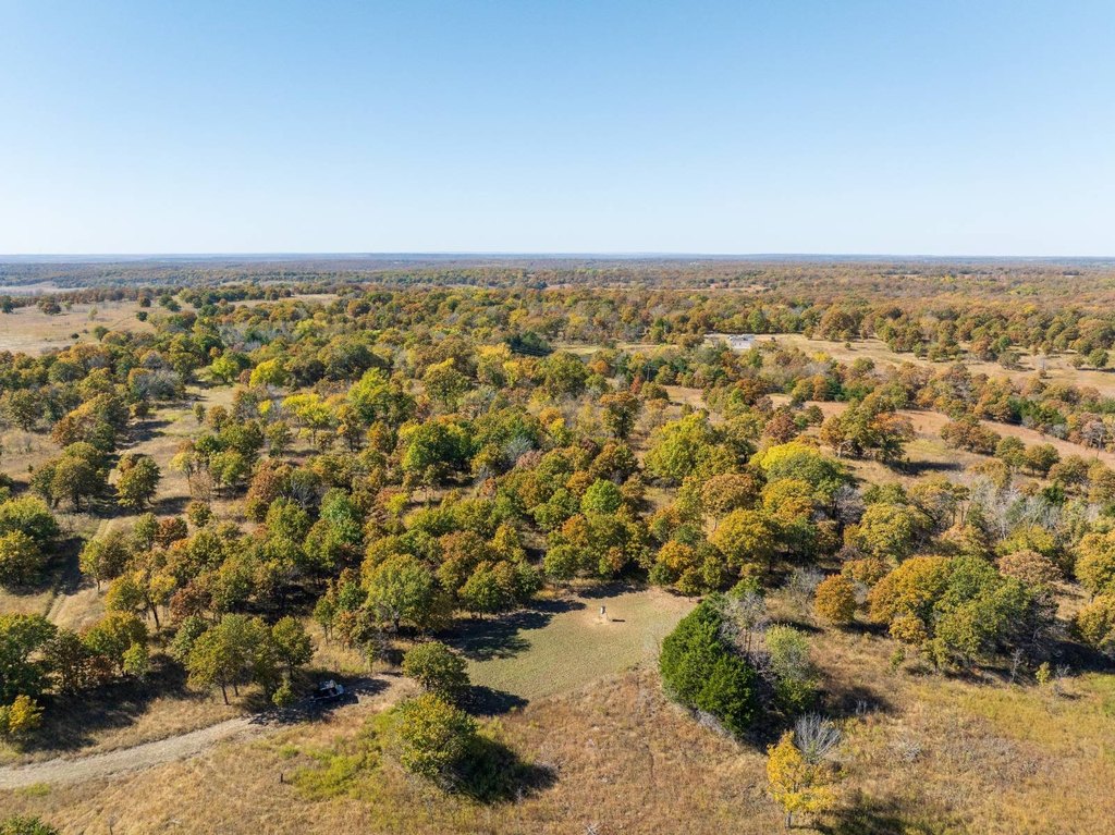
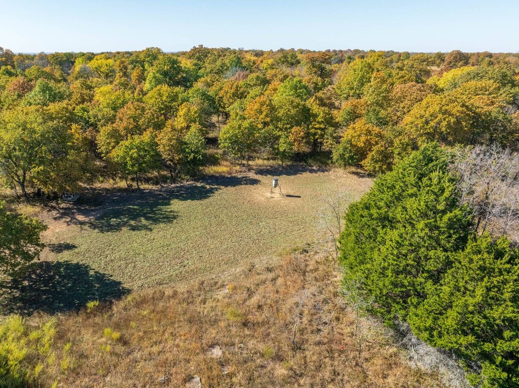
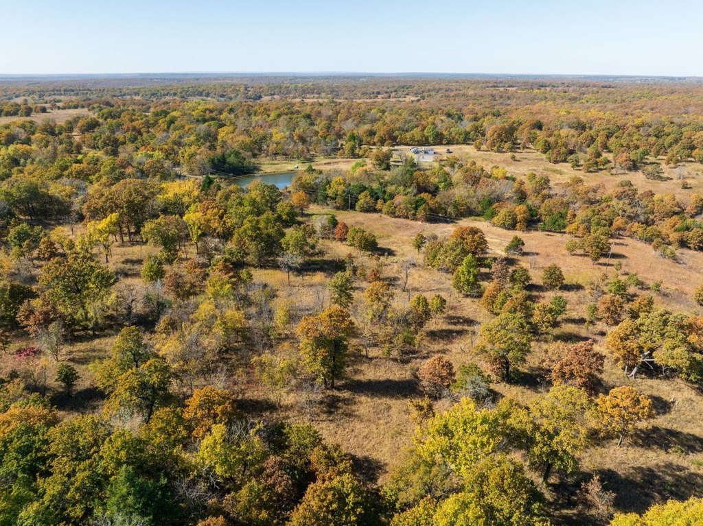
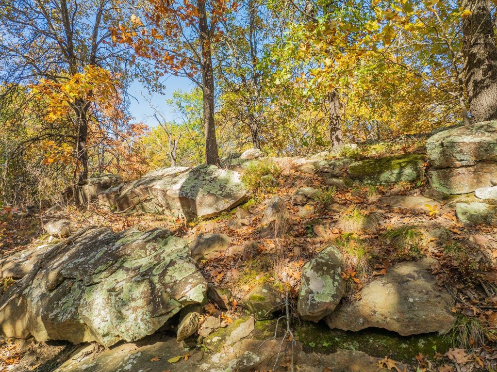
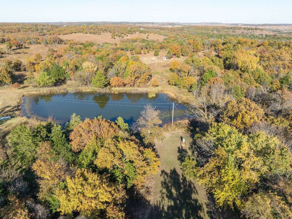
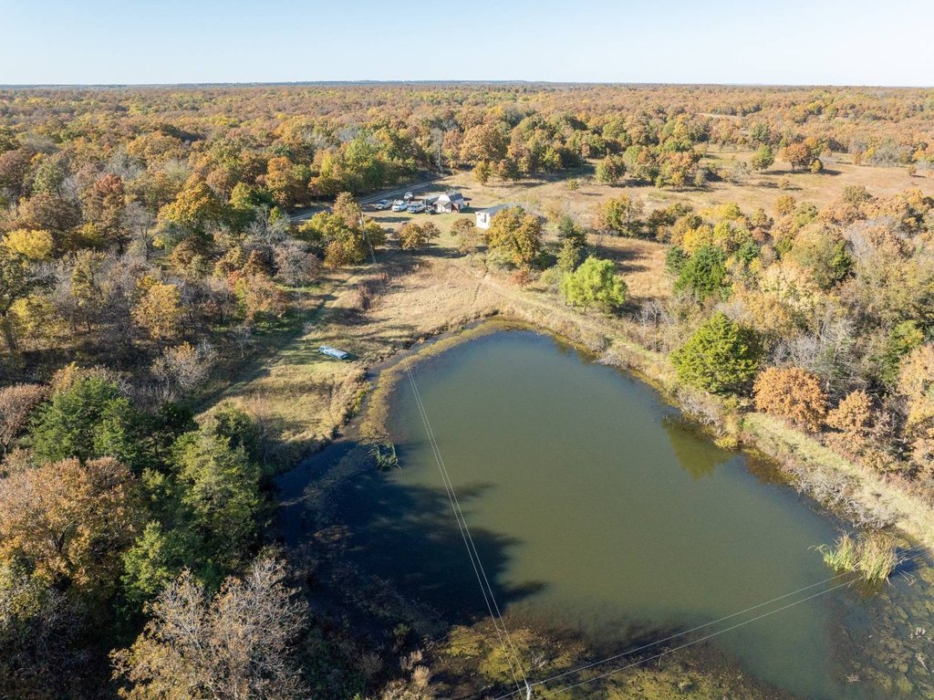
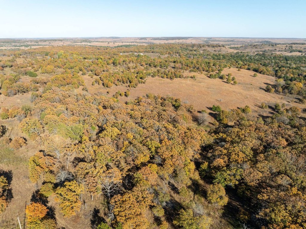
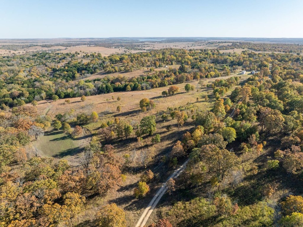
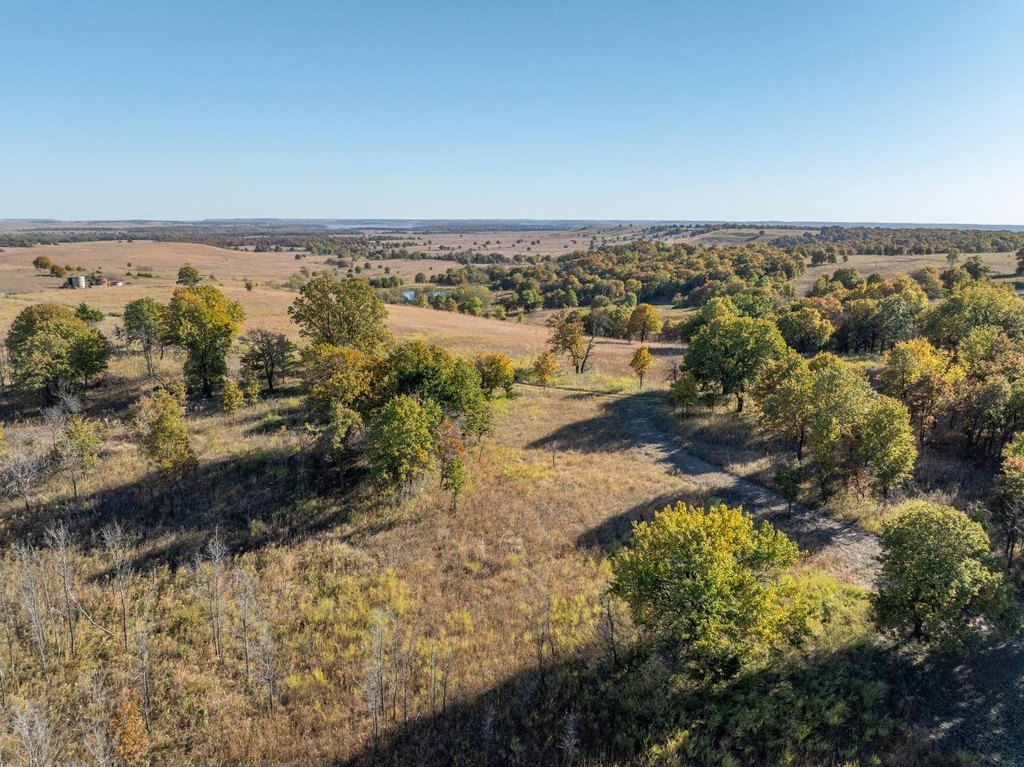
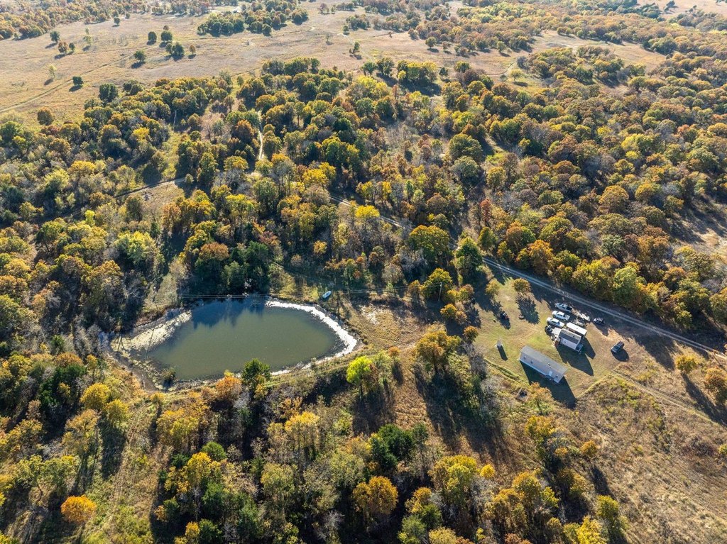
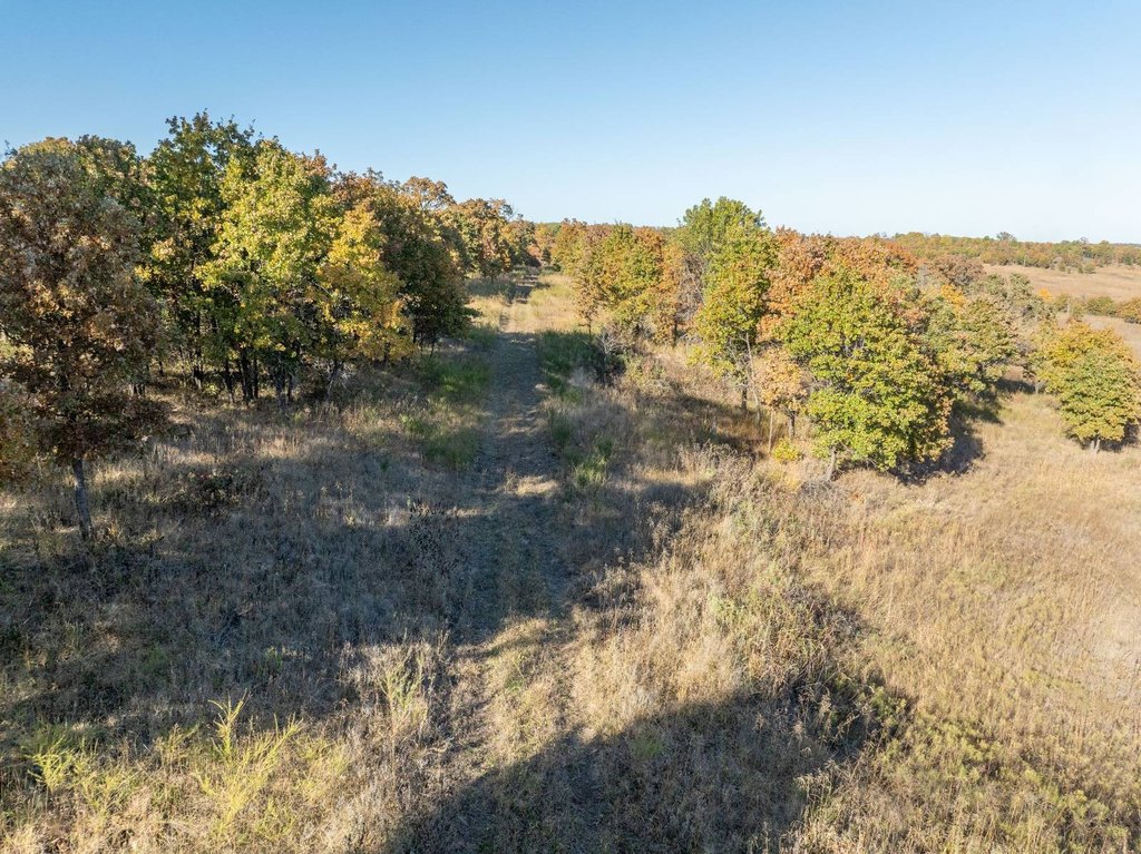
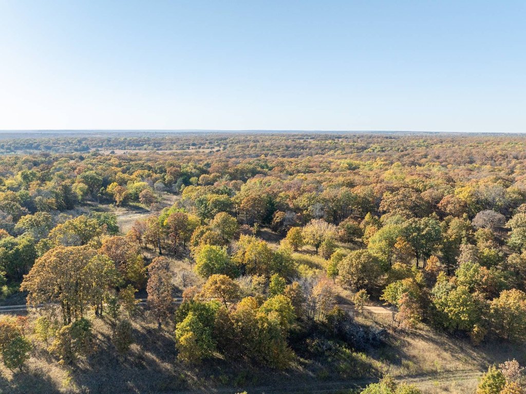
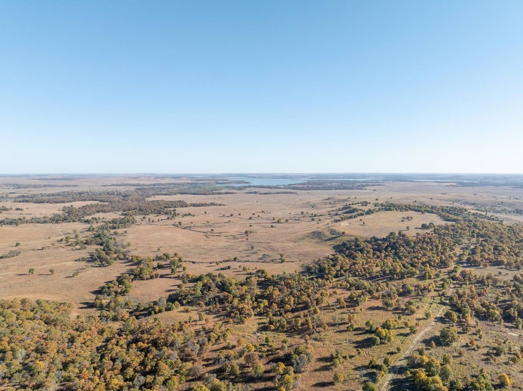
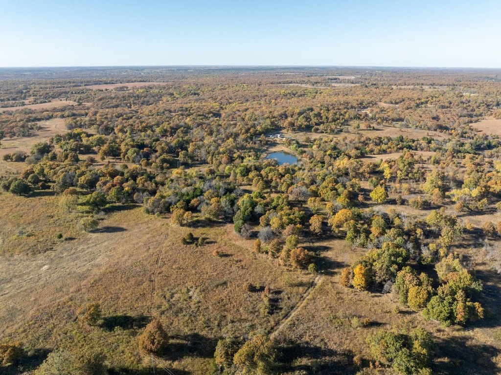
- 363+/- acres of recreational and ranch land on the Kansas–Oklahoma line
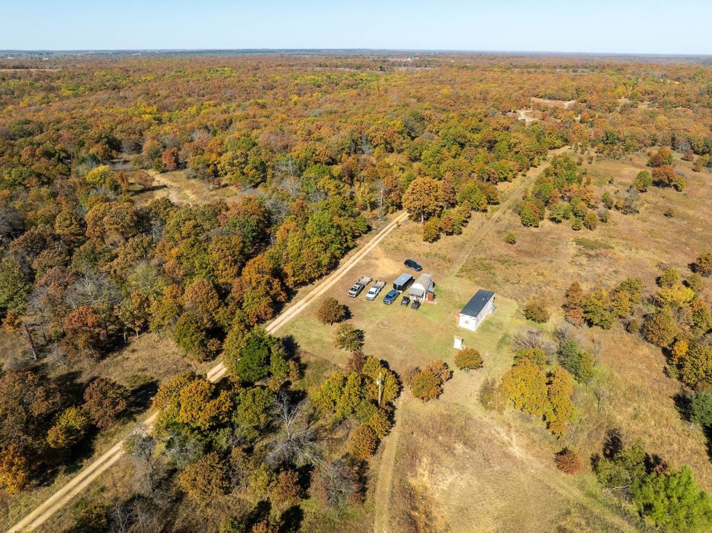
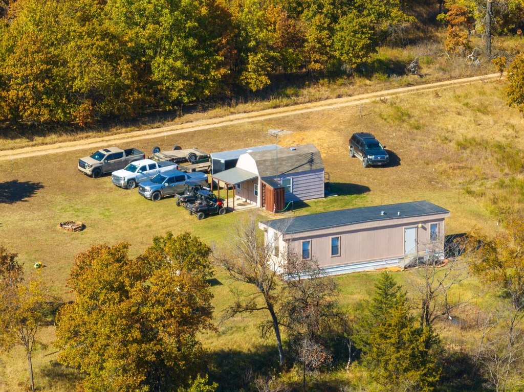
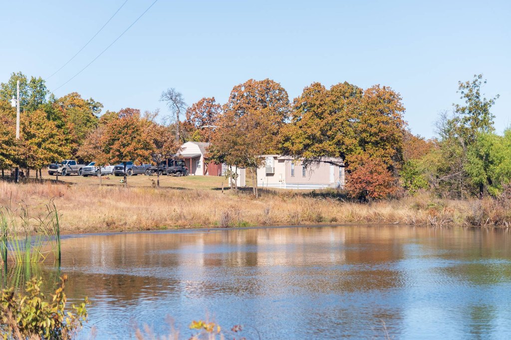
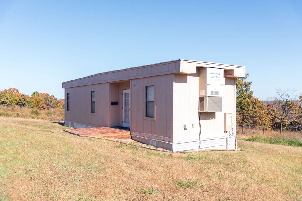
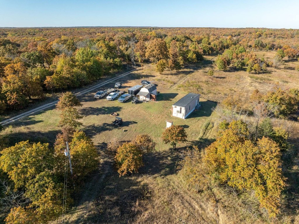
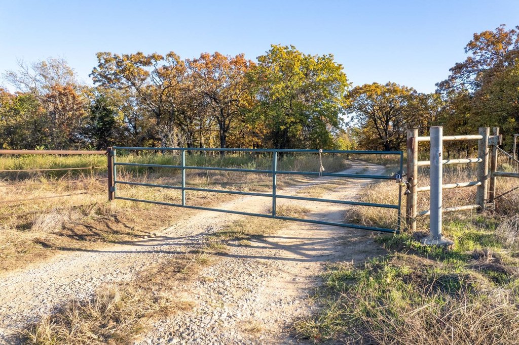
- Cabin site served by rural water, electricity, and lagoon service
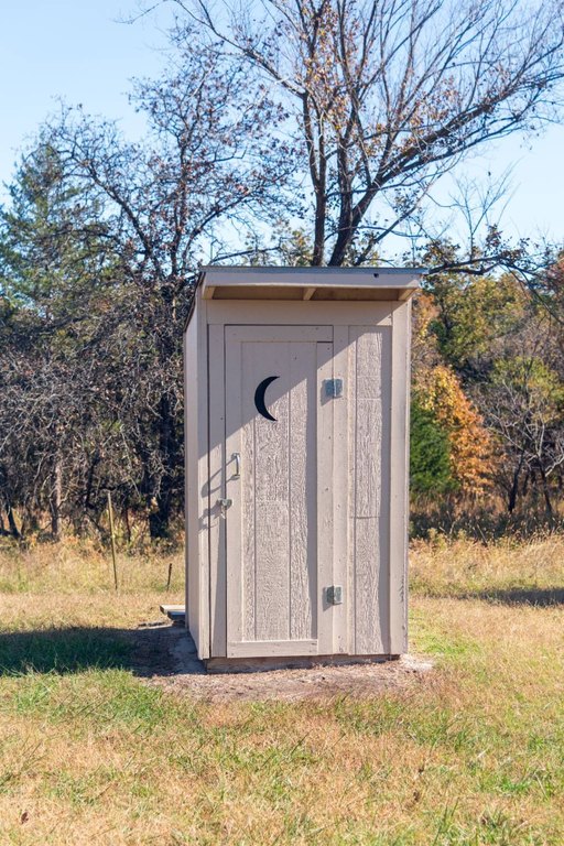
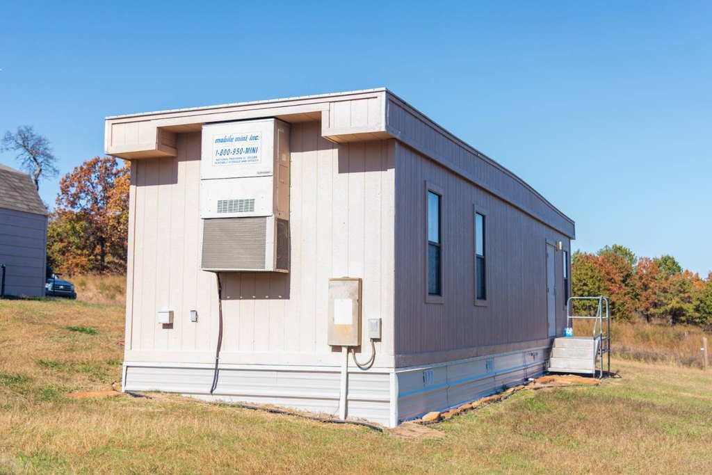
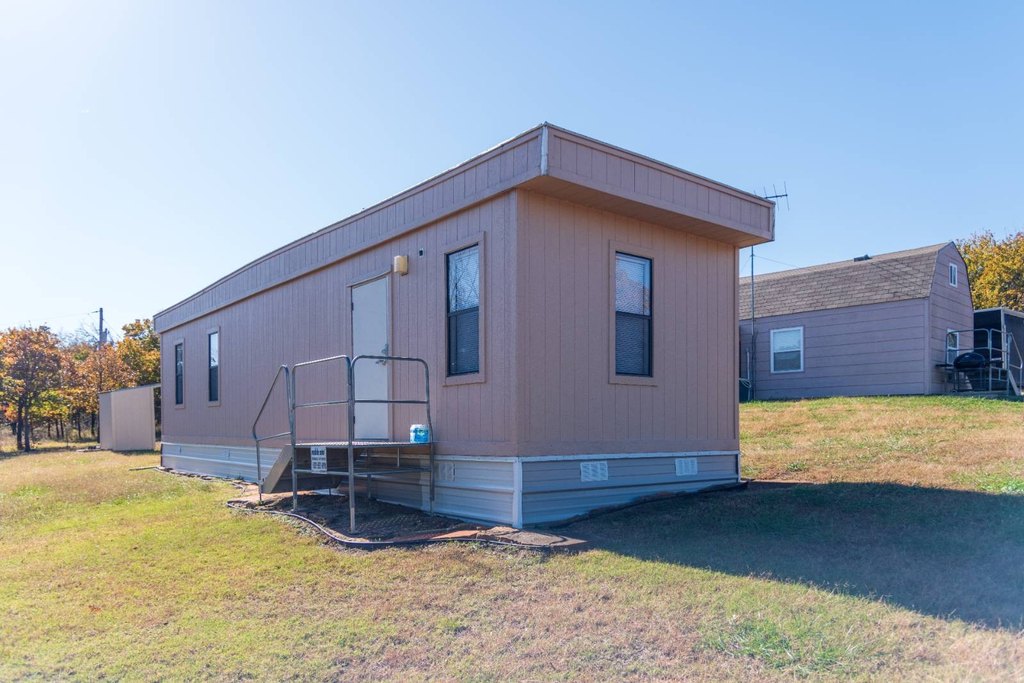
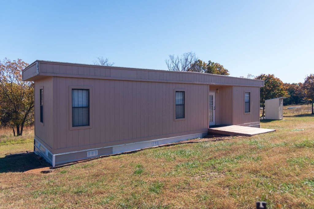
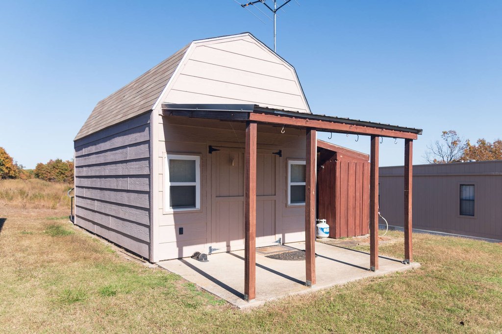
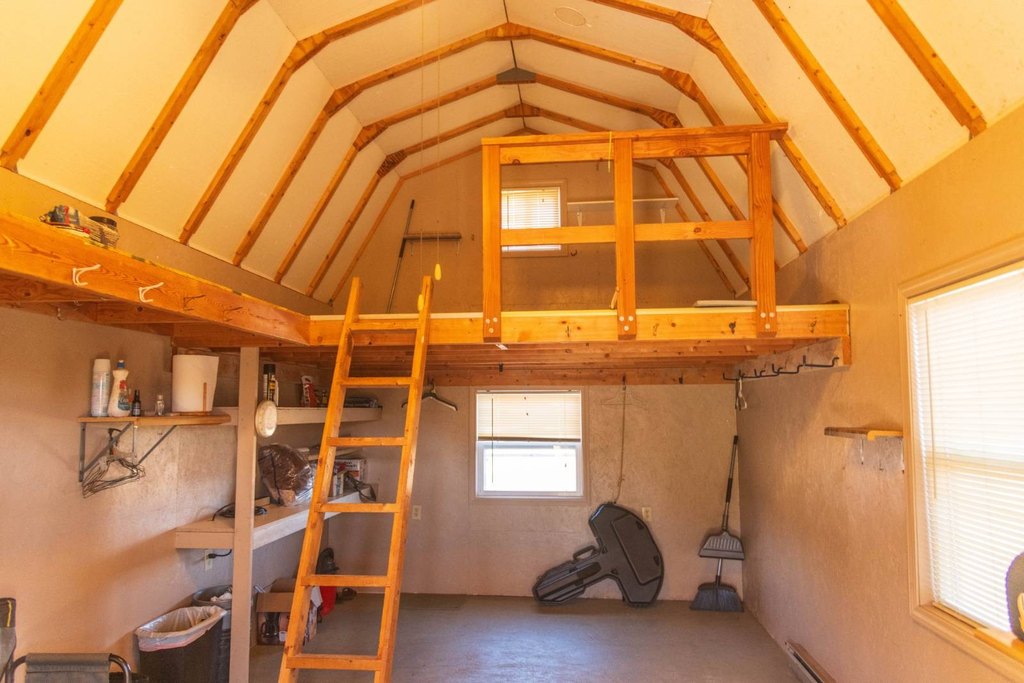
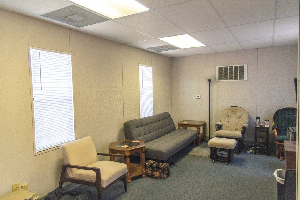
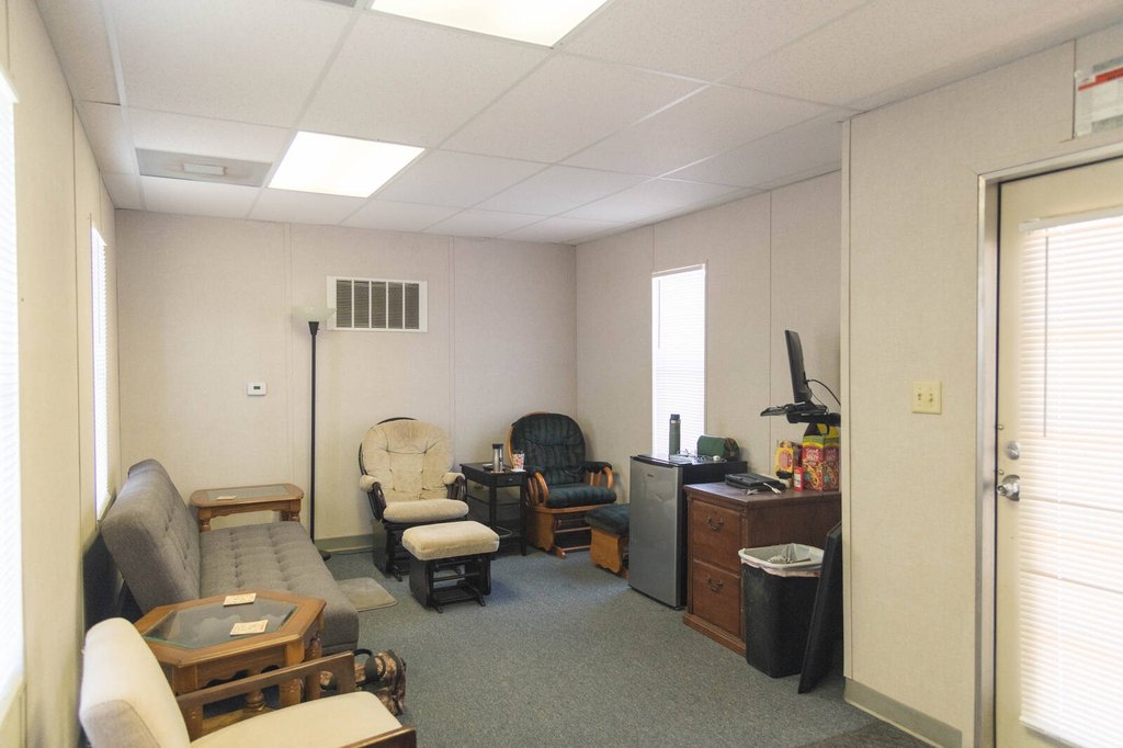
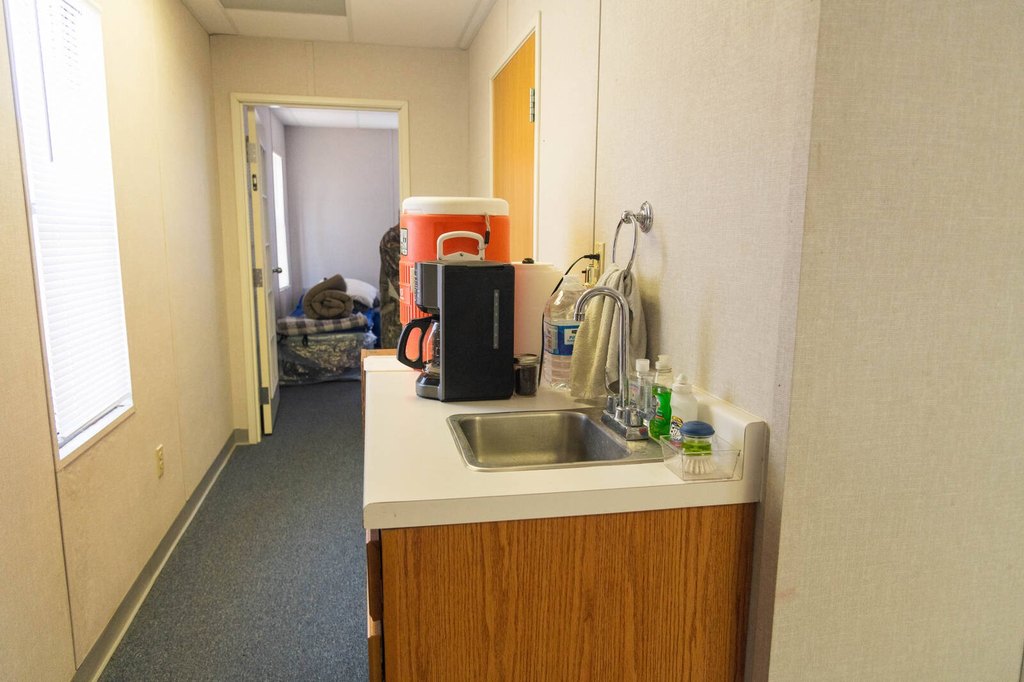
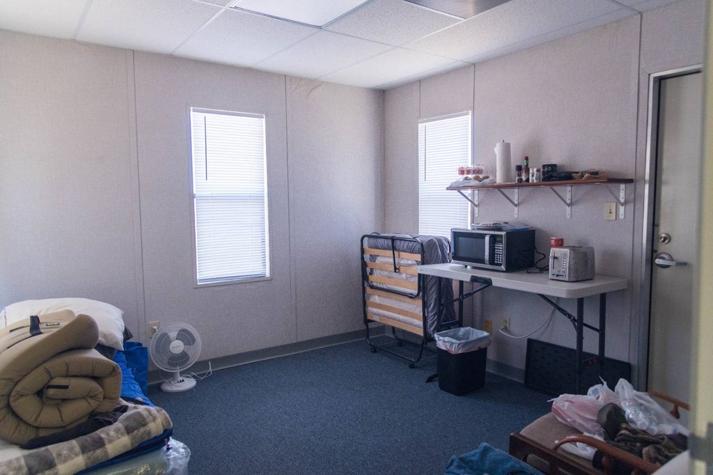
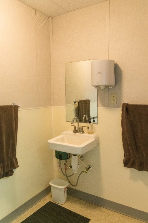
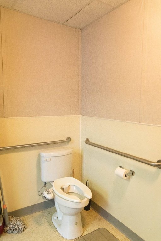
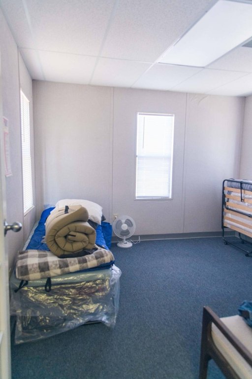
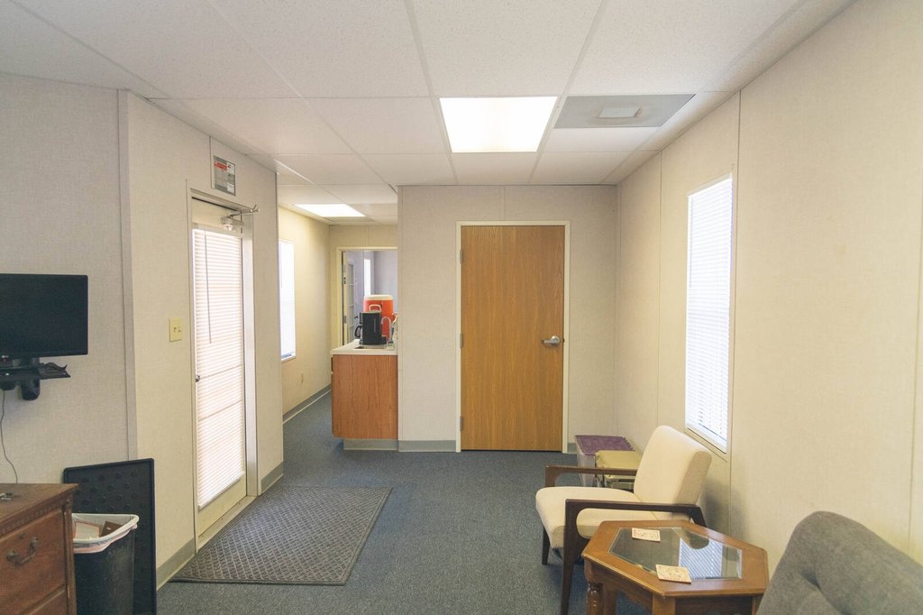
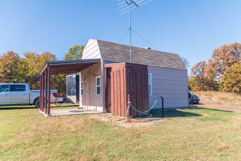
- Comfortable two‑room mobile cabin with central heat & air and a large bathroom
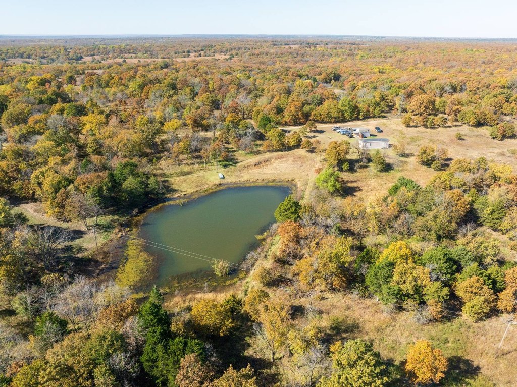
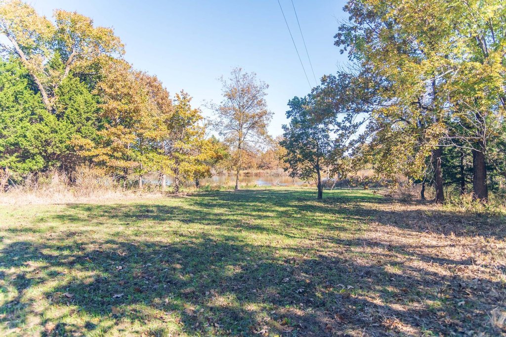
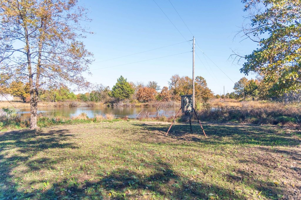
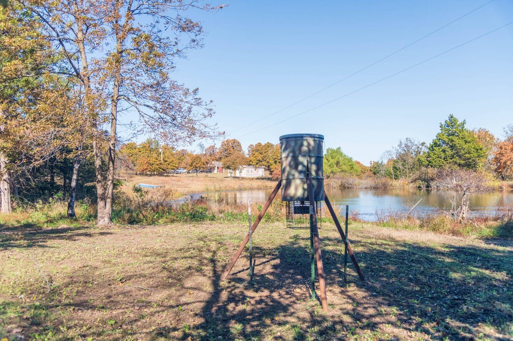
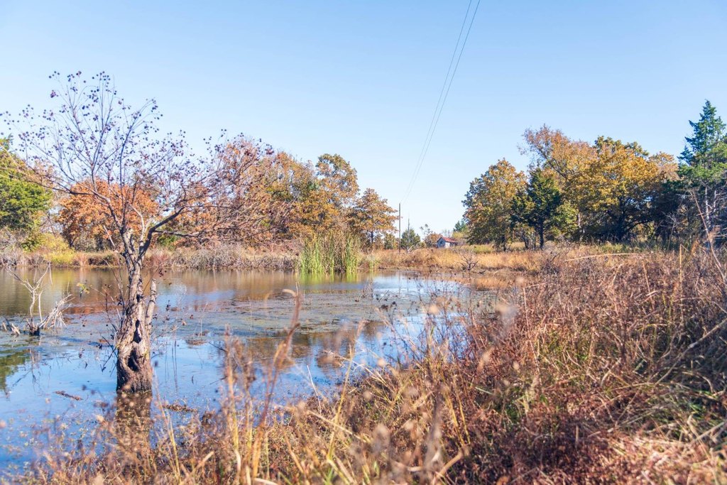
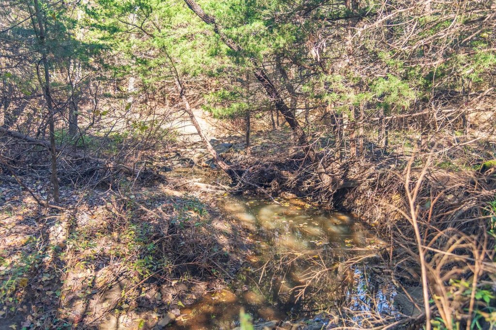
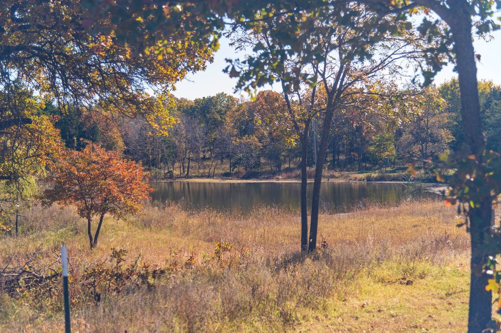
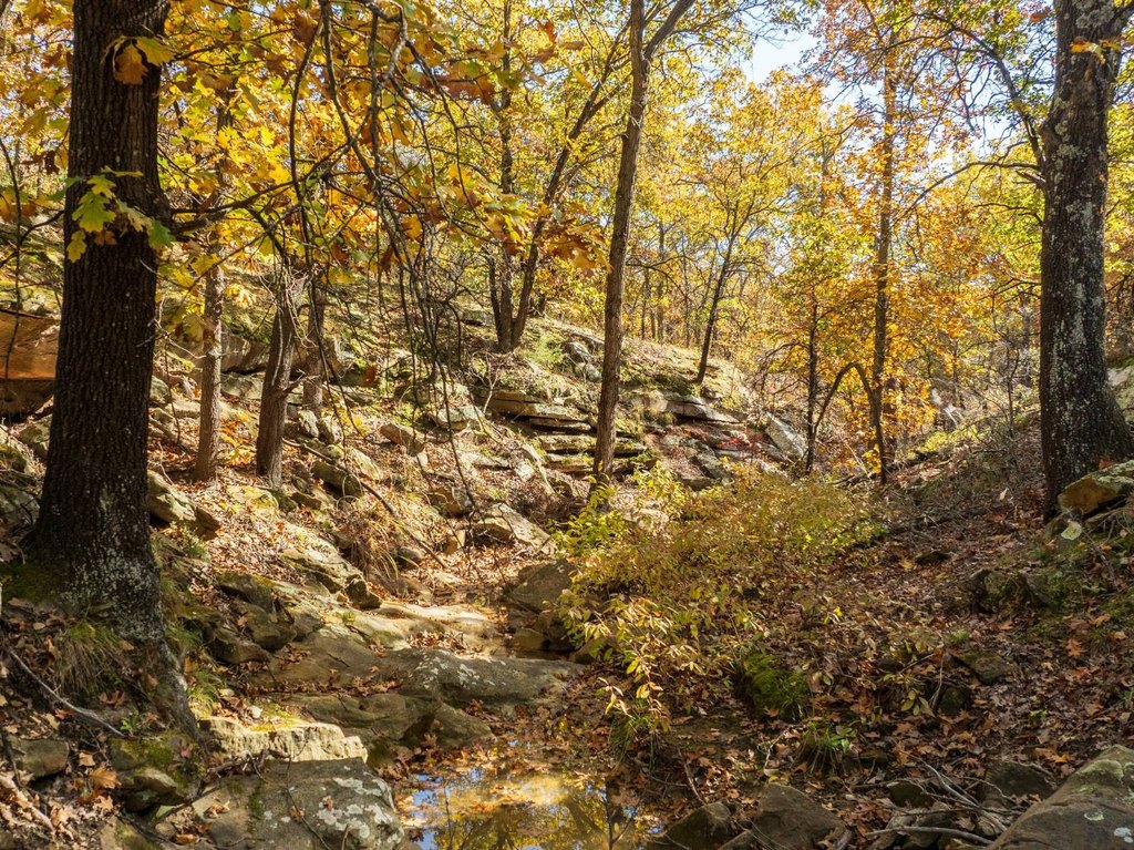
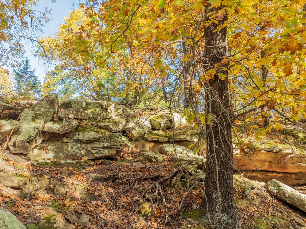
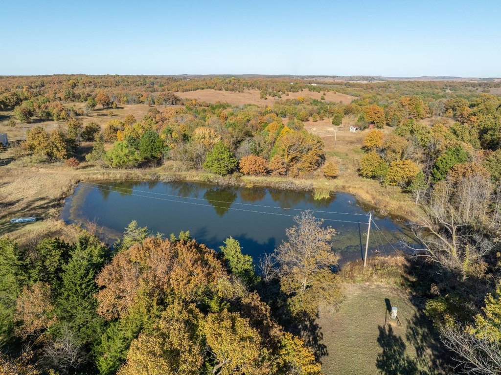
- Two ponds, plus creeks, ravines, and sandstone outcroppings for wildlife habitat and fishing potential
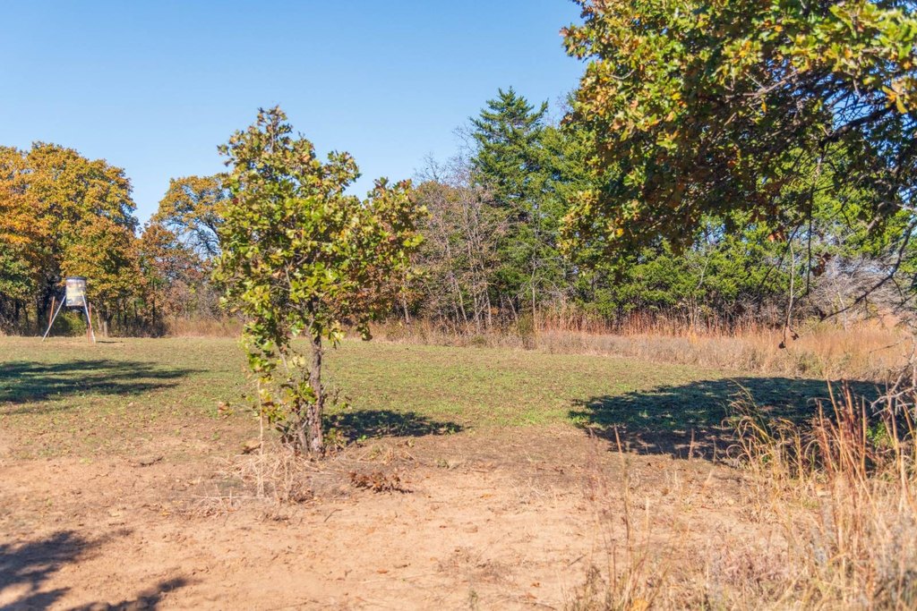
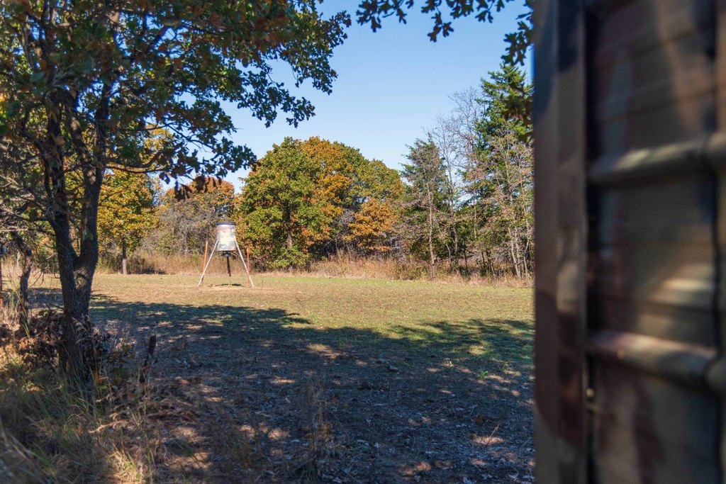
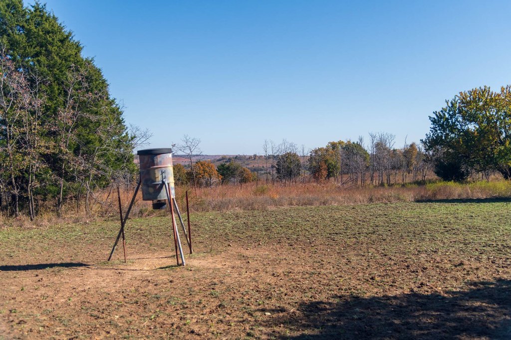
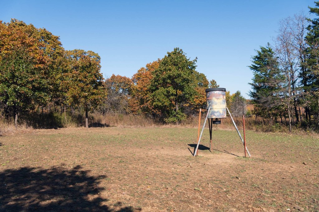
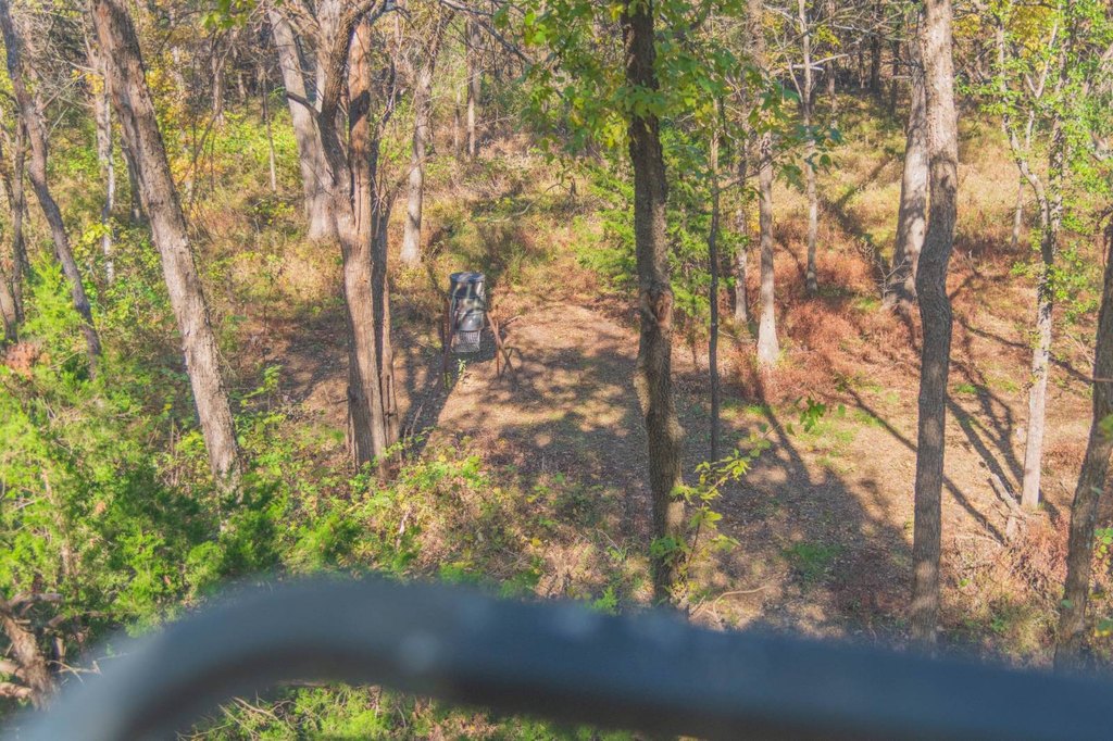
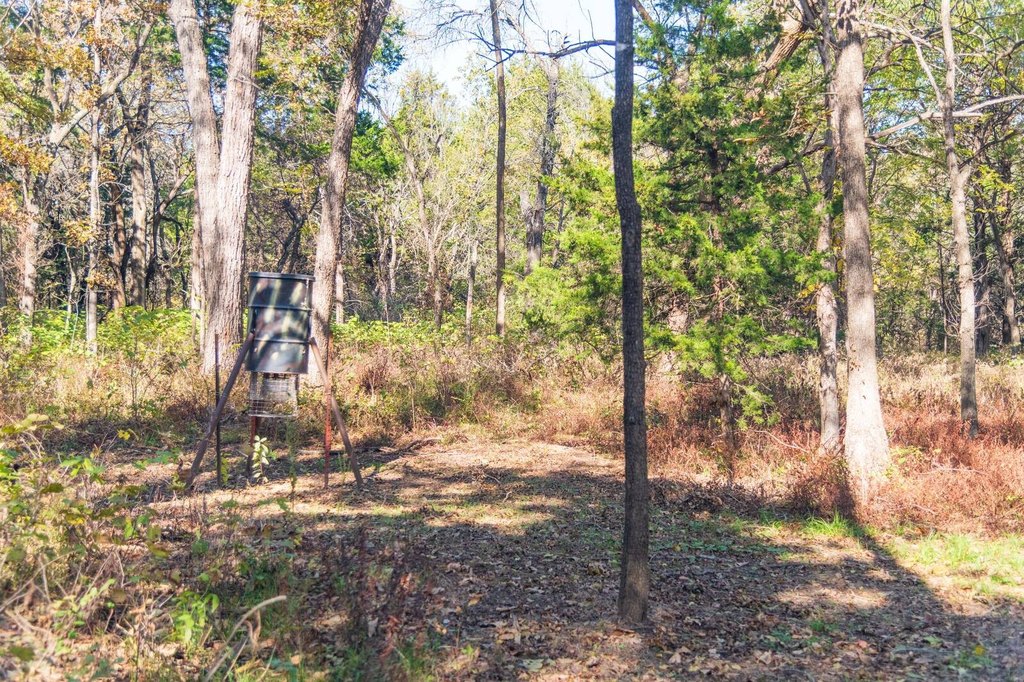
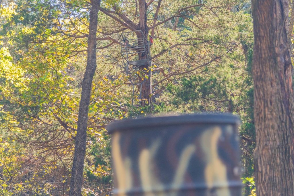
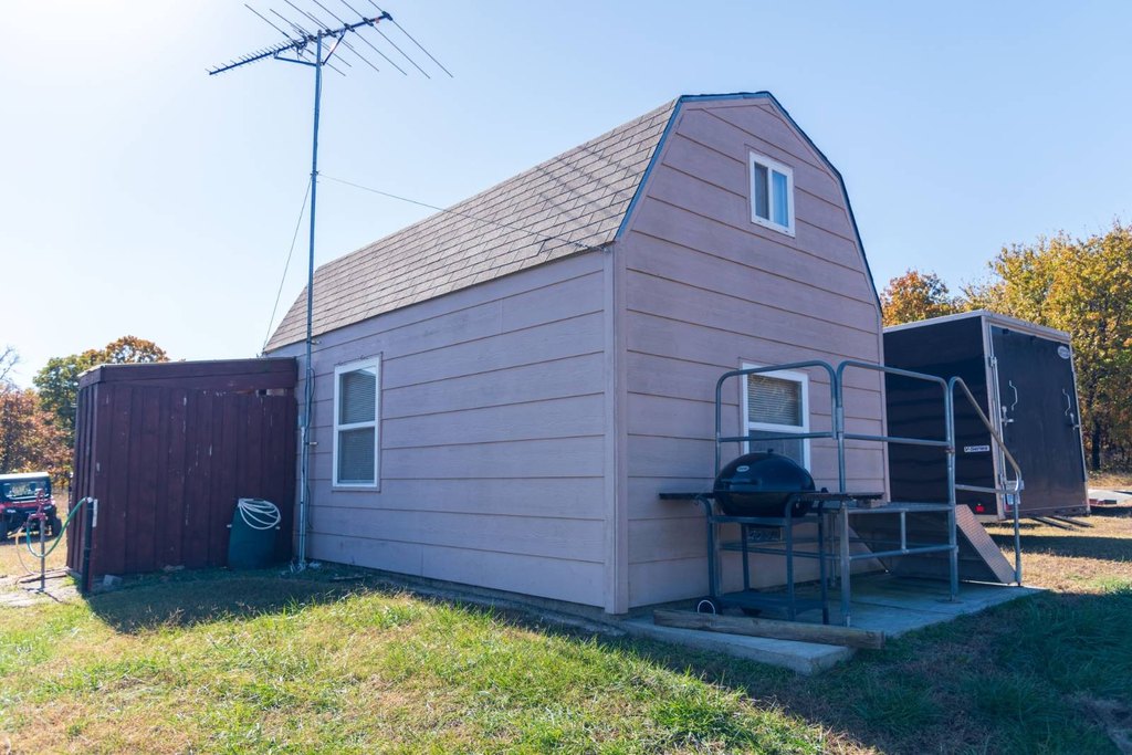
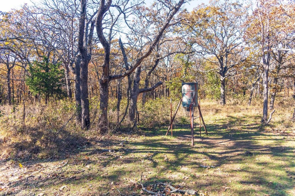
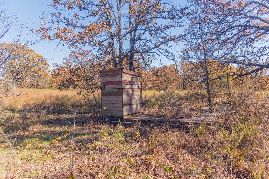
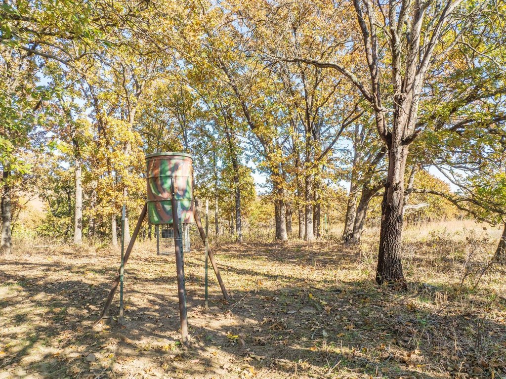
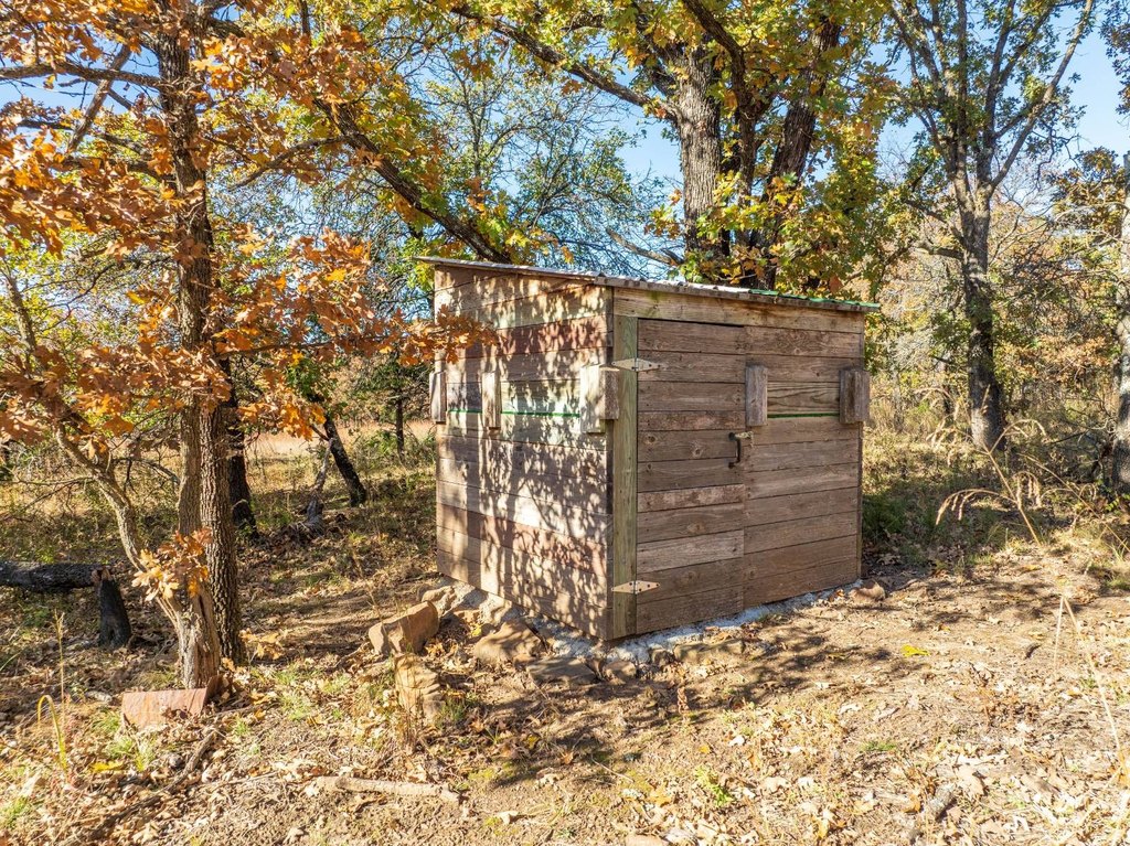
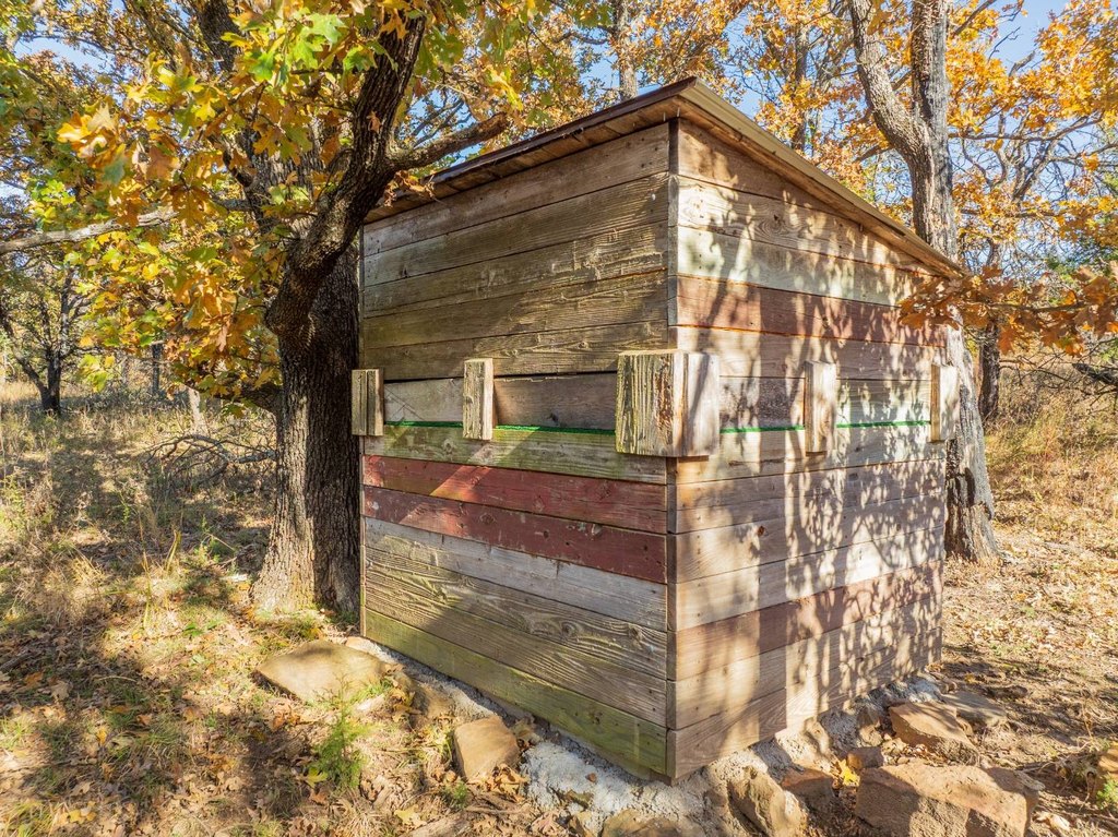
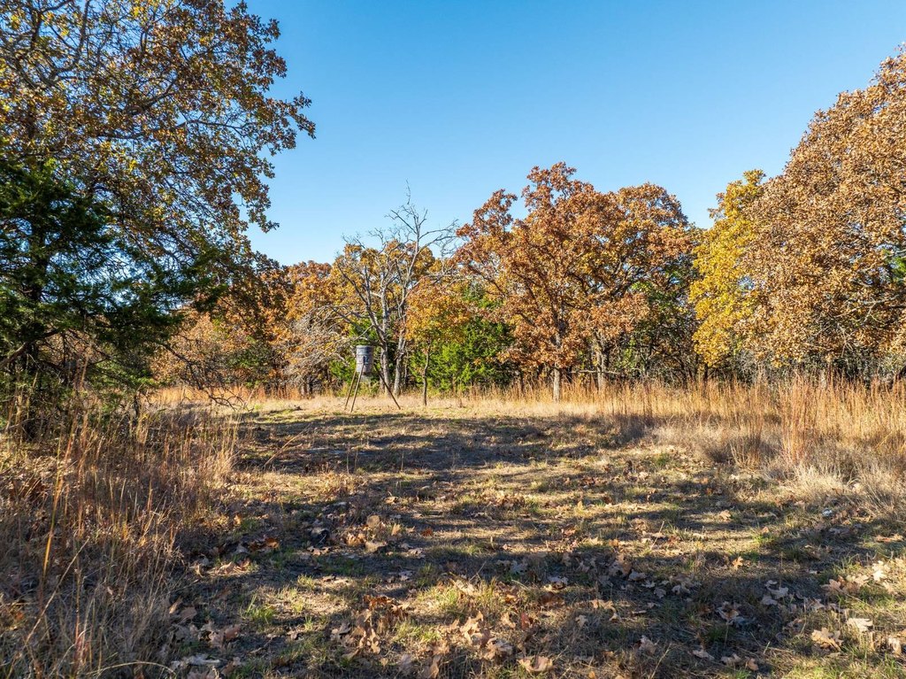
- Multiple established food plots and feeders, along with three hunting blinds (one built from reclaimed redwood decking)
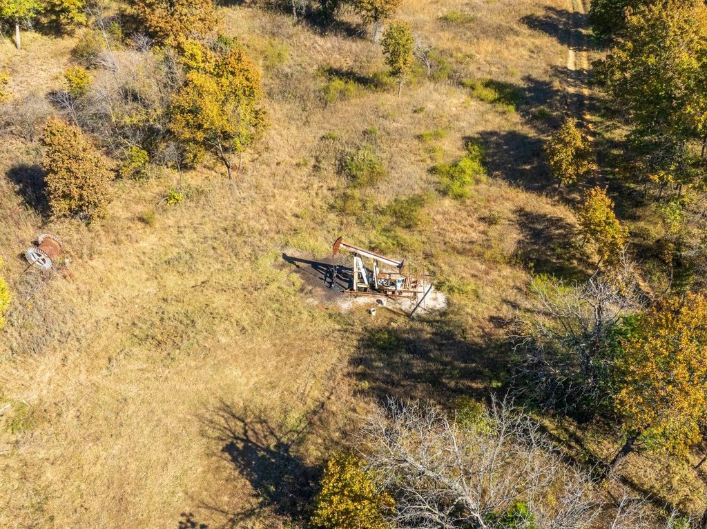
- Mineral rights transfer: seller will convey roughly 60 acres including minerals; remainder excluded (title research to confirm)
Overview
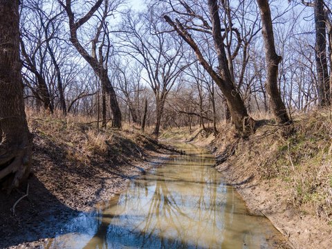
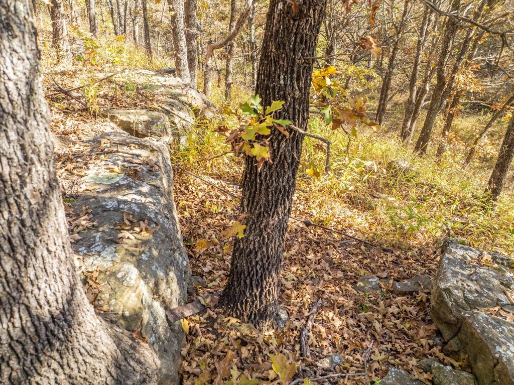
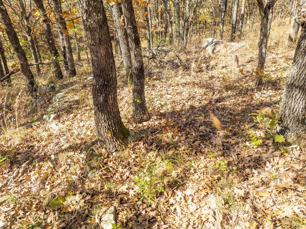
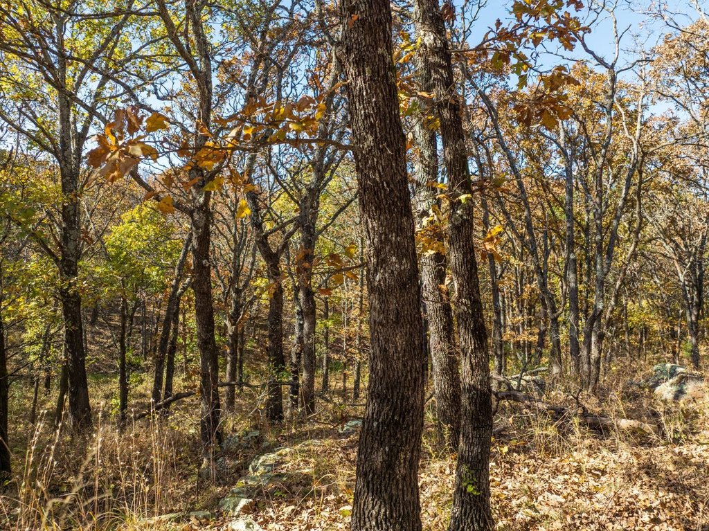
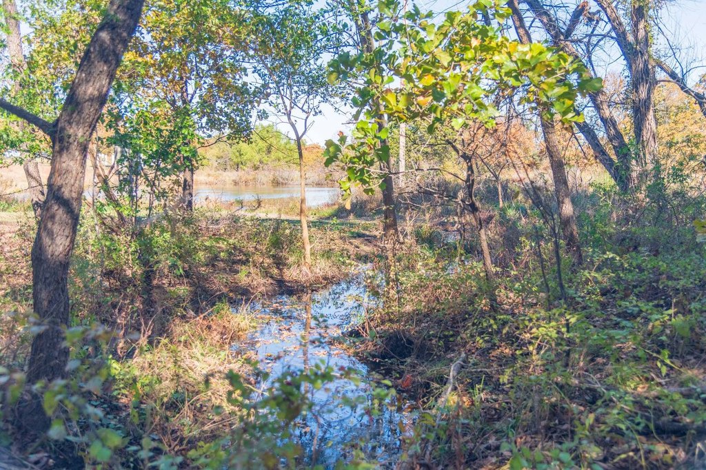
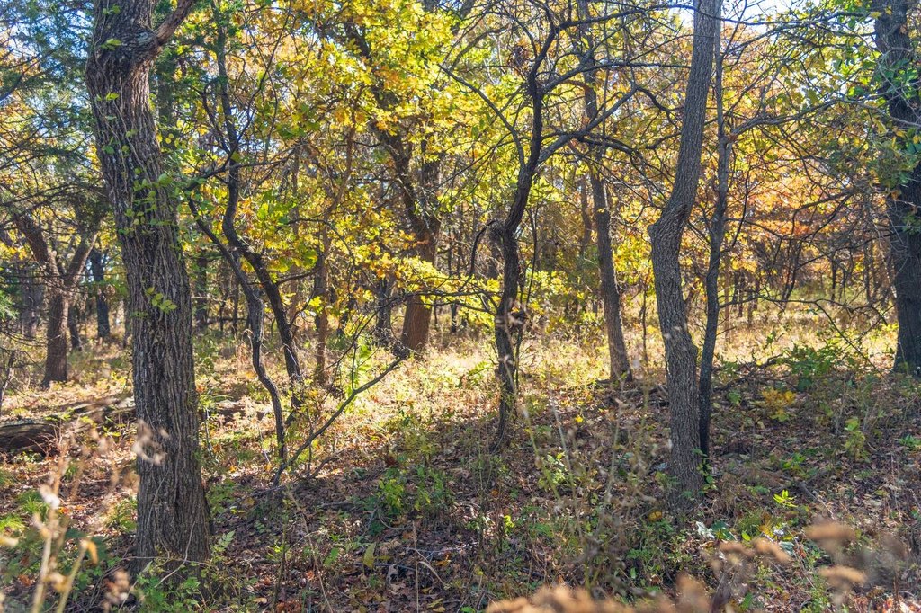
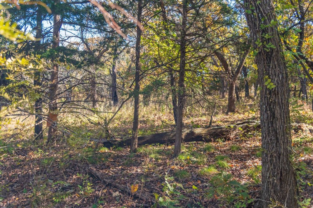
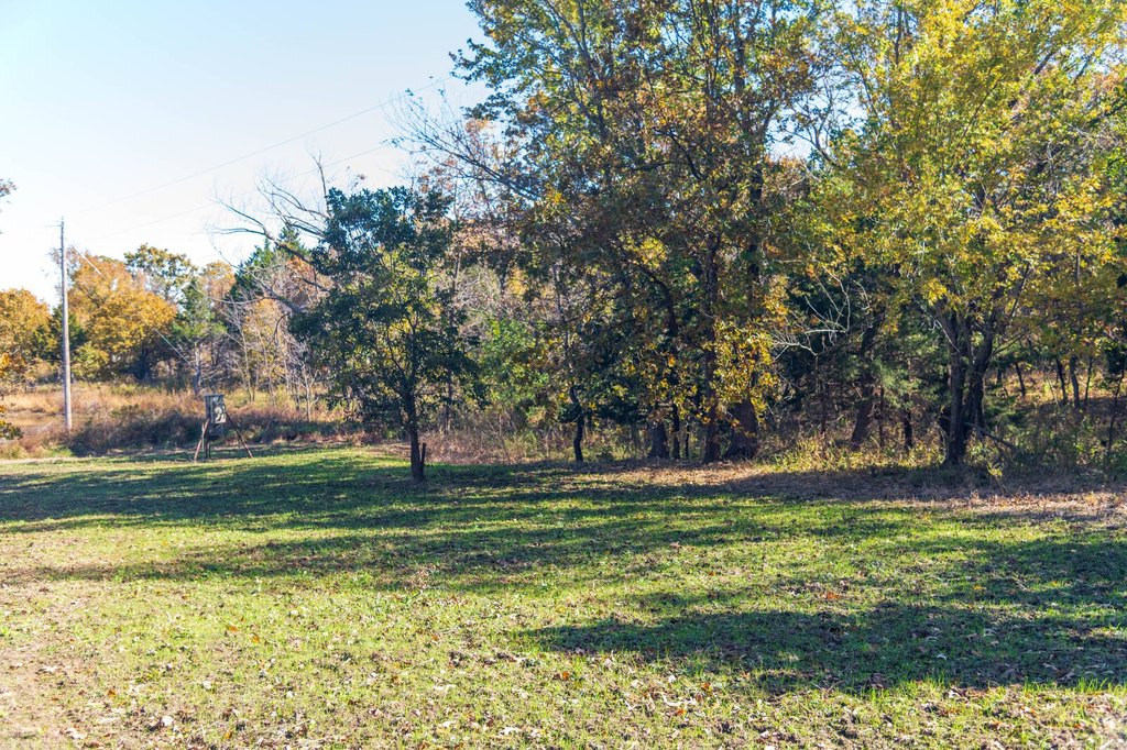
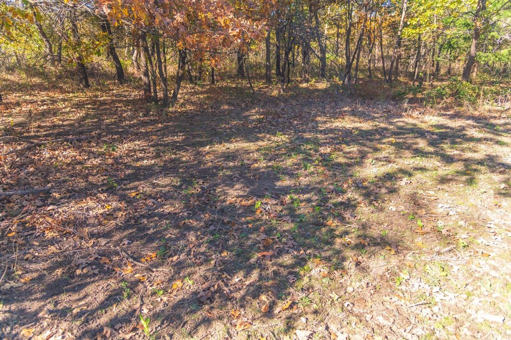
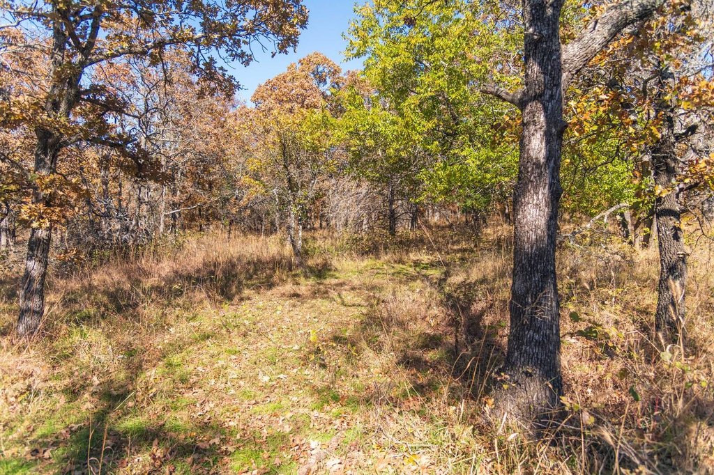
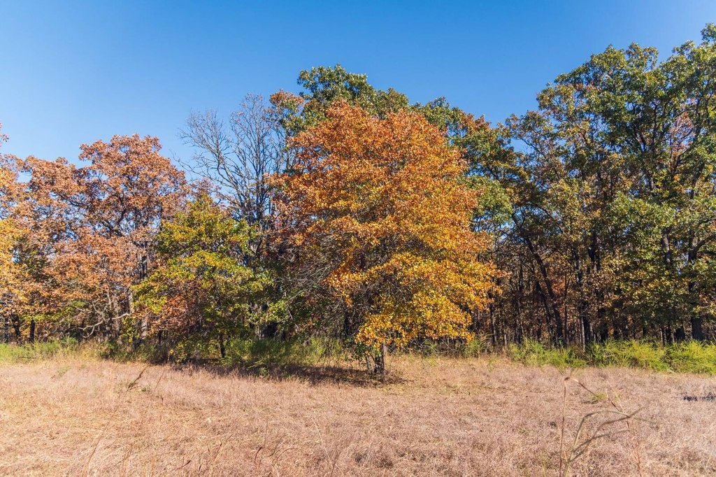
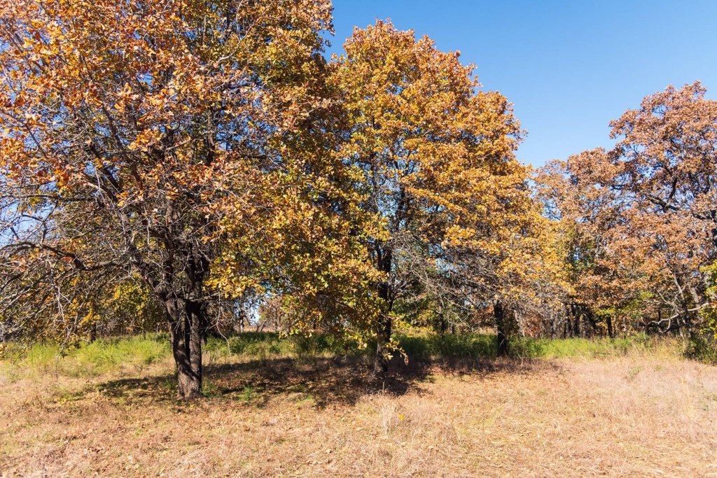
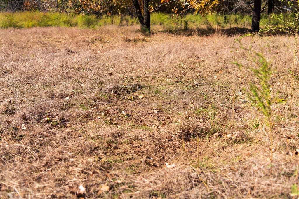
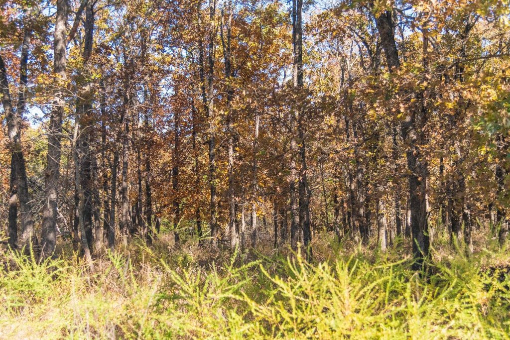
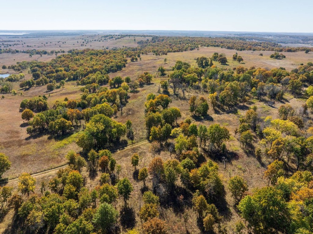
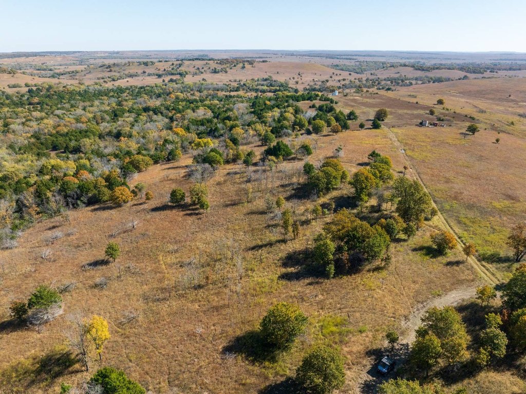
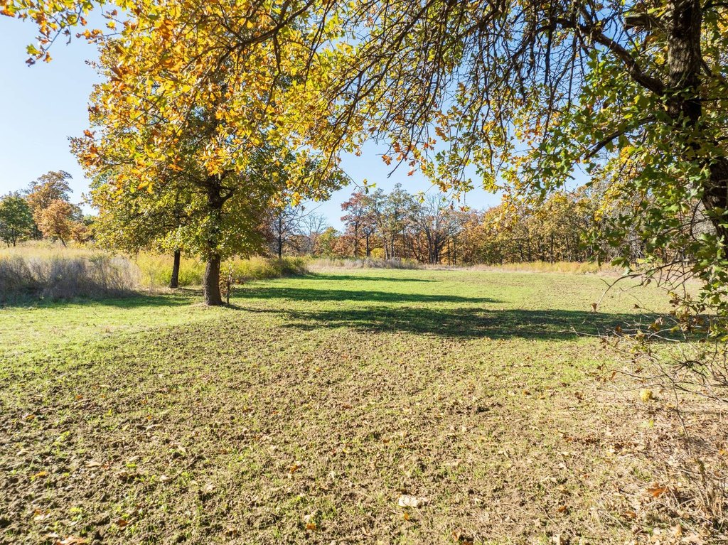
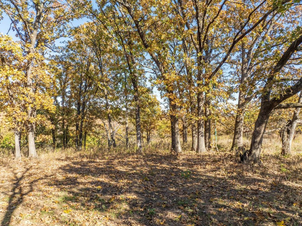
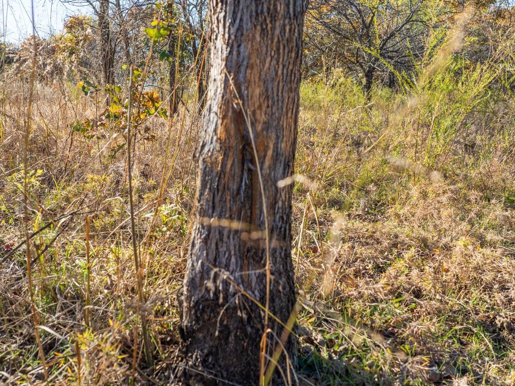
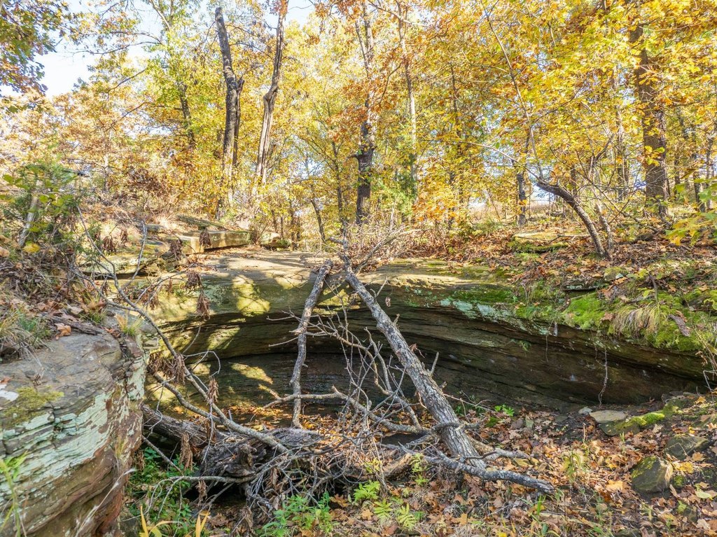
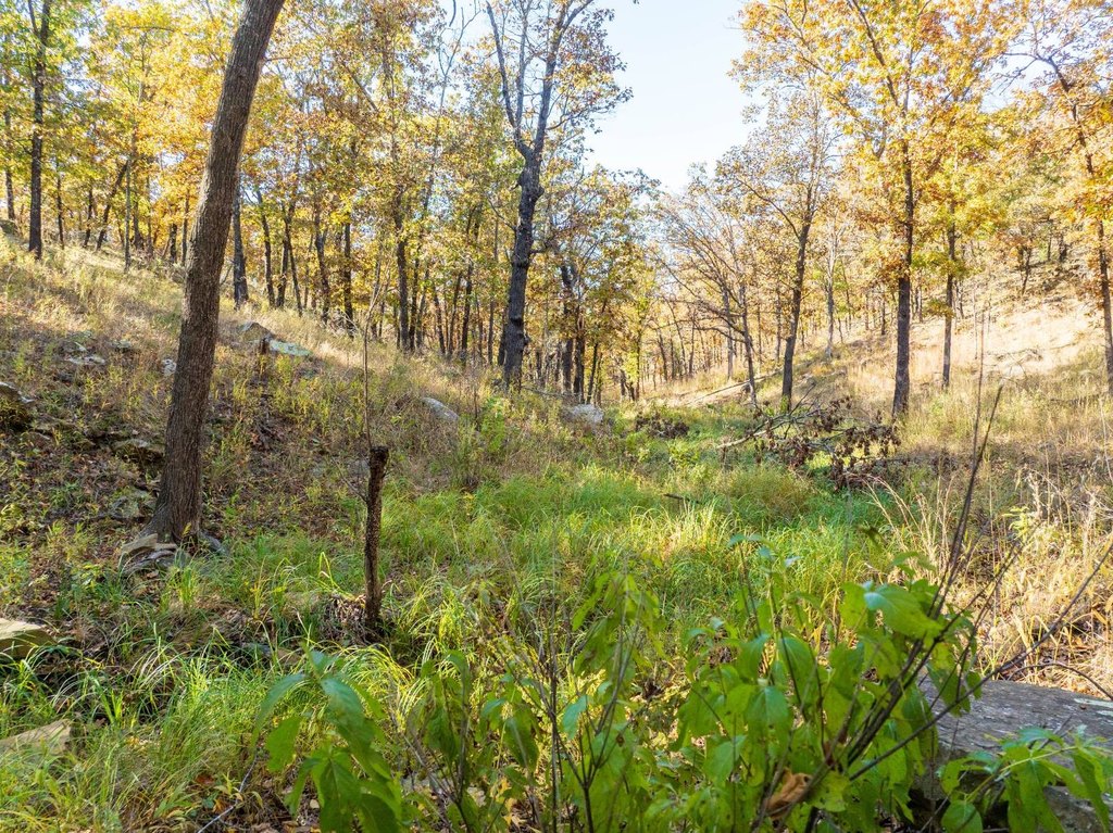
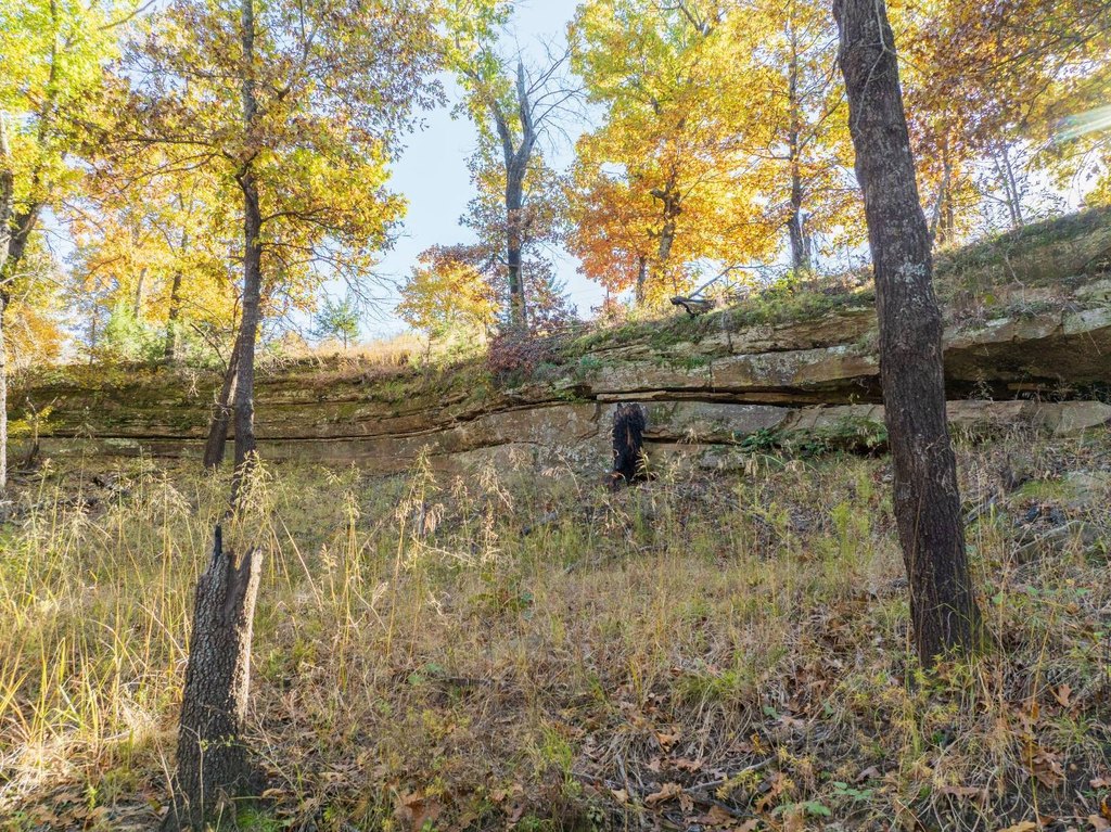
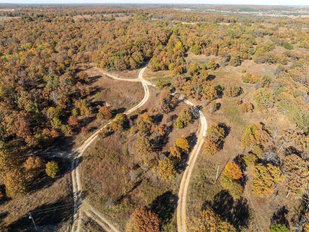
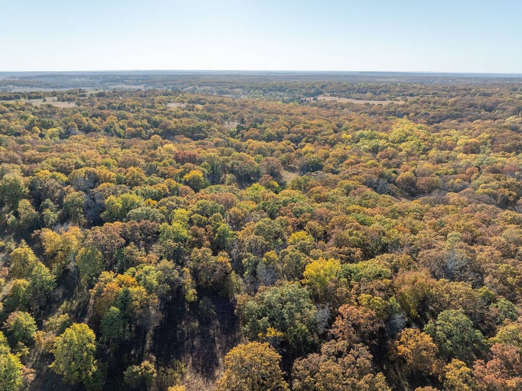
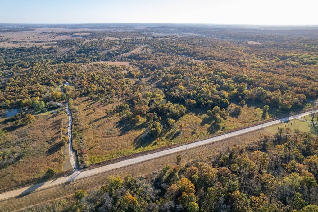
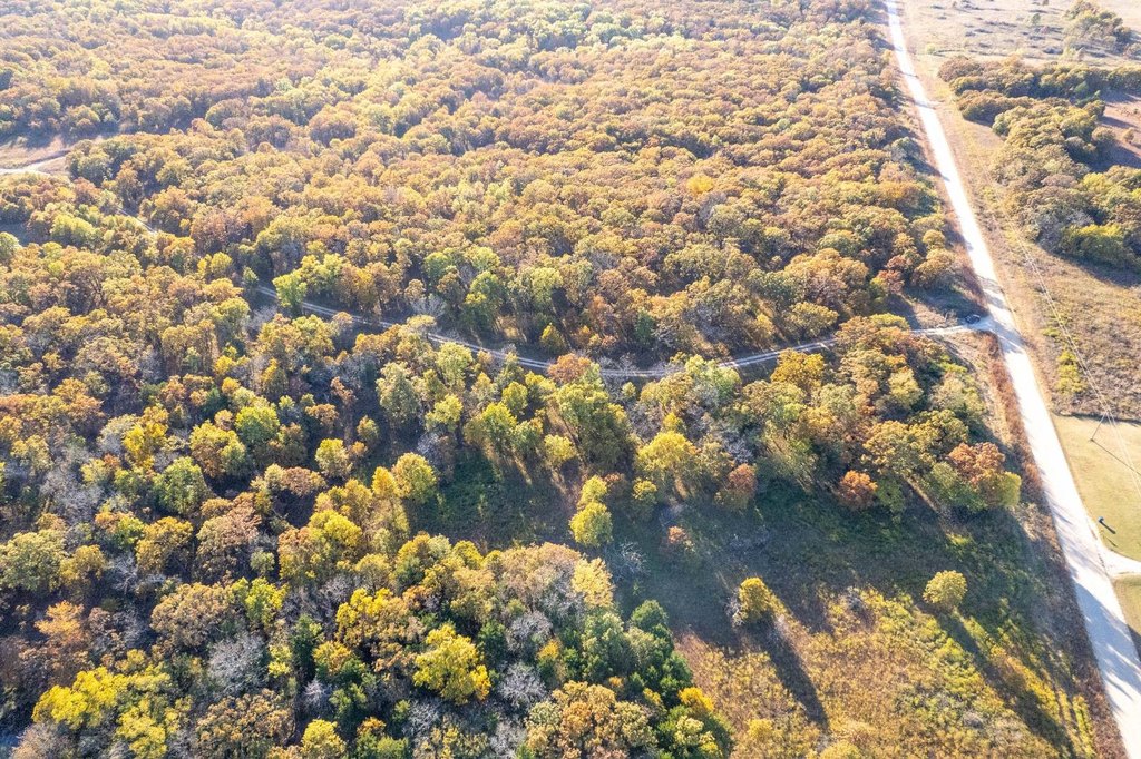
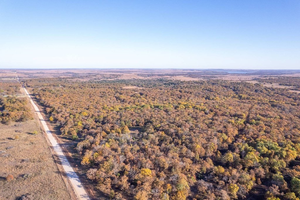
The land lies along the Kansas-Oklahoma border near Peru, Kansas, with creeks, ravines, and sandstone outcroppings creating both scenic terrain and cover for wildlife. Rolling native grasslands and post-oak timber transition into rugged draws, supported by established food plots, feeders, and three hunting blinds, including one built from reclaimed redwood decking. Multiple internal roadways provide access to different areas of the ranch, and there are two ponds that enhance wildlife habitat.
For operators or hunters looking for a turnkey-style setup, the property is already arranged for frequent use with maintained feeders, food plots, and blinds. A long-standing summer cattle lease is in place, and the current tenant is described as dependable and recommended to continue. Seller interest in mineral rights will transfer, with roughly 60 acres including minerals and the remainder excluded, to be confirmed through title research.
Current Use by Public Records
Map
- City
- Peru
- County
- Chautauqua
- State
- Kansas
- Longitude
- -96.13858
- Latitude
- 37.00528