Broken Arrow lot 50, Hayesville, NC 28904

- Added:
- May 27, 2026
- Days on Market:
- 39
- Last Refresh:
- Jul 4 at 11:06 am
Property Features for Broken Arrow lot 50
General Information
- Property type
- Land
- Property subtype
- Other
- Standard status
- Active
- Lot size
- 6.05 Acres
Utilities
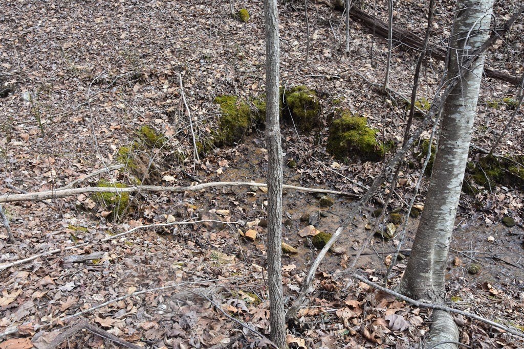
- Water source
- Public
Listing agent Gary Ward License #187505 (828) 508-0803
Listing office Advantage Chatuge Realty 401 NC 69 P.O. Box 1400, Hayesville, NC (828) 508-0803
Listing date May 27, 2026
Copyright © 2026 Northeast Georgia Board of Realtors. All rights reserved. All information provided by the listing agent/broker is deemed reliable but is not guaranteed and should be independently verified.
HighLights
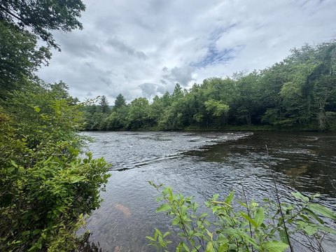
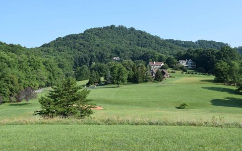
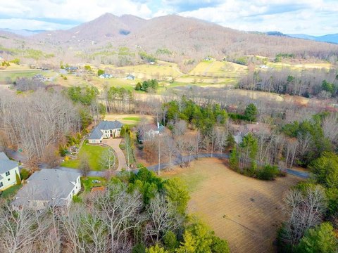
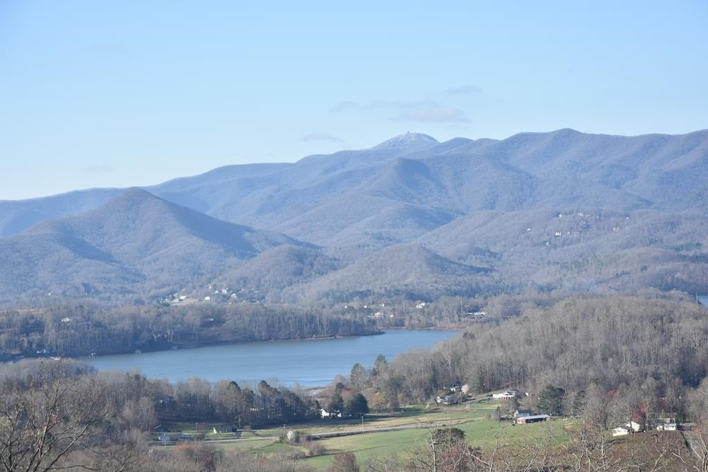
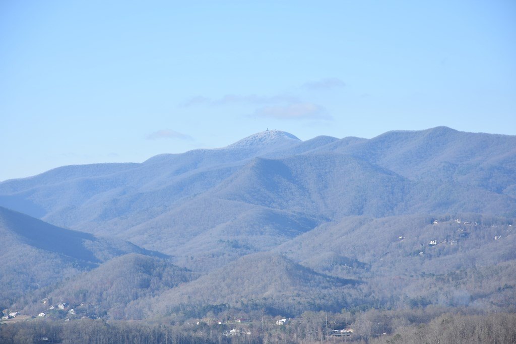
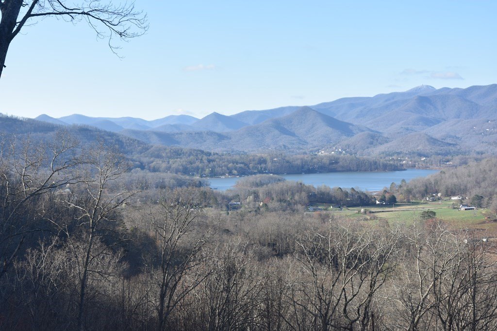
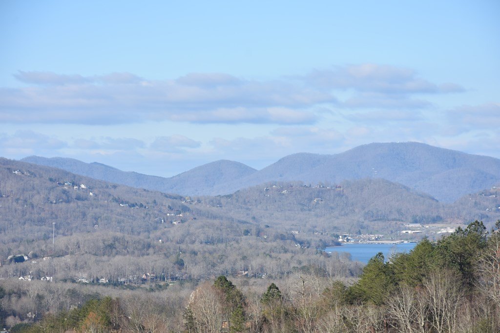
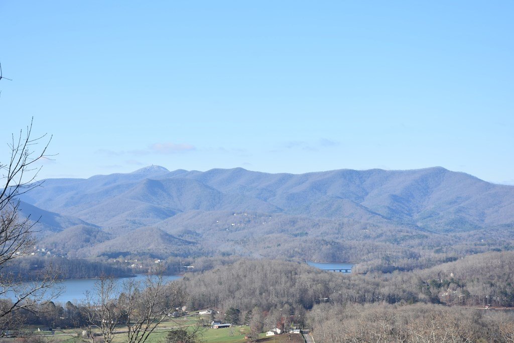
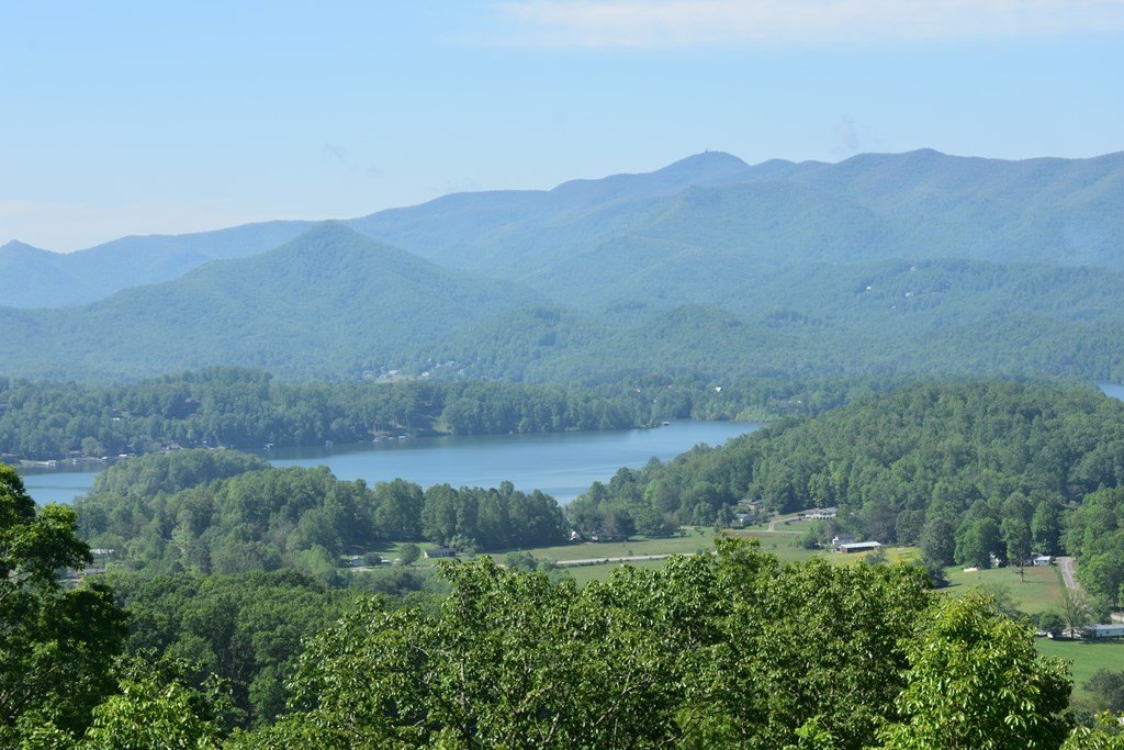
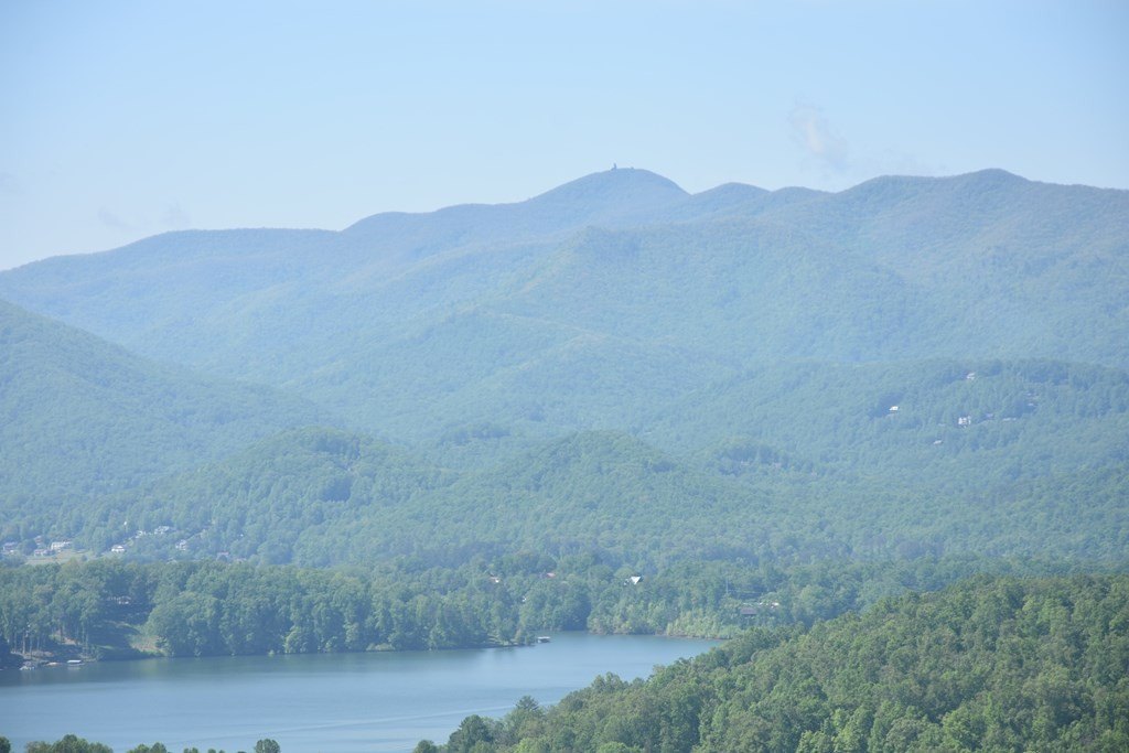
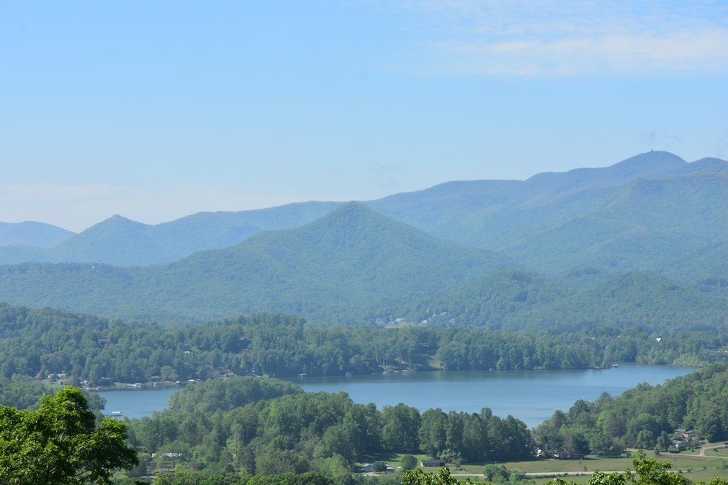
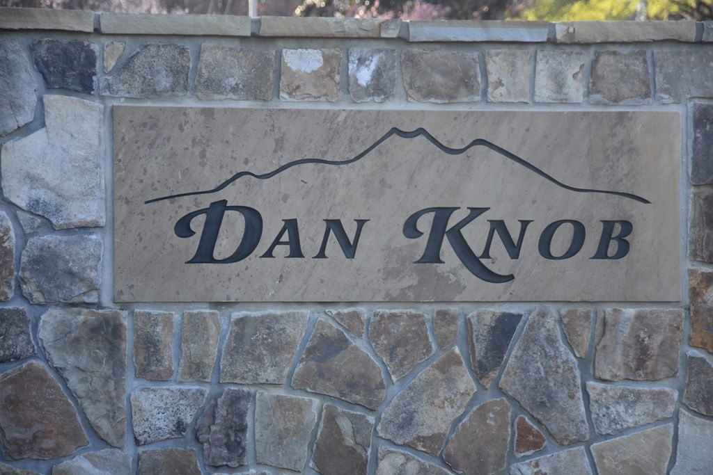
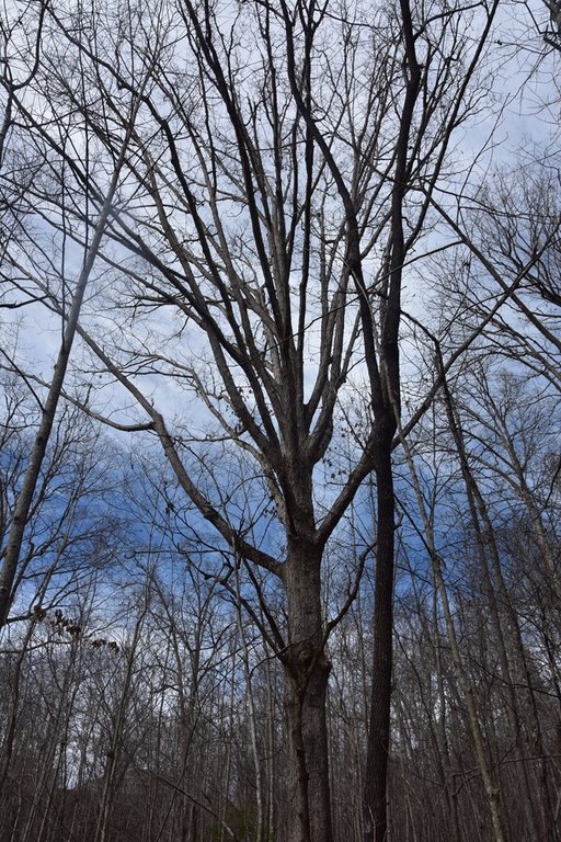
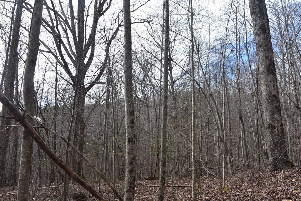
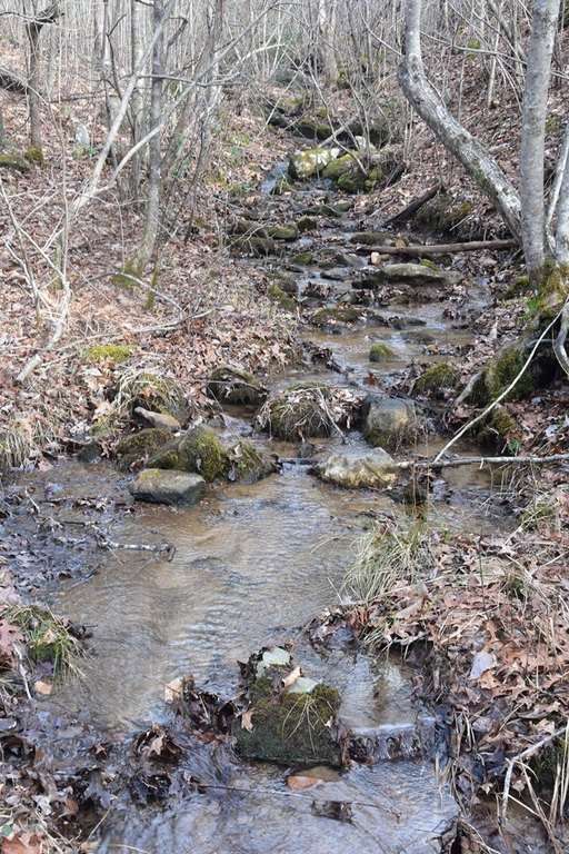
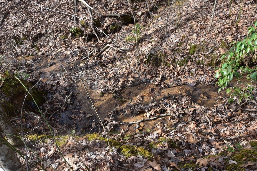
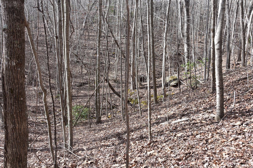
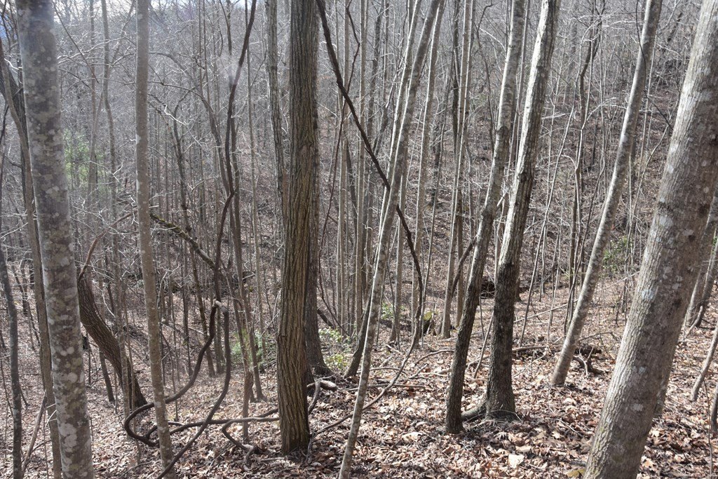
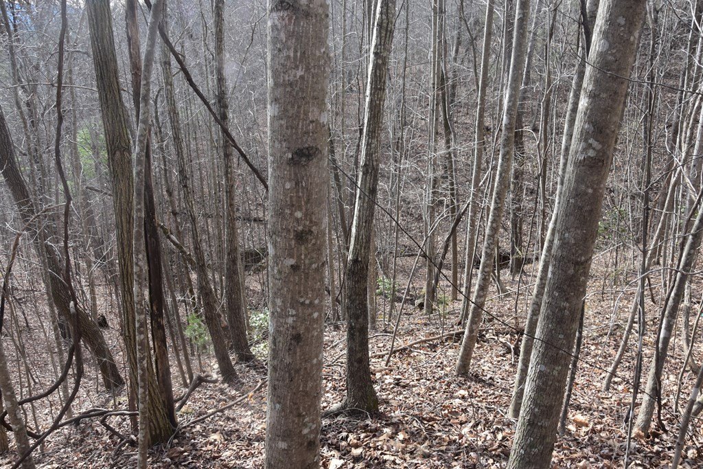
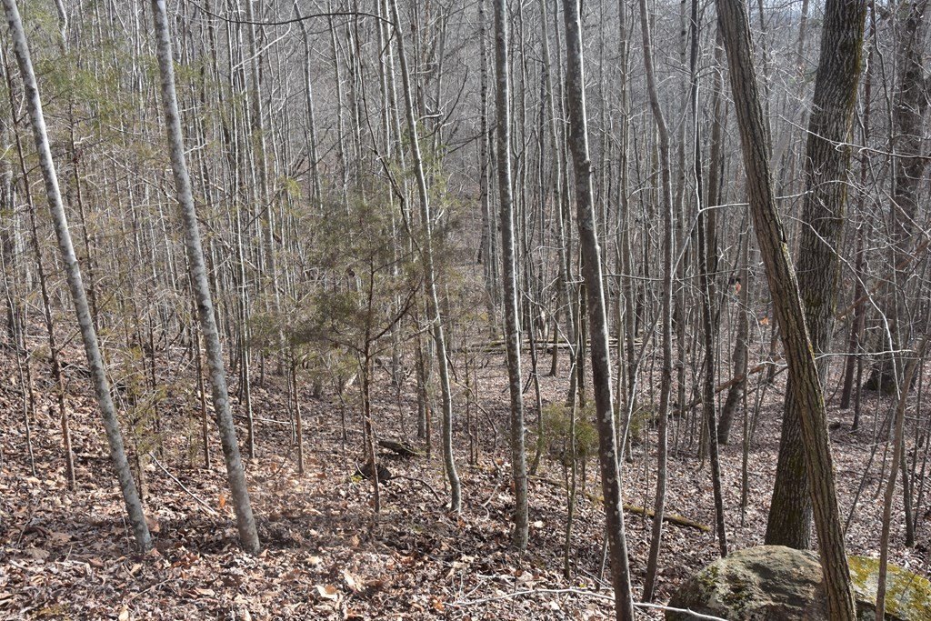
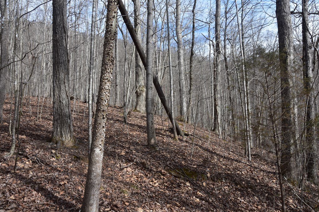
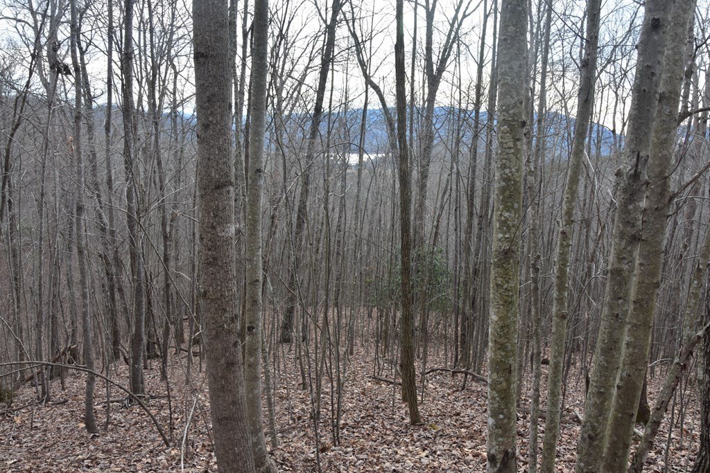
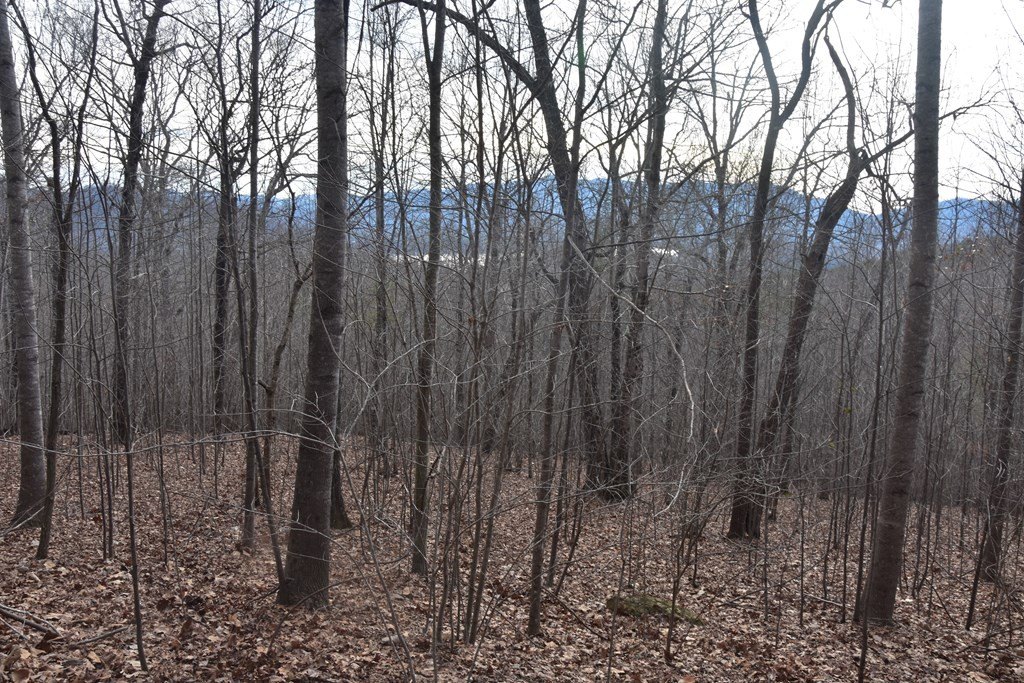
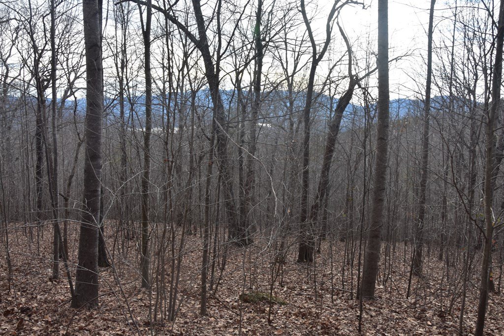
- 6.05‑acre estate‑size parcel with gentle rolling terrain in the Dan Knob Development
- Public water available via the Towns County water department
- Building envelope with easy access from a paved road and underground utilities
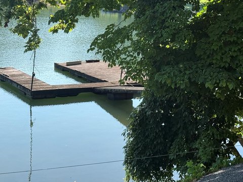
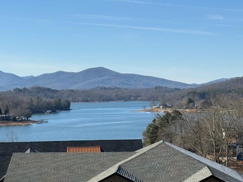
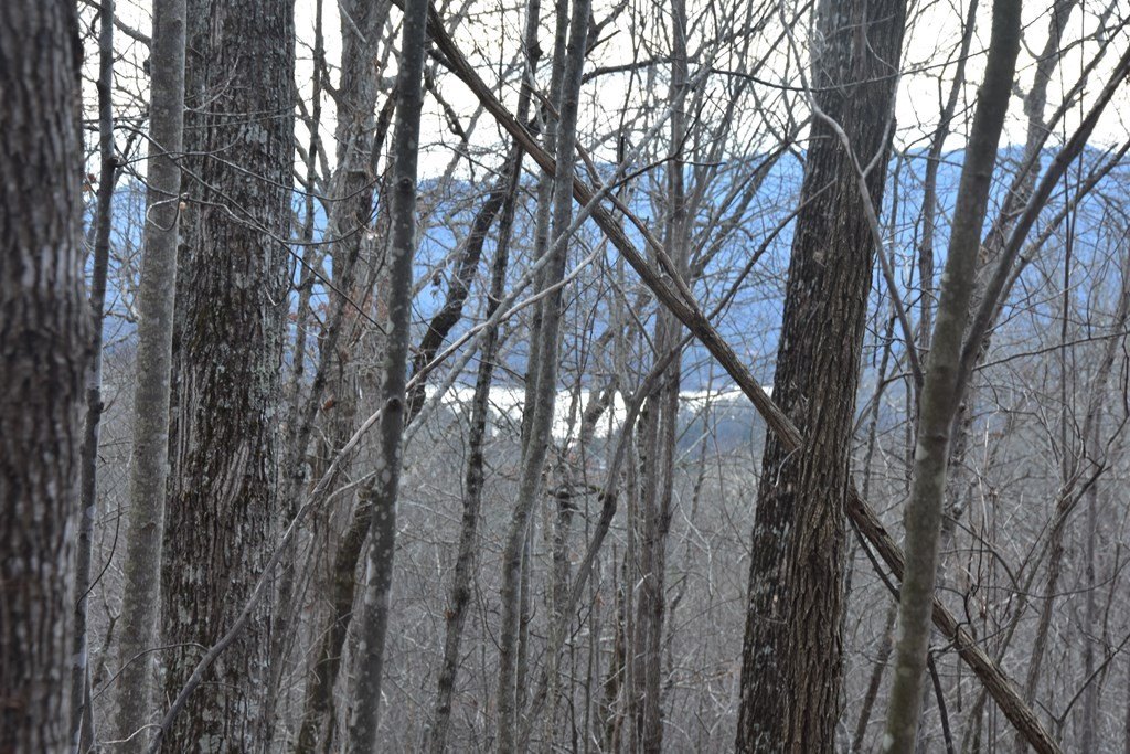
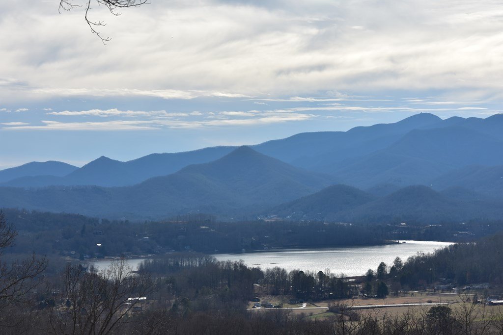
- Lake Chatuge and Blue Ridge Mountain views with 180‑degree SE/S/SW/W exposure
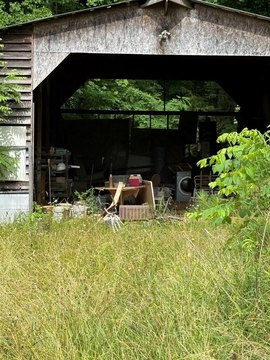
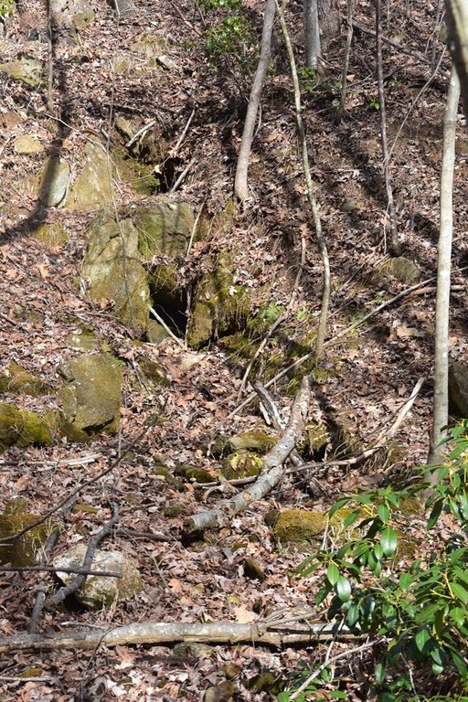
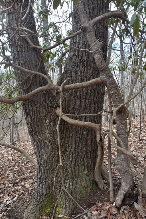
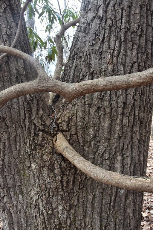
- Residential restricted acreage with large mature timber and boulder outcroppings
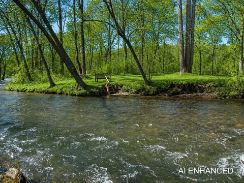
- Close to Lake Chatuge access and marina, plus nearby golf at Mountain Harbour, Brasstown Valley, and Chatuge Shores
Overview
The site is within the Dan Knob Development and is positioned to capture long-range mountain scenery, with views referenced from Bell Mountain toward Brasstown Bald and beyond, including visible outlooks toward the Nantahala and Chattahoochee National Forests. Water delivery is described as available through public service from the Towns County water department. The remarks also note proximity to Lake Chatuge lake access and marina options for boating and activities, and a nearby Jackrabbit recreational area.
For buyers looking to build on a residential-restricted homesite with utilities available at the property and a terrain package that supports outdoor living, this parcel combines buildable access with panoramic exposure and natural features. It may be a strong fit for those seeking a mountain-and-lake view property while keeping development within a defined residential setting.
Current Use by Public Records
Map
- City
- Hayesville
- County
- Clay
- State
- North Carolina
- Longitude
- -83.74431108
- Latitude
- 34.99033072