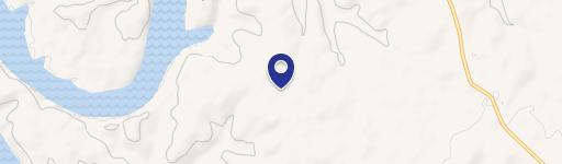
Barton Road, Cedarcreek, MO 65627
- Added:
- Feb 24, 2025
- Days on Market:
- 478
- Last Refresh:
- Jun 17 at 6:06 am
Property Features for Barton Road
General Information
- Property type
- Land
- Property subtype
- Other
- Standard status
- Active
- APN
- 23-3.0-06-004-001-001.003
- Lot size
- 10.37 Acres
Taxes and HOA fees
- Tax Year
- 2024
Listing agent Clay O'Dell License #2021026727 (417) 414-1808
Listing office Midwest Land Group 14105 Overbrook Rd. Ste. D, MO (913) 674-8010
Listing date Feb 24, 2025
Copyright © 2026 Southern Missouri Regional MLS, LLC (SOMO). All rights reserved. All information provided by the listing agent/broker is deemed reliable but is not guaranteed and should be independently verified.
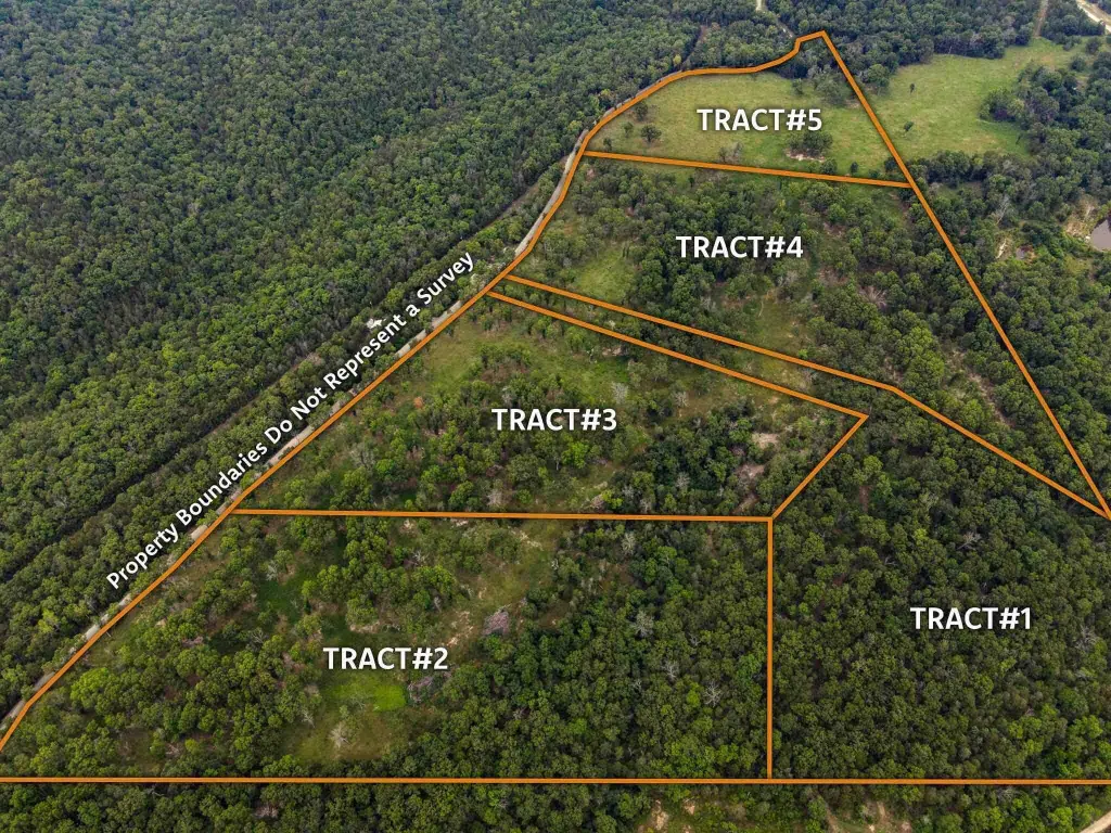
HighLights
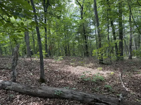
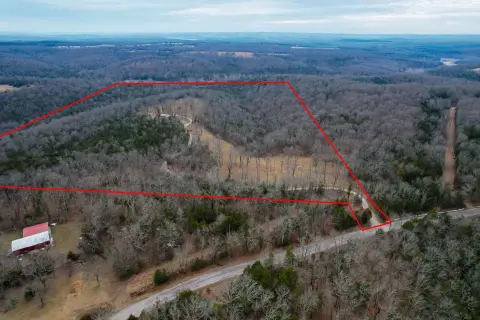
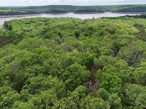
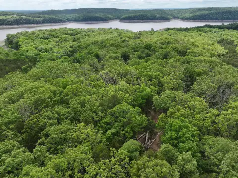
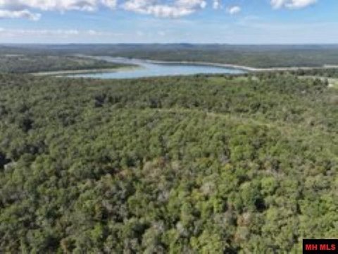
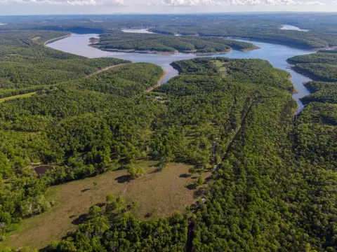
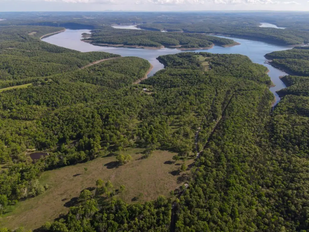
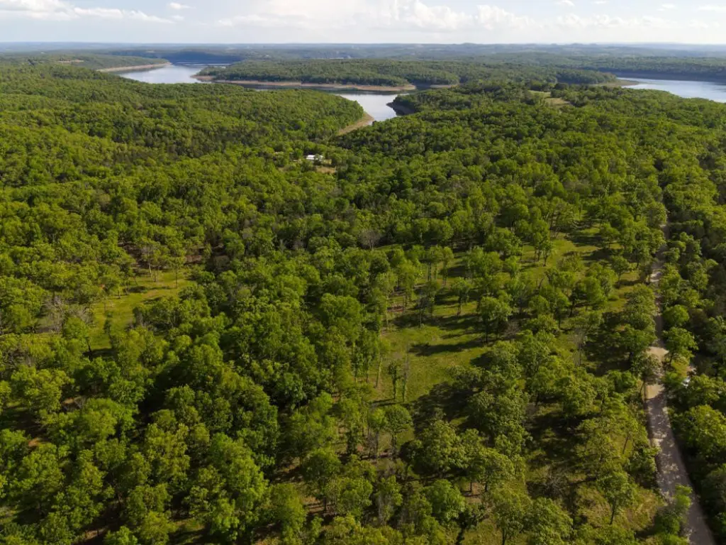
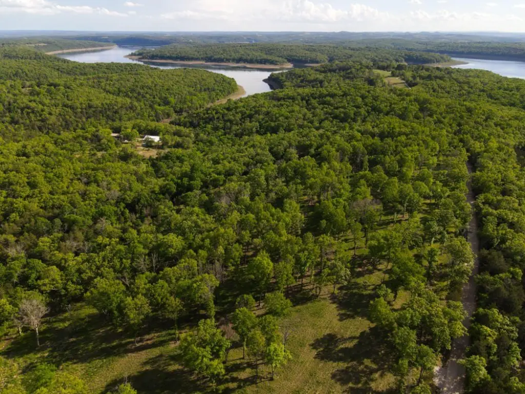
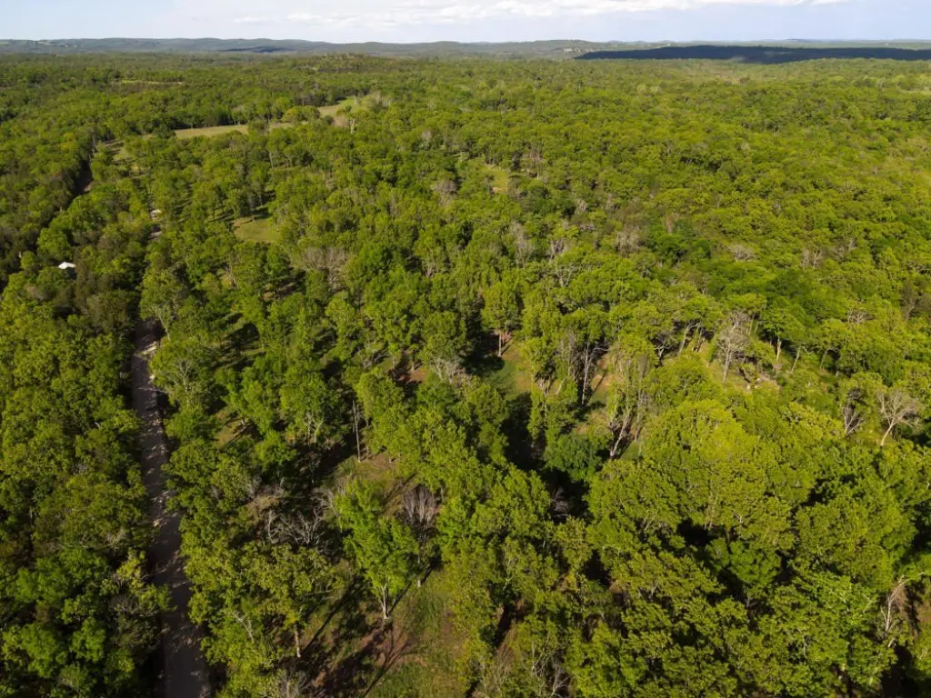
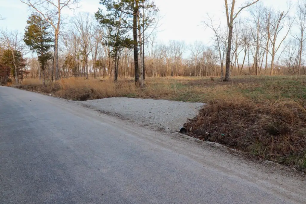
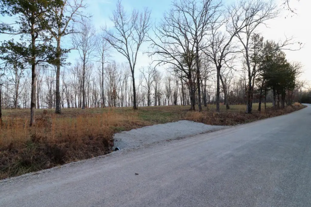
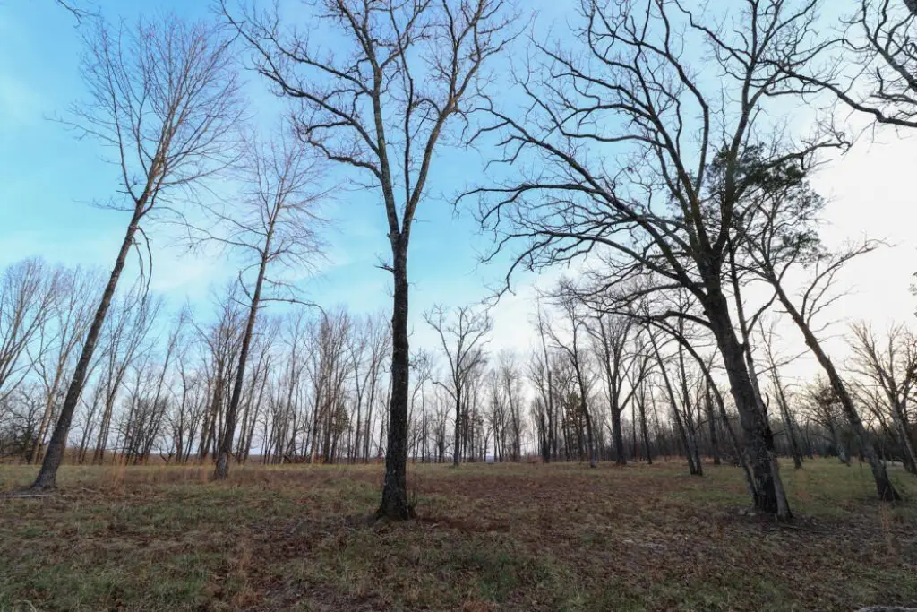
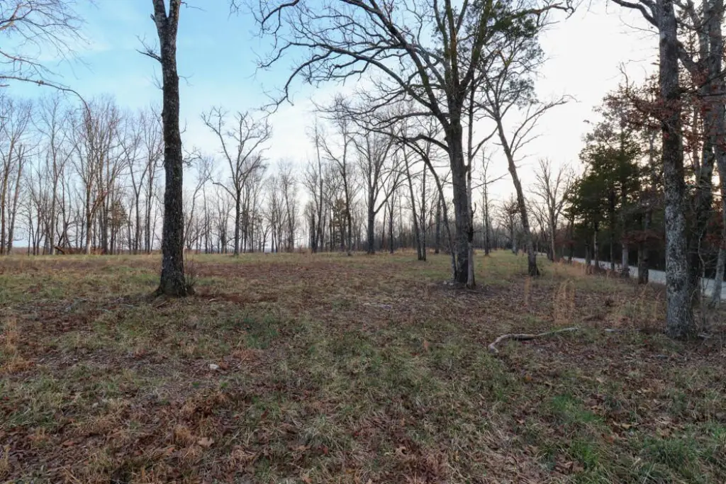
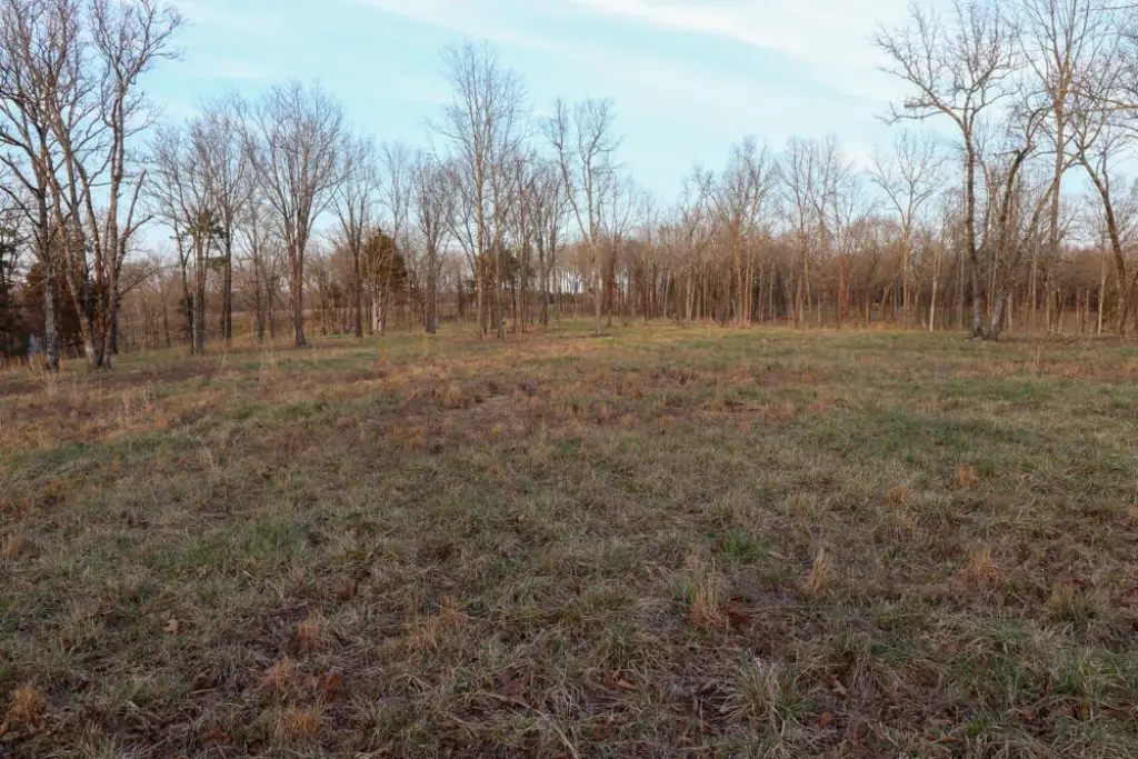
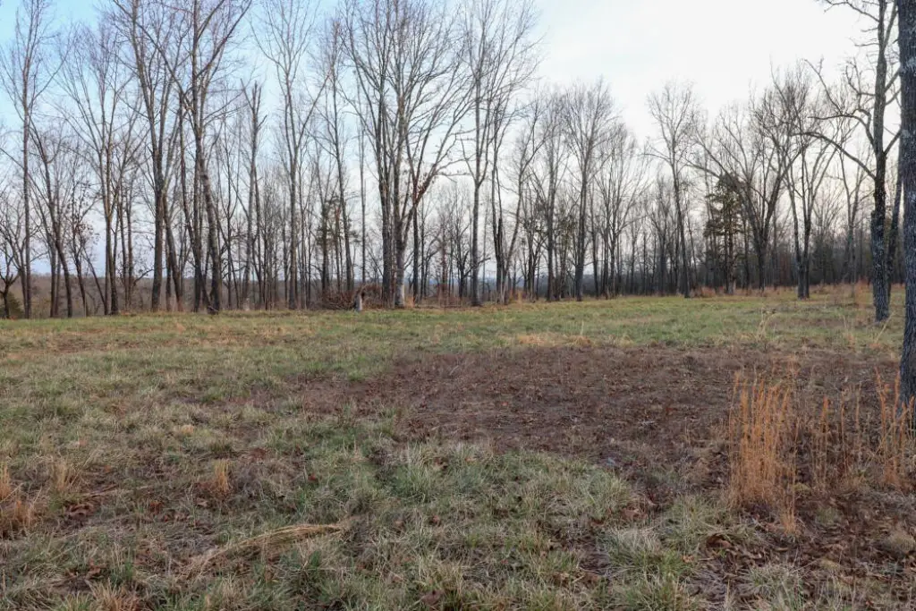
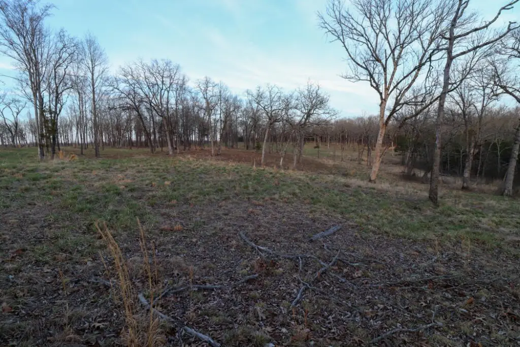
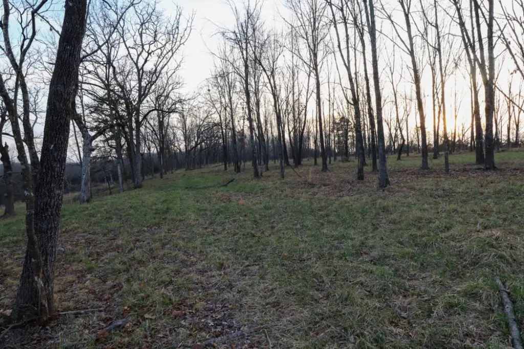
- 10.37 +/− acre tract with a mix of open pasture ground and scattered timber
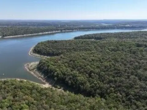
- Paved road frontage off Barton Road, with the road dead‑ending at the lake (.75 miles from the property)
- Recently surveyed tract with electric access
- Near public lake access for launching a boat or kayak and fishing from the bank
- Second lake access and boat launch southeast of the property at the end of State Highway OO
- Taney County area near Mark Twain National Forest and US Army Corps of Engineers land open to public recreation
Overview
The tract is located off Barton Road in Cedarcreek, Missouri. Barton Road dead-ends at the lake approximately 0.75 miles from the property, where a public access point allows for launching a boat or kayak and fishing from the bank. A second lake access and boat launch is described as being southeast of the property at the end of State Highway OO.
For buyers seeking a weekend basecamp or a property that supports both development and recreation, this land configuration can support a range of plans around the surrounding lake access. The nearby area also includes Mark Twain National Forest and US Army Corps of Engineers land described as open to public hunting, hiking, and other recreational uses, aligning with an outdoor-focused buyer’s needs.
Current Use by Public Records
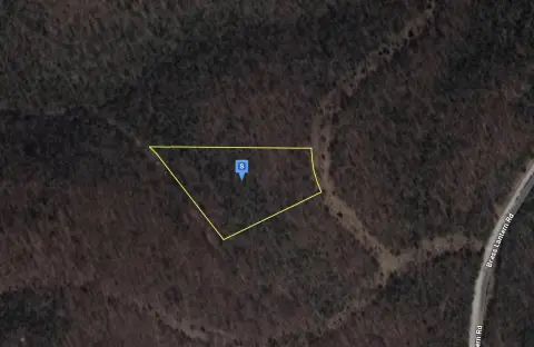
Map
- City
- Cedarcreek
- County
- Taney
- State
- Missouri
- Longitude
- -92.972839
- Latitude
- 36.533215