Waterfront Land with Lake
For Sale
$719,000
Laurel Rd, Bandon, OR 97411
Land, Bandon, OR
Property SizeContact for details
Lot Size55.58 Acres
Days on Market352
Property Features for Laurel Rd
General Information
Property type
Land
Property subtype
Other
Zoning
RR-5, F
View
Lake
Elementary school
Ocean Crest
Middle school
Harbor Lights
High school
Bandon
Directions
HWY 101, West On Lower Fourmile, Right on Laurel, Gate on right side before left turn.
Subdivision
_260
Standard status
Active
APN
1244600
Lot size
55.58 Acres
Taxes and HOA fees
Tax Description
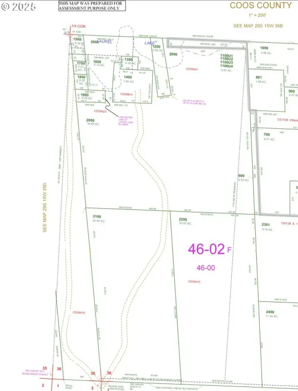
29S1536-C0-02000, 29S1536-C0-02100, 29S1536-C0-00800
Tax Annual Amount
946
Legal Description
29S1536-C0-02000, 29S1536-C0-02100, 29S1536-C0-00800
Utilities
Water front features
Lake, Creek
Water front
1
Listing Agency:
Pacific Coast Real Estate & Development, LLC
(541) 808-3297
Listed By:
Sadena Abell · License #200201254
(541) 404-8388
Added: Oct 18, 2025
Changed: Oct 3
Last Checked: Oct 4 at 11:06PM
MLS# 681505819
Copyright © 2026 Regional Multiple Listing Services. All rights reserved. All information provided by the listing agent/broker is deemed reliable but is not guaranteed and should be independently verified.
Investment Insights
Based on property information with market context.
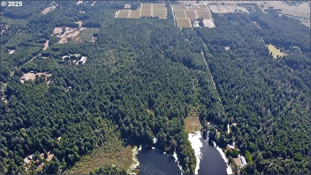
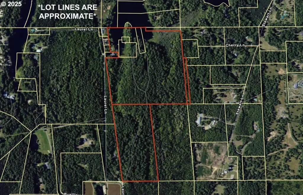
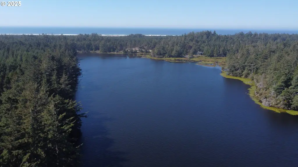
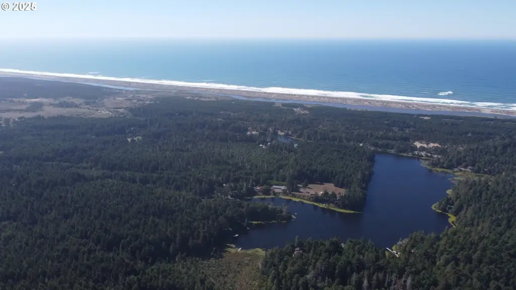
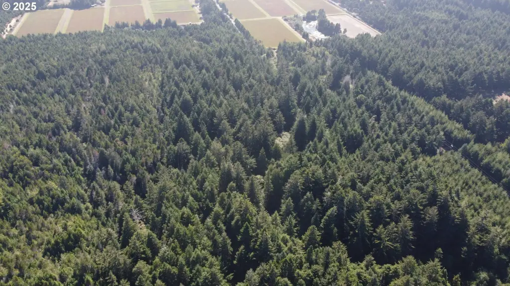
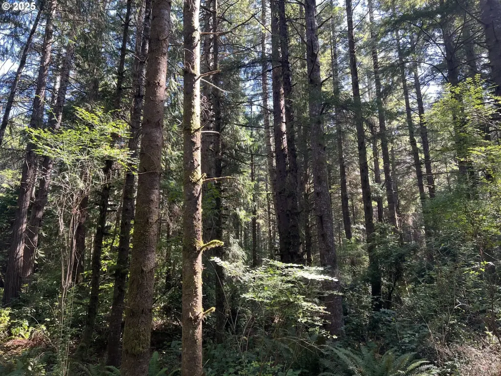
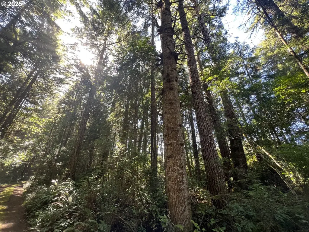
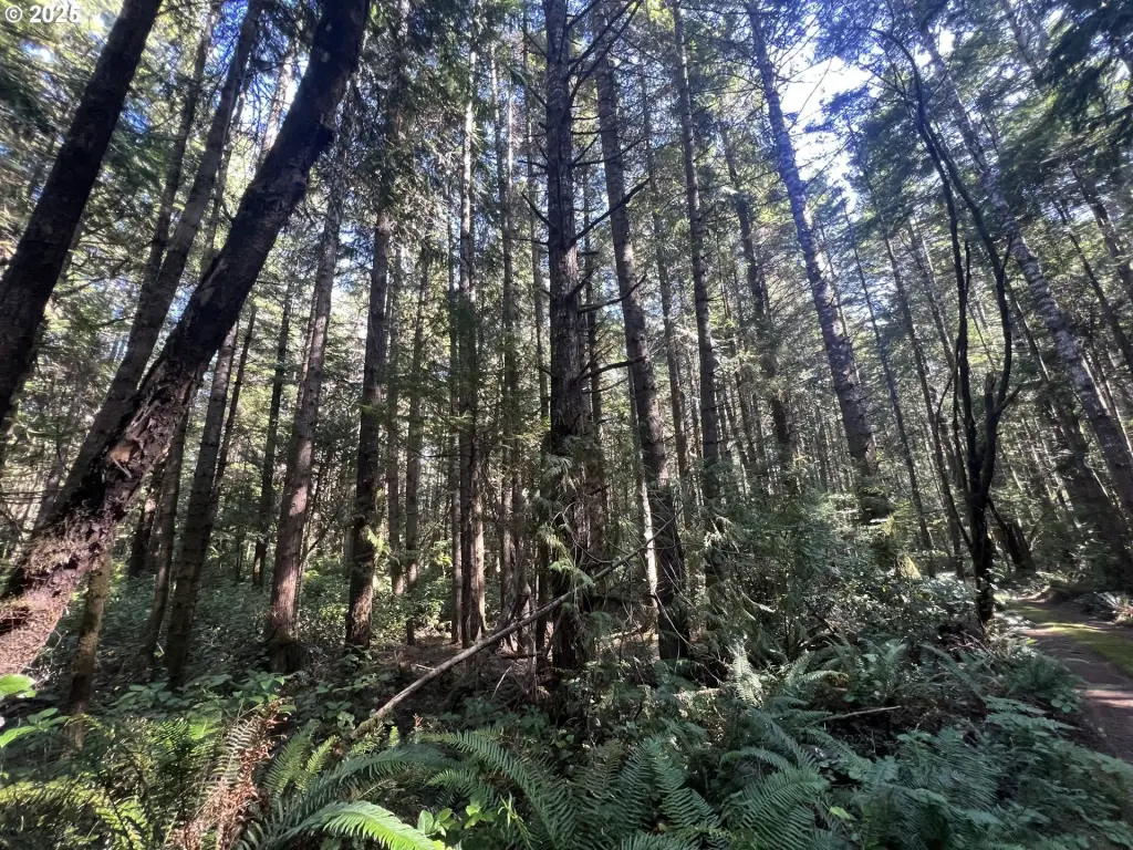
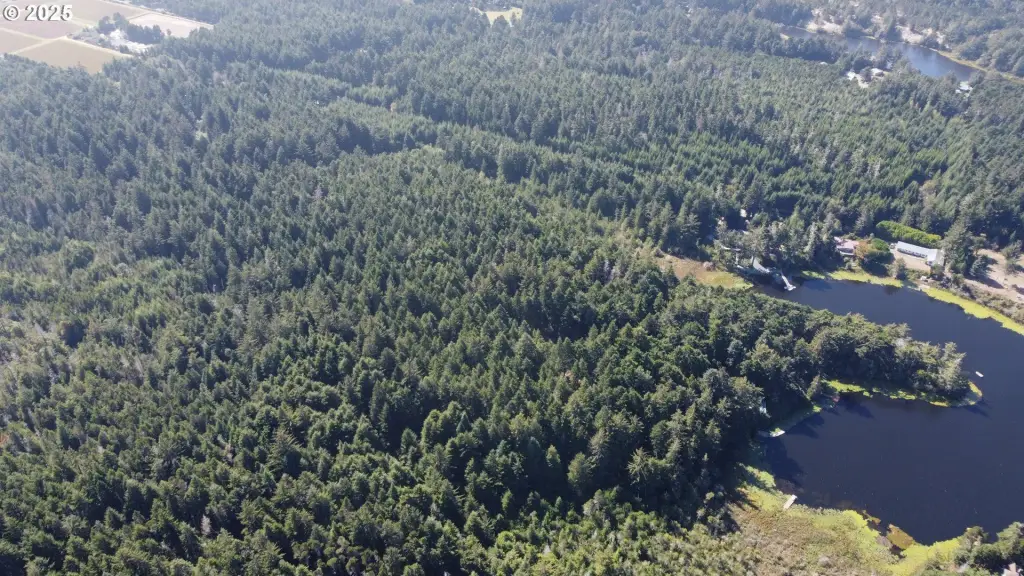
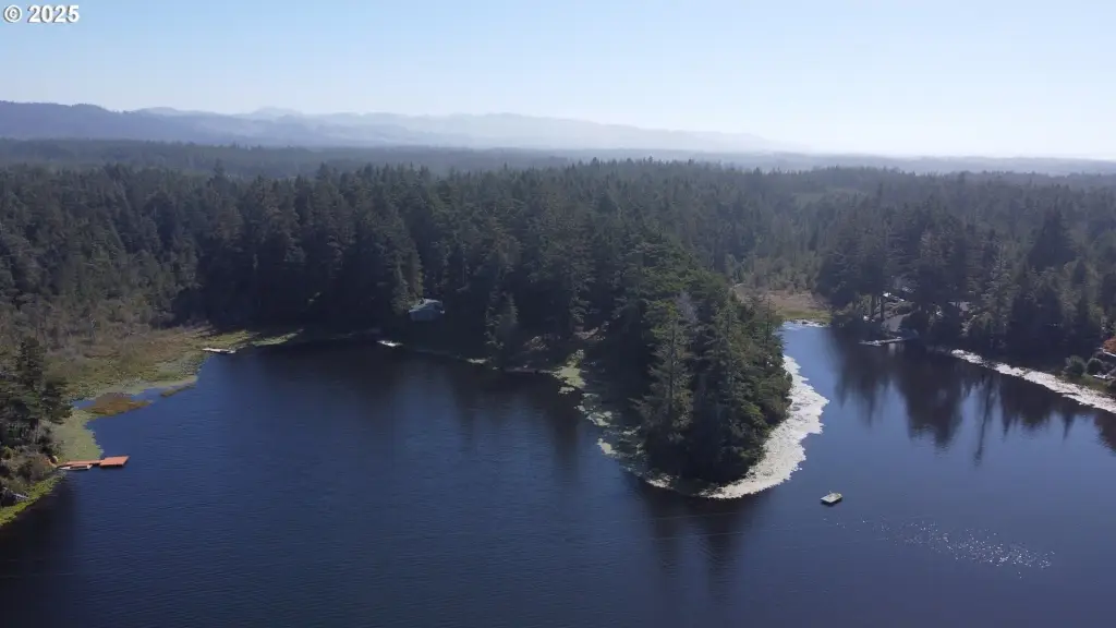
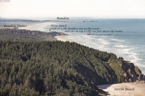
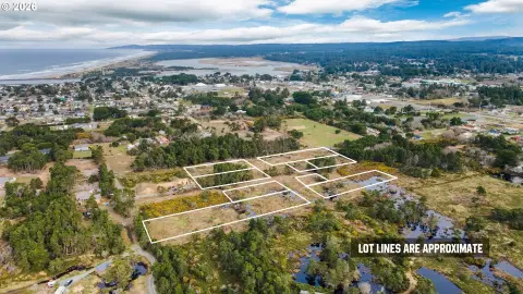
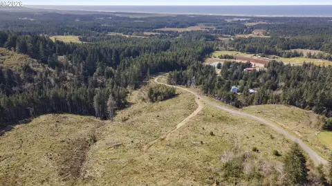
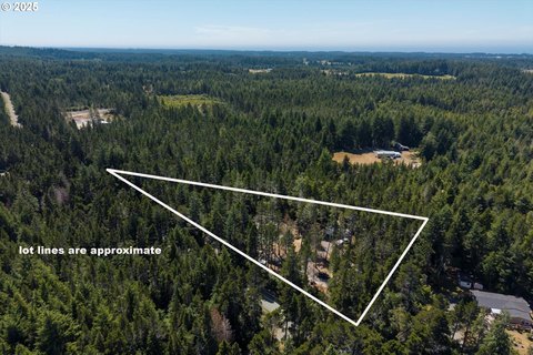
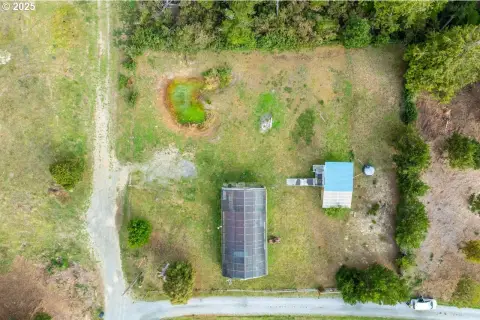
This waterfront land offering totals 55.58 acres of timberland across three tax lots near Laurel Lake. The property includes a 34.66-acre lot and a 0.92-acre lot zoned RR-5, plus a 20-acre lot zoned Forest. The lake access and creek frontage create an outdoor-oriented setting for development planning, subject to required approvals.
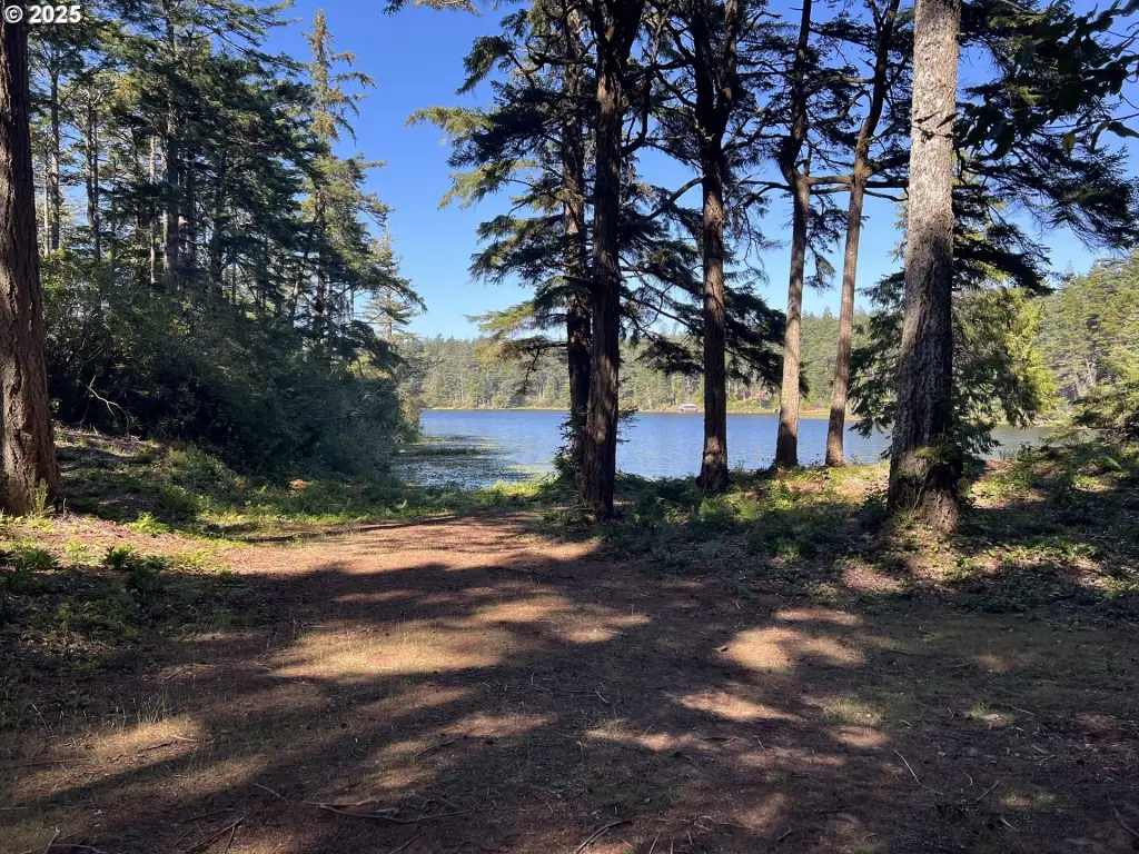
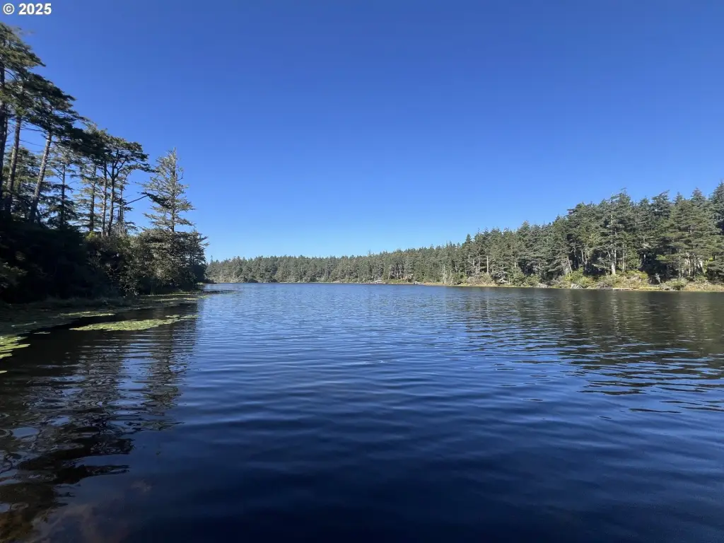
Public remarks describe a possibility for shared lake access and a boat launch, along with potential for subdividing and/or adding an additional home site with a conditional land use permit. The property is shown by appointment only with a locked gate, and buyers should complete their own due diligence regarding permits and land use.
Water access is supported by the property’s creek and lake features, and the area includes nearby recreation such as Fourmile Creek Trailhead and New River access for kayaking.
Public remarks describe a possibility for shared lake access and a boat launch, along with potential for subdividing and/or adding an additional home site with a conditional land use permit. The property is shown by appointment only with a locked gate, and buyers should complete their own due diligence regarding permits and land use.
Water access is supported by the property’s creek and lake features, and the area includes nearby recreation such as Fourmile Creek Trailhead and New River access for kayaking.
Key Highlights
- Totaling 55.58 acres of timberland across three tax lots
- 34.66‑acre lot zoned RR‑5 and 0.92‑acre lot zoned RR‑5
- 20 acres zoned Forest with potential additional home site via conditional land use permit
Property Analytics
Unlock full access to Insights
Subscribe to Realmo Intelligence
Open Analytics
Current Use
Location Intelligence
Trade Area within ½ mile
6
Businesses Nearby
Explore this area
Business Placement
Demographics for 97411, OR
7,572
Population
4,396
Households
1.7
Avg Household Size
59
Median Age
27%
College-Educated
95%
High-School Grad
128.6 sq mi
ZIP Area
59
Density / Sq Mi
$48,476
Median Household Income
$27,375
Median Earnings
$920
Median Rent
$425,800
Median Home Value
Check the figures for this property
Cap Rate, Value Estimation, Potential NOI and more
View Realmo Analytics

Questions? Ask Rey
Realmo’s AI knows this listing — price, zoning, demand, history. Ask anything.



Frequently Asked Questions
What type of property is this?
Waterfront Land - 55.58 acres of timberland with creek and lake access across three tax lots, including RR-5 and Forest zoning.
Where is this waterfront land located?
The property is located at Laurel Rd Bandon, OR.
What is the asking price?
The asking price for this property is $719,000.
What are key features of this property?
This property features: Totaling 55.58 acres of timberland across three tax lots; 34.66‑acre lot zoned RR‑5 and 0.92‑acre lot zoned RR‑5; 20 acres zoned Forest with potential additional home site via conditional land use permit


