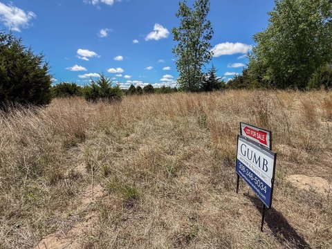
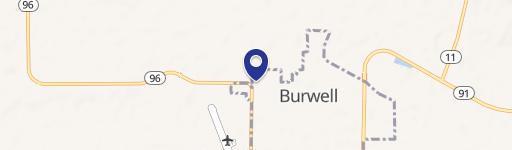
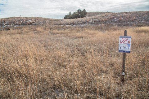
Audubon Lane lot 8, Burwell, NE 68823
- Added:
- Apr 1, 2026
- Days on Market:
- 95
- Last Refresh:
- Jul 4 at 1:06 am
Property Features for Audubon Lane lot 8
General Information
- Property type
- Land
- Property subtype
- Other
- Standard status
- Active Under Contract
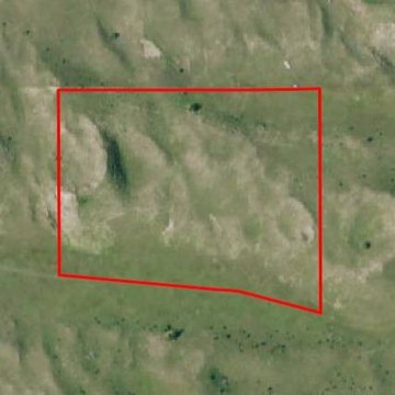
- Lot size
- 5.02 Acres
Taxes and HOA fees
- Tax Annual Amount
- 353

Listing agent Robert Osborne (308) 991-9544
Listing office American Legacy Land Company 17117 Burt St., Omaha, NE (308) 991-9544
Listing date Apr 1, 2026
Copyright © 2026 My State MLS. All rights reserved. All information provided by the listing agent/broker is deemed reliable but is not guaranteed and should be independently verified.
HighLights
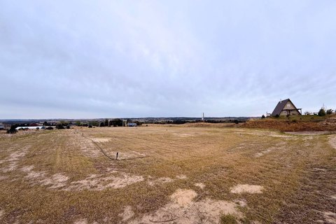
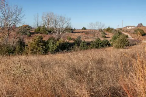
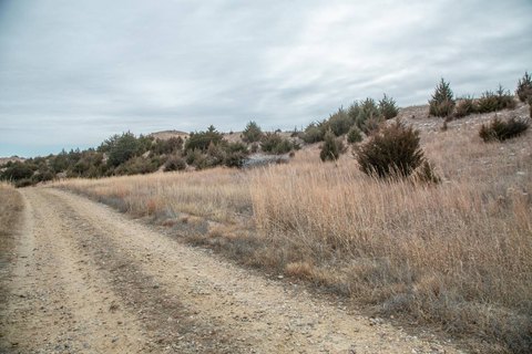
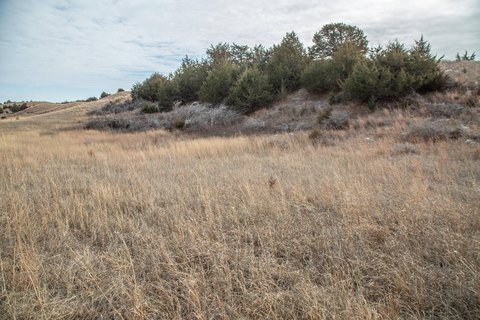
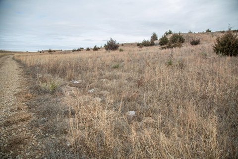
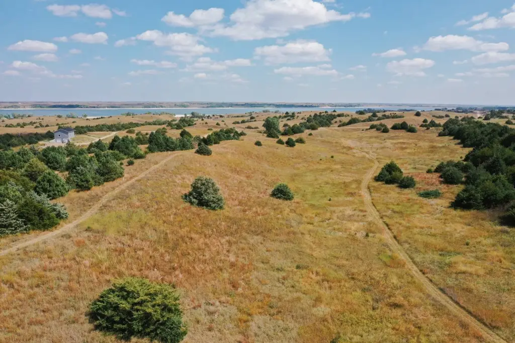
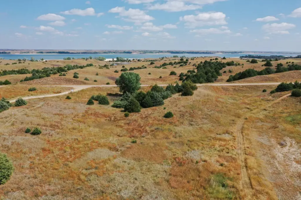
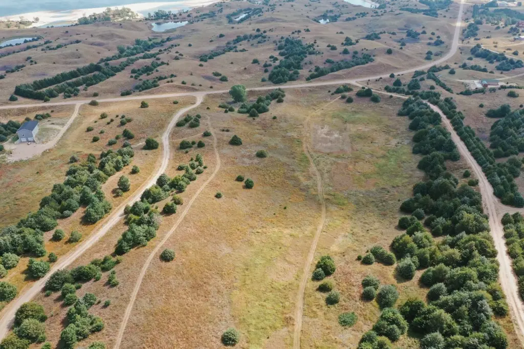
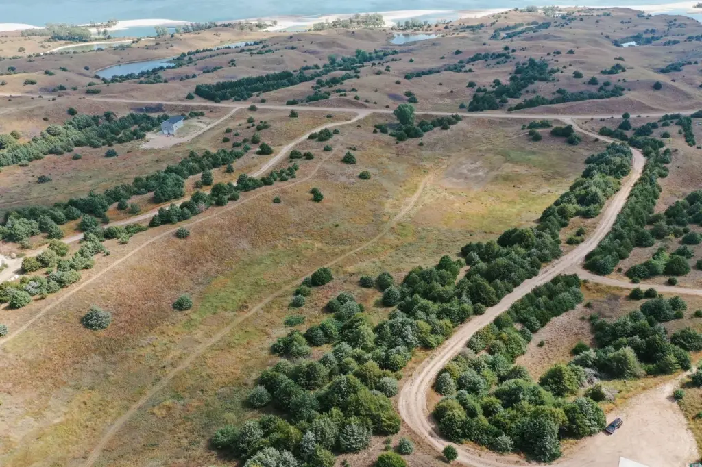
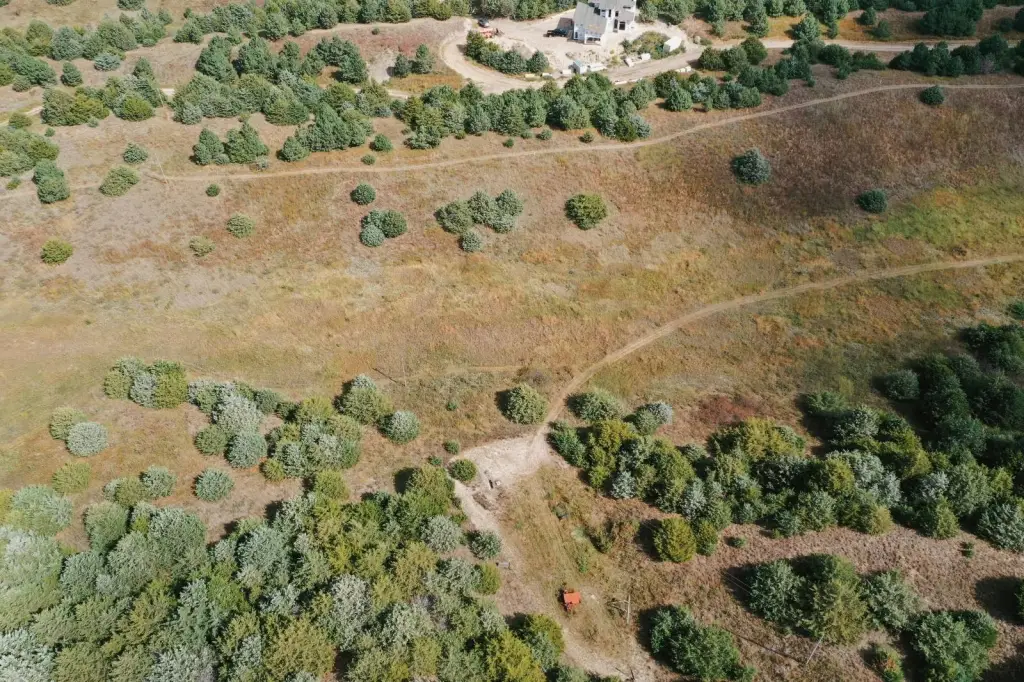
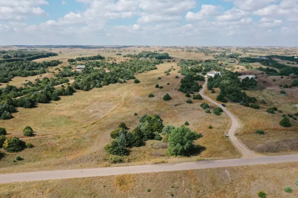
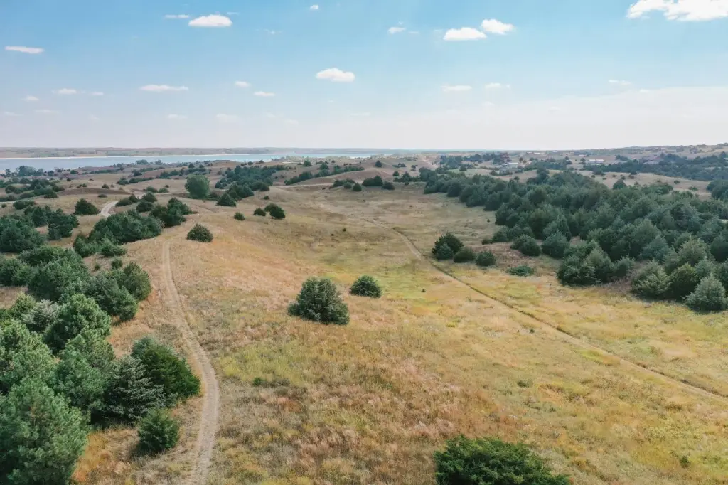
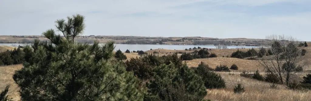
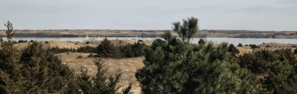
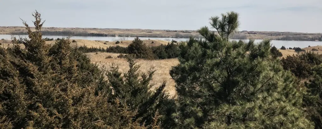
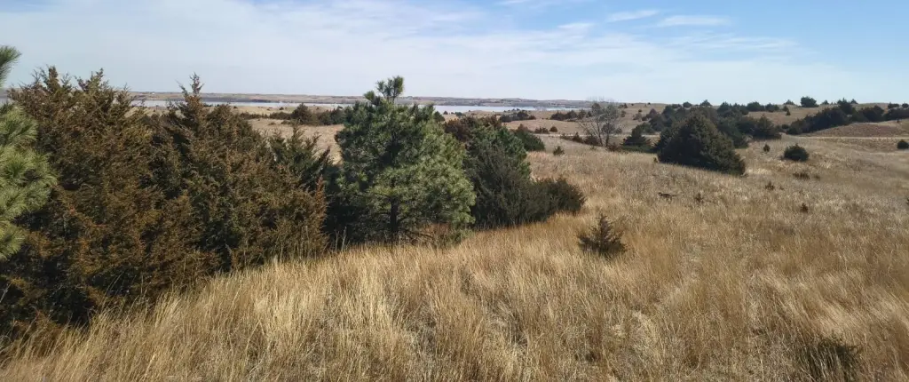
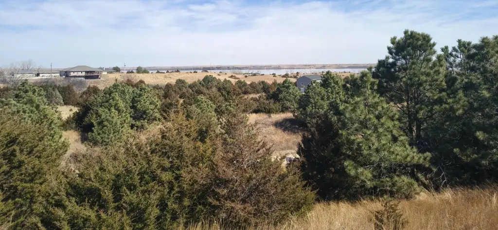
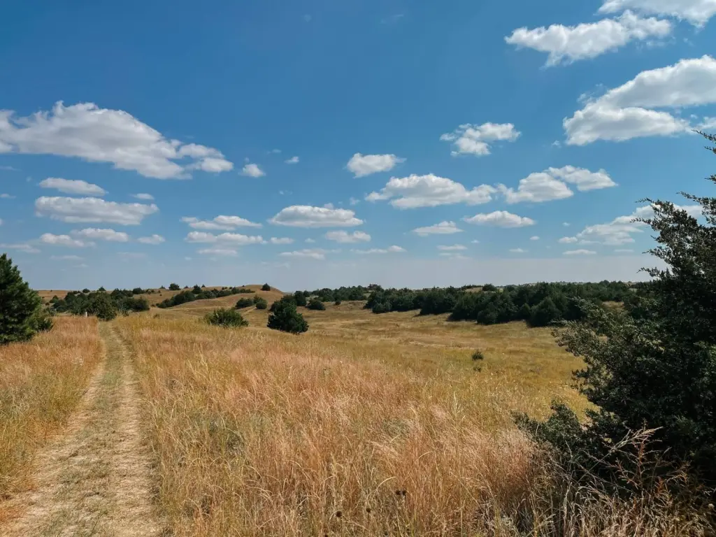
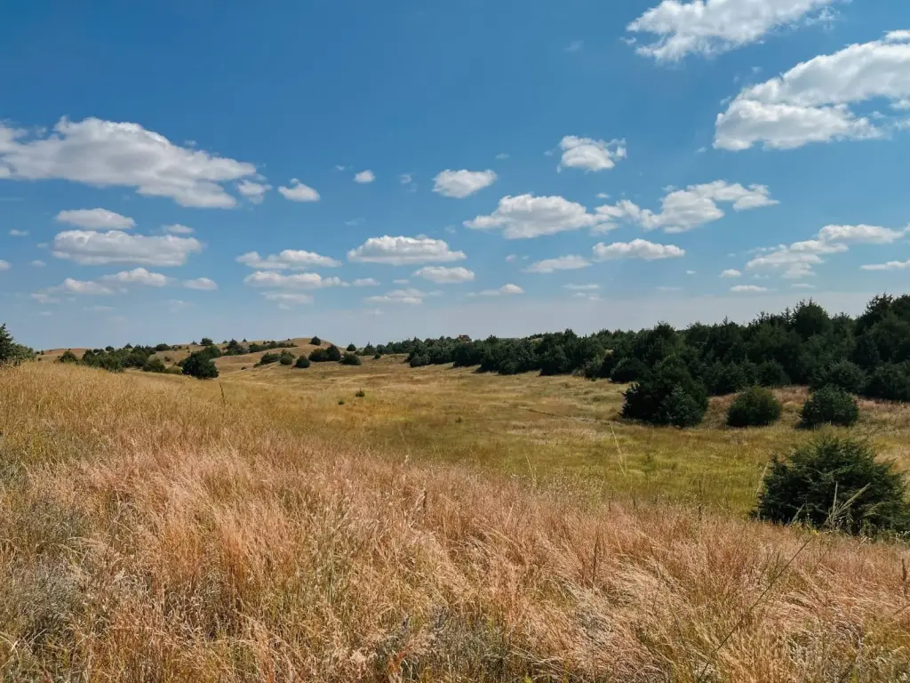
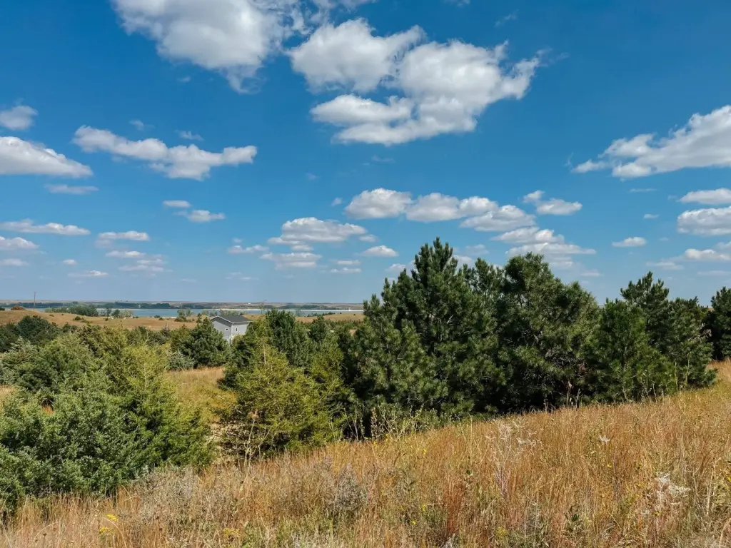
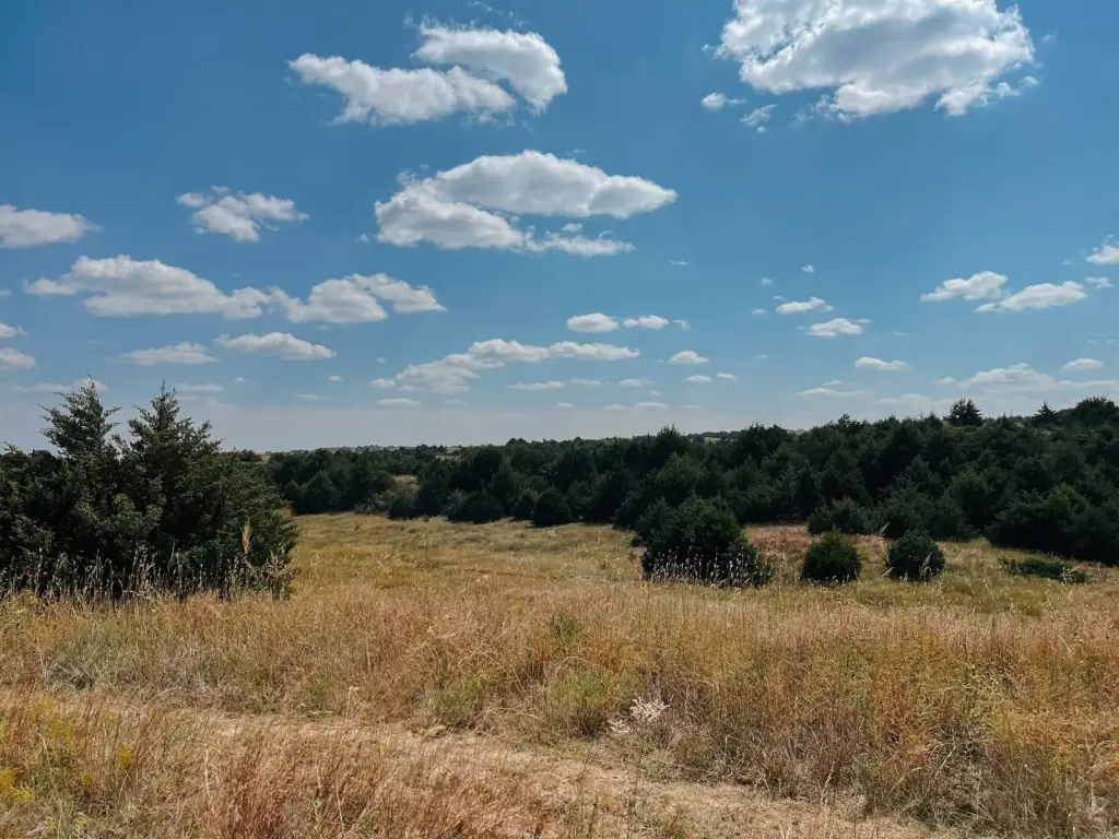
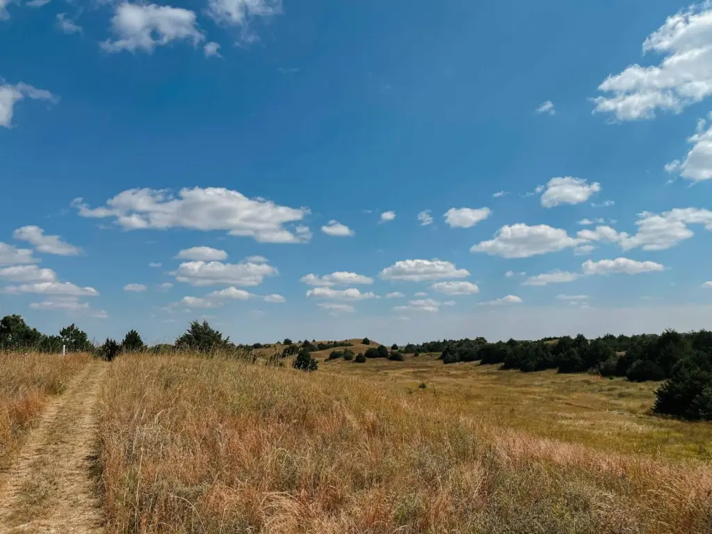
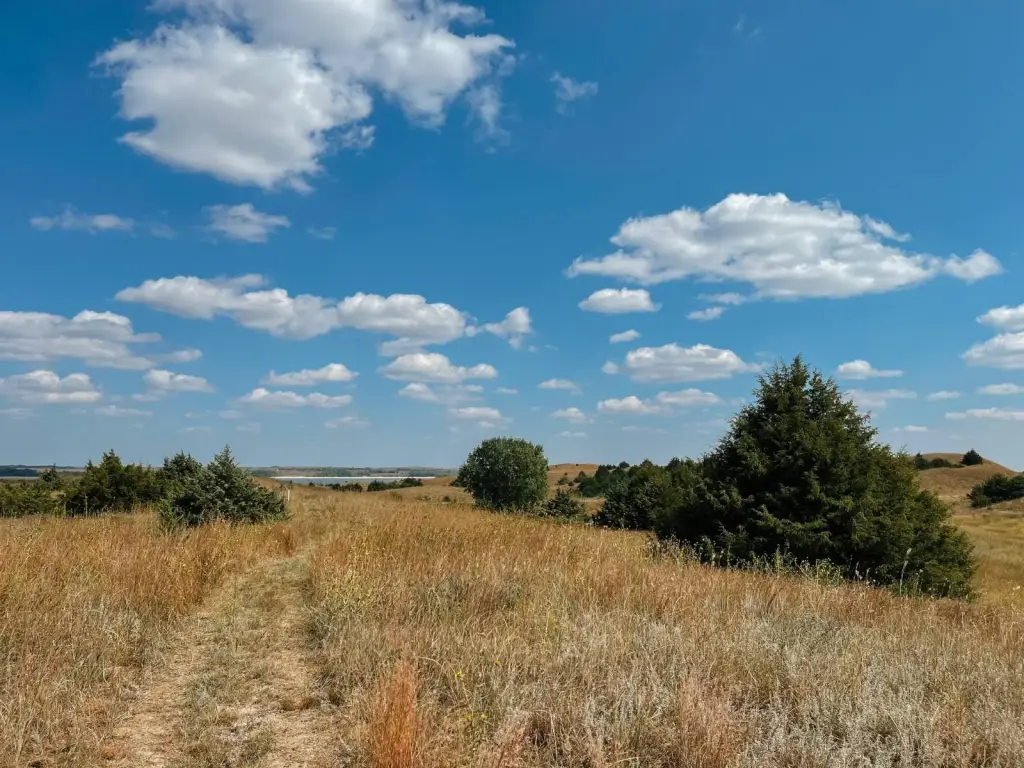
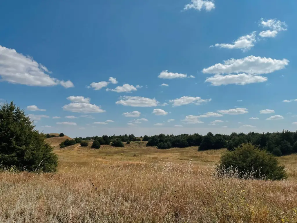
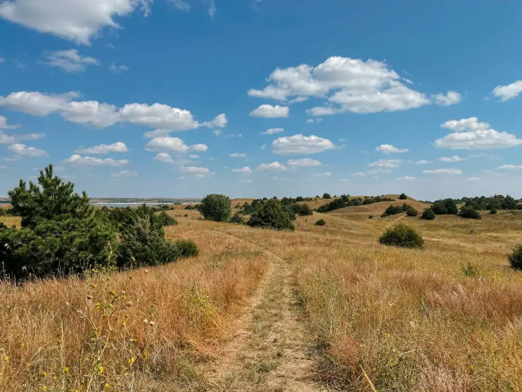
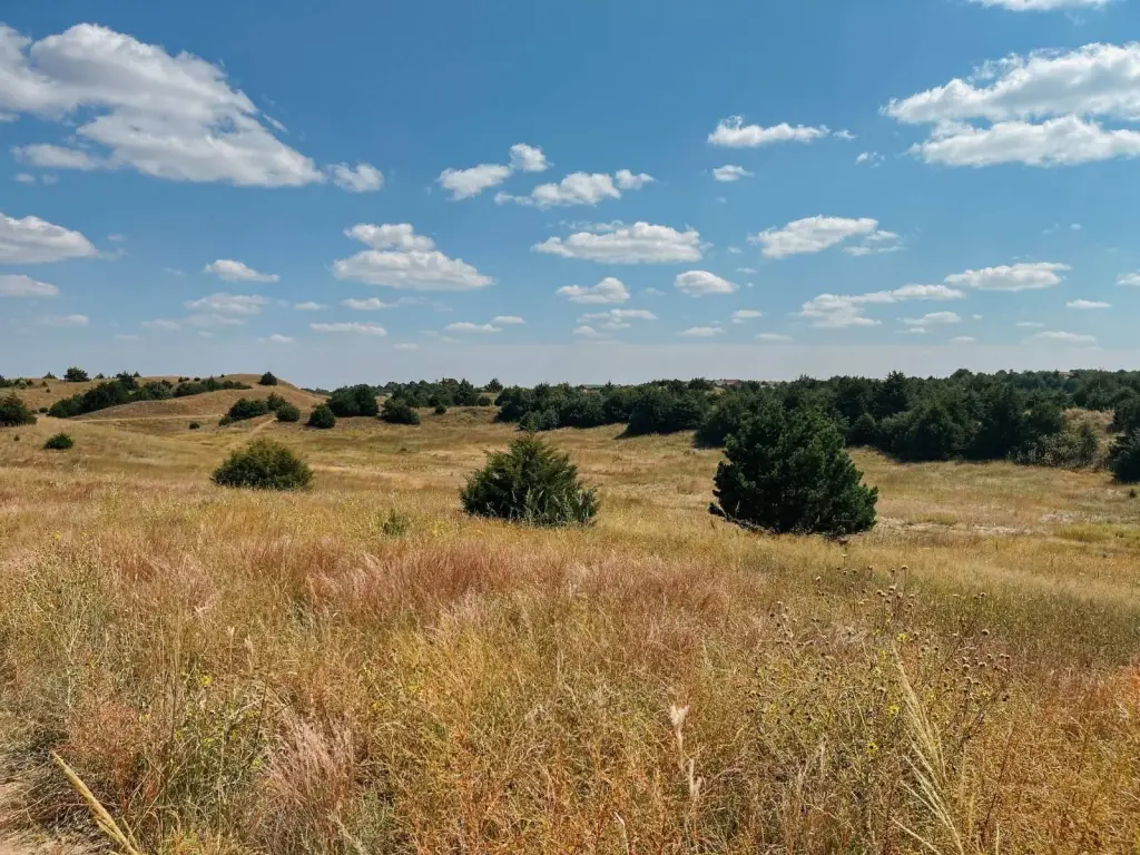
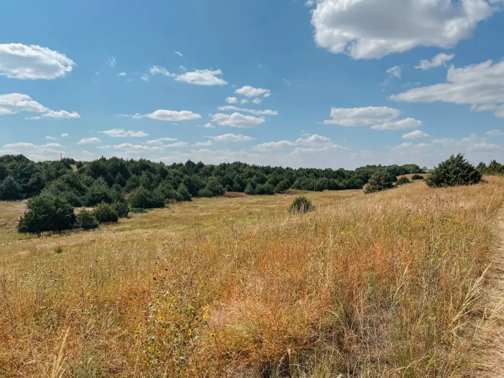
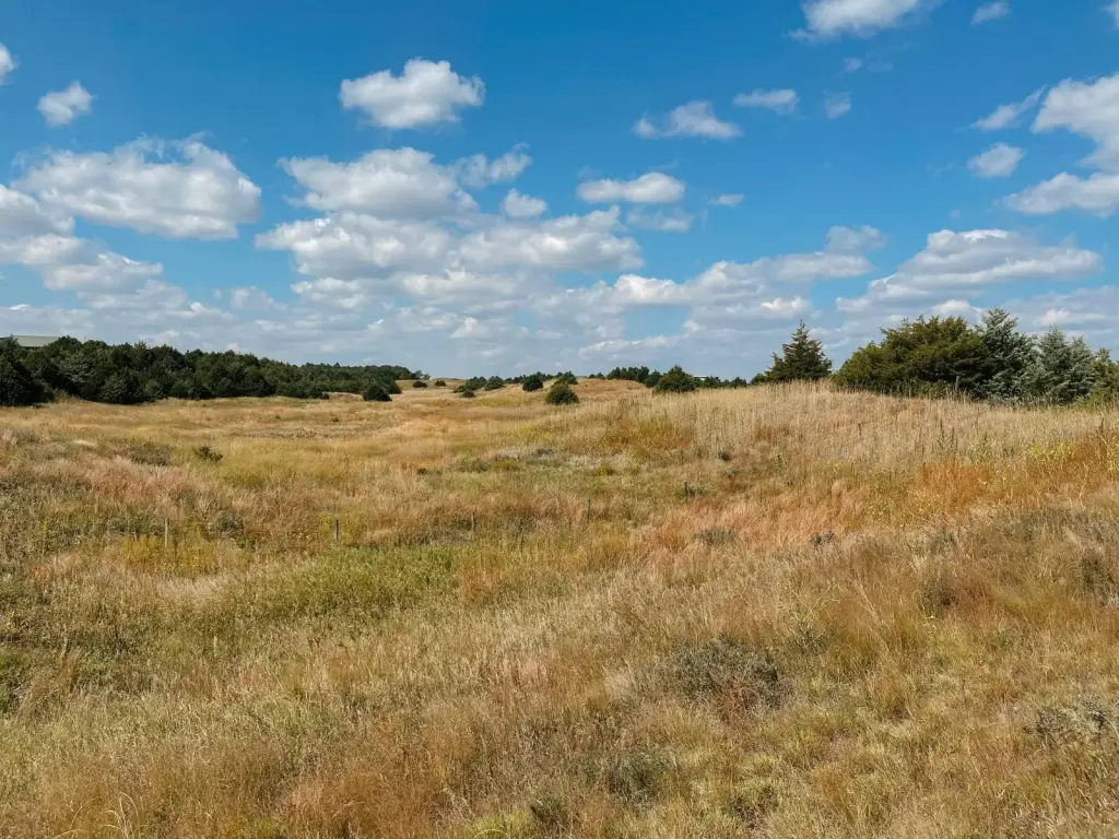
- 5.02+/- acre homesite with panoramic Calamus Reservoir lake views on rolling hills
- Directly across from the Calamus Wildlife Management Area for immediate access to public wildlife land
- Located 1/2 mile to Buckshot Bay Boat Ramp and 1.25 miles to Nunda Shoal Ramp (South Lake Road)
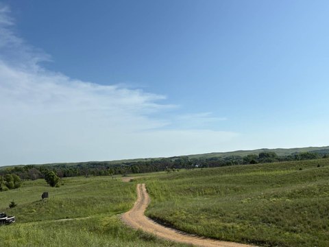
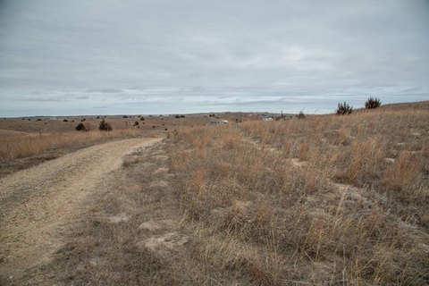
- Private, shared lane access for added security and seclusion
- Utilities: power available along the road via Custer County Power; high‑speed fiber optic internet via Hamilton Communications
- Protective CCRs in place to help preserve long‑term value and aesthetic integrity
Overview
The lot is positioned directly across from the Calamus Wildlife Management Area, giving immediate proximity to public recreation grounds for activities such as hunting and year-round use of wildlife land. For water access, the property is described as approximately 1/2 mile to Buckshot Bay Boat Ramp and about 1.25 miles to Nunda Shoal Ramp on South Lake Road. The surrounding area is also described as supporting hiking and birdwatching tied to the reservoir and nearby wildlife lands.
Given the stated combination of elevation, reservoir views, and immediate adjacency to public wildlife recreation, this site is well suited for a custom home, a weekend retreat, or a cabin concept where access to both water recreation and wildlife land is a priority. Showing access is by appointment only, and the private lane is shared with neighboring property owners.
Current Use by Public Records
Map
- City
- Burwell
- County
- Garfield
- State
- Nebraska
- Longitude
- -99.2634
- Latitude
- 41.8481