NNA Bayview Road, Athol, ID 83801
- Added:
- Jun 15, 2026
- Days on Market:
- 13
- Last Refresh:
- Jun 27 at 10:06 pm
Property Features for NNA Bayview Road
General Information
- Property type
- Land
- Property subtype
- Other
- Zoning
- Rural 5
- Exterior features
- Timber - All
- Standard status
- Active
- APN
- RP54N02W194910A
- Lot size
- 2.86 Acres
Taxes and HOA fees
- Tax Year
- 2025
- Tax Description
- 19-54N-2W Sesw Lying E Of Hwy & The Nesw Lying E Of Hwy Less N 940Ft
- Tax Annual Amount
- 644
Listing agent Christine Brochier License #SP30513 (208) 964-2136
Listing office John L. Scott 1884 W Bellerive Lane 104, Coeur d'Alene, ID (208) 930-0184
Listing date Jun 15, 2026
Copyright © 2026 Coeur d'Alene Multiple Listing Service. All rights reserved. All information provided by the listing agent/broker is deemed reliable but is not guaranteed and should be independently verified.
HighLights
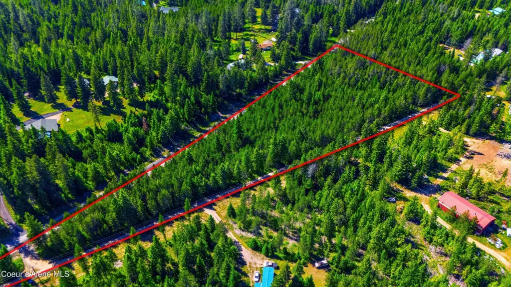
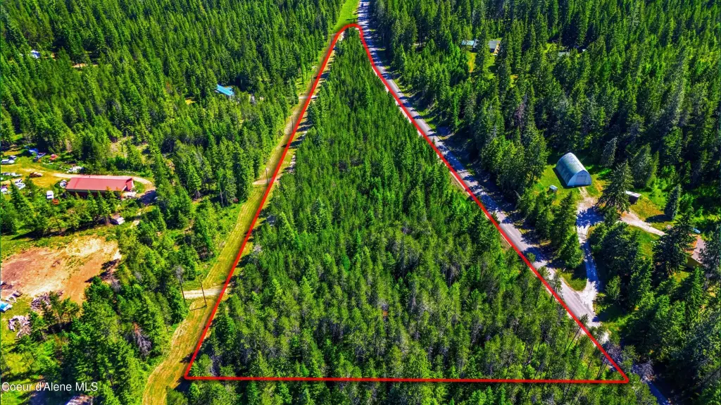
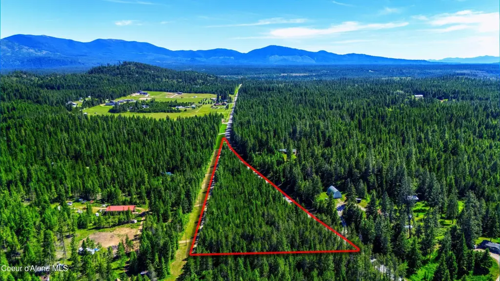
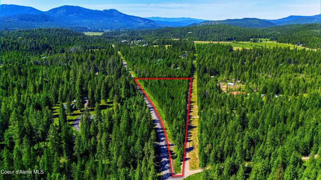
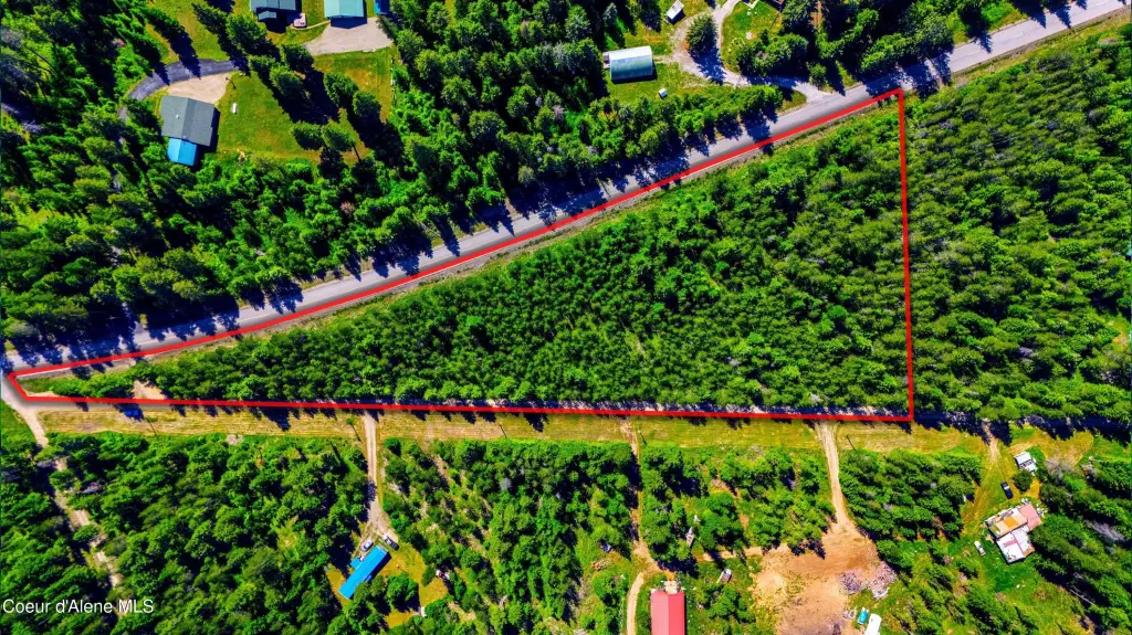
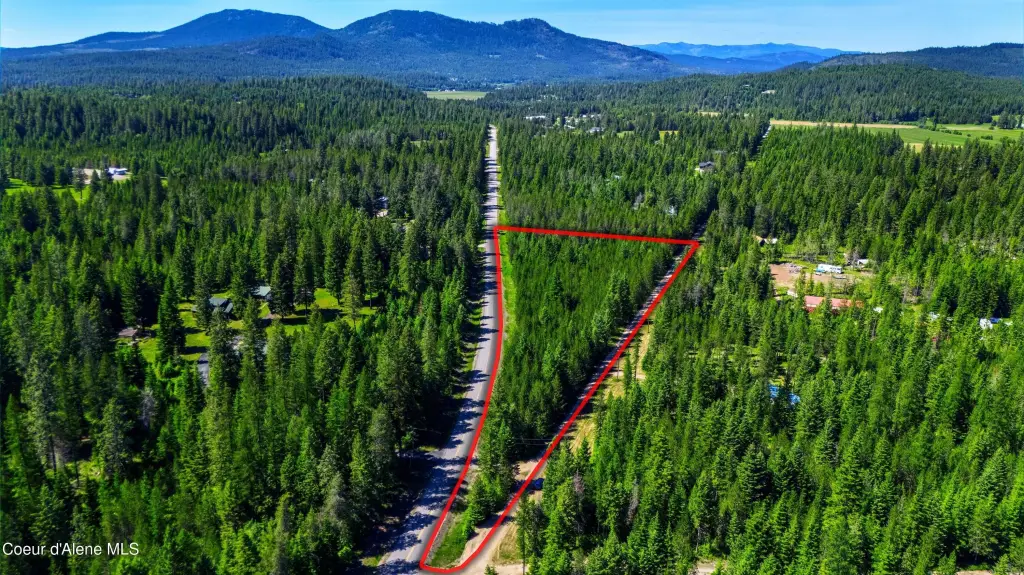
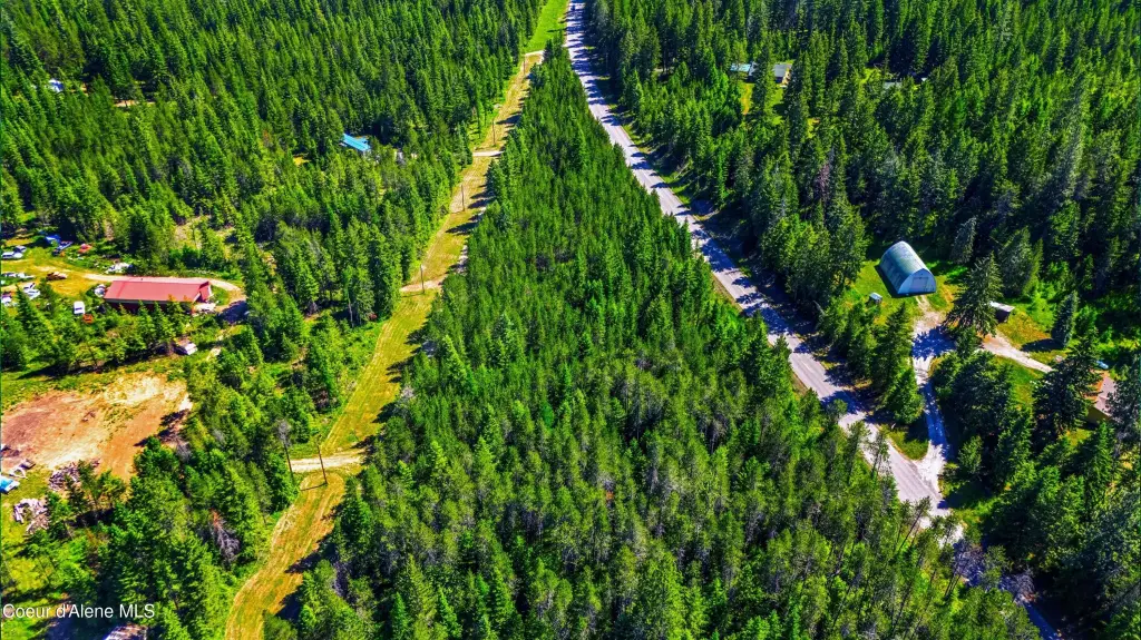
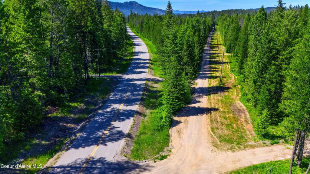
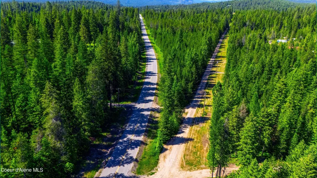
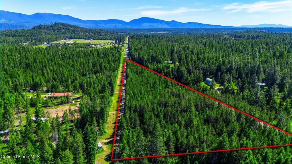
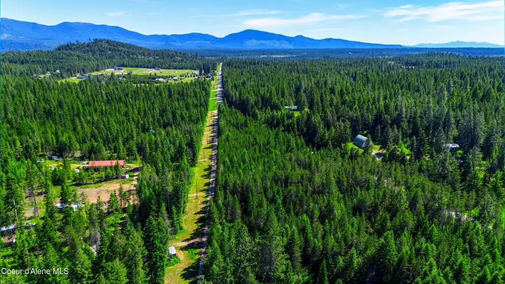
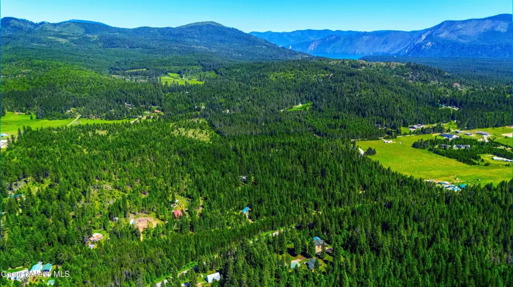
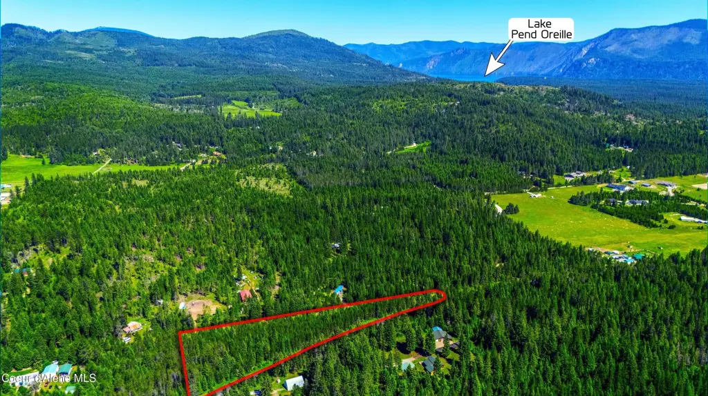
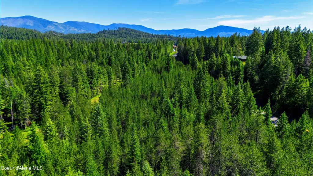
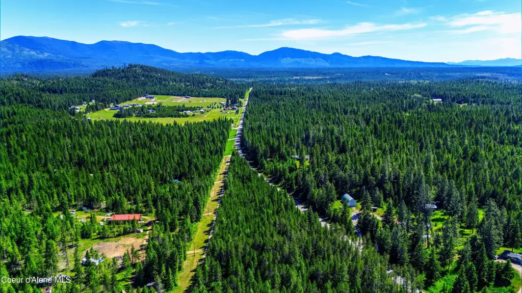
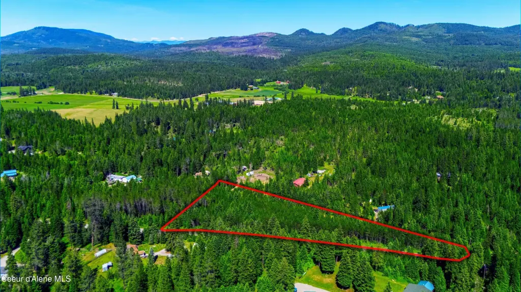
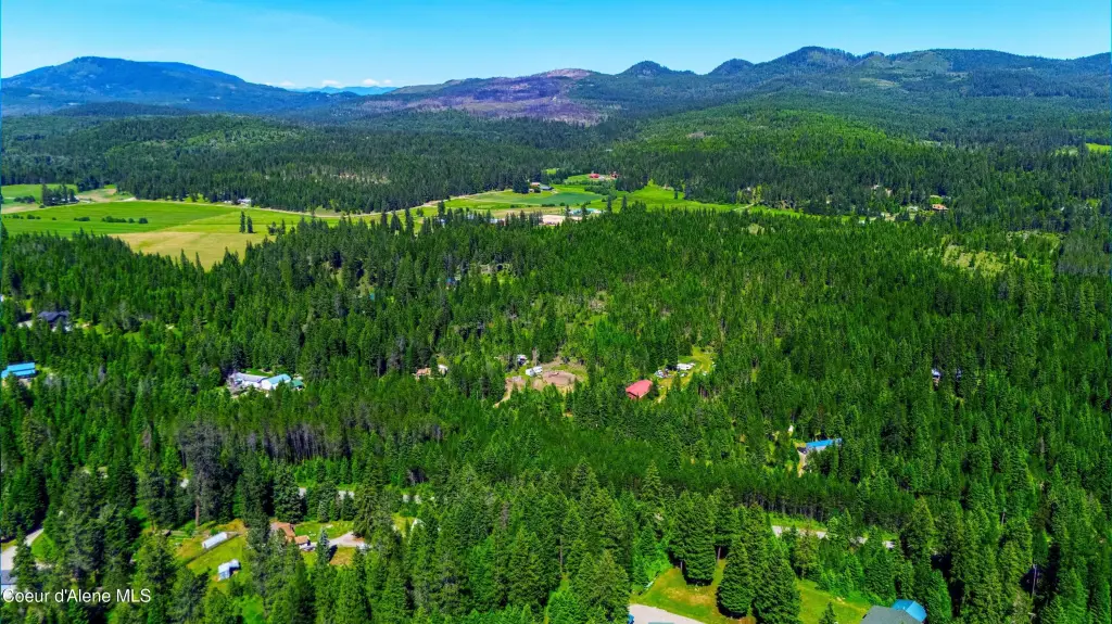
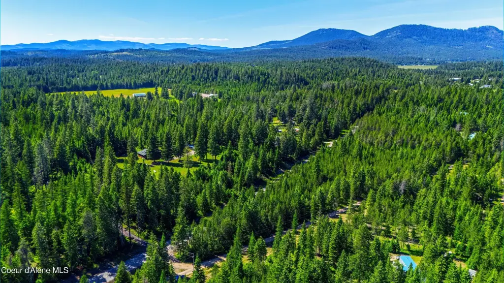
- Level 2.86‑acre property in Bonner County near Bayview and Athol, ID.
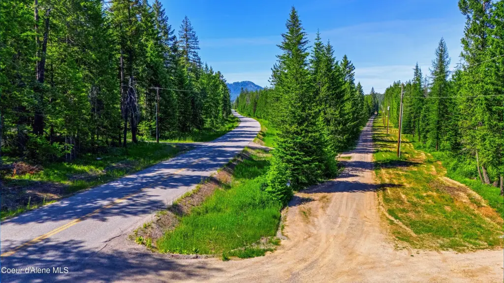
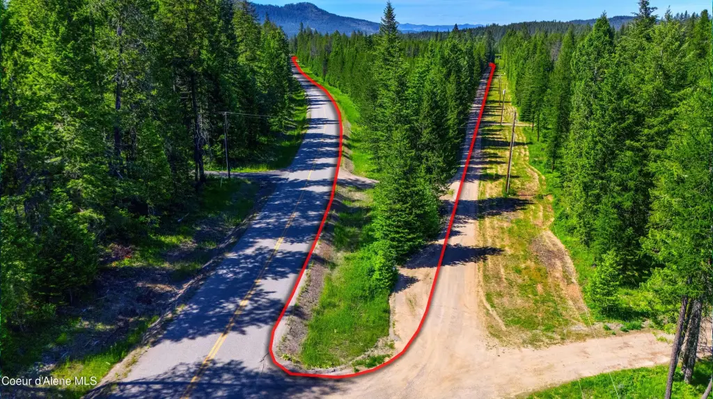
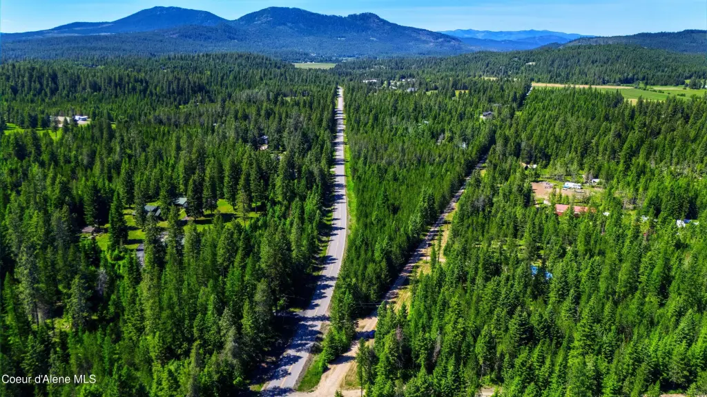
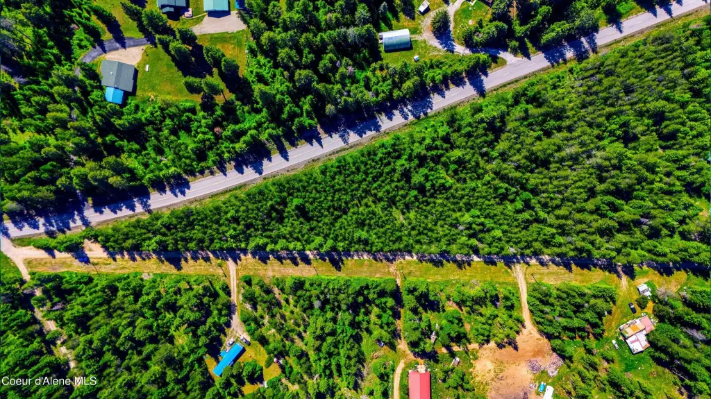
- Easy year‑round access via a paved, county‑maintained road.
- Minutes to the Bayview public boat launch and Farragut State Park recreational opportunities.
- Over 4,000 acres at Farragut State Park for hiking, biking, camping, and water activities.
- No CC&Rs or HOA, allowing flexible use of the property.
- Exterior: timber—All.
Overview
Access is available via a paved, county-maintained road, supporting year-round accessibility. The listing describes the site as just a few miles from Bayview and Athol, with nearby access to the public boat launch and the outdoor opportunities associated with Farragut State Park. The area is also described as having restaurants, pubs, and shopping nearby, with Coeur d'Alene about 40 minutes away and Sandpoint about 30 minutes away.
For tenants, buyers, or investors who want land rather than an improved building, this parcel can fit a range of plans that depend on reliable road access and fewer restrictions. Its level characteristics and RV/boat-launch and park proximity described in the remarks make it a practical consideration for recreational buyers seeking a property that can be used on their own terms.
Current Use by Public Records
Map
- City
- Athol
- County
- Kootenai
- State
- Idaho
- Longitude
- -116.622778
- Latitude
- 48.009443