Map 14 lot 50, Andover, ME 04216


- Added:
- Jun 25, 2026
- Days on Market:
- 4
- Last Refresh:
- Jun 28 at 5:06 am
Property Features for Map 14 lot 50
General Information
- Property type
- Land
- Property subtype
- Other
- Zoning
- RR
- Parking features
- Driveway, Other
- Standard status
- Active
- Lot size
- 69.11 Acres
Taxes and HOA fees
- Tax Year
- 2025
- Tax Annual Amount
- 178
Listing agent Kelly Pitman (207) 577-6187
Listing office Berkshire Hathaway HomeServices Northeast Real Estate 473 Center Street, Bangor, ME (207) 784-0159
Listing date Jun 25, 2026
Copyright © 2026 Maine Listings. All rights reserved. All information provided by the listing agent/broker is deemed reliable but is not guaranteed and should be independently verified.
HighLights
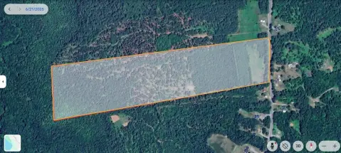
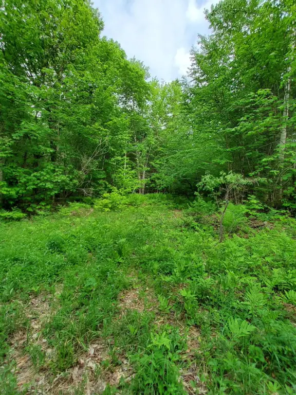
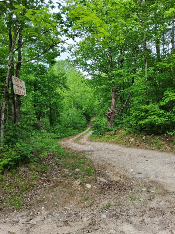
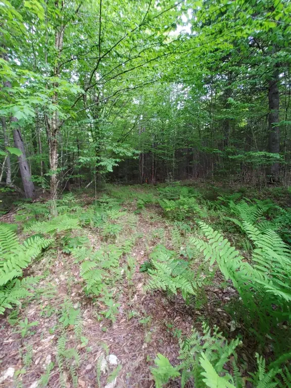
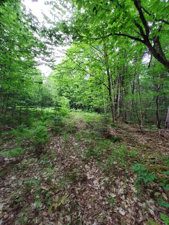
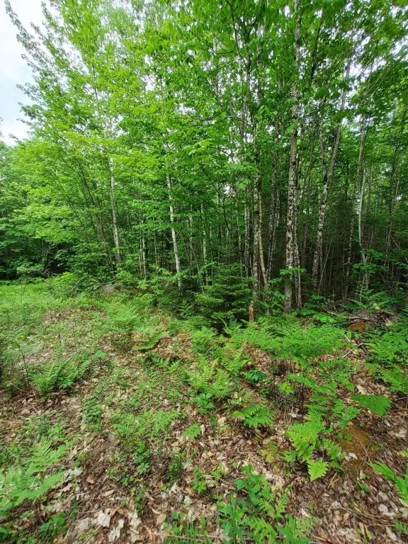
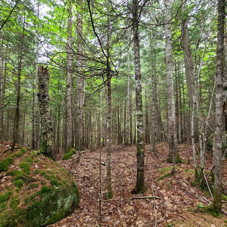
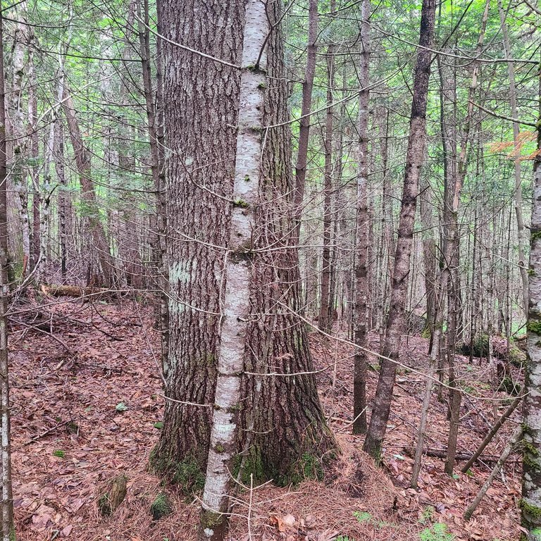
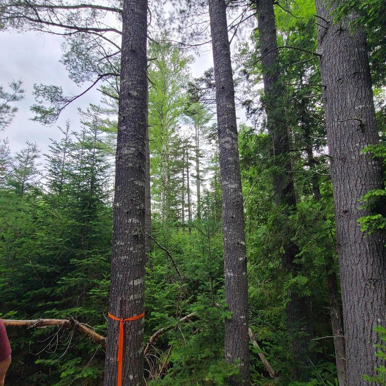
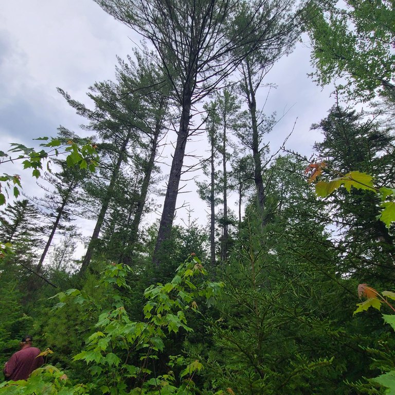
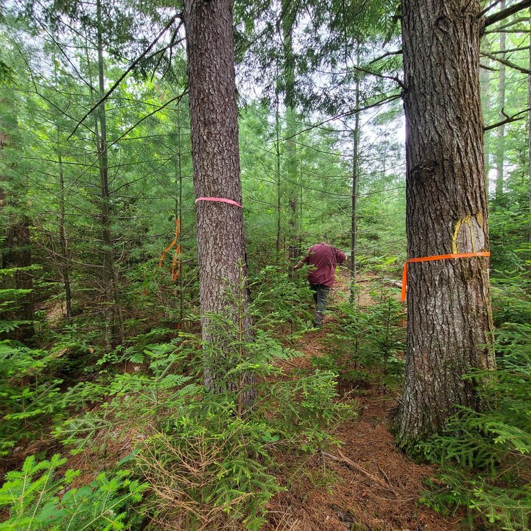
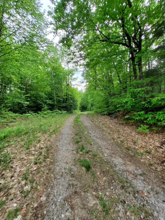
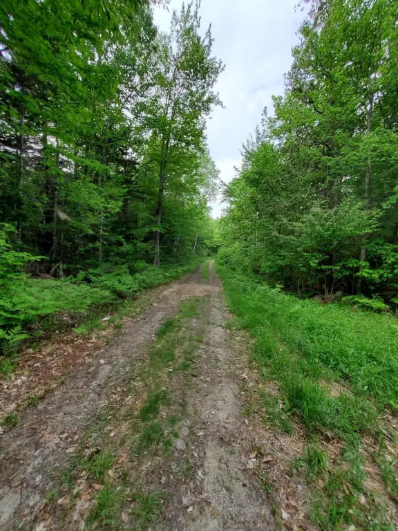
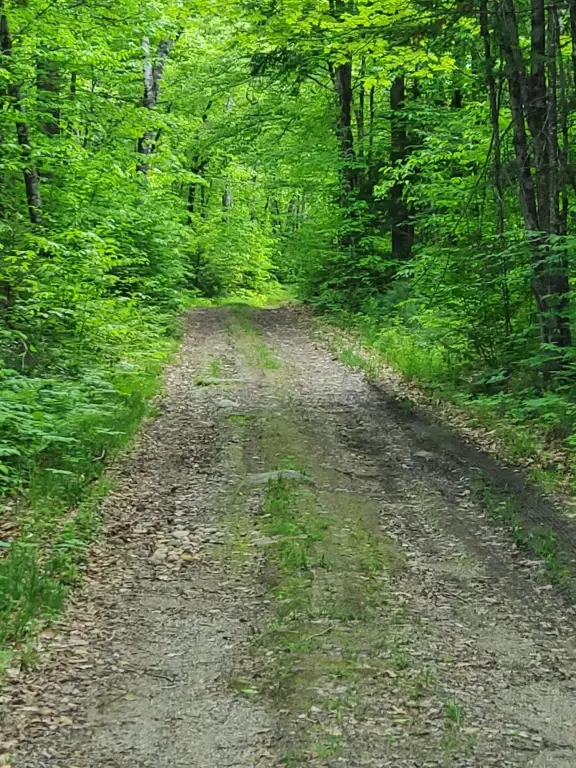
- 69.11‑acre wooded recreational lot on the outskirts of Andover
- Tree growth tax benefit
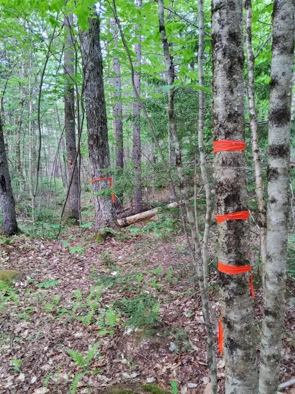
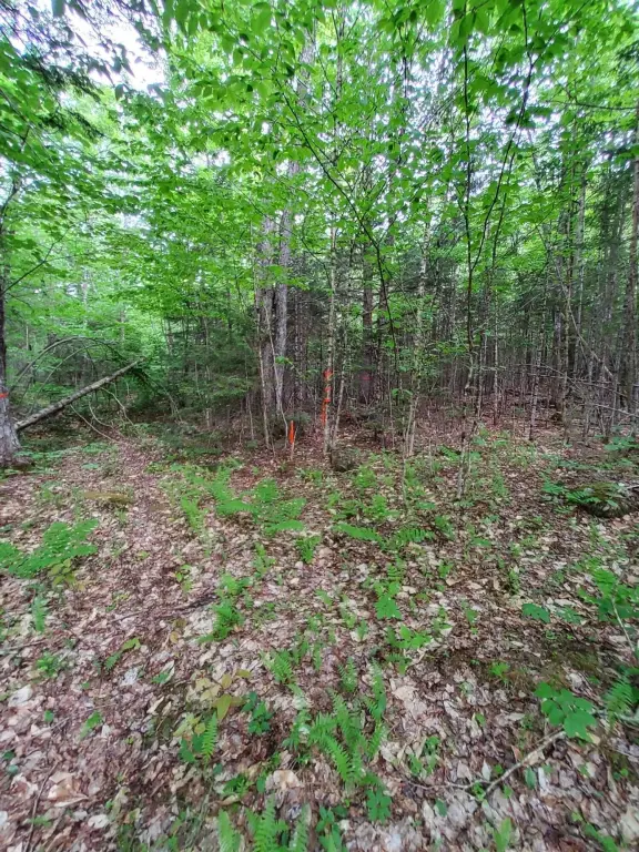
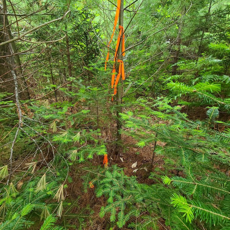
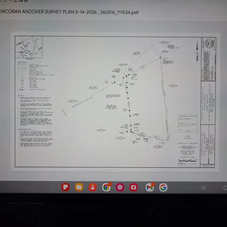
- Recently surveyed with pins and ribboning
- Access via existing unimproved Grover Orchard Road; represented based on long‑continued use, prescriptive easements, and easement by necessity
- Former skidder trails and creeks throughout the property
- Lots of wildlife sign noted on‑site
Overview
The property sits on the outskirts of the town of Andover, Maine, and is described as being close to hiking as well as ATV and snowmobile trails. Access is via an existing unimproved roadway identified as Grover Orchard Road. The seller notes there is no recorded deeded access to the parcel.
For buyers seeking recreational wooded land, the existing trail features and natural cover may support a variety of outdoor uses consistent with the property’s current recreational character. Because access is not recorded as a deeded easement, prospective buyers should review the provided plan and the basis for access representation prior to making decisions.
Current Use by Public Records
Map
- City
- Andover
- County
- Oxford
- State
- Maine
- Longitude
- -70.768501
- Latitude
- 44.665824