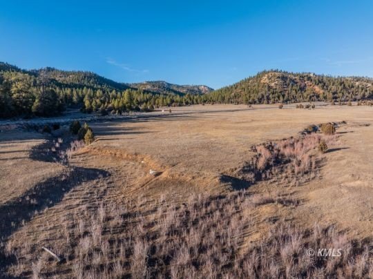
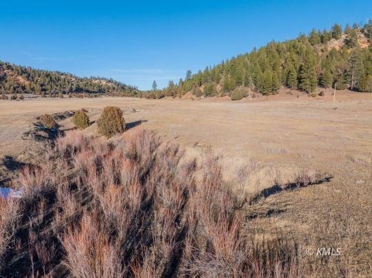
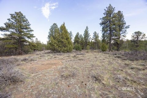
Agricultural Land Along Highway
Highway 89 Alton, UT 84710

For Sale
$1,016,200
LAND - Alton, UT
Lot Size50.81 Acres
Days on Market181
Property Features for Highway 89
General Information
Property type
Land
Property subtype
Other
Zoning
Agricultural
Standard status
Active
APN
9-6-4-2
Lot size
50.81 Acres
Taxes and HOA fees
Tax Annual Amount
6
Listing Agency:
Red Rock Real Estate (Kanab)
(435) 275-2775
Listed By:
Becky Glover · License #10416505-AB00
(435) 691-1227
Added: Jan 28
Changed: Jul 6
Last Checked: Jul 28 at 1:06AM
MLS# 1409197
Copyright © 2026 Kanab Multiple Listing Service. All rights reserved. All information provided by the listing agent/broker is deemed reliable but is not guaranteed and should be independently verified.
Investment Insights
Based on property information with market context.
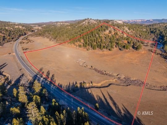
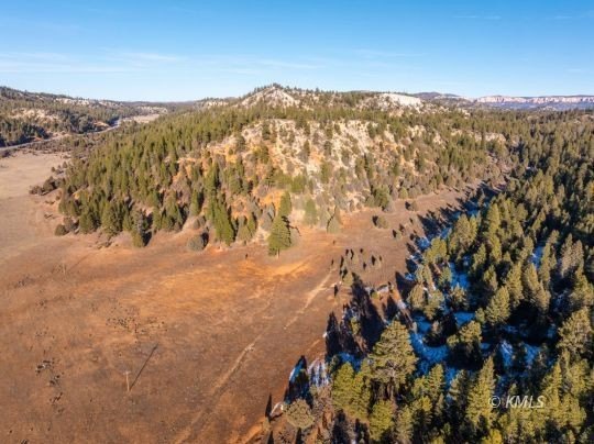
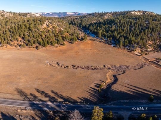
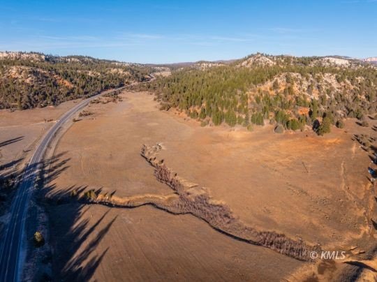
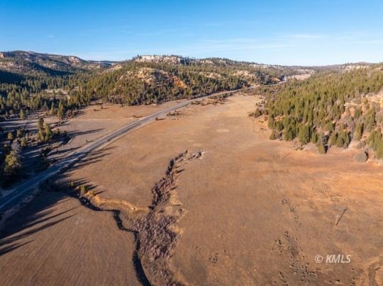
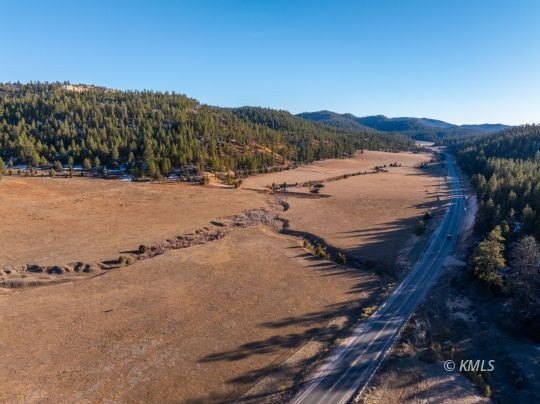
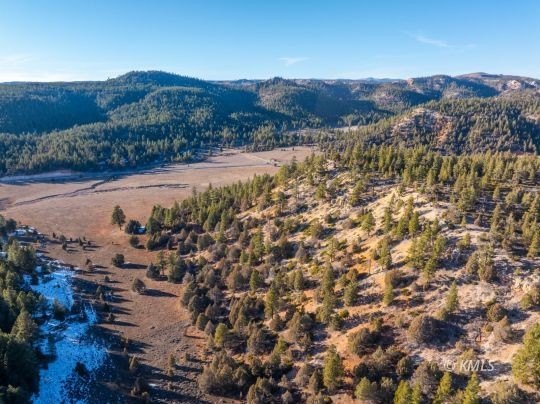
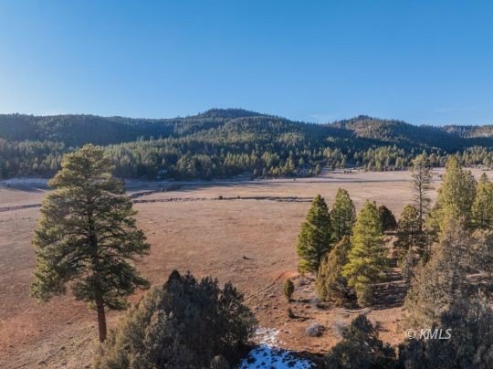
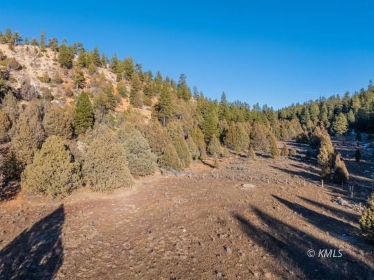
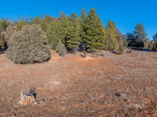
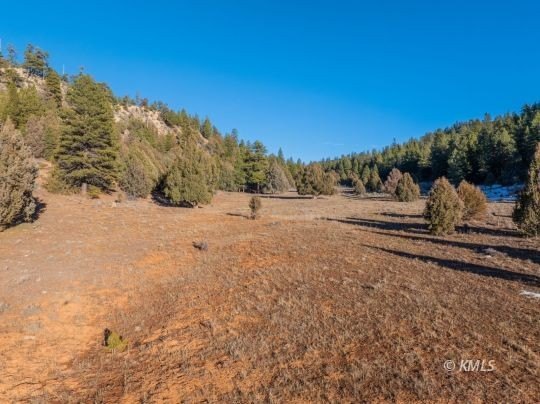
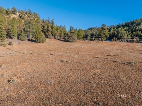
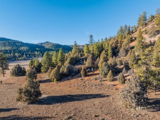
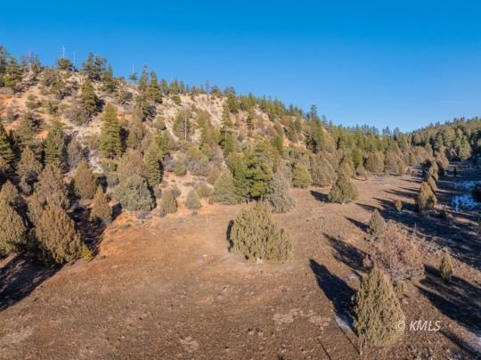
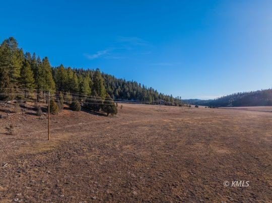
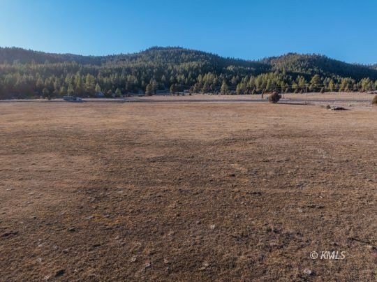
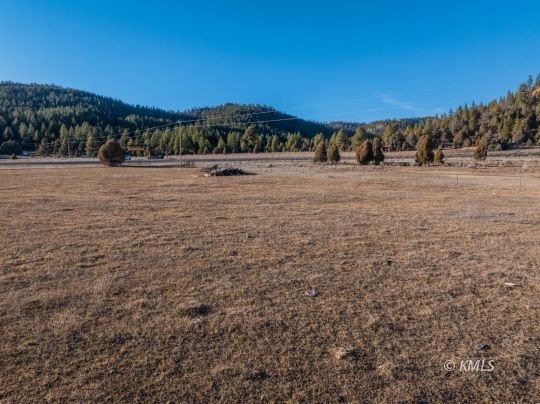
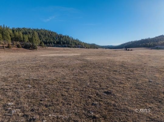
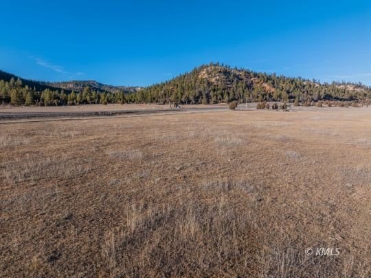
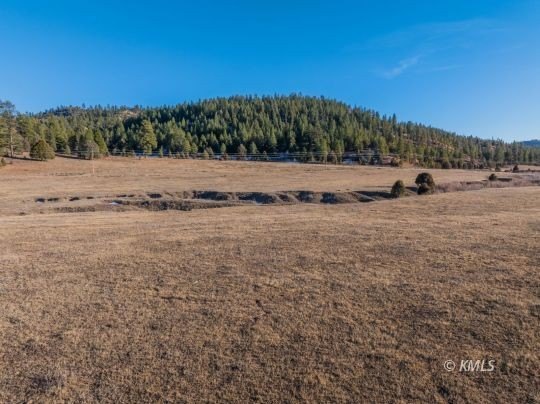
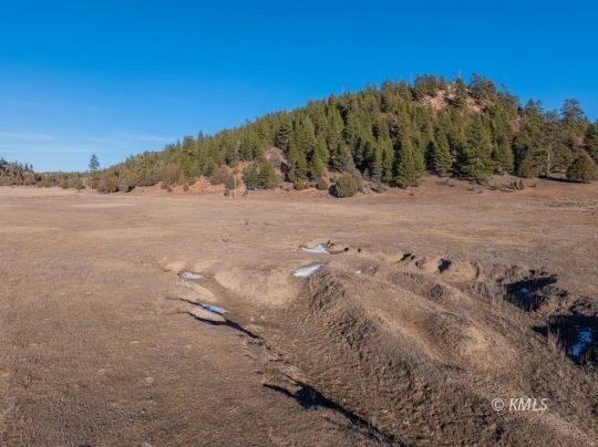
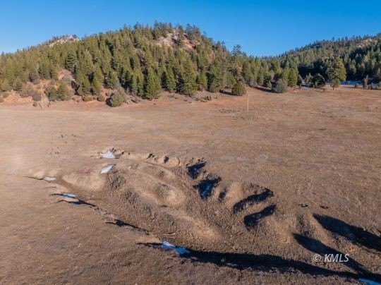
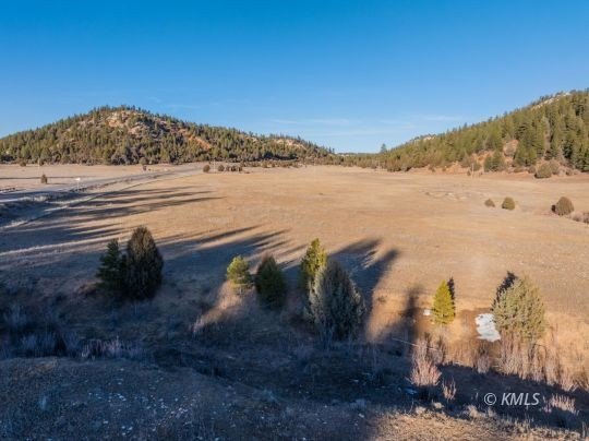
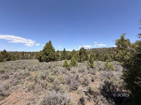
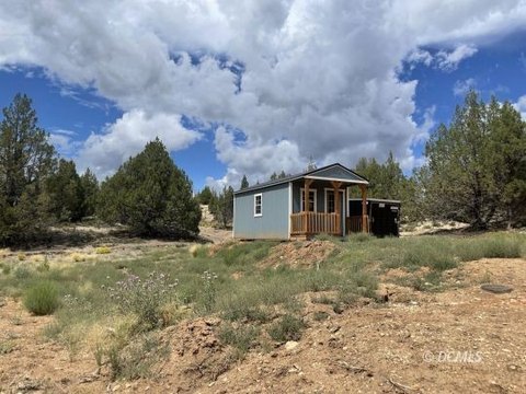
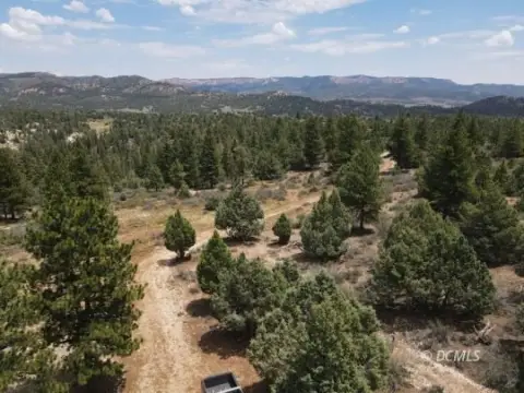
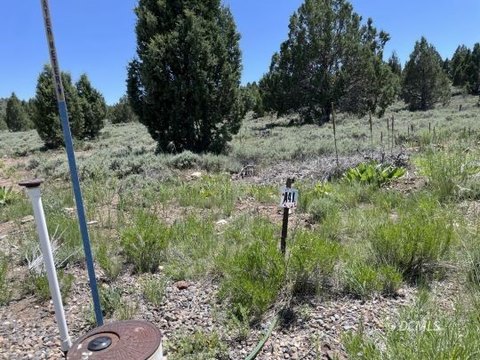
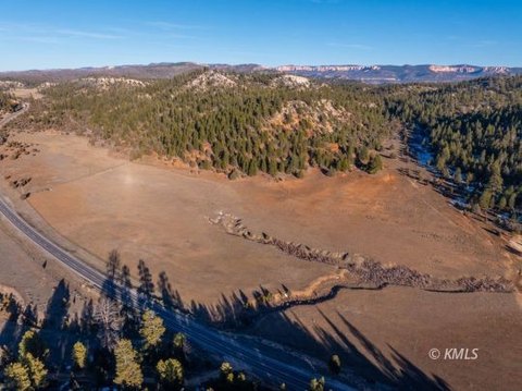
This offering is 50.81 acres of agricultural land, listed for sale with Agricultural zoning. The property is an open, land-only parcel, suited to buyers who want room for agricultural uses or to plan a rural development concept in an agricultural framework.
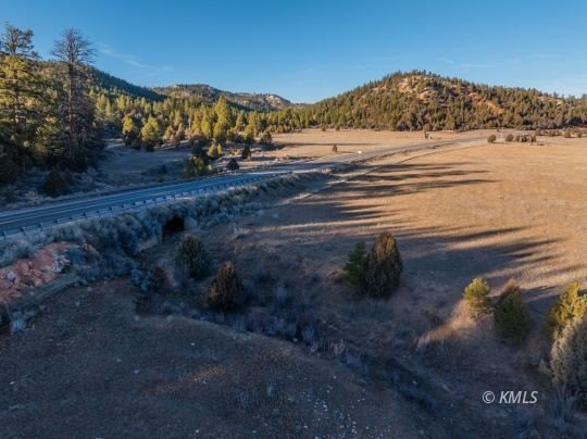
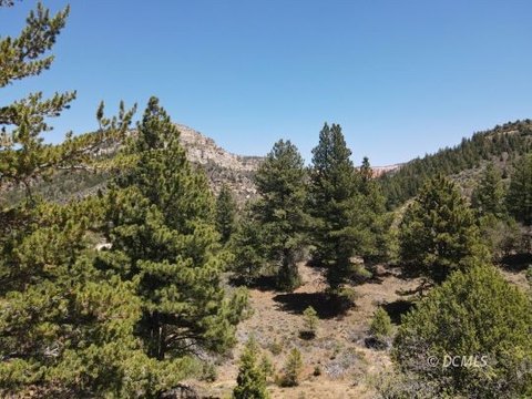
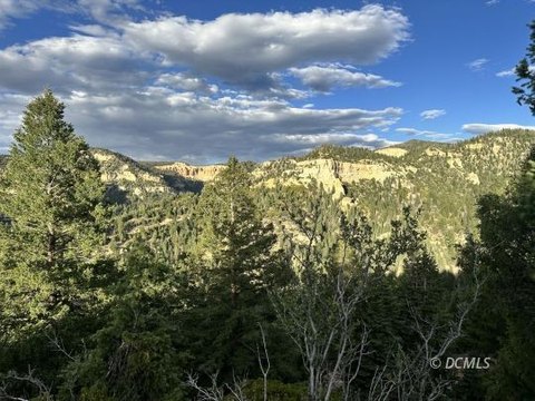
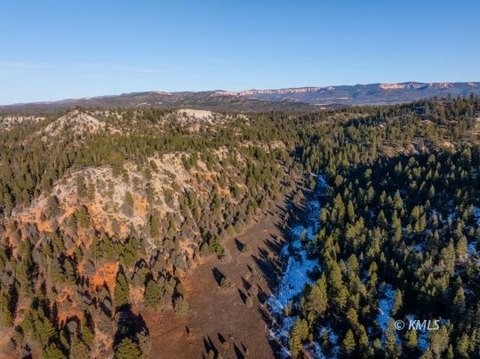
The site fronts Highway 89 in Alton, Utah, providing direct roadway access for day-to-day use and for prospective projects that benefit from roadside positioning. The property’s location in a Southern Utah recreation corridor can support a range of outdoor-oriented operating plans, depending on approvals and use requirements.
With Agricultural zoning, this parcel may fit buyers exploring an ag-based operation, a guest ranch or retreat concept, or other agricultural uses that align with local zoning and permitting. The combination of acreage and highway frontage is designed to support practical planning for long-term ownership and multi-year project timelines, subject to all applicable regulations. Buyers and brokers should verify specific permitted uses and development requirements with Kane County and the appropriate state agencies before finalizing plans.
Key Highlights
- 50.81 acres of agricultural land along Highway 89 in Southern Utah
- AG zoning offers flexible use for agricultural, retreat, guest ranch, or resort‑style projects
- Property is positioned between Bryce Canyon National Park and Zion National Park
Property Analytics
Property Profile
Location Intelligence
Current Use

Frequently Asked Questions
What type of property is this?
Agricultural land / Farmland - Agricultural-zoned acreage along Highway 89, offering flexibility for farm, ranch, or destination-style use planning.
Where is this agricultural land / farmland located?
The property is located at Highway 89 Alton, UT.
What is the asking price?
The asking price for this property is $1,016,200.
What are key features of this property?
This property features: 50.81 acres of agricultural land along Highway 89 in Southern Utah; AG zoning offers flexible use for agricultural, retreat, guest ranch, or resort‑style projects; Property is positioned between Bryce Canyon National Park and Zion National Park


