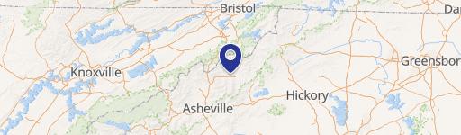
99999 Rock Creek Road, Burnsville, NC 28714
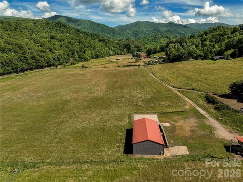
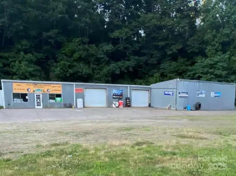
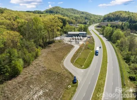
Flat, undeveloped land with a rear spring water right-of-way and road access via right-of-way.
- Added:
- Aug 9, 2025
- Days on Market:
- 333
- Last Refresh:
- Jul 6 at 1:49 am
Property Features for 99999 Rock Creek Road
General Information
- Standard status
- Active
- Lot size
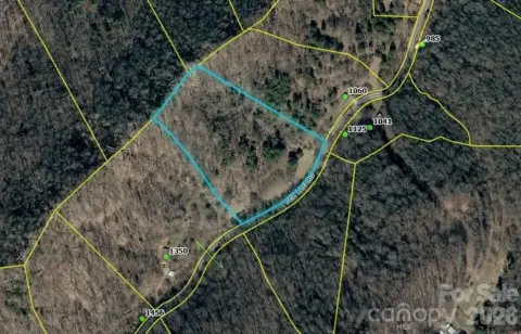
- 2.08 Acres
- Property subtype
- Lot-Land

Listing office RE/MAX RESULTS (864) 934-1027
Listing date Aug 9, 2025
Source Cdanjoyner
Displayed information is deemed reliable but is not guaranteed and should be independently verified.
All listing content including descriptions, pricing, images are the copyrighted material of RE/MAX RESULTS
HighLights
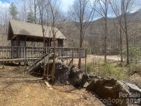
- 2.08‑acre undeveloped parcel with level, private, wooded lot features
- Access via private maintained road (gravel and paved road surfaces)
- Water right‑of‑way from an active spring flows across the rear of the land
- Road right‑of‑way for easy access; water source listed as well needed
- Seasonal mountain views listed; golf course views included
Overview
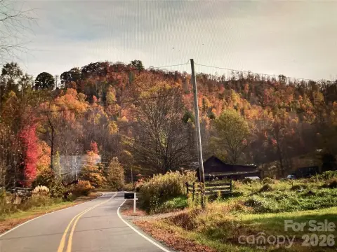
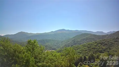
The parcel is located just off Rock Creek Road, with access described as minutes from the South Toe River. The listing also references nearby outdoor and recreational uses associated with the South Toe River, along with Mount Mitchell and Roaring Fork Falls. Views described include golf course views.
Given the combination of flat terrain and on-site water right-of-way, this property may fit buyers seeking to develop a personal retreat or a recreation-oriented use that benefits from accessible, buildable land characteristics. The listing also specifies that drive-bys are not available and that appointments are required for viewing.
Current Use by Public Records
Location Insight
- Map
- Local Demand
- City
- Burnsville
- County
- Yancey
- State
- North Carolina
- Longitude
- -82.21014
- Latitude
- 35.775908