Arizona Agricultural Lease Land For
For Sale
Contact for pricing
Dateland Land, Roll, AZ 85347
1,525.08 acres of agricultural lease land available for purchase.
Lot Size1,525.08 Acres
Days on Market1352
Property Features for Dateland Land
General Information
Standard status
Active
Lot size
1,525.08 Acres
Property subtype
Land
Listing Agency:
A.T. Pancrazi Real Estate Services Inc
Listed By:
Patrick Hodges · License #AZ SA543559000
Source:
Crexi
Added: Nov 19, 2022
Changed: Jul 6
Last Checked: Aug 1 at 5:59AM
Displayed information is deemed reliable but is not guaranteed and should be independently verified. All listing content including descriptions, pricing, images are the copyrighted material of A.T. Pancrazi Real Estate Services Inc
Investment Insights
Based on property information with market context.
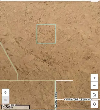
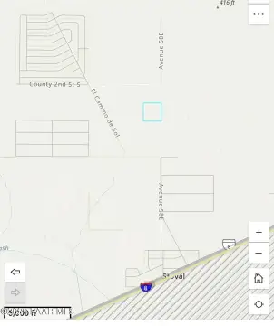
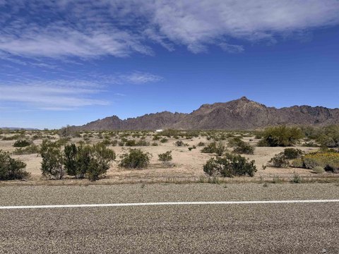
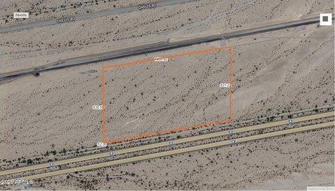
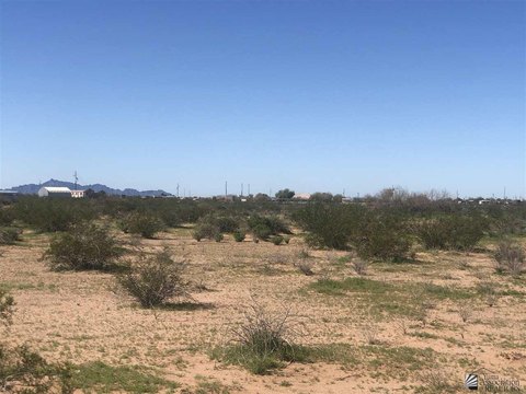
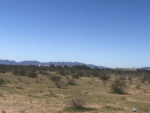
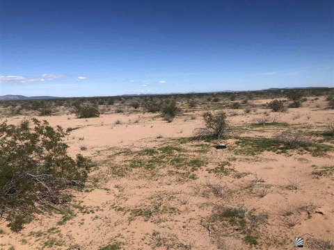
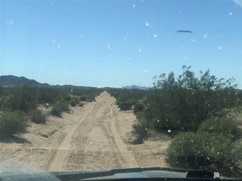
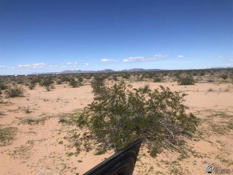
For sale is an entire farm encompassing approximately 1,525.08 acres of Arizona State Agricultural Lease Land. The property is situated 10 miles north of Dateland, Arizona, on Dateland Road, north of Interstate 8. Specifically, it's located on the north side of the railroad, north of Aqua Caliente Dateland Road, within Yuma County. The land is positioned in the Lower Gila River Basin and benefits from water access via three existing irrigation wells located on the property. The agricultural leases, identified under lease number 01-101167, are set to mature on December 18, 2025.
Key Highlights
- 1.525.08 Acres (Appx) of Arizona State Agricultural Lease Land
- Located in the Lower Gila River Basin
- Three (3) Existing Irrigation Wells on the Property
Property Analytics
Current Use
Location Intelligence
Demographics for 85347, AZ
310
Population
216
Households
1.4
Avg Household Size
48
Median Age
19%
College-Educated
83%
High-School Grad
210.0 sq mi
ZIP Area
1
Density / Sq Mi
$75,469
Median Household Income
$44,698
Median Earnings
$1,079
Median Rent

Questions? Ask Rey
Realmo’s AI knows this listing — price, zoning, demand, history. Ask anything.


Frequently Asked Questions
What type of property is this?
Agricultural land / Farmland - 1,525.08 acres of agricultural lease land available for purchase.
Where is this agricultural land / farmland located?
The property is located at Dateland Land Roll, AZ.
What is the asking price?
The asking price for this property is $3,700,000.
What are key features of this property?
This property features: 1.525.08 Acres (Appx) of Arizona State Agricultural Lease Land; Located in the Lower Gila River Basin; Three (3) Existing Irrigation Wells on the Property