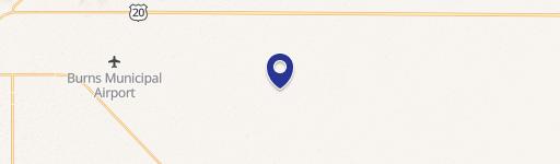
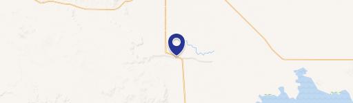
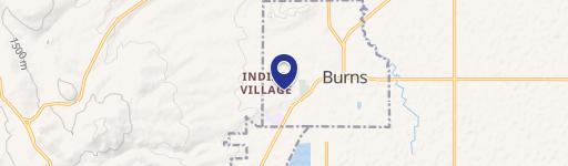
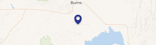
Foley Dr Burns, OR 97720
- Land
- 2.80 lot acres
Current Use by Public Records
- Land
Property Details for 0 Foley Dr
- Lot size
- 2.80 lot acres
- Property type
- Land
Description
This exceptional 2.8-acre commercial lot in Burns, Oregon, presents a unique investment opportunity. Located on N Foley Dr in Harney County, this property boasts a prime location just north of Main Street, offering convenient access to downtown Burns and various nearby stores. Currently zoned for residential use, the land provides flexibility for future development. The property's current use involves a single annual alfalfa hay cutting, and it offers potential for livestock storage. While not currently connected to city services, water, sewer, and power lines run along the western property boundary on Foley Drive, providing readily available utility access. This versatile land parcel offers the potential for continued agricultural use or development into a future homesite, accommodating both residential needs and the possibility of keeping livestock. The asking price for this 2.8-acre lot is $60,000, making it an attractive proposition for investors seeking a strategically located property in Eastern Oregon with multiple potential uses. The zip code is 97720.
Value Estimations
-
AI approach
-
CAP approach
-
Comparable approach
-
Alternative Use
Location Insight
- Map
- Local Demand
- City
- Burns
- County
- Harney
- State
- Oregon
- Longitude
- -119.059
- Latitude
- 43.598