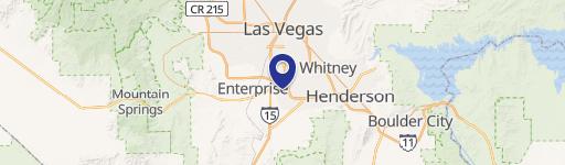
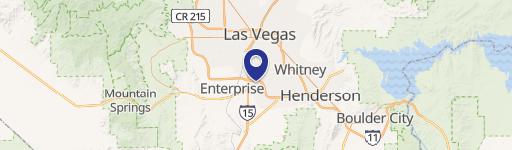
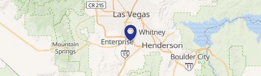
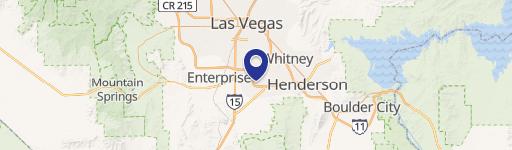
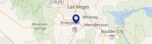
Gillespie St And Pebble Rd Las Vegas, NV 89123
- Land
- 2.50 lot acres
Current Use by Public Records
- Land
Property Details for 0 Gillespie St And Pebble Rd
- Lot size
- 2.50 lot acres
- Property type
- Land
Description
This exceptional 2.5 +/- acre parcel, located at the intersection of Gillespie Street and Pebble Road in unincorporated Clark County, Nevada (zip code 89123), presents a unique investment opportunity. The property boasts 313 feet of frontage on Gillespie Street and is situated in a rapidly growing area east of the Las Vegas Boulevard corridor. Currently zoned RS20, this land allows for single-family residential development with up to two units per acre, making it perfect for a variety of residential projects. The planned land use is Ranch Estate Neighborhood. Utilities are readily available, including a 14-inch lateral water line on Pebble Road and an 8-inch lateral water line on Gillespie Street extending to the parcel boundary. Sewer lines are also accessible via Gillespie Street. The 2024 property taxes are $2,127. The APN is 177-16-801-006. This property is within the Enterprise jurisdiction of Clark County. Its proximity to Las Vegas Boulevard makes it a highly desirable location for residential development. This is a rare opportunity to acquire a substantial land parcel in a thriving area of Las Vegas.
Value Estimations
-
AI approach
-
CAP approach
-
Comparable approach
-
Alternative Use
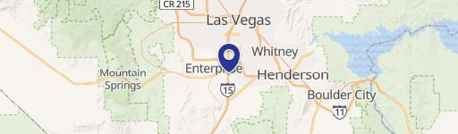
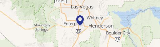
Location Insight
- Map
- Local Demand
- City
- Las Vegas
- County
- Clark
- State
- Nevada
- Longitude
- -115.163
- Latitude
- 36.0283