 Entity Owned
 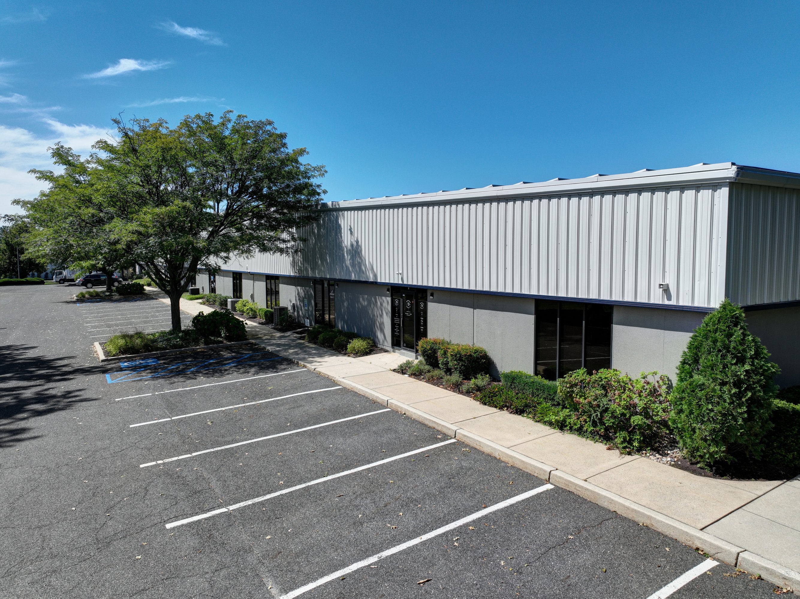 For Lease
1 / 3
For Lease
1 / 3
Property summary
This exceptional industrial property, located at 97 Foster Road in Moorestown, New Jersey, offers a range of warehouse and distribution spaces ideal for various business needs. The single-story building, constructed in 1982, boasts a total of 43,200 square feet and is divided into five suites. Units are available ranging from a minimum of 7,200 square feet up to a maximum contiguous space of 10,891 square feet. The property features impressive ceiling heights ranging from 16 to 20 feet, providing ample vertical storage capacity. Loading and unloading are facilitated by seven loading docks, including five dock-high doors, and two drive-in doors. The warehouse space is complemented by ample parking with 93 spaces available for employees and visitors. One available unit includes 1,800 square feet of office space, providing a convenient area for administrative functions. This strategically located property in Burlington County, zip code 08057, offers easy access to major transportation routes, making it an excellent choice for businesses requiring efficient logistics and distribution capabilities. The property's multiple tenancy structure provides flexibility for businesses of varying sizes.
Property profile
VerifiedCap rate & NOI
Current use
-
Electronics & Wireless Store
-
Waste Management Facility Hazardous Waste Disposal
-
Auto Repair Shop
Location
Value estimations
Owner & transaction history
Comparables
6 recent transactions · within 1.5 miComparable in this City


Similar Nearby for Sale


Similar Nearby for Lease


Value estimation
Instant AI valuation built from comps, income signals, and proprietary benchmarks. A defensible range, not a single guess.
from $99/month
Cap rate
Cap rate calculated from real income and expense signals, benchmarked against sales of similar assets nearby.
from $99/month
Price sensitivity
The rate is the decision lever; valuation is the consequence.
Property tax & assessments
Tax year 2022Property description
Physical attributes from public recordsZoning & alternative use
Zoning
The recorded zoning designation, what the district officially allows, and the municipal source it comes from.
No zoning code is on file for this parcel. Zoning coverage grows with every catalog release — check back, or open Location Intelligence for use analysis of this corner.
Find the owner behind the property.
Unlock the evidence behind ownership: portfolio, transactions, debt and signals that help you decide who to contact next.
Registration is required before any owner information is shown.


