 Trust Owned
 Property summary
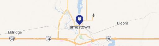
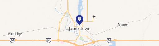
This exceptional 0.88-acre retail property presents a unique investment opportunity in Jamestown, North Dakota. Situated at 921 25th St SW, this grocery store pad benefits from its strategic location within a Walmart-anchored center, ensuring high visibility and significant foot traffic. The property's ideal location in Stutsman County, zip code 58401, offers easy access for residents and customers throughout the area. The site's 0.88-acre lot provides ample space for development or expansion of an existing grocery store operation. This property is classified as a retail space, specifically a grocery store, making it an attractive prospect for businesses seeking a well-established and high-traffic location. The coordinates for this property are latitude 46.8802608 and longitude -98.7231134. Given its prime location and the established presence of a major retailer, this property represents a strong investment opportunity with significant potential for growth and profitability. The property's classification as a grocery store within the retail sector further enhances its appeal to investors and businesses seeking a stable and high-demand market. This is a rare opportunity to acquire a well-positioned retail asset in a thriving North Dakota community. Serious inquiries are encouraged.
Property profile
VerifiedCap rate & NOI
Current use
-
Bank Loan Service
-
Physician
-
Tech Support Center (Bike/Boat/Book/etc) Store
-
Big Box & Wholesale Store
-
Check Cashing
Location
Value estimations
Owner & transaction history
Comparables
6 recent transactions · within 1.5 miComparable in this City


Similar Nearby for Sale



Similar Nearby for Lease


Value estimation
Instant AI valuation built from comps, income signals, and proprietary benchmarks. A defensible range, not a single guess.
from $99/month
Cap rate
Cap rate calculated from real income and expense signals, benchmarked against sales of similar assets nearby.
from $99/month
Price sensitivity
The rate is the decision lever; valuation is the consequence.
Property tax & assessments
Property description
Physical attributes from public recordsZoning & alternative use
Zoning
The recorded zoning designation, what the district officially allows, and the municipal source it comes from.
No zoning code is on file for this parcel. Zoning coverage grows with every catalog release — check back, or open Location Intelligence for use analysis of this corner.
Find the owner behind the property.
Unlock the evidence behind ownership: portfolio, transactions, debt and signals that help you decide who to contact next.
Registration is required before any owner information is shown.
- Full Property Data
- Historical Records
- Value Estimation
- NOI Potential
- Cap Rate Calculation
- Ownership
- Location Insight
- Alternative use
- Local Zoning Insight
Cancel anytime.
- 30 reports a month
- Location Analytics
- Market Trends
- Full Property Data
- Historical Records
- Value Estimation
- NOI Potential
- Cap Rate Calculation
- Ownership
- Location Insight
- Alternative use
- Local Zoning Insight
Cancel anytime.
- 300 reports a month
- Location Analytics
- Market Trends
- Full Property Data
- Historical Records
- Value Estimation
- NOI Potential
- Cap Rate Calculation
- Ownership
- Location Insight
- Alternative use
- Local Zoning Insight
and get 1 Light Report
- Property Information
- Historical Records
- Value Estimation
- NOI Potential
- Cap Rate Potential
- Location Insight
- Alternative use
- Local Zoning Insight


