92 Bishop Brook Road, Stewartstown, NH 03576


- Added:
- Nov 17, 2025
- Days on Market:
- 200
- Last Refresh:
- Jun 5 at 9:06 pm
Property Features for 92 Bishop Brook Road
General Information
- Property type
- Land
- Property subtype
- Other
- Zoning
- R1
- Standard status
- Active
- Lot size
- 245.00 Acres
Taxes and HOA fees
- Tax Year
- 2025
- Tax Annual Amount
- 2827
Utilities
- Water source
- Spring
Listing agent Kristie Champagne (603) 237-4400
Listing office Raymond E. Davis Real Estate 20 Sunset Drive, Colebrook, NH (603) 237-4400
Listing date Nov 17, 2025
Copyright © 2026 PrimeMLS. All rights reserved. All information provided by the listing agent/broker is deemed reliable but is not guaranteed and should be independently verified.
HighLights
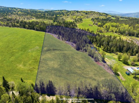
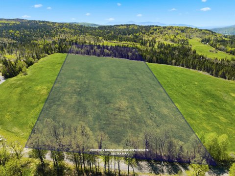
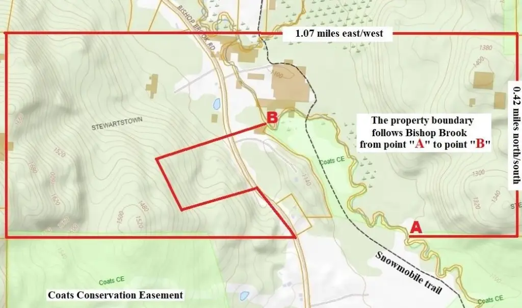
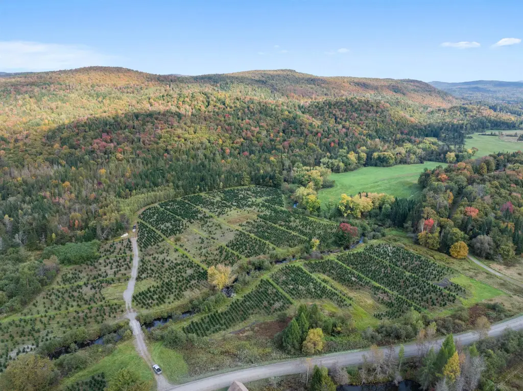
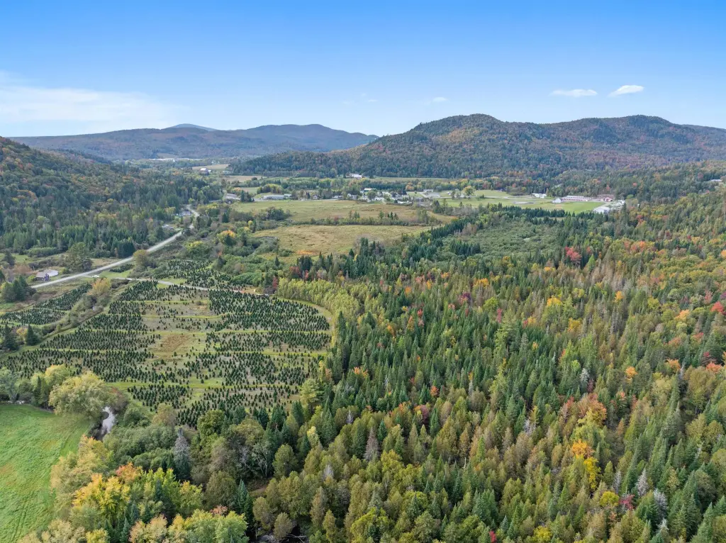
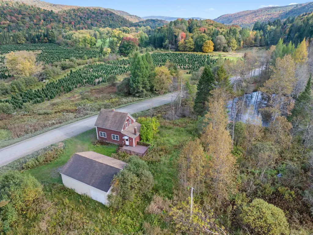
- 3/4 share of 245+/- acres on Bishop Brook Rd
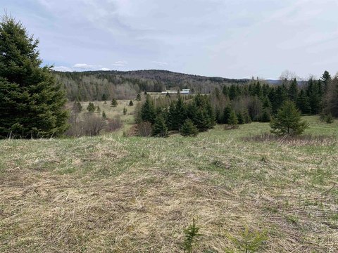
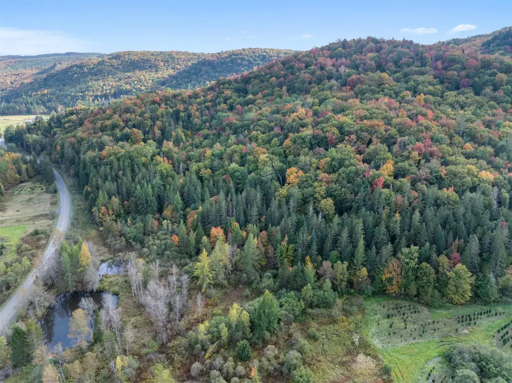
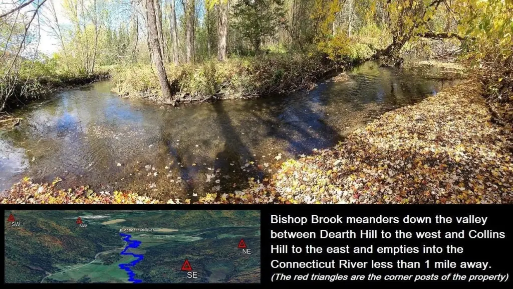
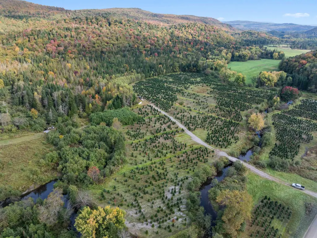
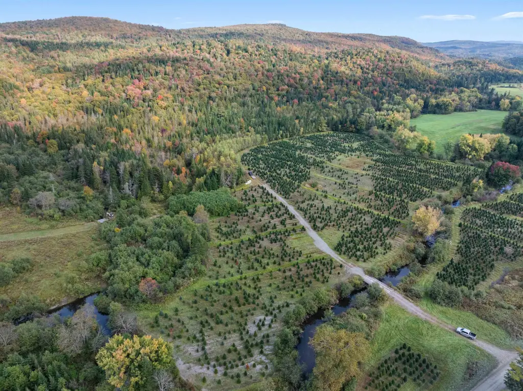
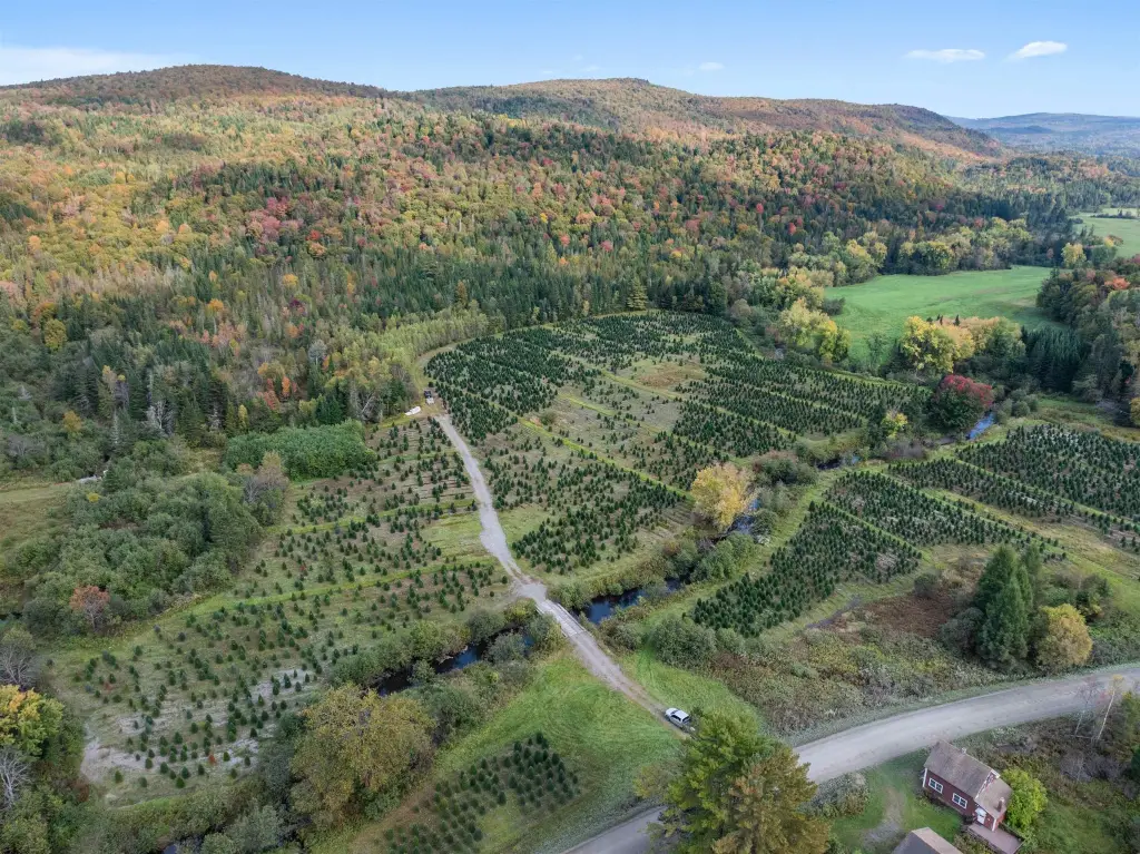
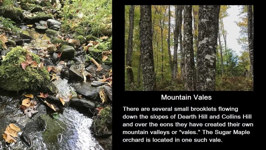
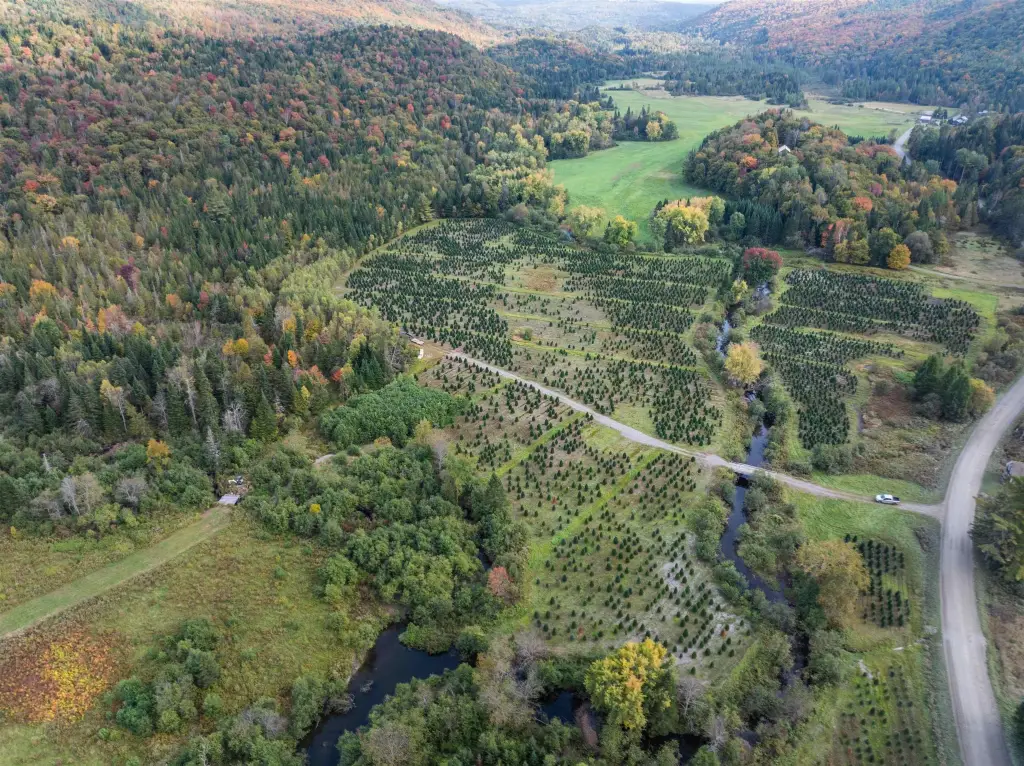
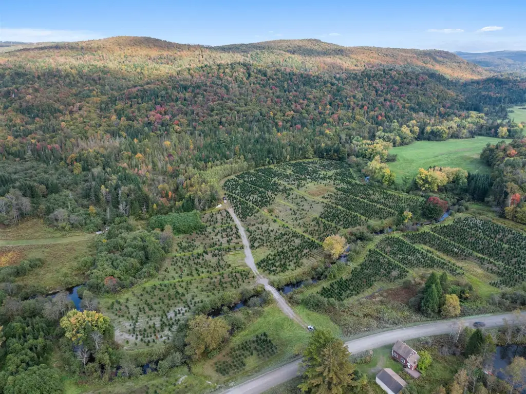
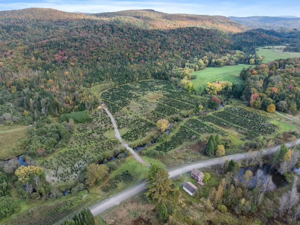
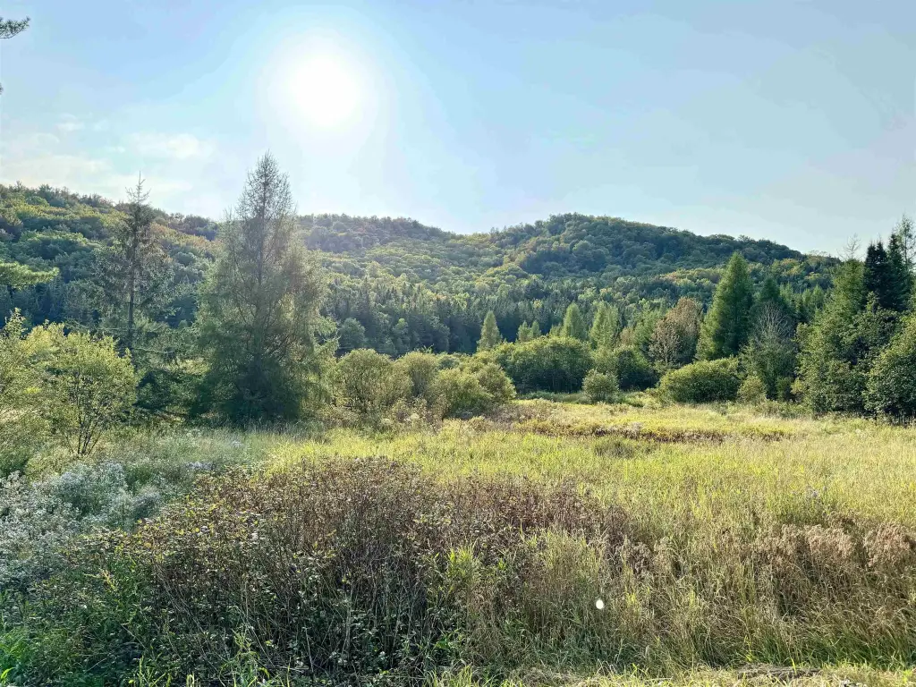
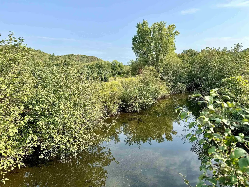
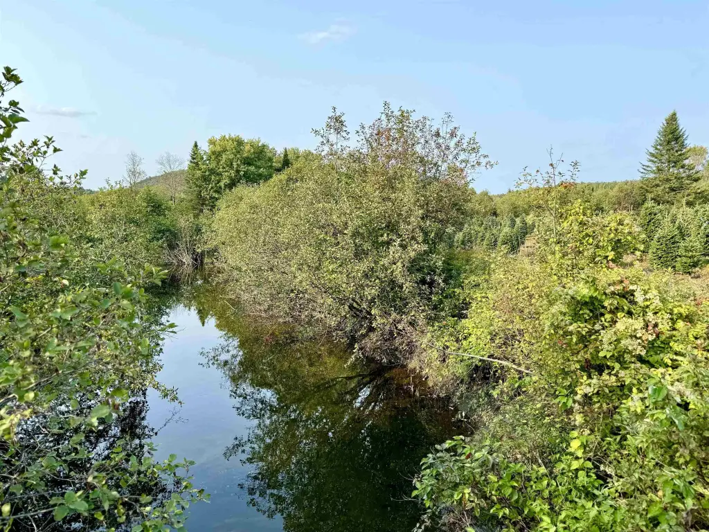
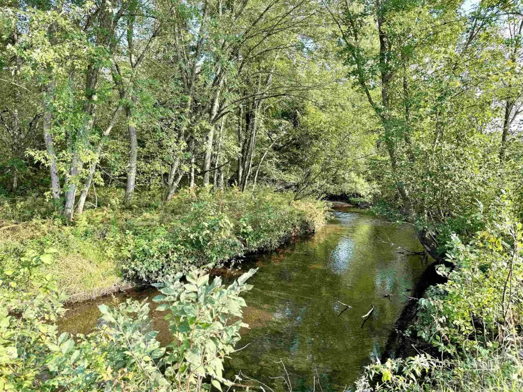
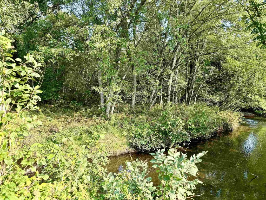
- Bishop Brook runs through the property for 0.80+/- mile; includes trout fishing
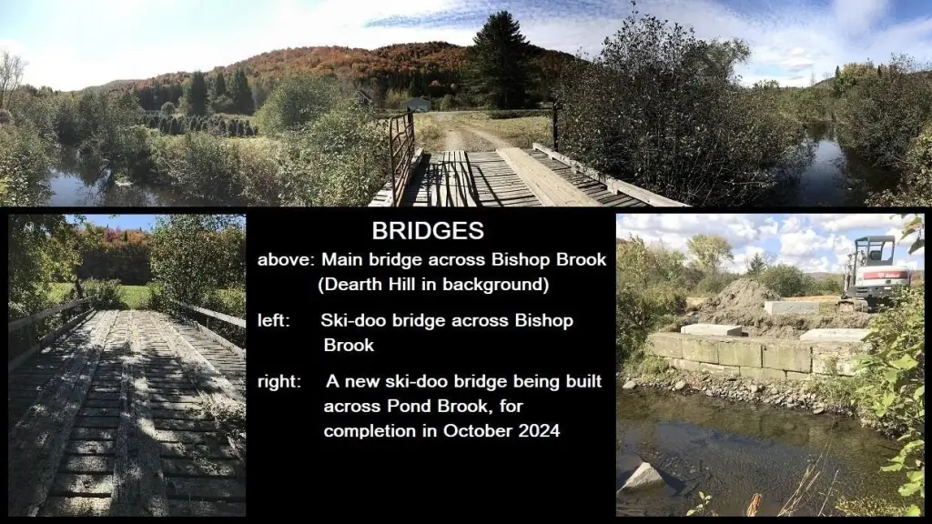
- Outdoor access features three well‑constructed bridges over Bishop Brook and Pond Brook
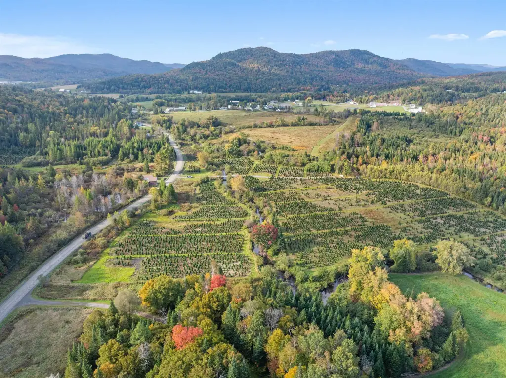
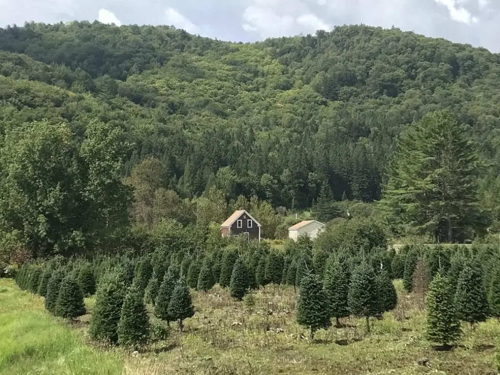
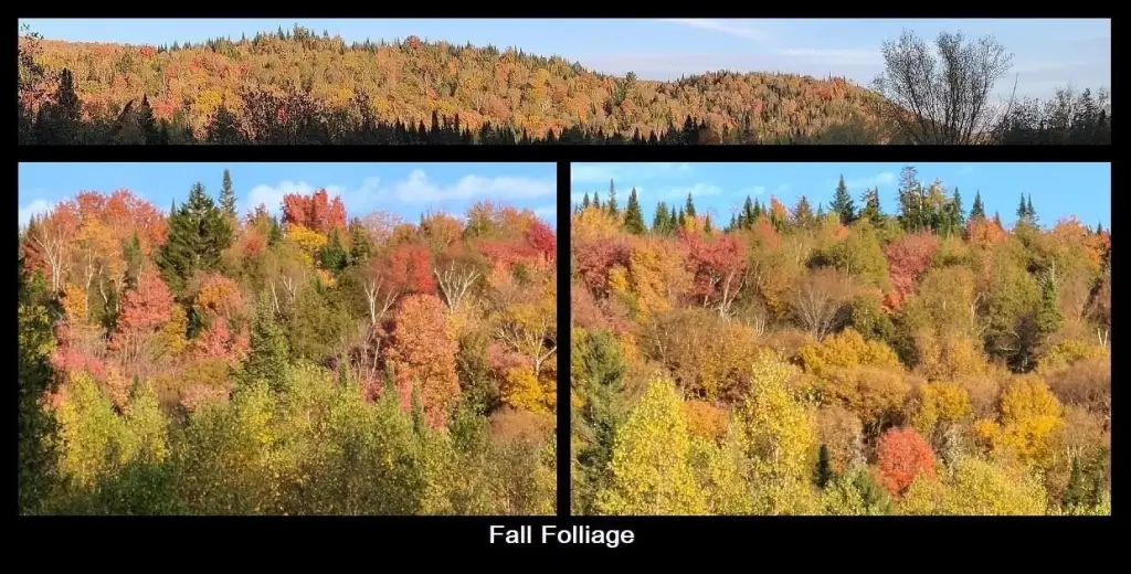
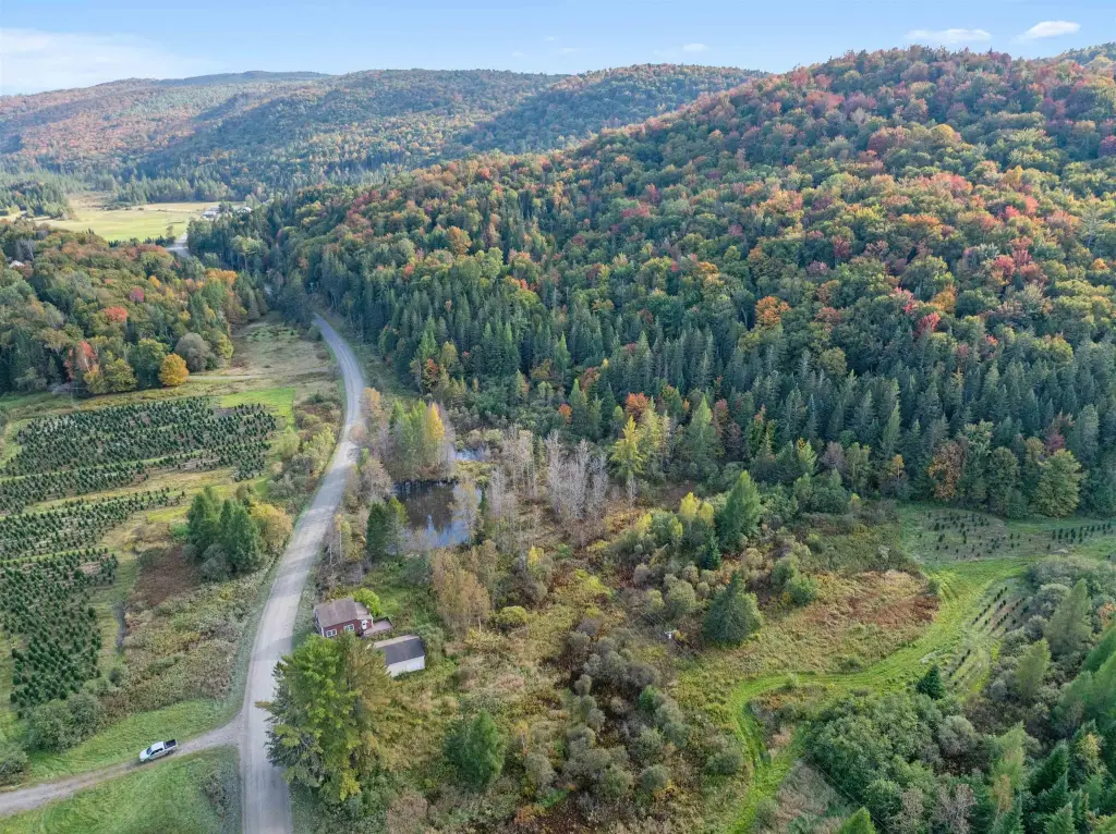
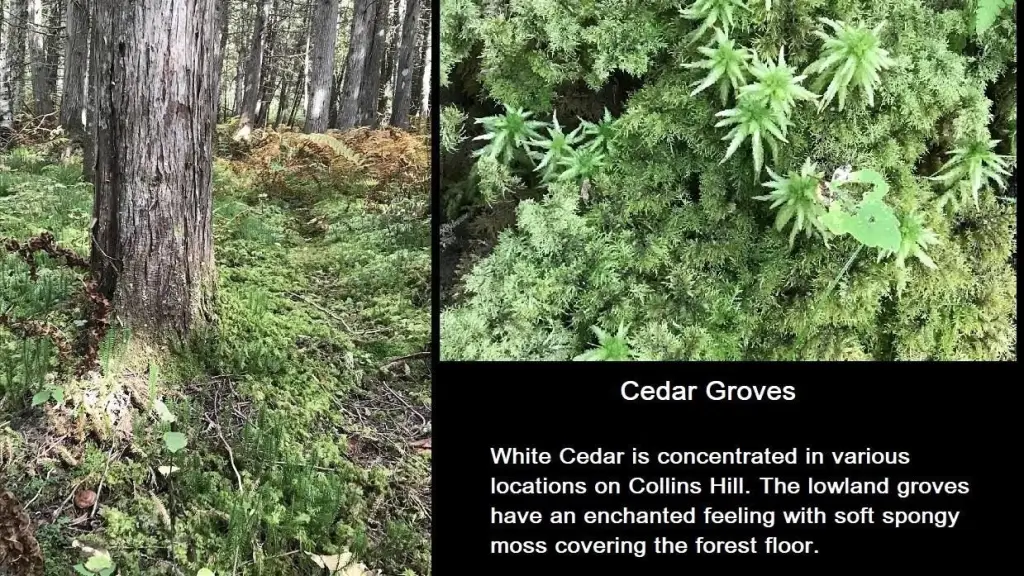
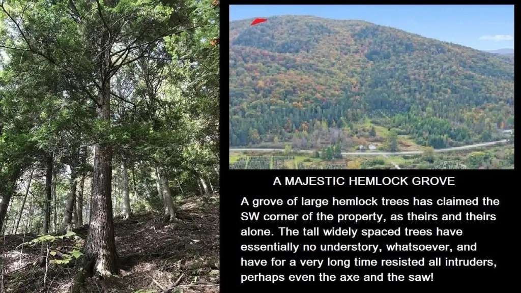
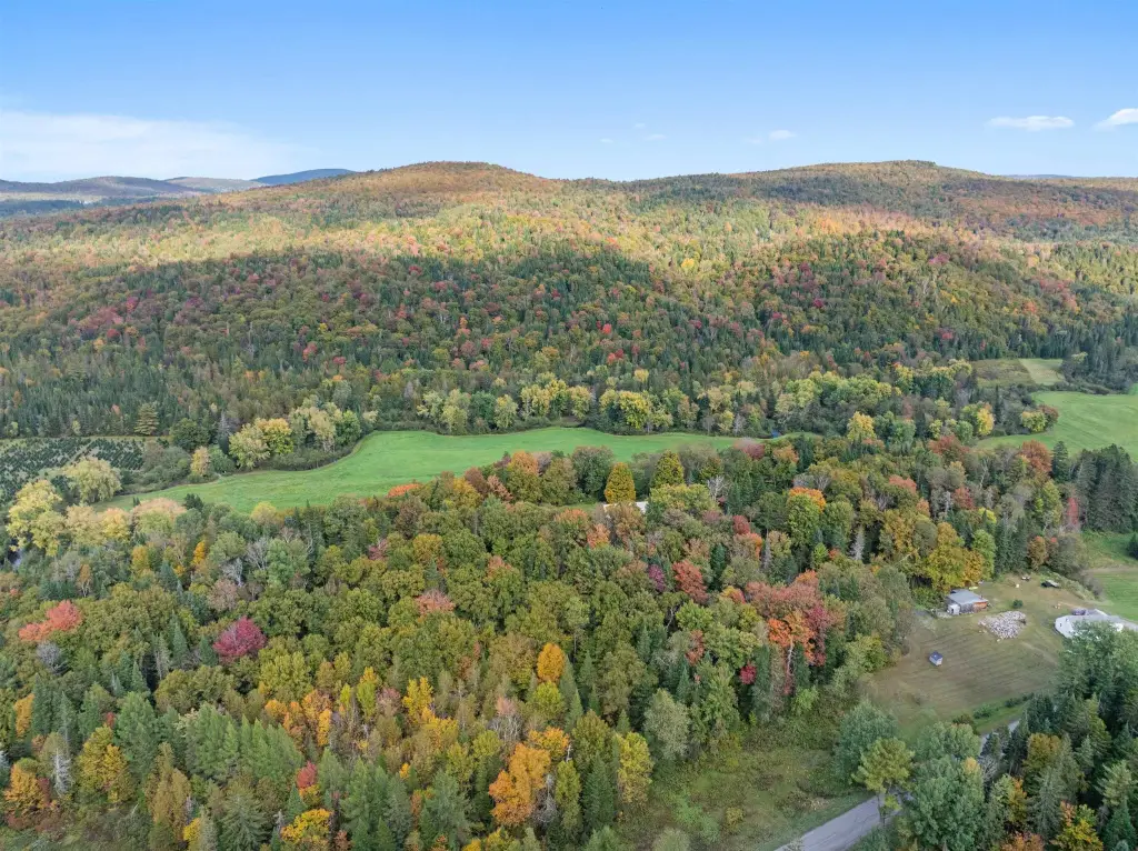
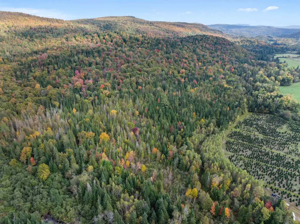
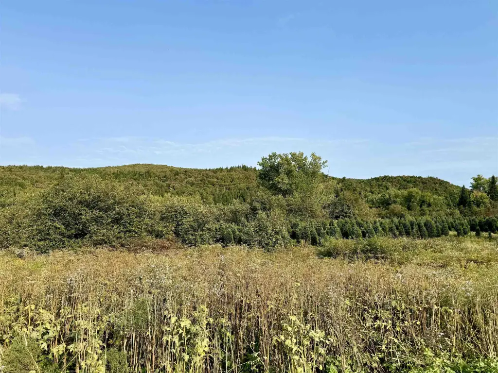
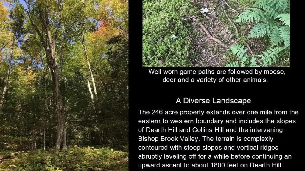
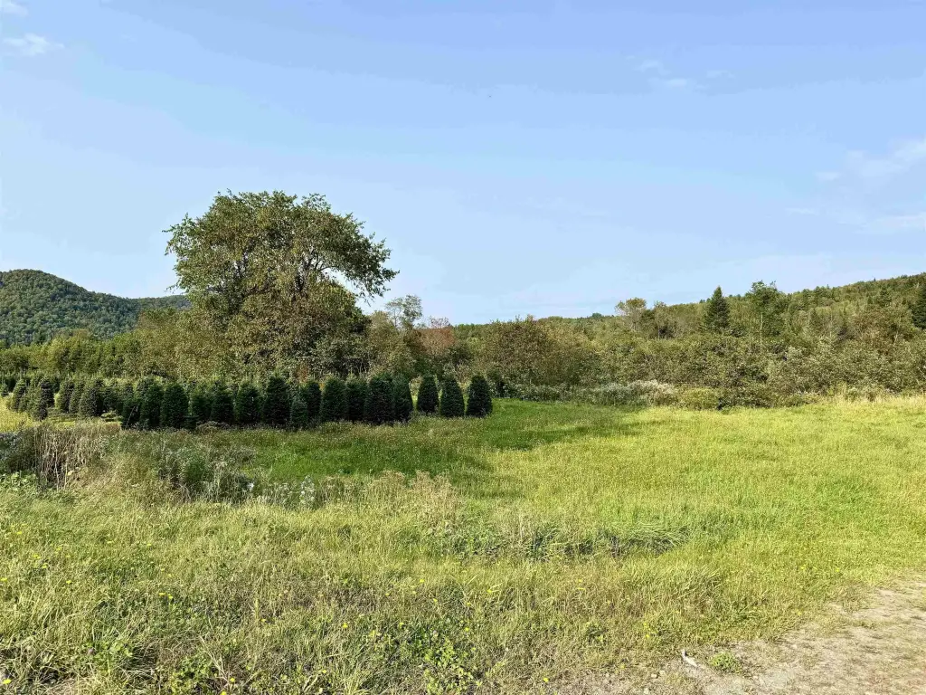
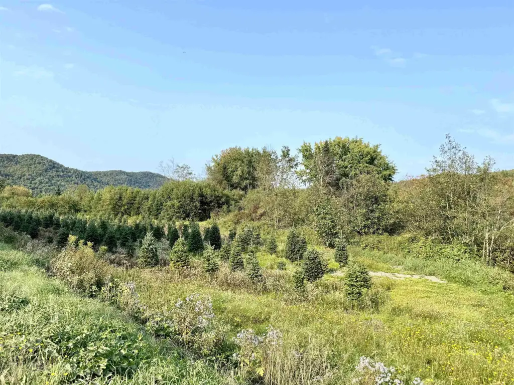
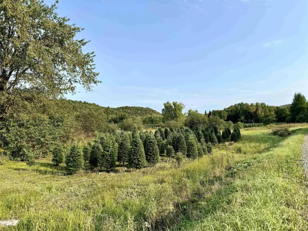
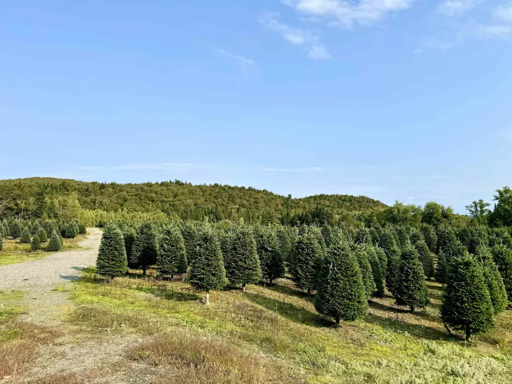
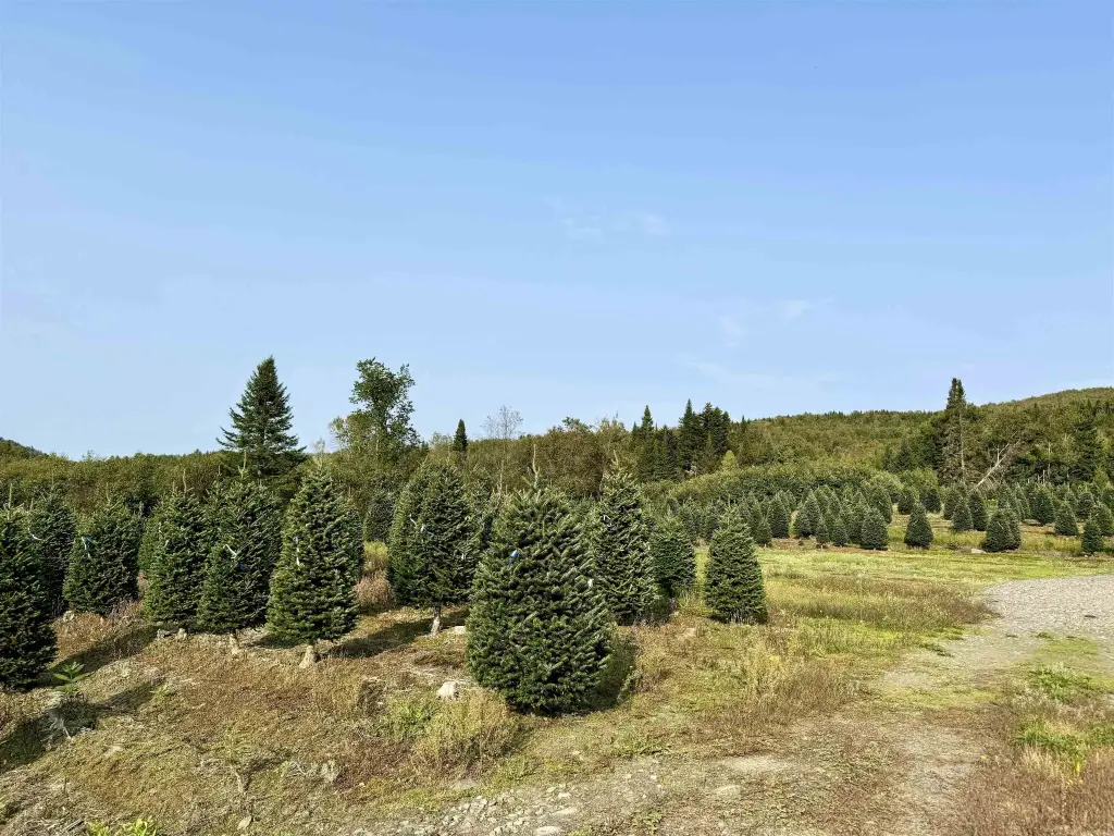
- Diverse hardwood forest with abundant maple; only selective timbering done over 22 years ago
- Borders 313+/- acres protected under a conservation grant managed by NH Fish & Game
- Snowmobile trail crosses directly through the property; less than 1 mile to the Connecticut River
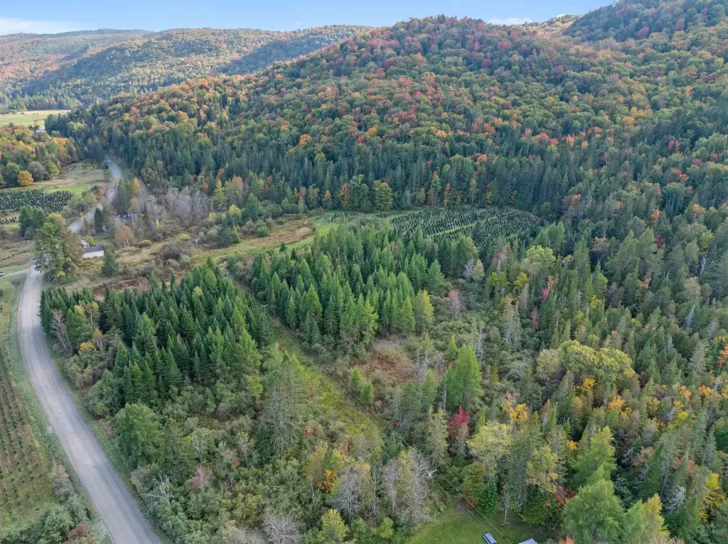
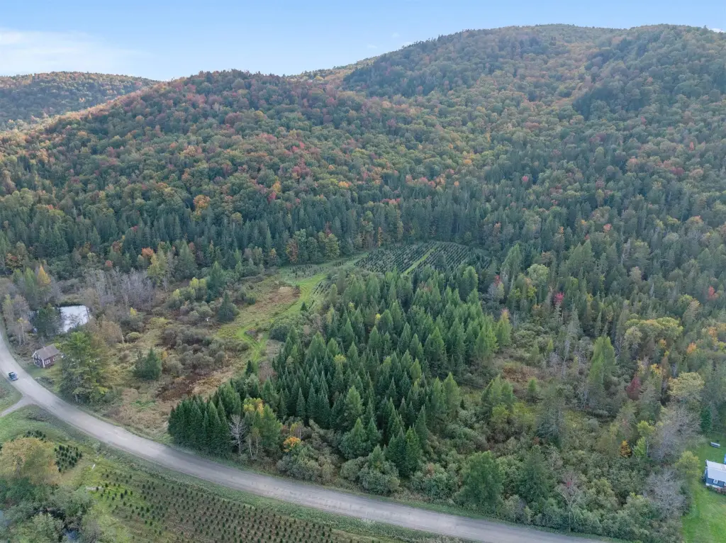
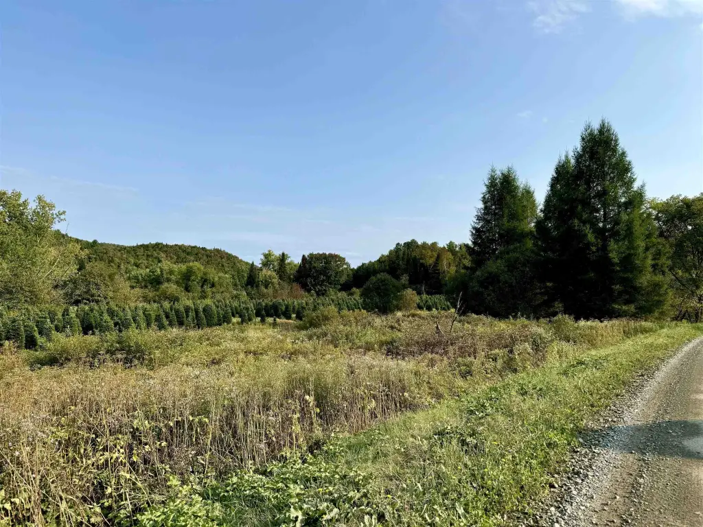
Overview
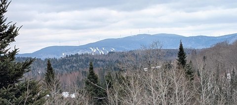
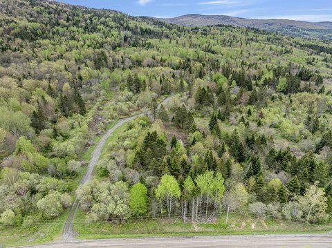
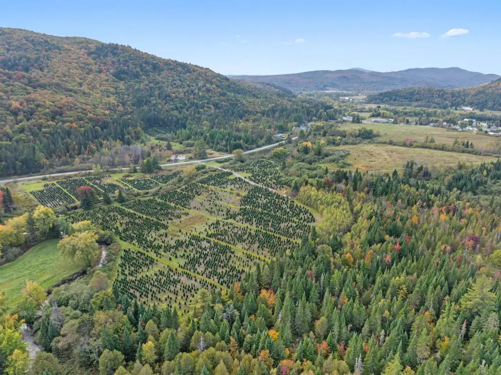
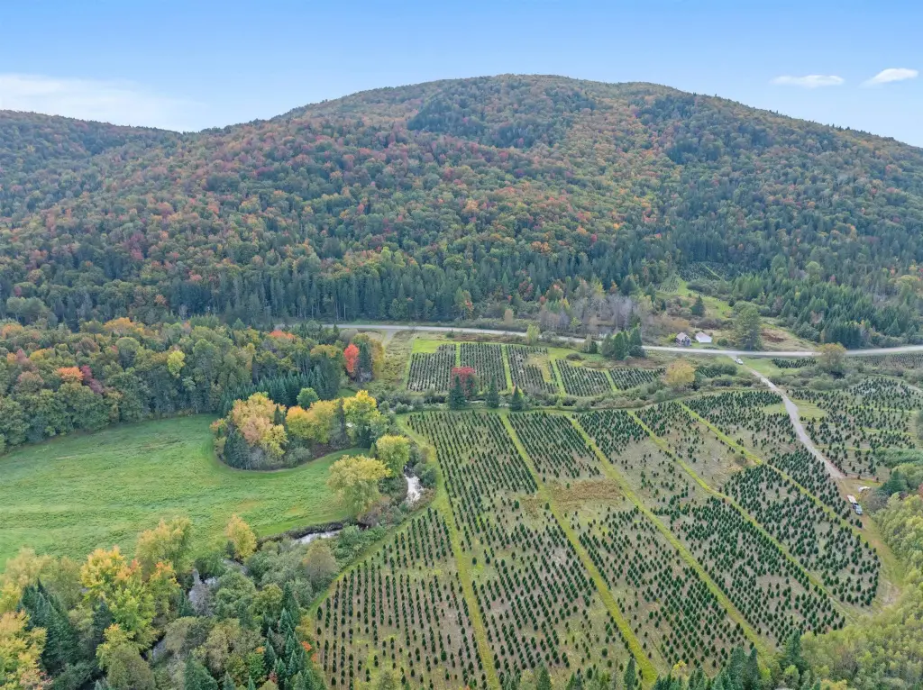
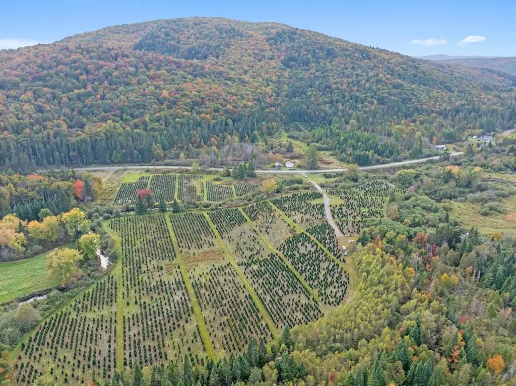
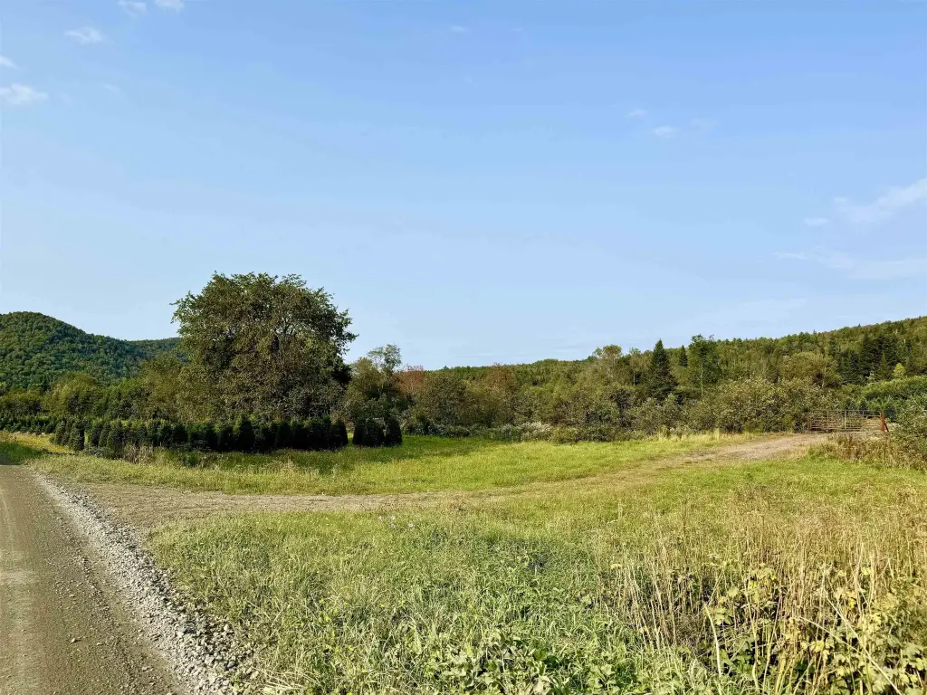
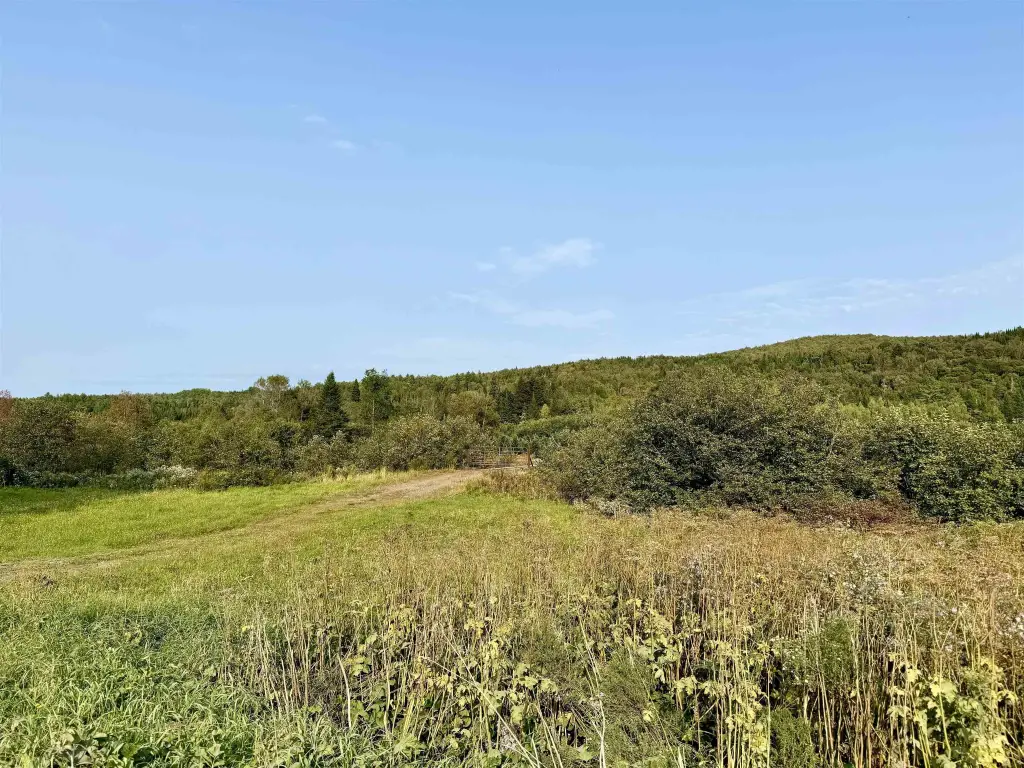
The property is accessed via Bishop Brook Road. Three well-constructed bridges provide crossings over Bishop Brook and Pond Brook, improving on-site circulation for exploration and use. A snowmobile trail crosses directly through the property, supporting convenient winter access. To the south, the parcel borders approximately 313+/- acres protected under a conservation grant managed by NH Fish & Game, creating long-term preservation of adjacent wilderness.
With a mix of woodland and water features, this land can fit a range of outdoor-oriented uses, including hiking, hunting, fishing, and horseback riding. The listing also states the property’s proximity to the Connecticut River, 1st Connecticut Lake, and the Canadian Border, supporting year-round recreational planning. Zoning is listed as R1.
Current Use by Public Records
Map
- City
- Stewartstown
- County
- Coos
- State
- New Hampshire
- Longitude
- -71.482077
- Latitude
- 44.99363186