39°08'30.6"N Milford, OH 45150
Call to check price and availability
Prime Milford, Ohio development land. Mixed-use potential.
Property Features for 0 39°08'30.6"N
General Information
- Property type
- Land
- Lot Size
- 3,833,280 SF

Listing Agency: The Schueler Group Listing Agent: Joe Kramer
Displayed information is deemed reliable but is not guaranteed and should be independently verified.
Overview
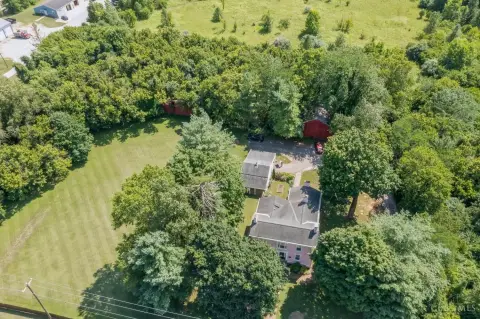
This exceptional 88-acre property in Milford, Ohio, presents a unique mixed-use development opportunity. Located in Clermont County (zip code 45150), the land boasts a prime location with convenient access to US-50. The site is zoned for commercial and retail use, offering significant potential for a variety of developments. Utilities are readily available, including Clermont County sewer and water service with substantial capacity, Duke Energy electric and gas service directly on-site. The flat areas are ideal for commercial and retail development along US-50, while the hillside provides an excellent location for residential construction. This development benefits from the absence of local income tax and the availability of tax incentives from Miami Township. The property's size and diverse zoning make it suitable for a large-scale project combining commercial, industrial, and residential components. This is a rare opportunity to acquire a substantial parcel of land with significant development potential in a desirable Ohio location. The property offers substantial capacity for utilities and is ready for immediate development. The combination of convenient location, available utilities, and tax incentives makes this an attractive investment.
Property Profile
Location Intelligence
Current Use by Public Records
Commercial real estate
Map
- City
- Milford
- County
- Clermont
- State
- Ohio
- Longitude
- -84.23754
- Latitude
- 39.14404
Nearby Similar for Sale


FAQs
What type of property is this?
Land - Prime Milford, Ohio development land. Mixed-use potential.
Where is this land located?
The property is located at 39°08'30.6"N Milford, OH.
What are key features of this property?
This property features: 88-acre mixed-use development site in Milford, OH (45150), with utilities available.; No local income tax.; Tax incentives available from Miami Township.
