Raw Agricultural Recreation
827022 West Star Peak Road Imlay, NV 89418
827022 West Star Peak Road, Imlay, NV, 89418
$33,000
For Sale
$33,000
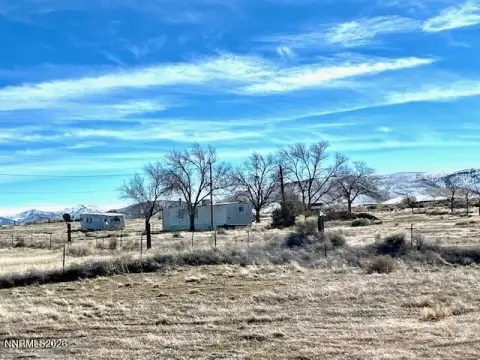
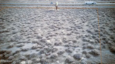
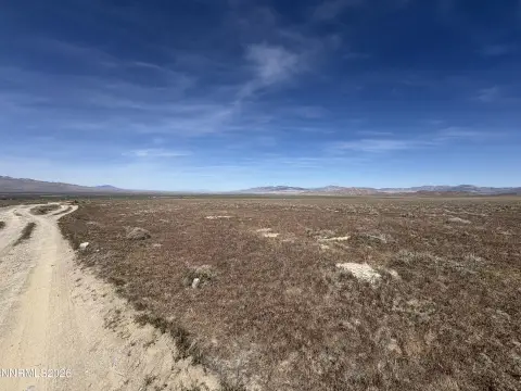
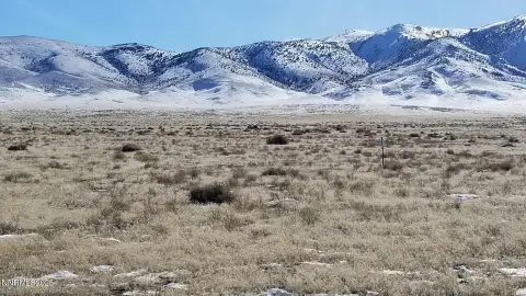
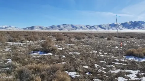
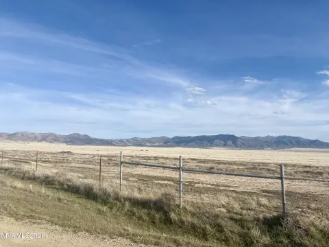
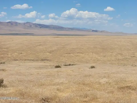
43+ acres of raw land zoned AMR, located south of Interstate 80 with access from nearby dirt roads.
Property Size1,887,454 SF
Lot Size43.33 Acres
Price / SF$0.02
Days on Market283
Property Features for 827022 West Star Peak Road
General Information
- Standard status
- Active
- Size
- 1,887,454 SF
- Lot size
- 43.33 Acres
- Property subtype
- Land
Listing agency
Desert Acreage
(775) 835-3825
Listed by
Robert Kennerson · License #B.1002112OWNER-BROKER
(775) 835-3825
Source
Compass
Added: Oct 14, 2025 Updated: Jul 22 at 11:42PM Checked: Jul 22 at 11:42PM
Displayed information is deemed reliable but is not guaranteed and should be independently verified. All listing content including descriptions, pricing, images are the copyrighted material of Desert Acreage
Investment Insights
Based on property information with market context.
This offering presents approximately 43.33+ acres of raw open country land in Pershing County. The property is described as off-grid and suitable for a range of uses consistent with its AMR zoning, which includes agriculture, mining, and recreation, subject to applicable permitting requirements. Utilities are not described as installed on-site; water is typically via a private well and sewage disposal via a private septic tank, with propane delivery available locally. Electric lines are noted to both the north and east of the property within less than a mile.
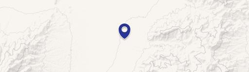
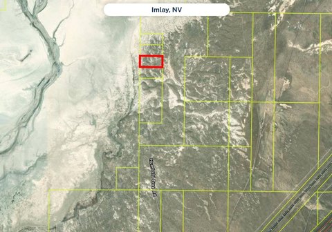
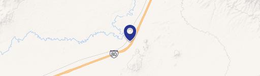
The site is located south of Interstate 80 with easy access to the Imlay freeway interchange to the west and the Mill City interchange to the east. Multiple very lightly traveled dirt roads pass by the area from both the east and the west, and West Star Peak Road runs by the southwest corner of the property. The nearest Interstate 80 interchange is within a 5+-minute drive.
The property is offered as-is, where-is, with buyers responsible for their own due diligence regarding development possibilities and utility requirements. One or more adjacent parcels may be available if additional acreage is desired; please inquire. APN 008-270-22 is associated with GPS coordinates 40.65056, -118.11500.
The site is located south of Interstate 80 with easy access to the Imlay freeway interchange to the west and the Mill City interchange to the east. Multiple very lightly traveled dirt roads pass by the area from both the east and the west, and West Star Peak Road runs by the southwest corner of the property. The nearest Interstate 80 interchange is within a 5+-minute drive.
The property is offered as-is, where-is, with buyers responsible for their own due diligence regarding development possibilities and utility requirements. One or more adjacent parcels may be available if additional acreage is desired; please inquire. APN 008-270-22 is associated with GPS coordinates 40.65056, -118.11500.
Key Highlights
- 43.33± acres of raw land near Imlay and Mill City, located south of Interstate 80
- Zoned AMR (agriculture, mining, recreation), with potential for home building and other uses subject to permitting
- Off‑grid setting with private well for water and private septic tank for sewage disposal
Property Analytics
Location Intelligence
Current Use by Public Records
Recreation land
Similar For Sale Nearby
FAQs
What type of property is this?
Recreation land - 43+ acres of raw land zoned AMR, located south of Interstate 80 with access from nearby dirt roads.
Where is this recreation land located?
The property is located at 827022 West Star Peak Road Imlay, NV.
What is the asking price?
The asking price for this property is $33,000.
What are key features of this property?
This property features: 43.33± acres of raw land near Imlay and Mill City, located south of Interstate 80; Zoned AMR (agriculture, mining, recreation), with potential for home building and other uses subject to permitting; Off‑grid setting with private well for water and private septic tank for sewage disposal


