Adjacent Flat Golf Course Land
For Sale
$599,900
812/816 River Bend Drive, West Glacier, MT 59936
Land, West Glacier, MT
Property SizeContact for details
Lot Size0.92 Acres
Days on Market126
Property Features for 812/816 River Bend Drive
General Information
Property type
Land
Property subtype
Other
Zoning description
Middle Canyon
Subdivision
West Glacier Golf Sites
Elementary school district
District No. 8
Middle school district
District No. 8
High school district
District No. 8
Directions
Head East on US Highway 2 E/MT40 toward West Glacier, turn Left onto River Bend Dr. Property on Left, Golf course side
Standard status
Active
APN
07440626307090000
Lot size
0.92 Acres
Taxes and HOA fees
Tax Year
2025
Tax Description
WEST GLACIER GOLF SITES, S26,T32N,R19W,LOT 009, LOT 010 2nd Assr#: 0000050230
Tax Annual Amount
213
Legal Description
WEST GLACIER GOLF SITES, S26,T32N,R19W,LOT 009, LOT 010 2nd Assr#: 0000050230
Listing Agency:
Keller Williams Realty Northwest Montana
(406) 752-4700
Listed By:
Michelle Weed · License #RRE-RBS-LIC-88846
(406) 261-6505
Added: Apr 18
Changed: Aug 20
Last Checked: Aug 21 at 3:06AM
MLS# 30068982
Copyright © 2026 Montana Regional MLS. All rights reserved. All information provided by the listing agent/broker is deemed reliable but is not guaranteed and should be independently verified.
Investment Insights
Based on property information with market context.
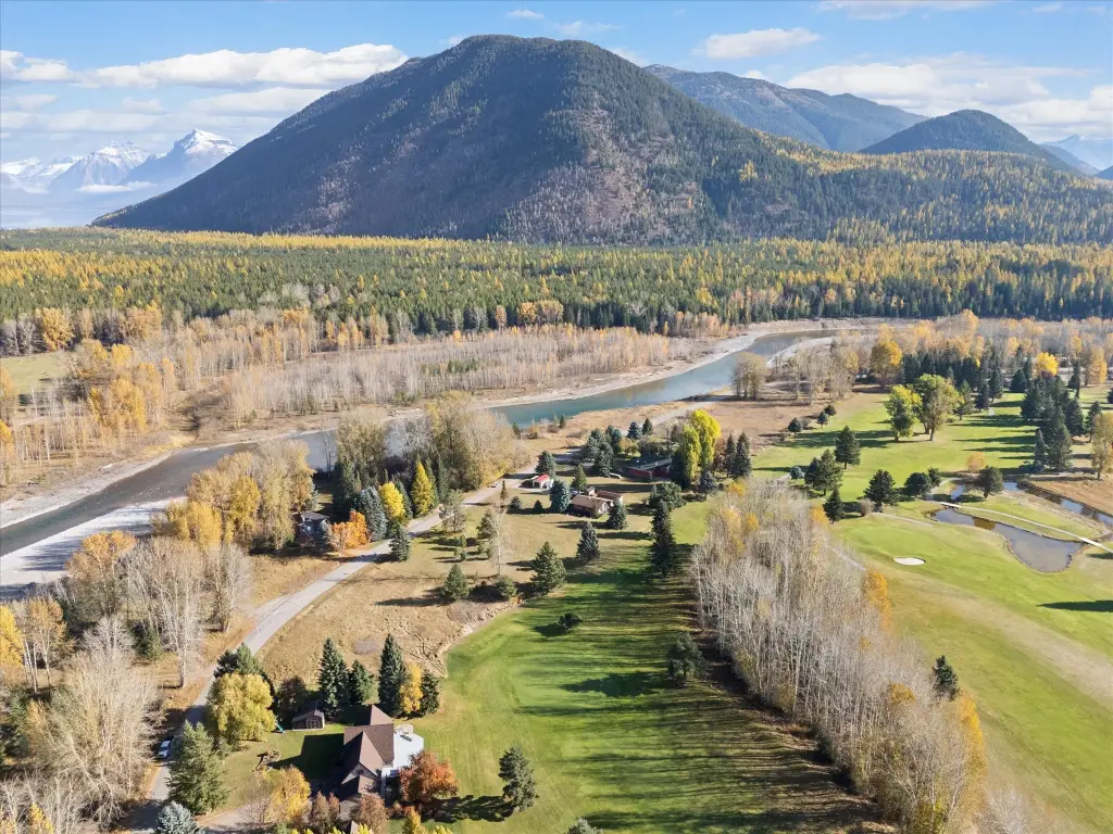
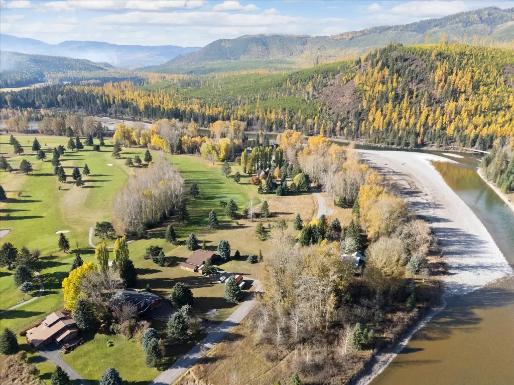
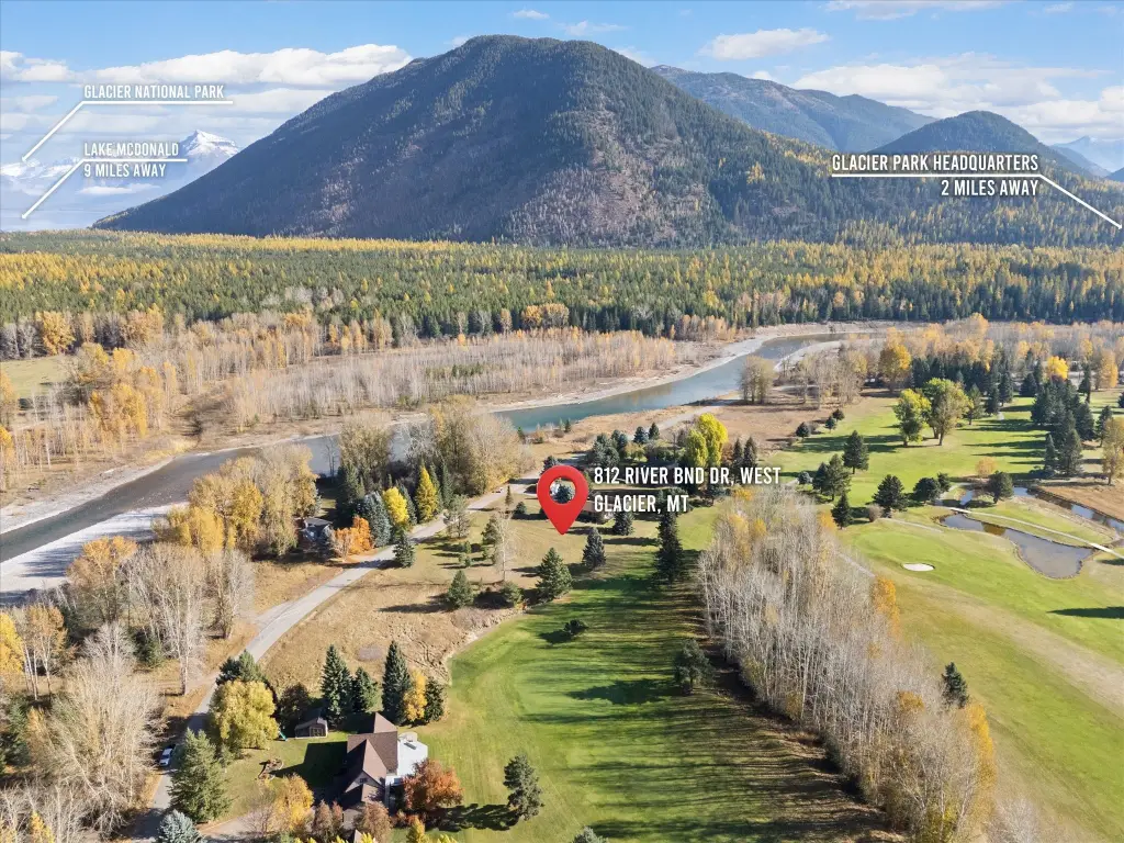
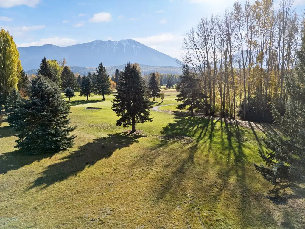
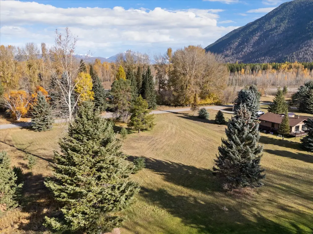
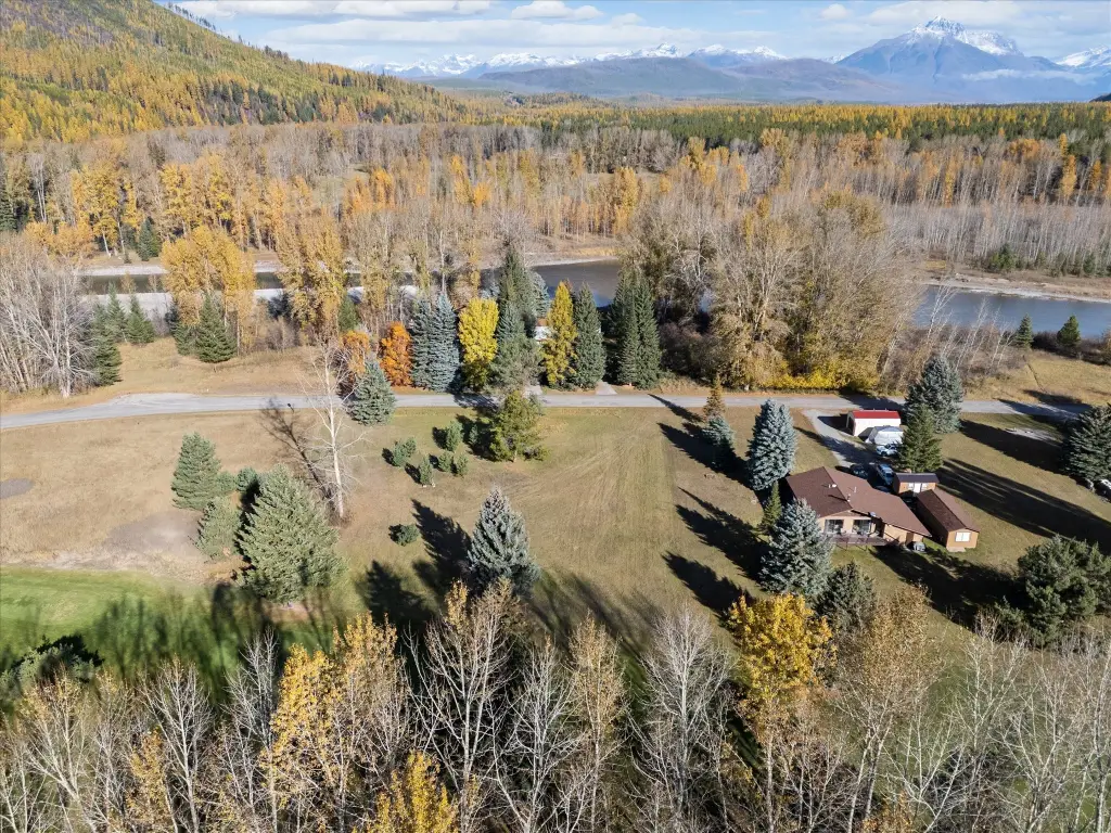
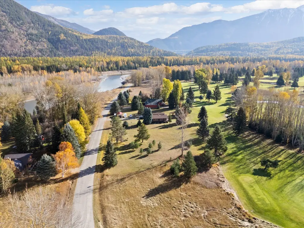
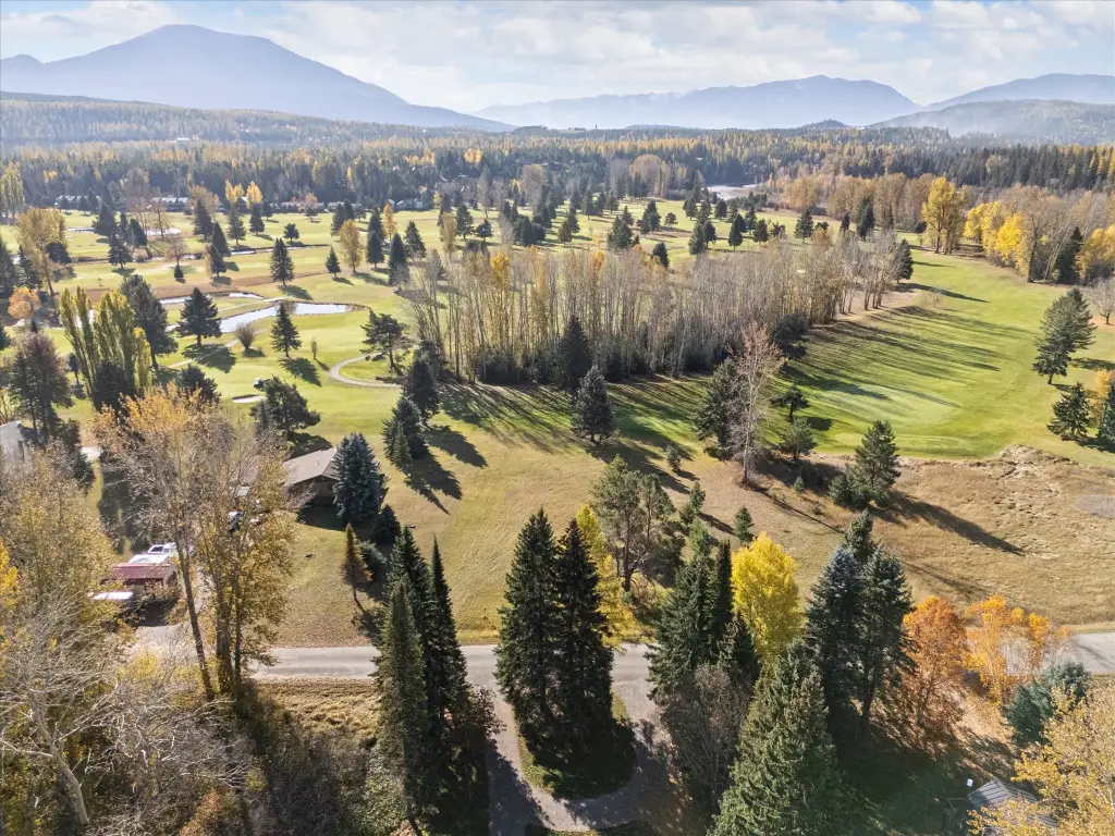
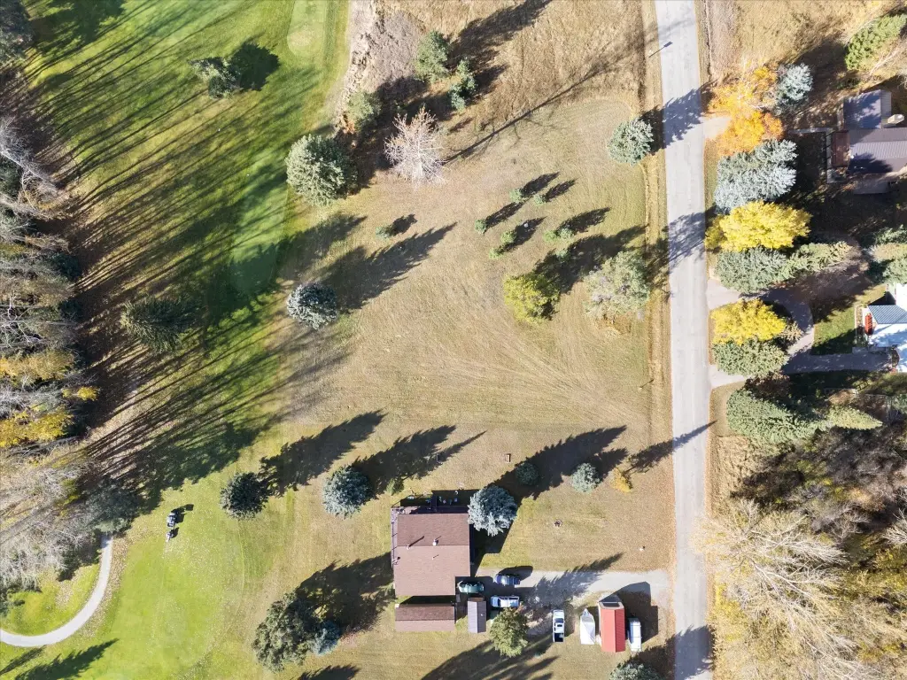
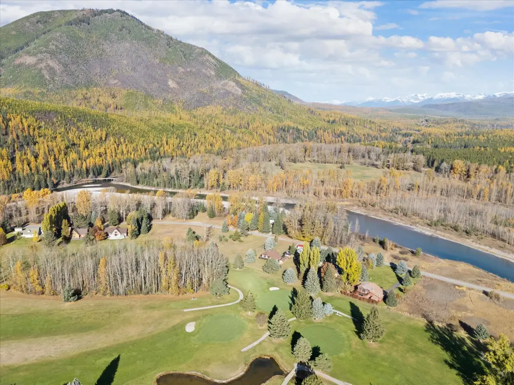
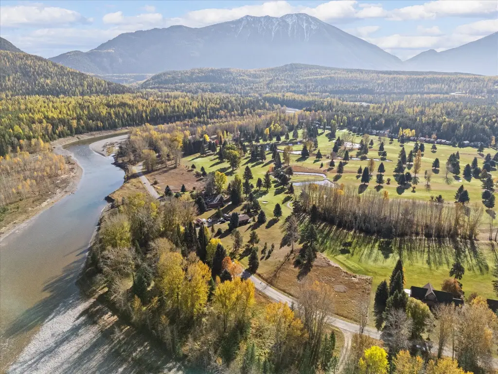
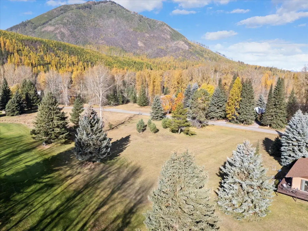
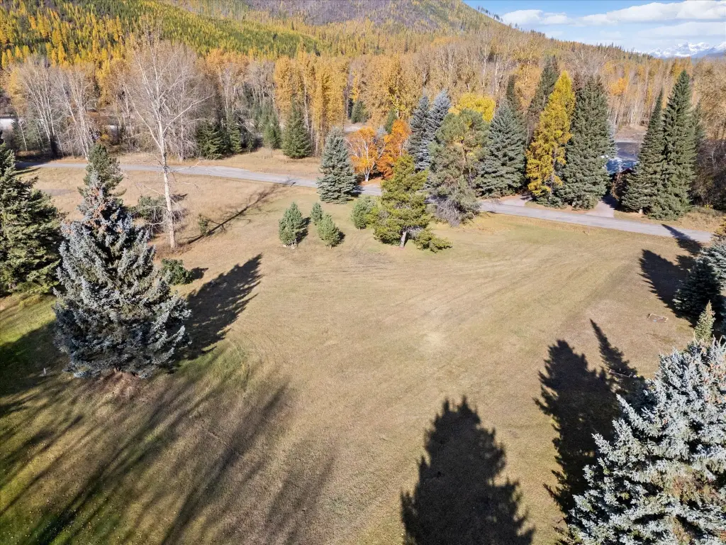
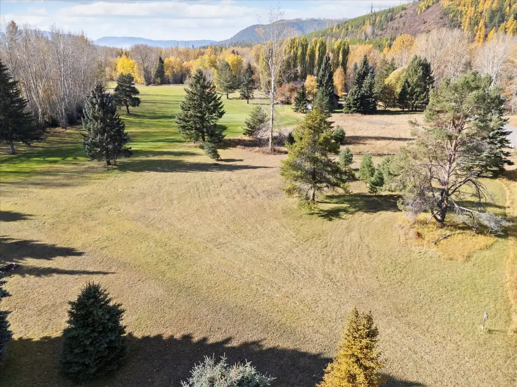
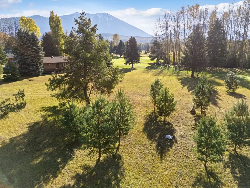
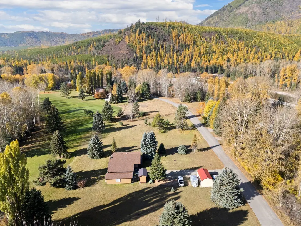
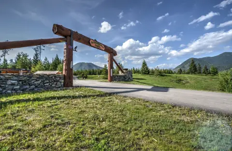
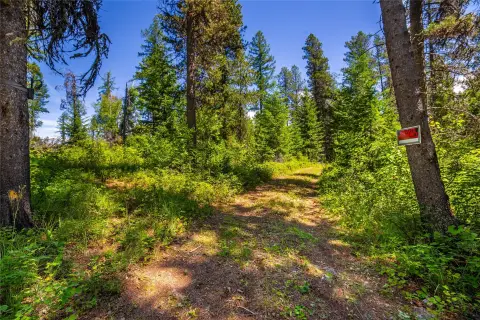
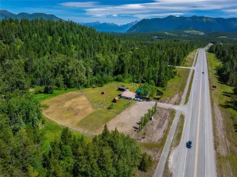
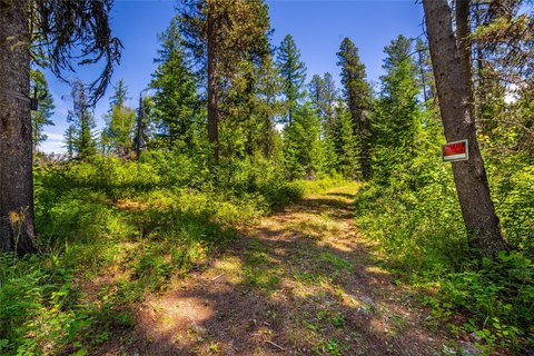
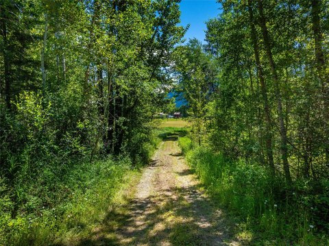
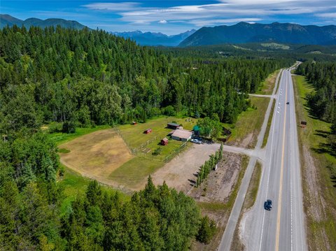
Offered for sale are two adjacent, flat land parcels totaling 0.92 acres. The parcels are situated directly on Hole 5 of the Glacier View Golf Course, providing an outdoor setting for a future home or recreational retreat.
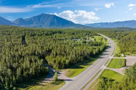
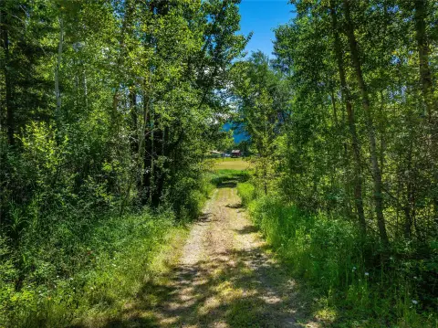
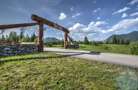
A paved, year-round road provides access, and electricity is indicated as nearby. Please note that 812/816 River Bend Drive is located in the 100-year floodplain, an important consideration for any development or use planning.
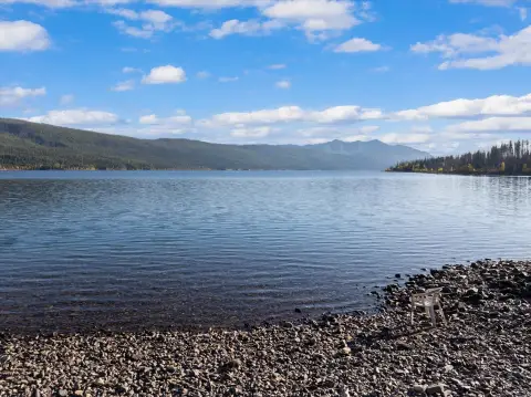
The property is positioned to support an active lifestyle, with access to outdoor recreation in the surrounding Glacier National Park area described in the remarks.
A paved, year-round road provides access, and electricity is indicated as nearby. Please note that 812/816 River Bend Drive is located in the 100-year floodplain, an important consideration for any development or use planning.
The property is positioned to support an active lifestyle, with access to outdoor recreation in the surrounding Glacier National Park area described in the remarks.
Key Highlights
- Two adjacent flat parcels totaling 0.92 acres at 812/816 River Bend Dr.
- Located directly on Hole 5 of the Glacier View Golf Course with fairway views.
- Electricity is located nearby, and parcels have access via a paved, year‑round road.
Property Analytics
Property Profile
Current Use
Lease Details
Yes
Paved road access
Location Intelligence
Trade Area within ½ mile
7
Businesses Nearby
Explore this area
Business Placement
Demographics for 59936, MT
392
Population
480
Households
0.8
Avg Household Size
56
Median Age
49%
College-Educated
98%
High-School Grad
1,480.1 sq mi
ZIP Area
$87,031
Median Household Income
$35,083
Median Earnings
$798
Median Rent
$562,500
Median Home Value

Questions? Ask Rey
Realmo’s AI knows this listing — price, zoning, demand, history. Ask anything.

Frequently Asked Questions
What type of property is this?
Residential land & home lot - Two adjacent flat parcels totaling 0.92 acres sit directly on Hole 5 of Glacier View Golf Course, with paved year-round road access.
Where is this residential land & home lot located?
The property is located at 812/816 River Bend Drive West Glacier, MT.
What is the asking price?
The asking price for this property is $599,900.
What are key features of this property?
This property features: Two adjacent flat parcels totaling 0.92 acres at 812/816 River Bend Dr.; Located directly on Hole 5 of the Glacier View Golf Course with fairway views.; Electricity is located nearby, and parcels have access via a paved, year‑round road.


