Rural Homesite with Well and
For Sale
$119,000
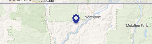
781 H HWY 395, Kettle Falls, WA 99141
LAND - KETTLE FALLS, WA
Property SizeContact for details
Lot Size6.20 Acres
Days on Market859
Property Features for 781 H HWY 395
General Information
Property type
Land
Property subtype
Other
Zoning description
Residential
Lot features
Pasture
View
Valley, Territorial
Directions
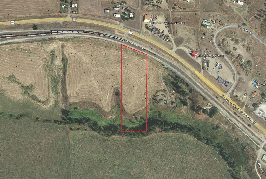
Hwy 395 one mile East of Kettle Falls on South side of the road. Cross the railroad tracks, take an immediate right and hug the track as you are going west down the gravel road. Turn left at the driveway with the big tree and take the immediate right after you go through the fence. Follow the gravel road on the south side of the fence, to the RE signs.
Subdivision
S8 - Middle County Northwest
Standard status
Active
APN
1928455
Lot size
6.20 Acres
Taxes and HOA fees
Tax Year
2024
Tax Description
S OF R/W PSH #3 W2 E2 NW4 NW4 (SP 94-98-3)
Tax Annual Amount
88
Legal Description
S OF R/W PSH #3 W2 E2 NW4 NW4 (SP 94-98-3)
Utilities
Water source
Well
Listing Agency:
WINDERMERE KETTLE FALLS
(509) 738-6521
Listed By:
DEBBIE BAKER · License #106797
(509) 993-6357
Added: Apr 25, 2024
Changed: Aug 12
Last Checked: Aug 31 at 2:06PM
MLS# 43308
Copyright © 2026 Northeast Washington Association of Realtor MLS. All rights reserved. All information provided by the listing agent/broker is deemed reliable but is not guaranteed and should be independently verified.
Investment Insights
Based on property information with market context.
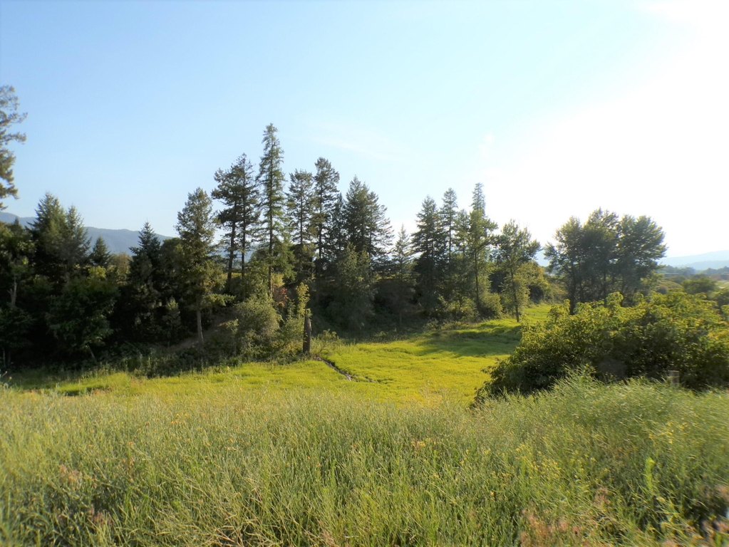
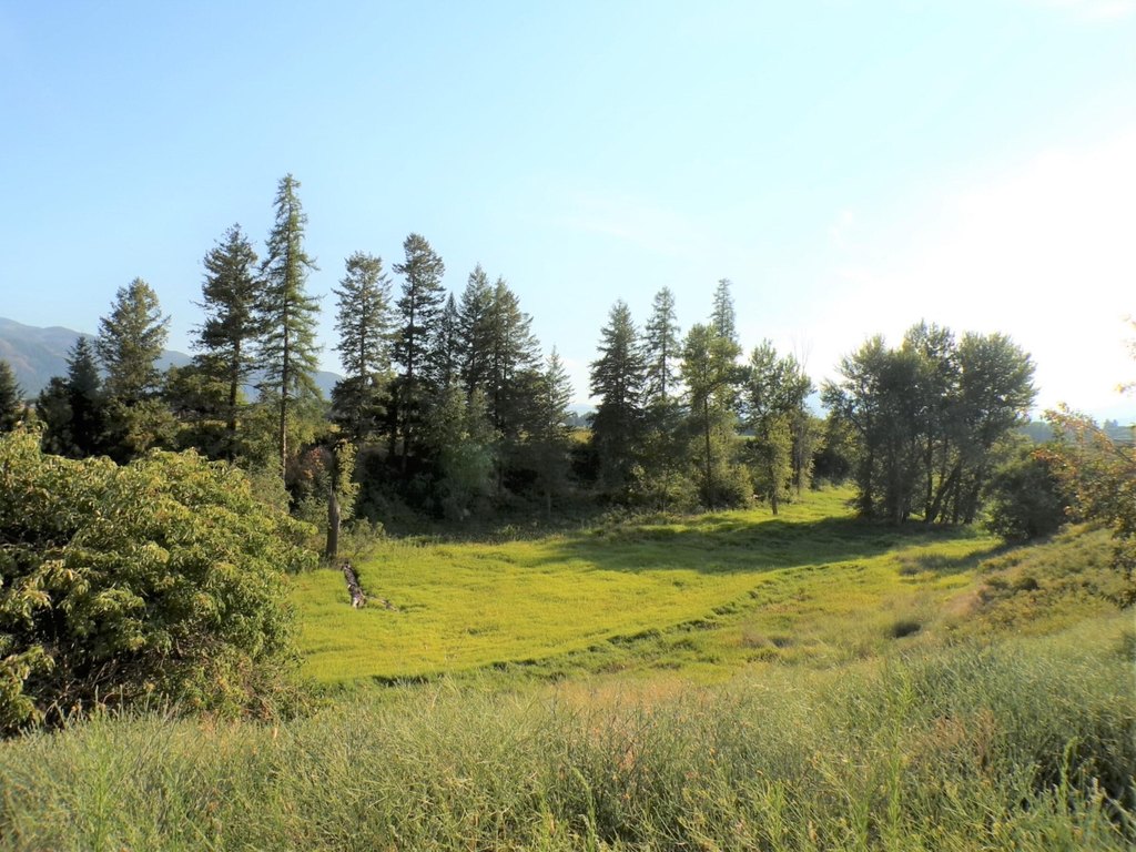
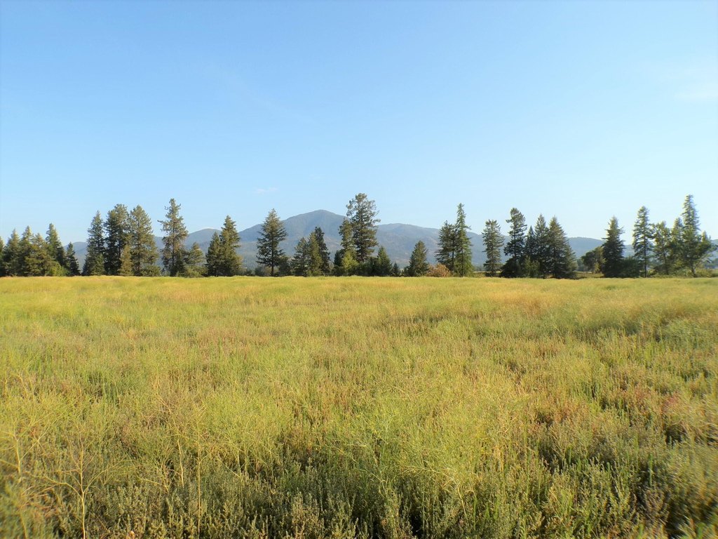
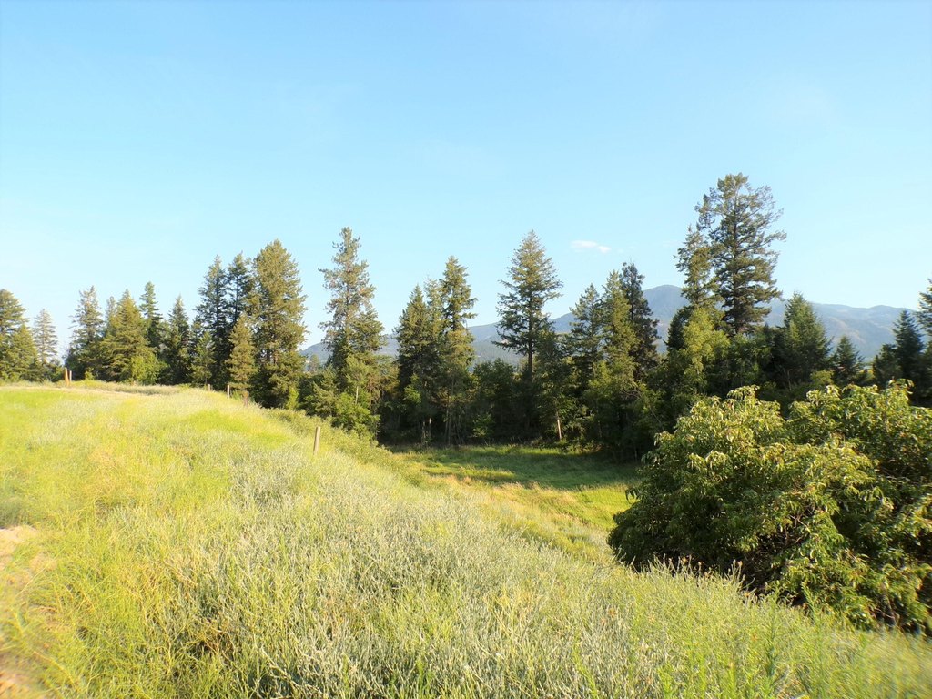
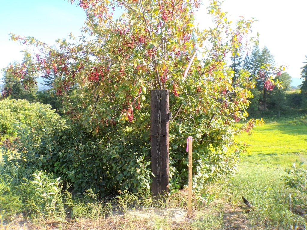
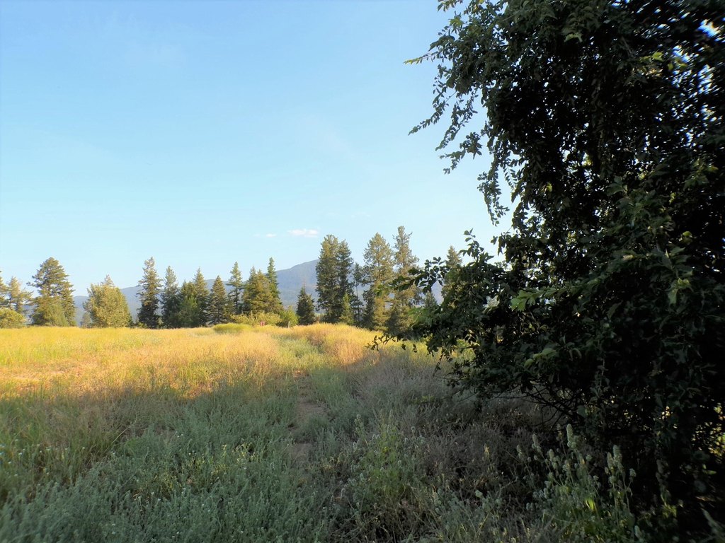
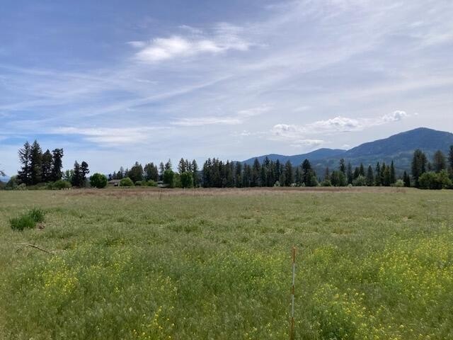
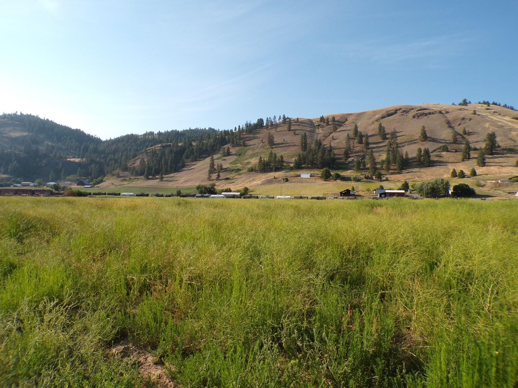
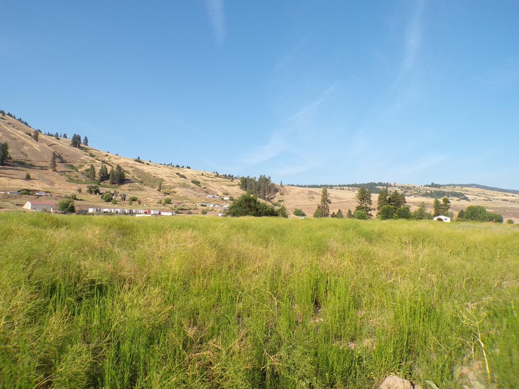
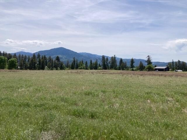
This mostly level rural parcel is covered in pasture grass and is suited for a custom home and related hobby use. The property includes a 10–15 GPM drilled well and underground power located near the building site. A level access road is provided to support travel to town while maintaining a rural feel.
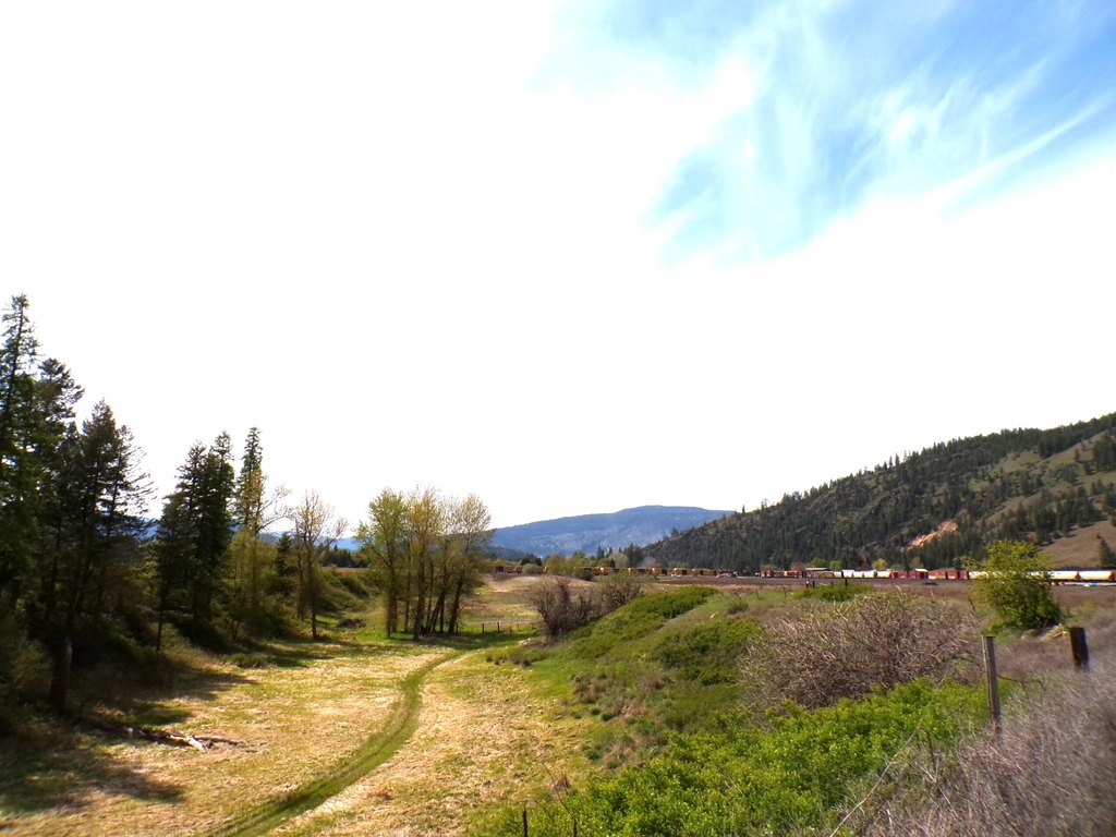
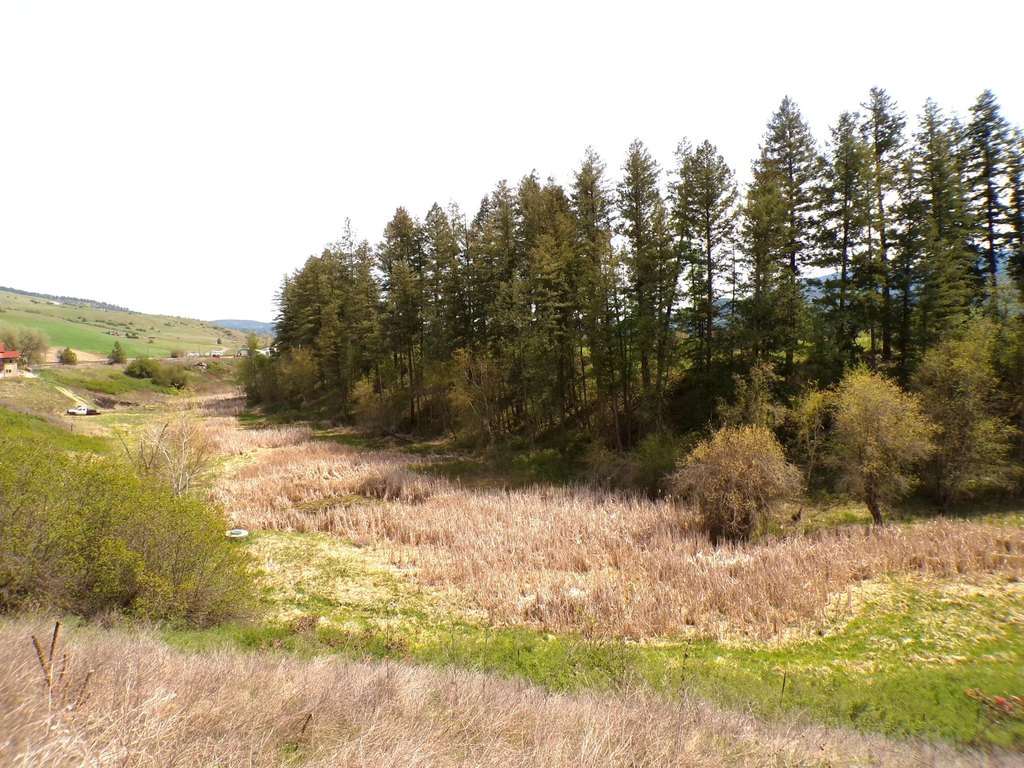
The land has been surveyed and wetland delineated. It also features mature trees lining a ravine and overlooks a wildlife habitat with distant views of Mingo Mountain.
Utilities and site preparation elements are already addressed with the existing well and power near the build area, and neighboring properties have approved septic. The parcel has been tilled in prior years.
The land has been surveyed and wetland delineated. It also features mature trees lining a ravine and overlooks a wildlife habitat with distant views of Mingo Mountain.
Utilities and site preparation elements are already addressed with the existing well and power near the build area, and neighboring properties have approved septic. The parcel has been tilled in prior years.
Key Highlights
- Mostly level 6‑acre homesite near Kettle Falls, covered in pasture grass.
- 10–15 GPM drilled well and underground power located near the building site.
- Pasture grass parcel overlooks a wildlife habitat with mature trees along a ravine and distant views of Mingo Mountain.
Property Analytics
Property Profile
Current Use
Location Intelligence
Trade Area within ½ mile
12
Businesses Nearby
Explore this area
Business Placement
Demographics for 99141, WA
5,737
Population
3,015
Households
1.9
Avg Household Size
50
Median Age
18%
College-Educated
92%
High-School Grad
628.1 sq mi
ZIP Area
9
Density / Sq Mi
$63,700
Median Household Income
$38,675
Median Earnings
$918
Median Rent
$283,000
Median Home Value

Questions? Ask Rey
Realmo’s AI knows this listing — price, zoning, demand, history. Ask anything.



Frequently Asked Questions
What type of property is this?
Residential land & home lot - Mostly level 6.2-acre parcel with a 10–15 GPM drilled well and underground power near a planned building site.
Where is this residential land & home lot located?
The property is located at 781 H HWY 395 Kettle Falls, WA.
What is the asking price?
The asking price for this property is $119,000.
What are key features of this property?
This property features: Mostly level 6‑acre homesite near Kettle Falls, covered in pasture grass.; 10–15 GPM drilled well and underground power located near the building site.; Pasture grass parcel overlooks a wildlife habitat with mature trees along a ravine and distant views of Mingo Mountain.


