7038 LOT 142 PT 141 GREENBANK RD, Middle River, MD 21220


- Added:
- Jun 5, 2026
- Days on Market:
- 11
- Last Refresh:
- Jun 15 at 3:06 pm
Property Features for 7038 LOT 142 PT 141 GREENBANK RD
General Information
- Property type
- Farm
- Property subtype
- Farm
- Standard status
- Active
- Lot size
- 0.23 Acres
Taxes and HOA fees
- Tax Annual Amount
- 2756
Building Details
- Architectural style
- Other

Listing agent Christine A Heisey (888) 536-0216
Listing office Bel Air 3004 Emmorton Road, MD (888) 536-0216
Listing date Jun 5, 2026
Copyright © 2026 Long & Foster Real Estate. All rights reserved. All information provided by the listing agent/broker is deemed reliable but is not guaranteed and should be independently verified.
HighLights
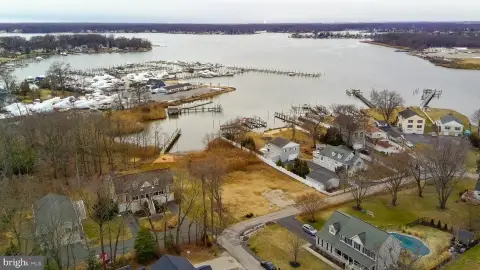
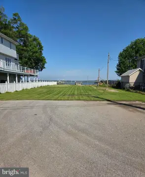
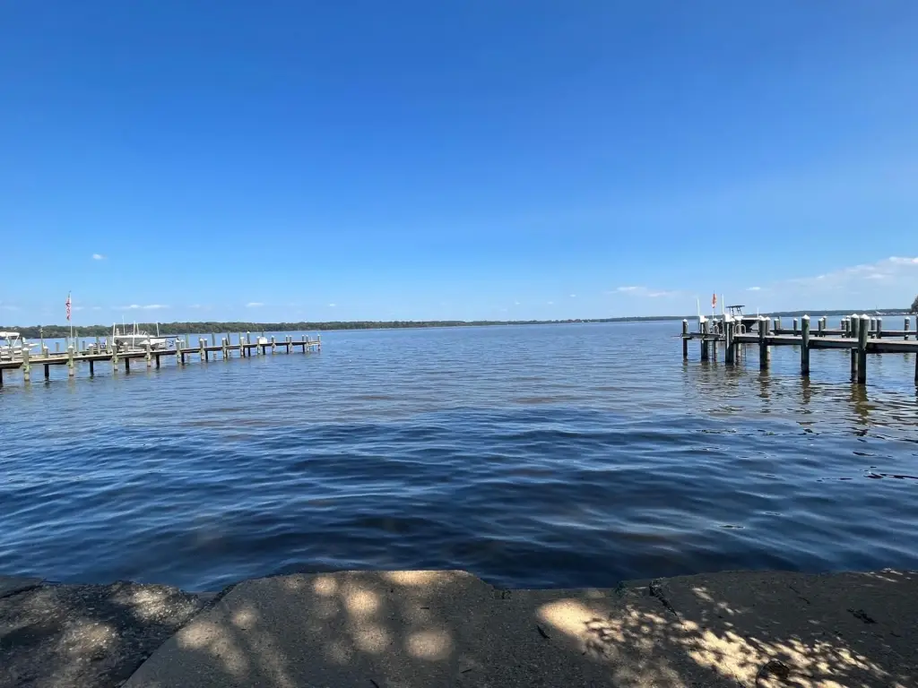
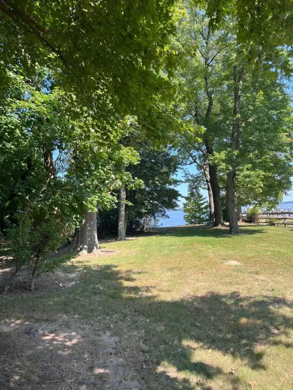
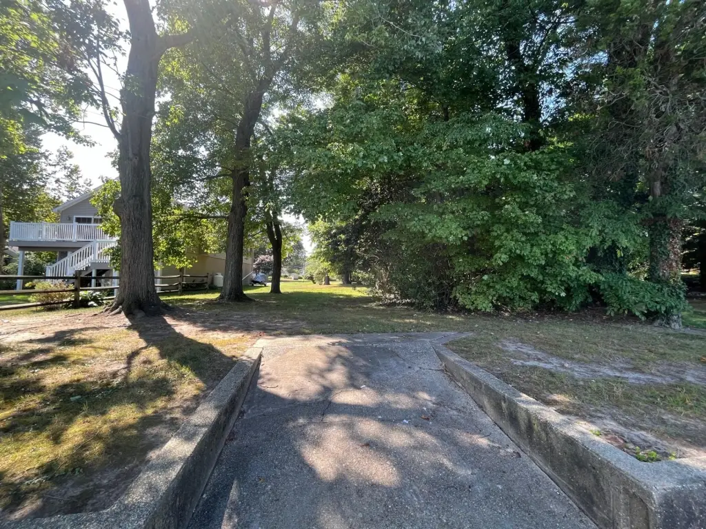
- Vacant buildable waterfront lot in the Twin River Beach community, adjacent to 7038
- Water view faces east
- Setbacks (per Baltimore County Planning and Zoning): 25 ft from water’s edge, 10 ft on each side, 30 ft rear from driveway/road
- Height limit noted as 50 ft (per Baltimore County Planning and Zoning)
- Part of the Chesapeake Bay Critical Area (limited development area) with grandfathered coverage up to 25% or 31.25% with mitigation
- Buyer responsible for feasibility studies and for water and sewer hook ups
Overview
The property is located in the Chesapeake Bay Critical Area as part of a limited development area described as grandfathered under older requirements allowing 25% coverage or 31.25% coverage with mitigation. Coverage limits are described as applying to the house footprint plus decks, patio, shed, and walkways (not total livable area). The remarks note that building in floodplain areas and related development plan review requirements can be discussed with Baltimore County departments, and that feasibility studies are the buyer’s responsibility. Water and sewer hook-ups are also noted as the buyer’s responsibility.
For buyers planning a custom home, the documented setback and coverage framework helps define where a waterfront-facing structure may be placed and what design elements will be needed to meet the stated raised-building and parking-underneath requirements. This parcel is presented as a potential home site away from the nearby waterside restaurant area, with the Gunpowder River described as quiet. Buyer responsibility for feasibility, utility hook-ups, and compliance confirmation with county review processes is specifically highlighted in the provided information.
Current Use by Public Records
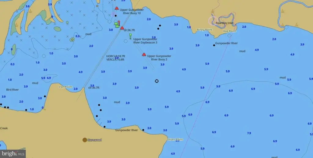
Location Insight
- Map
- Local Demand
- City
- Middle River
- County
- Baltimore
- State
- Maryland
- Longitude
- -76.35275858
- Latitude
- 39.37698819