690 Adams Cemetery Rd, Liberty, KY 42539

- Added:
- Jun 8, 2026
- Days on Market:
- 20
- Last Refresh:
- Jun 27 at 3:06 pm
Property Features for 690 Adams Cemetery Rd
General Information
- Property type
- Land
- Property subtype
- Other
- Parking features
- Garage
- Standard status
- Active
- Lot size
- 1,004.00 Acres
Taxes and HOA fees
- Tax Annual Amount
- 0
Building Details
- Architectural style
- Other
Listing agent Scott Rousey (606) 346-4028
Listing office Cochran-Rousey Realty & Auction 9789 Main Street, Hustonville, KY (606) 346-4028
Listing date Jun 8, 2026
Copyright © 2026 My State MLS. All rights reserved. All information provided by the listing agent/broker is deemed reliable but is not guaranteed and should be independently verified.
HighLights
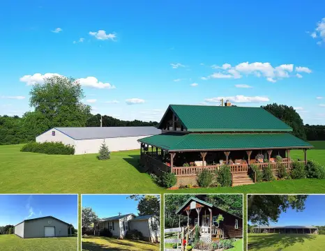
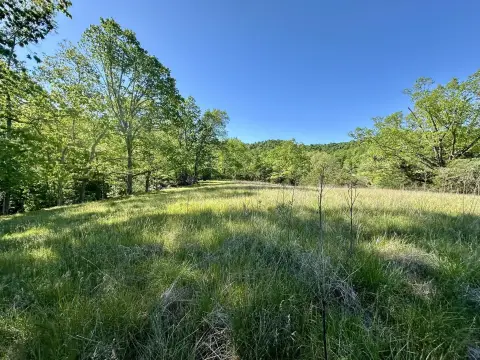
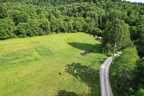
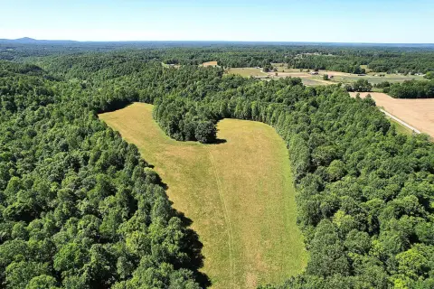
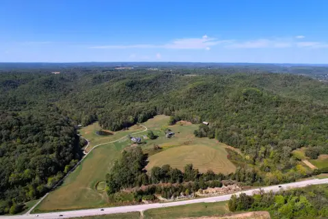
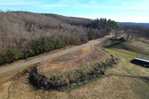
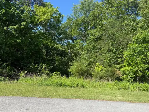
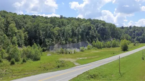
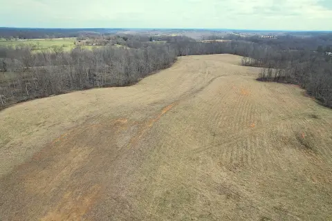
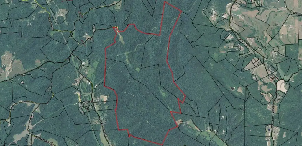
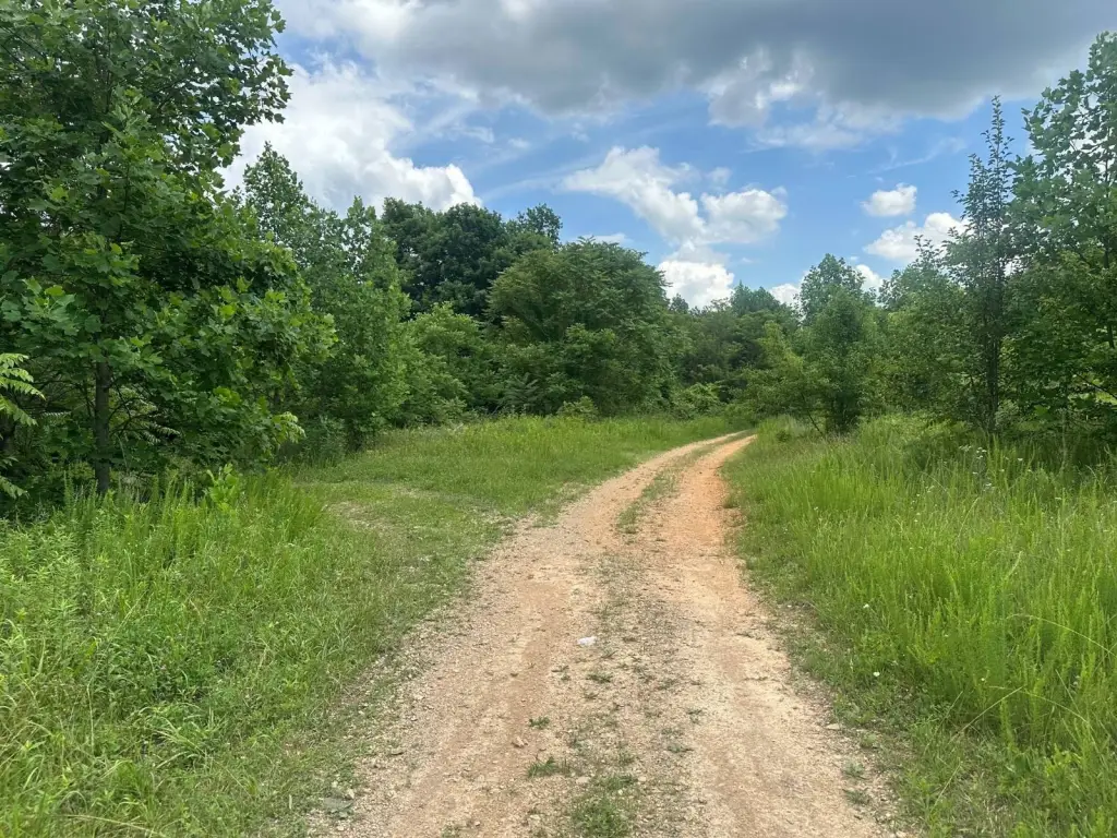
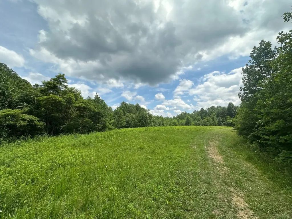
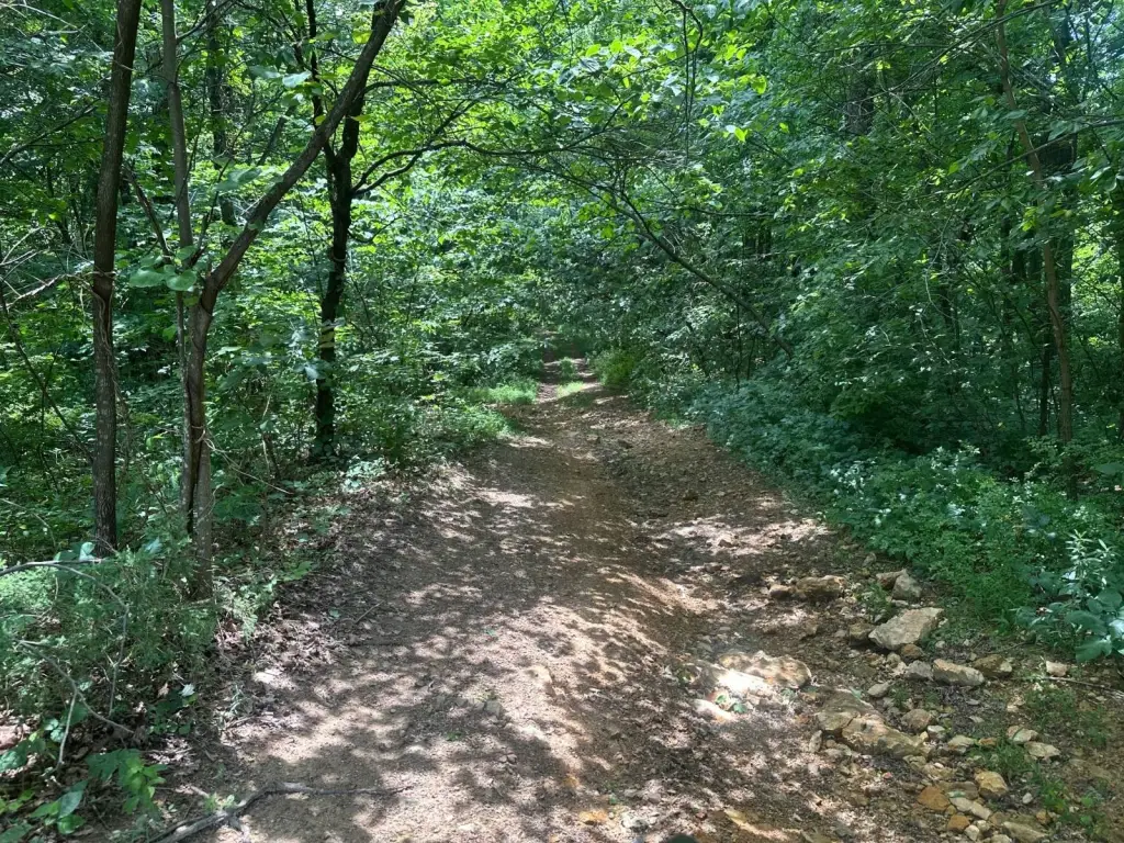
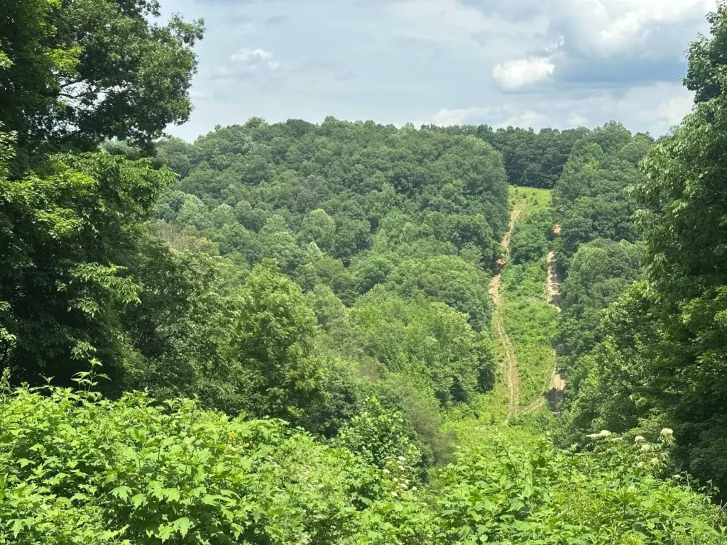
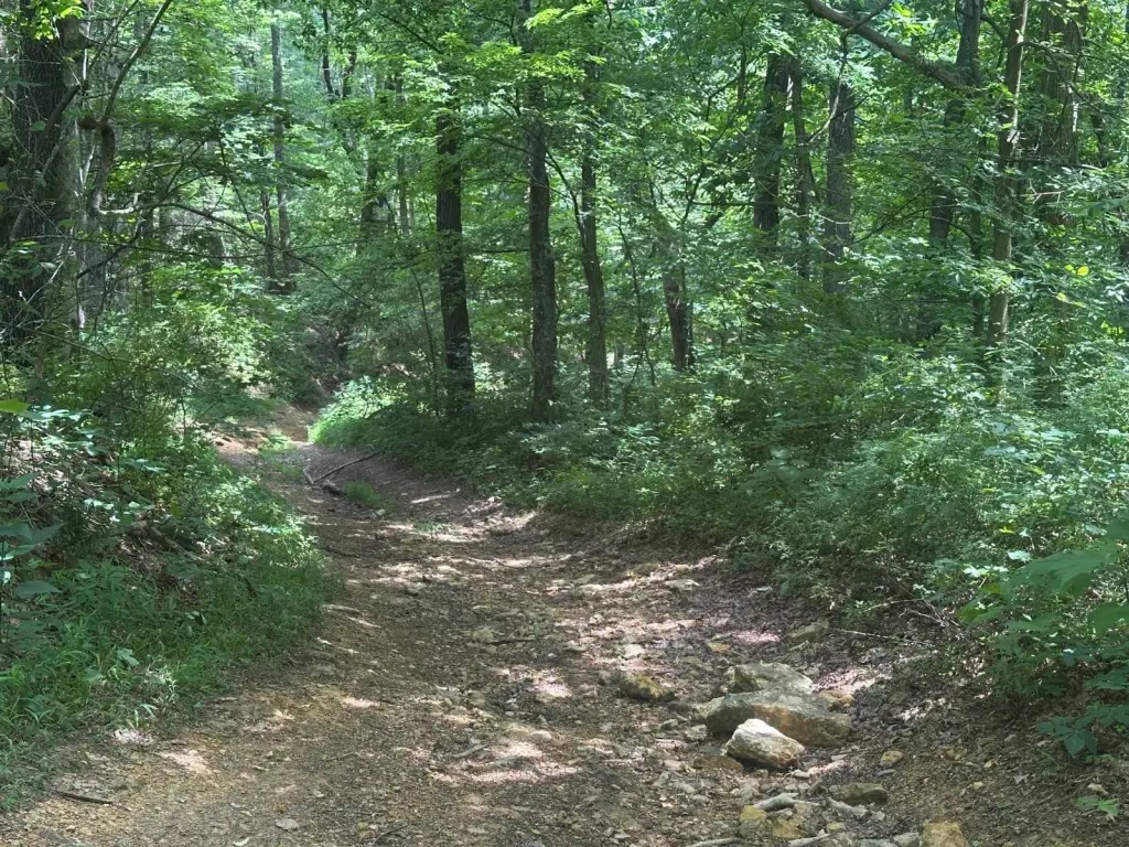
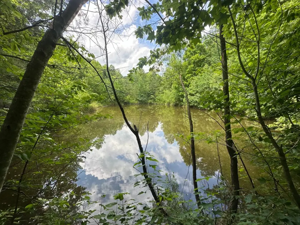
- Approximately 1,004 acres (per PVA) of secluded Kentucky countryside in the Dogwood Gap community in Casey County
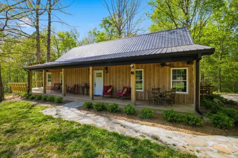
- Includes timberland with multiple potential building sites for a home or getaway cabin
- Outdoor recreation features include ATV trails, with opportunities for horseback riding paths and hiking
- Panoramic scenery with a secluded/private setting near Brush Creek and Long Hollow Road areas
- Reported as offering excellent hunting and recreational opportunities with abundant wildlife
- Parking feature listed: garage
Overview
The property is located near Brush Creek and the Long Hollow Road area, with address information provided as 690 Adams Cemetery Rd in Liberty, KY 42539. The remarks emphasize a secluded countryside environment, which can be appealing to buyers seeking privacy for recreational or residential development.
For buyers, investors, or land operators looking for a sizable wooded tract for hunting and outdoor recreation, this acreage offers the space to support those activities while also accommodating future site selection for building. The combination of timberland, existing trails, and multiple potential building locations may suit individuals or groups pursuing a private retreat, a recreational property, or a hunting preserve concept. Interested parties should arrange a private showing to evaluate access, building site preferences, and trail or habitat conditions firsthand.
Current Use by Public Records
Map
- City
- Liberty
- County
- Casey
- State
- Kentucky
- Longitude
- -84.93436
- Latitude
- 37.43572