6701-6731 Cairo Road, Paducah, KY 42001


- Added:
- Jun 13, 2025
- Days on Market:
- 365
- Last Refresh:
- Jun 12 at 2:06 am
Property Features for 6701-6731 Cairo Road
General Information
- Property type
- Commercial Sale
- Property subtype
- Other
- Standard status
- Active
- Lot size
- 63.38 Acres
Utilities
- Utilities
- Natural Gas Available
- Water source
- Public
Listing agent John Davis License #190164 (270) 210-6315
Listing office John Davis Real Estate 525 Peppers Mill Drive, Paducah, KY (270) 210-6315
Listing date Jun 13, 2025
Copyright © 2026 Western Kentucky Regional MLS Inc. All rights reserved. All information provided by the listing agent/broker is deemed reliable but is not guaranteed and should be independently verified.
HighLights
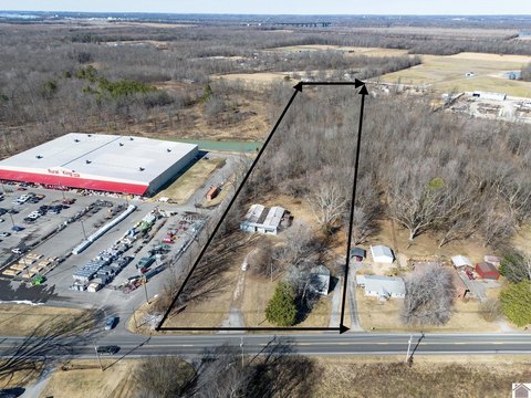
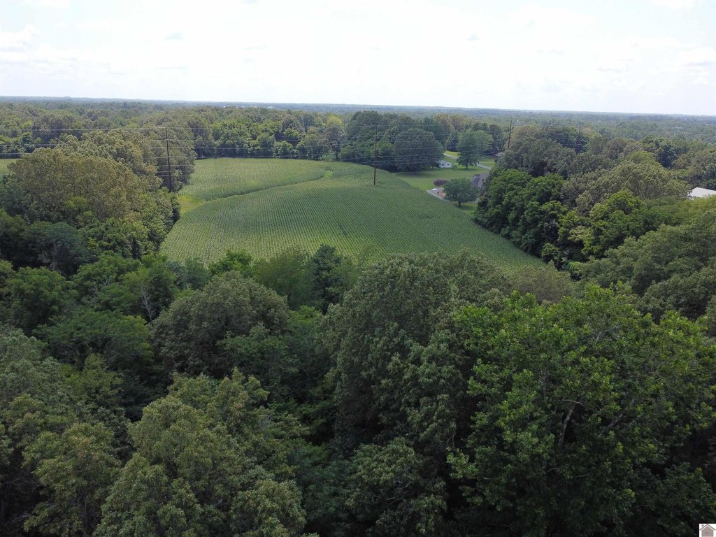
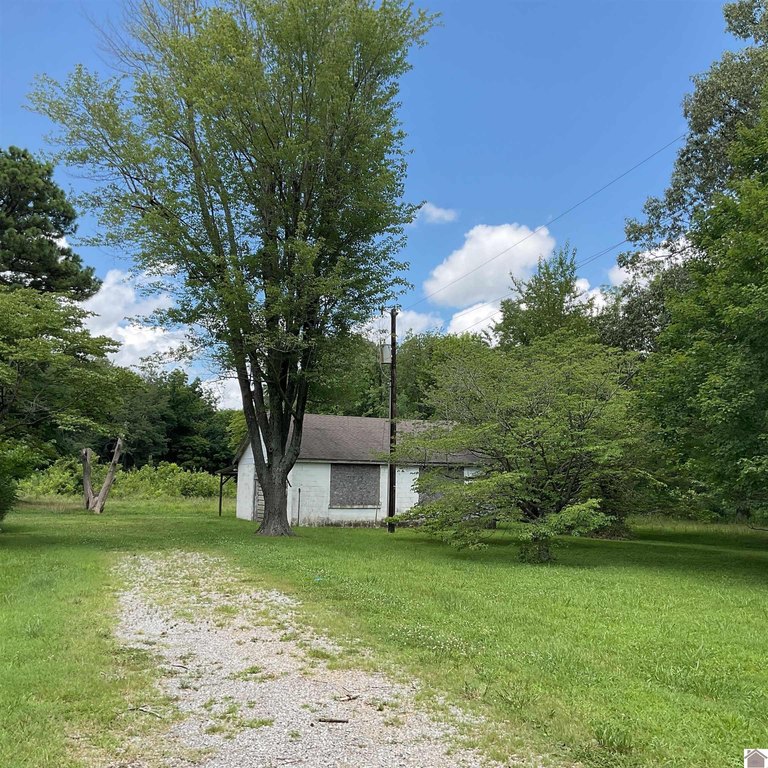
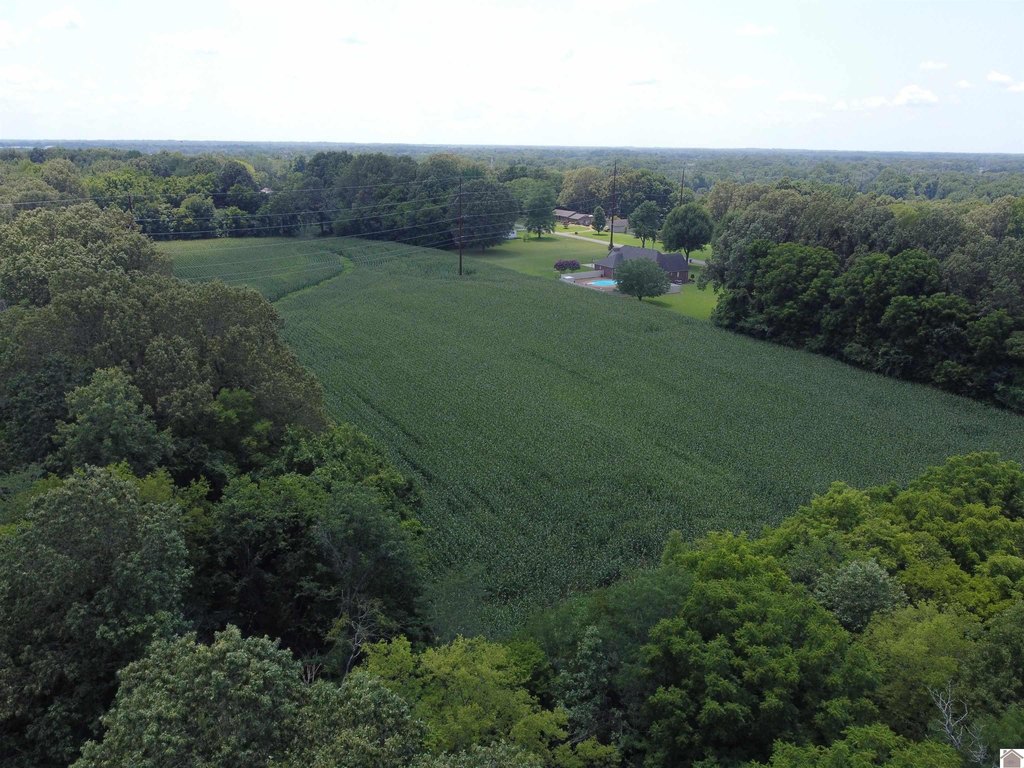
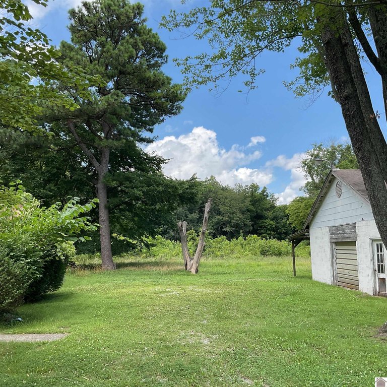
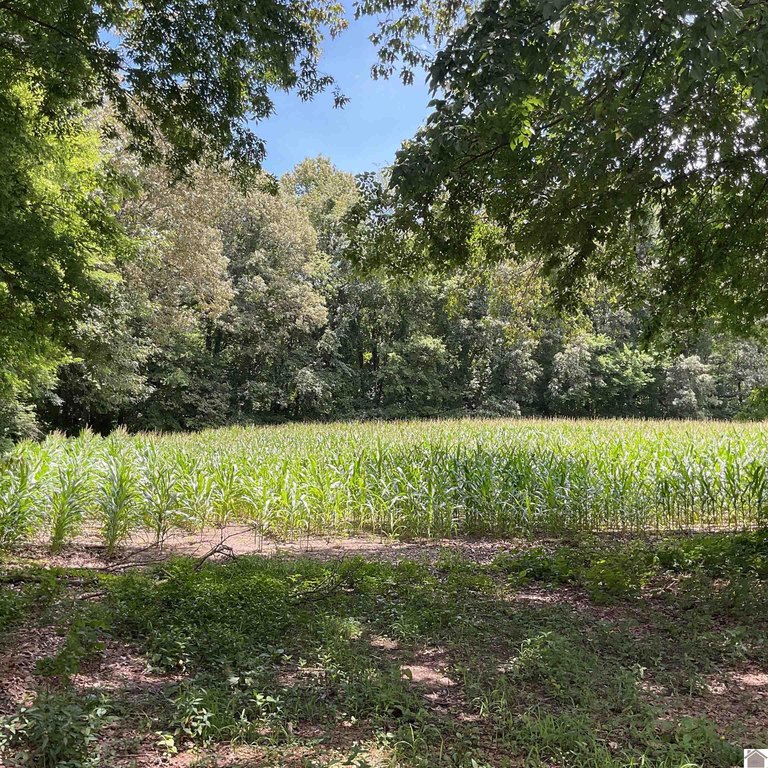
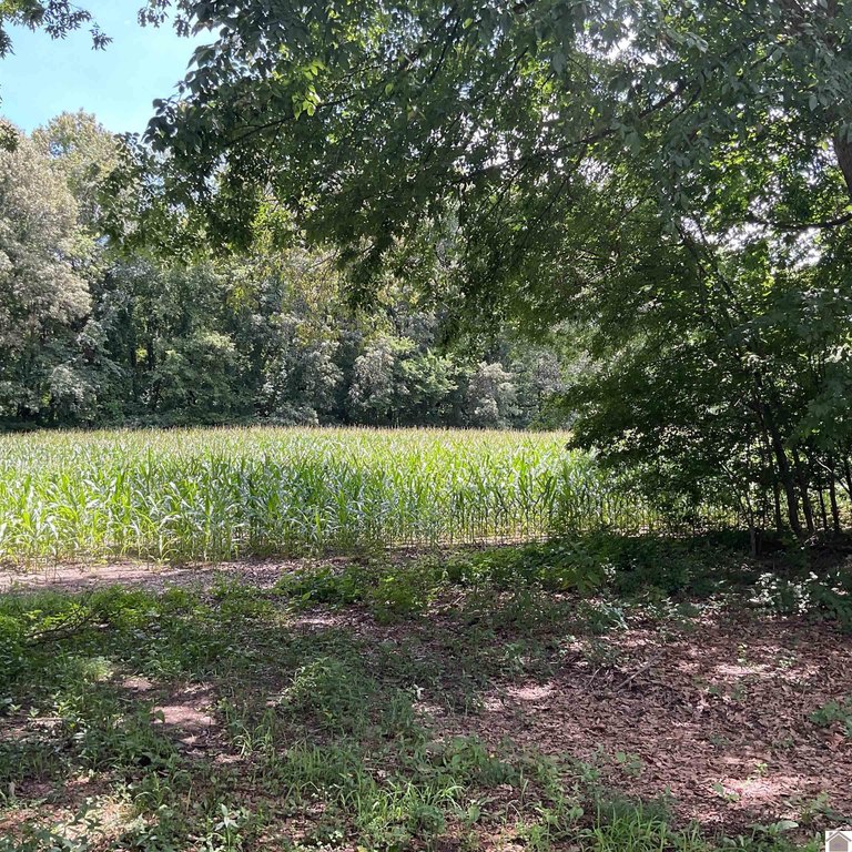
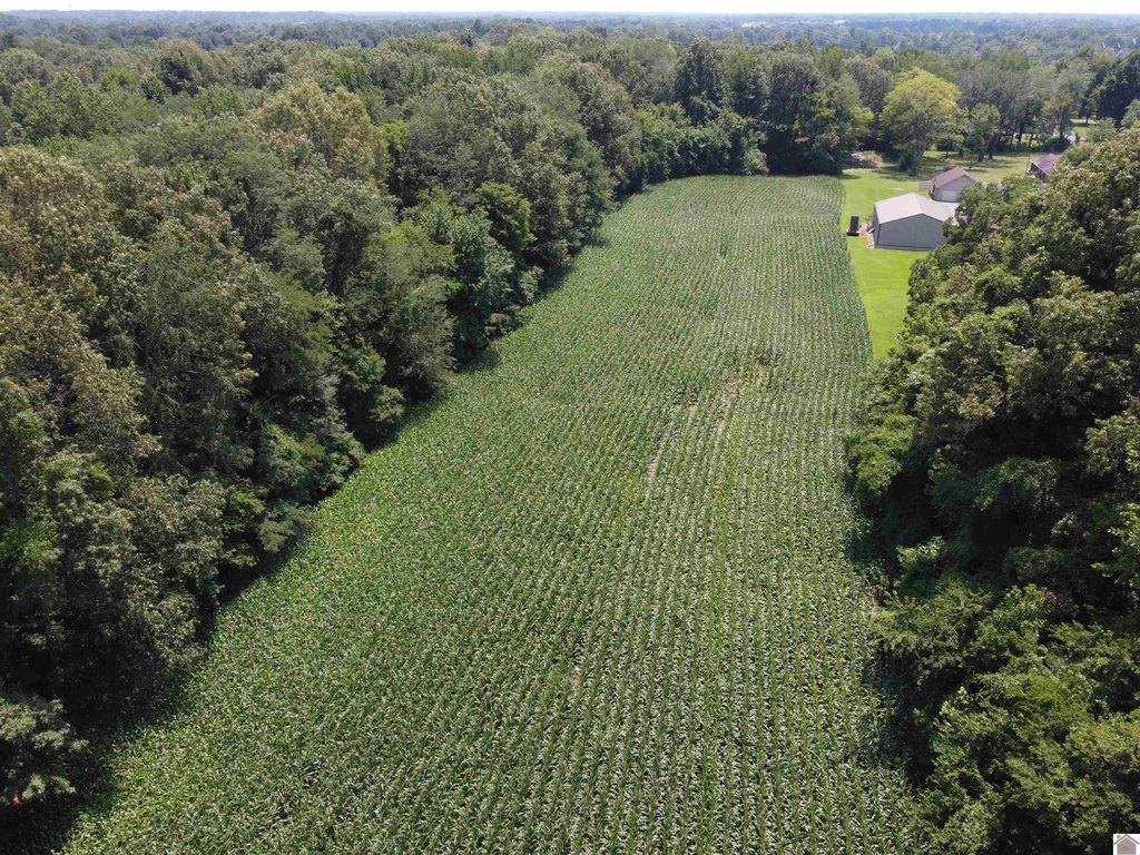
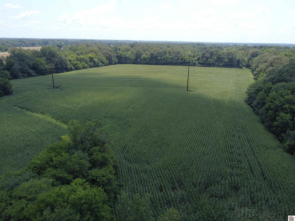
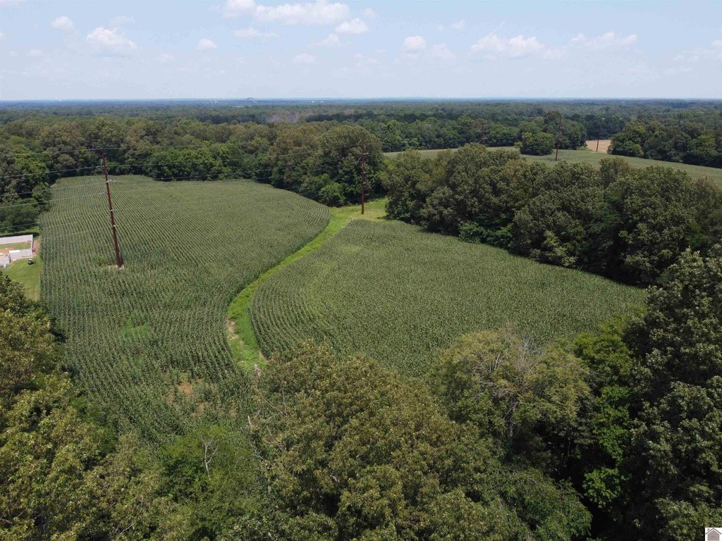
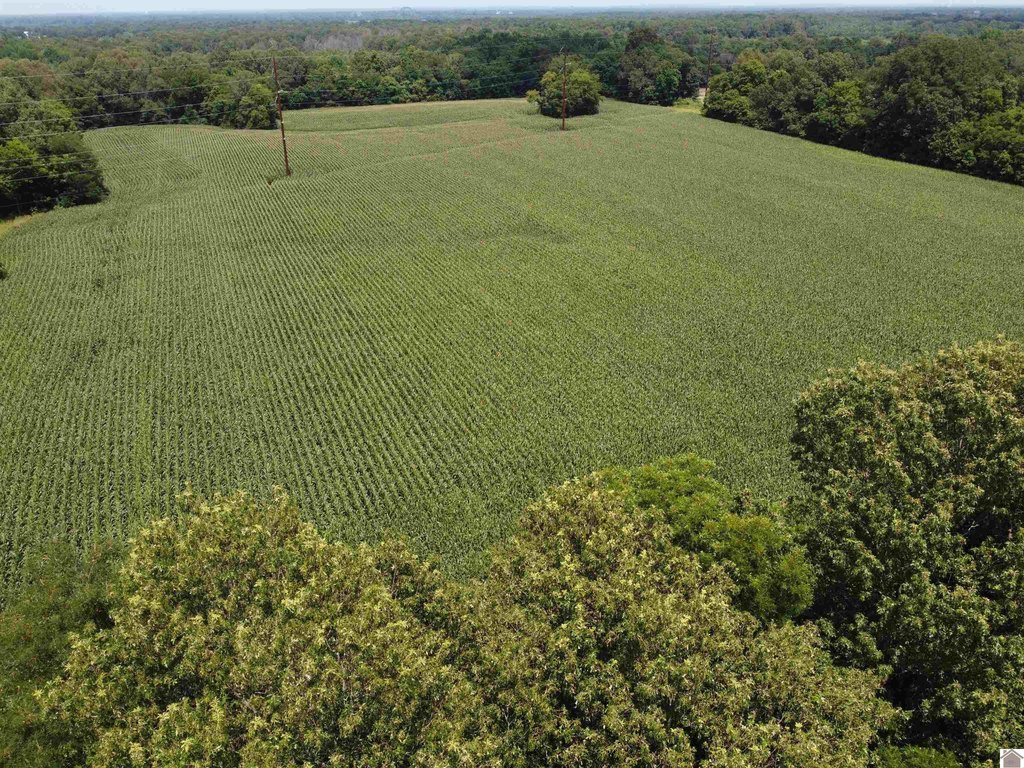
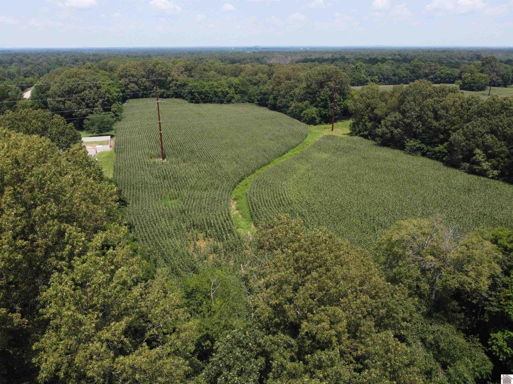
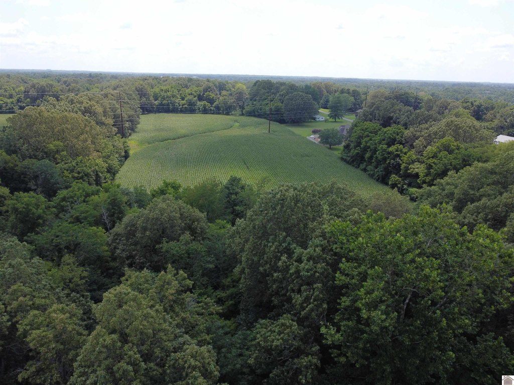
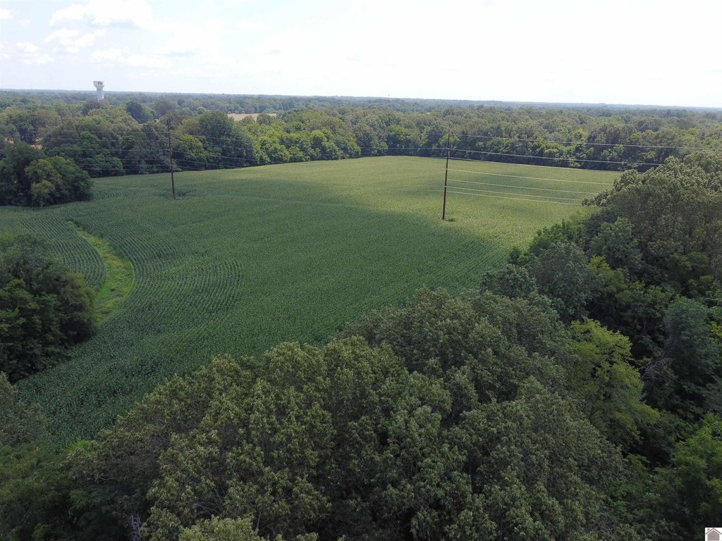
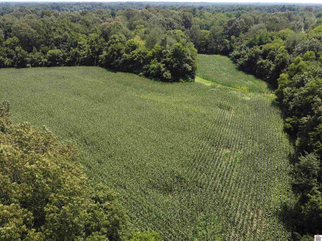
- 63.38‑acre development property with crops planted (do not drive on property)
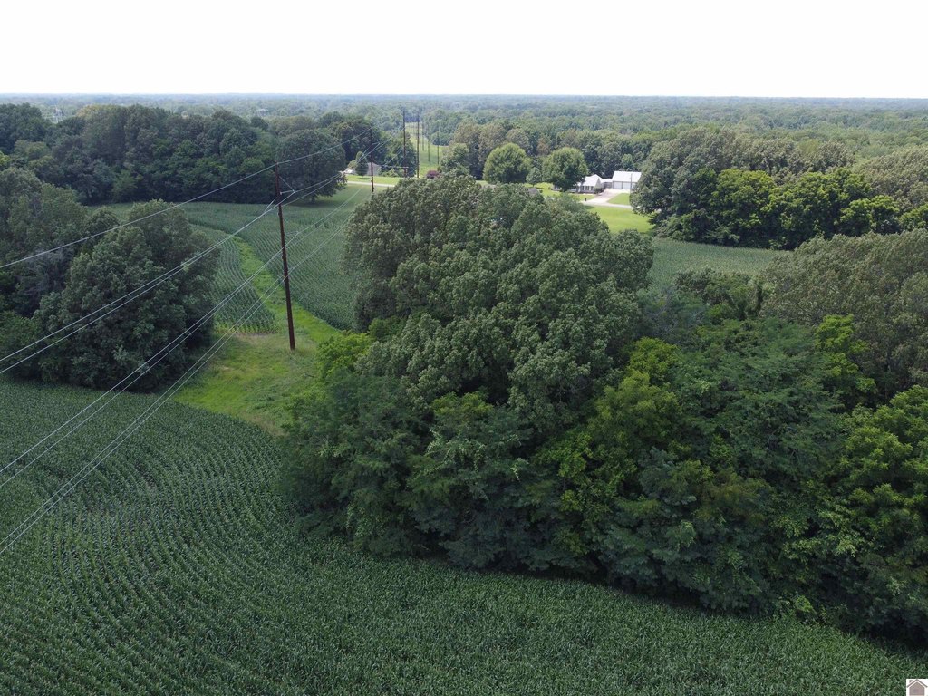
- 595.97 ft of road frontage on Cairo Road
- Zoned Urbanizing Residential (zoning as of the listing time)
- Multiple utilities available: Paducah Water, natural gas, KU, and Atmos Energy
- Public water source available
- Additional entrance on Cold Spring Road (watch for sign); two forced mains in front of property (20" and 12') per JSA
Overview
The property has 595.97 feet of road frontage on Cairo Road. The remarks also reference an additional entrance on Cold Spring Road; visitors are asked to watch for a sign. Two forced mains are located in front of the property, and the dimensions are identified as per a JSA. Public utilities are available, including Paducah Water, KU, and Atmos Energy.
This site may be a practical fit for developers or land buyers looking for a larger parcel with meaningful frontage and utility availability. The presence of crops and the instruction not to drive the grounds are important operational considerations for planning access and any due diligence. Buyers should also factor the forced mains in front of the property into design and site planning when evaluating development layouts.
Current Use by Public Records
Location Insight
- Map
- Local Demand
- City
- Paducah
- County
- McCracken
- State
- Kentucky
- Longitude
- -88.722332
- Latitude
- 37.091515