Land Parcel with Elevated
667 Cemetery Street Brookfield, VT 05036


For Sale
$165,000
LAND - Brookfield, VT
Lot Size36.95 Acres
Days on Market81
Property Features for 667 Cemetery Street
General Information
- Property type
- Land
- Property subtype
- Other
- Zoning
- Agricultural/Residential
- Standard status
- Active
- Lot size
- 36.95 Acres
Taxes and HOA fees
- Tax Year
- 2025
- Tax Annual Amount
- 736
Utilities
- Utilities
- Phone Available
- Sewer type
- Septic Needed
- Water source
- Well Needed
Listing Agency:
Preferred Properties
(802) 862-9106
Listed By:
Curtis Trousdale
(802) 862-9106
Added: May 8
Changed: Jul 17
Last Checked: Jul 27 at 2:06AM
MLS# 5087838
Copyright © 2026 PrimeMLS. All rights reserved. All information provided by the listing agent/broker is deemed reliable but is not guaranteed and should be independently verified.
Investment Insights
Based on property information with market context.
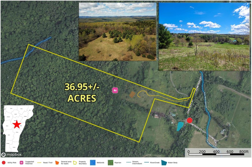
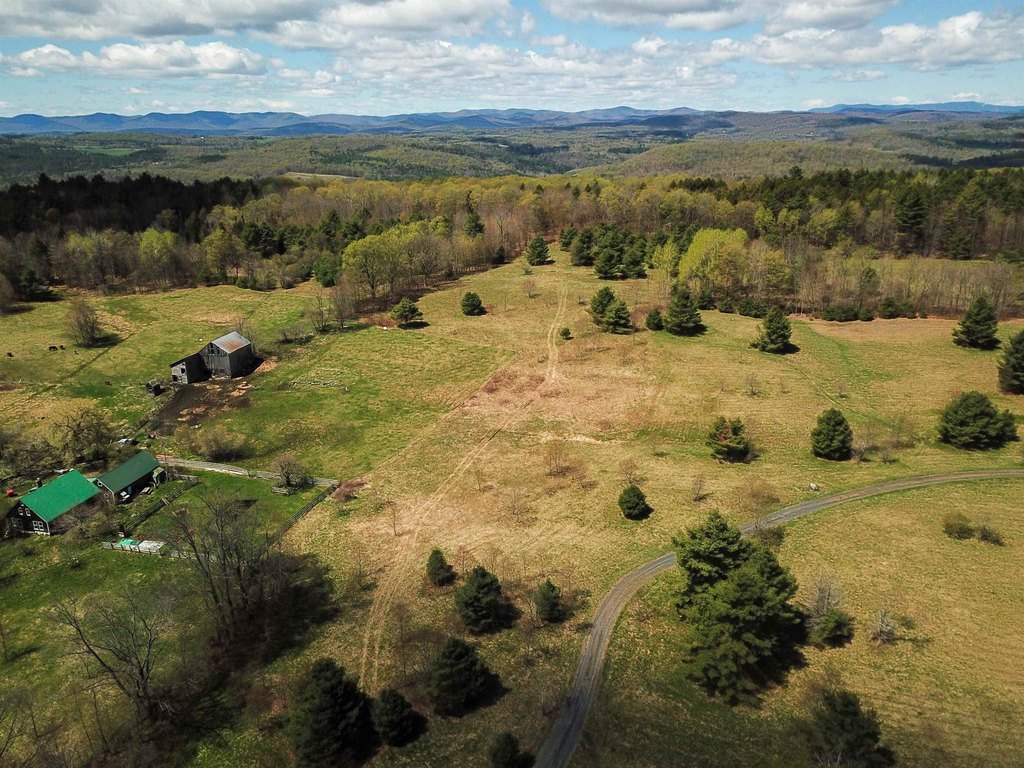
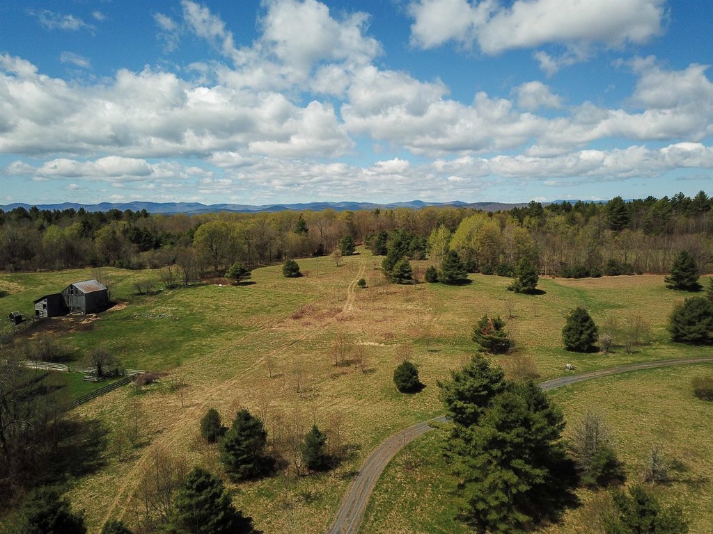
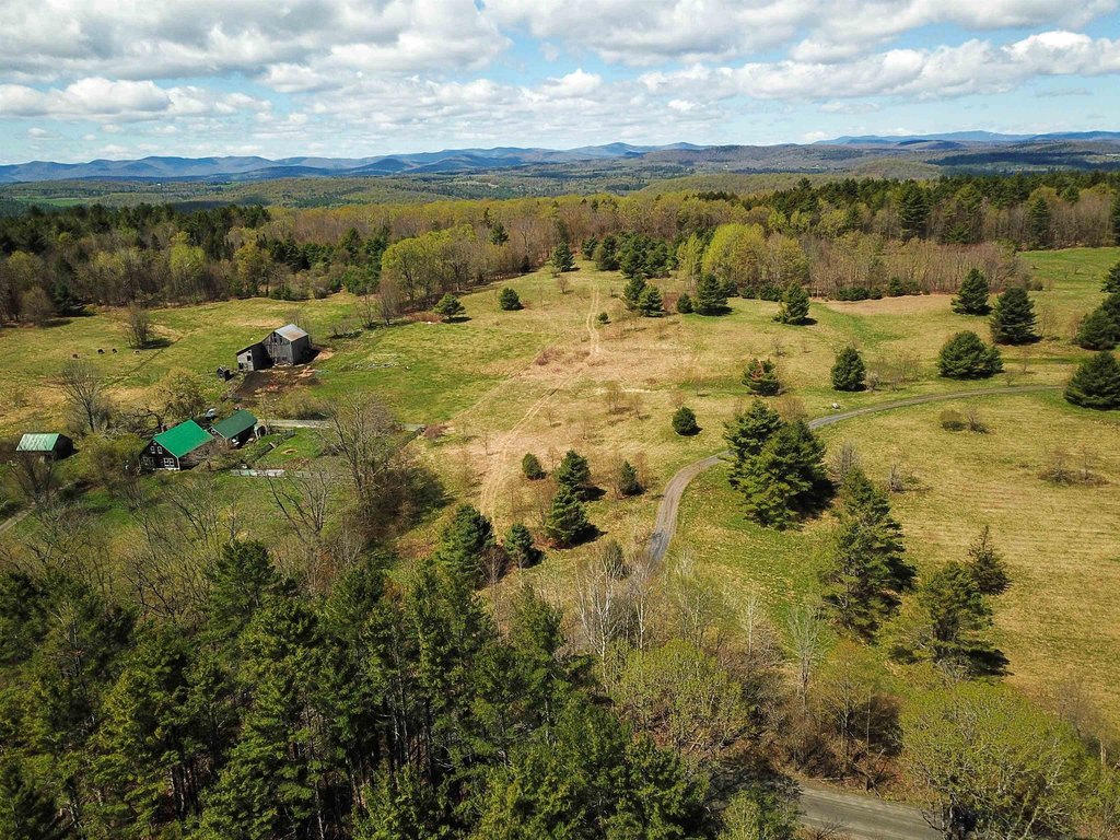
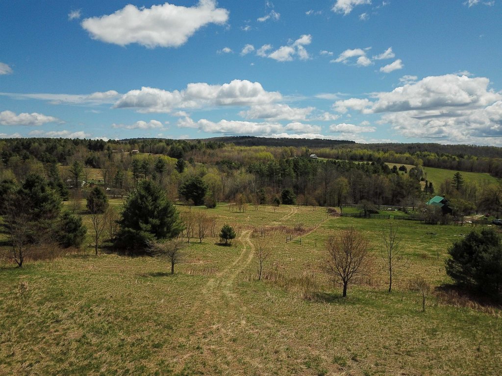
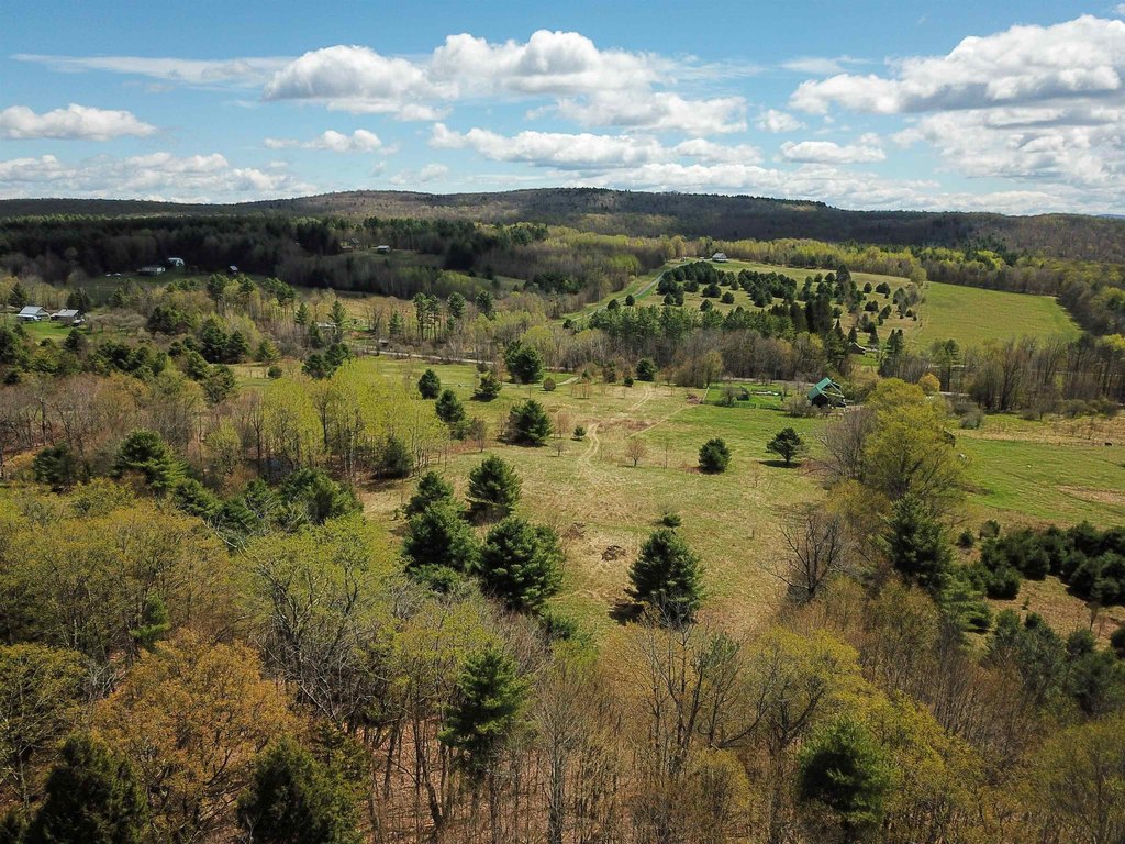
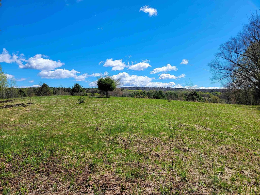
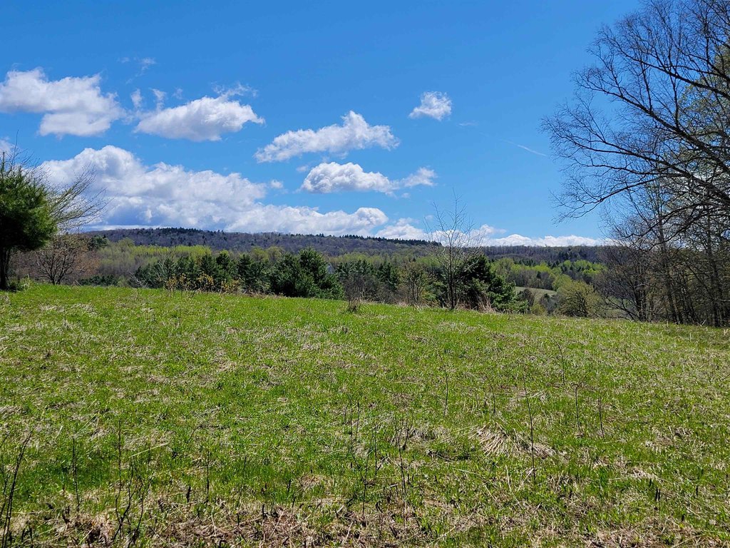
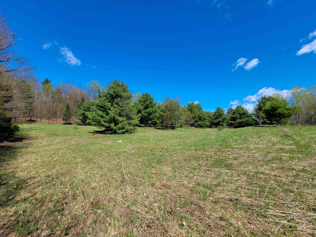
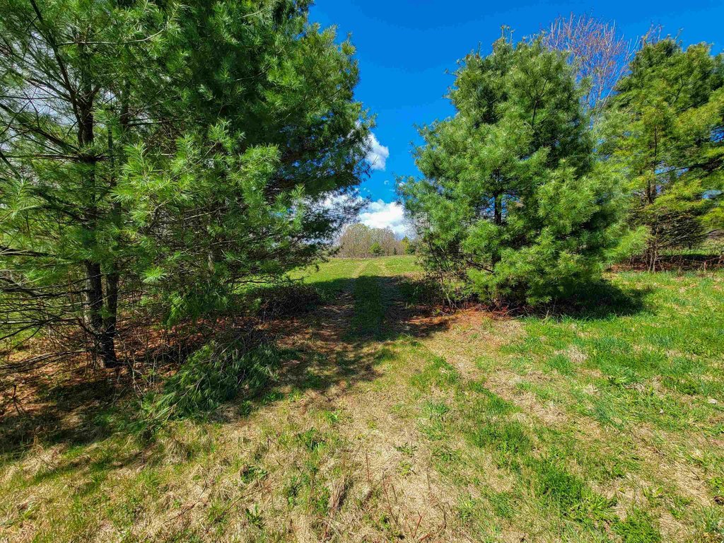
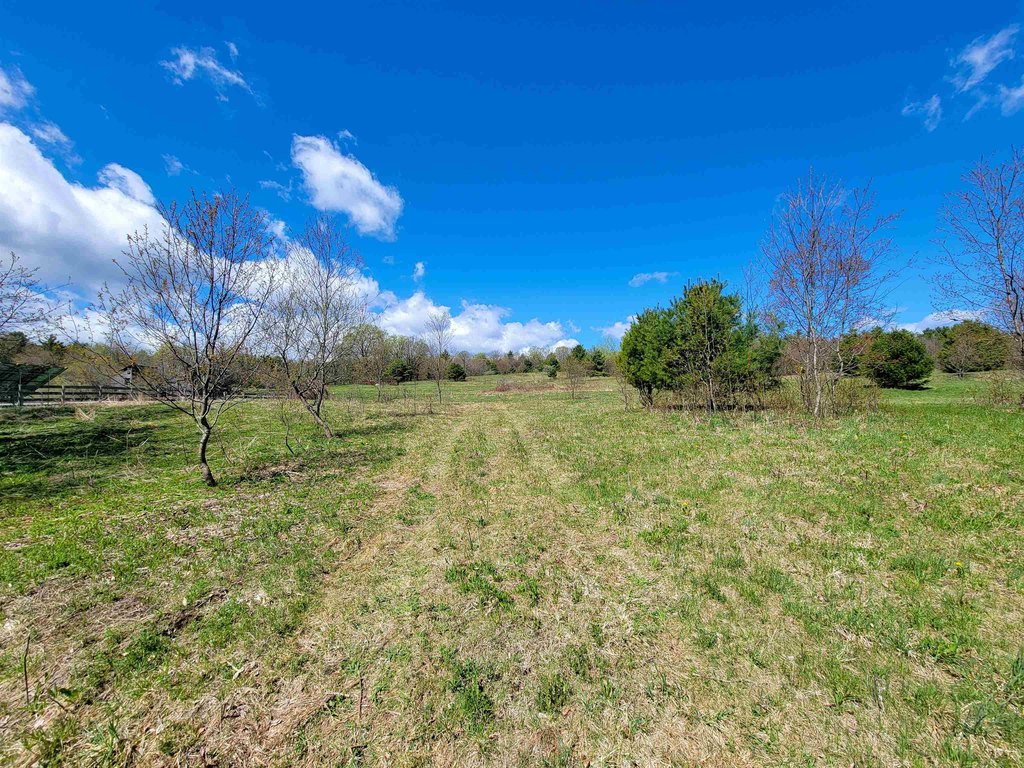
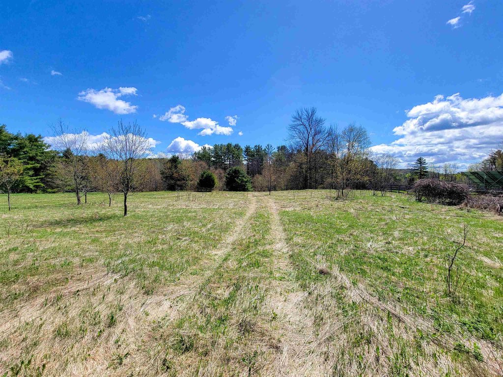
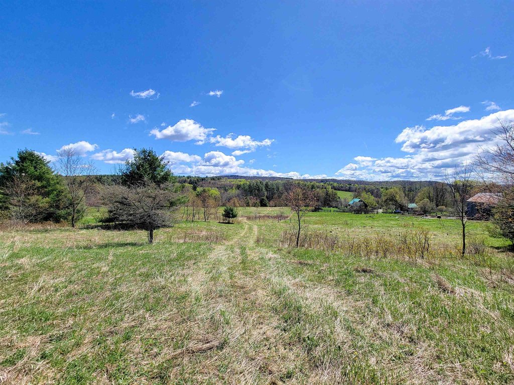
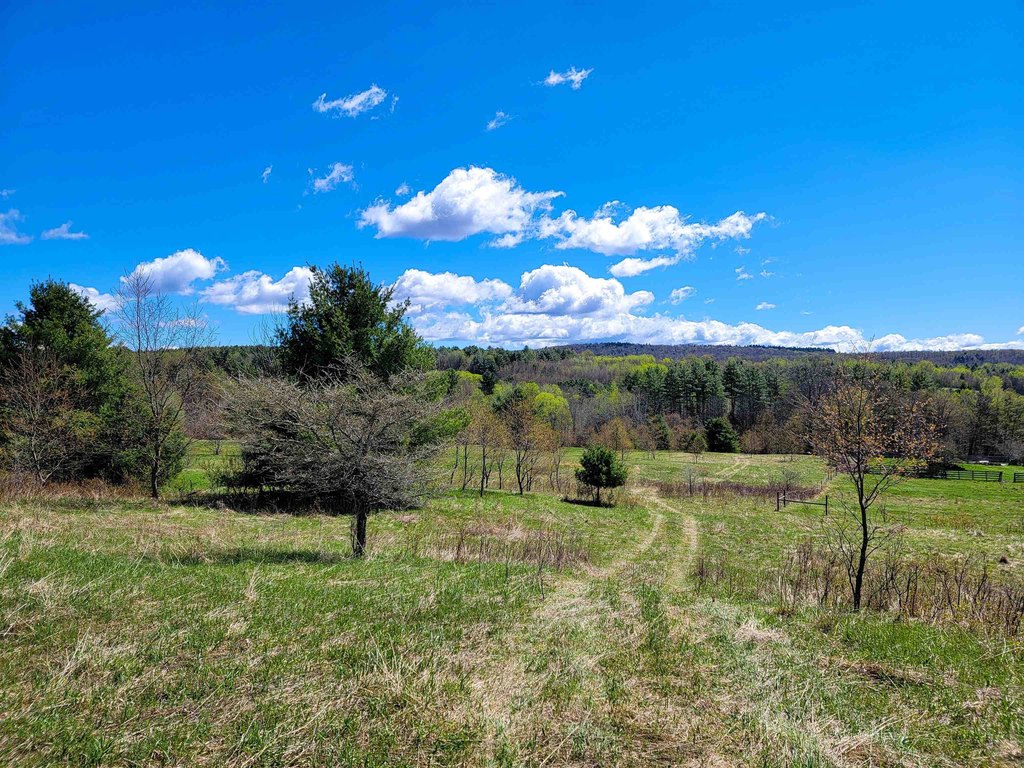
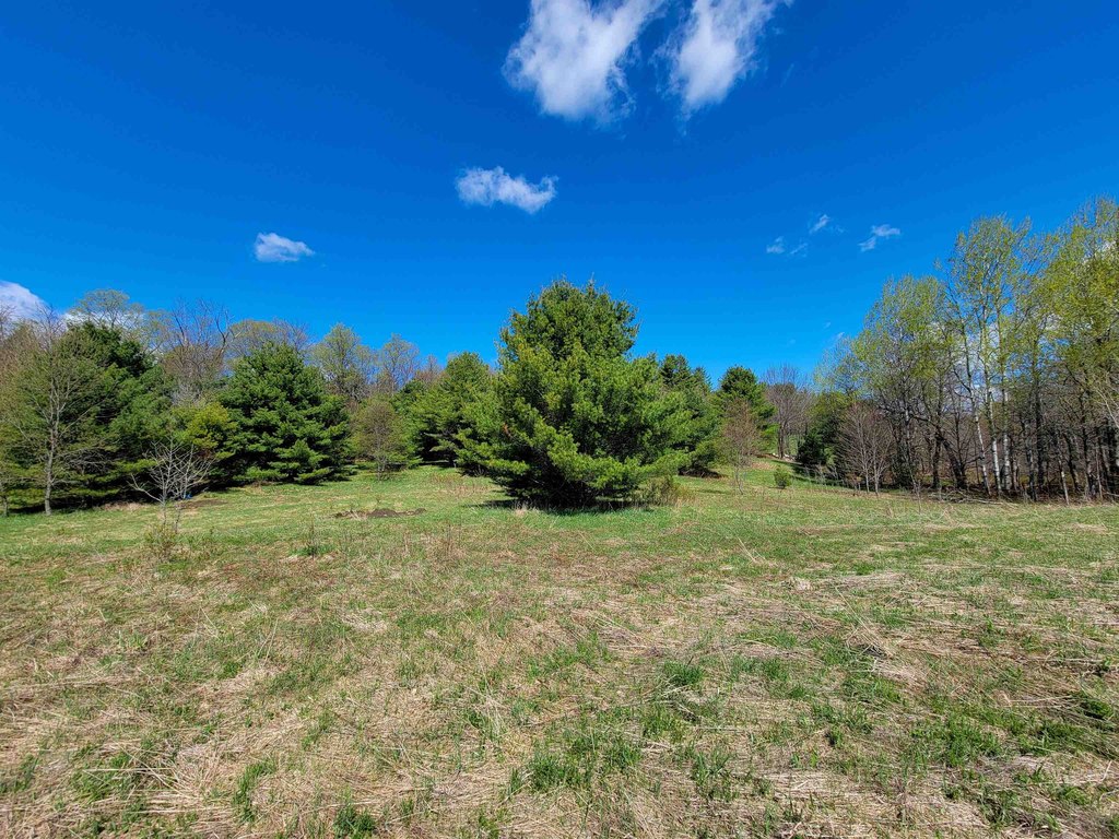
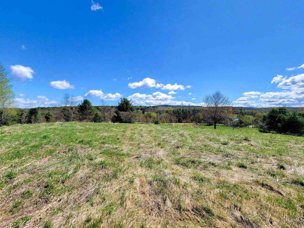
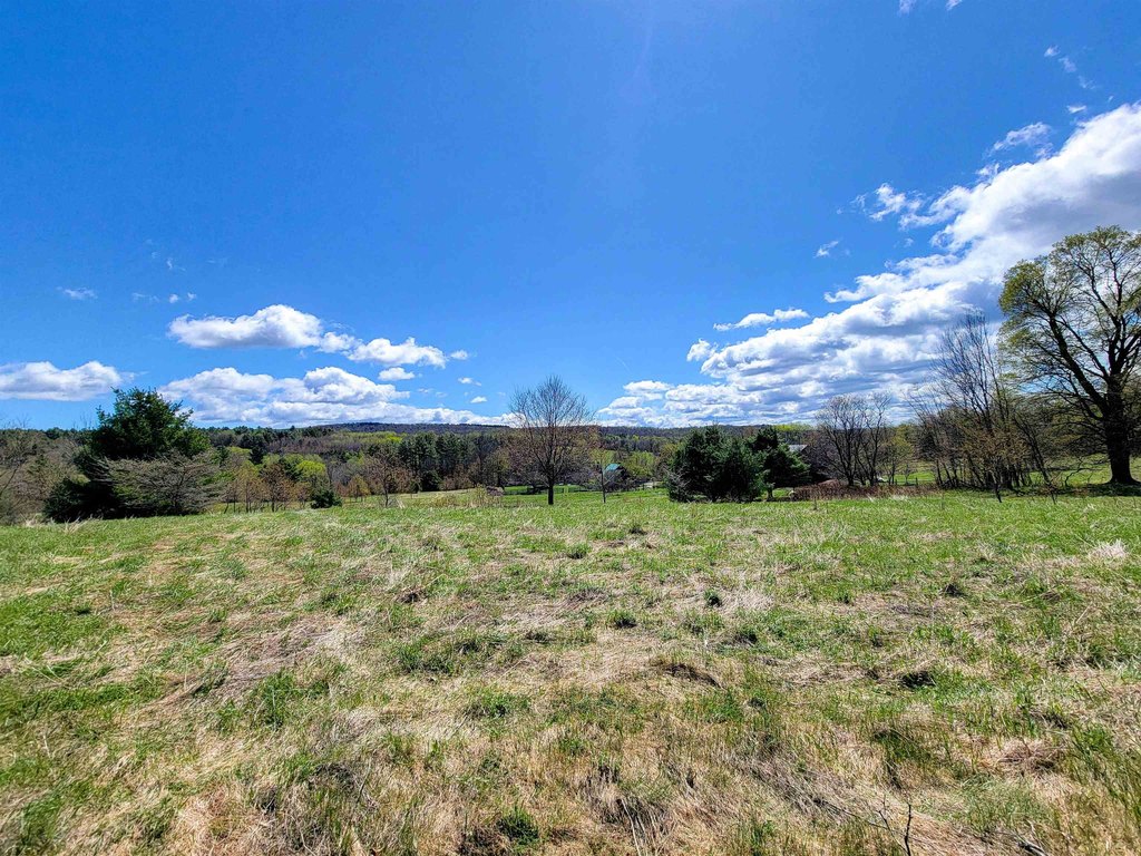
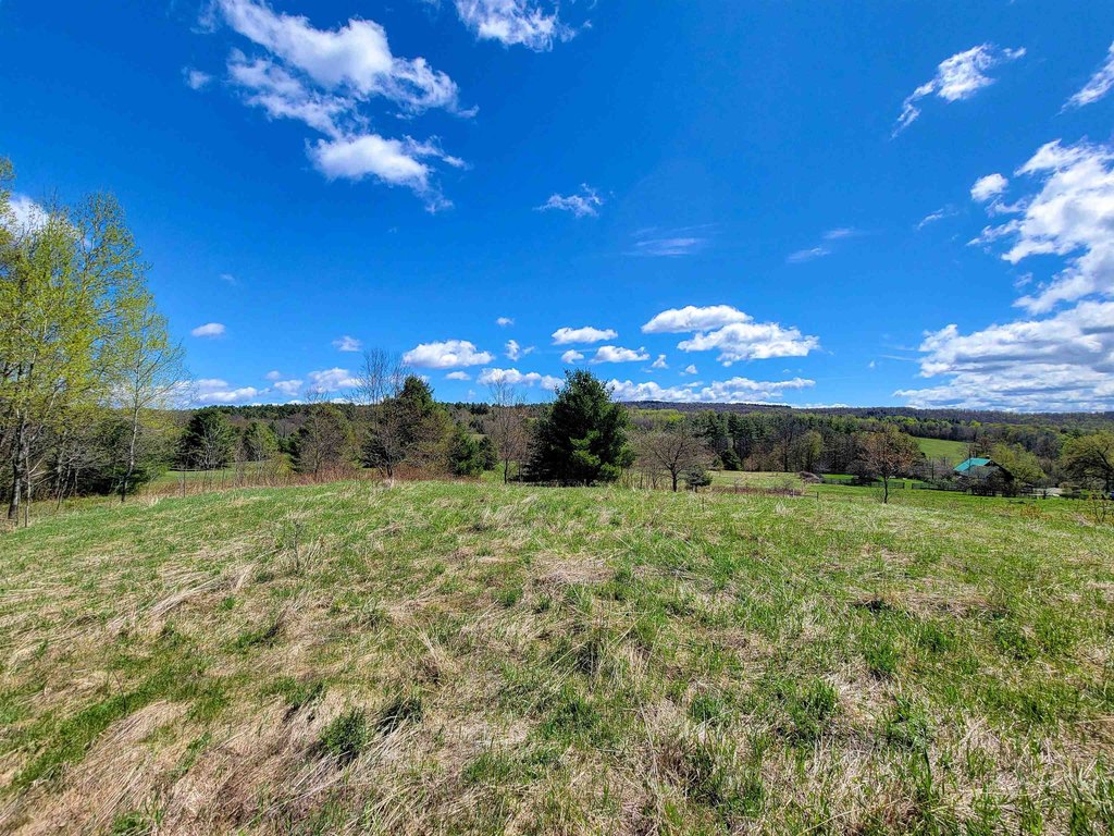
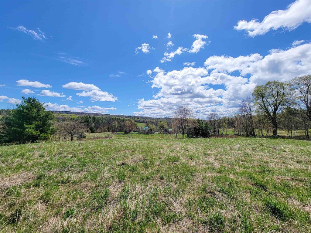
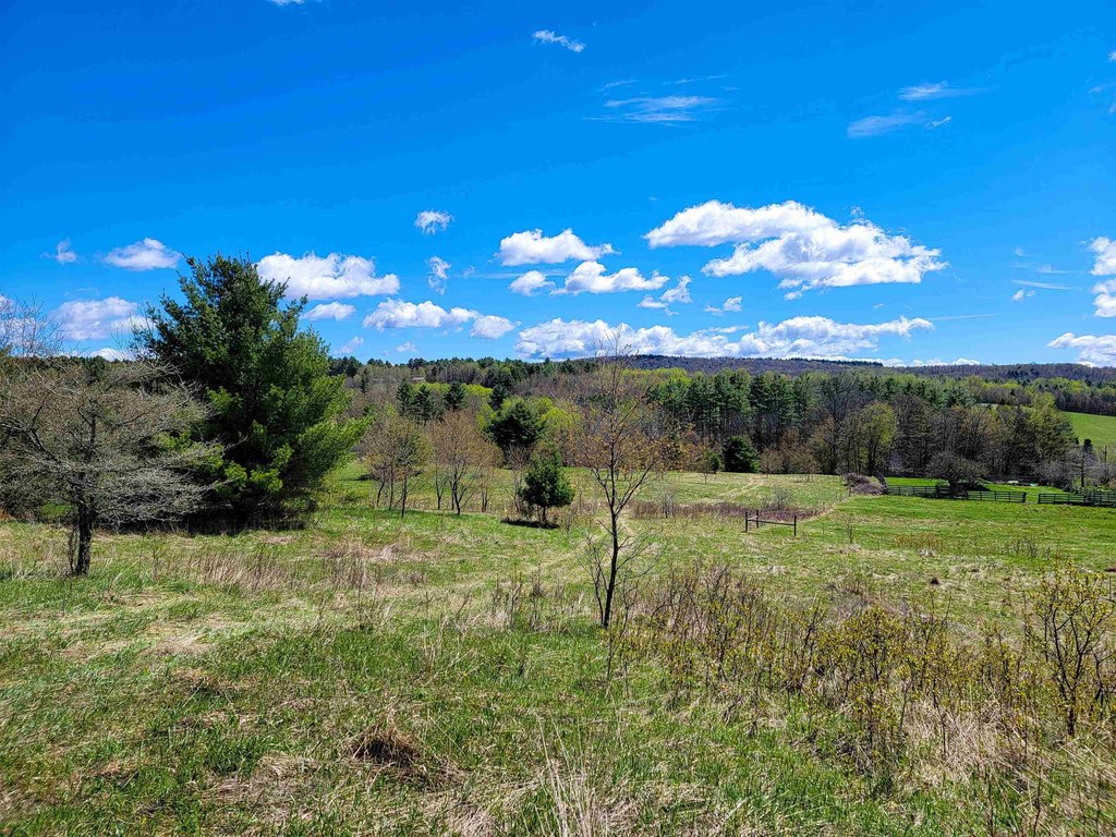
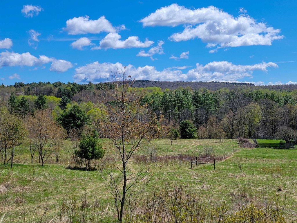
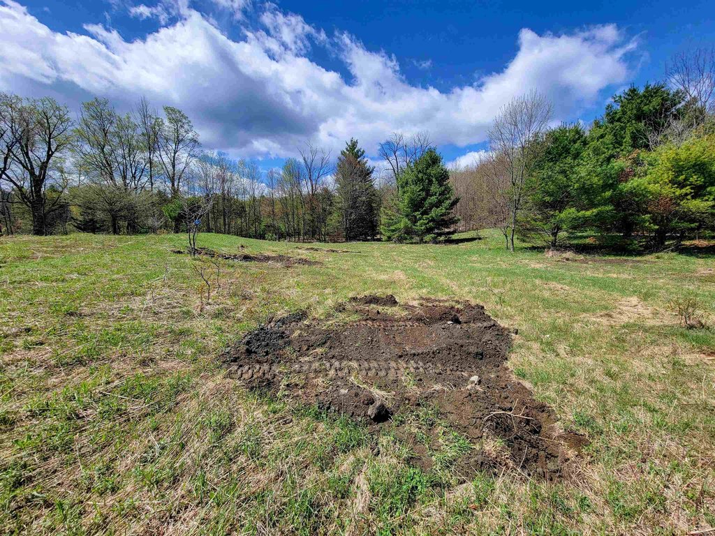
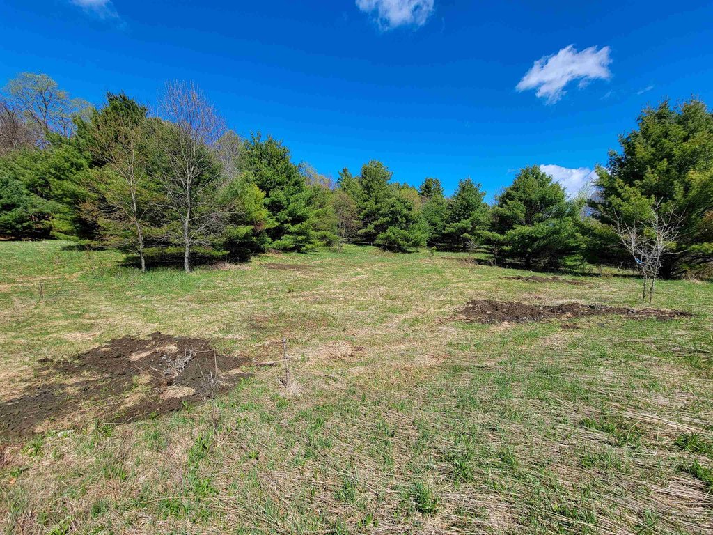
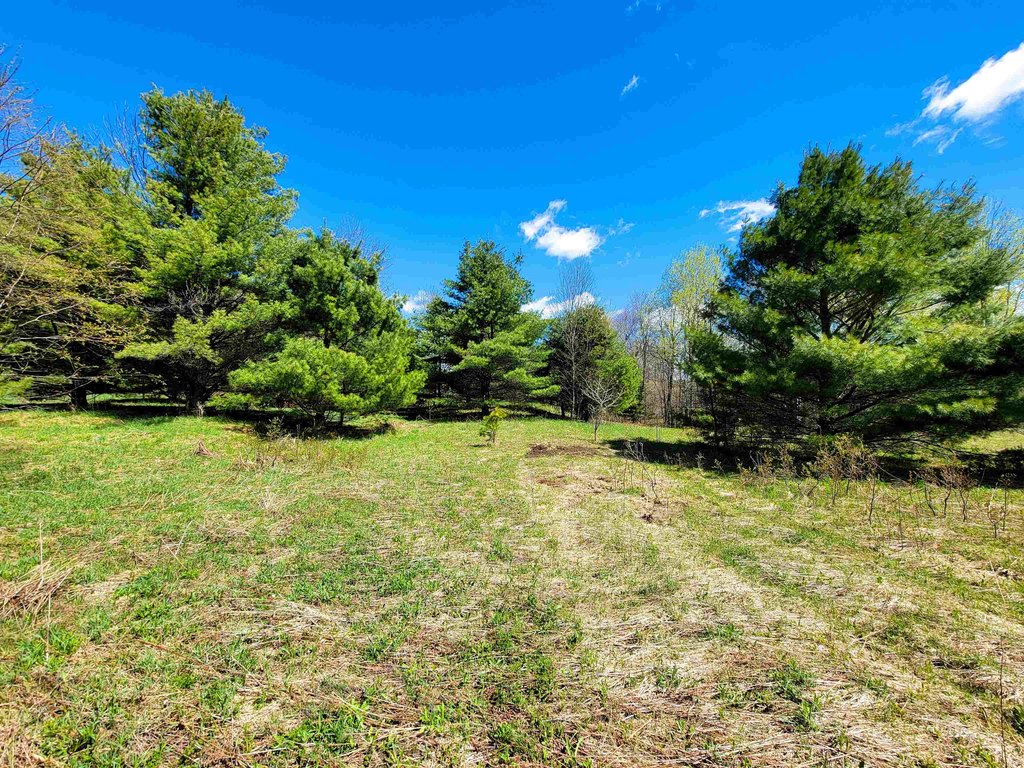
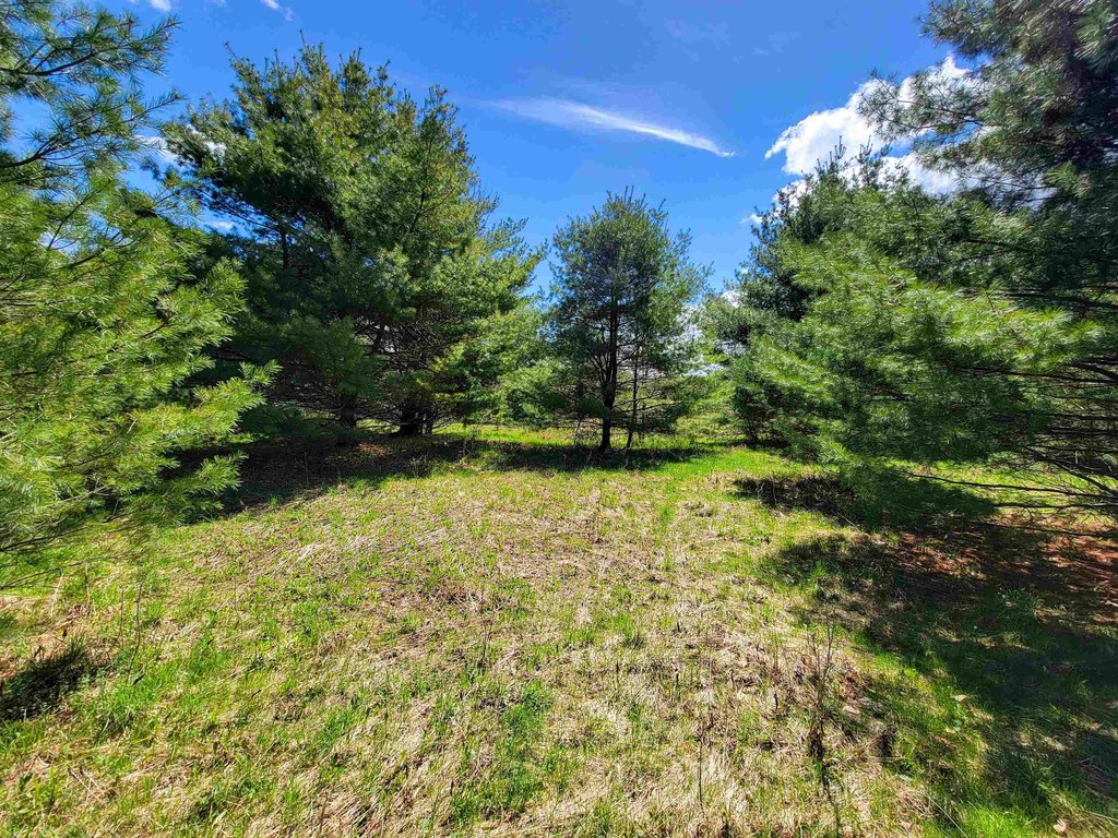
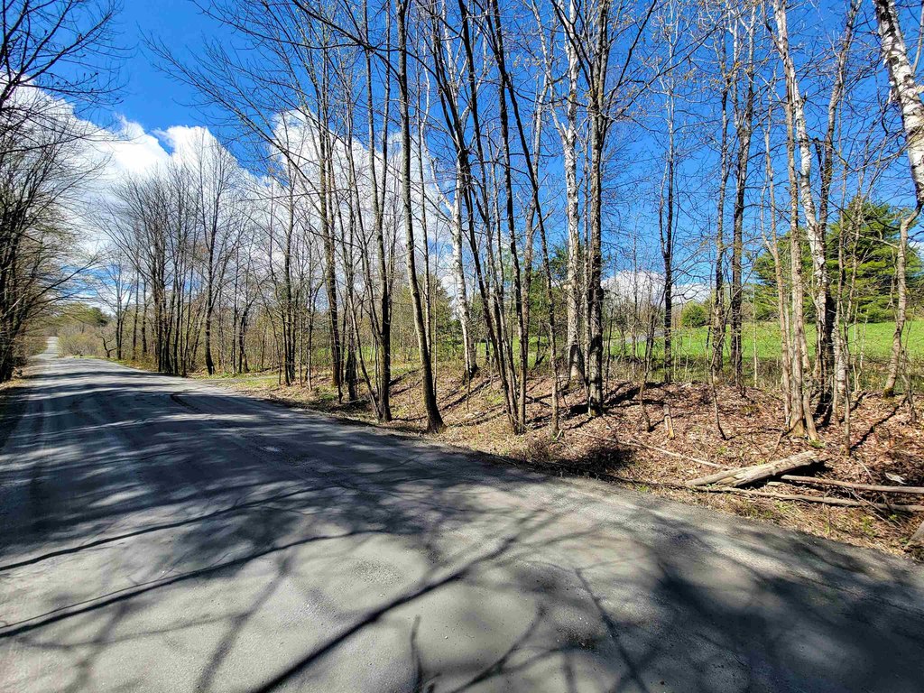
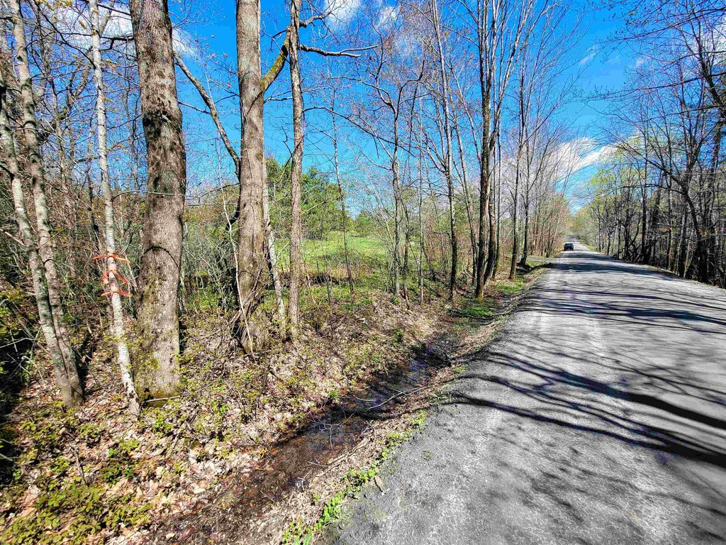
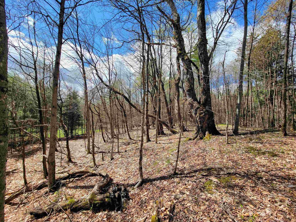
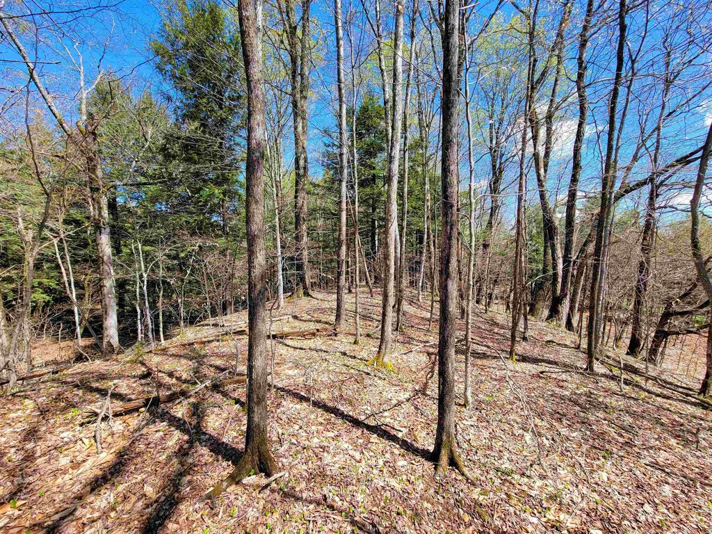
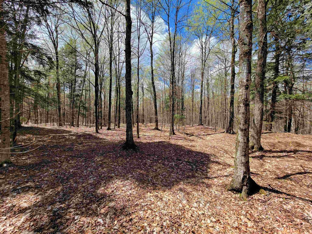
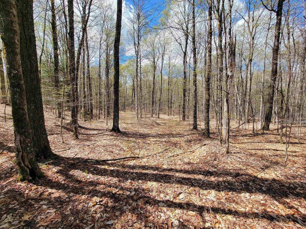
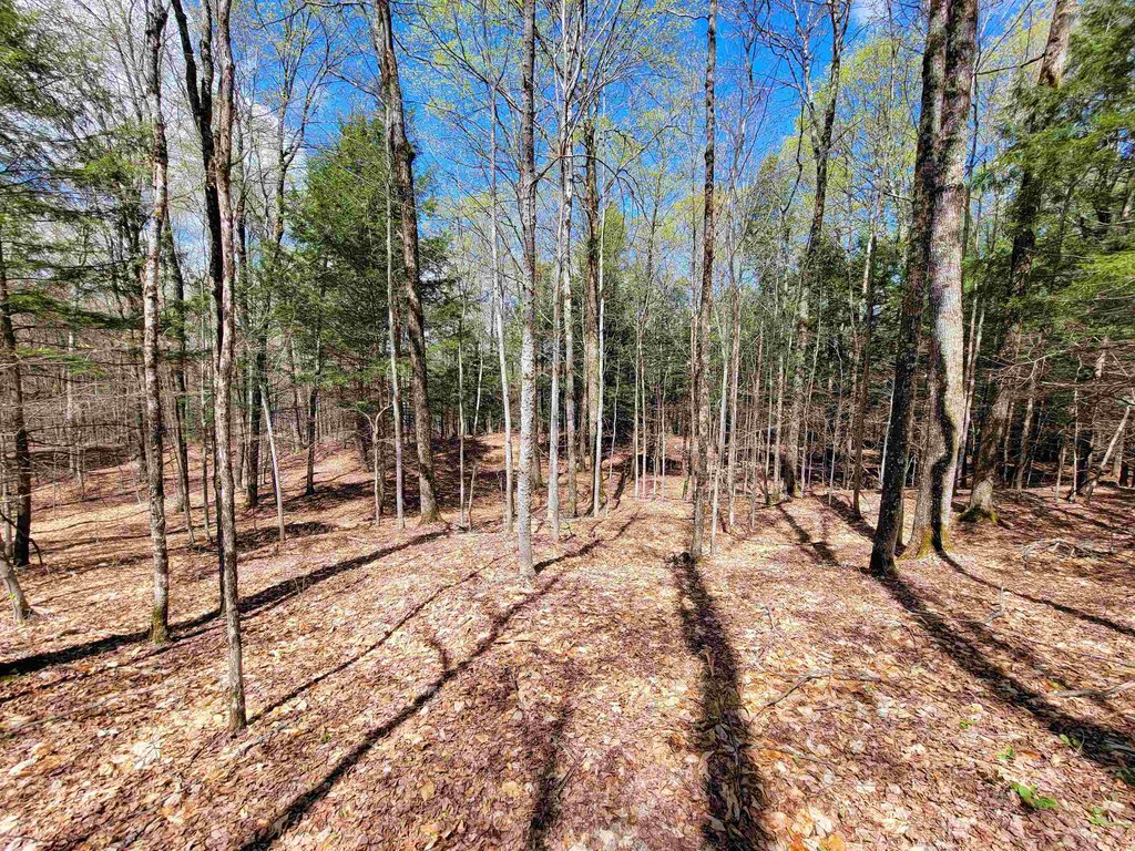
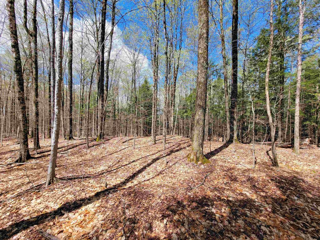
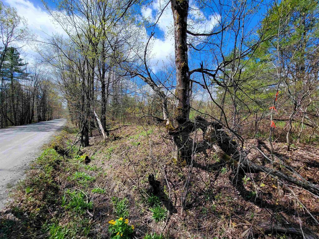
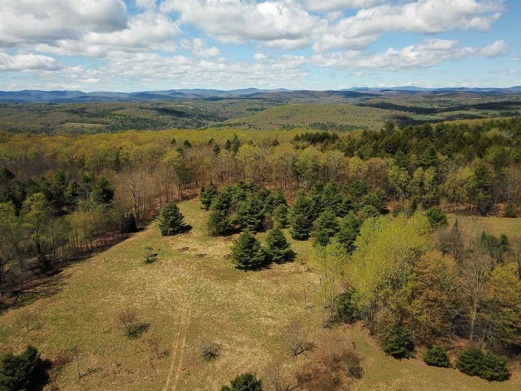
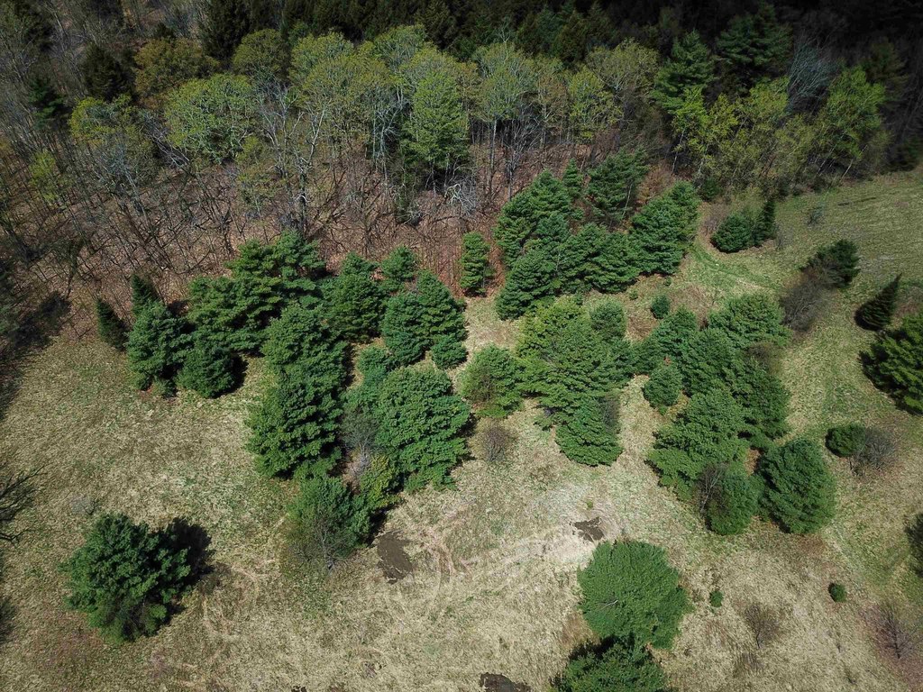
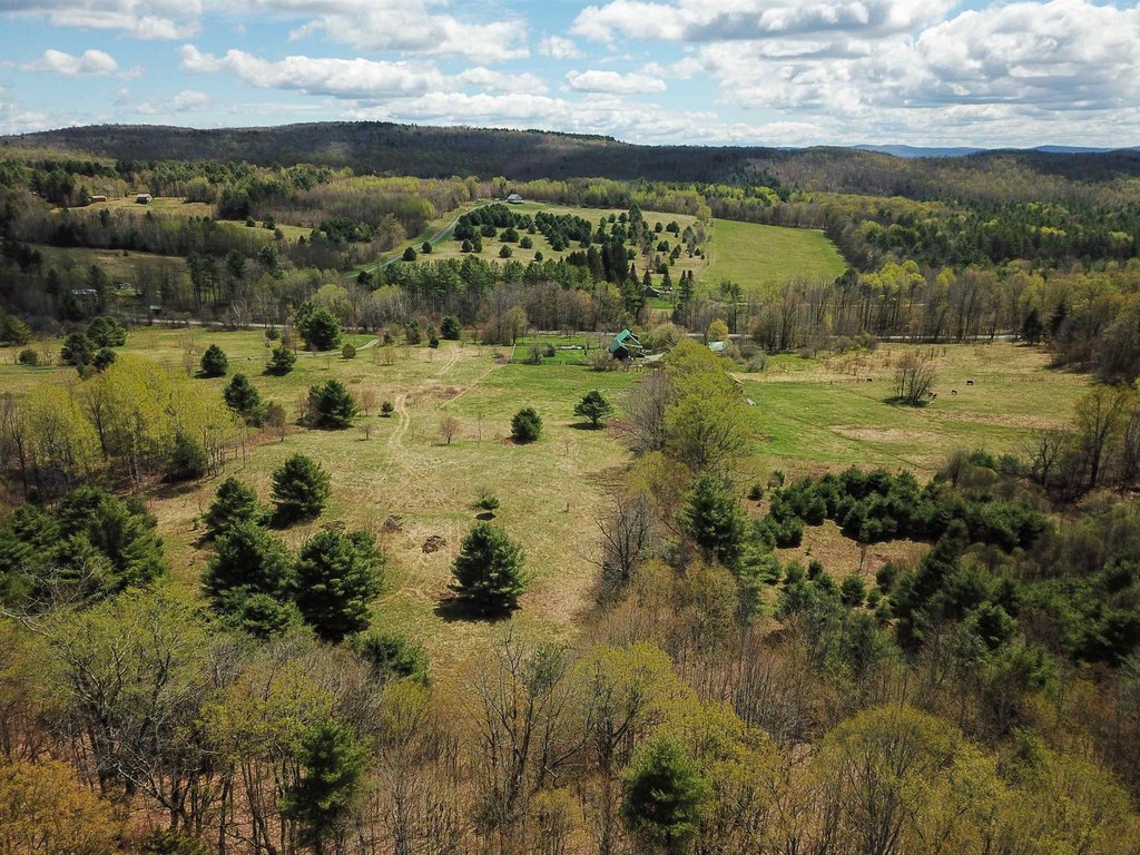
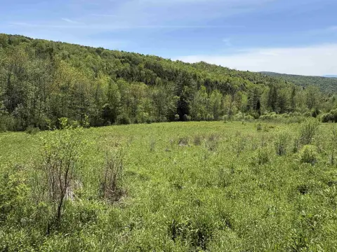
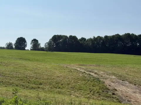
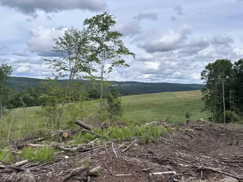
For sale is a 36.95+/- acre land parcel in Brookfield, Vermont, zoned Agricultural/Residential. The property features rolling old pastures and mature hardwood forests, with a natural “knob” located west of the elevated clearing that the septic testing and site layout reference as a potential building location.
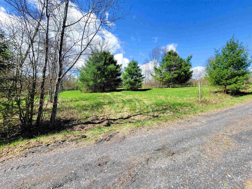
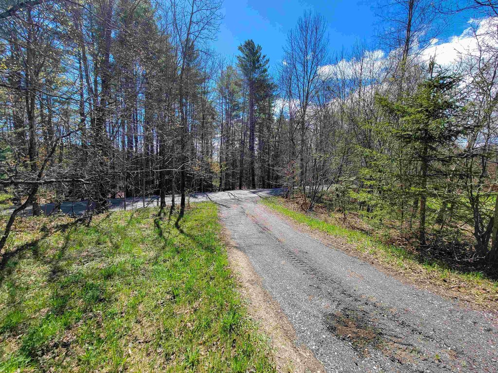
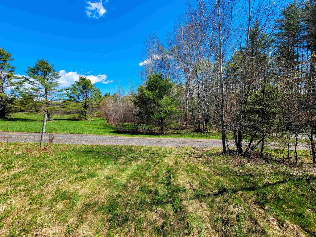
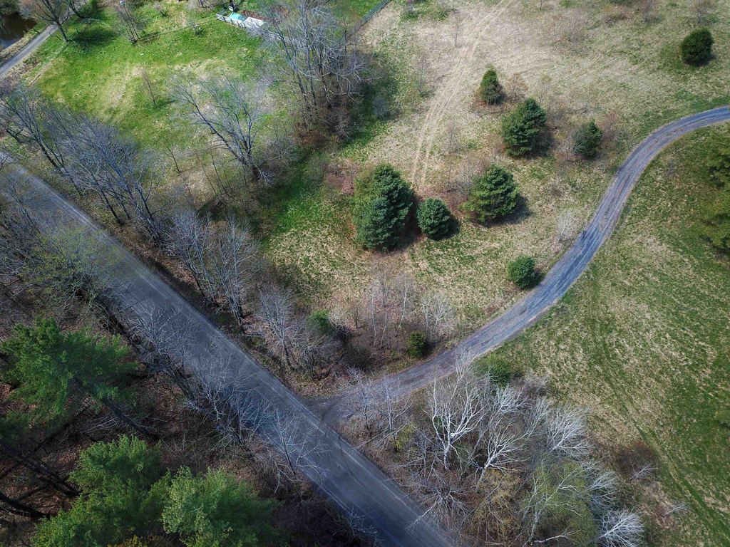
Access is provided via town-maintained Cemetery Street, where a long, flat driveway leads to the clearing with southeastern exposure. Septic testing indicates potential for a four-bedroom mound system. A utility pole just south of the property is noted as the point of connection for power, and high-speed ECFiber internet is described as available.
The acreage is enrolled in the Vermont Current Use Program, with 6.7+/- acres excluded from the program for development, supporting lower annual taxes as stated in the remarks.
Key Highlights
- 36.95+/- acre parcel in Brookfield with a mix of rolling old pastures and mature hardwood forests
- Town‑maintained Cemetery Street access with a long, flat driveway to an elevated clearing with southeastern exposure
- Septic testing indicates potential for a four‑bedroom mound system; well needed and septic needed
Property Analytics
Property Profile
Location Intelligence
Current Use by Public Records
Alt. Energy / Solar ...


FAQs
What type of property is this?
Agricultural land / Farmland - Zoned Agricultural/Residential, this 36.95-acre parcel includes an elevated clearing with potential for a mound septic system.
Where is this agricultural land / farmland located?
The property is located at 667 Cemetery Street Brookfield, VT.
What is the asking price?
The asking price for this property is $165,000.
What are key features of this property?
This property features: 36.95+/- acre parcel in Brookfield with a mix of rolling old pastures and mature hardwood forests; Town‑maintained Cemetery Street access with a long, flat driveway to an elevated clearing with southeastern exposure; Septic testing indicates potential for a four‑bedroom mound system; well needed and septic needed