Agricultural Land with
For Sale
$675,000
62480 WAGONER HILL Ln, Summerville, OR 97876
Land, Summerville, OR
Property SizeContact for details
Lot Size39.09 Acres
Days on Market238
Property Features for 62480 WAGONER HILL Ln
General Information
Property type
Land
Property subtype
Single Family Residence
Zoning
UC-A4
View
Valley
Elementary school
Imbler
Middle school
Imbler
High school
Imbler
Directions
From Imbler turn on Stricker; straight onto Summerville, Main, left on 4th-Makenzie-Hunter-Wagoner
Subdivision
_440
Standard status
Active
APN
10830
Lot size
39.09 Acres
Taxes and HOA fees
Tax Description
01S3816 Tax Lot 200
Tax Annual Amount
351
Legal Description
01S3816 Tax Lot 200
Listing Agency:
Ruby Peak Realty, Inc.
(541) 432-5000
Listed By:
Diane Daggett · License #920500047
(541) 398-1297
Added: Feb 8
Changed: Sep 7
Last Checked: Oct 4 at 8:06PM
MLS# 123623310
Copyright © 2026 Regional Multiple Listing Services. All rights reserved. All information provided by the listing agent/broker is deemed reliable but is not guaranteed and should be independently verified.
Investment Insights
Based on property information with market context.
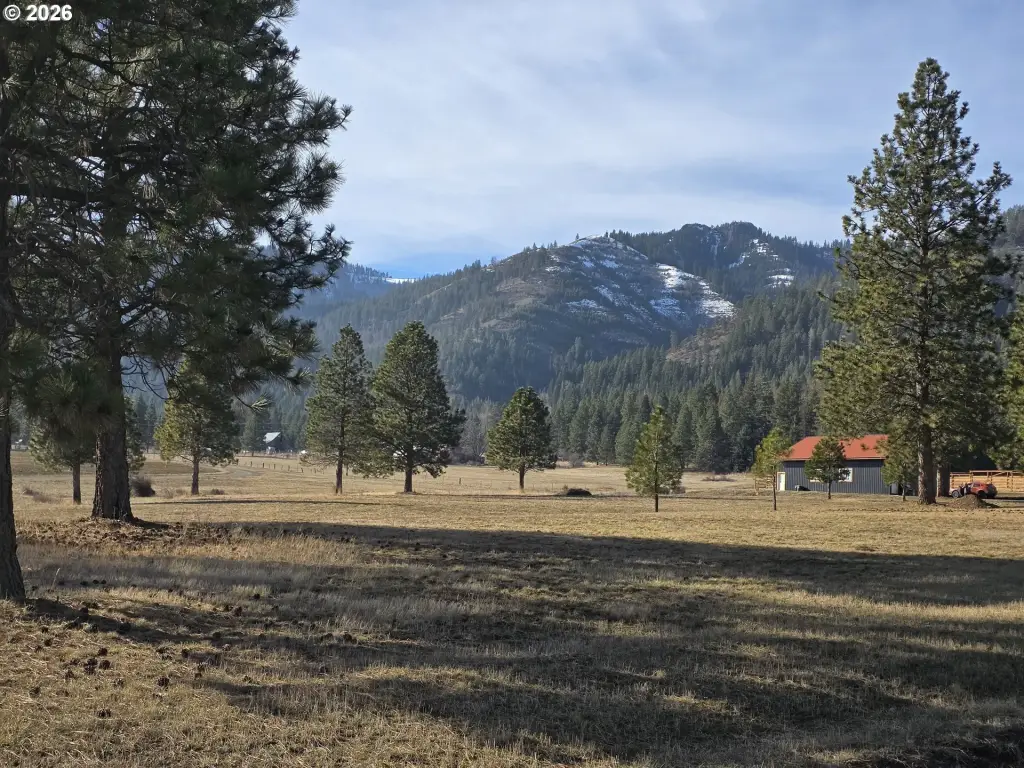
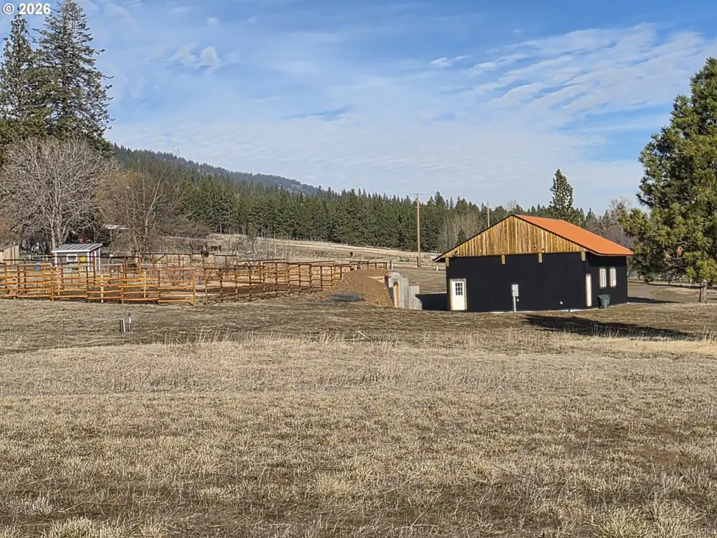
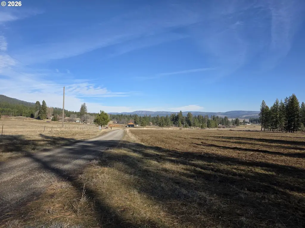
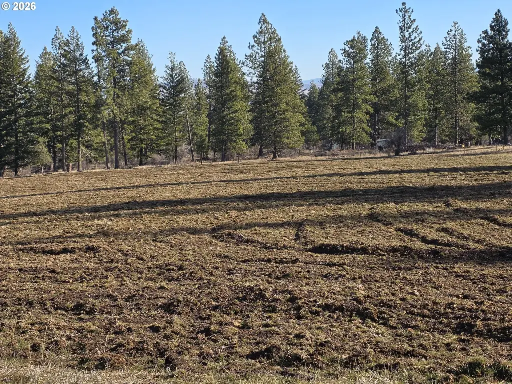
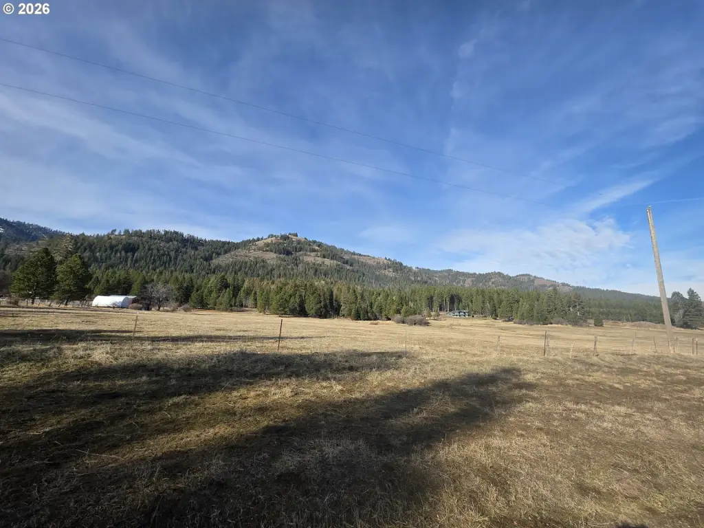
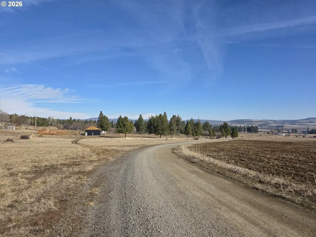
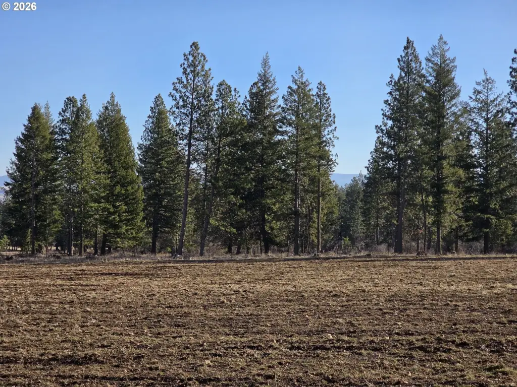
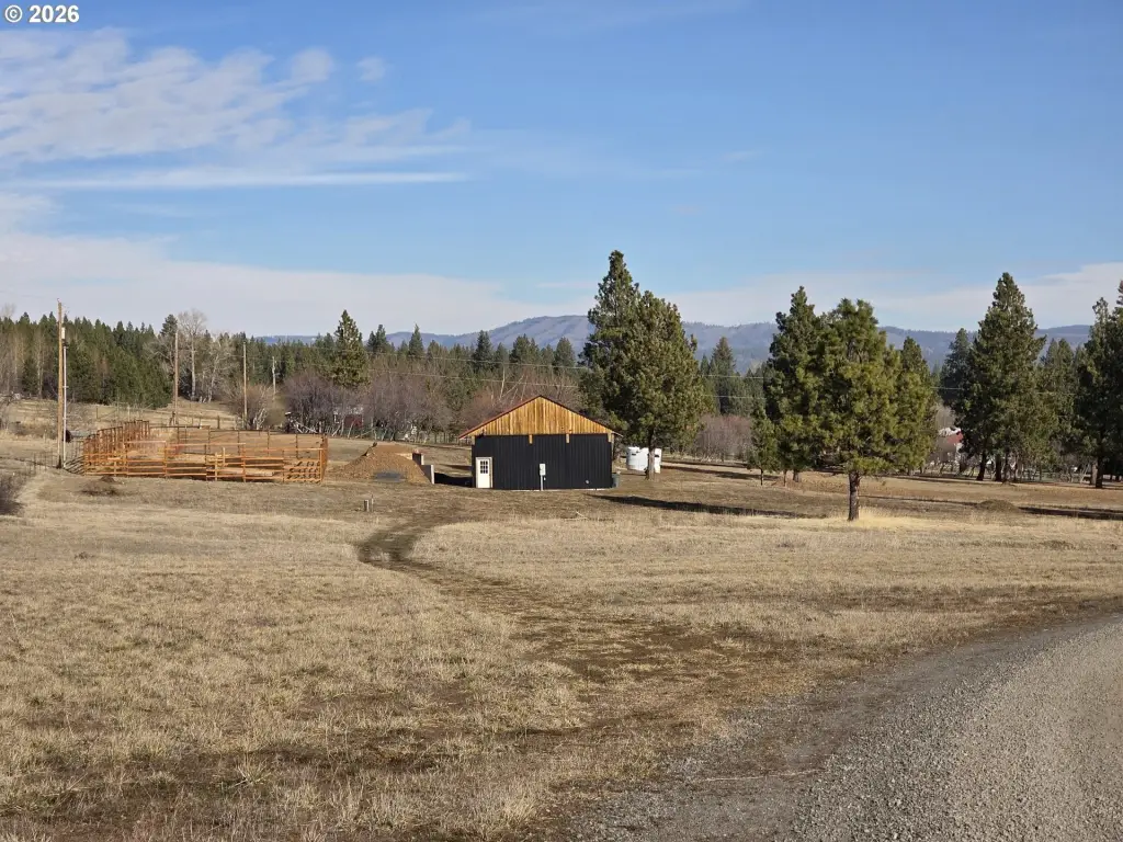
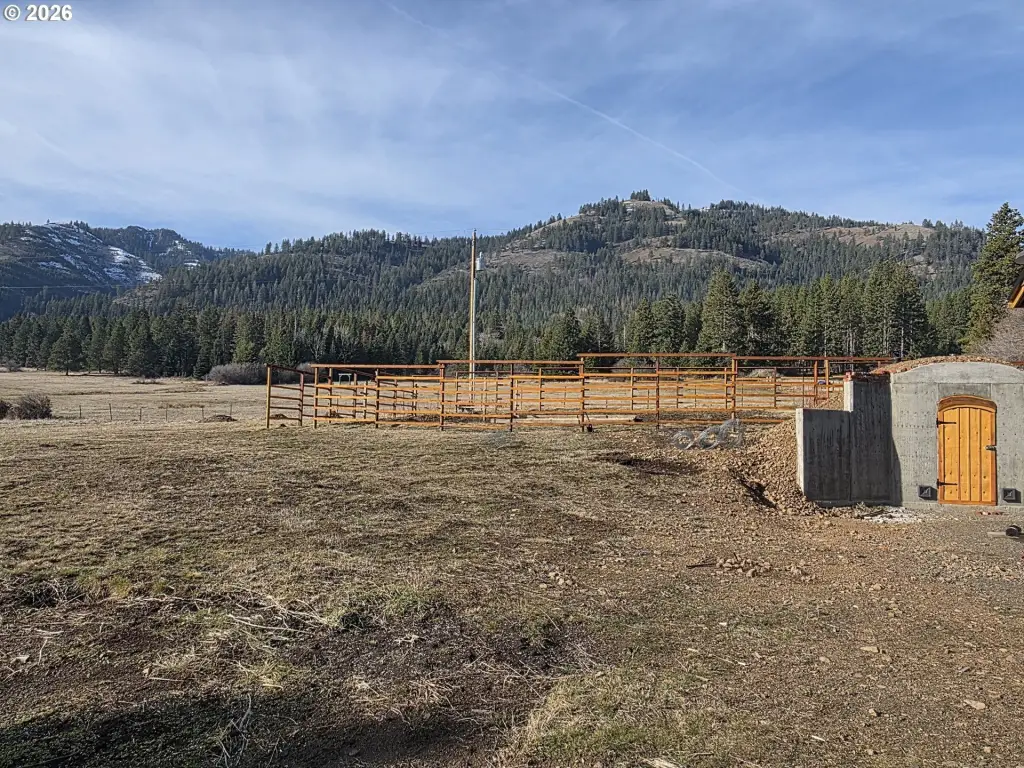
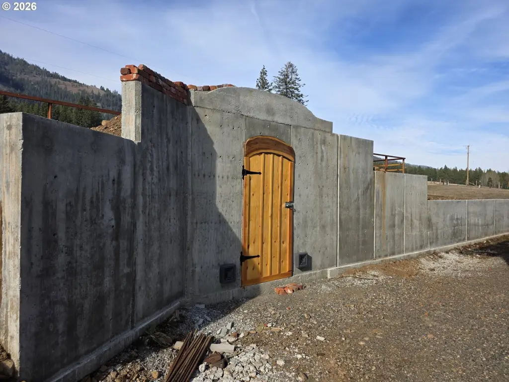
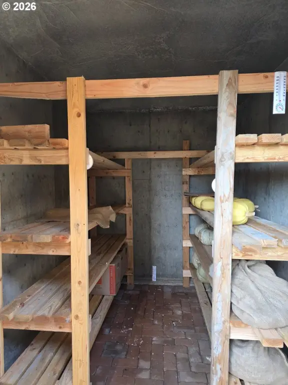
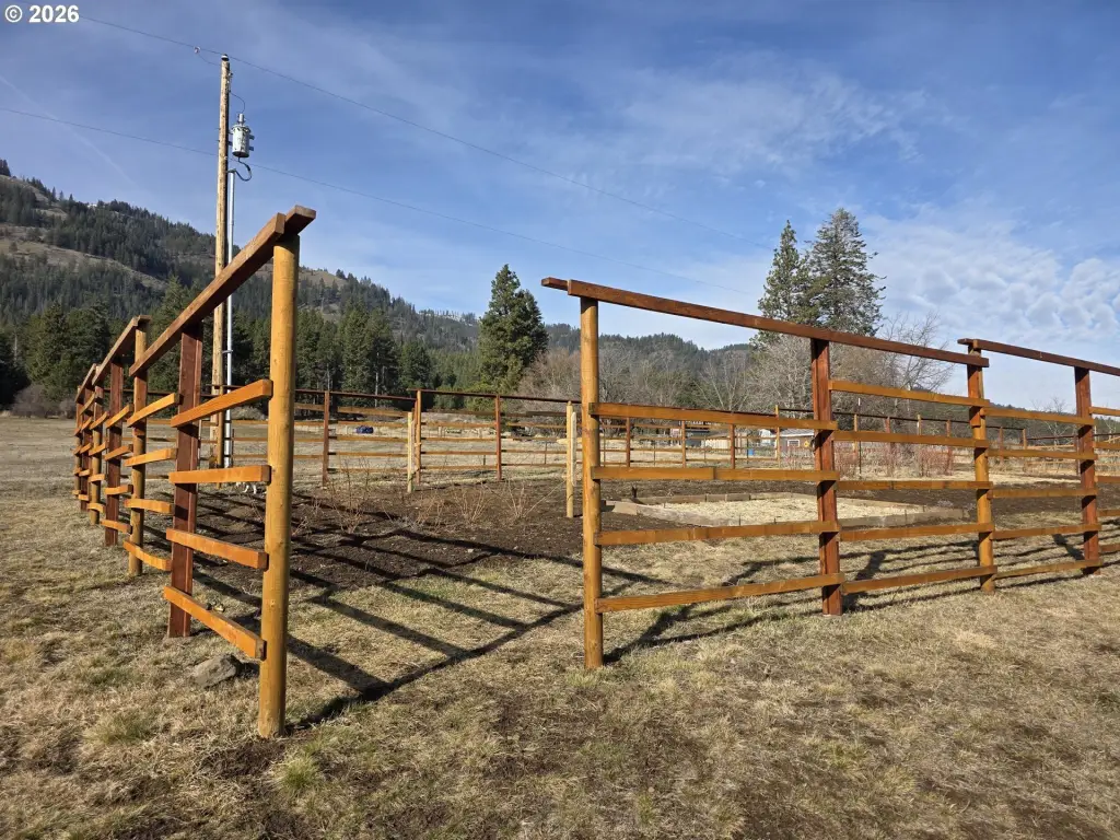
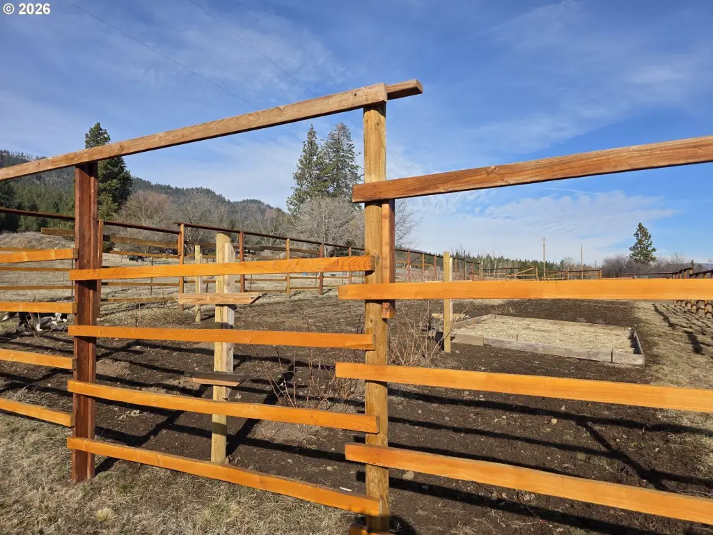
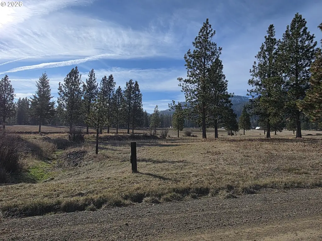
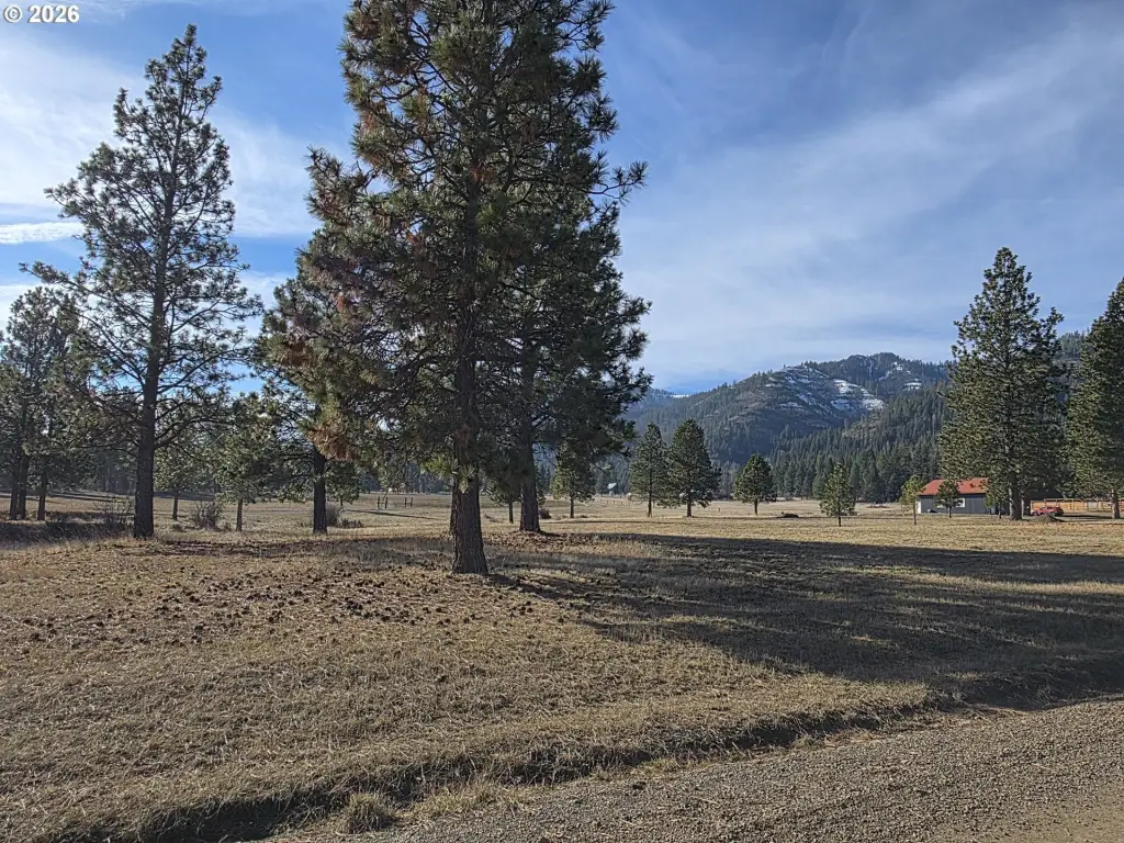
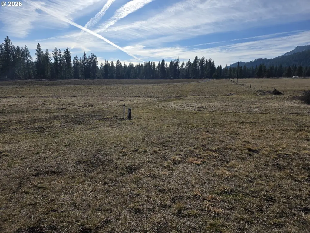
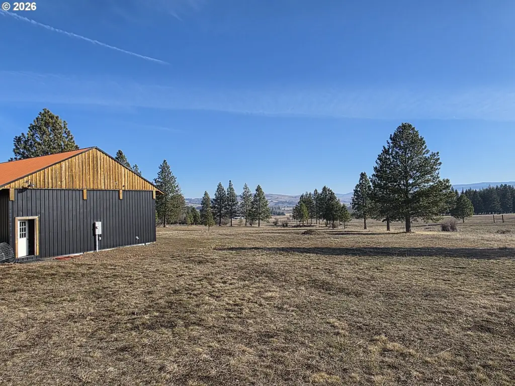
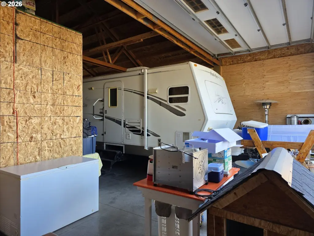
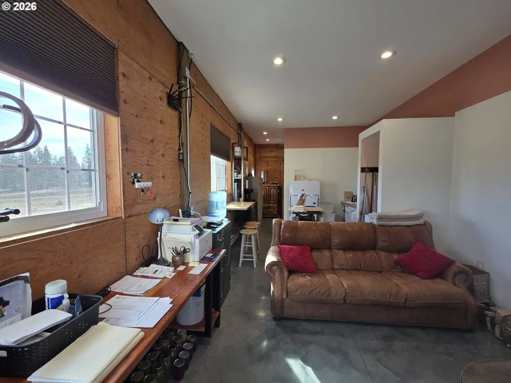
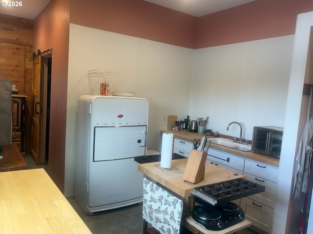
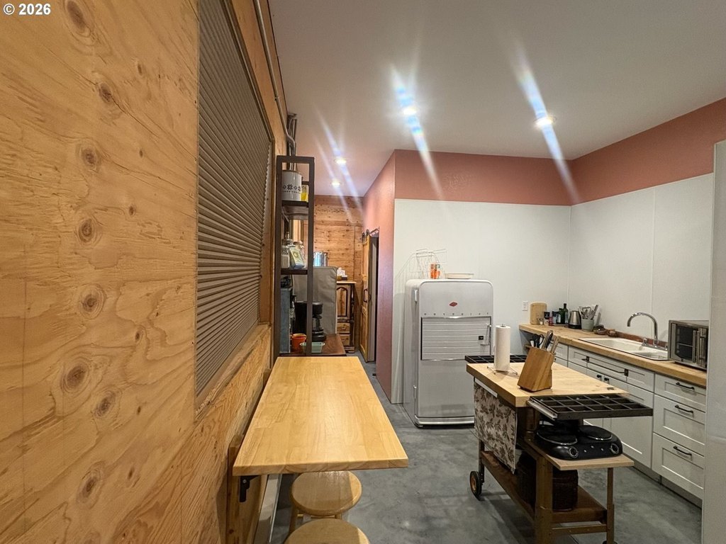
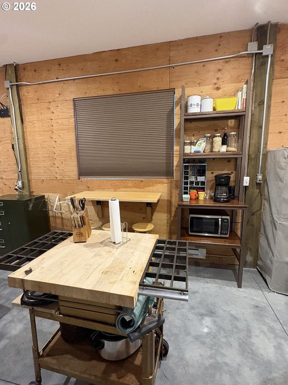
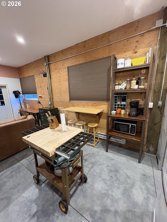
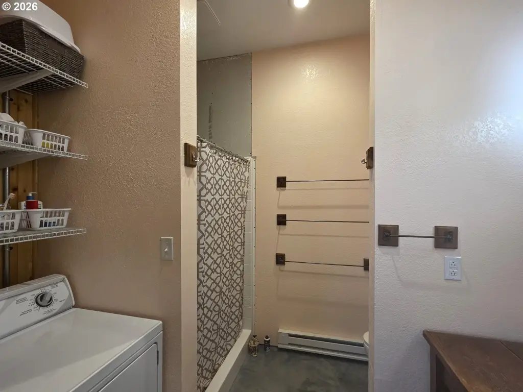
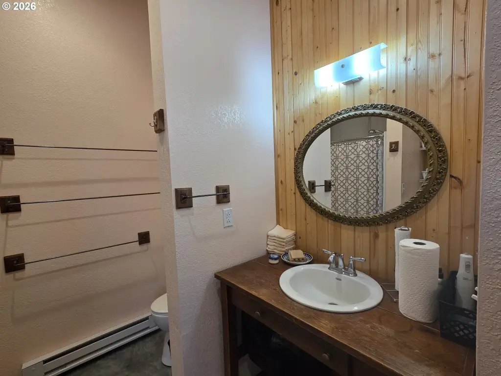
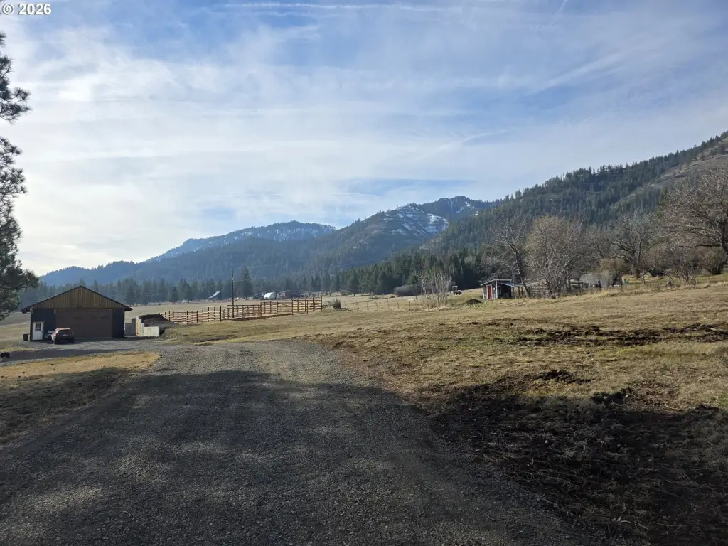
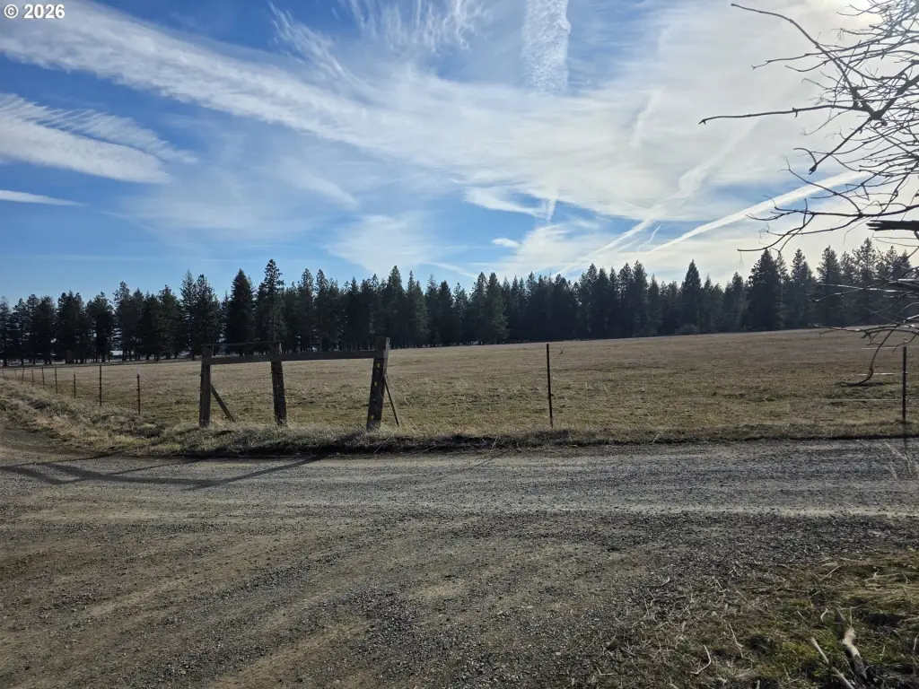
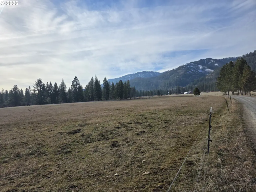
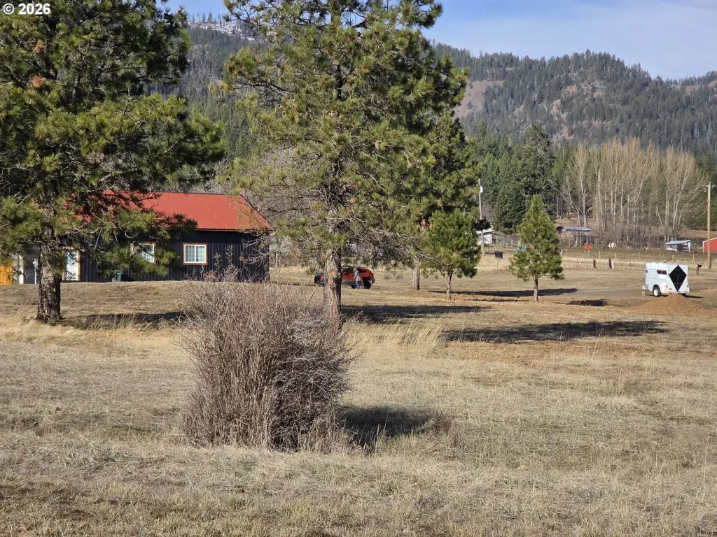
This property consists of nearly 40 acres in a mix of open field, timbered forest, and usable pasture. Improvements include a newly constructed oversized garage, R-21 insulated walls, and a newer variable speed well pump. An enclosed, well-designed commercial kitchen is framed inside, along with a new food storage cellar, a concrete stem wall, and a large garden space intended for year-round usability.
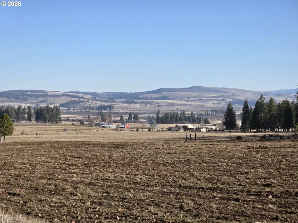
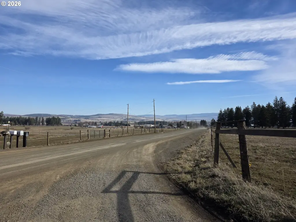
Located near Wagoner Hill Road in Summerville, Oregon, the land is described as offering panoramic views of the Wallowa Mountains, Blue Mountains, Grande Ronde rolling hills, and the valley below. Zoning is UC-A4, and the property is presented as having an approved zone permit to build.
For buyers seeking rural land with practical, existing site work, the established well, septic, and power in place can reduce early development steps. The combination of pasture and timber may support a variety of agricultural or homestead uses, while the oversized garage and insulated interior create immediate utility for equipment storage, workshops, or additional built-out living or working space. The framed commercial kitchen offers a defined layout for food-prep activities, with the food storage cellar and garden area supporting ongoing self-sufficient planning.
Located near Wagoner Hill Road in Summerville, Oregon, the land is described as offering panoramic views of the Wallowa Mountains, Blue Mountains, Grande Ronde rolling hills, and the valley below. Zoning is UC-A4, and the property is presented as having an approved zone permit to build.
For buyers seeking rural land with practical, existing site work, the established well, septic, and power in place can reduce early development steps. The combination of pasture and timber may support a variety of agricultural or homestead uses, while the oversized garage and insulated interior create immediate utility for equipment storage, workshops, or additional built-out living or working space. The framed commercial kitchen offers a defined layout for food-prep activities, with the food storage cellar and garden area supporting ongoing self-sufficient planning.
Key Highlights
- 40‑acre property with panoramic views of multiple mountain ranges and the valley.
- Established well, septic, and power already in place, with approved zone permit to build.
- Newly constructed oversized garage** with R‑21 insulated walls and newer technology variable speed well pump.
Property Analytics
Unlock full access to Insights
Subscribe to Realmo Intelligence
Open Analytics
Current Use
Lease Details
Yes
Utilities to site
Location Intelligence
Trade Area within ½ mile
2
Businesses Nearby
Explore this area
Business Placement
Demographics for 97876, OR
863
Population
446
Households
1.9
Avg Household Size
50
Median Age
39%
College-Educated
98%
High-School Grad
57.9 sq mi
ZIP Area
15
Density / Sq Mi
$116,146
Median Household Income
$57,426
Median Earnings
$1,560
Median Rent
$434,400
Median Home Value
Check the figures for this property
Cap Rate, Value Estimation, Potential NOI and more
View Realmo Analytics

Questions? Ask Rey
Realmo’s AI knows this listing — price, zoning, demand, history. Ask anything.
Frequently Asked Questions
What type of property is this?
Agricultural land / Farmland - Nearly 40 acres with pasture, timber, and build-ready utilities, plus an oversized garage and insulated interior space.
Where is this agricultural land / farmland located?
The property is located at 62480 WAGONER HILL Ln Summerville, OR.
What is the asking price?
The asking price for this property is $675,000.
What are key features of this property?
This property features: 40‑acre property with **panoramic views** of multiple mountain ranges and the valley.; Established well, septic, and power already in place, with approved zone permit to build.; Newly constructed oversized garage** with R‑21 insulated walls and newer technology variable speed well pump.



