Highway-Frontage Agricultural
For Sale
$1,224,080
Pending
Highway 61 and Church Road, Walls, MS 38680
Commercial Sale, Walls, MS
Property SizeContact for details
Lot Size222.56 Acres
Days on Market372
Property Features for Highway 61 and Church Road
General Information
Property type
Commercial Sale
Property subtype
Other
High school district
000000
Directions
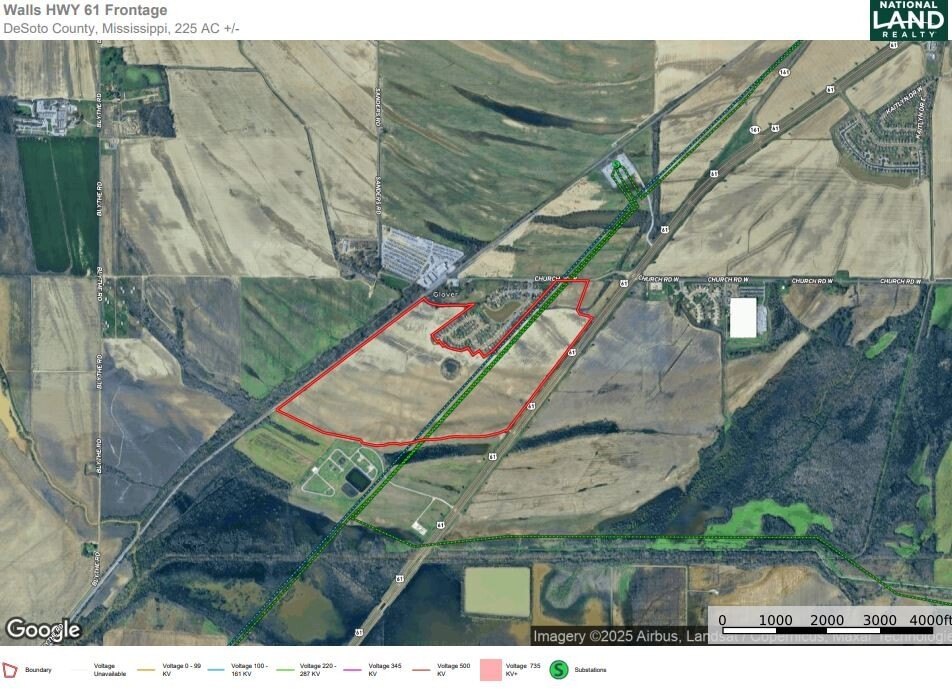
The farm is on the west side of Highway 61 at the Church Road intersection.
Standard status
Pending
APN
209308000 0000104, 209307000 0000203
Lot size
222.56 Acres
Listing Agency:
National Land Realty, Robinsonville, MS
(855) 384-5263
Listed By:
Louis Holbrook
(855) 384-5263
Added: Aug 14, 2025
Changed: Aug 20
Last Checked: Aug 20 at 10:06PM
MLS# 11558547
Copyright © 2026 My State MLS. All rights reserved. All information provided by the listing agent/broker is deemed reliable but is not guaranteed and should be independently verified.
Investment Insights
Based on property information with market context.
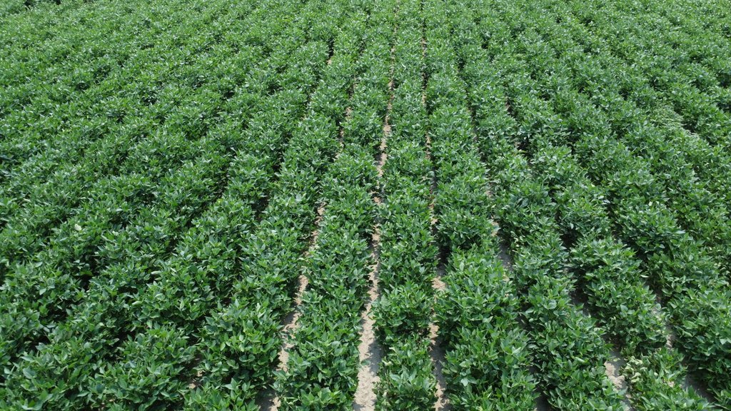
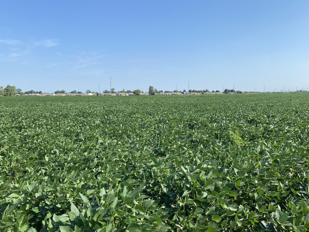
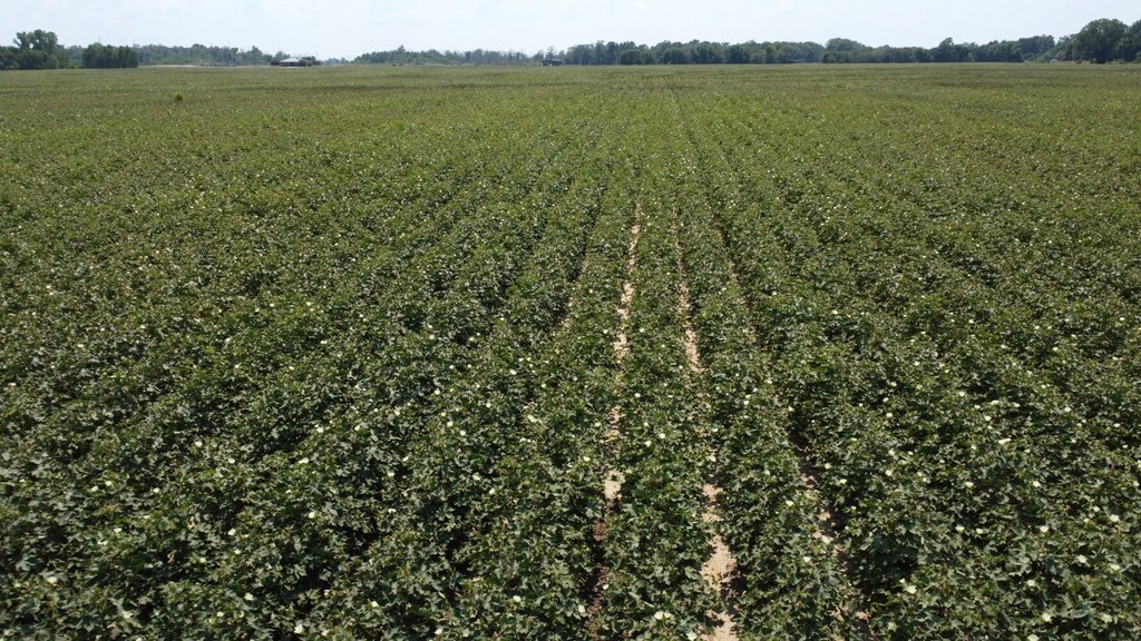
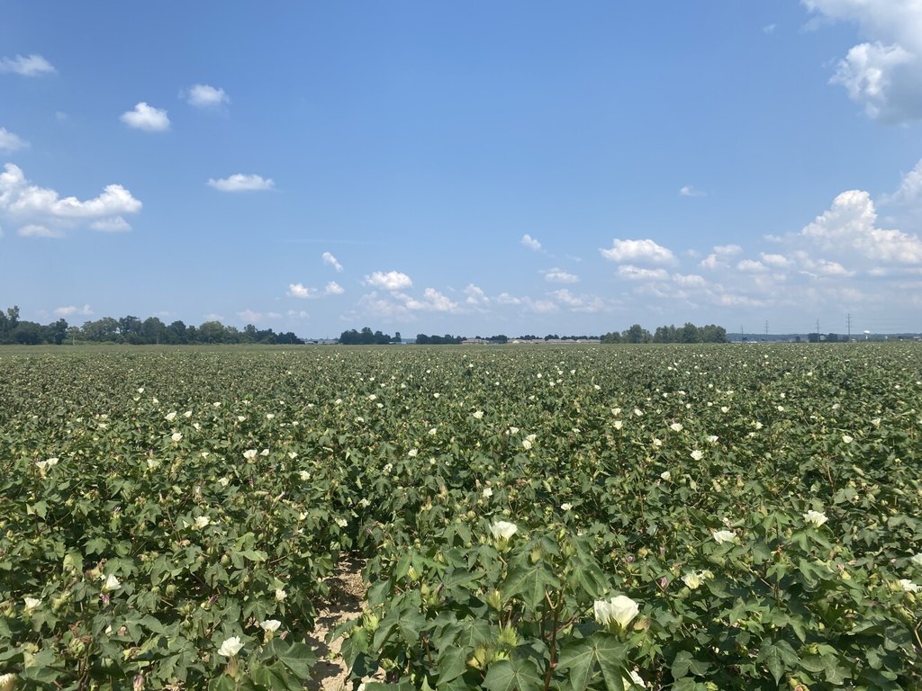
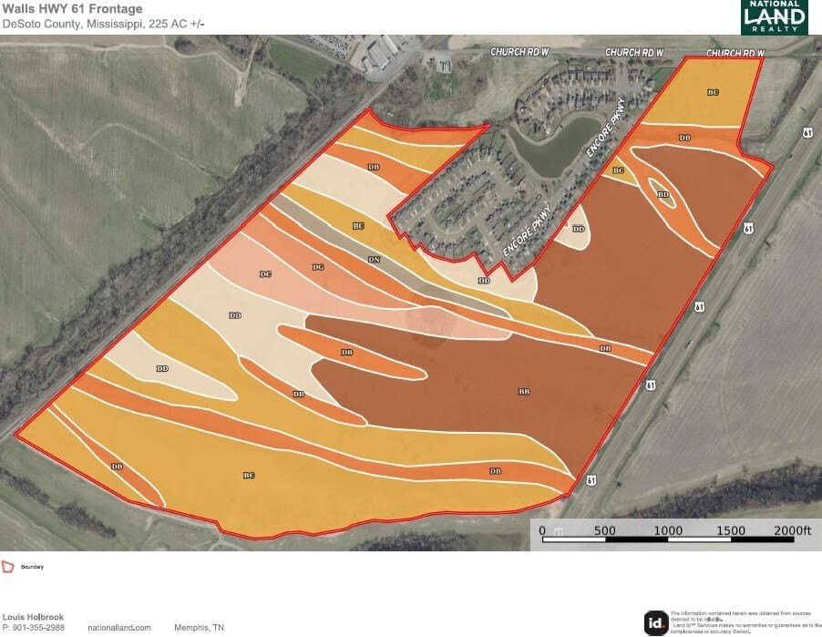
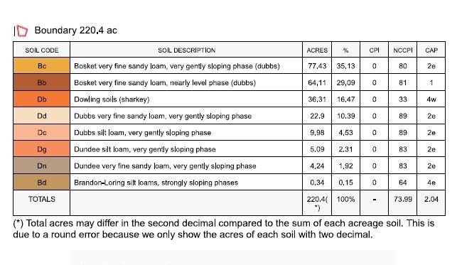
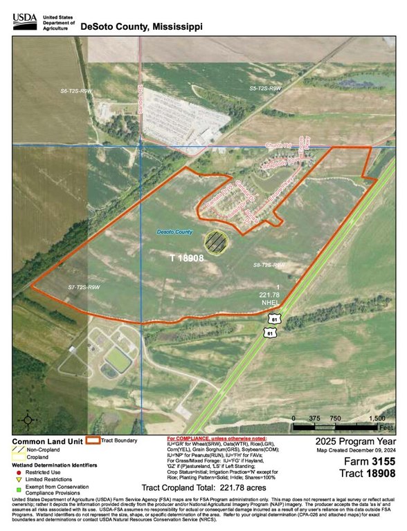
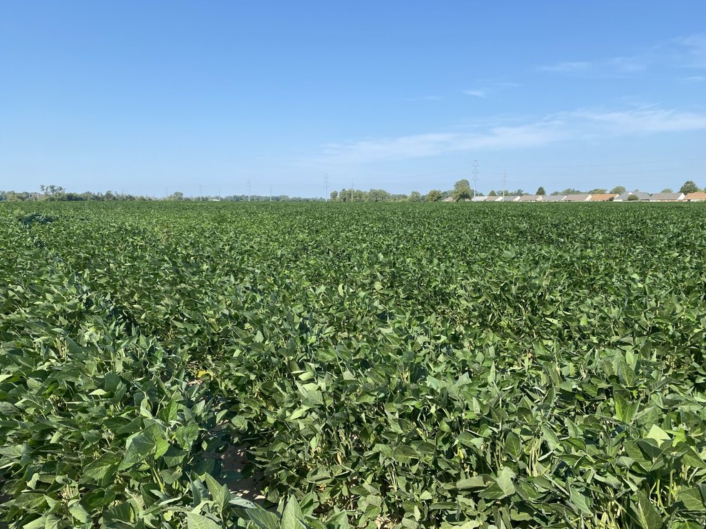
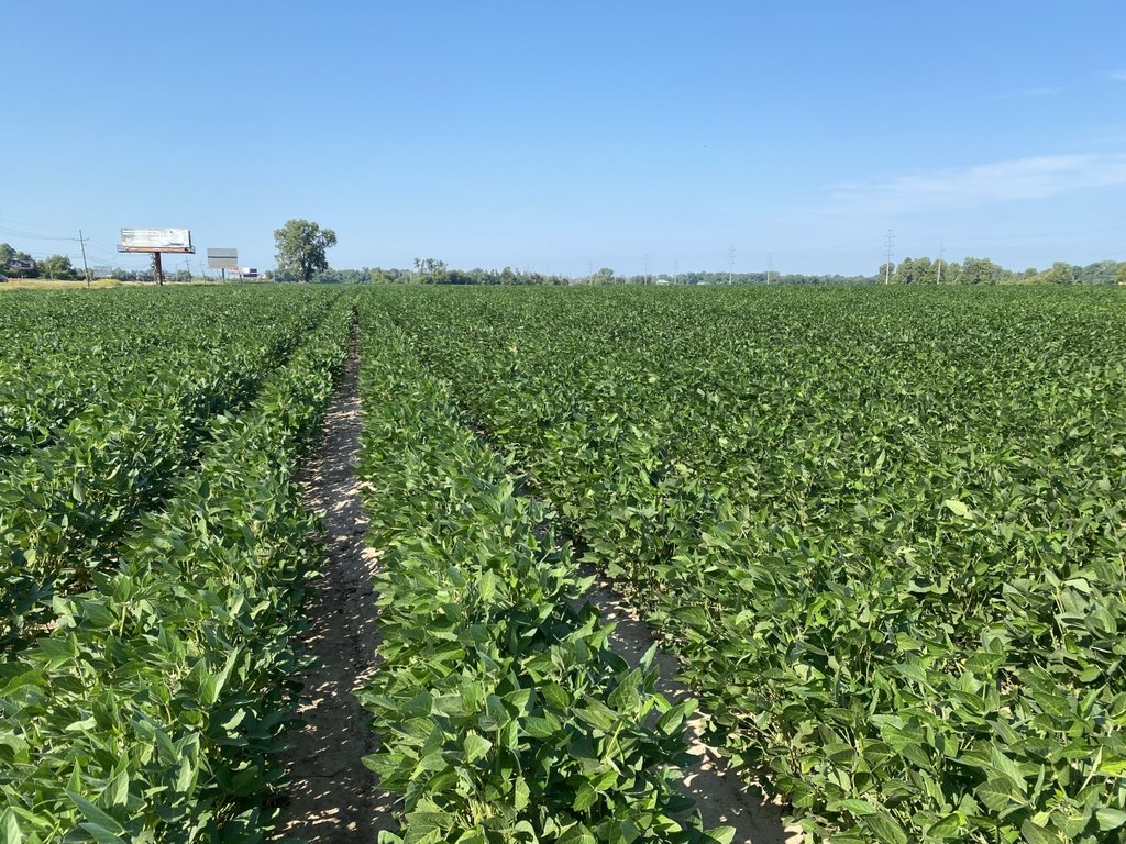
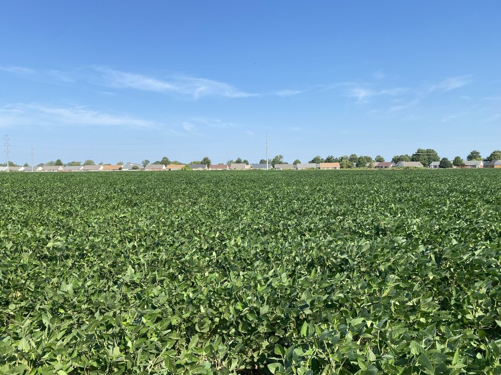
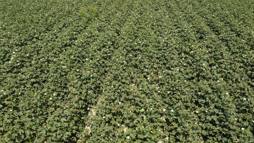
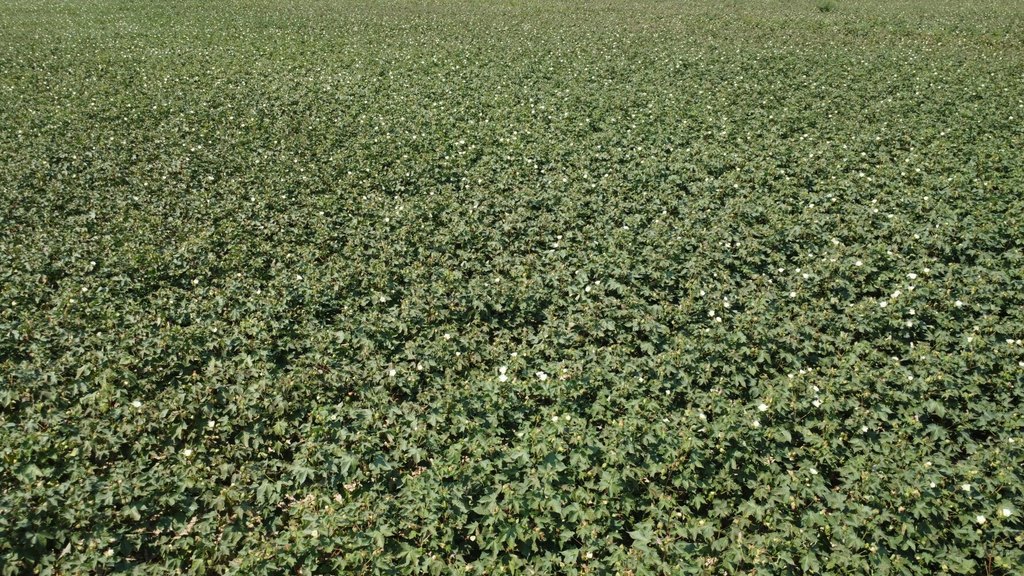
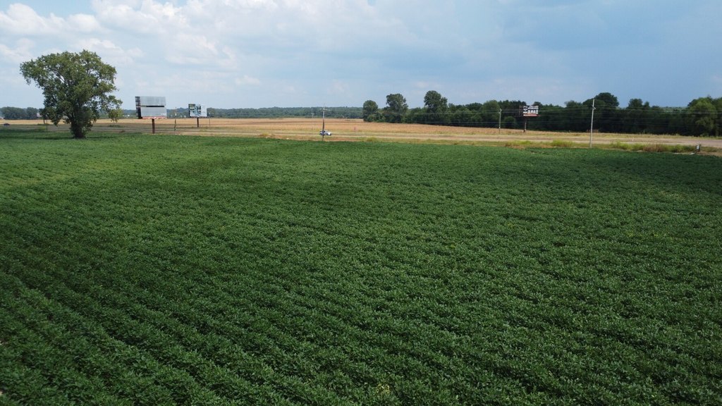
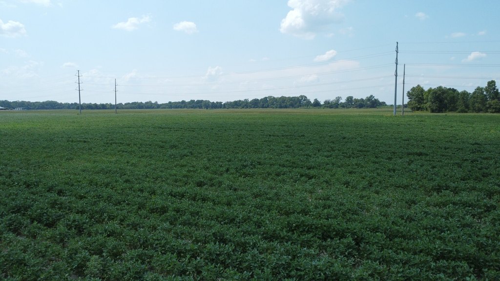
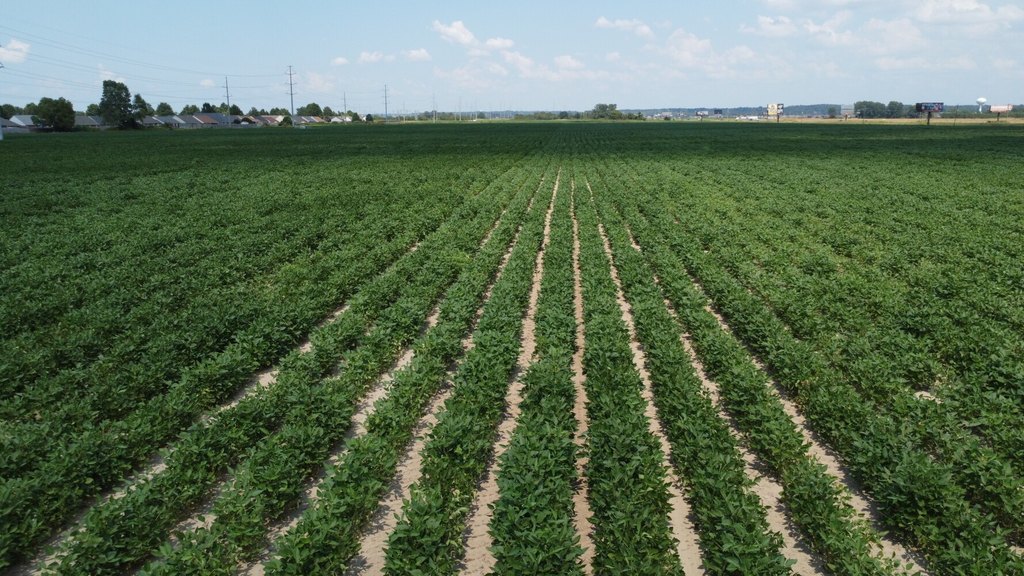
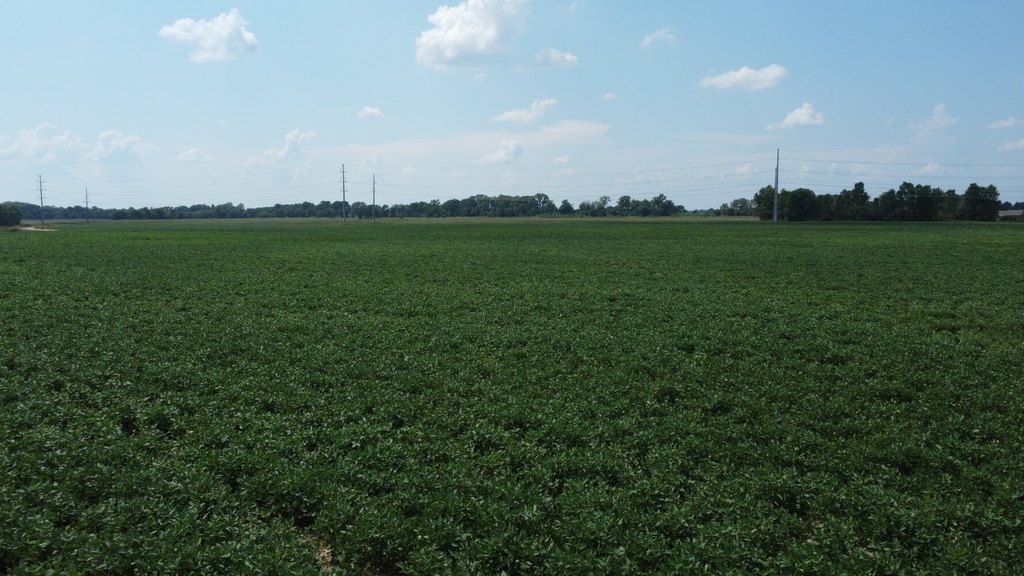
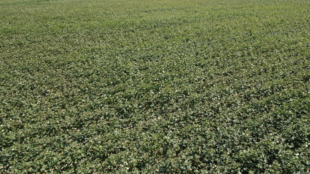
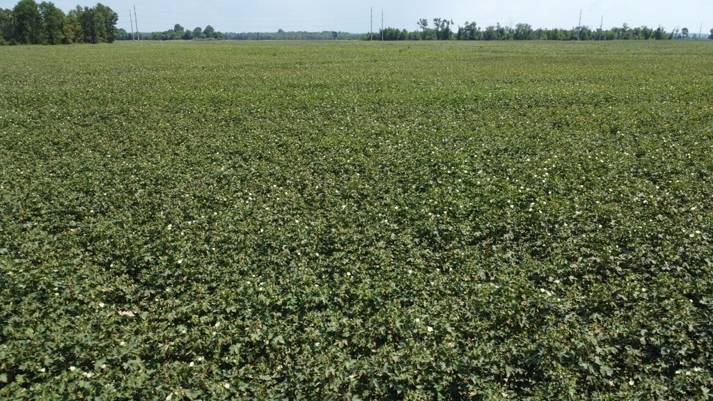
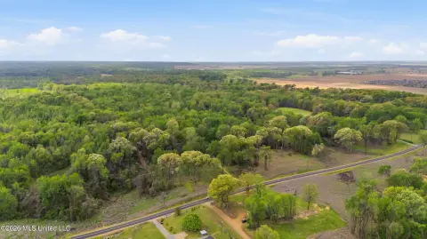
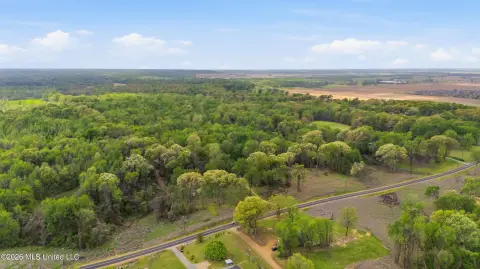
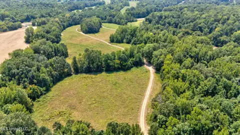
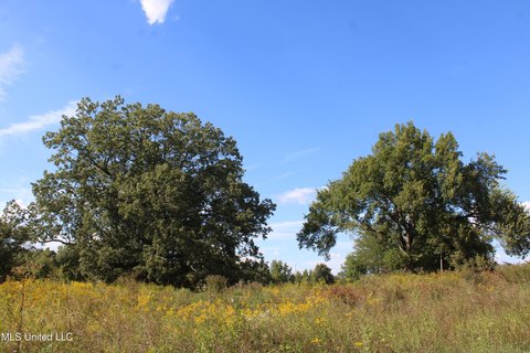
The Glover Farm encompasses 222.56 surveyed acres in De Soto County, including 221.78 acres of cropland. The tract has 209 base acres allocated among 32 wheat, 42 soybeans, 108 cotton, and 27 generic base acres. For the 2025 crop season, approximately 115 acres are planted in cotton, with the balance in soybeans. Soil composition includes 76% very fine sandy loam, 8% silt loam, and 16% Sharkey soil. The farm is leased on a year-to-year basis.
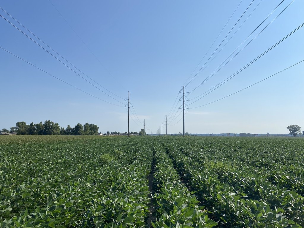
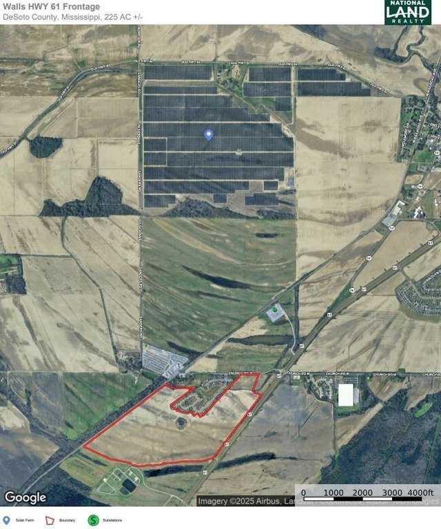
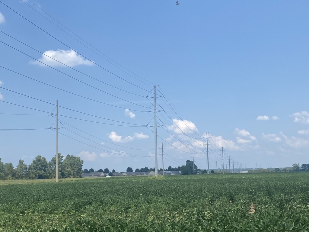
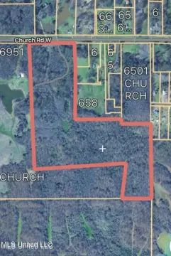
Access is provided at the intersection of Highway 61 and Church Road, with 1/2 mile of highway frontage and 600 feet along Church Road. Two transmission lines cross the property, and a substation is located 1/2 mile north. A 625-acre solar farm lies a mile north, while a gated community to the north was developed in phases from 2007 through 2017. The property is identified as suitable for continued farming as well as residential, commercial, or solar development.
Access is provided at the intersection of Highway 61 and Church Road, with 1/2 mile of highway frontage and 600 feet along Church Road. Two transmission lines cross the property, and a substation is located 1/2 mile north. A 625-acre solar farm lies a mile north, while a gated community to the north was developed in phases from 2007 through 2017. The property is identified as suitable for continued farming as well as residential, commercial, or solar development.
Key Highlights
- 222.56 surveyed acres, including 221.78 acres of cropland
- 209 base acres: 32 wheat, 42 soybeans, 108 cotton, and 27 generic base
- 1/2 mile of Highway 61 frontage plus 600 feet on Church Road
Property Analytics
Property Profile
Current Use
Lease Details
Yes
Highway access
Yes
Paved road access
Location Intelligence
Trade Area within ½ mile
5
Businesses Nearby
Explore this area
Business Placement
Demographics for 38680, MS
6,582
Population
2,949
Households
2.2
Avg Household Size
35
Median Age
21%
College-Educated
85%
High-School Grad
24.2 sq mi
ZIP Area
272
Density / Sq Mi
$68,567
Median Household Income
$41,992
Median Earnings
$1,206
Median Rent
$192,900
Median Home Value

Questions? Ask Rey
Realmo’s AI knows this listing — price, zoning, demand, history. Ask anything.





Frequently Asked Questions
What type of property is this?
Farm - Cropland with access from Highway 61 and Church Road supports continued agricultural use.
Where is this farm located?
The property is located at Highway 61 and Church Road Walls, MS.
What is the asking price?
The asking price for this property is $1,224,080.
What are key features of this property?
This property features: 222.56 surveyed acres, including 221.78 acres of cropland; 209 base acres: 32 wheat, 42 soybeans, 108 cotton, and 27 generic base; 1/2 mile of Highway 61 frontage plus 600 feet on Church Road



