Working Ranch Land with Water
For Sale
$19,816,000
6031 Musellshell Trail Rd, Custer, MT 59024
LAND - Custer, MT
Property SizeContact for details
Lot Size19,816.00 Acres
Days on Market263
Property Features for 6031 Musellshell Trail Rd
General Information
Property type
Land
Property subtype
Other
Standard status
Active
Lot size
19,816.00 Acres
Listing Agency:
United Country Northwest Realty & Auction
(406) 654-2881
Listed By:
Wade Keller
(406) 654-2881
Added: Dec 1, 2025
Changed: Jul 2
Last Checked: Aug 21 at 1:06AM
MLS# 11619344
Copyright © 2026 My State MLS. All rights reserved. All information provided by the listing agent/broker is deemed reliable but is not guaranteed and should be independently verified.
Investment Insights
Based on property information with market context.
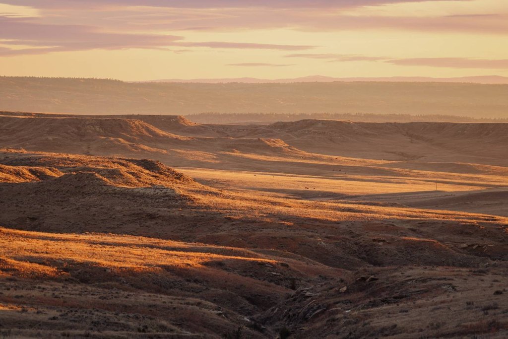
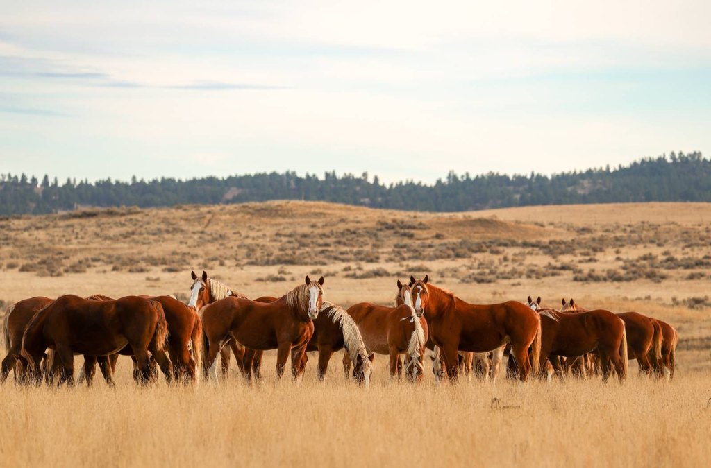
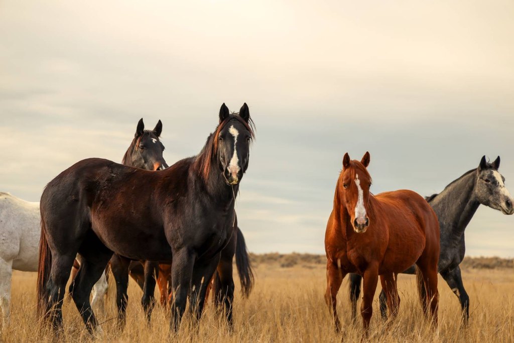
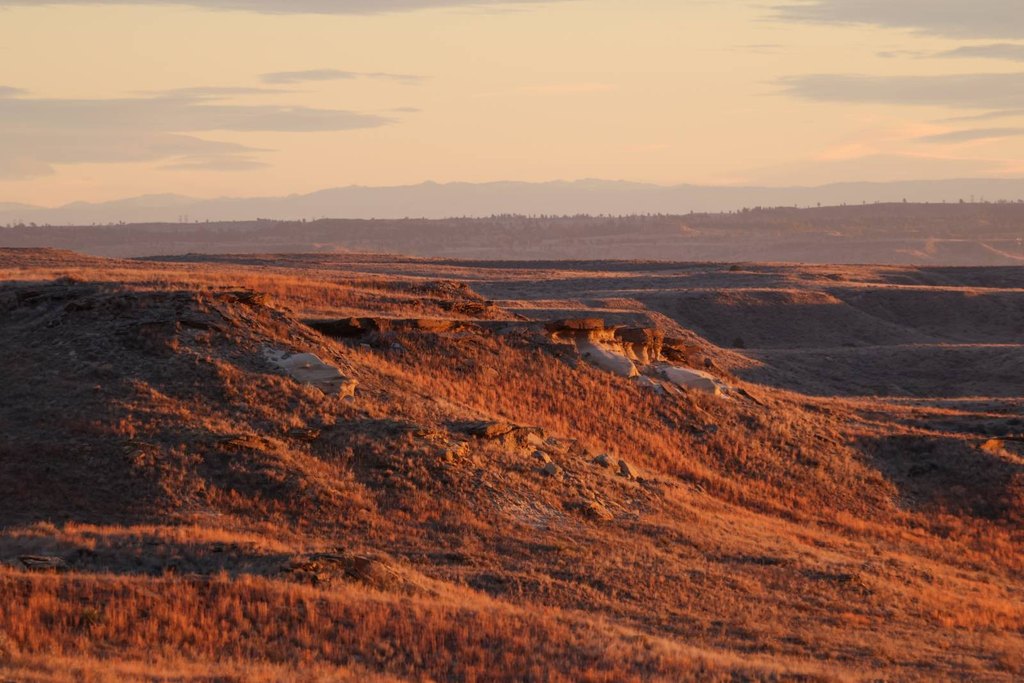
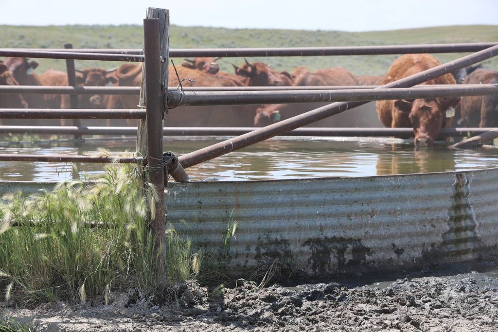
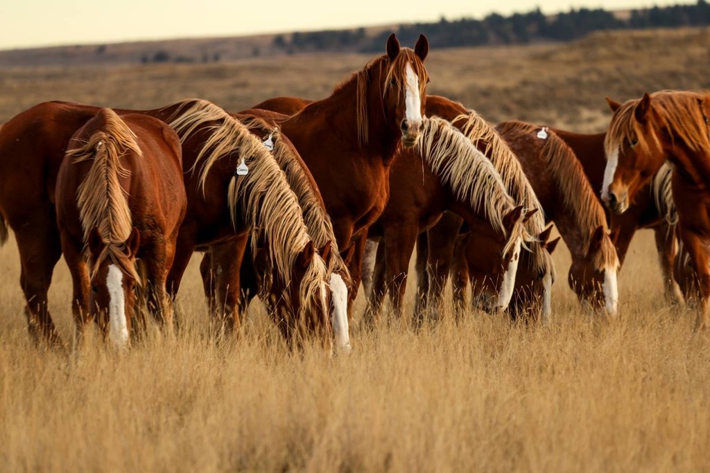
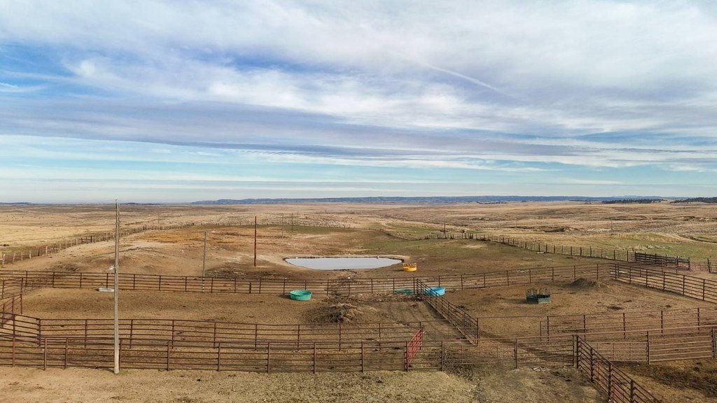
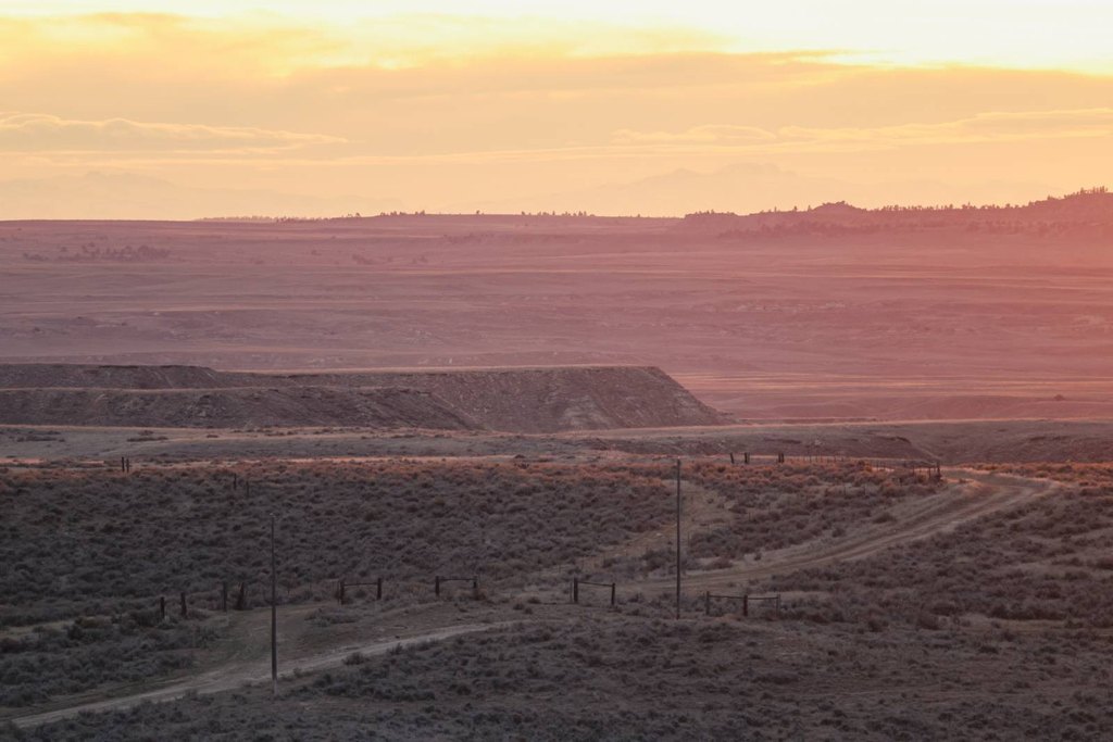
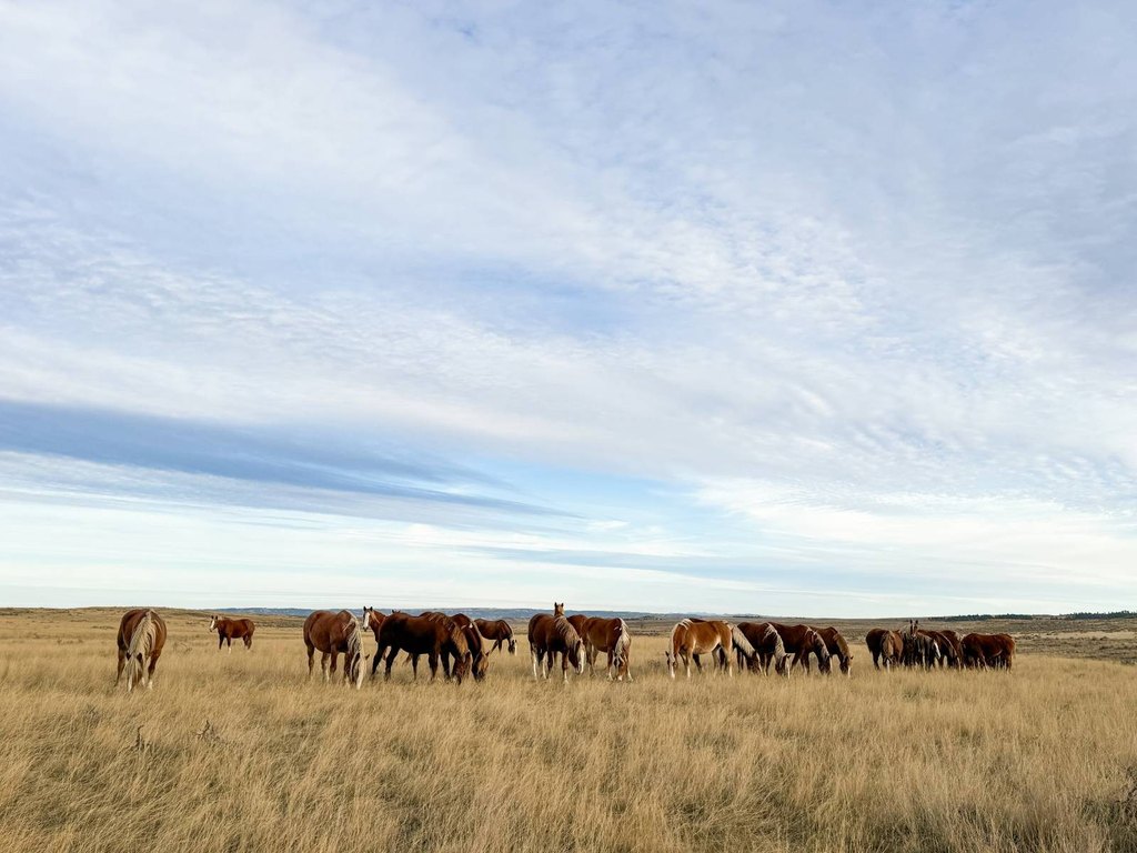
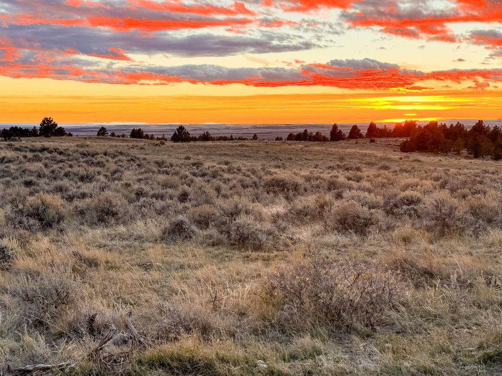
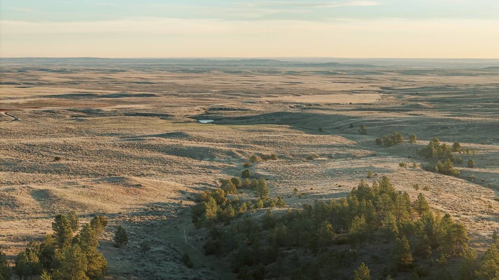
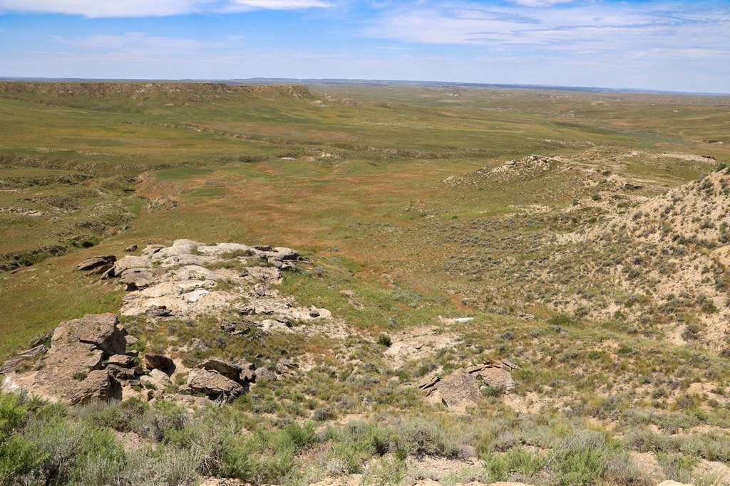
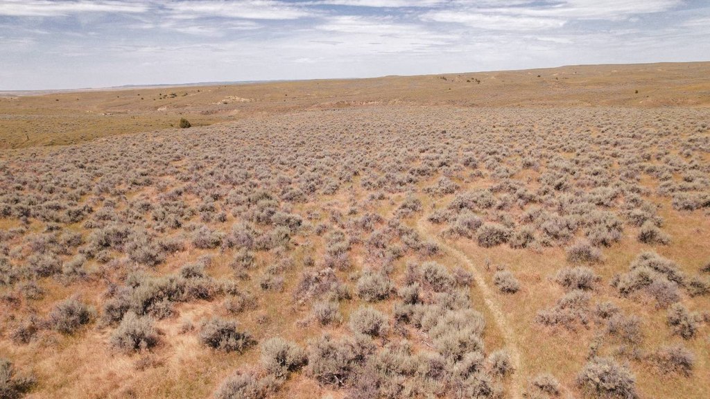
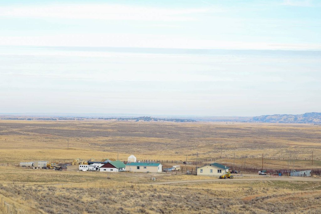
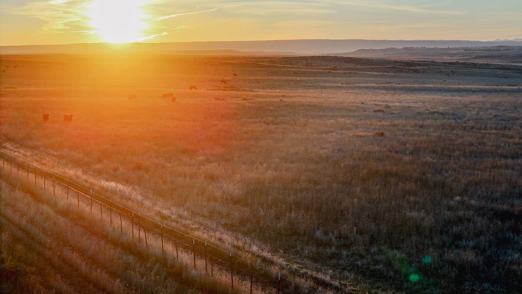
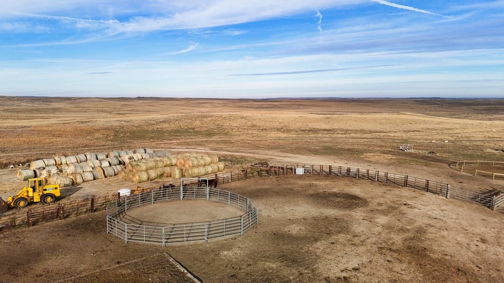
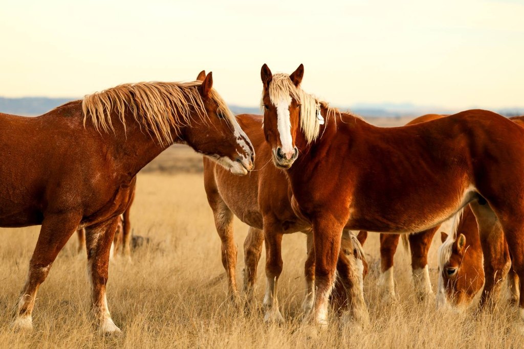
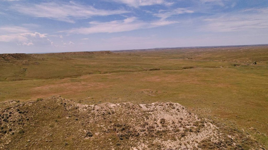
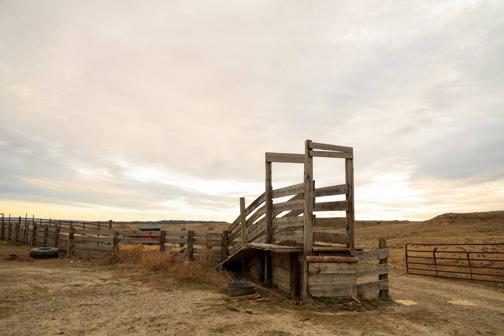
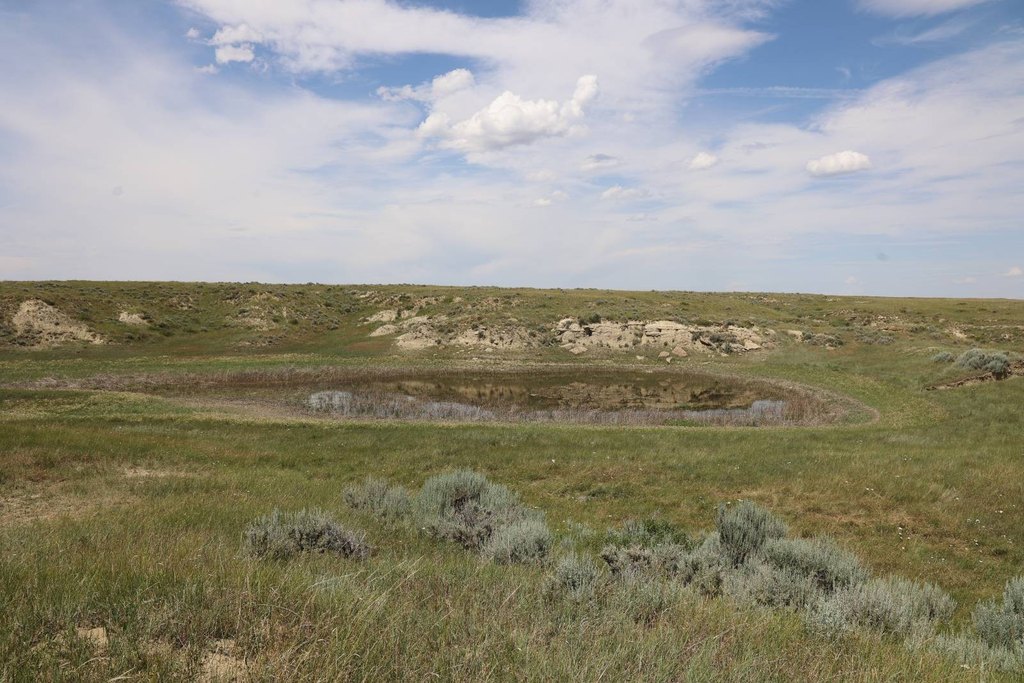
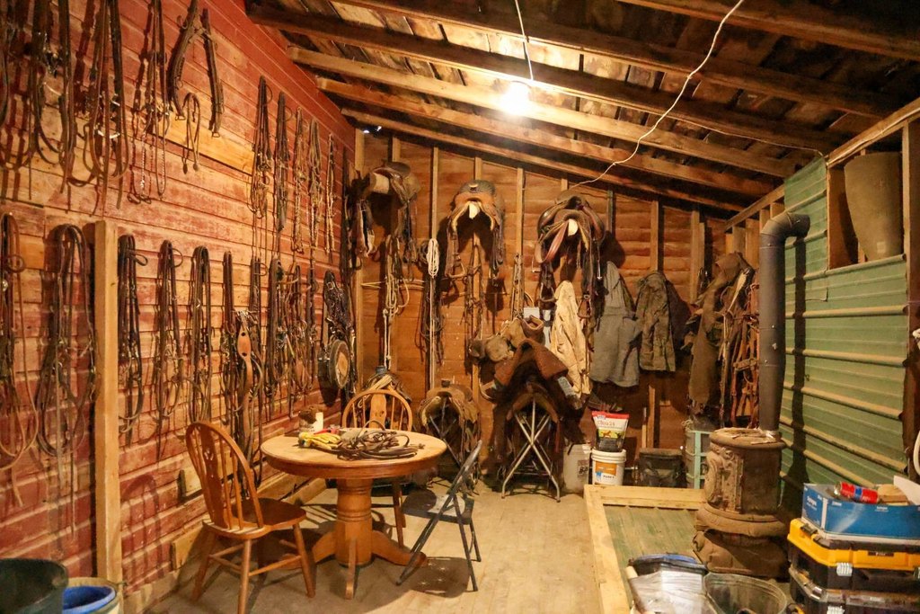
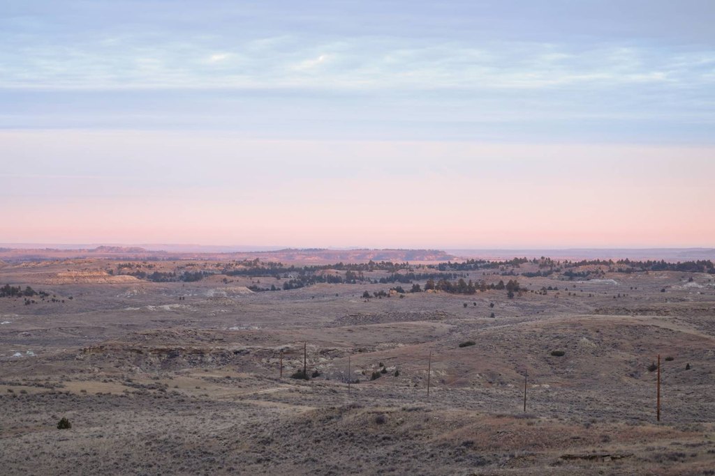
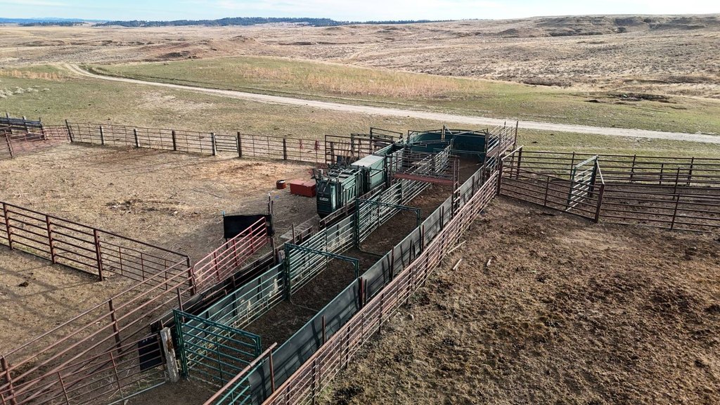
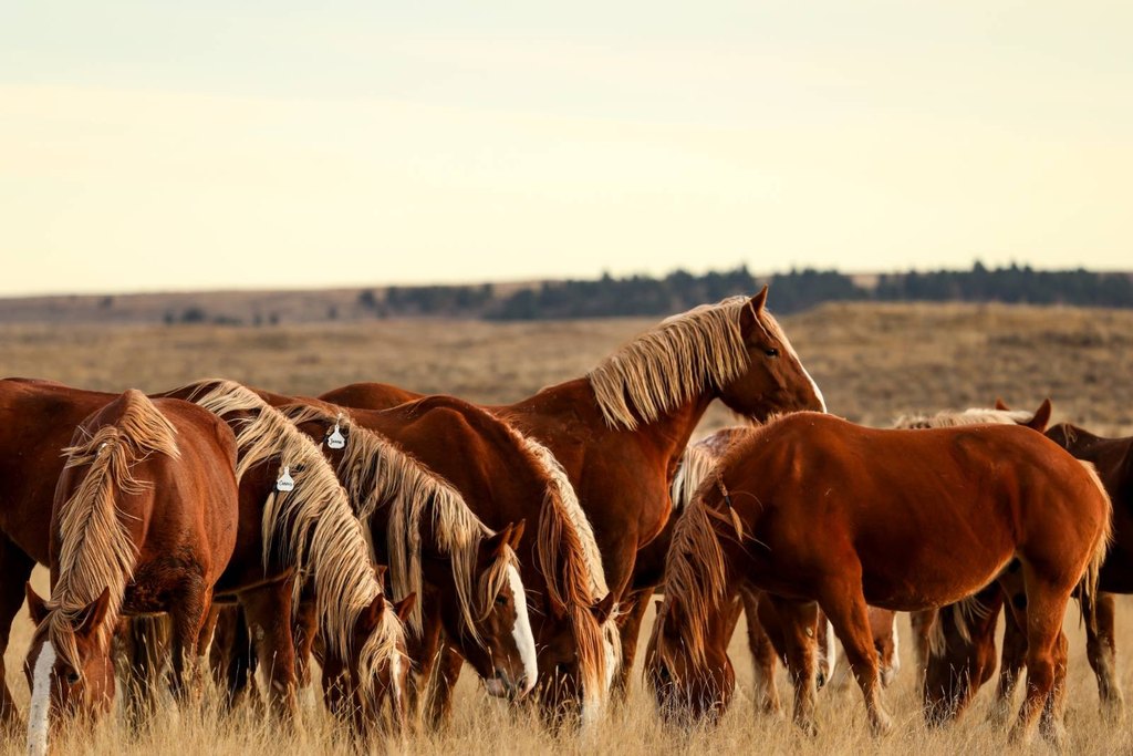
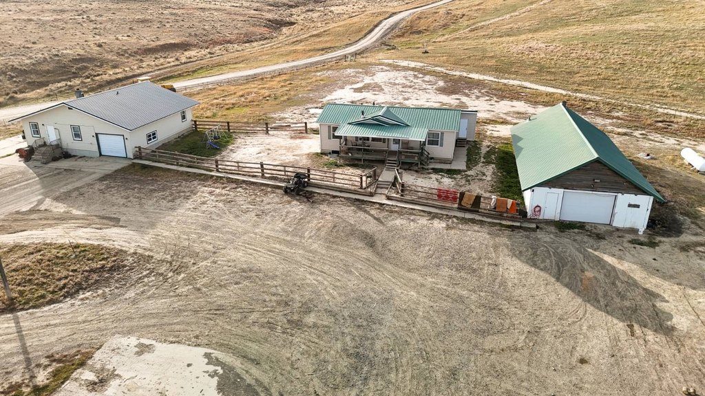
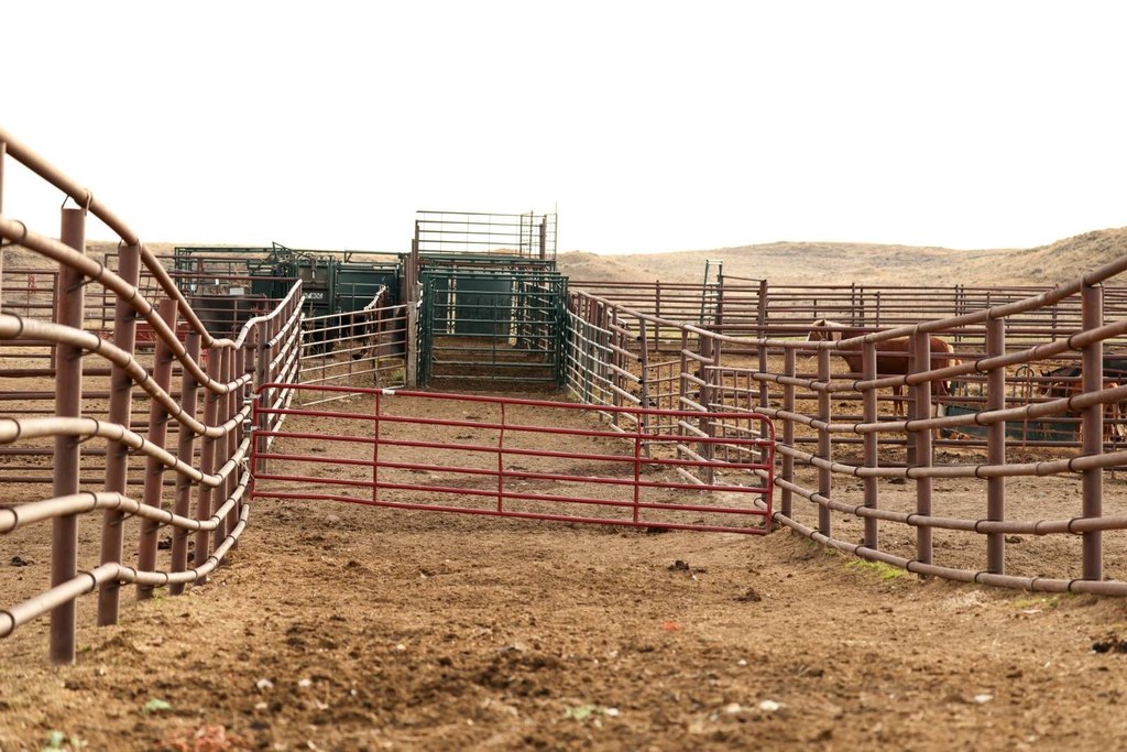
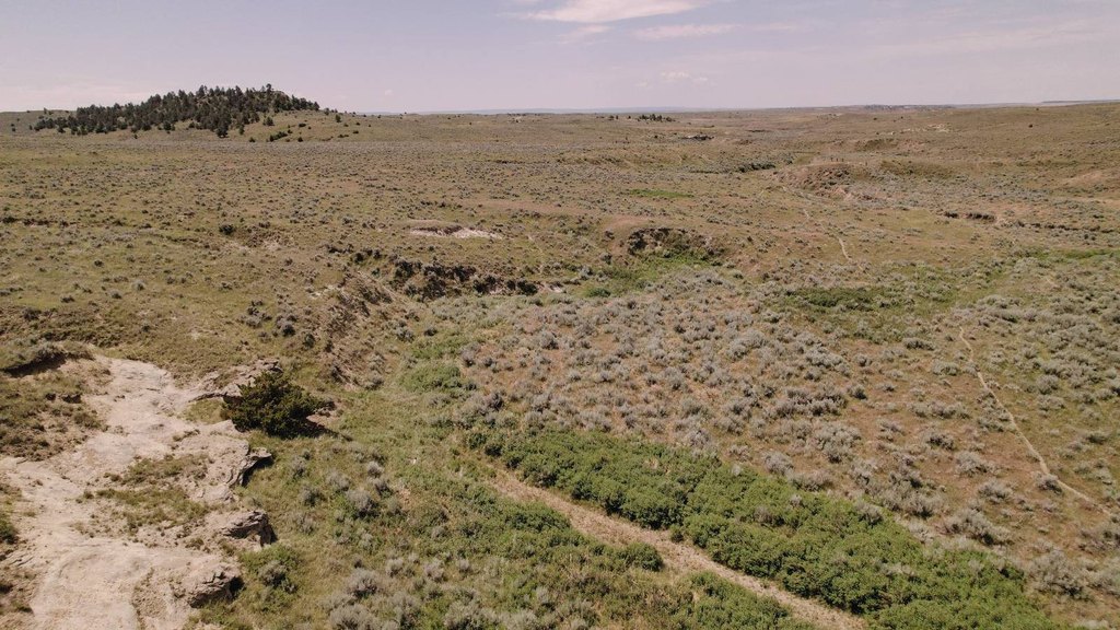
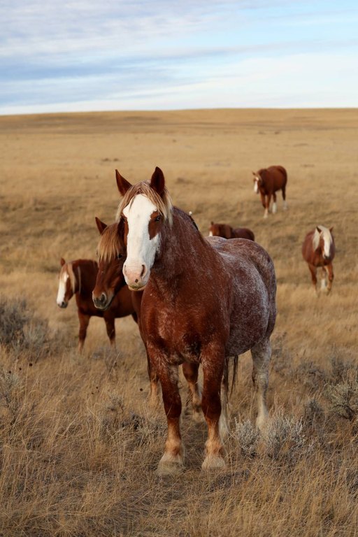
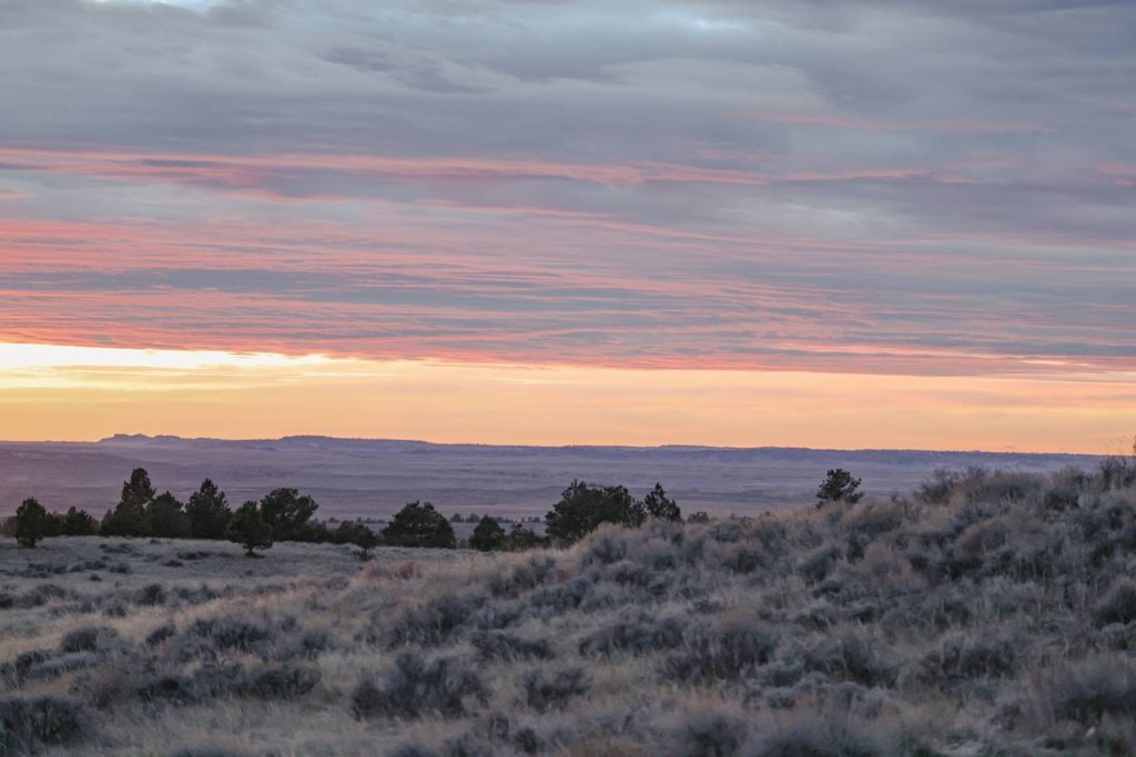
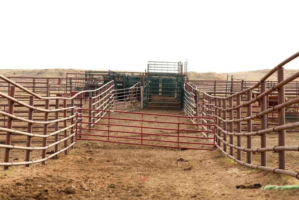
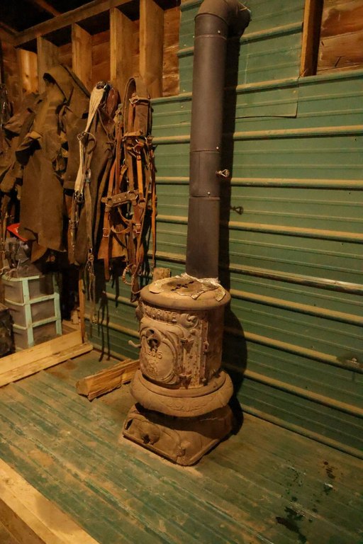
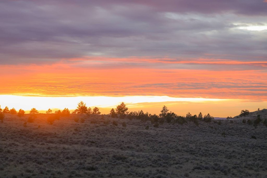
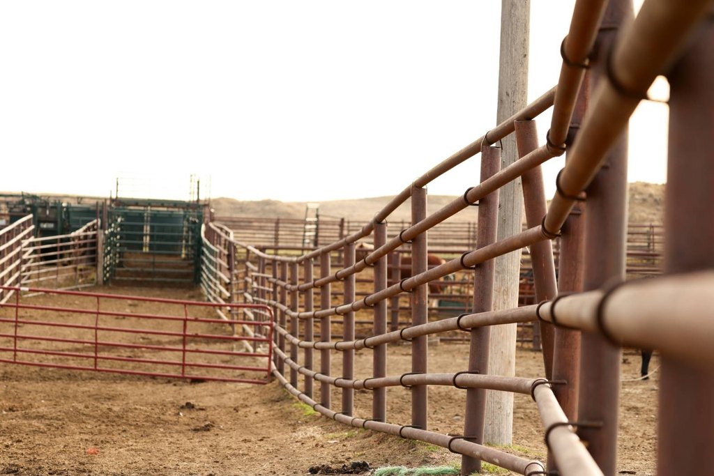
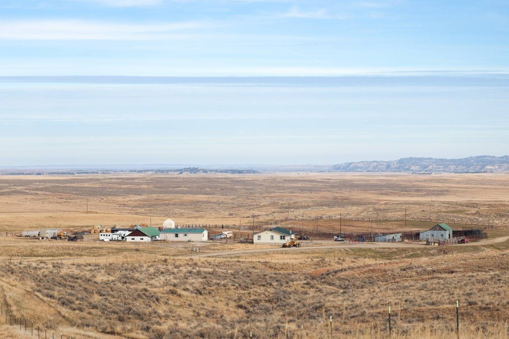
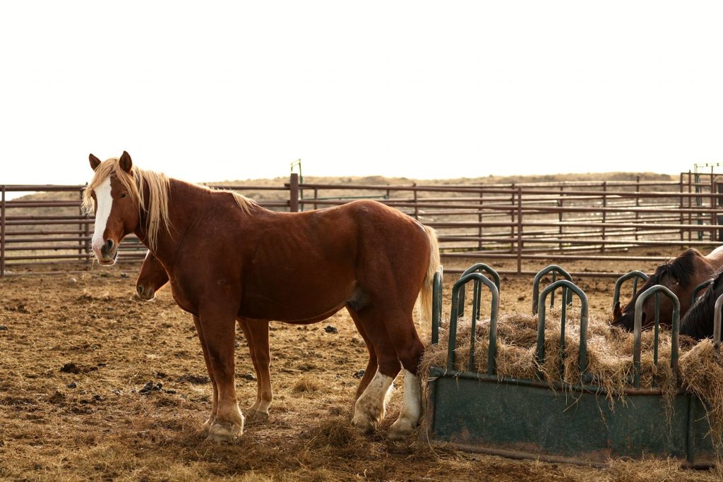
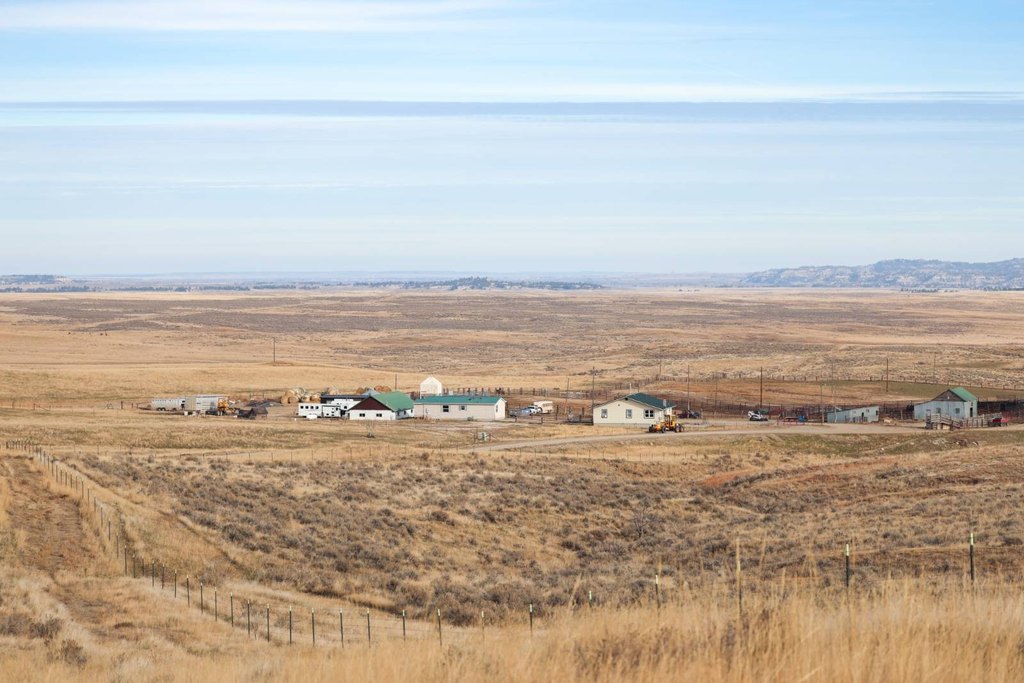
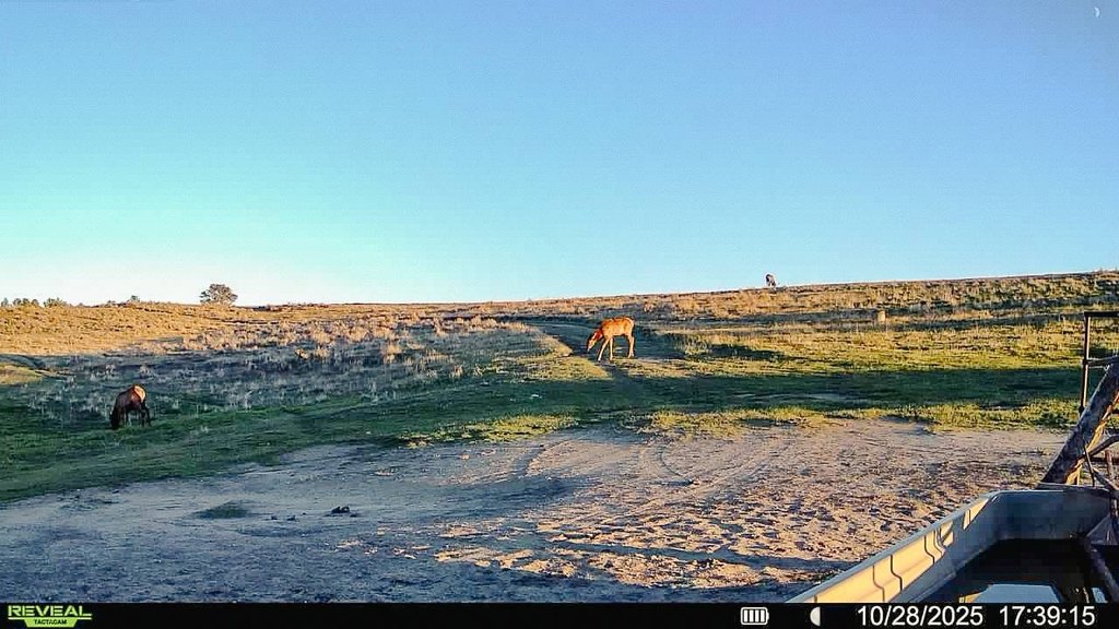
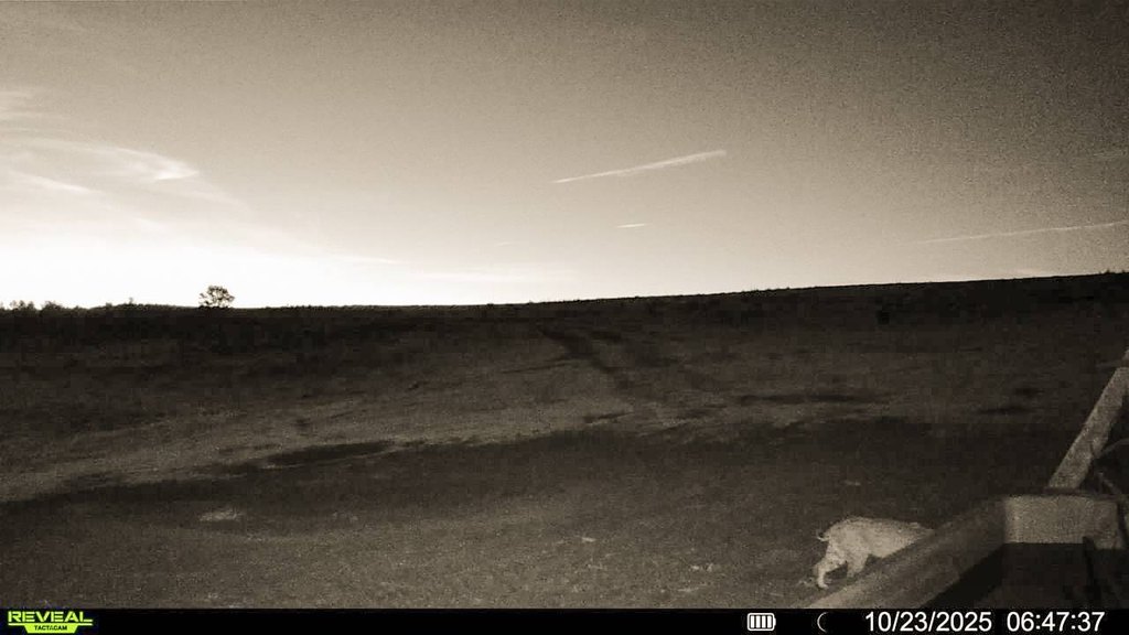
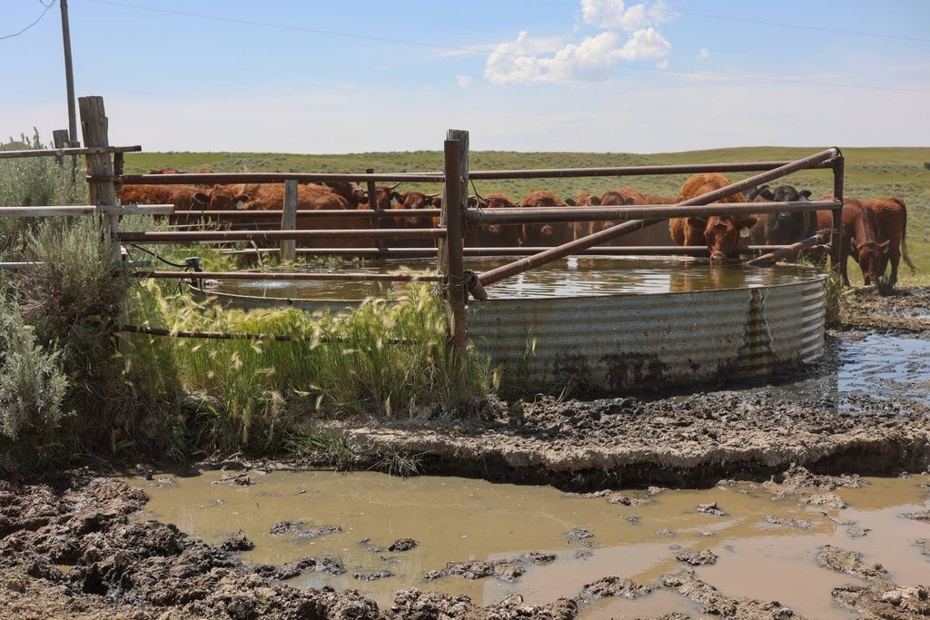
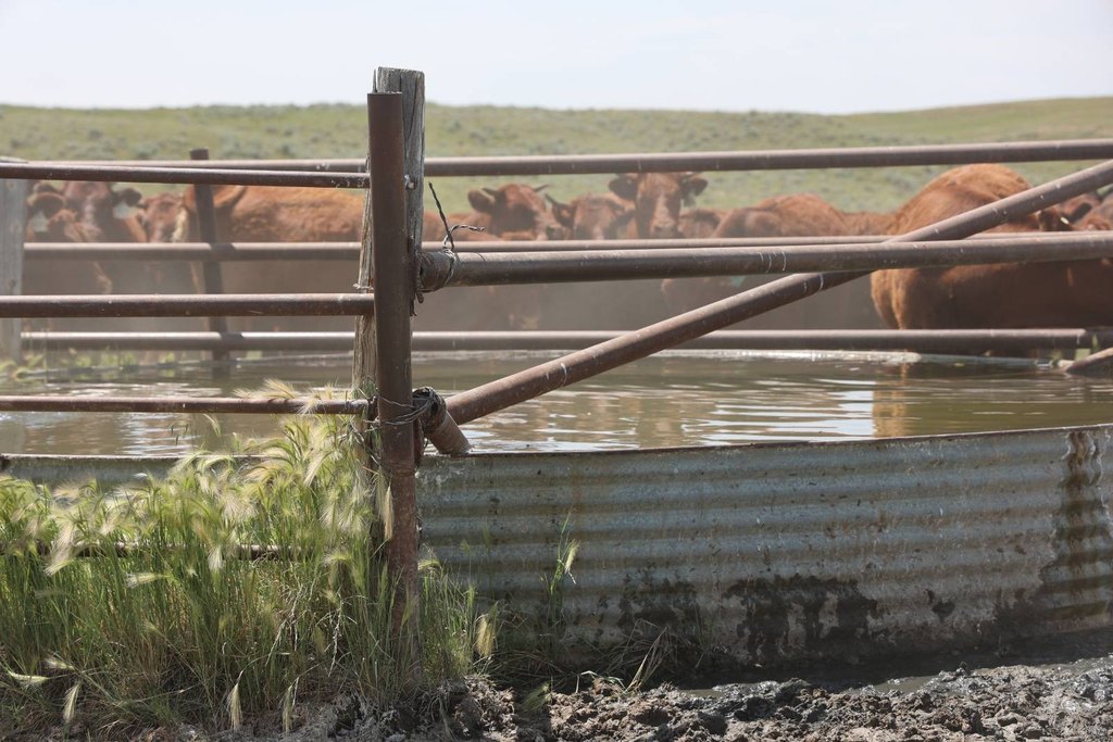
S Bar Ranch is a working agricultural and equestrian property featuring native grassland with reliable water infrastructure and well-maintained fencing. The ranch is cross-fenced into 14 pastures and supported by 15 electric wells and one solar well, with additional water provided by 12 reservoirs and eight seasonal springs. Fencing is in excellent condition, with updates completed after the 2021 wildfire, and the ranch benefits from power service through NorthWestern Energy. Improvements include two well-kept homes and a heated 26' x 61' shop for maintenance and storage. Livestock handling is supported by a substantial processing area, barn, loading chute, and sorting alleys covering approximately five acres, including a heavy-duty squeeze chute and processing drum designed for both buffalo and cattle.
The ranch is located approximately five miles north of Custer, Montana, and the Yellowstone River, with paved access via a maintained county road off Musselshell Trail Road. Access is described as convenient to regional transportation, with about an hour drive to Billings and its international airport.
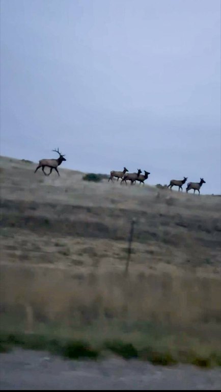
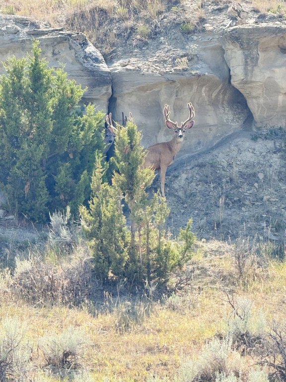
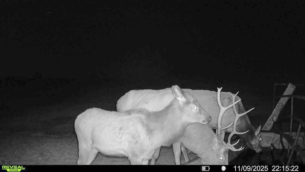
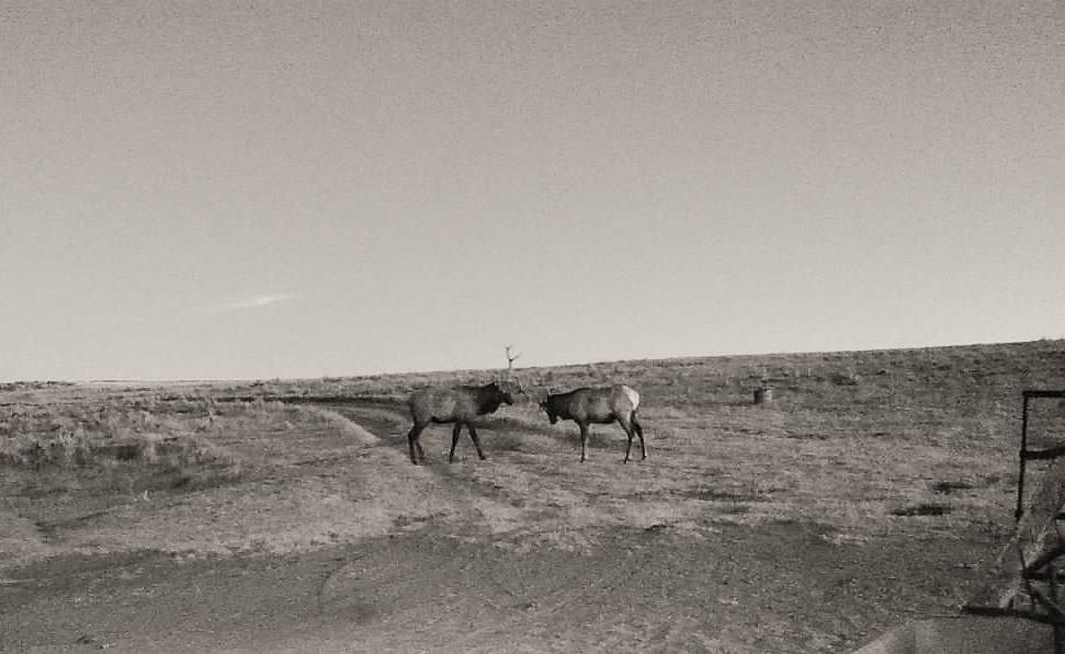
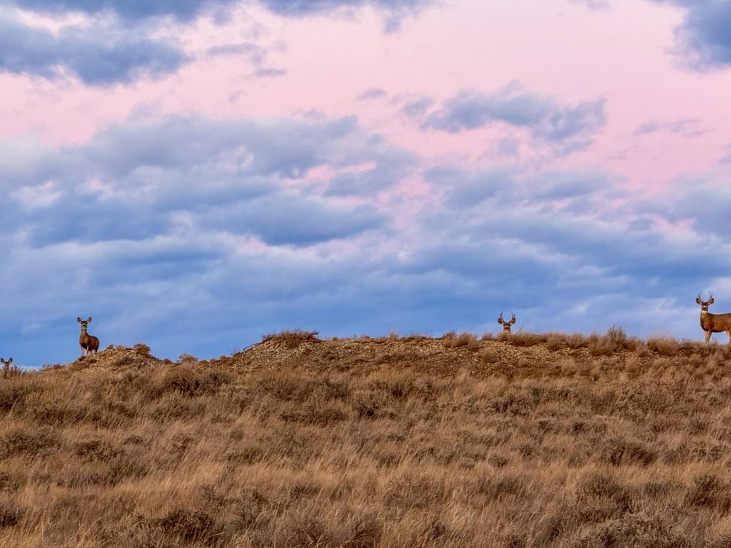
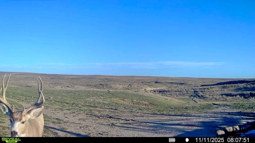
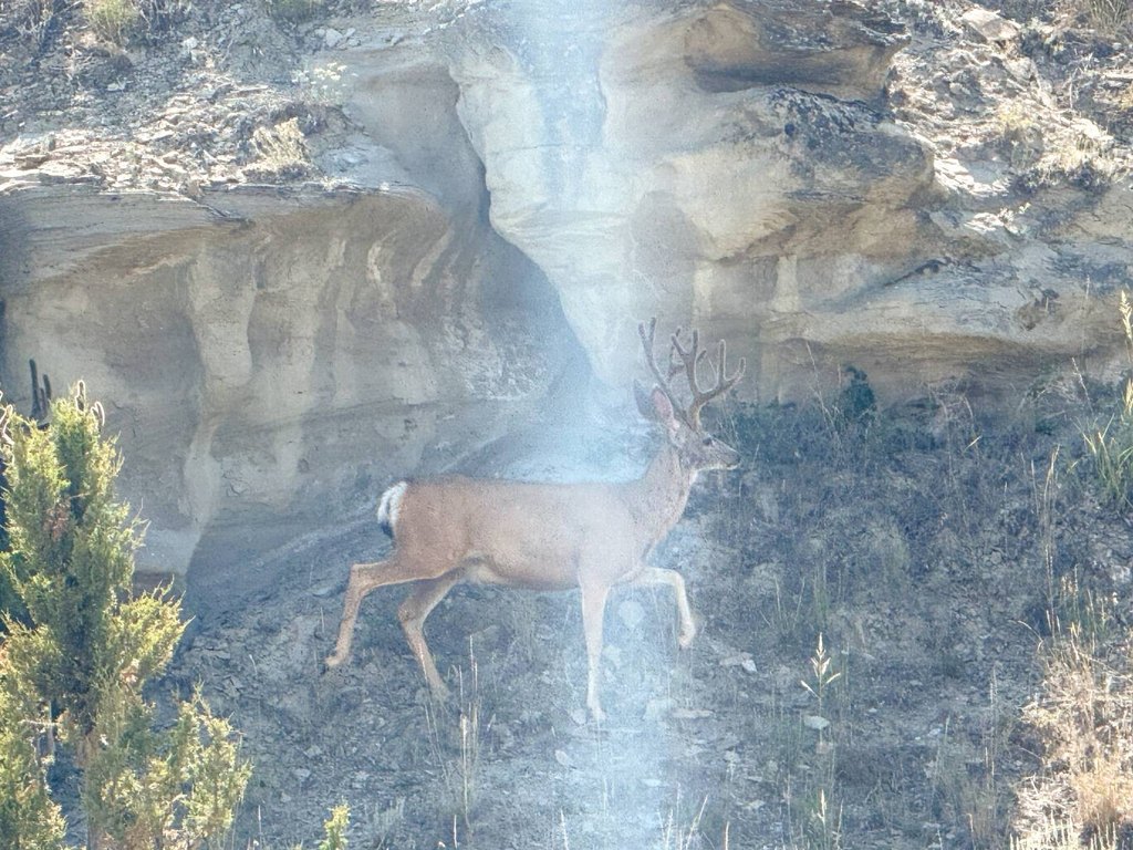
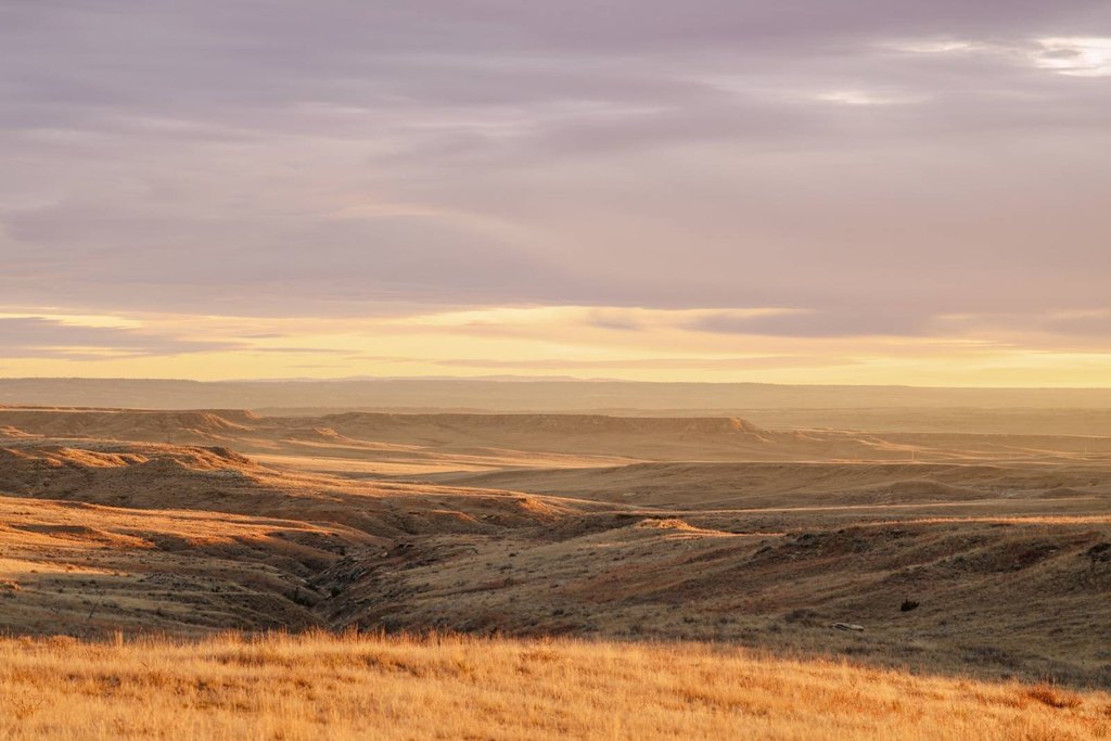
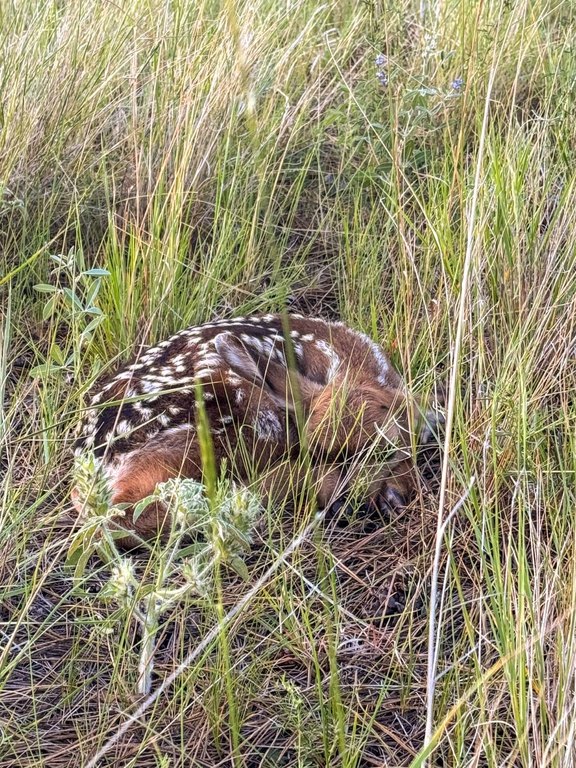
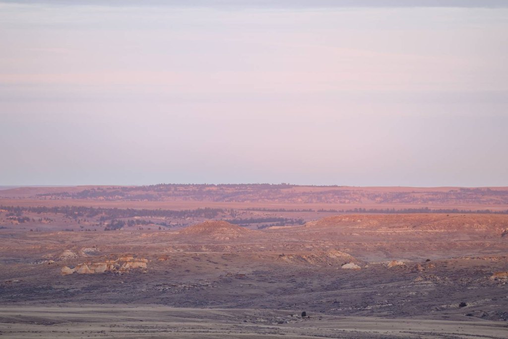
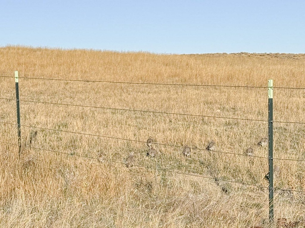
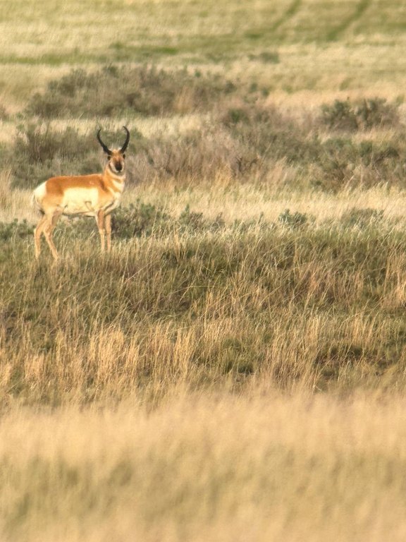
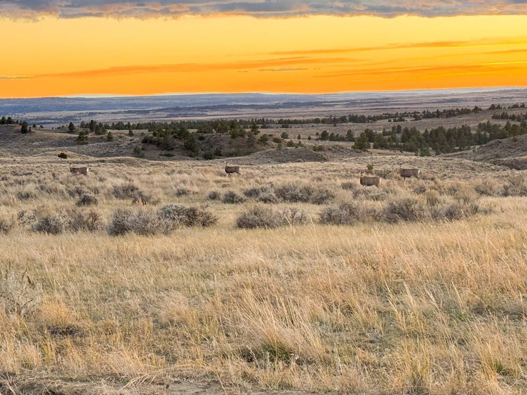
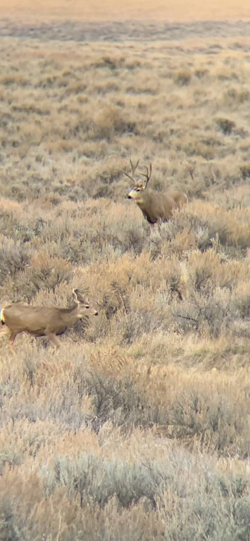
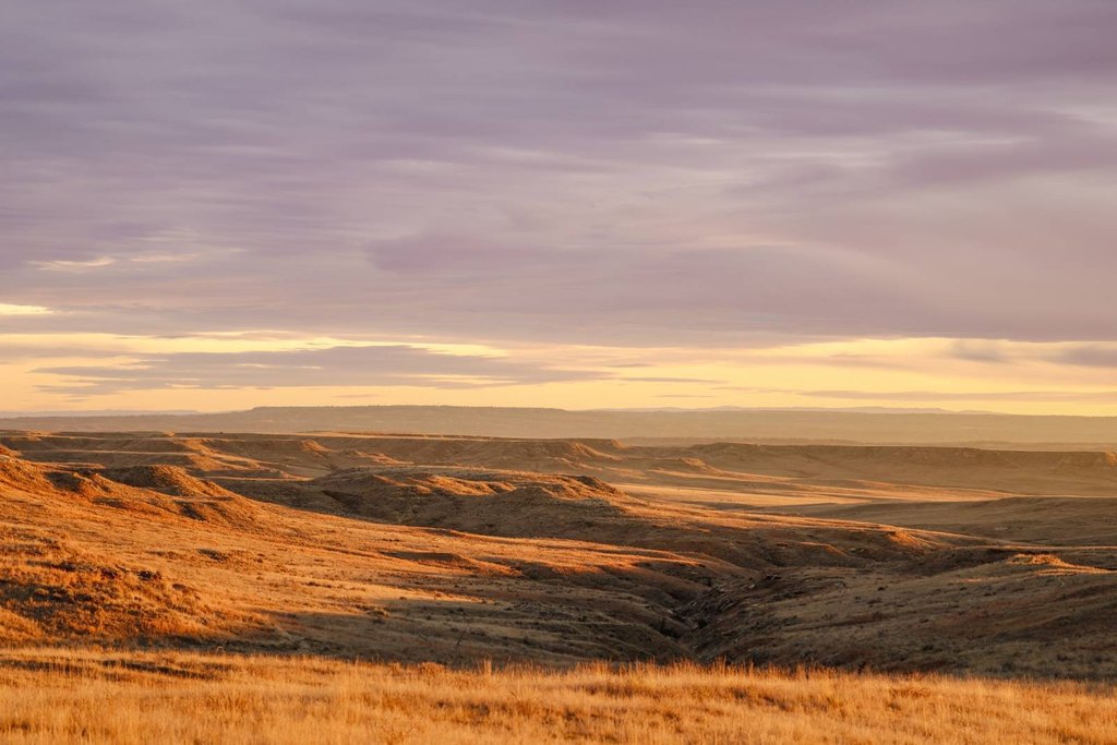
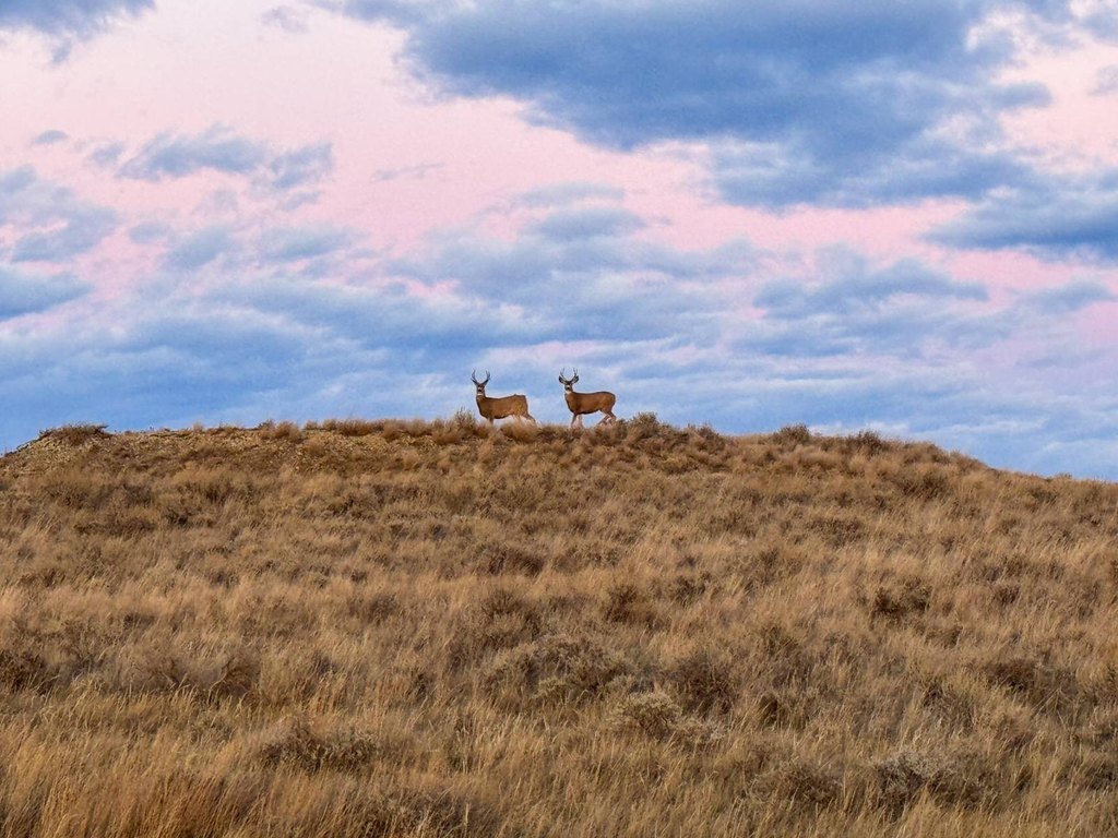
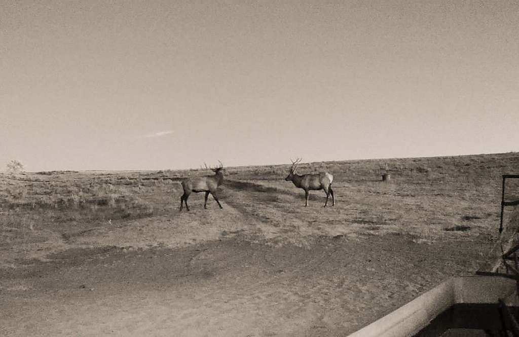
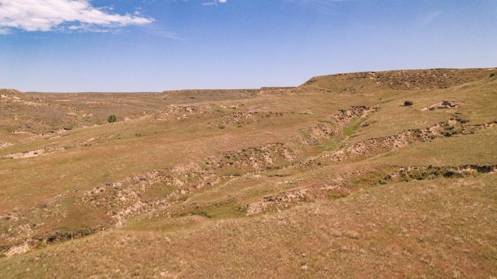
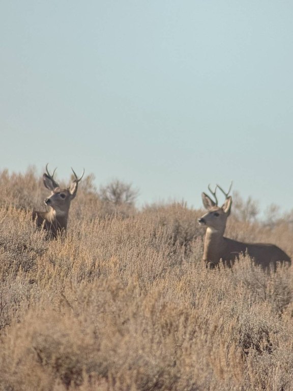
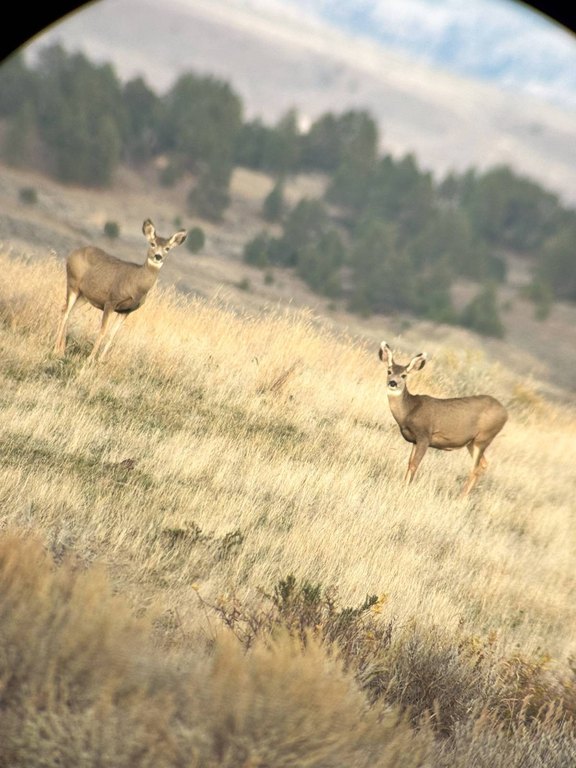
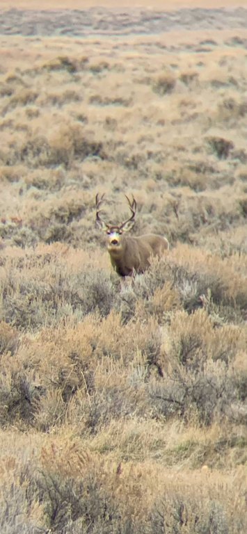
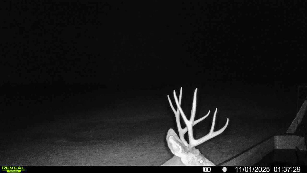
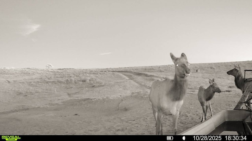
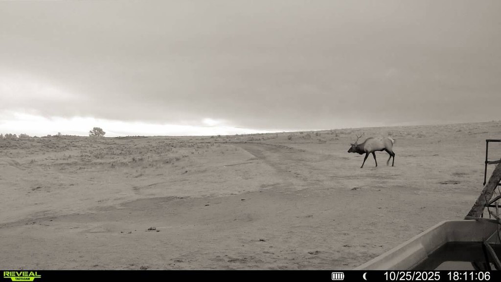
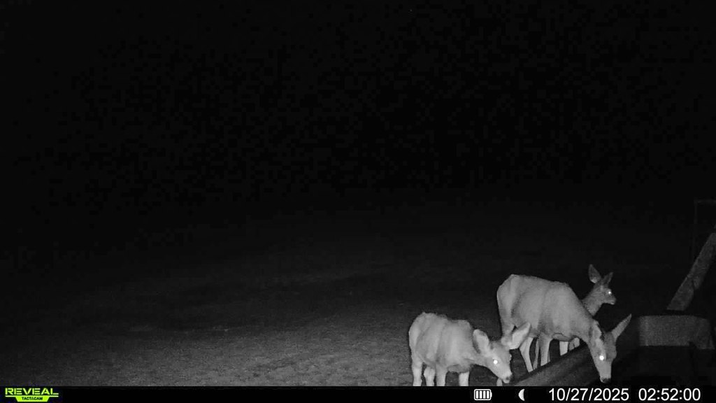
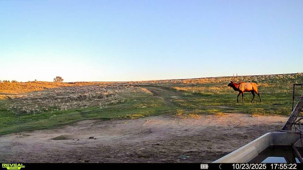
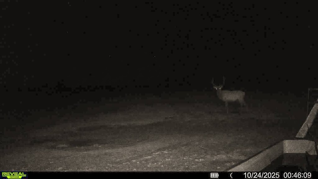
For buyers seeking a self-contained ranch operation, the property is positioned for cow/calf, yearling, and horse programs, and it is described as having an approximate carrying capacity of 600 cow/calf pairs. Wildlife is abundant across rolling hills and native grassland, with timber ridges on the south end providing natural protection. The ranch lies within FWP Hunting District 701, with 590 for elk, and qualifies for landowner preference tags.
The ranch is located approximately five miles north of Custer, Montana, and the Yellowstone River, with paved access via a maintained county road off Musselshell Trail Road. Access is described as convenient to regional transportation, with about an hour drive to Billings and its international airport.
For buyers seeking a self-contained ranch operation, the property is positioned for cow/calf, yearling, and horse programs, and it is described as having an approximate carrying capacity of 600 cow/calf pairs. Wildlife is abundant across rolling hills and native grassland, with timber ridges on the south end providing natural protection. The ranch lies within FWP Hunting District 701, with 590 for elk, and qualifies for landowner preference tags.
Key Highlights
- Ranch with approx. 600 cow/calf pair carrying capacity supported by high‑quality native grass
- Cross‑fenced into 14 pastures with 15 electric wells and 1 solar well plus 12 reservoirs and 8 seasonal springs
- Working ranch improvements include two homes and a heated 26' x 61' shop for maintenance and storage
Property Analytics
Current Use
Location Intelligence
Trade Area within ½ mile
1
Businesses Nearby
Explore this area
Business Placement
Demographics for 59024, MT
303
Population
197
Households
1.5
Avg Household Size
51
Median Age
23%
College-Educated
96%
High-School Grad
486.5 sq mi
ZIP Area
1
Density / Sq Mi
$70,250
Median Household Income
$33,750
Median Earnings
$406
Median Rent
$190,600
Median Home Value

Questions? Ask Rey
Realmo’s AI knows this listing — price, zoning, demand, history. Ask anything.
Frequently Asked Questions
What type of property is this?
Ranch - Productive native grass ranch with cross-fenced pastures, multiple wells, reservoirs, and working facilities for livestock and recreation.
Where is this ranch located?
The property is located at 6031 Musellshell Trail Rd Custer, MT.
What is the asking price?
The asking price for this property is $19,816,000.
What are key features of this property?
This property features: Ranch with approx. 600 cow/calf pair carrying capacity supported by high‑quality native grass; Cross‑fenced into 14 pastures with 15 electric wells and 1 solar well plus 12 reservoirs and 8 seasonal springs; Working ranch improvements include two homes and a heated 26' x 61' shop for maintenance and storage


