6000 Block Highway 21, Atmore, AL 36502
- Added:
- Jun 17, 2025
- Days on Market:
- 369
- Last Refresh:
- Jun 20 at 5:06 am
Property Features for 6000 Block Highway 21
General Information
- Property type
- Land
- Property subtype
- Other
- Zoning
- Within Corp Limits
- Standard status
- Active
- APN
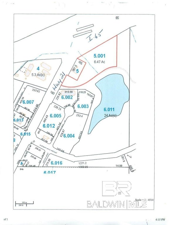
- 11-08-28-0-200-005.001
- Lot size
- 6.47 Acres
Taxes and HOA fees
- Tax Description
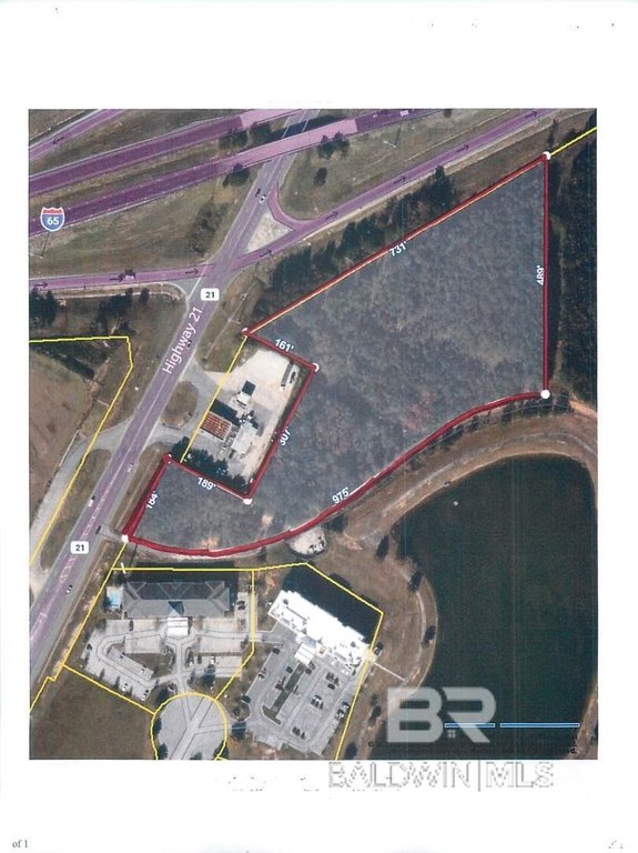
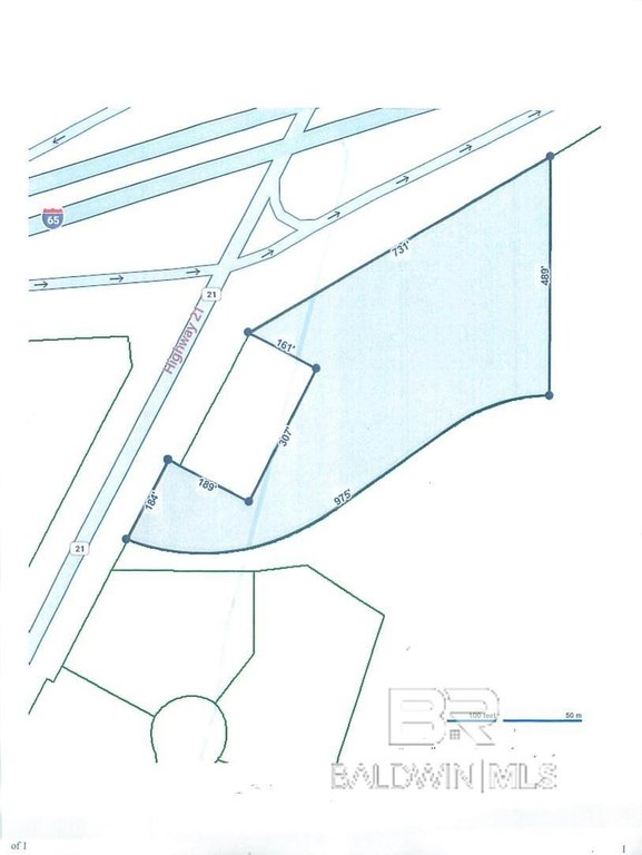
- BEG AT INTERSECTION OF E/S STATE RT #21 & S/S I-65 IN S28-T2N-R6E; TH RUN NE'LY 723.4 ALG SAID I-65, S 484.9'; SW'LY 977.7'; NE'LY 188.4 ALG STATE RT #21; SE'LY 200'; NE'LY 307.5'; NW'LY 165' TO POB. CN'TG. 6.47 AC (C)
Utilities
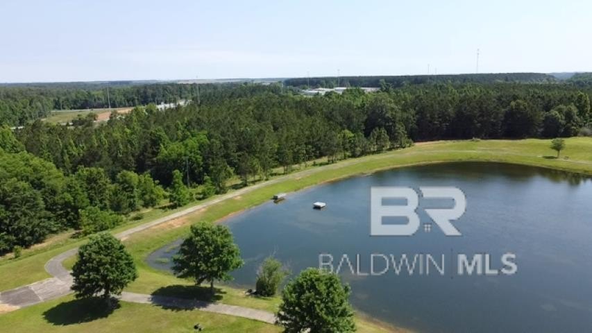
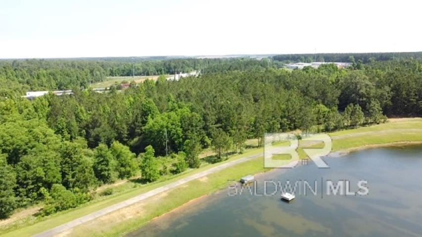
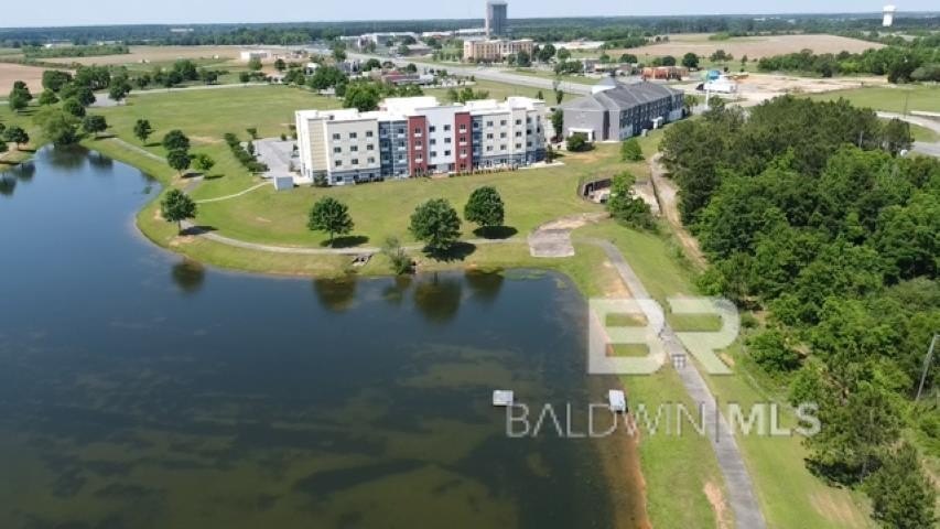
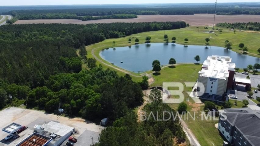
- Water front features
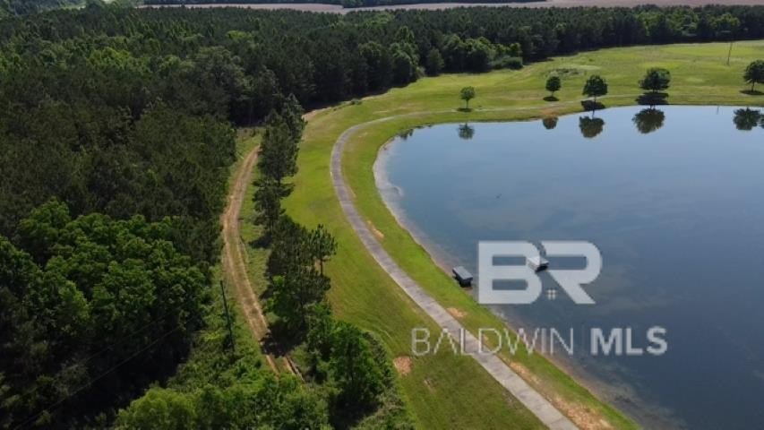
- Lake Front
- Water front
- 1
Listing agent Deborah Rowell License #16927 (251) 294-6999
Listing office Southern Real Estate - Atmore 800 East Nashville Avenue, Atmore, AL (251) 368-4397
Listing date Jun 17, 2025
Copyright © 2026 Baldwin REALTORS®. All rights reserved. All information provided by the listing agent/broker is deemed reliable but is not guaranteed and should be independently verified.
HighLights
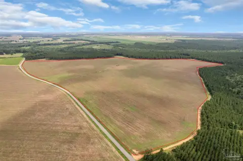
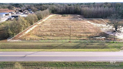
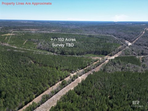
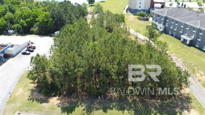
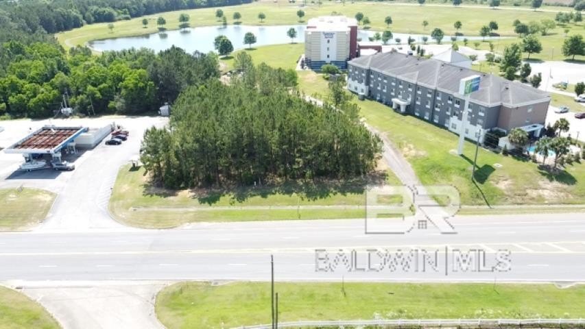
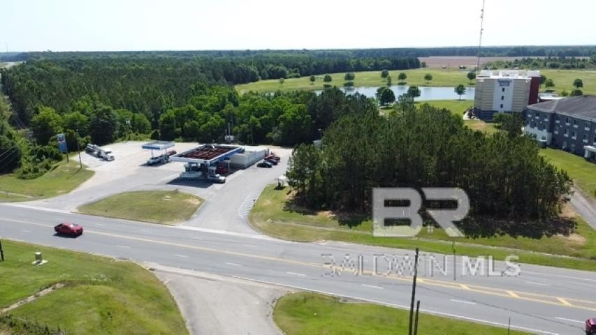
- 6.47‑acre land parcel zoned for retail use
- Lake front with lake view
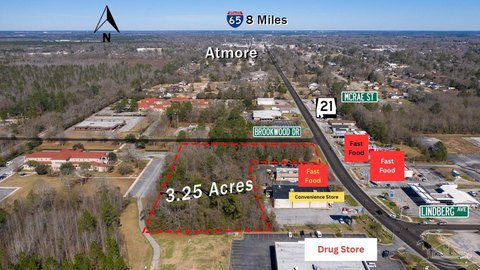
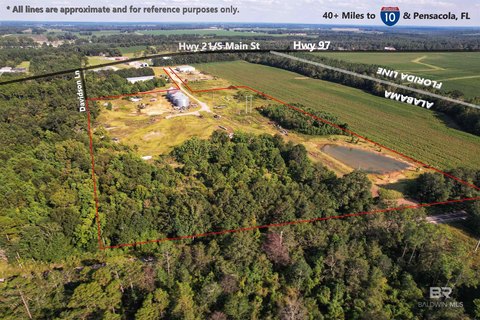
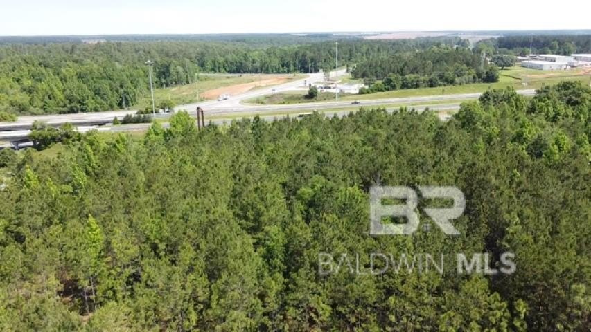
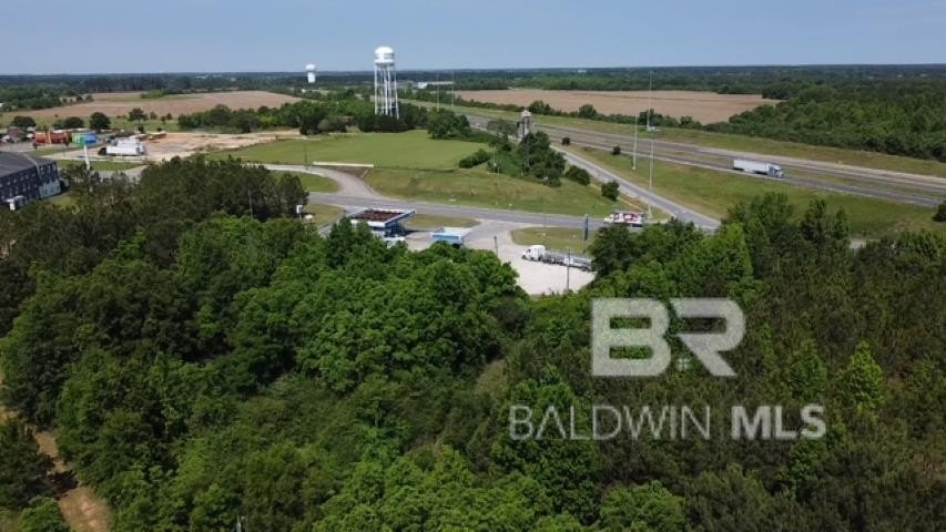
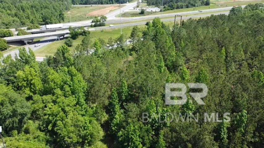
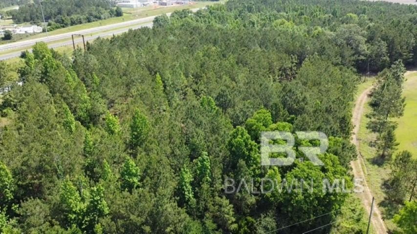
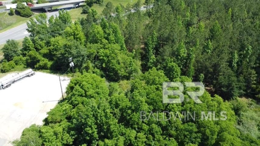
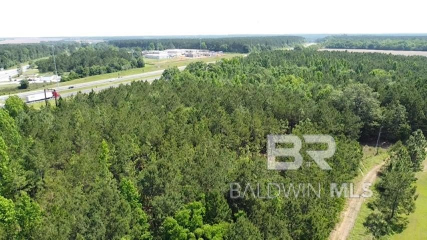
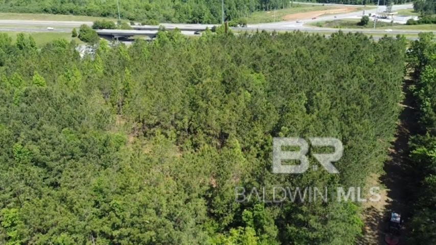
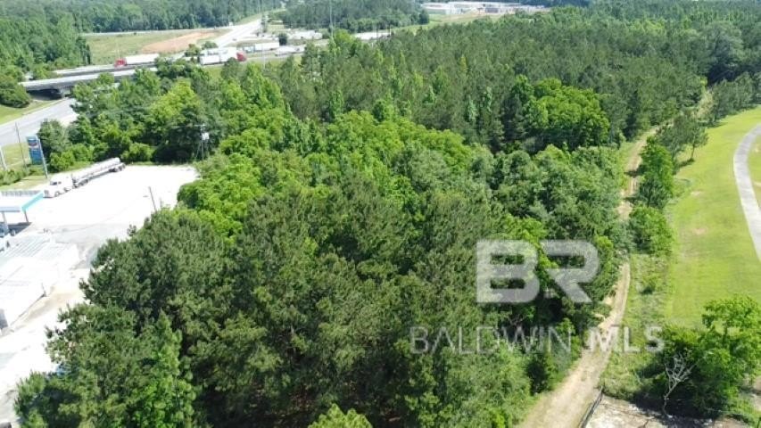
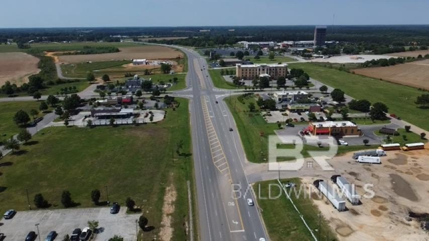
- Frontage on Hwy 21 plus frontage along I‑65
- Adjacent to (not within) the Planned United Development of Atmore’s Rivercane retail development
- All utilities are adjacent to the property
Overview
The property sits adjacent to Atmore’s newest retail development planned as Rivercane, though it is not within that Planned United Development. Vehicular exposure is supported by frontage along Highway 21 and frontage along I-65. The adjacency to utilities and the dual-highway frontage make the location practical for planning and site design.
For buyers evaluating retail or mixed-use opportunities, this parcel provides the foundation for a development strategy centered on retail zoning, waterfront scenery, and broad access. Because permitted uses, design requirements, and feasibility can depend on review by the appropriate parties, buyers should verify all information during due diligence.
Current Use by Public Records
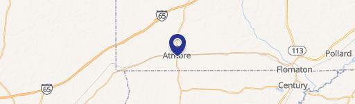
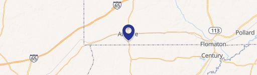
Map
- City
- Atmore
- County
- Escambia
- State
- Alabama
- Longitude
- -87.4747323
- Latitude
- 31.10838