Runway Lot in Private
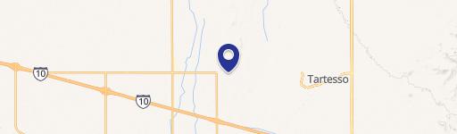
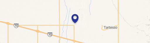
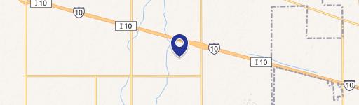
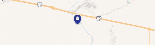
546xx W Sunland Avenue Tonopah, AZ 85354
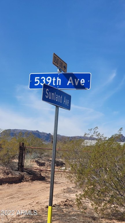
546xx W Sunland Avenue, Tonopah, AZ, 85354
$80,000
For Sale
$80,000
LAND - Tonopah, AZ
Lot Size3.00 Acres
Days on Market555
Property Features for 546xx W Sunland Avenue
General Information
- Property type
- Land
- Property subtype
- Other
- Zoning
- RU-43
- Standard status
- Active
- APN
- 506-27-056-a
- Lot size
- 3.00 Acres
Taxes and HOA fees
- Tax Year
- 2024
- Tax Description
- SUN UP, ARIZONA AMD MCR 370/40 PARCEL G EX S 83F P/F 09-0877651
- Tax Annual Amount
- 289
Utilities
- Water source
- Private
Listing agency
RE/MAX Desert Showcase
(623) 979-8888
Listed by
Eric J Swiatek · License #SA566923000
(602) 625-7652
Added: Jan 13, 2025 Updated: Jun 5 at 2:31PM Checked: Jul 22 at 3:06PM
MLS# 6805007
Copyright © 2026 Arizona Regional Multiple Listing Service, Inc. All rights reserved. All information provided by the listing agent/broker is deemed reliable but is not guaranteed and should be independently verified.
Investment Insights
Based on property information with market context.
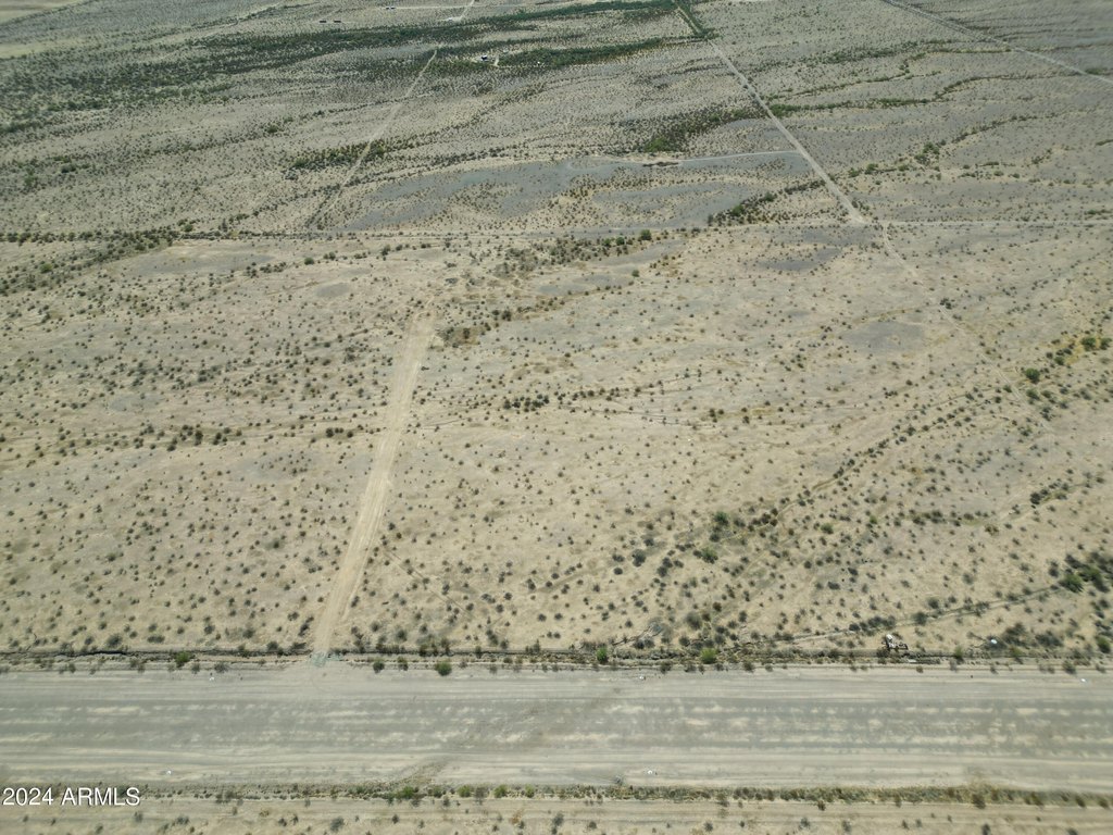
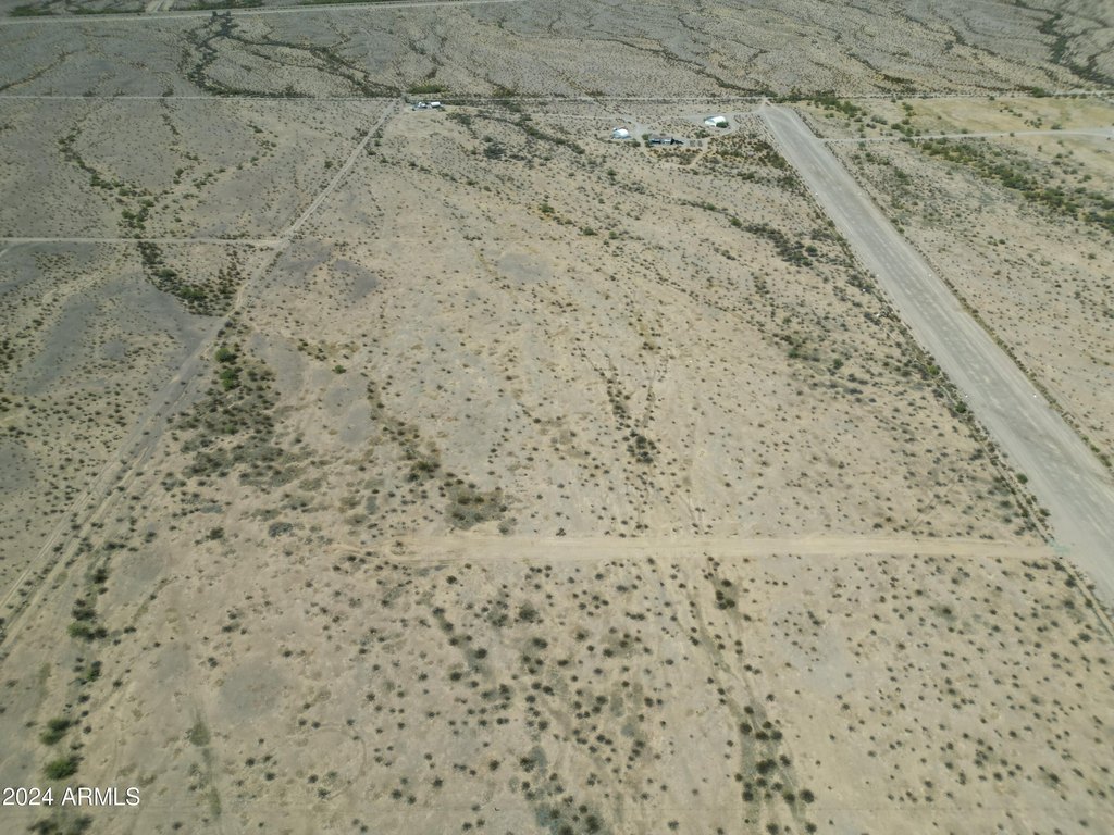
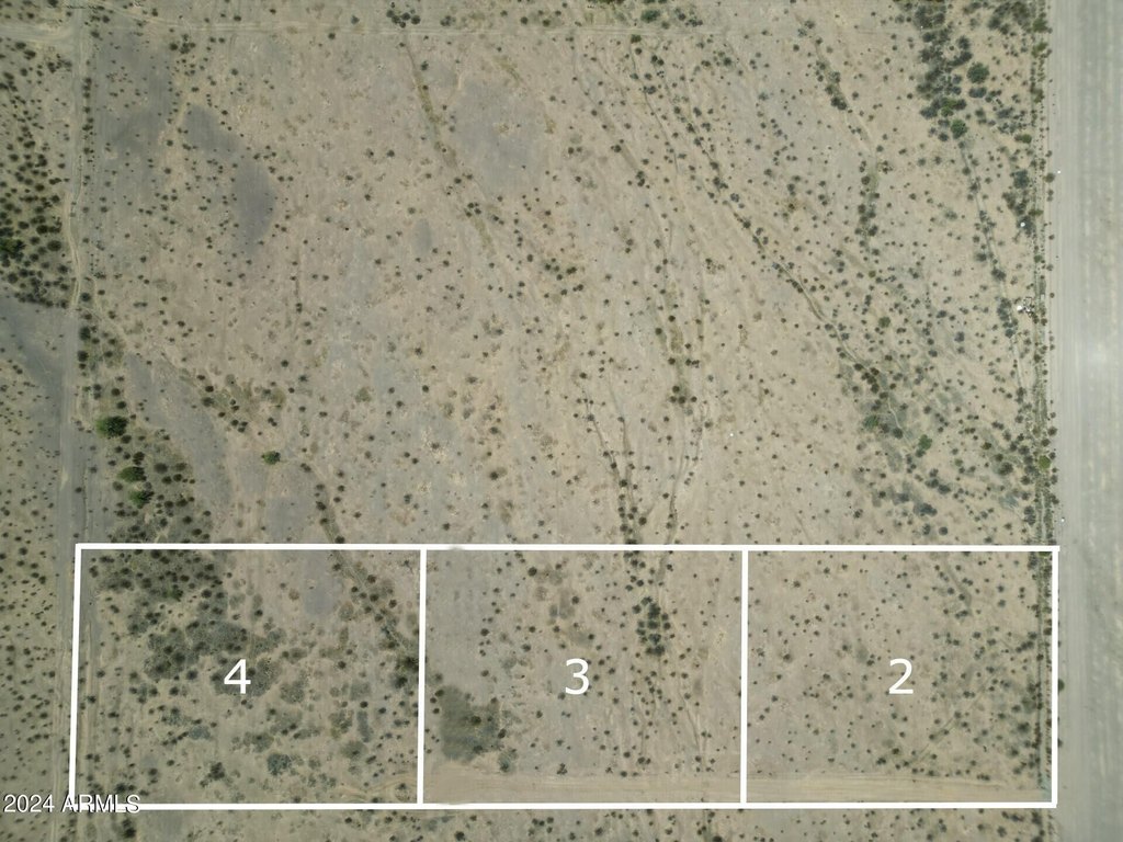
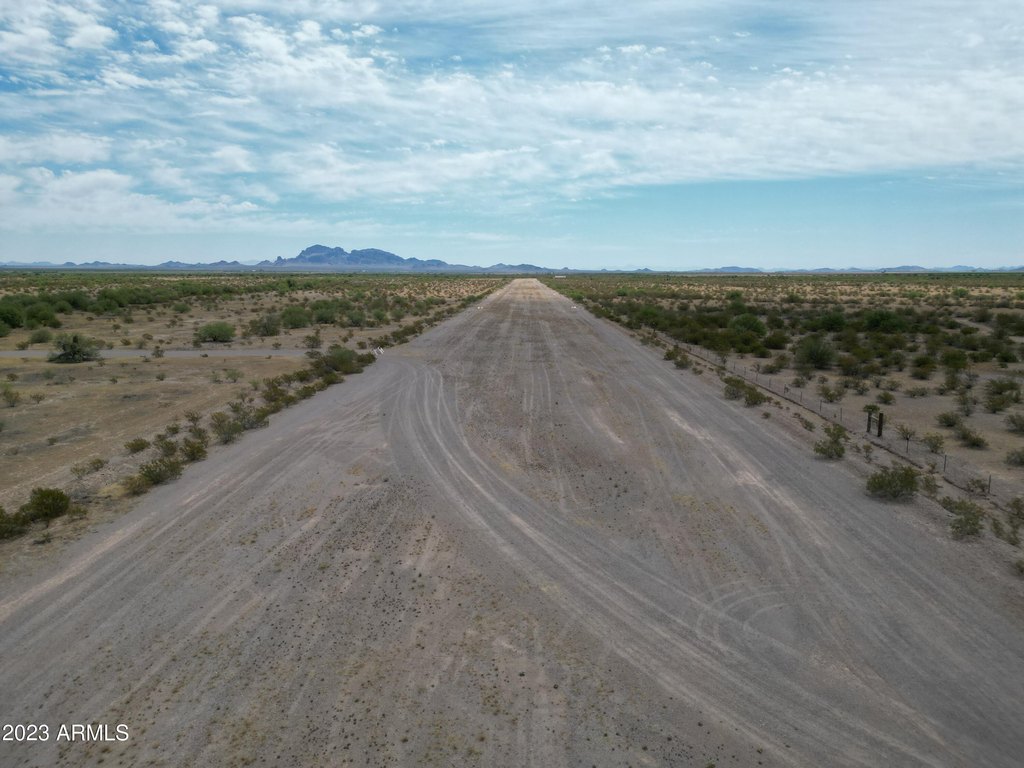
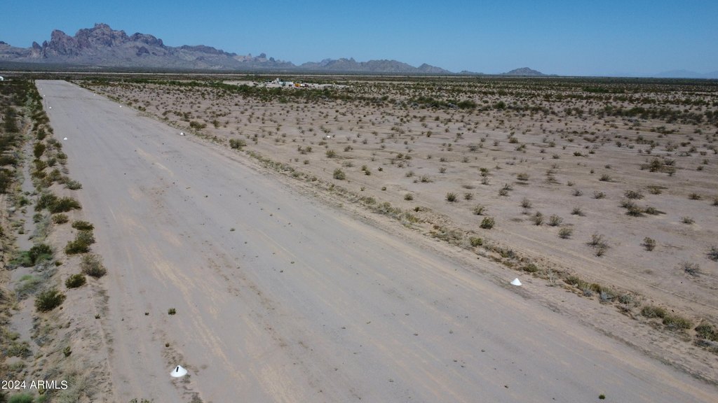
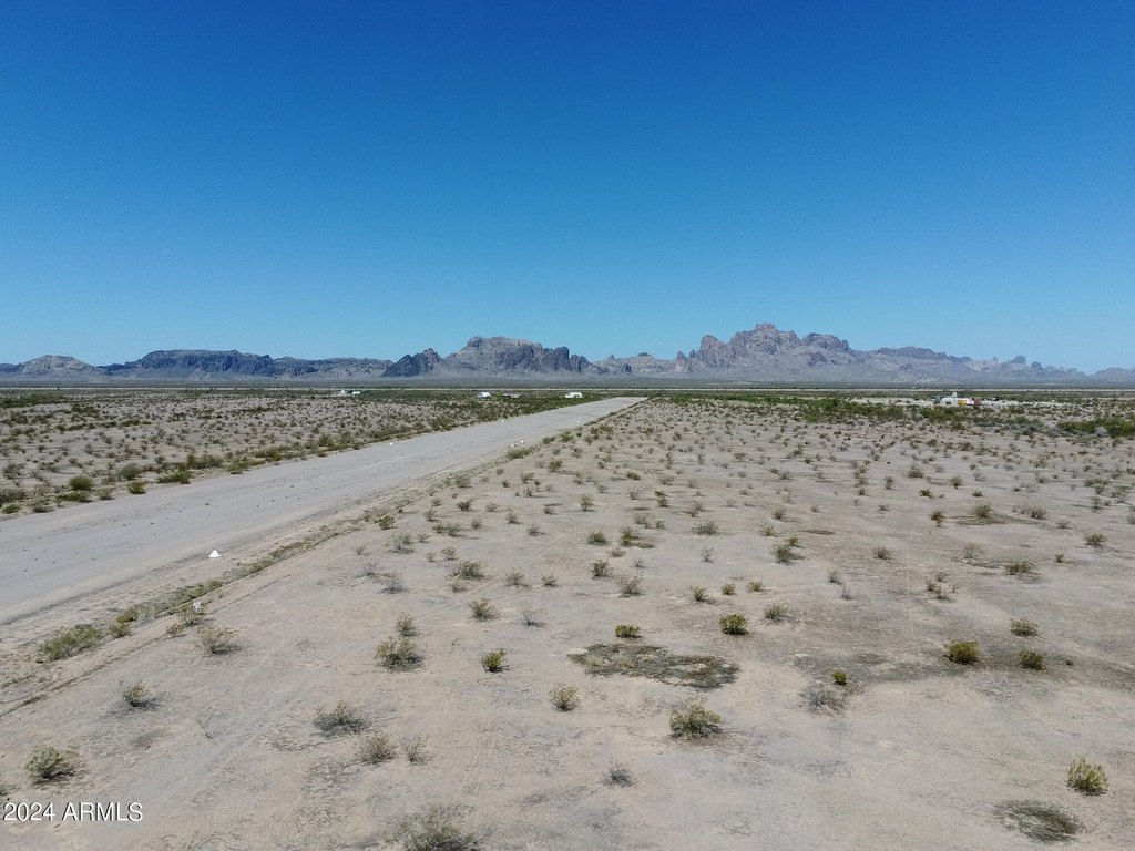
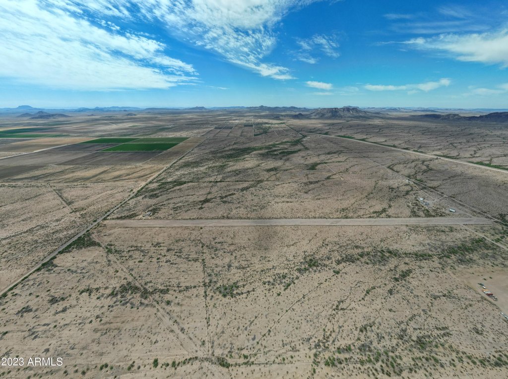
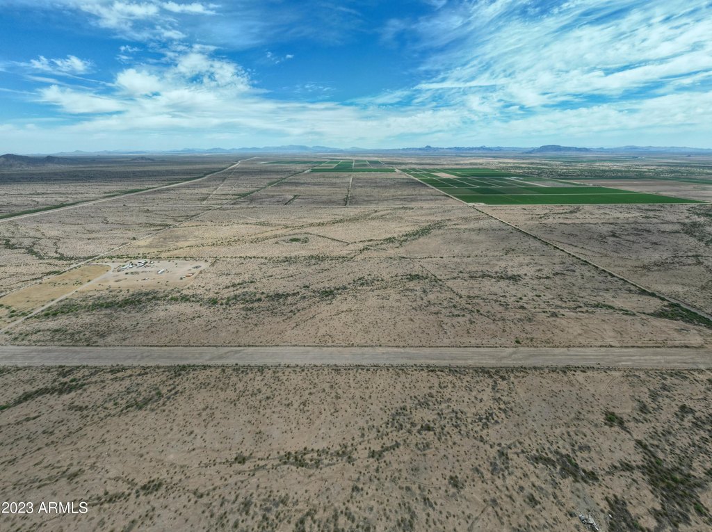
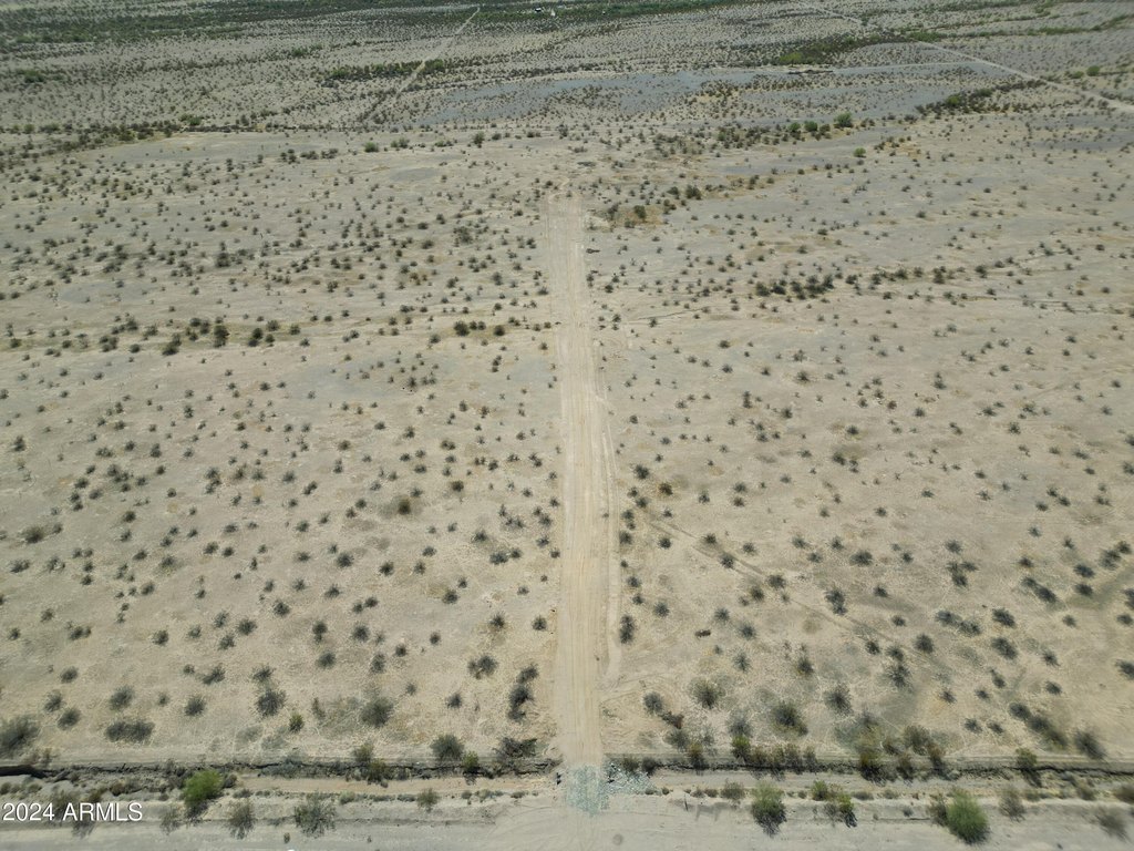
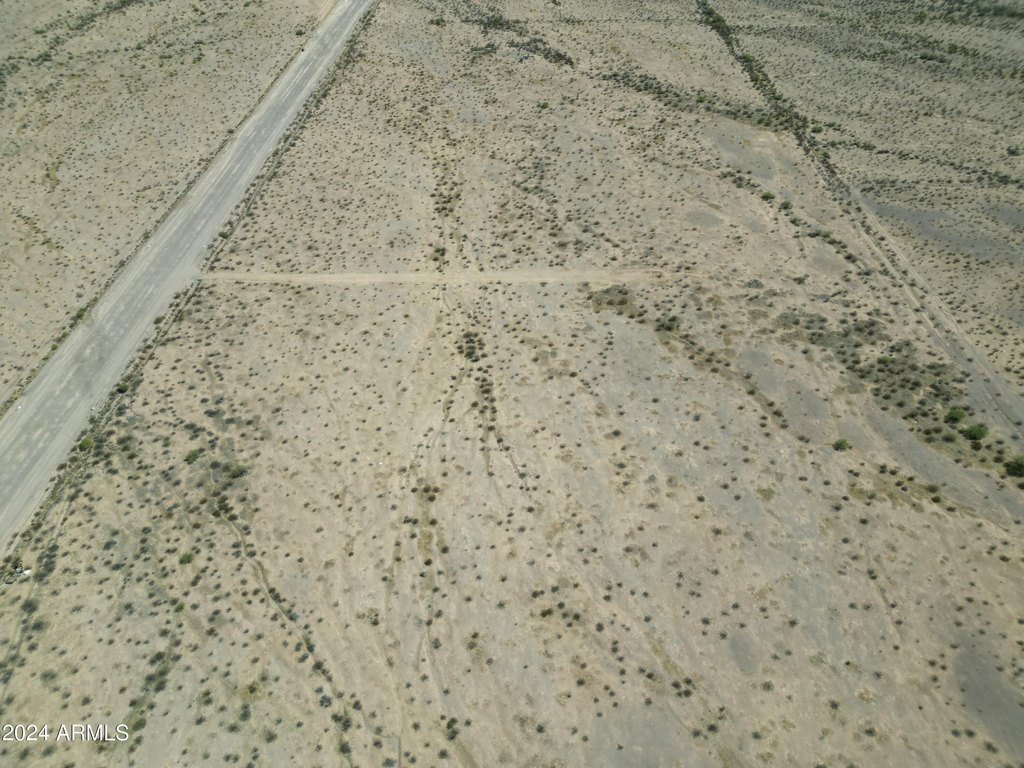
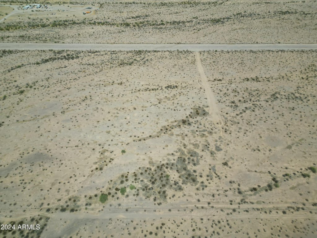
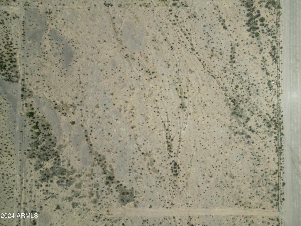
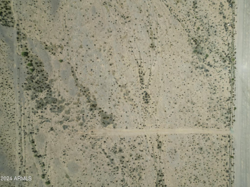
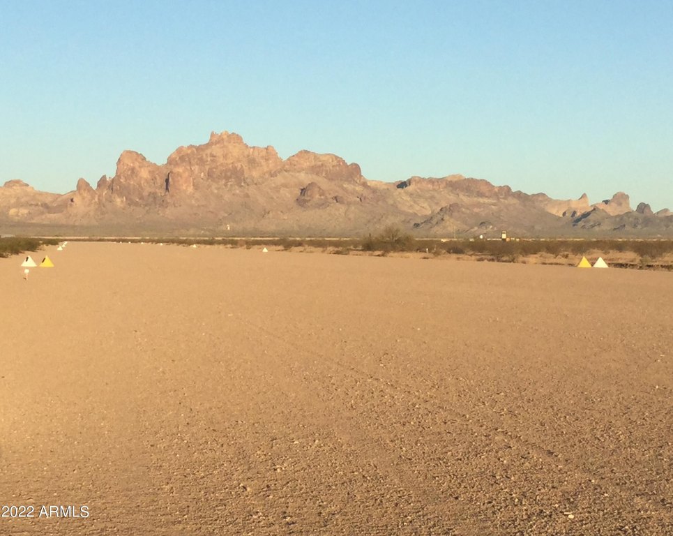
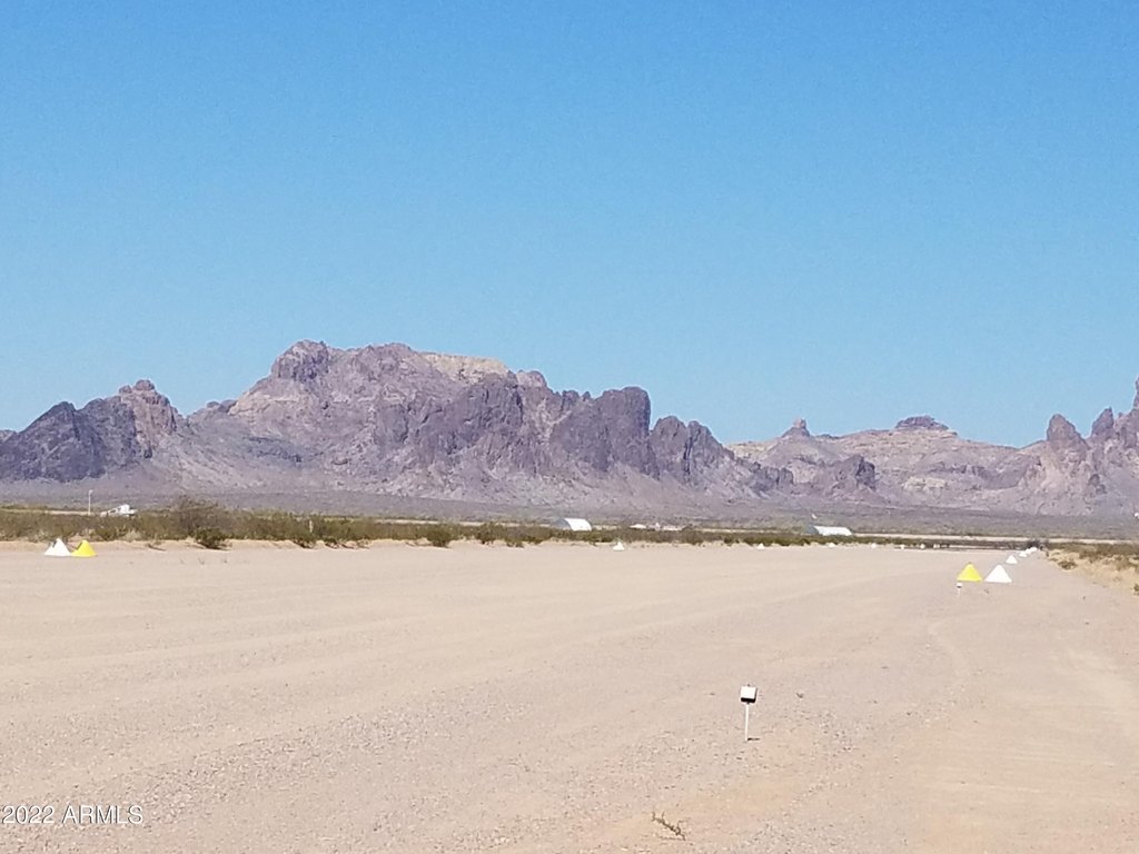
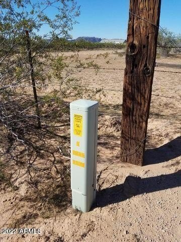
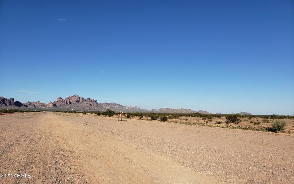
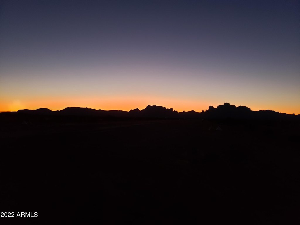
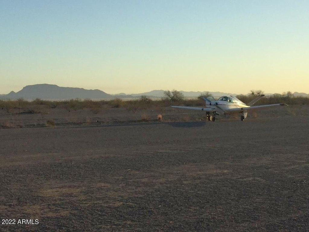
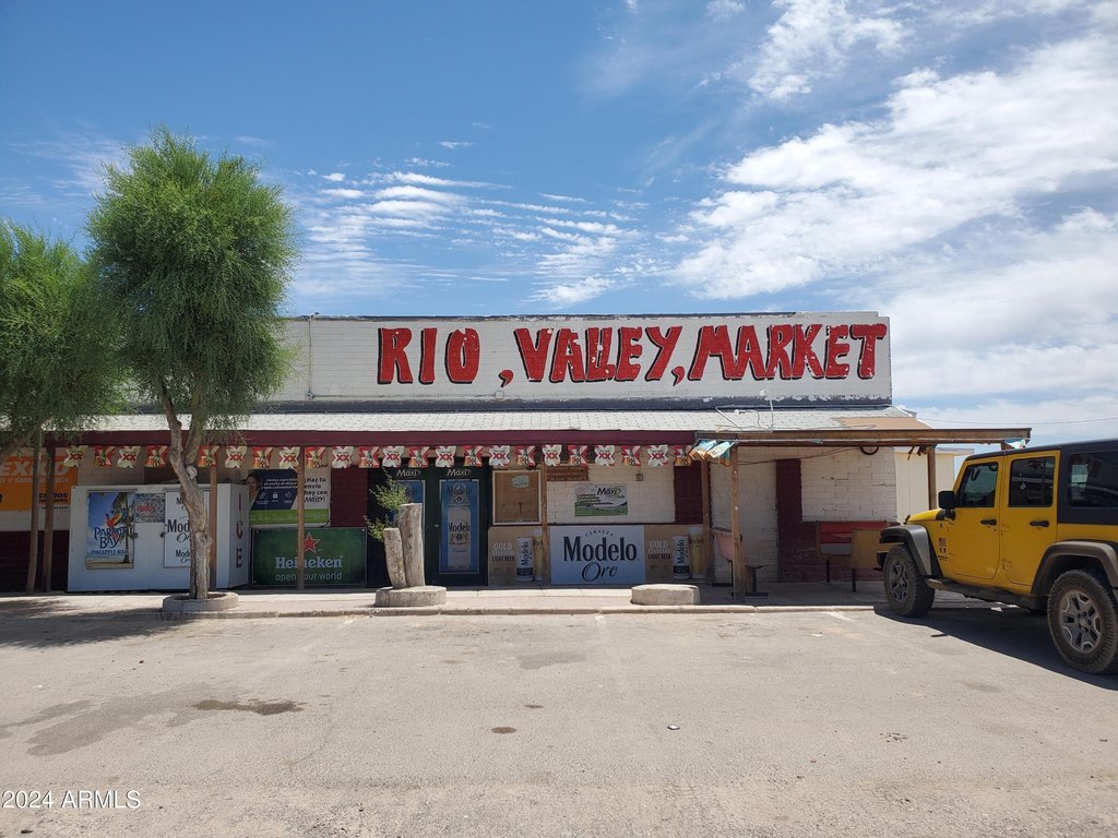
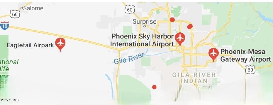
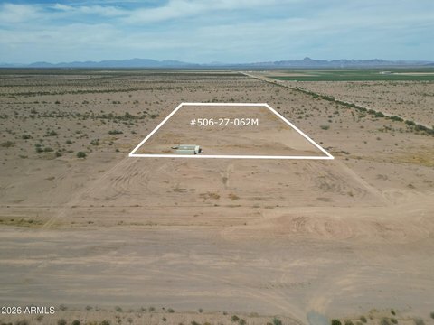
This offering is a surveyed runway lot within Eagletail Airpark. The property includes approximately 3 acres and is intended for airpark-style use, including room for manf or site-built homes for a hangar/home or ranch setup. The community is described as having well-maintained roads with paved access for most of the route. The listing also notes current solar power in use and APS power for the community currently in process. Prospective buyers should take note of the caution provided: do not drive on the runway.
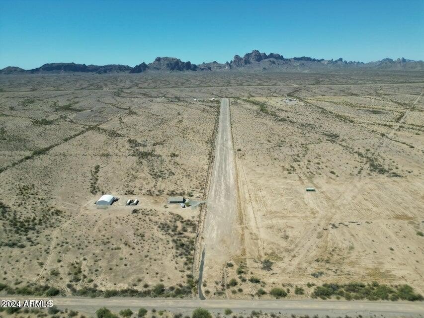
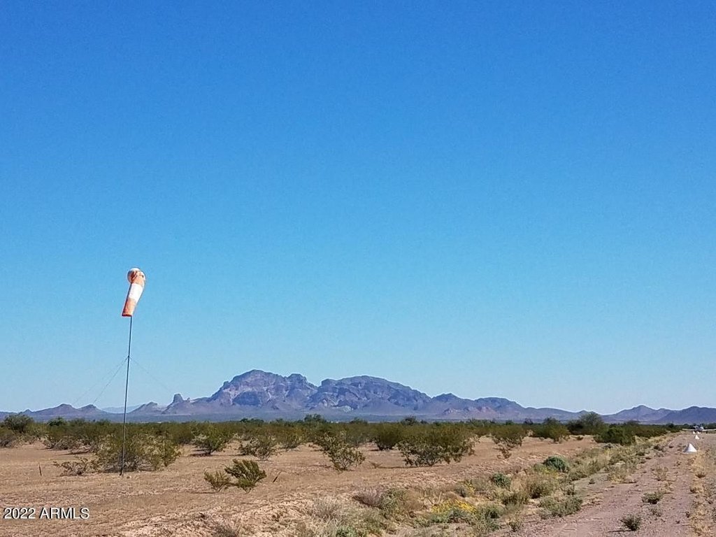
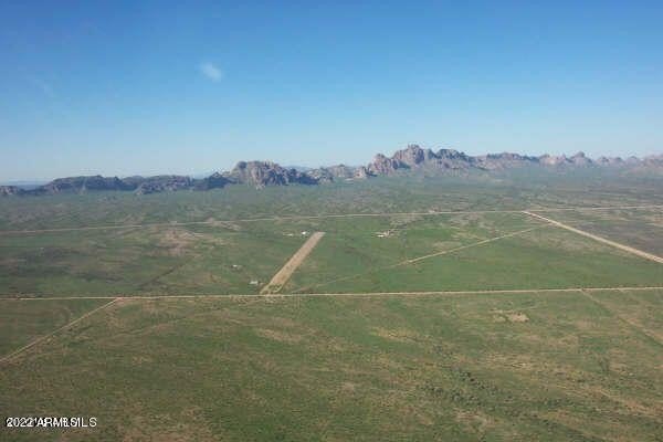
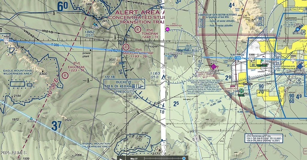
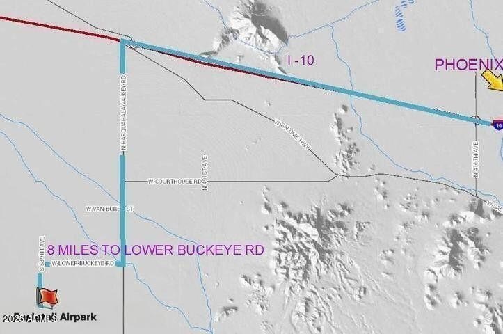
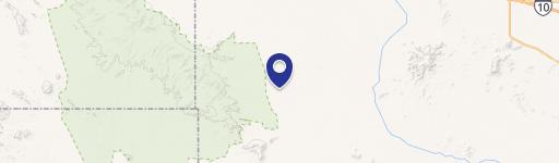
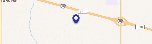
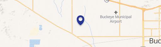
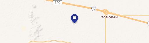
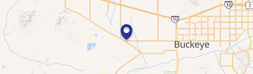
Eagletail Airpark is served by Global Water Co and Century Link Communications. The associated airport/heliport is identified as 0AZ1 and features 5,100 feet of runway with displaced thresholds at both ends. The remarks also state there is no flood zone and that there is no restricted airspace overhead, supporting “easy in, easy out” use. Access to the community is described as approximately 40 minutes west of Buckeye, in the Phoenix, AZ metro area.
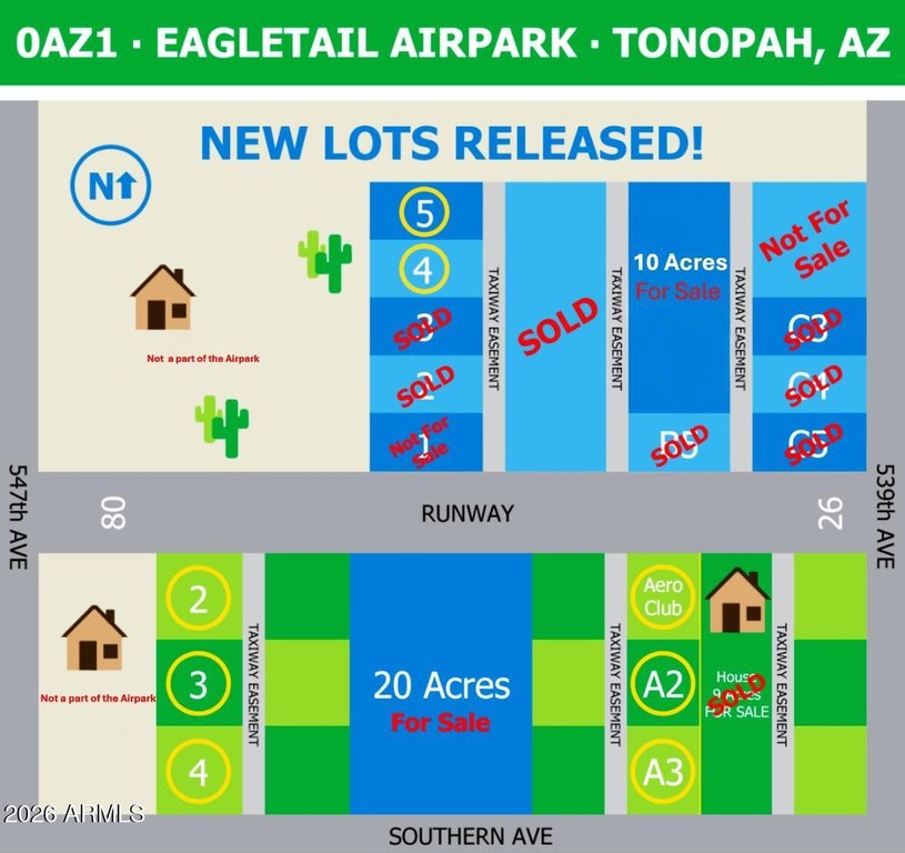
For buyers looking for an aviation-focused property, this is positioned as the only runway lot available in the airpark, which may appeal to users who want direct participation in a private airpark community while maintaining flexibility for hangar/home or ranch-related construction within the RU-43 zoning noted for the site.
Eagletail Airpark is served by Global Water Co and Century Link Communications. The associated airport/heliport is identified as 0AZ1 and features 5,100 feet of runway with displaced thresholds at both ends. The remarks also state there is no flood zone and that there is no restricted airspace overhead, supporting “easy in, easy out” use. Access to the community is described as approximately 40 minutes west of Buckeye, in the Phoenix, AZ metro area.
For buyers looking for an aviation-focused property, this is positioned as the only runway lot available in the airpark, which may appeal to users who want direct participation in a private airpark community while maintaining flexibility for hangar/home or ranch-related construction within the RU-43 zoning noted for the site.
Key Highlights
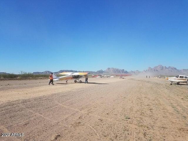
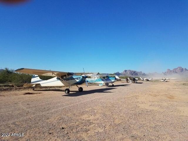
- Rare Runway Lot: The only available runway lot in Eagletail Airpark, offering direct access to a private runway.
- Airpark Access: Exclusive community with access to a private 5100' runway (0AZ1‑Airport/Heliport).
- Large Lot Size: Surveyed 3‑acre lot suitable for a hangar/home or ranch.
Property Analytics
Property Profile
Location Intelligence
Current Use by Public Records
Aviation real estate
Similar For Sale Nearby
FAQs
What type of property is this?
Aviation real estate - Surveyed lot in Eagletail Airpark with access to a private 5,100-foot runway for airpark living.
Where is this aviation real estate located?
The property is located at 546xx W Sunland Avenue Tonopah, AZ.
What is the asking price?
The asking price for this property is $80,000.
What are key features of this property?
This property features: Rare Runway Lot: The only available runway lot in Eagletail Airpark, offering direct access to a private runway.; Airpark Access: Exclusive community with access to a private 5100' runway (0AZ1‑Airport/Heliport).; Large Lot Size: Surveyed 3‑acre lot suitable for a hangar/home or ranch.