5210 S US Hwy 79, Palestine, TX 75803
- Added:
- Feb 5, 2026
- Days on Market:
- 137
- Last Refresh:
- Jun 22 at 2:06 am
Property Features for 5210 S US Hwy 79
General Information
- Property type
- Land
- Property subtype
- Other
- Standard status
- Active
- Lot size
- 27.67 Acres
Taxes and HOA fees
- Tax Annual Amount
- 917
Listing agent Jeremy Caruthers License #0627529 (903) 581-3737
Listing office Drake Real Estate & Investments 11621 CR 166, Tyler, TX (903) 581-3737
Listing date Feb 5, 2026
Copyright © 2026 Greater Tyler Association of Realtors. All rights reserved. All information provided by the listing agent/broker is deemed reliable but is not guaranteed and should be independently verified.
HighLights
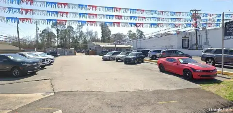
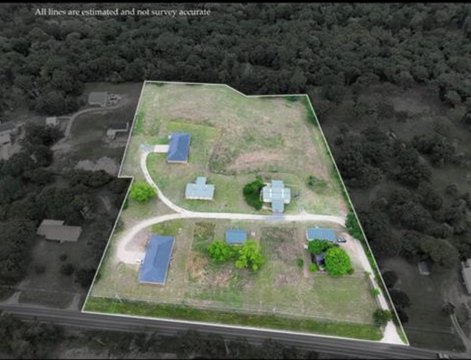
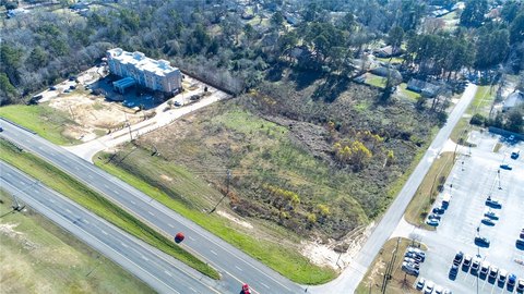
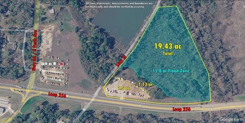
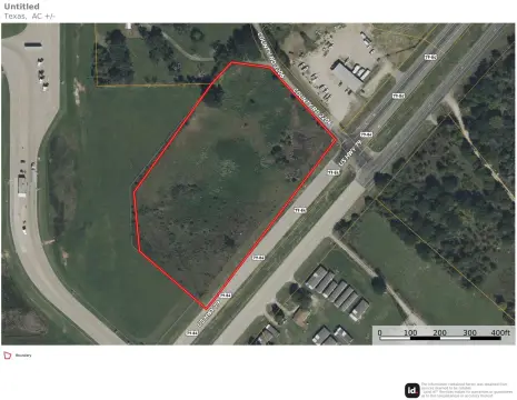
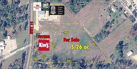
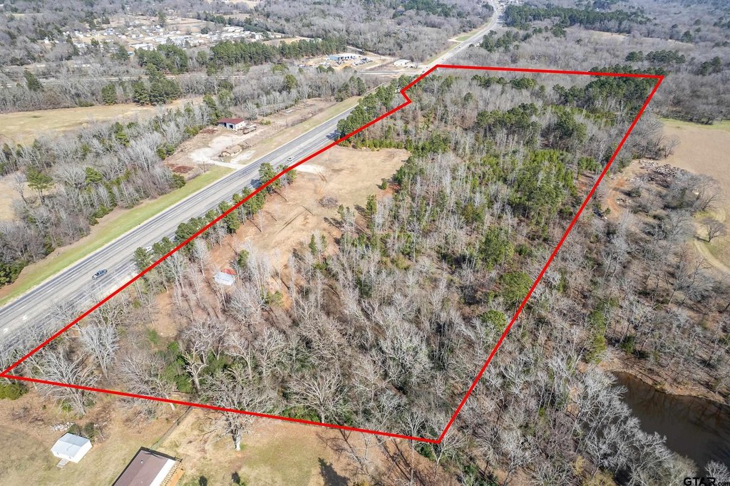
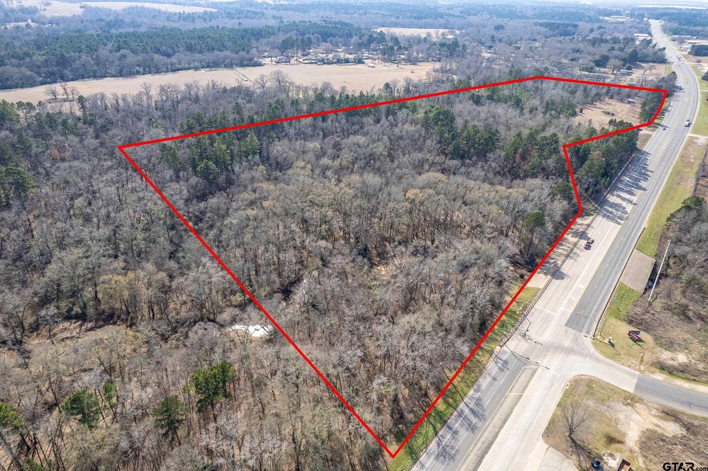
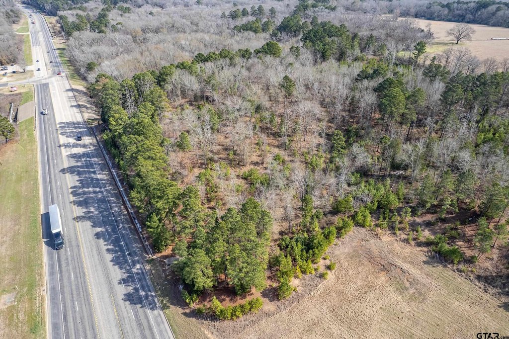
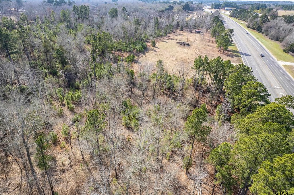
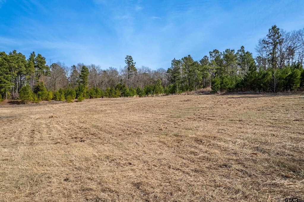
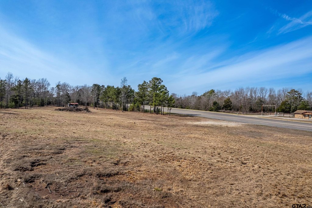
- 27+/- acres with approx. 2,000 ft of high‑visibility frontage along heavily traveled US Hwy 79/84 in Palestine
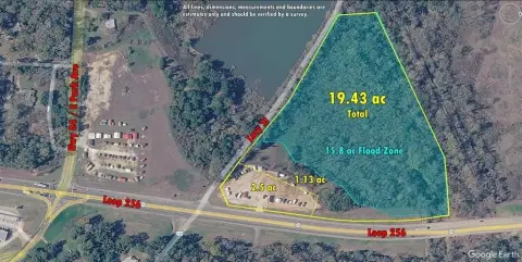
- Rectangular, elevated tract with attractive topography and minimal floodplain; small portion on NE boundary in FEMA flood zone
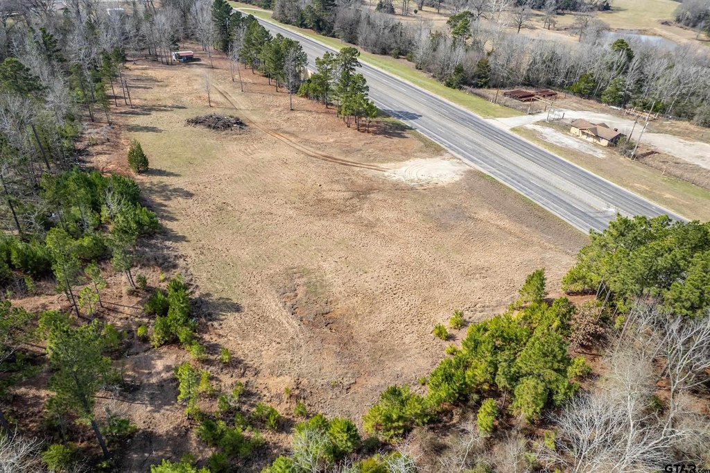
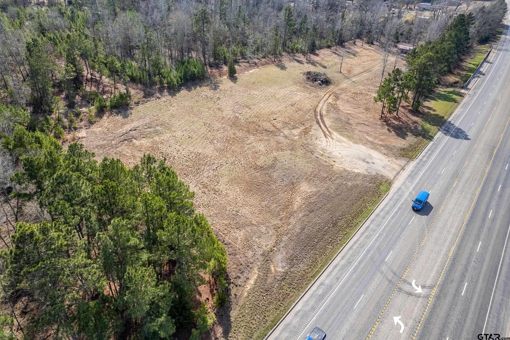
- Concrete entry drive already in place for convenient access
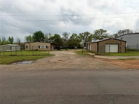
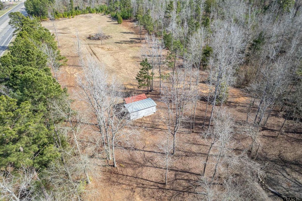
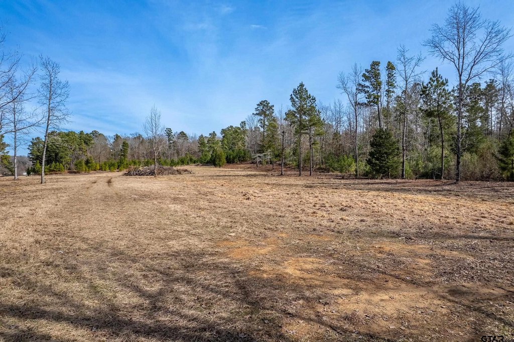
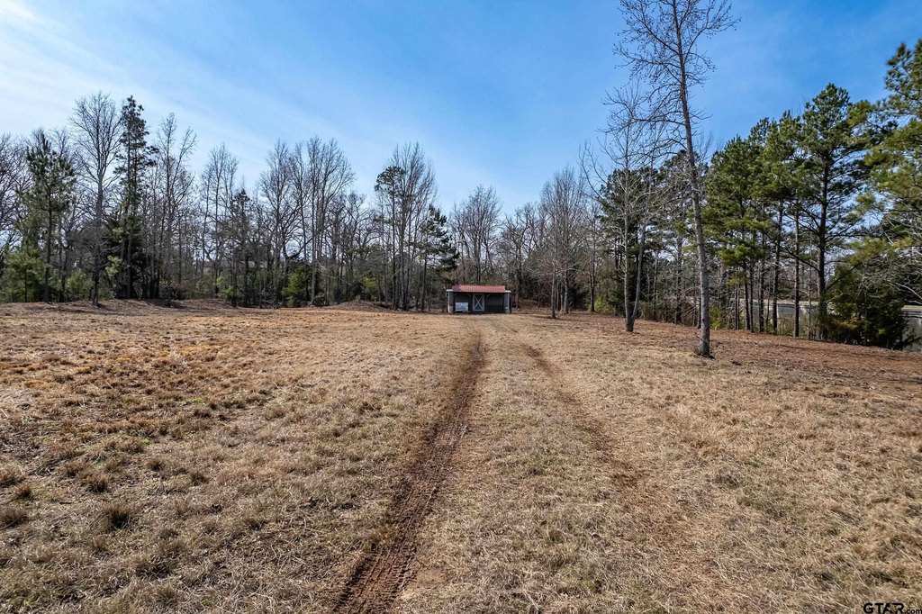
- Approximately 20% is cleared and level for immediate building site; remainder has mature timber and elevated terrain for phased development
- Most of the property lies within City of Palestine limits; water and sewer utilities available
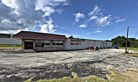
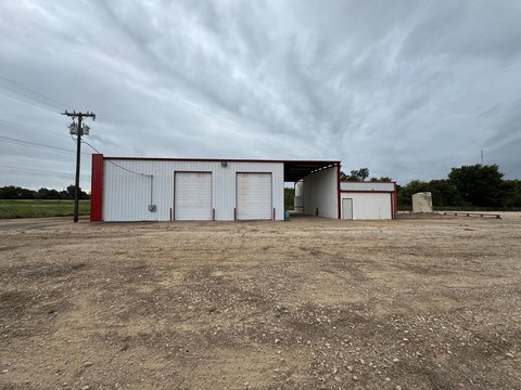
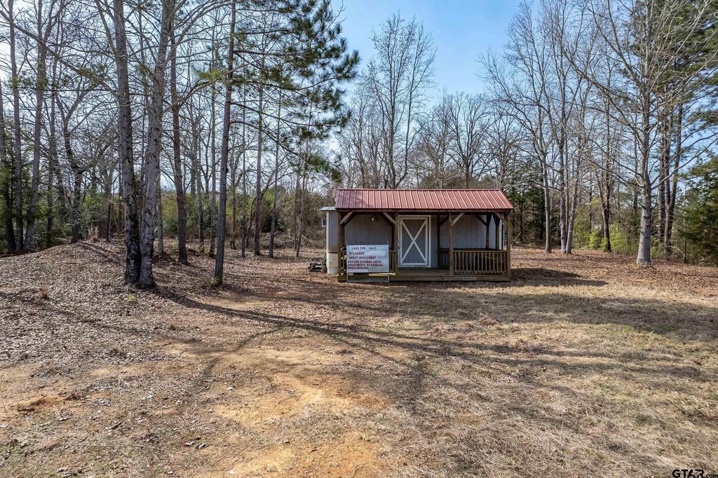
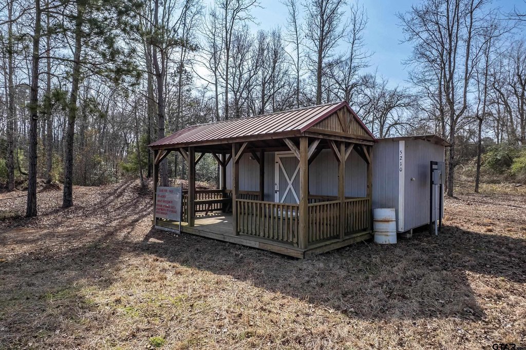
- Includes a 288 SF building with electricity for storage or use as a construction/project office during development
Overview
The tract provides approximately 2,000 feet of frontage along US Highway 79/84, positioned along a corridor described as heavily traveled. Most of the property lies within the City of Palestine limits, and water and sewer utilities are available. A small portion along the northeast boundary is located within the FEMA flood zone. The land is served by Westwood ISD.
With utilities available and substantial cleared acreage, this site can work for a range of development scenarios, including retail, warehouse, mixed-use, multifamily, or residential development. The existing entry drive and onsite power-ready building support an easier start for contractors, staging, and early site management.
Current Use by Public Records
Location Insight
- Map
- Local Demand
- City
- Palestine
- County
- Anderson
- State
- Texas
- Longitude
- -95.694891
- Latitude
- 31.719122