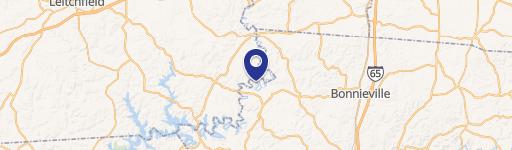
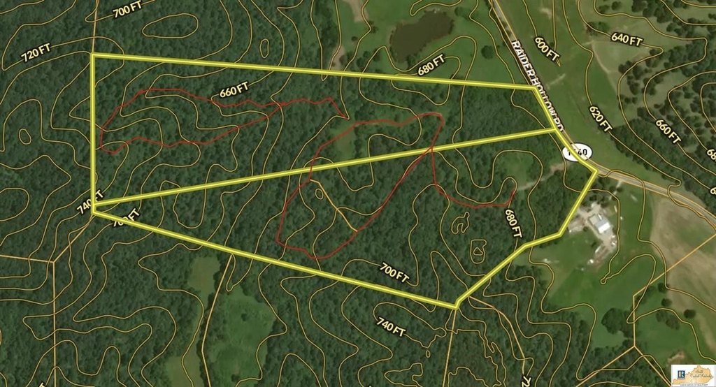
4305 Raider Hollow Road, Munfordville, KY 42765


- Added:
- Feb 18, 2026
- Days on Market:
- 124
- Last Refresh:
- Jun 22 at 9:06 pm
Property Features for 4305 Raider Hollow Road
General Information
- Property type
- Land
- Property subtype
- Other
- Standard status
- Active
- Lot size
- 73.00 Acres
Listing agent Dane Driscoll License #298521 (270) 765-8345
Listing office Whitetail Properties Real Estate, LLC 121 S Madison St., Pittsfield, KY (217) 473-5642
Listing date Feb 18, 2026
Copyright © 2026 South Central Kentucky Association of Realtors. All rights reserved. All information provided by the listing agent/broker is deemed reliable but is not guaranteed and should be independently verified.
HighLights
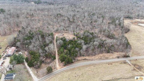
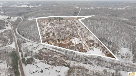
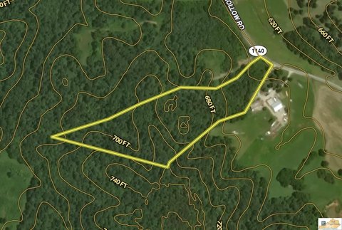
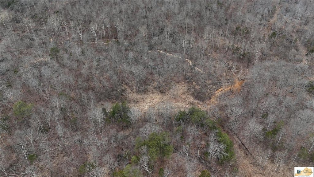
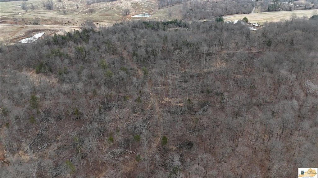
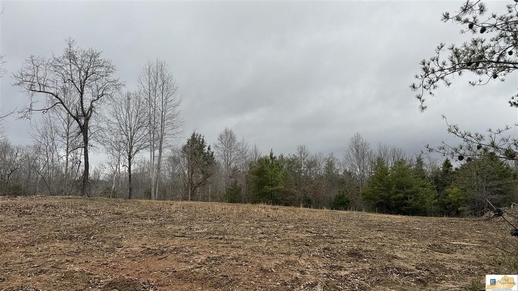
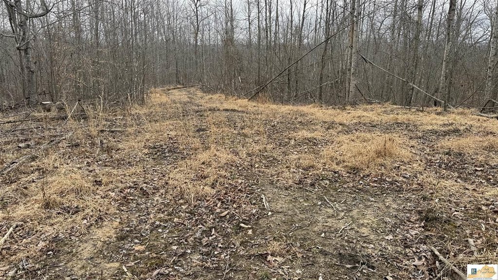
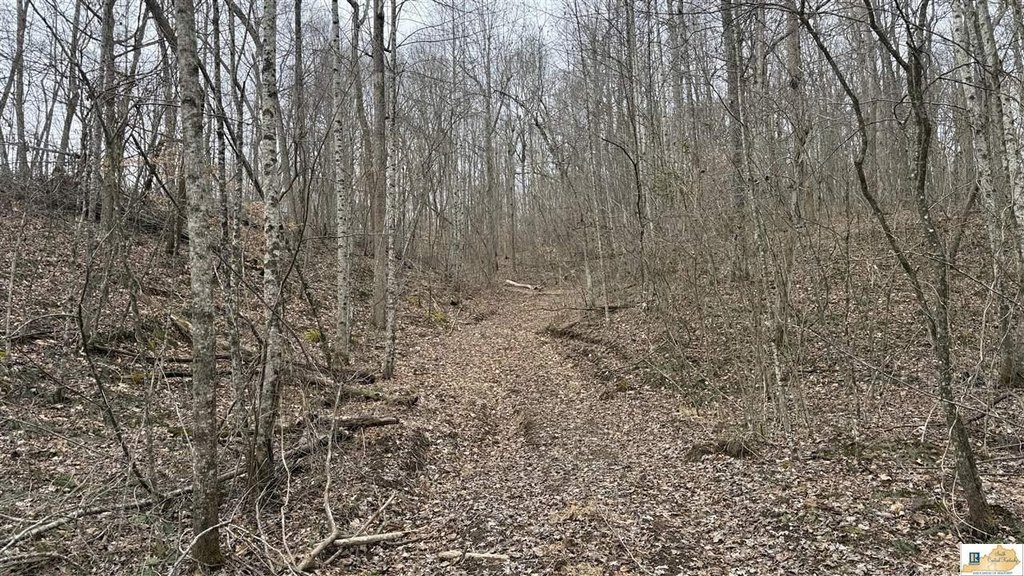
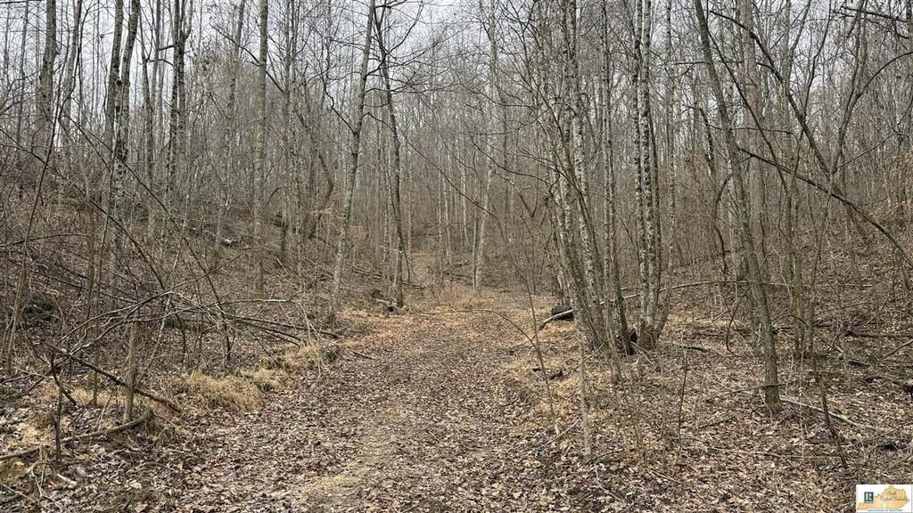
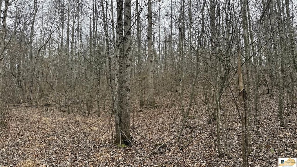
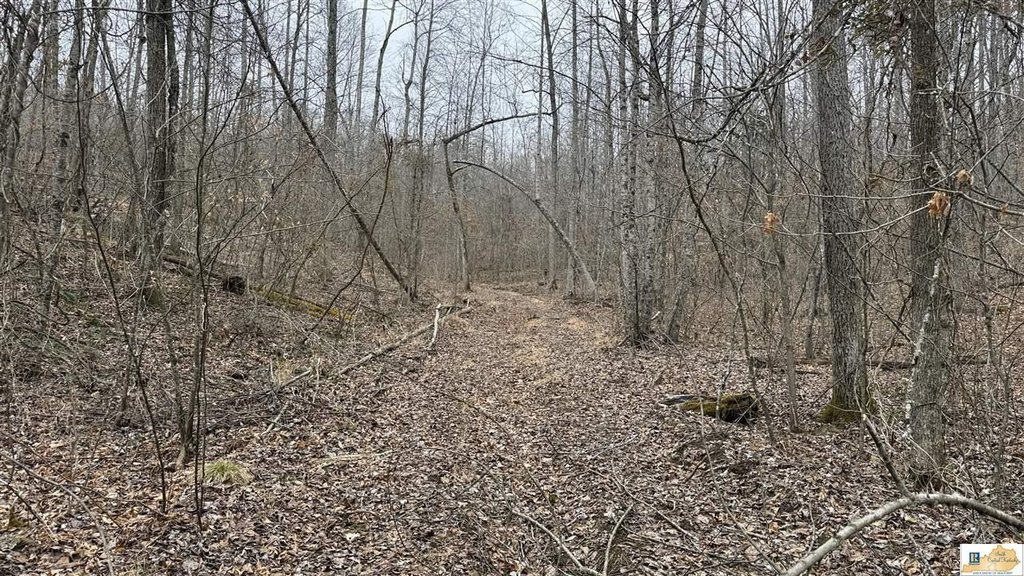
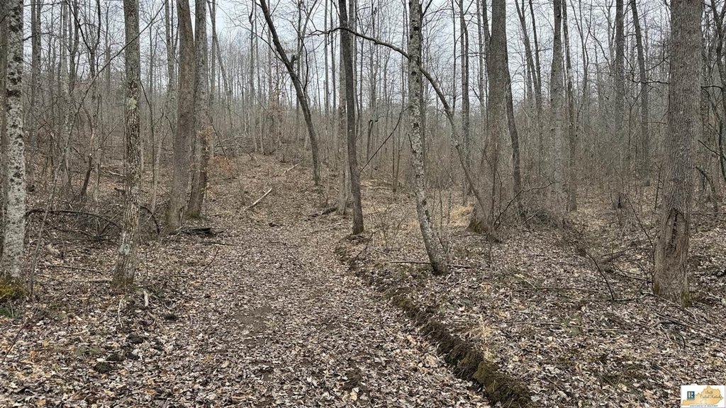
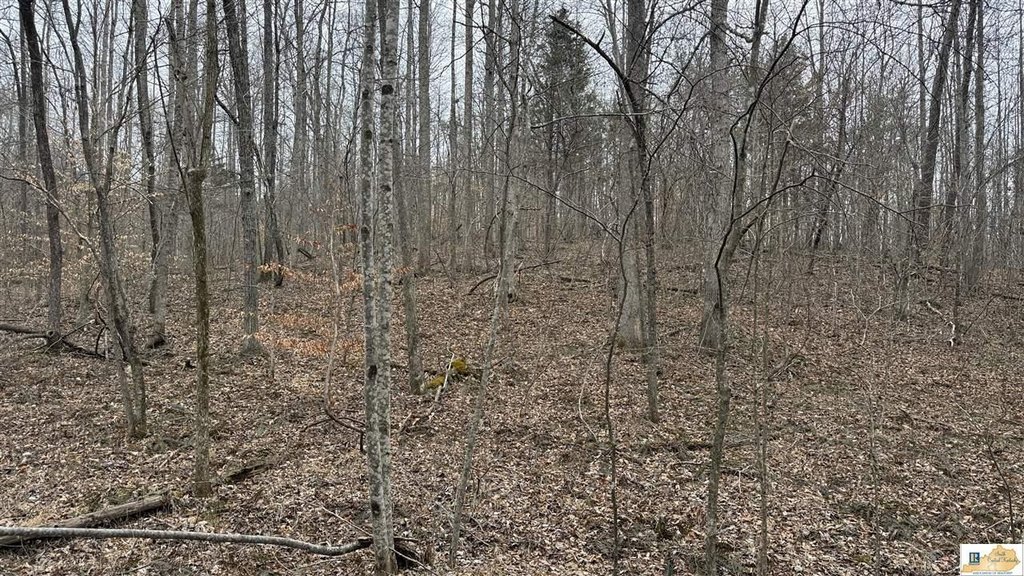
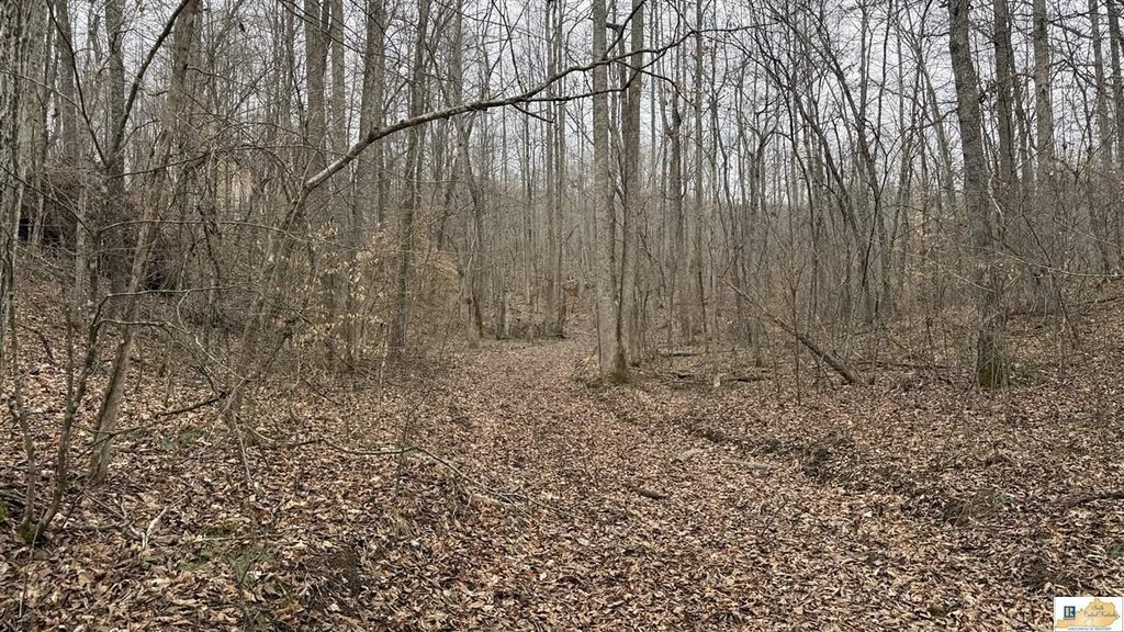
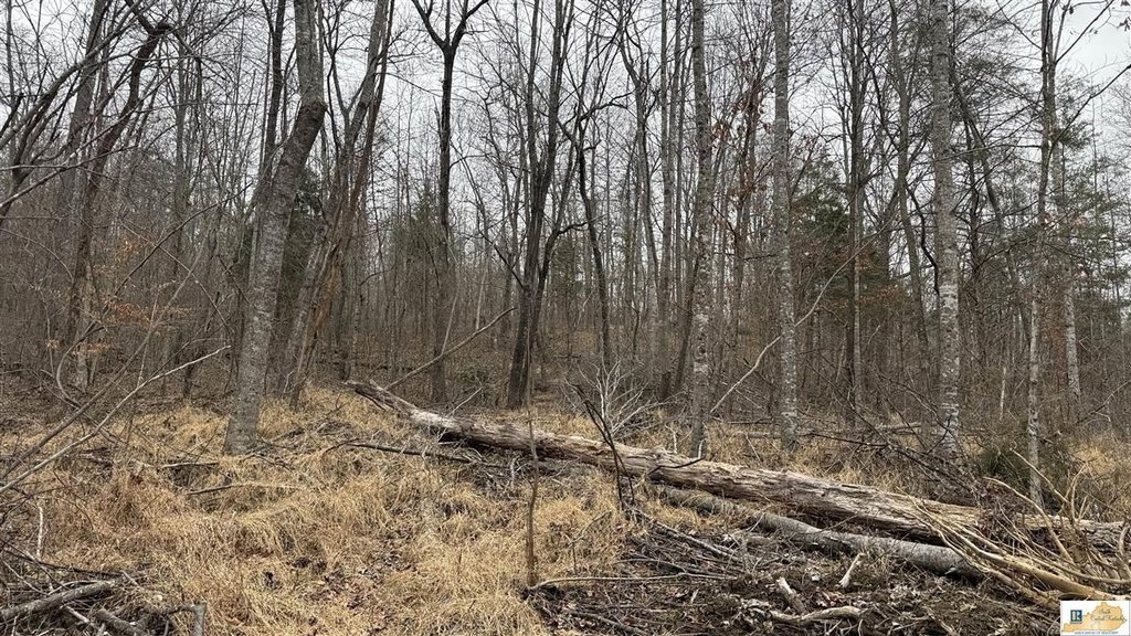
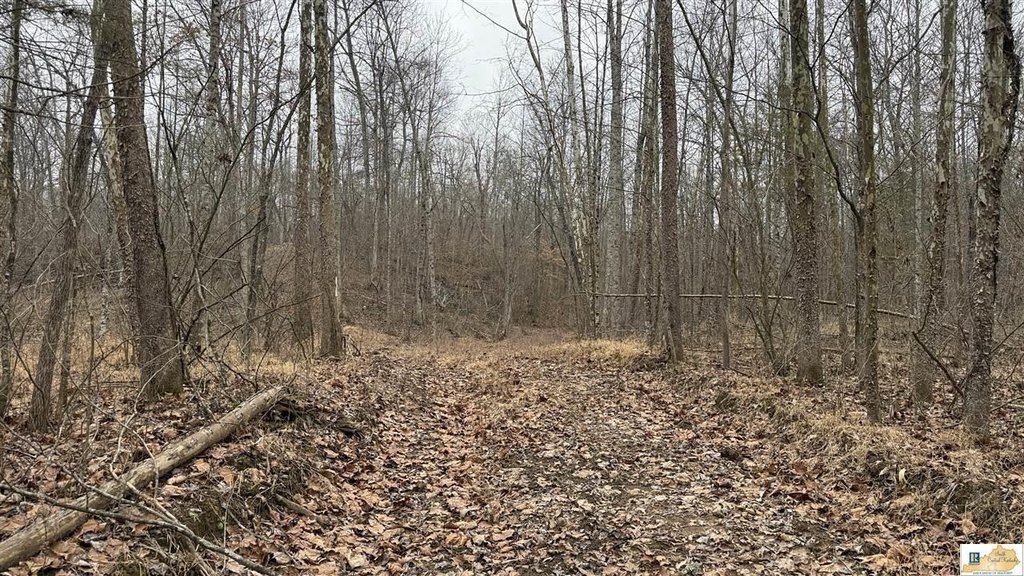
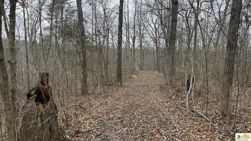
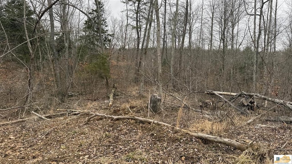
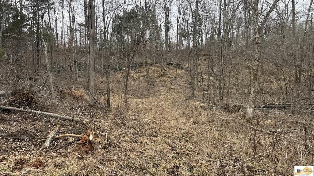
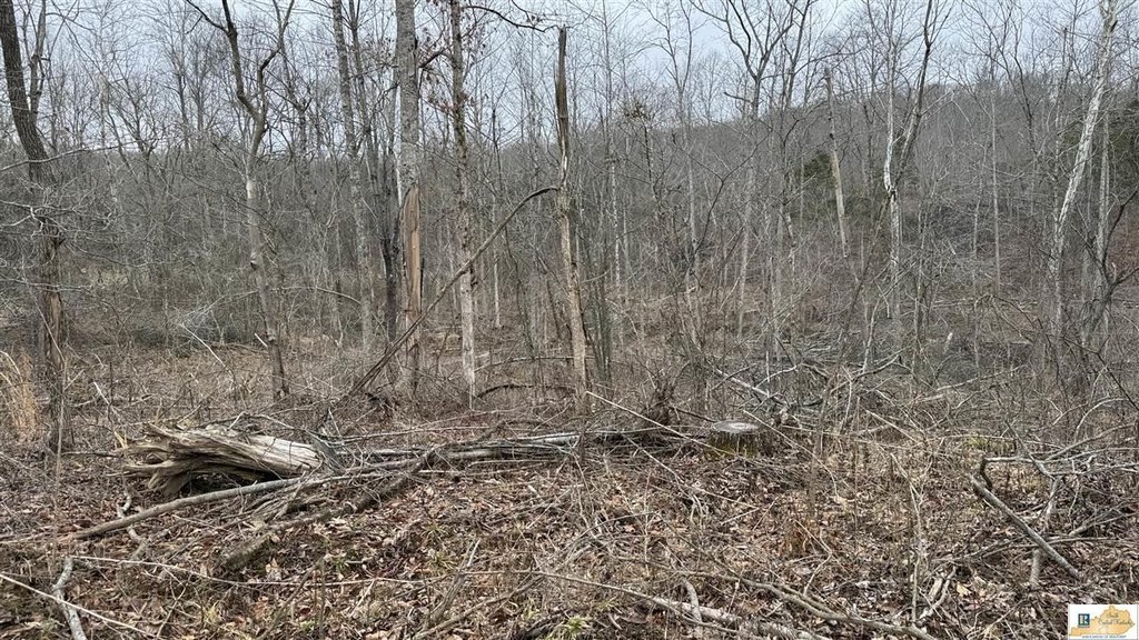
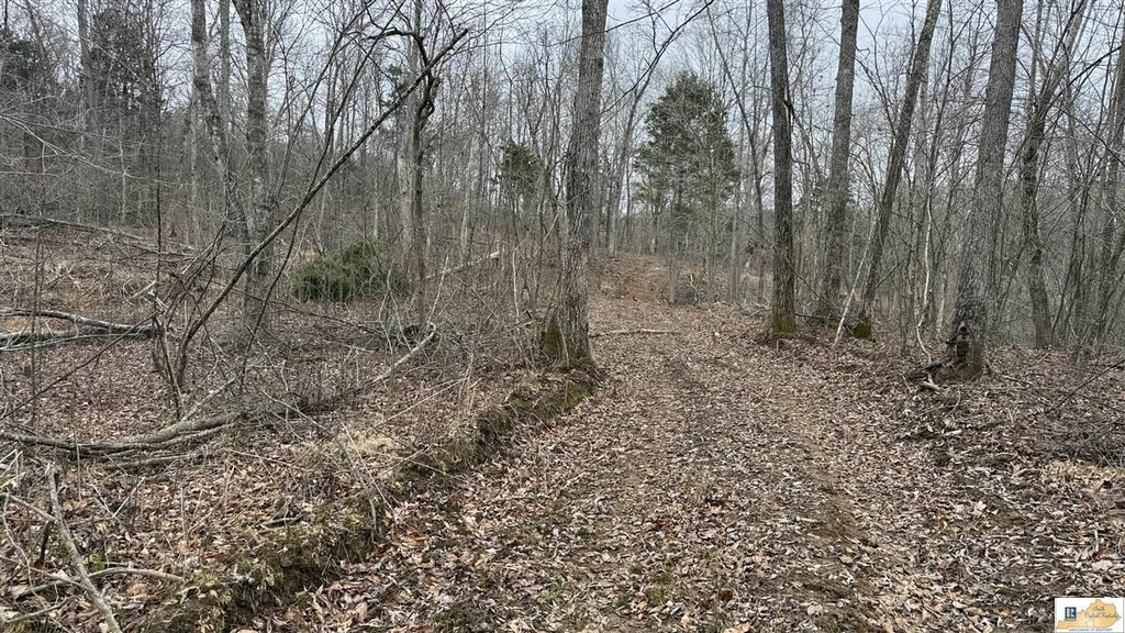
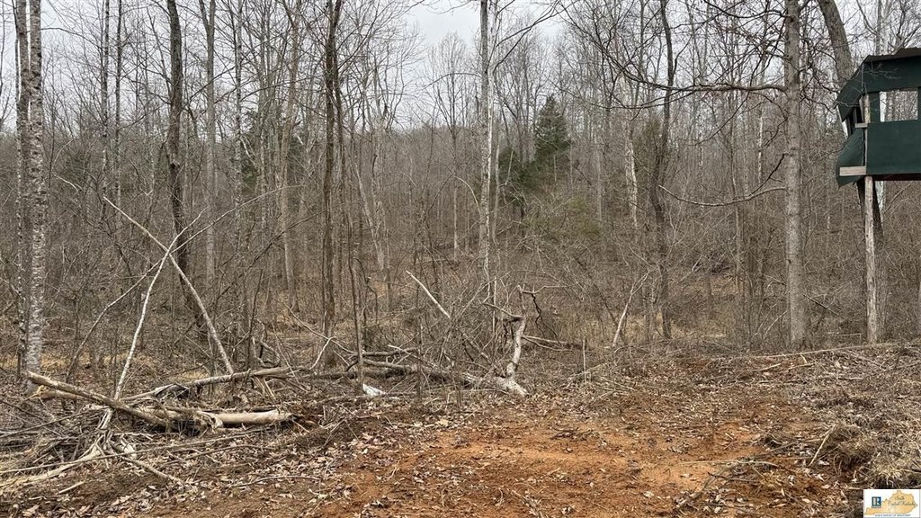
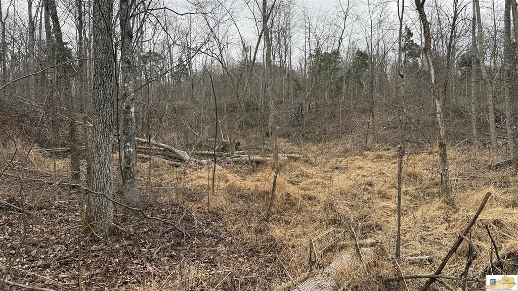
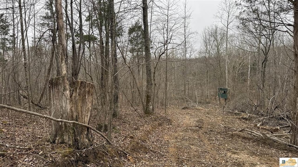
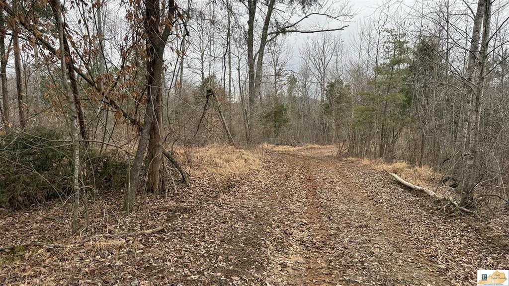
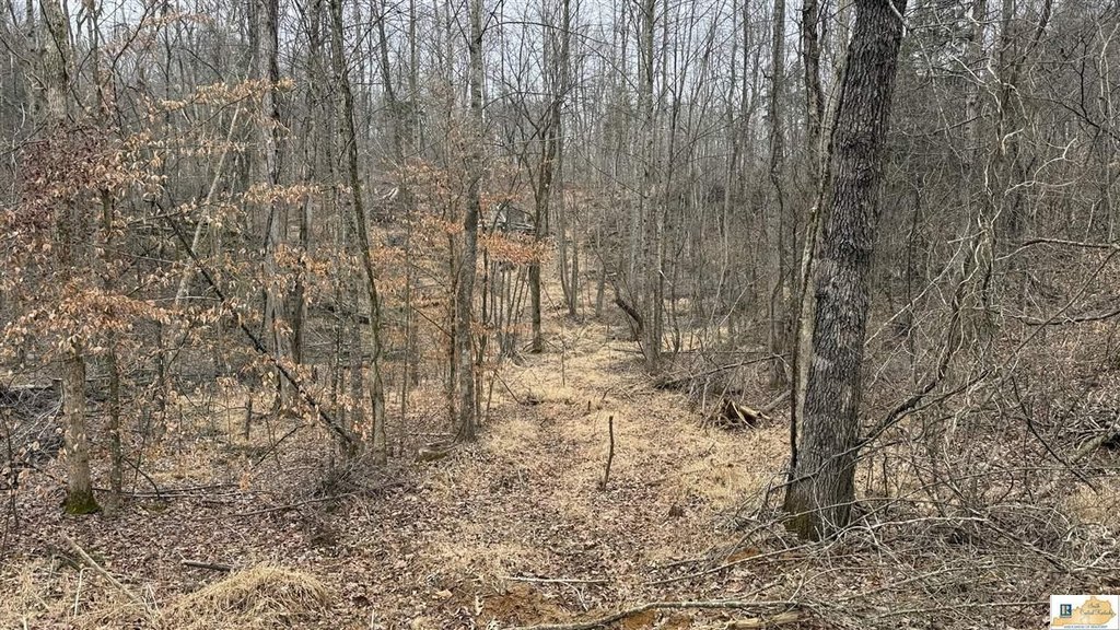
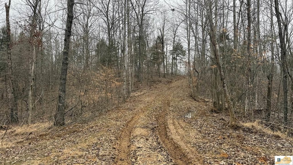
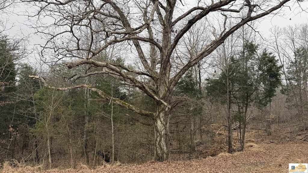
- 73‑acre tract offering recreational opportunities.
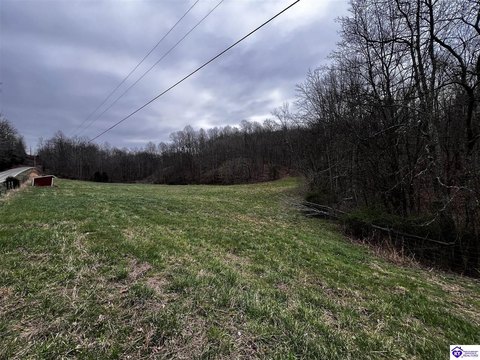
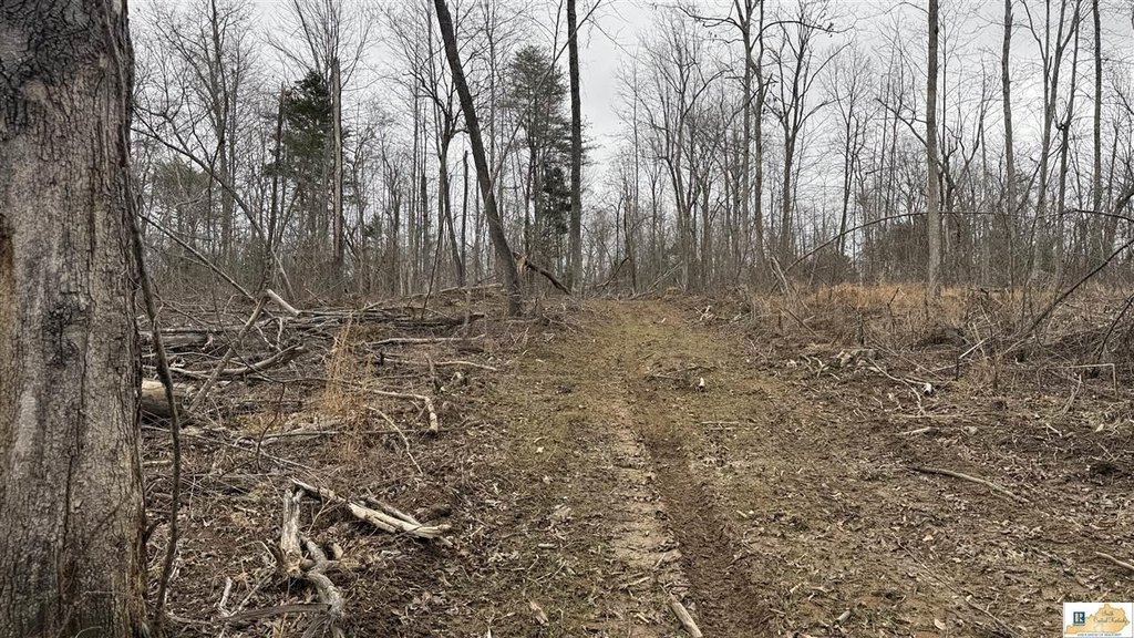
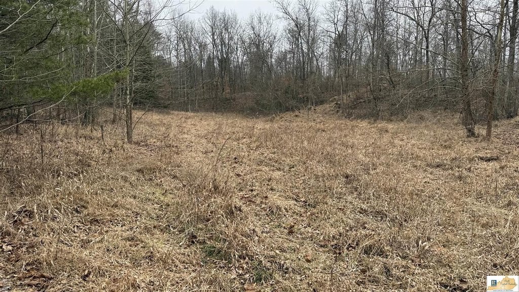
- Potential building site with a cleared area.
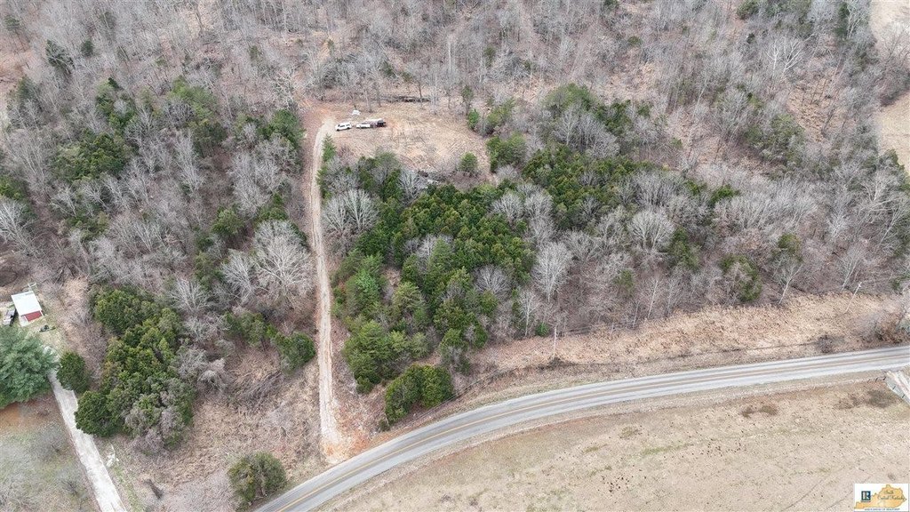
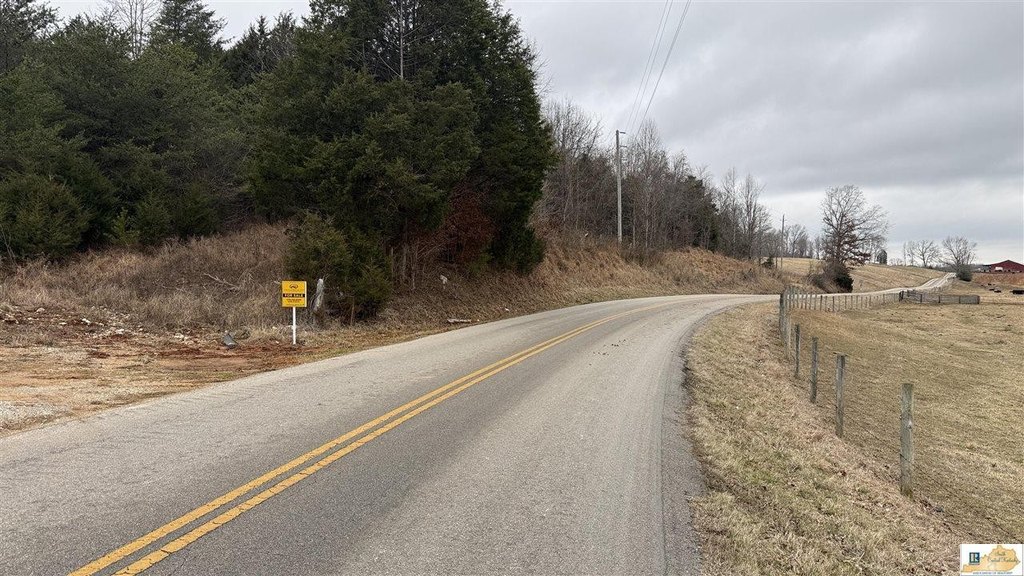
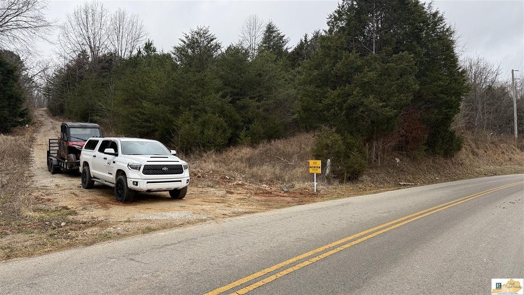
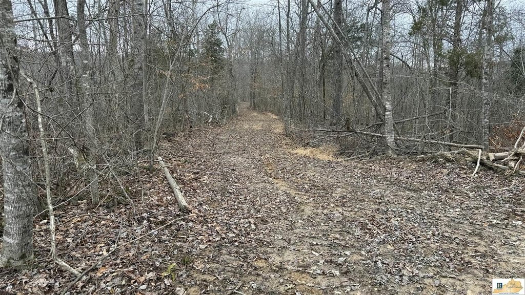
- Approximately 630 feet of road frontage on Raider Hollow Road.
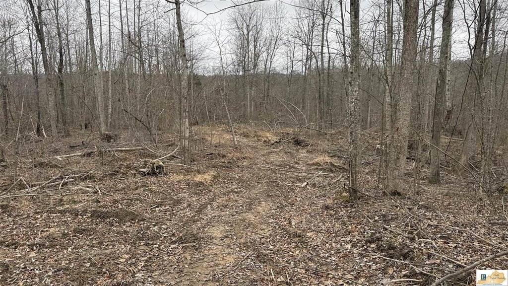
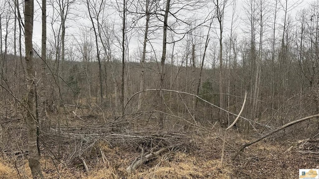
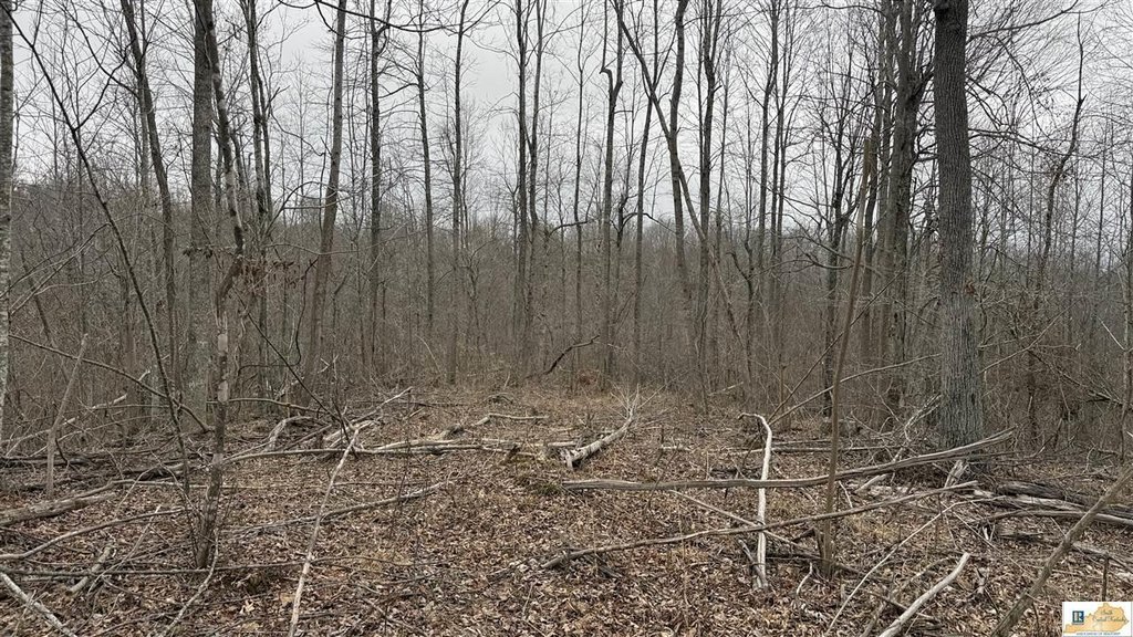
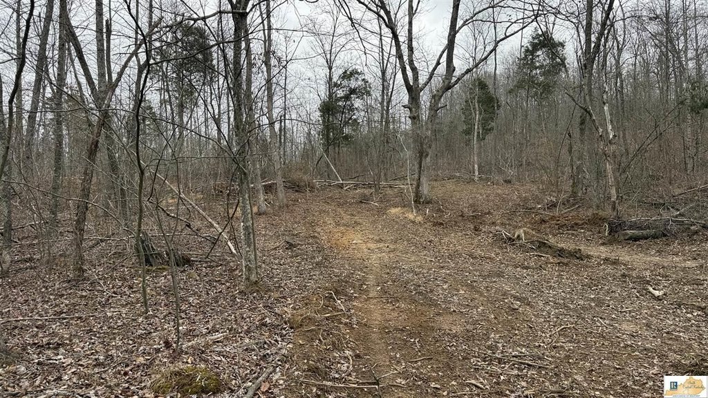
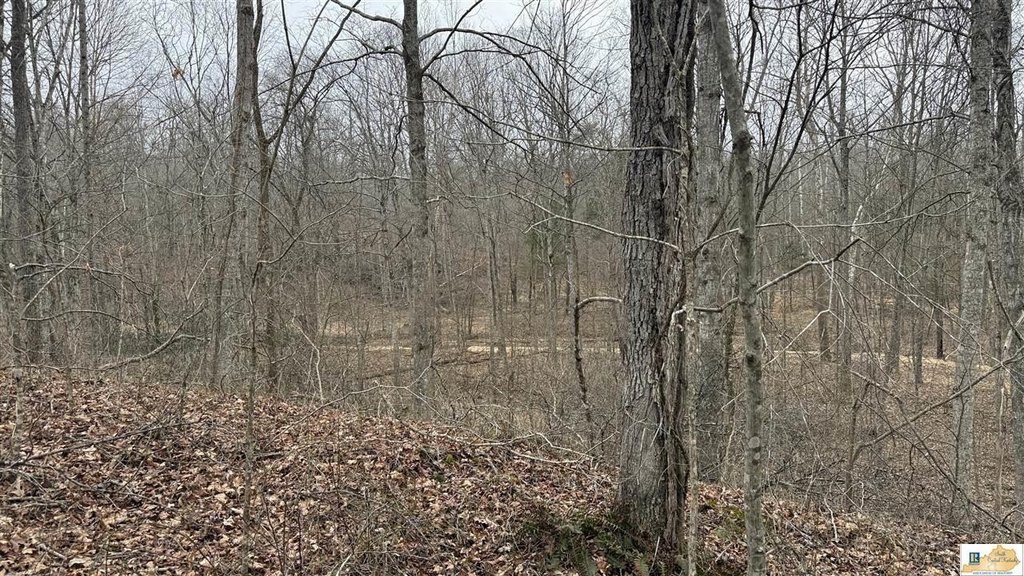
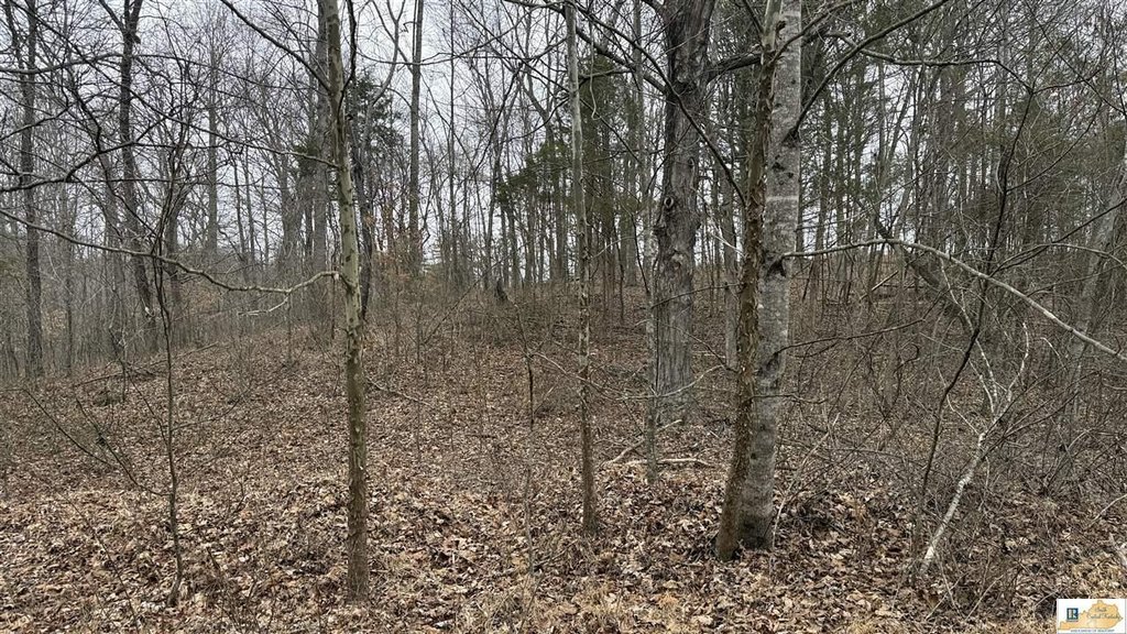
- Regenerating timber and early successional growth creating habitat.
- Conveniently located near Munfordville, Glasgow, Elizabethtown and Bowling Green.
- Rolling topography with wooded sections and interior trails.
Overview
The property is located at 4305 Raider Hollow Road in Hart County, Kentucky, with approximately 630 feet of road frontage along a county-maintained roadway for direct access. Utilities are believed to be available at the road, though buyers should verify connection requirements with local providers during due diligence. The terrain and cover combine natural browse and varied habitat features that can support wildlife observation and recreational use, including deer, turkey, and small game.
For buyers seeking an outdoor property with room to develop their own plan, the existing cover and interior trails may lend themselves to hunting and wildlife management. Food plots, stand locations, and access routes could potentially be developed based on individual goals and the property configuration. Due diligence should include verifying acreage and boundary lines, assessing timber condition, confirming utility availability, and reviewing zoning and intended use prior to closing.
Current Use by Public Records
Map
- City
- Munfordville
- County
- Hart
- State
- Kentucky
- Longitude
- -85.9630972
- Latitude
- 37.3405702