Airport Commercial Aviation
For Sale
$347,000
42 E Hawker, Ennis, MT 59759
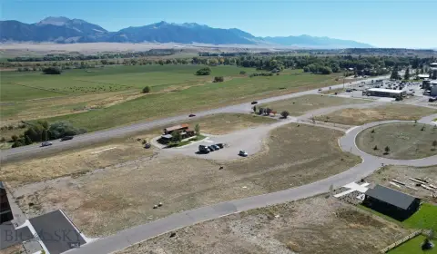
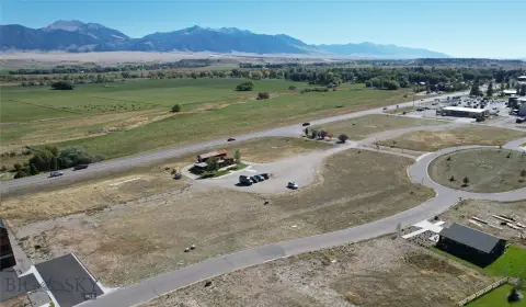
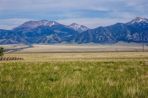
A large airport lot with direct taxiway access options and utilities to support aviation hangar and related uses.
Property SizeContact for details
Lot Size5.96 Acres
Days on Market113
Property Features for 42 E Hawker
General Information
Standard status
Active
Lot size
5.96 Acres
Property subtype
Land
Zoning
Call Listing Agent for Details
Additional Details
Utilities to Site
Yes
Taxes and HOA fees
Annual Taxes
$449
Listing Agency:
Engel & Volkers Ennis
Listed By:
Lincoln Roberts
(406) 581-6283
Source:
Evrealestate
Added: Jul 3
Changed: Oct 20
Last Checked: Oct 23 at 7:32AM
Displayed information is deemed reliable but is not guaranteed and should be independently verified. All listing content including descriptions, pricing, images are the copyrighted material of Engel & Volkers Ennis

Ask AI about this property
Review the available facts, identify missing information and prepare questions for the agent.
Investment Insights
Based on property information with market context.
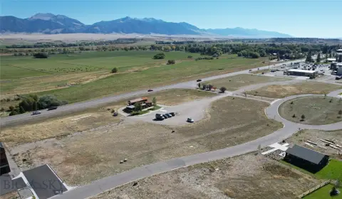
This airport commercial lot is offered as Lot 20-B2 within the Covenants for Shining Mountains Airpark and permits a hanger and either residential or commercial use. The property includes power and fiberoptic communications brought to the lot and an unimproved grass/gravel taxiway intended for a tail dragger. Direct taxiway access onto the 7400 runway is described as available, with runway access possible through the fence if the new owner chooses to install a gate and any required turf or asphalt taxiway improvements per county and FAA regulations.
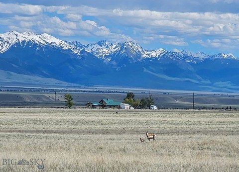
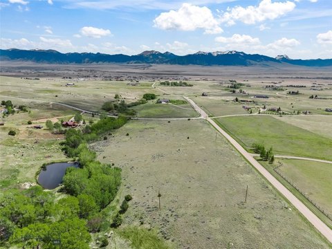
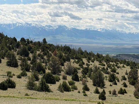
The property is located on the east side of the Ennis–Big Sky Airport (FAA LID EKS). It is described as part of the National Plan of Integrated Airport Systems as a general aviation airport, located about 6 miles south of Ennis, MT and about 30 miles to Big Sky via the private Jack Creek Road. The listing also notes non-public access to the Lee Metcalf Wilderness area and National Forest Lands.
For aviation-oriented buyers, the combination of airport-commercial covenants, utility availability, and the presence of a grass/gravel taxiway is designed to support hangar development and aviation use consistent with the Airpark framework. The current airport through-the-gate access agreement restricts aviation activities to non-commercial aviation use, which should be reviewed when planning any operational or business activities.
The property is located on the east side of the Ennis–Big Sky Airport (FAA LID EKS). It is described as part of the National Plan of Integrated Airport Systems as a general aviation airport, located about 6 miles south of Ennis, MT and about 30 miles to Big Sky via the private Jack Creek Road. The listing also notes non-public access to the Lee Metcalf Wilderness area and National Forest Lands.
For aviation-oriented buyers, the combination of airport-commercial covenants, utility availability, and the presence of a grass/gravel taxiway is designed to support hangar development and aviation use consistent with the Airpark framework. The current airport through-the-gate access agreement restricts aviation activities to non-commercial aviation use, which should be reviewed when planning any operational or business activities.
Key Highlights
- 5.961‑acre lot on the east side of the Ennis–Big Sky Airport (FAA LID EKS) with direct taxiway access to the 7400 runway
- Airport is designated for general aviation and is part of the National Plan of Integrated Airport Systems
- Covenants for Shining Mountains Airpark: Lot 20‑B2 is Airport Commercial, permitting a hangar and/or residential or commercial use
Property Analytics
Unlock full access to Insights
Subscribe to Realmo Intelligence
Open Analytics
Lease Details
Yes
Utilities to site
Location Intelligence
Trade Area within ½ mile
5
Businesses Nearby
Explore this area
Business Placement
Demographics for 59759, MT
3,467
Population
1,848
Households
1.9
Avg Household Size
53
Median Age
20%
College-Educated
92%
High-School Grad
440.1 sq mi
ZIP Area
8
Density / Sq Mi
$55,237
Median Household Income
$27,632
Median Earnings
$872
Median Rent
$333,000
Median Home Value
Check the figures for this property
Cap Rate, Value Estimation, Potential NOI and more
View Realmo Analytics


Frequently Asked Questions
What type of property is this?
Commercial land - A large airport lot with direct taxiway access options and utilities to support aviation hangar and related uses.
Where is this commercial land located?
The property is located at 42 E Hawker Ennis, MT.
What is the asking price?
The asking price for this property is $347,000.
What are key features of this property?
This property features: 5.961‑acre lot on the east side of the Ennis–Big Sky Airport (FAA LID EKS) with direct taxiway access to the 7400 runway; Airport is designated for general aviation and is part of the National Plan of Integrated Airport Systems; Covenants for Shining Mountains Airpark: Lot 20‑B2 is Airport Commercial, permitting a hangar and/or residential or commercial use


