High Desert Hunting
For Sale
$96,000
TL 400 Hogback Road, Riley, OR 97758
Land, Riley, OR
Property SizeContact for details
Lot Size320.00 Acres
Days on Market174
Property Features for TL 400 Hogback Road
General Information
Property type
Land
Property subtype
Other
Standard status
Active
Lot size
320.00 Acres
Taxes and HOA fees
Tax Annual Amount
224
Listing Agency:
Jett Blackburn Real Estate Inc.
(541) 413-5660
Listed By:
Curt Blackburn · License #900200215
(541) 573-7206
Added: Apr 15
Changed: Sep 4
Last Checked: Oct 5 at 3:06AM
MLS# 11742743
Copyright © 2026 My State MLS. All rights reserved. All information provided by the listing agent/broker is deemed reliable but is not guaranteed and should be independently verified.
Investment Insights
Based on property information with market context.
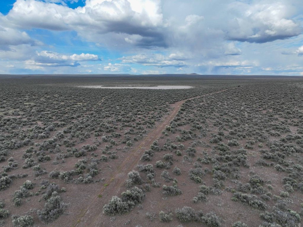
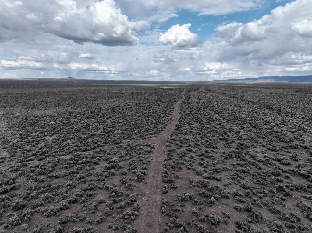
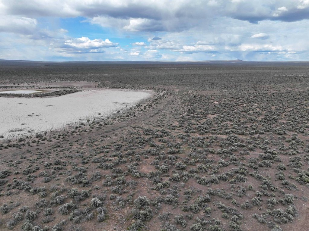
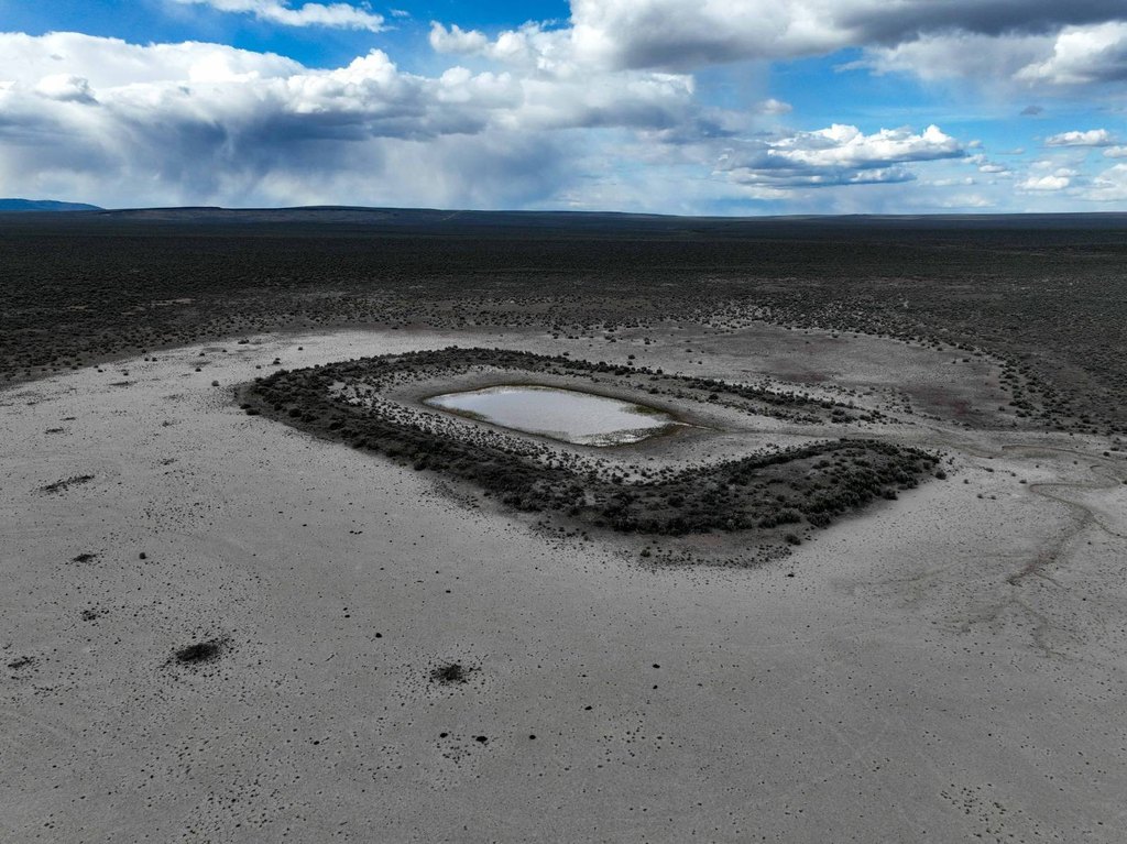
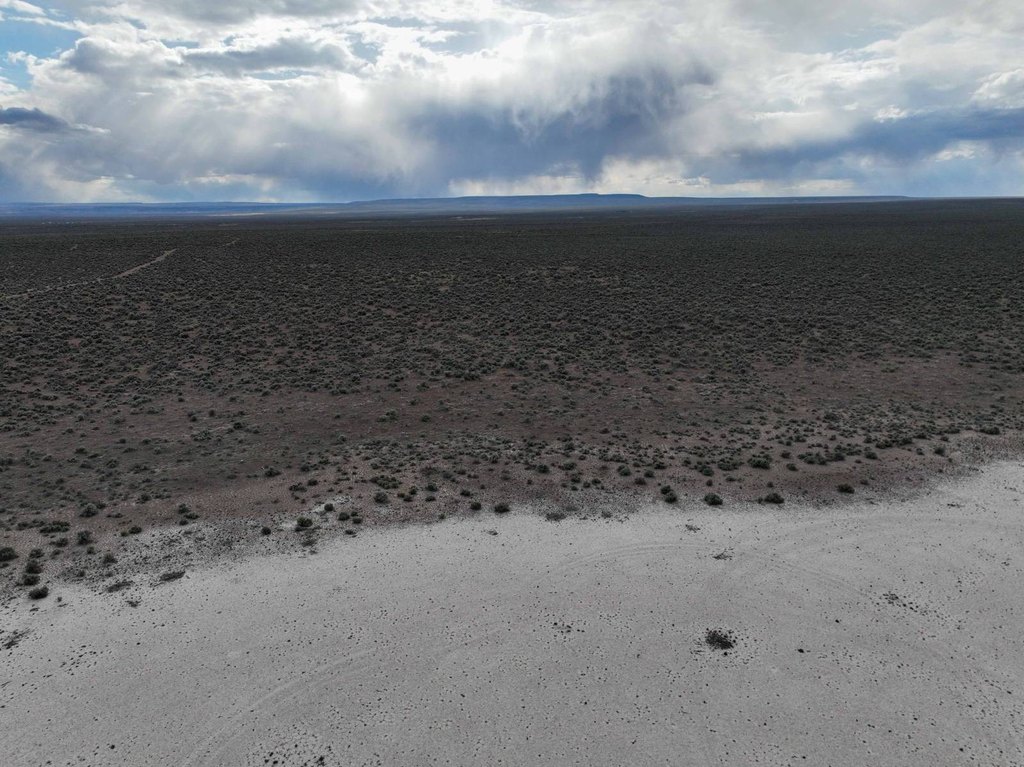
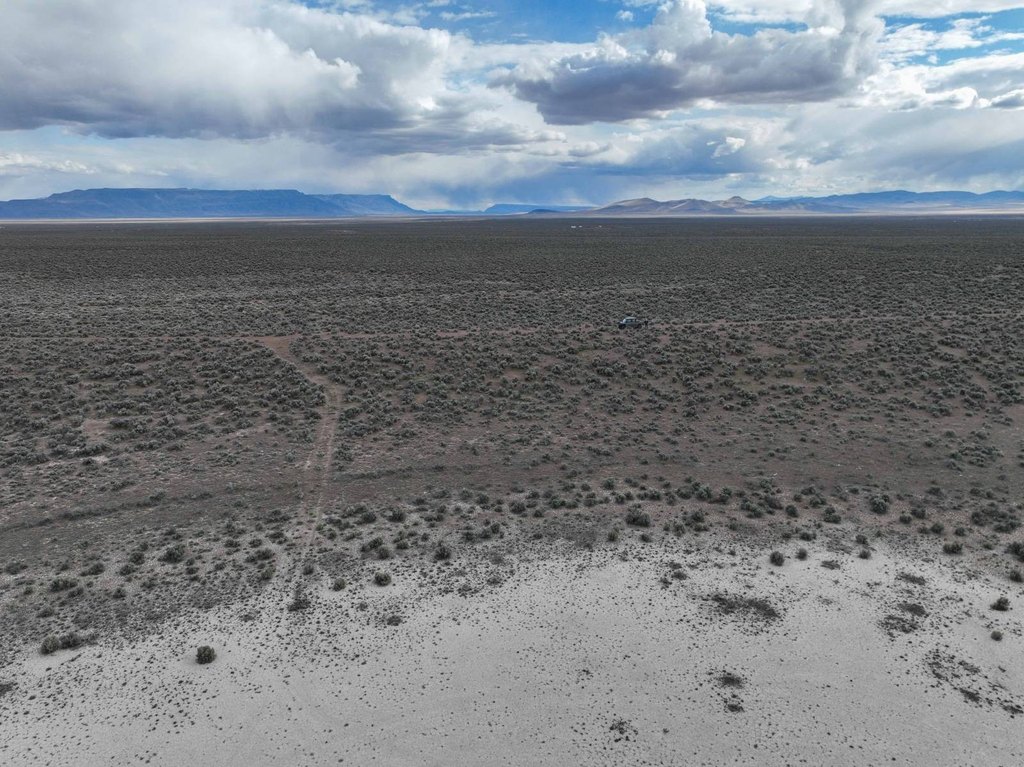
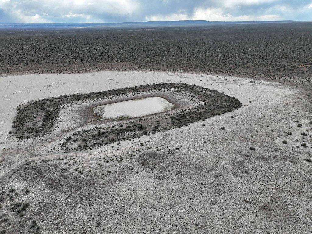
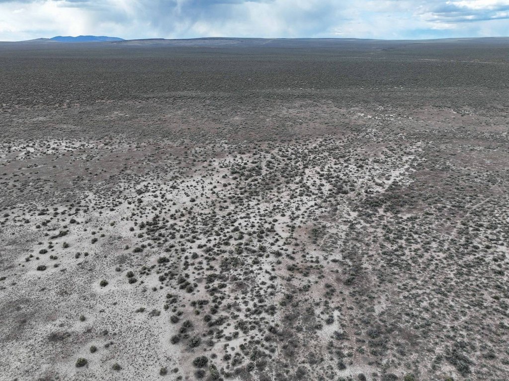
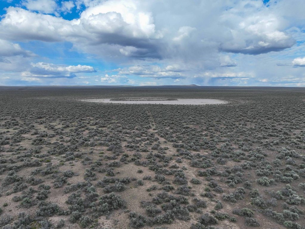
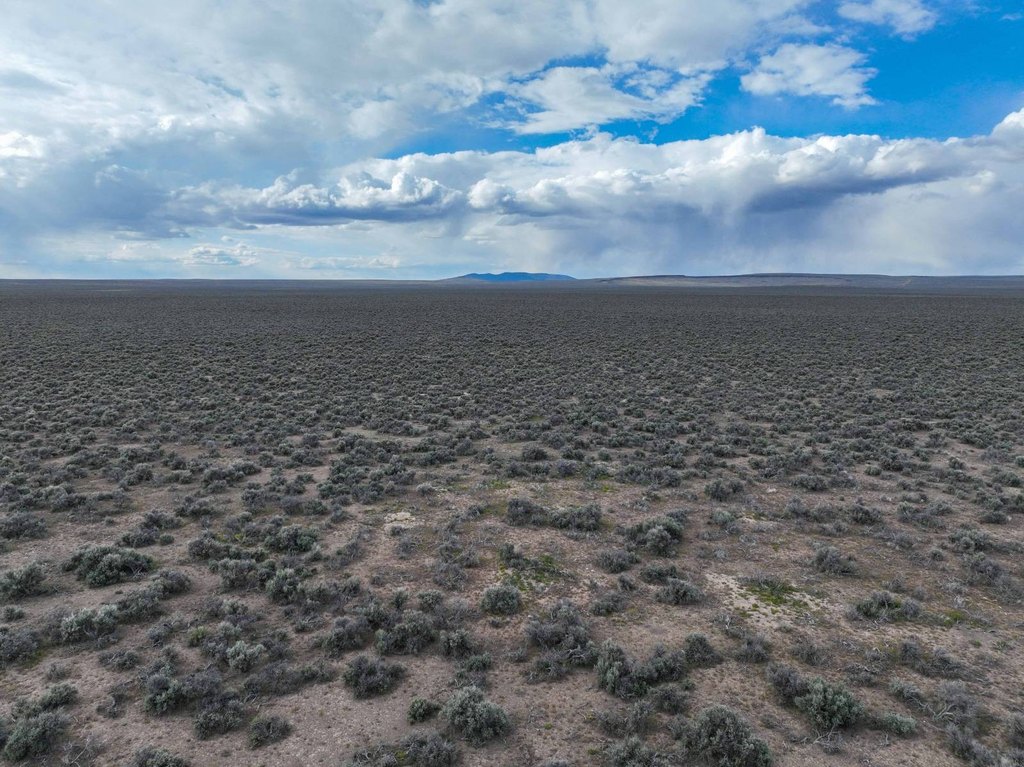
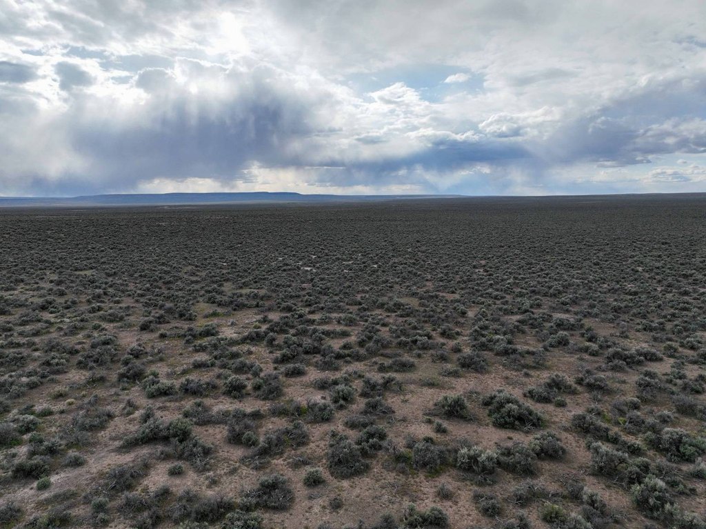
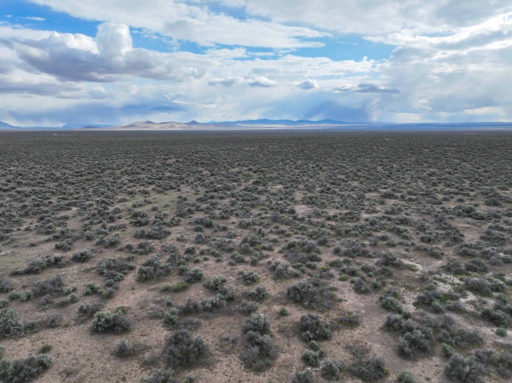
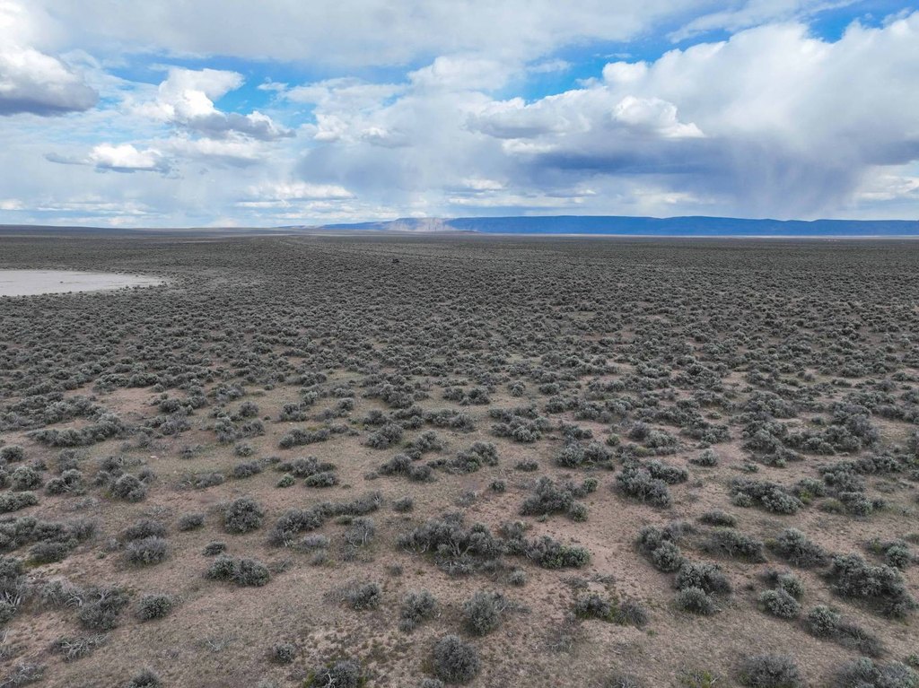
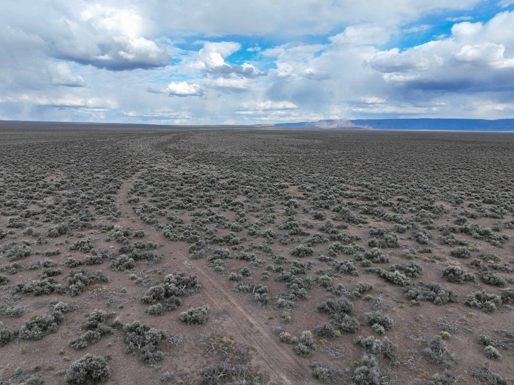
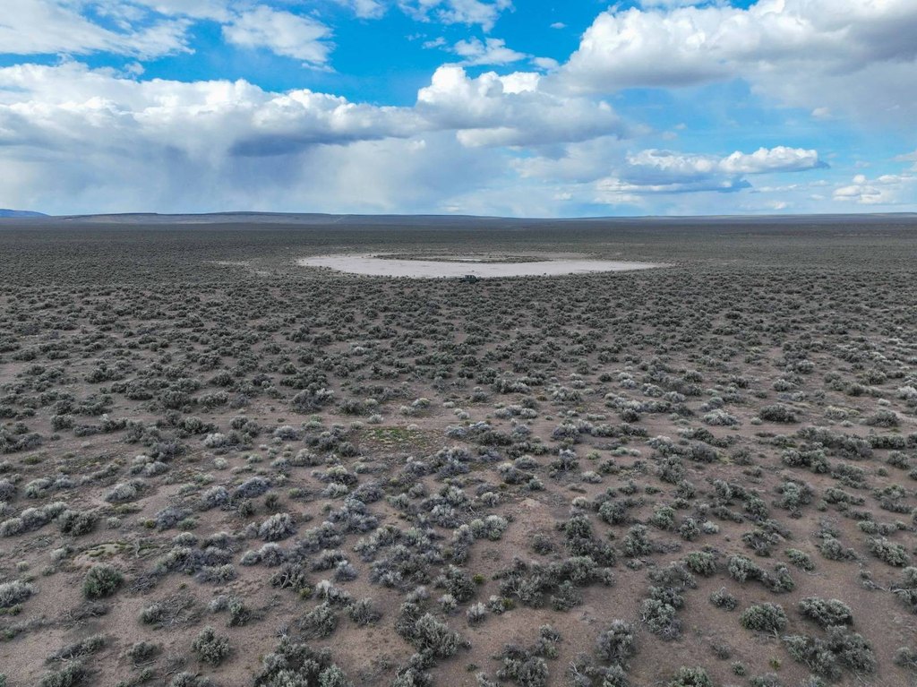
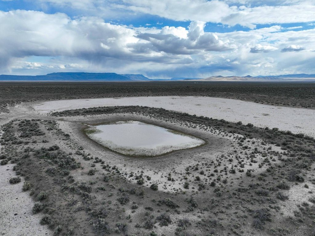
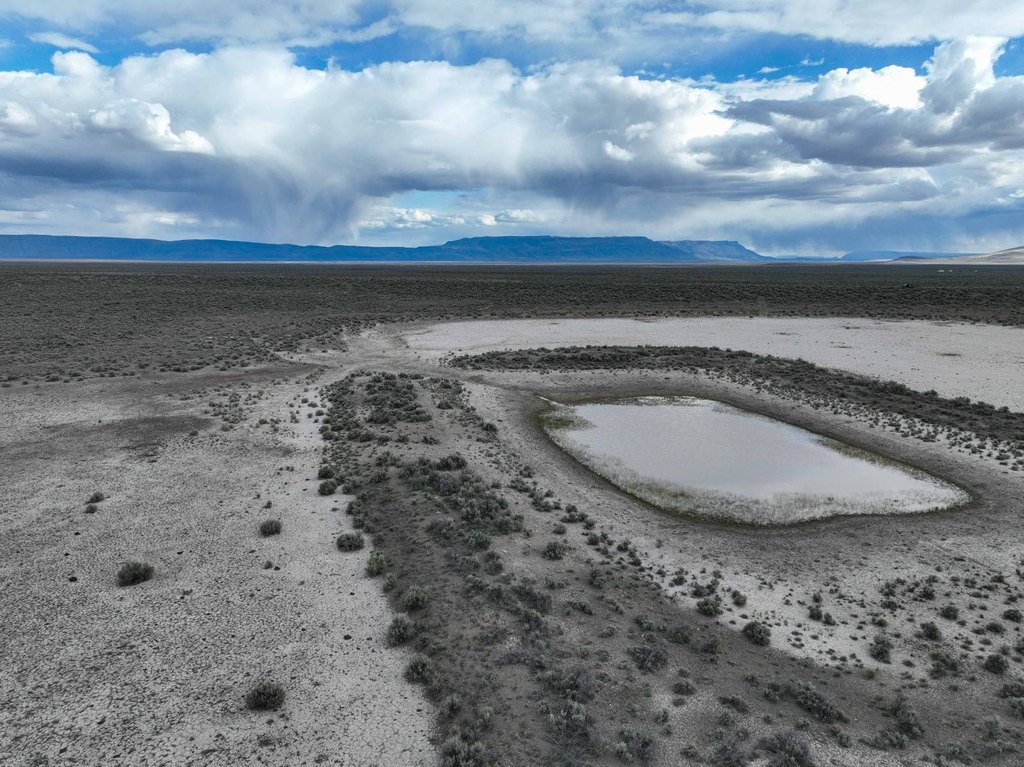
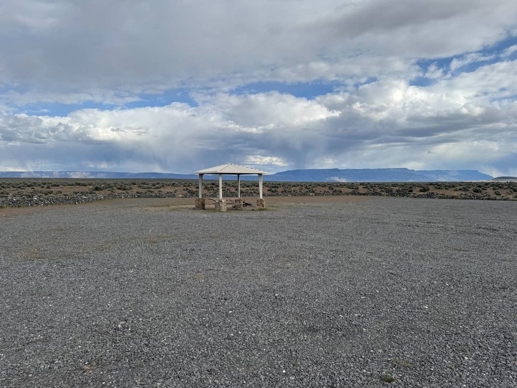
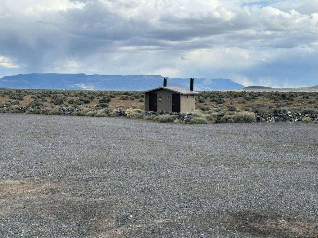
This 320-acre tax lot is a remote high-desert property covered primarily in sagebrush. It lies within Oregon’s Juniper Hunting Unit and is described as an off-grid setting with essentially zero light pollution, supporting nighttime stargazing and outdoor recreation. The property may also qualify for Landowner Preference tags, subject to applicable requirements.
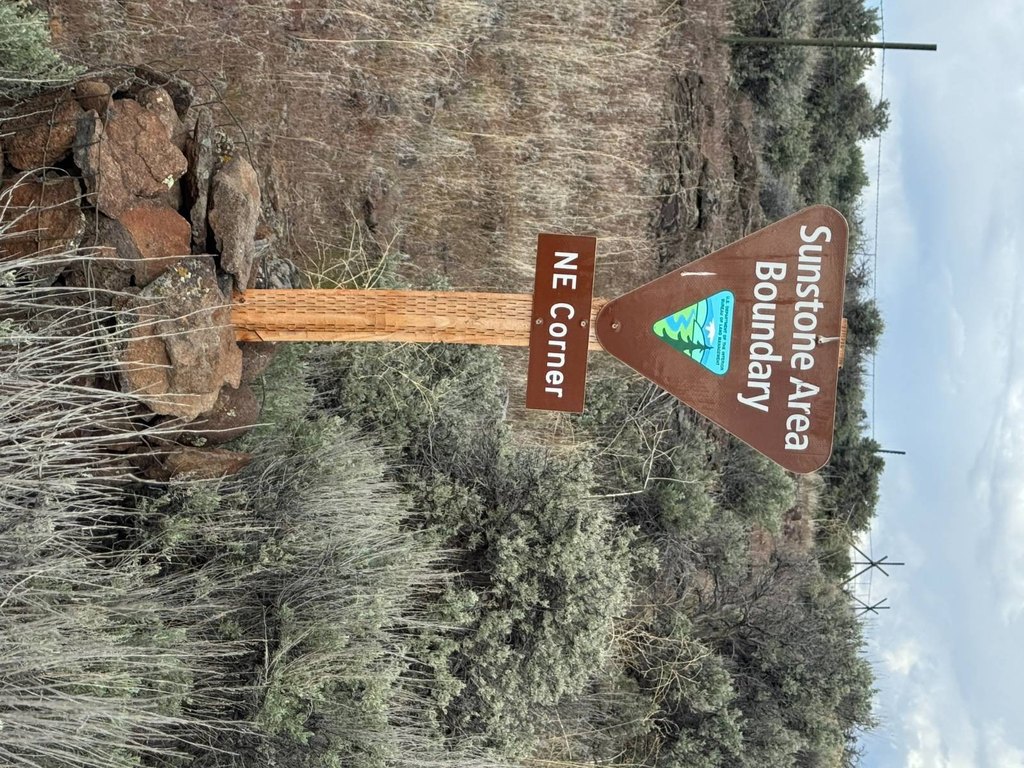
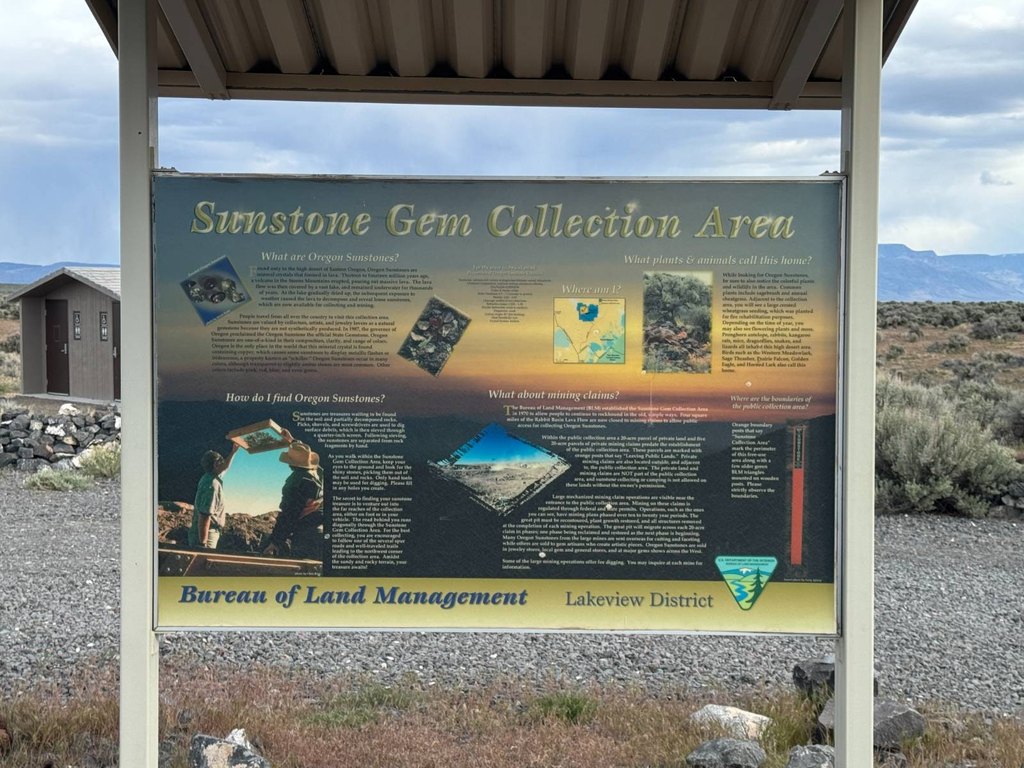
The land sits along the Harney and Lake County line, north of the Oregon Sunstone Public Collection Area. It is surrounded by hundreds of thousands of acres of open public land, placing the parcel within a broad, undeveloped recreational landscape. Buyers should independently verify access and investigate whether future construction is feasible in this rugged setting.
The land sits along the Harney and Lake County line, north of the Oregon Sunstone Public Collection Area. It is surrounded by hundreds of thousands of acres of open public land, placing the parcel within a broad, undeveloped recreational landscape. Buyers should independently verify access and investigate whether future construction is feasible in this rugged setting.
Key Highlights
- 320+/- acres in southeastern Oregon’s high desert
- Located within the Juniper Hunting Unit
- Primarily covered by high‑desert sagebrush
Property Analytics
Current Use
Location Intelligence
Demographics for 97758, OR
123
Population
58
Households
2.1
Avg Household Size
34
Median Age
36%
College-Educated
97%
High-School Grad
614.0 sq mi
ZIP Area
$2,499
Median Earnings

Questions? Ask Rey
Realmo’s AI knows this listing — price, zoning, demand, history. Ask anything.
Frequently Asked Questions
What type of property is this?
Hunting land - Remote sagebrush acreage in Oregon’s Juniper Hunting Unit provides an off-grid recreational setting.
Where is this hunting land located?
The property is located at TL 400 Hogback Road Riley, OR.
What is the asking price?
The asking price for this property is $96,000.
What are key features of this property?
This property features: 320+/- acres in southeastern Oregon’s high desert; Located within the Juniper Hunting Unit; Primarily covered by high‑desert sagebrush



