Recreation Land Parcel with
DEER HAVEN 40 AC Road Bondurant, WY 82922

DEER HAVEN 40 AC Road, Bondurant, WY, 82922
$425,000
For Sale
$425,000
LAND - Bondurant, WY
Lot Size40.00 Acres
Days on Market48
Property Features for DEER HAVEN 40 AC Road
General Information
- Property type
- Land
- Property subtype
- Other
- Pets allowed
- Yes
- Standard status
- Active
- APN
- 36120410002600
- Lot size
- 40.00 Acres
Taxes and HOA fees
- Tax Year
- 2025
- Tax Annual Amount
- 2774
Utilities
- Sewer type
- Septic Needed
Listing Agency
Keller Williams Jackson Hole
(307) 201-5231
PO Box 12783, Jackson, WY
Listed by
Melissa Harrison · License #12552
(307) 413-5846
Added: Jun 2 Checked: Jul 19 at 12:06 pm
MLS# 26-1344
Listing URL
Copyright © 2026 Teton Board of REALTORS®. All rights reserved. All information provided by the listing agent/broker is deemed reliable but is not guaranteed and should be independently verified.
Investment Insights
Based on property information with market context.
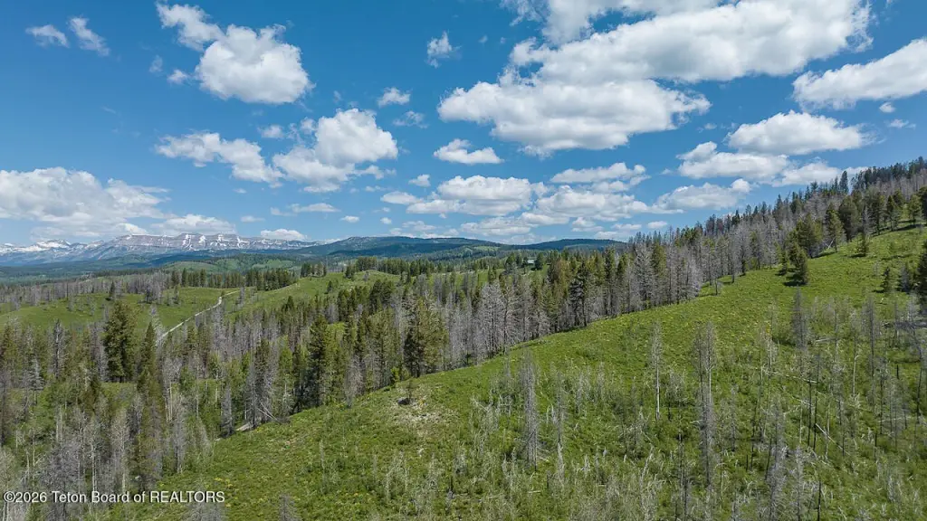
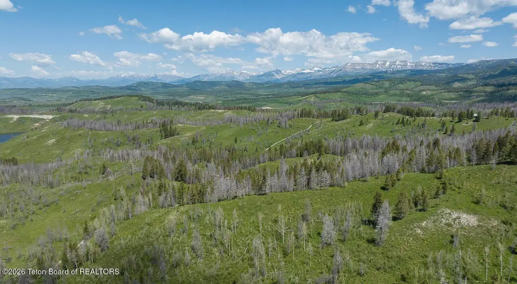
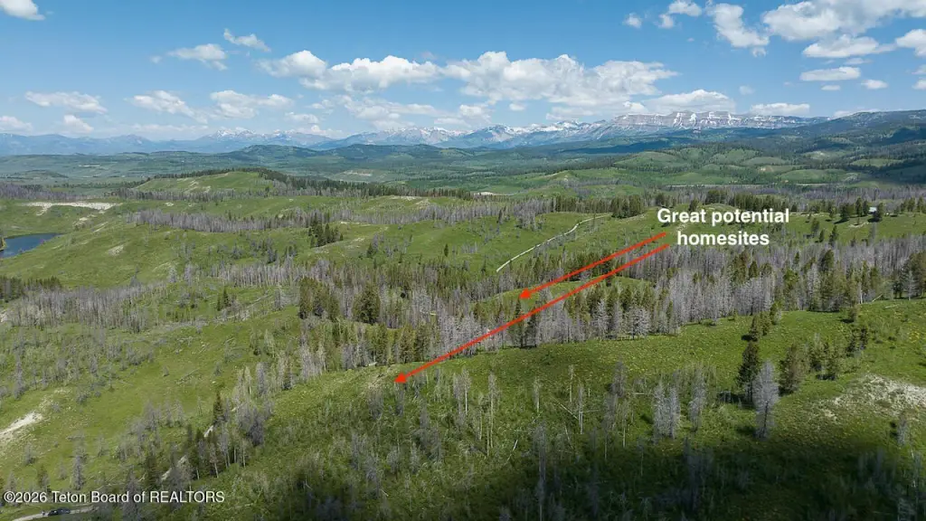
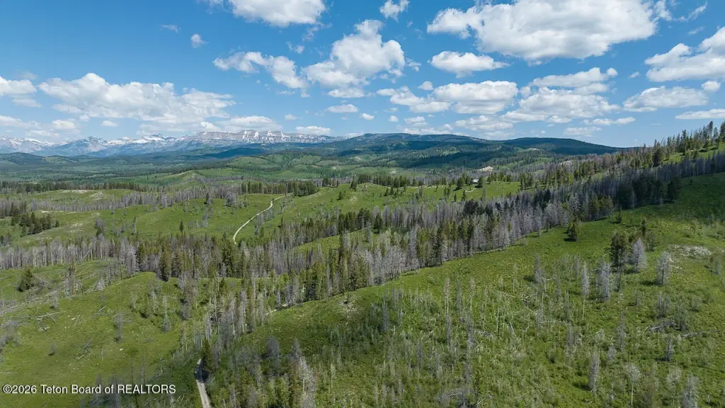
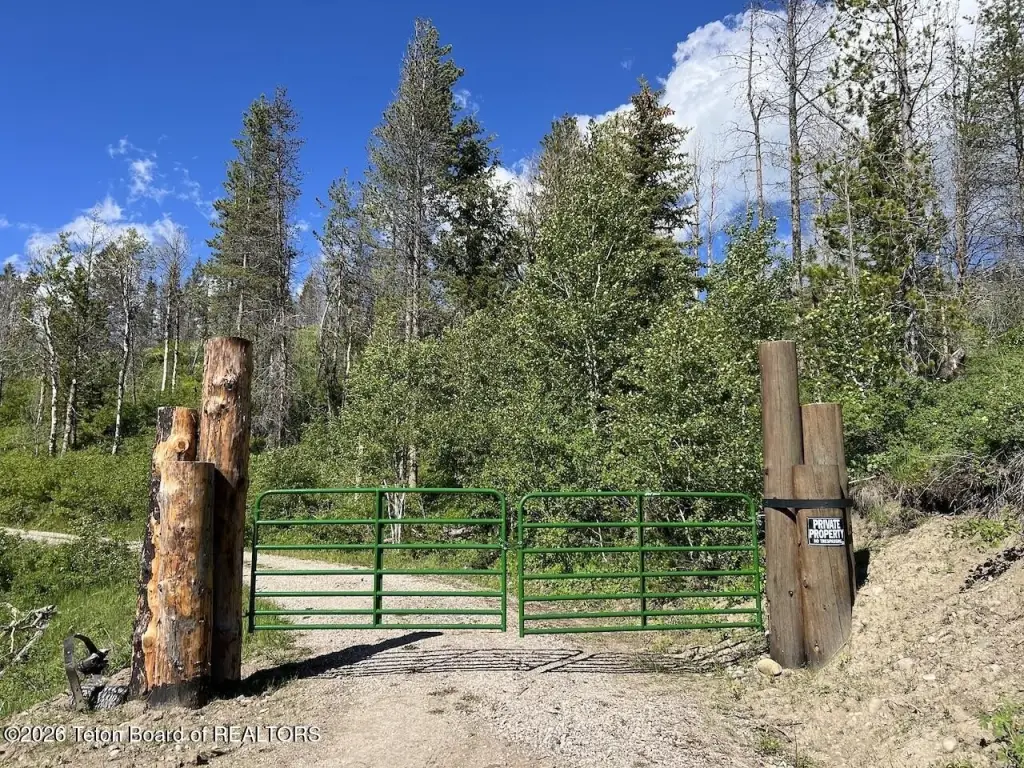
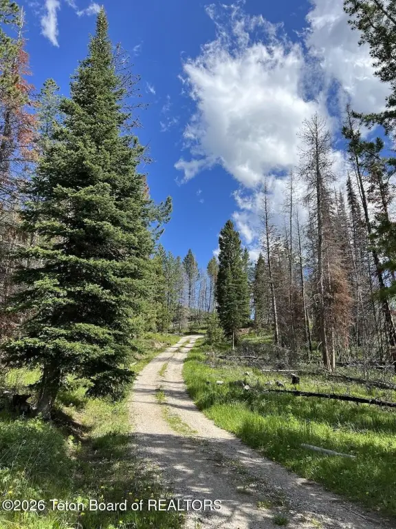
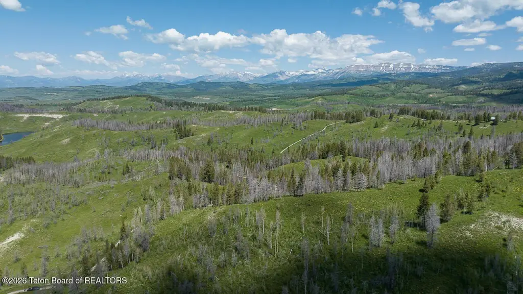
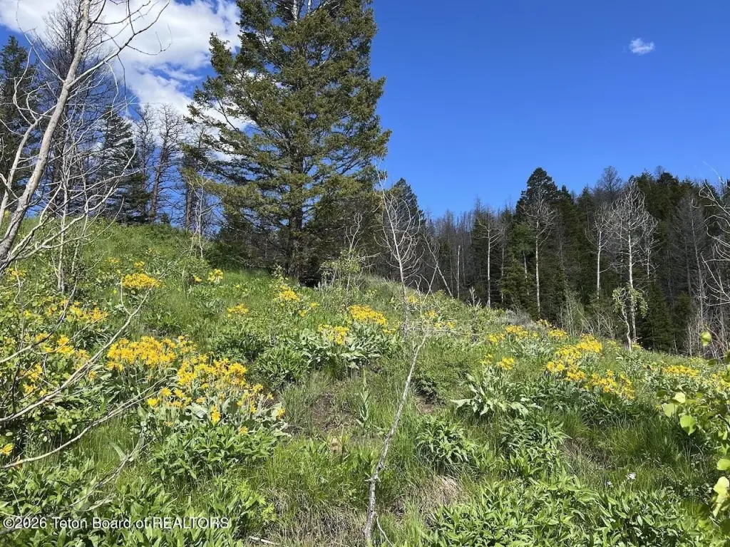
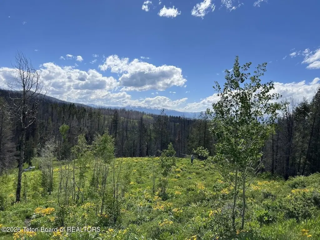
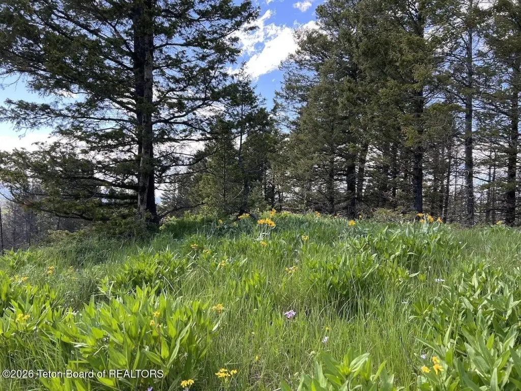
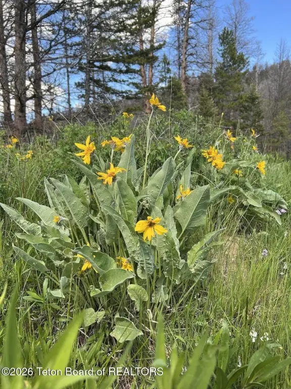
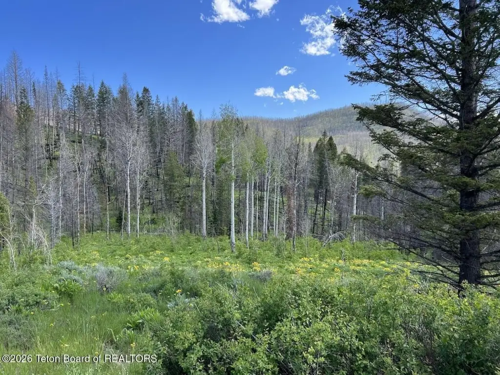
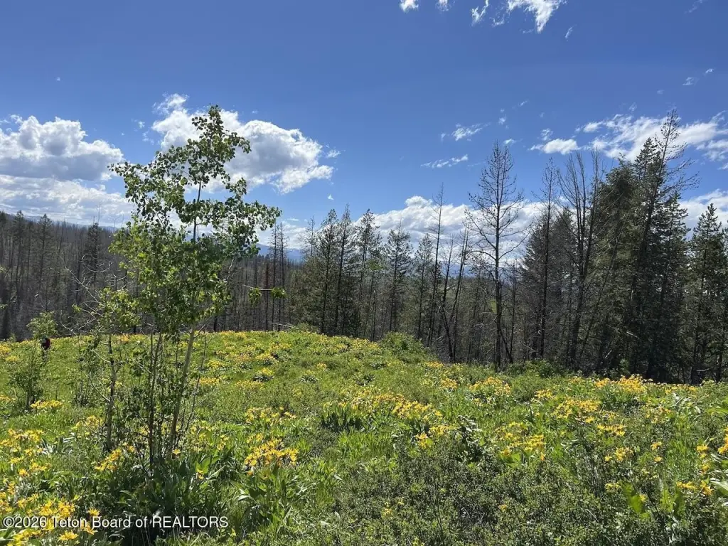
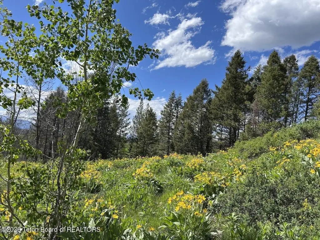
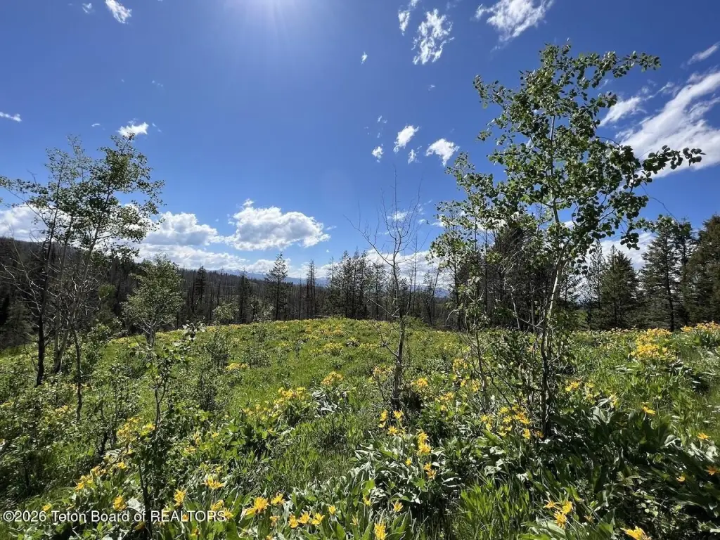
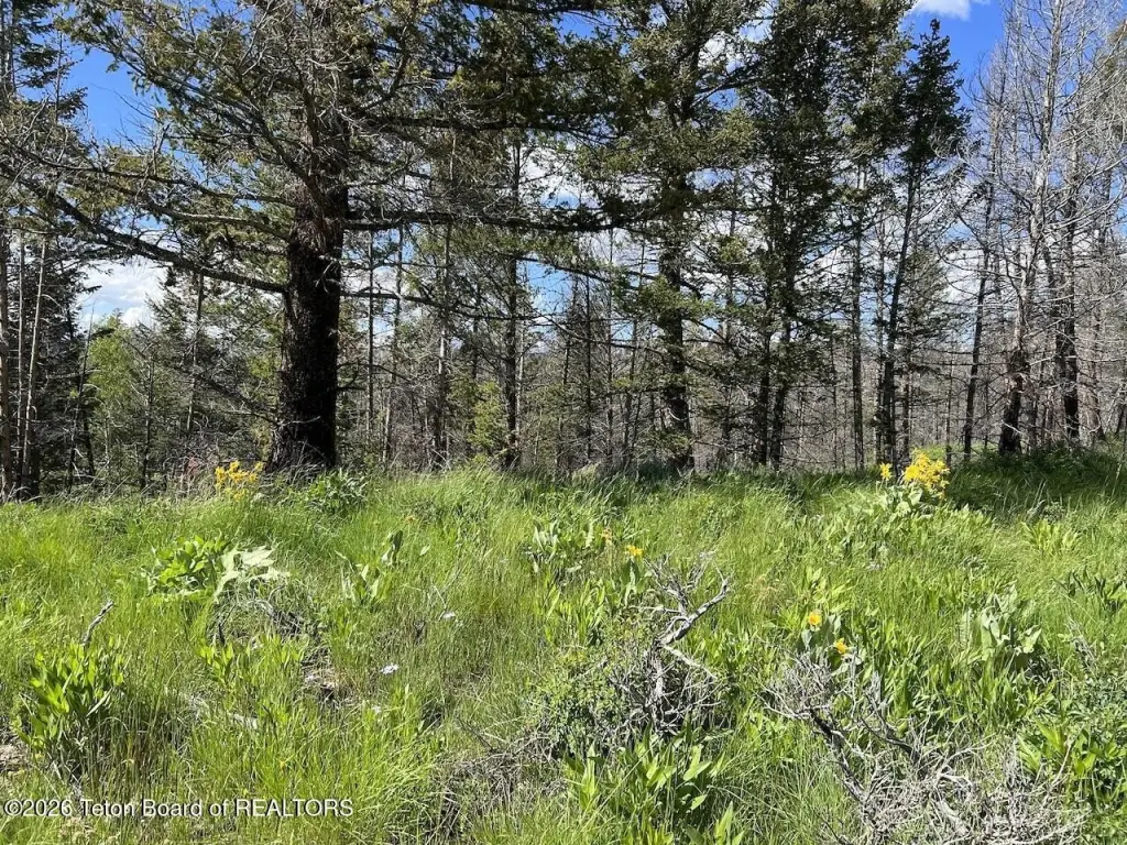
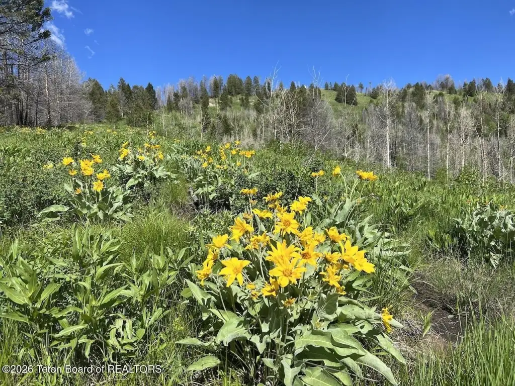
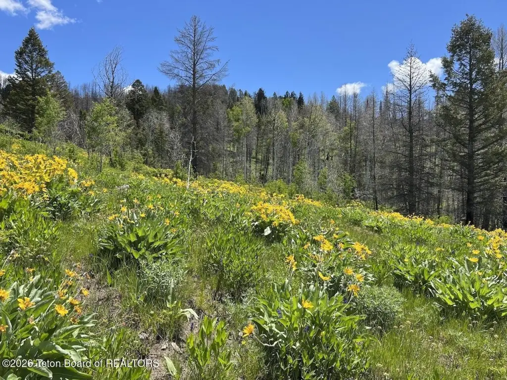
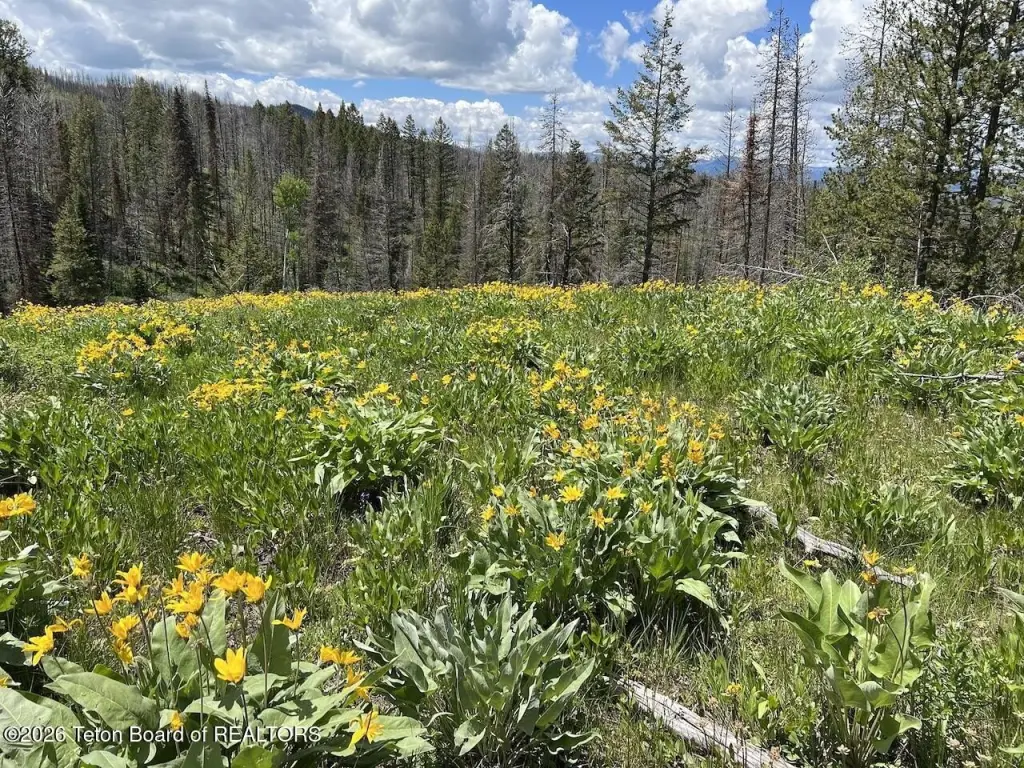
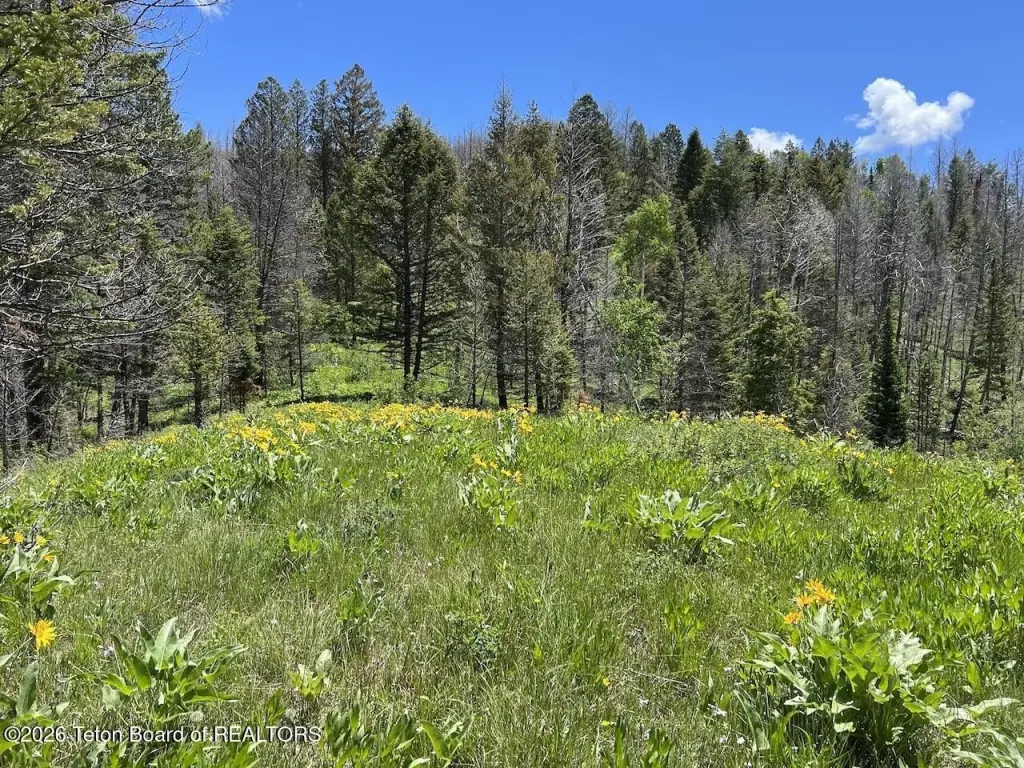
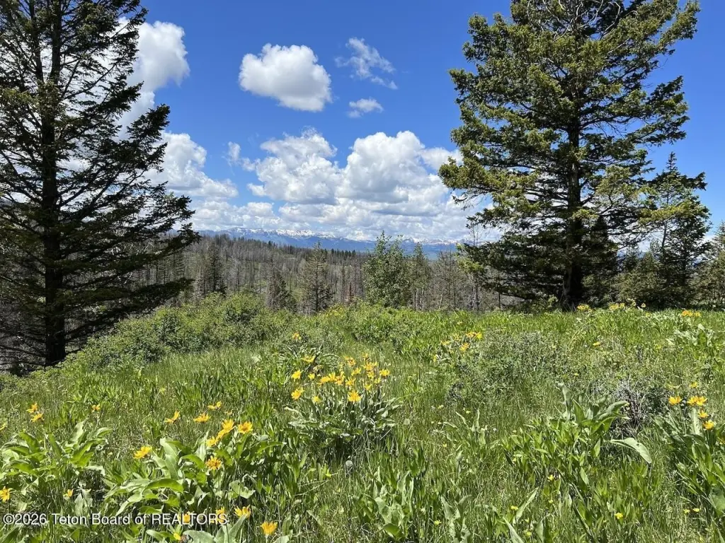
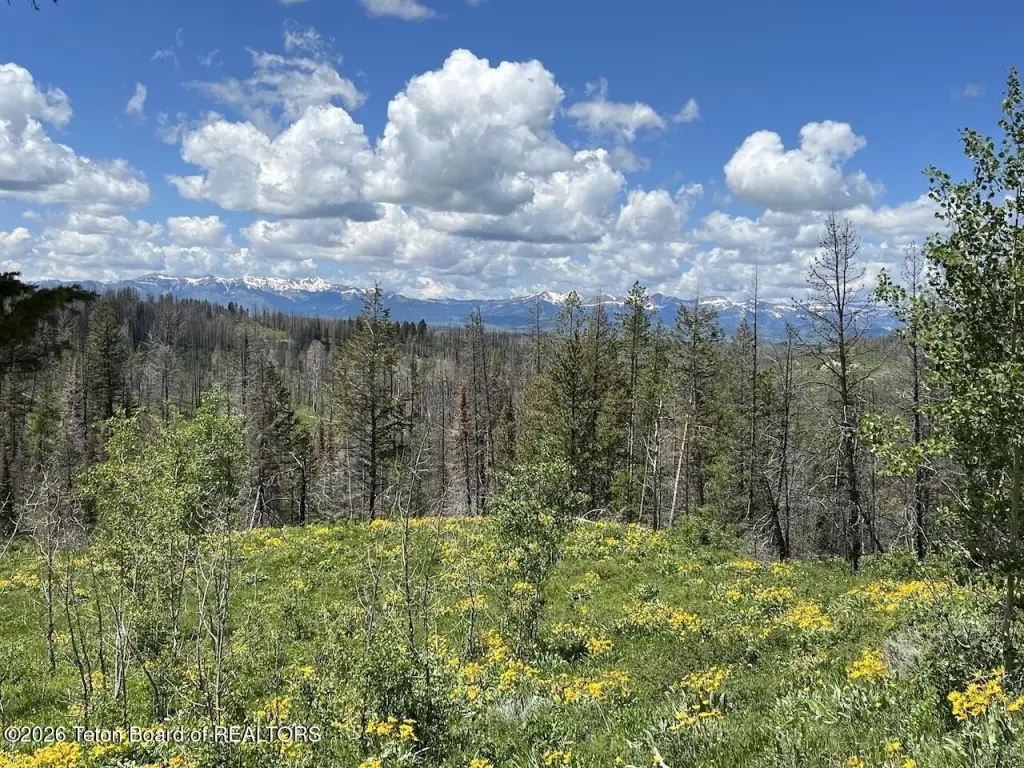
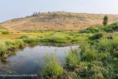
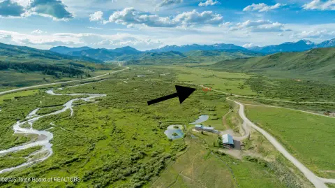
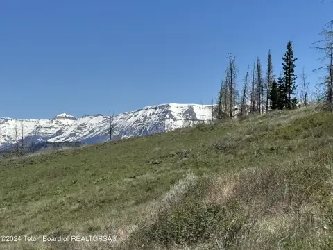
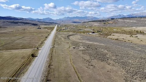
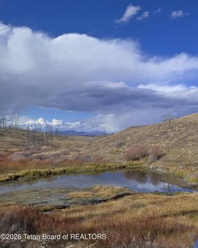
Set on approximately 40 acres, this recreation and hunting land offering is defined by elevated views of the Wyoming Range and Gros Ventre Mountains. The property features a mix of aspens and Douglas fir, open meadows, and a natural spring, creating a varied landscape for outdoor use throughout the year.
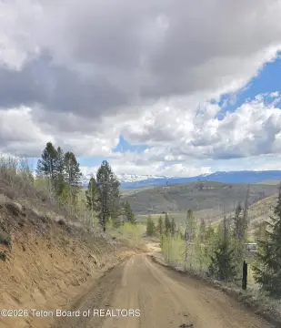
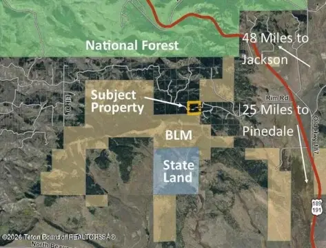
A corner of the parcel borders public land, providing a pathway to an expansive area of public holdings and the Bridger-Teton National Forest beyond. Wildlife is frequently seen in the area, including elk, moose, and deer. Access is positioned as roughly one hour from both Jackson Hole and Pinedale, while winter access is available over snow.
This land is well-suited for buyers seeking privacy and recreation space, whether for hunting, fishing, horseback riding, hiking, or snowmobiling, or for those who simply want quiet, open surroundings. The 40-acre tract may be subdivided into parcels as small as 10 acres, and two adjacent seller-owned parcels may become available in the future for those looking to add more acreage.
Key Highlights
- 40‑acre Hoback Ranches parcel with elevated views of the Wyoming Range and Gros Ventre Mountains
- Natural spring on‑site plus a mix of aspens, Douglas fir, and open meadows
- Corner borders public land for access to surrounding public lands and Bridger‑Teton National Forest
Property Analytics
Property Profile
Location Intelligence
Current Use by Public Records
Hunting land
Similar For Sale Nearby
FAQs
What type of property is this?
Hunting land - A private 40-acre parcel with elevated mountain views, a natural spring, and access to surrounding public lands.
Where is this hunting land located?
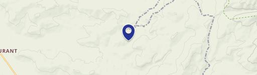
The property is located at DEER HAVEN 40 AC Road Bondurant, WY.
What is the asking price?
The asking price for this property is $425,000.
What are key features of this property?
This property features: 40‑acre Hoback Ranches parcel with elevated views of the Wyoming Range and Gros Ventre Mountains; Natural spring on‑site plus a mix of aspens, Douglas fir, and open meadows; Corner borders public land for access to surrounding public lands and Bridger‑Teton National Forest