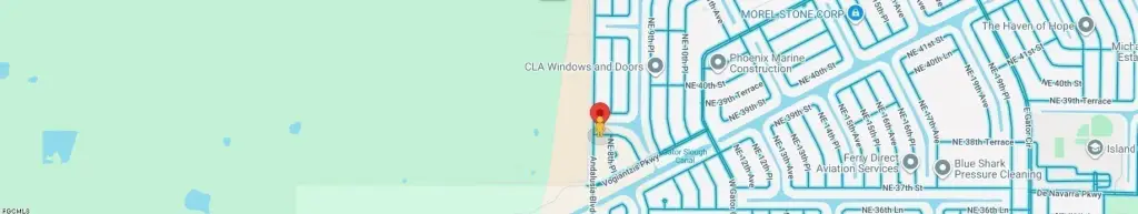
3819 Andalusia Boulevard, Cape Coral, FL 33909
- Added:
- Jun 27, 2026
- Days on Market:
- 2
- Last Refresh:
- Jun 28 at 10:06 am
Property Features for 3819 Andalusia Boulevard
General Information
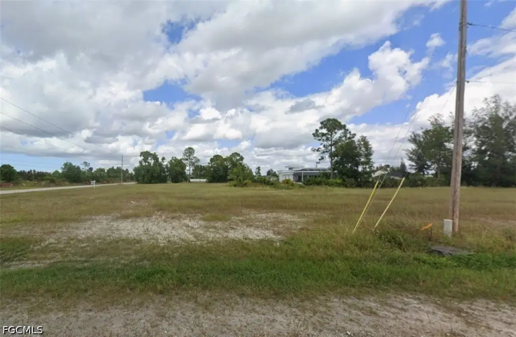
- Property type
- Land
- Property subtype
- Other
- Vegetation
- Grassed
- Standard status
- Active
- APN
- 18-43-24-C4-05682.0260
- Lot size
- 0.30 Acres
Taxes and HOA fees
- Tax Year
- 2025
- Tax Description
- CAPE CORAL UNIT 87 BLK 5682 PB 24 PG 74 LOT 26
- Tax Annual Amount
- 1181
Utilities
- Water front features
- Canal Access, Seawall
- Water front
- 1

Listing agent Mike Lombardo License #896013680 (239) 898-3445
Listing office Old Glory Realty 12620 Eagle Rd., Cape Coral, FL (239) 966-5092
Listing date Jun 27, 2026
Copyright © 2026 Florida Gulf Coast Multiple Listing Service, Inc. All rights reserved. All information provided by the listing agent/broker is deemed reliable but is not guaranteed and should be independently verified.
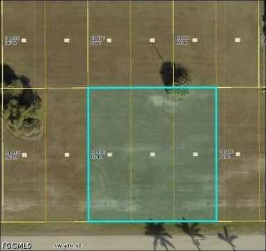
HighLights
- Nearly a full acre of contiguous waterfront via 3 adjoining parcels offered together
- Includes seawall already in place on freshwater canal frontage
- Parcels included: 801 NE 38th Ter, 807 NE 38th Ter, and 3819 Andalusia Blvd
- Flood Zone X (no flood insurance required as stated in remarks)
- Waterfront features include canal access and a seawall
- Offered together as an assemblage for building one estate or multiple homes
Overview
The parcels are 801 NE 38th Ter, 807 NE 38th Ter, and 3819 Andalusia Boulevard. Together, they create a larger, contiguous waterfront footprint, positioned in Flood Zone X as described in the listing remarks. The seller notes that this Flood Zone X classification means no flood insurance is required, and that there are no assessments due.
For buyers, this configuration is well-suited to anyone looking for more than a single standard lot, while still keeping the waterfront improvements (seawalls) already addressed. Whether your goal is building one larger estate-style residence or developing multiple homes across the assemblage, the combined parcel arrangement is designed to simplify ownership of contiguous canal frontage within the same Flood Zone X designation.
Current Use by Public Records
Location Insight
- Map
- Local Demand
- City
- Cape Coral
- County
- Lee
- State
- Florida
- Longitude
- -81.956815
- Latitude
- 26.729453