Multi-Tract Iowa
380th Street, Gowrie, IA 50543
For Sale
Contact for pricing
Land, Gowrie, IA
Property SizeContact for details
Lot Size39.00 Acres
Days on Market13
Property Features for 380th Street
General Information
Property type
Property subtype
Zoning
Elementary school district
Middle school district
High school district
Directions
Subdivision
Standard status
Lot size
Taxes and HOA fees
Tax Annual Amount
Listing Agency:
Whitaker Marketing Group
Listed By:
David & Ann Whitaker · License IA B61078
(515) 460-8585
Added: Nov 10
Changed: Nov 22
Last Checked: Nov 22 at 5:06PM
MLS# 71841
Copyright © 2026 Central Iowa Board of Realtors, Inc. All rights reserved. All information provided by the listing agent/broker is deemed reliable but is not guaranteed and should be independently verified.

Ask AI about this property
Review the available facts, identify missing information and prepare questions for the agent.
Investment Insights
Based on property information with market context.
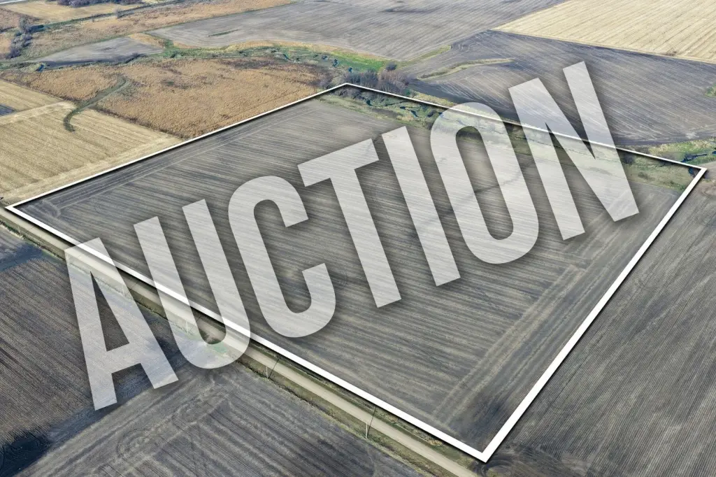
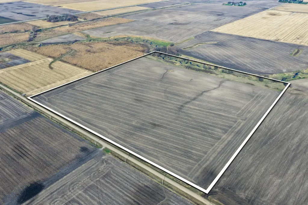
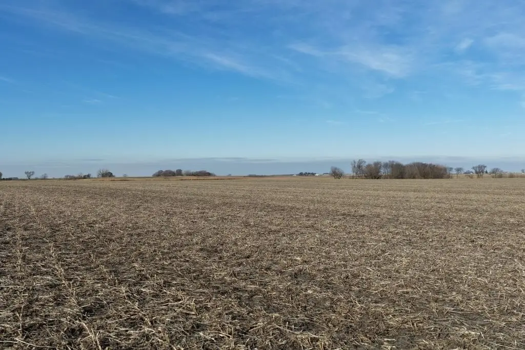
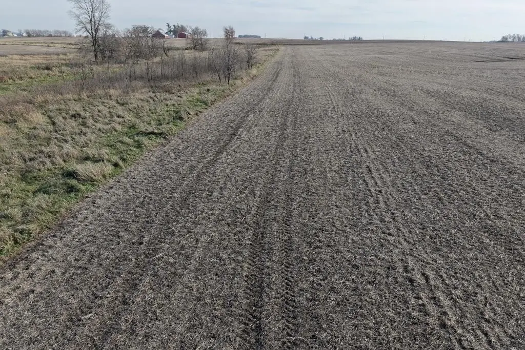
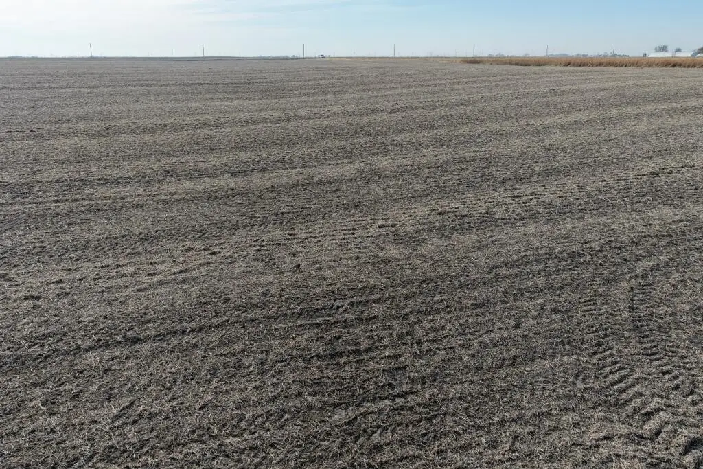
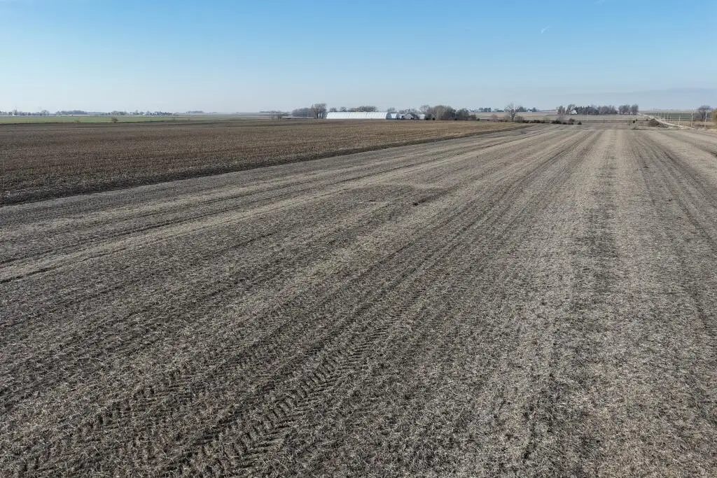
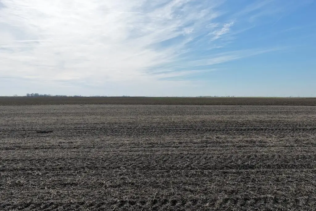
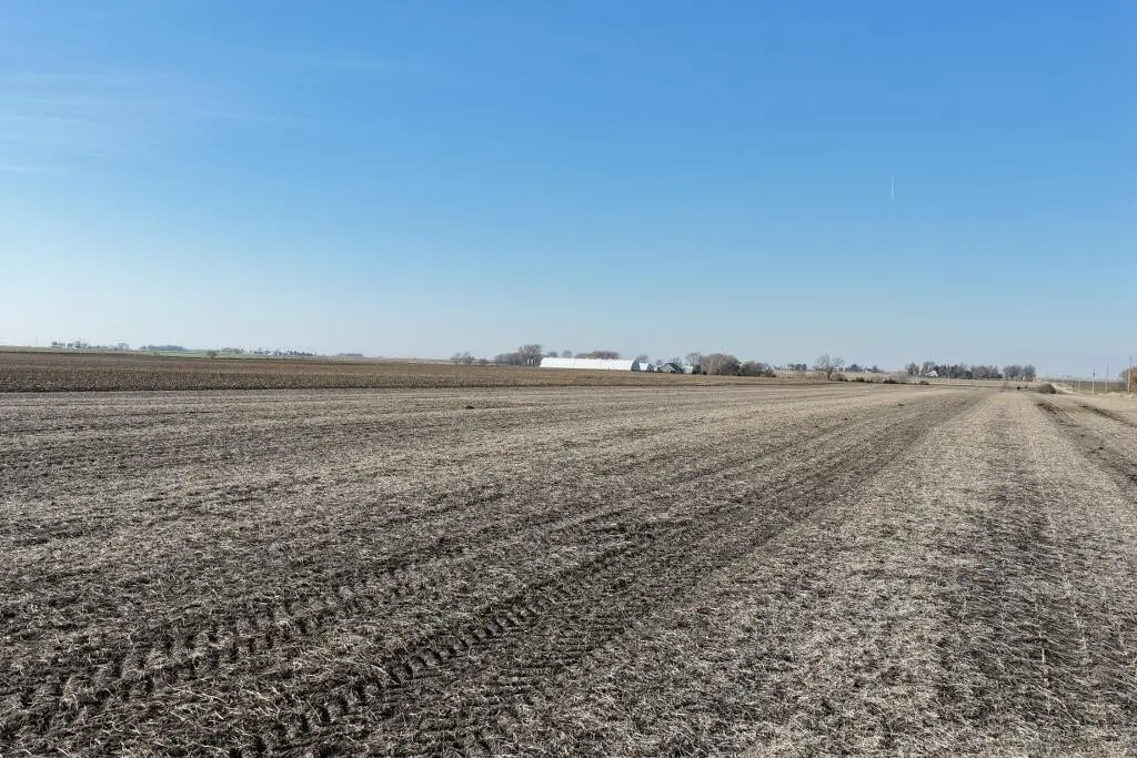
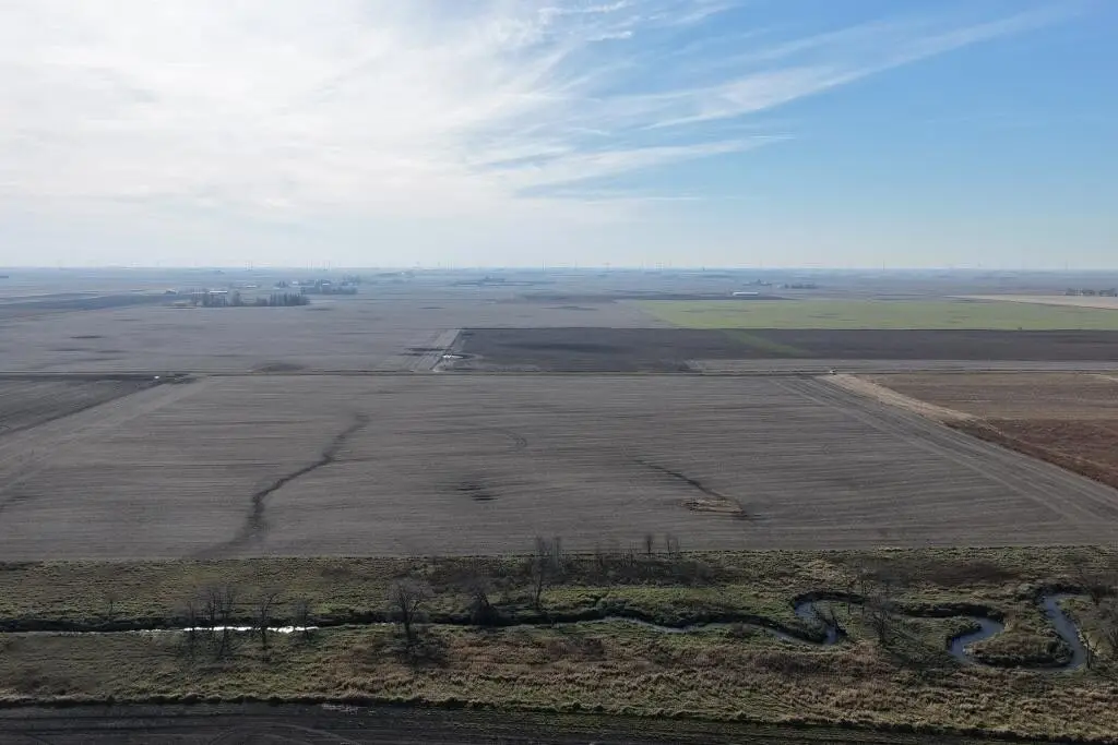
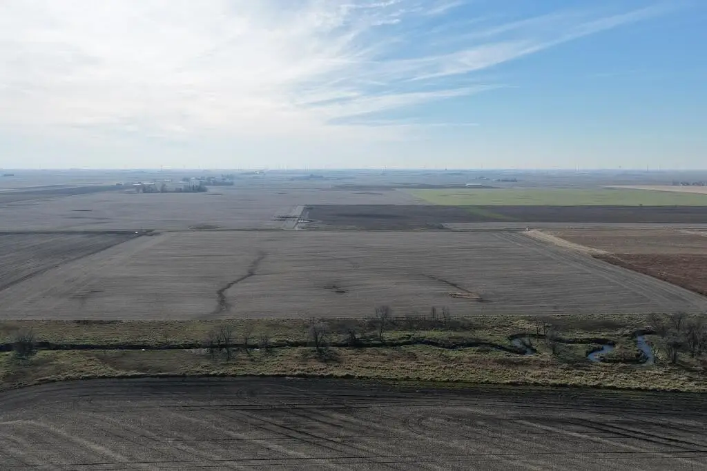
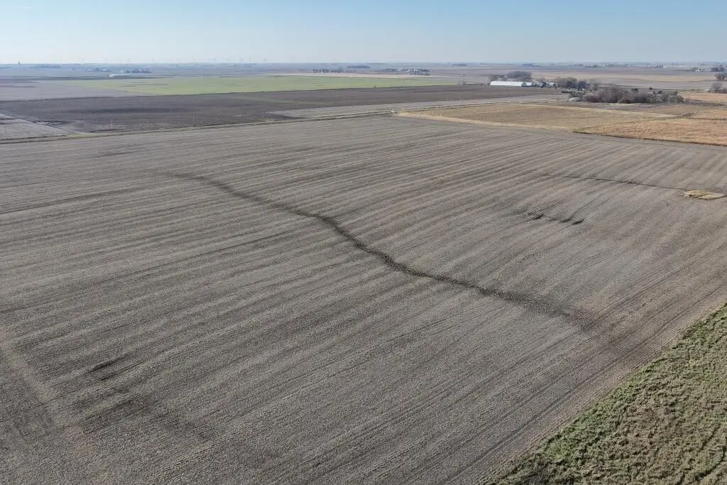
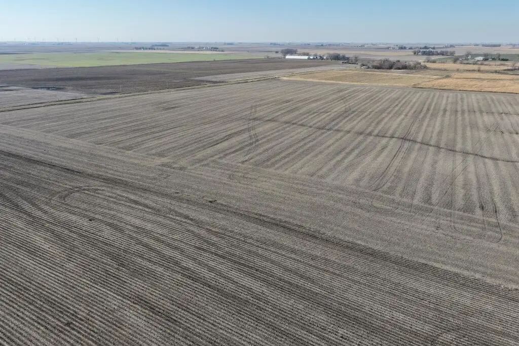
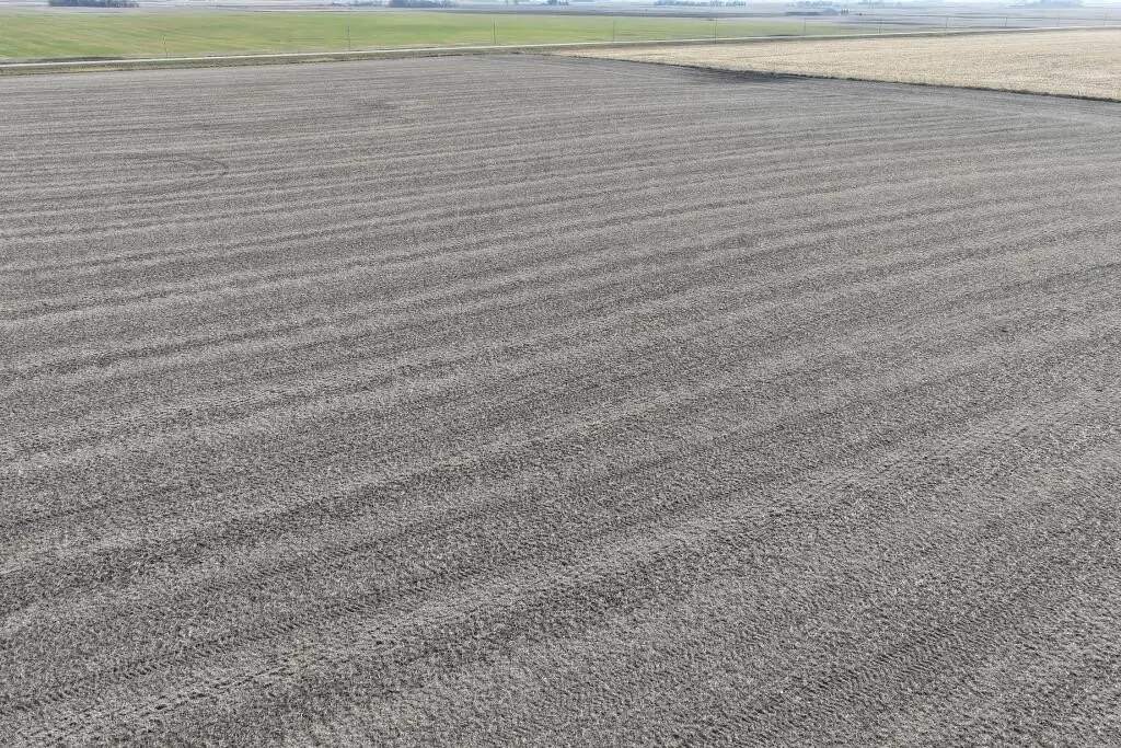
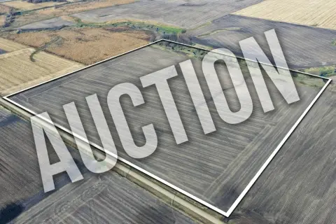
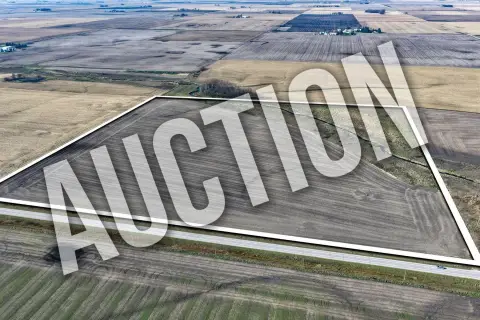
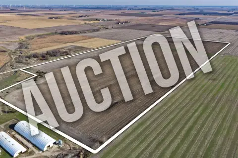
Three agricultural tracts near Gowrie, Iowa, comprise 158.87 gross acres, including 143.18 tillable acres. The parcels measure 38.28, 81.59, and 39 acres, respectively, and all are zoned Ag. Average CSR is 82.8, with individual tract ratings of 76.5, 85.4, and 86.7.
The farms will be available for the 2027 crop season. The buyer is entitled to the 2027 CRP payment. The property is in the Southeast Valley Community School District and is located on 380th Street.
The farms will be available for the 2027 crop season. The buyer is entitled to the 2027 CRP payment. The property is in the Southeast Valley Community School District and is located on 380th Street.
Key Highlights
- 158.87 gross acres across three tracts
- 143.18 tillable acres in total
- Average CSR of 82.8; tract ratings are 76.5, 85.4, and 86.7
Property Analytics
Who owns this building?
See the owner, sales and loan history
Open Analytics
Current Use
Location Intelligence
Trade Area within ½ mile
1
Businesses Nearby
Improve property use
Find place for business
Demographics for 50543, IA
1,359
Population
659
Households
2.1
Avg Household Size
43
Median Age
30%
College-Educated
99%
High-School Grad
79.2 sq mi
ZIP Area
17
Density / Sq Mi
Median Household Income
Median Earnings
Median Rent
Median Home Value
Check the figures for this property
Cap Rate, Value Estimation, Potential NOI and more
View Realmo Analytics



Frequently Asked Questions
What type of property is this?
Agricultural land / Farmland - Three separate parcels offer a mix of tillable ground and agricultural zoning.
Where is this agricultural land / farmland located?
The property is located at 380th Street Gowrie, IA.
What are key features of this property?
This property features: 158.87 gross acres across three tracts; 143.18 tillable acres in total; Average CSR of 82.8; tract ratings are 76.5, 85.4, and 86.7