36999 141st Lane, Montgomery, MN 56069
- Added:
- Jan 14, 2026
- Days on Market:
- 160
- Last Refresh:
- Jun 23 at 7:06 pm
Property Features for 36999 141st Lane
General Information
- Property type
- Land
- Property subtype
- Other
- Zoning
- Agriculture,Lot,Residential-Single Family
- Standard status
- Active
- APN
- TBD
- Lot size
- 199.93 Acres
Taxes and HOA fees
- Tax Year
- 2025
- Tax Annual Amount
- 2424.21
Building Details
- Architectural style
- Other
Listing agent Lane M Hansen (952) 261-9423
Listing office Longhouse Realty 1597 MN-7, Bloomington, MN (952) 228-1049
Listing date Jan 14, 2026
Copyright © 2026 Northstar MLS. All rights reserved. All information provided by the listing agent/broker is deemed reliable but is not guaranteed and should be independently verified.
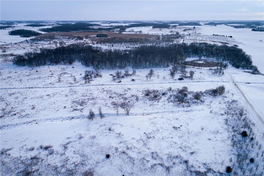
HighLights
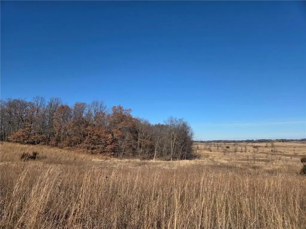
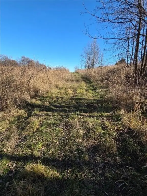
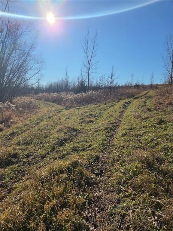
- 199‑acre recreational property offering rare privacy.
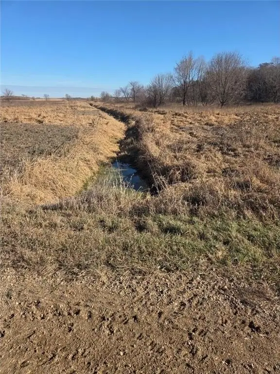
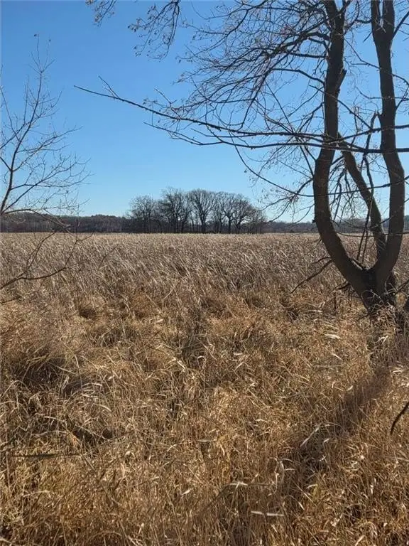
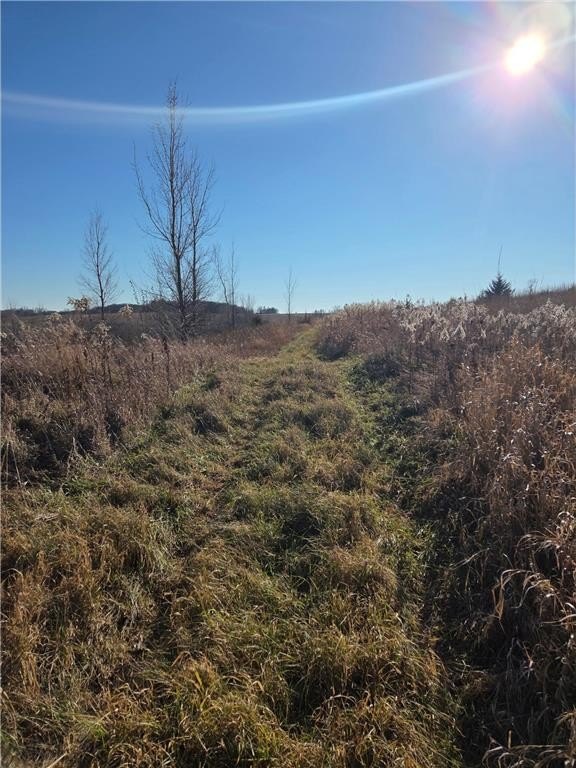
- Approximately 137 acres protected by a permanent Minnesota RIM easement, preserving wetlands and grasslands.
- Unrestricted ~62 acres provide full flexibility for building a home, cabin, or outbuildings.
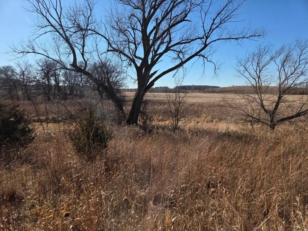
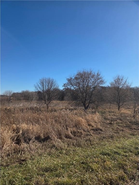
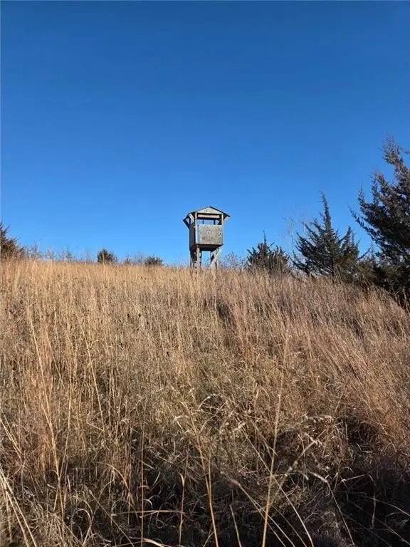
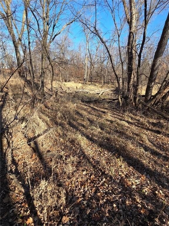
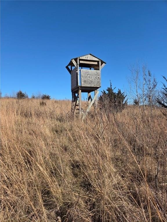
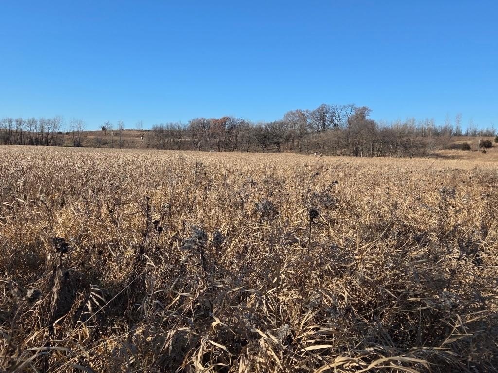
- Diverse terrain supports year‑round deer, turkey, pheasants, and other wildlife.
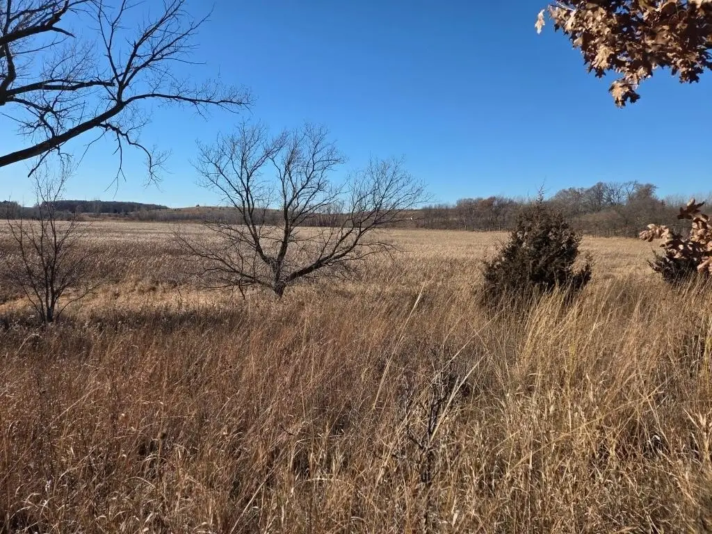
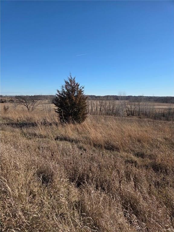
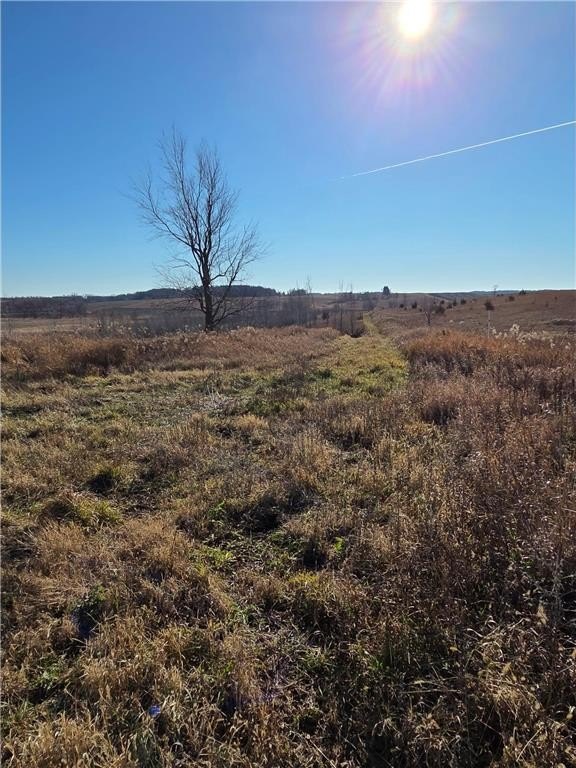
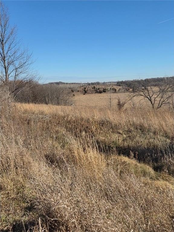
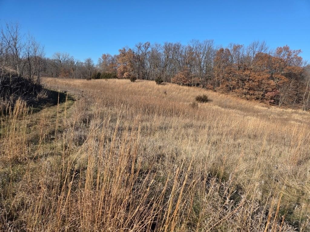
- Elevated building site with panoramic views overlooking 50+ acres of wetlands, prairie grass ridges, plum thickets, and oak savanna.
- Conveniently located 3 miles from Montgomery amenities and 40 miles south of Minneapolis.
Overview
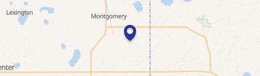
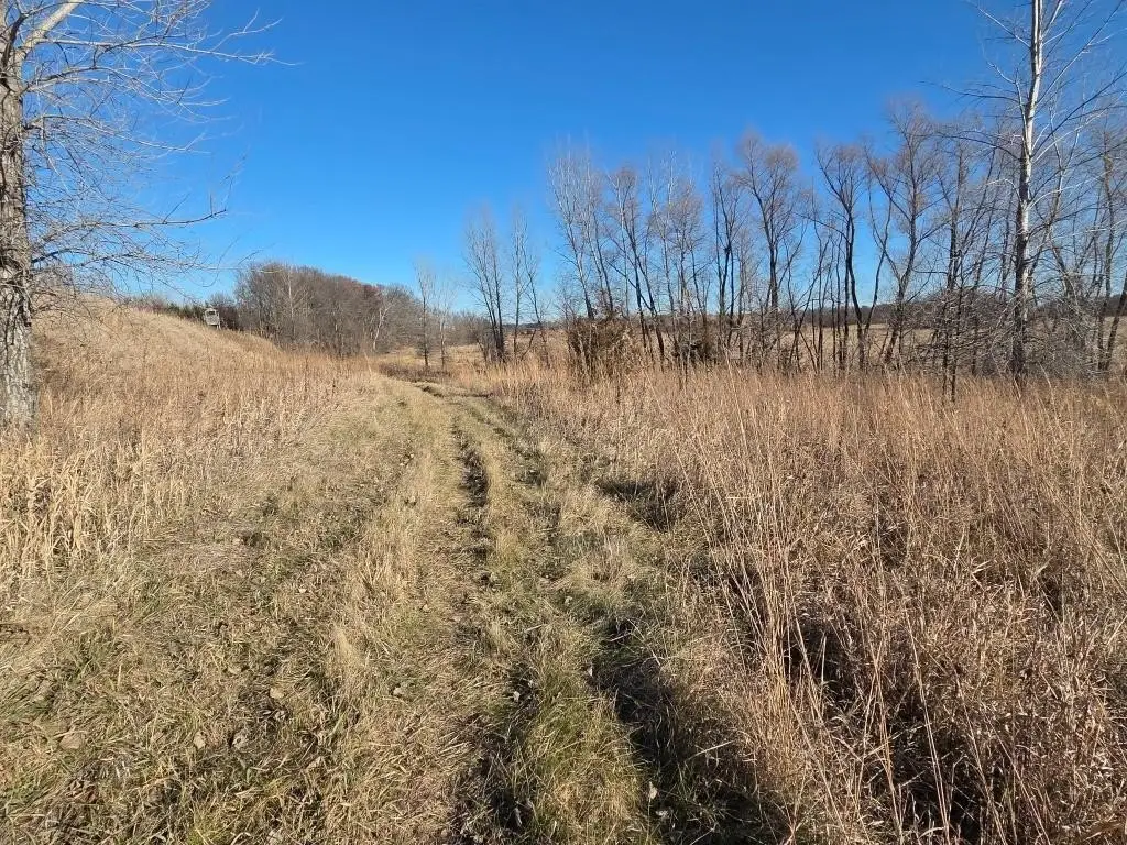
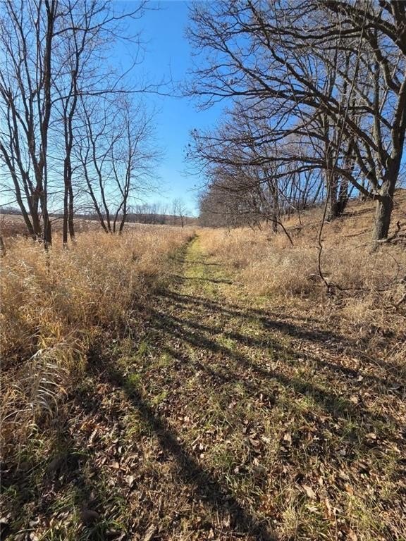
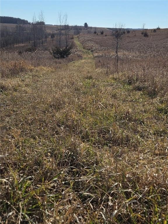
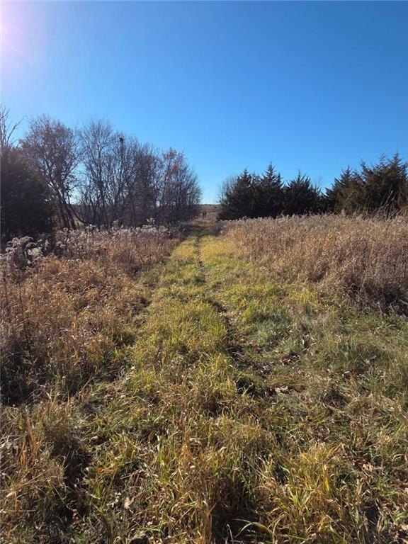
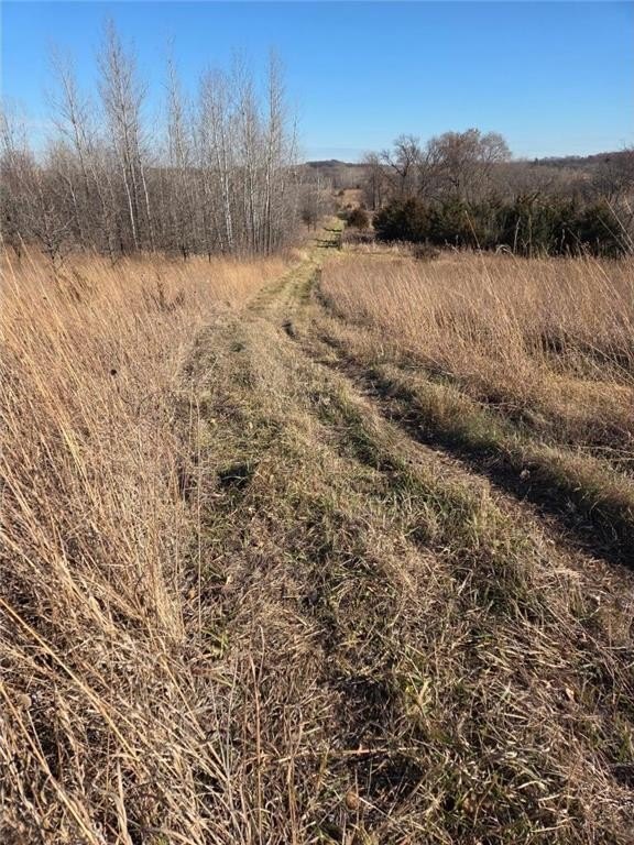
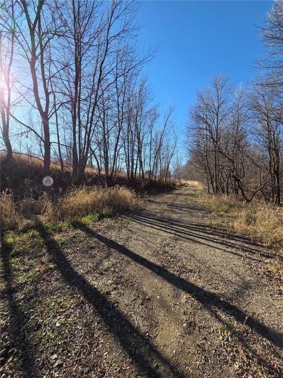
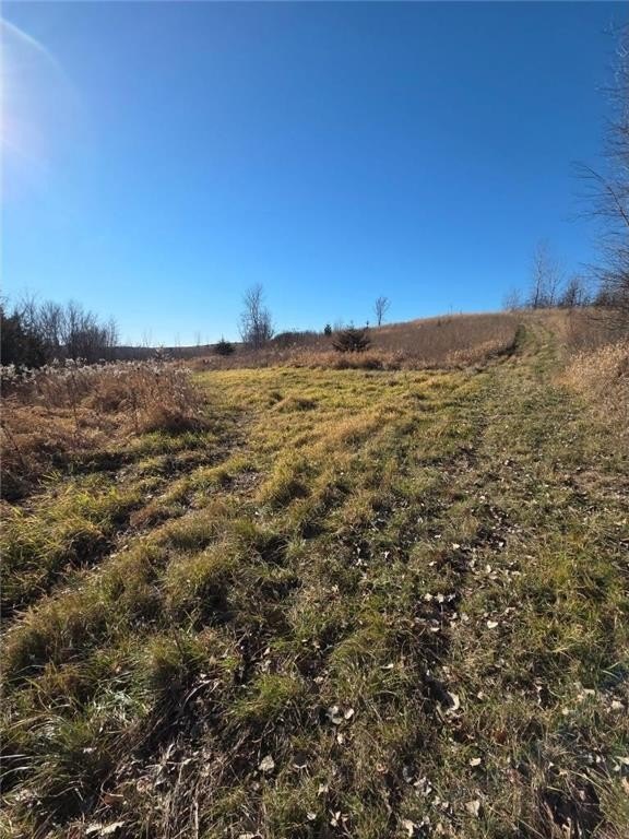
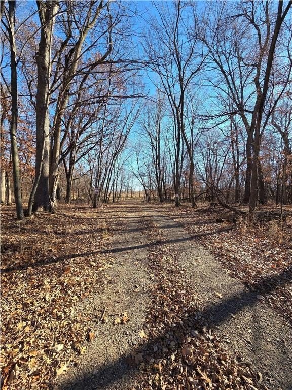
The property is accessed from the end of a dead-end road at 141st Lane near Montgomery, Minnesota. The remarks describe panoramic views from the building site over 50+ acres of wetlands and surrounding habitat features. Nearby high ground includes young oaks, plums, and native grasses, supporting year-round use by wildlife. The property is located about 3 miles southeast of Montgomery for amenities and approximately 40 miles south of Minneapolis.
With conservation-protected wetlands and a mix of open and wooded cover, the land is suited for buyers seeking a private setting for hunting and seasonal recreation. The combination of multiple building sites and an accessible, graveled approach supports use as a weekend retreat or residential escape, while the RIM easement aligns wetland and habitat preservation with allowed activities such as mowing and food plots.
Current Use by Public Records
Map
- City
- Montgomery
- County
- Le Sueur
- State
- Minnesota
- Longitude
- -93.5421058
- Latitude
- 44.412518