TBD S 363 Road, El Dorado Springs, MO 64744
Vacant acreage with diverse hunting cover, outbuildings, and utilities at the road for a secluded build site.
- Added:
- Jun 19, 2026
- Days on Market:
- 9
- Last Refresh:
- Jun 24 at 3:37 am
Property Features for TBD S 363 Road
General Information
- Standard status
- Active
- Lot size
- 43.00 Acres
- Property subtype
- Land
Listing office United Country American Heartl
Listing date Jun 19, 2026
Source Crexi
Displayed information is deemed reliable but is not guaranteed and should be independently verified.
All listing content including descriptions, pricing, images are the copyrighted material of United Country American Heartl
HighLights
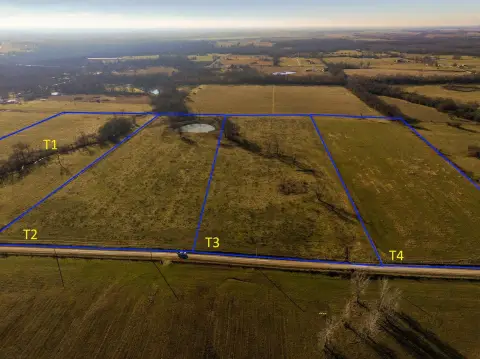
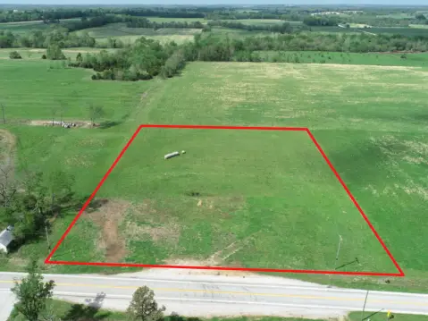
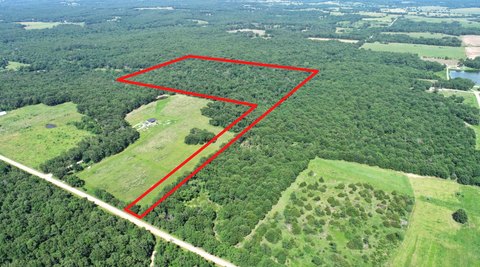
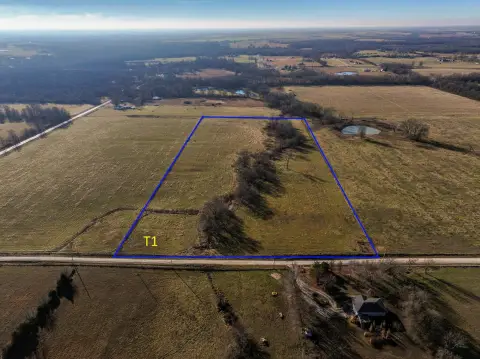
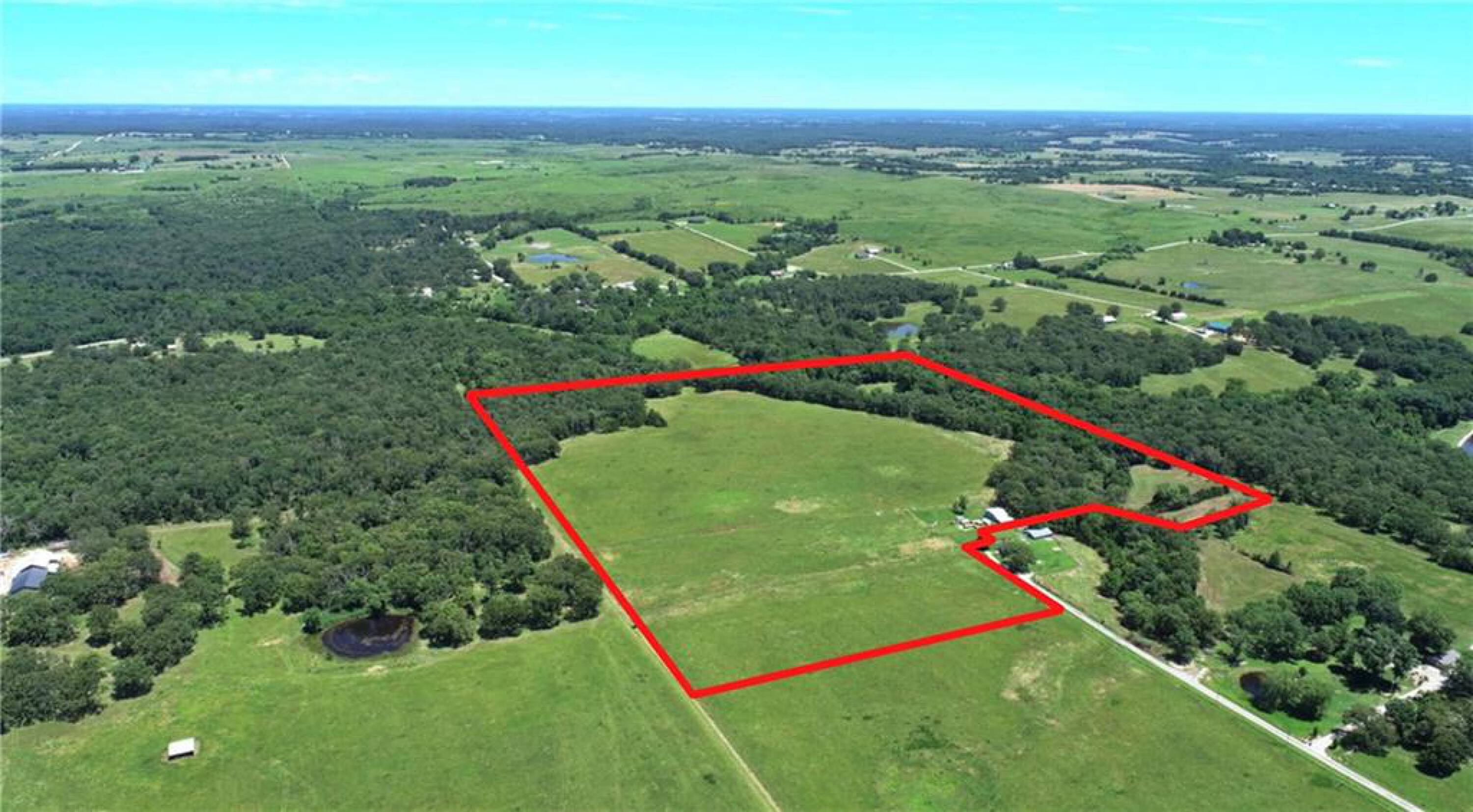
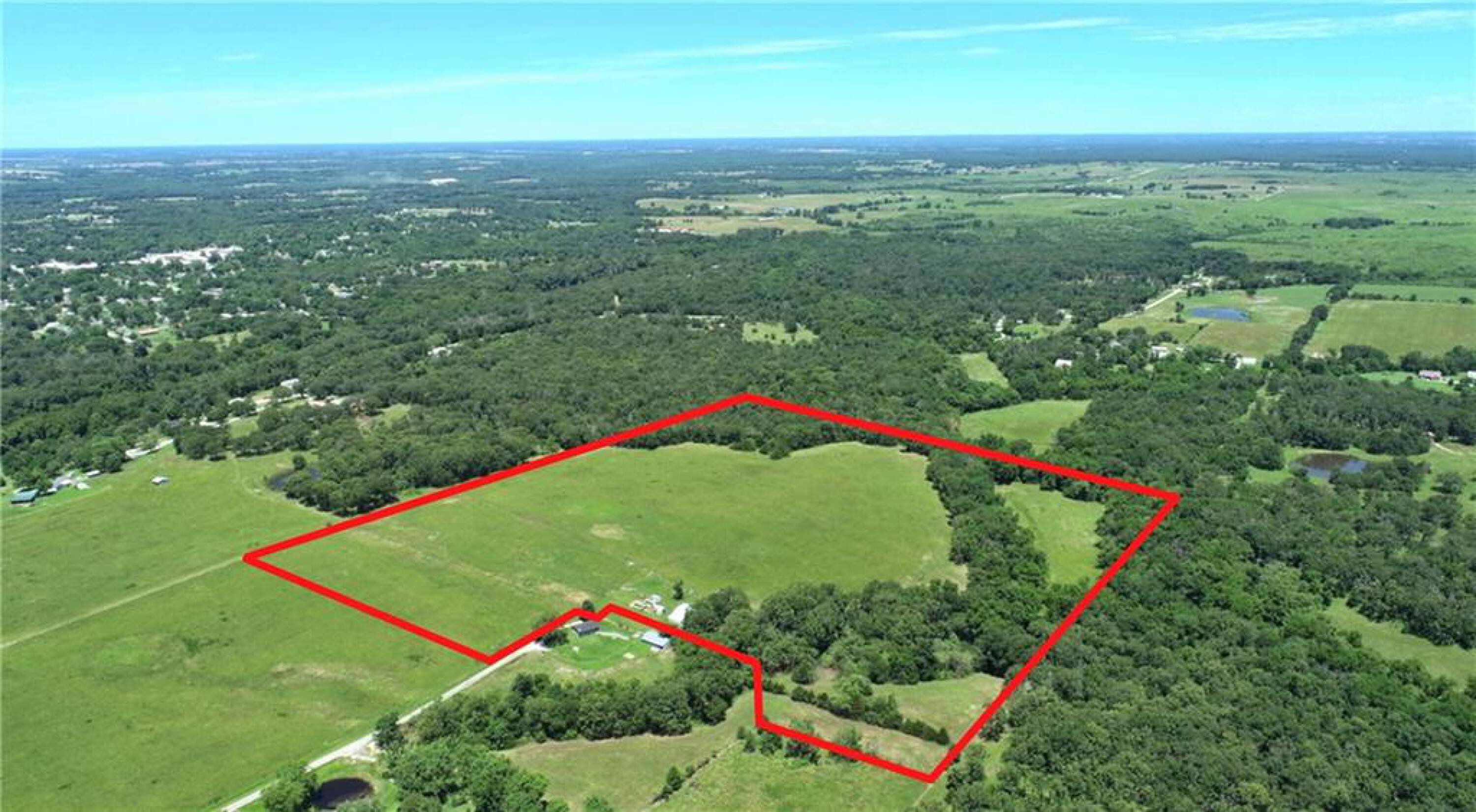
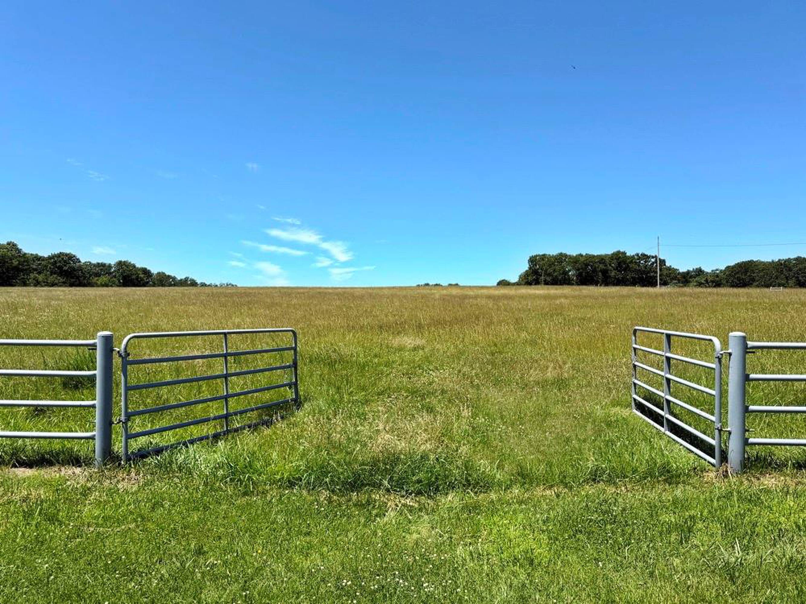
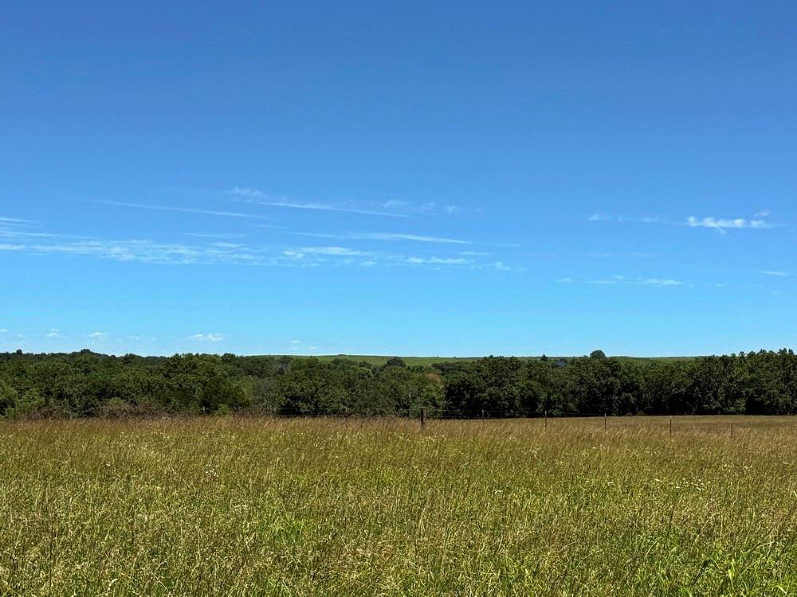
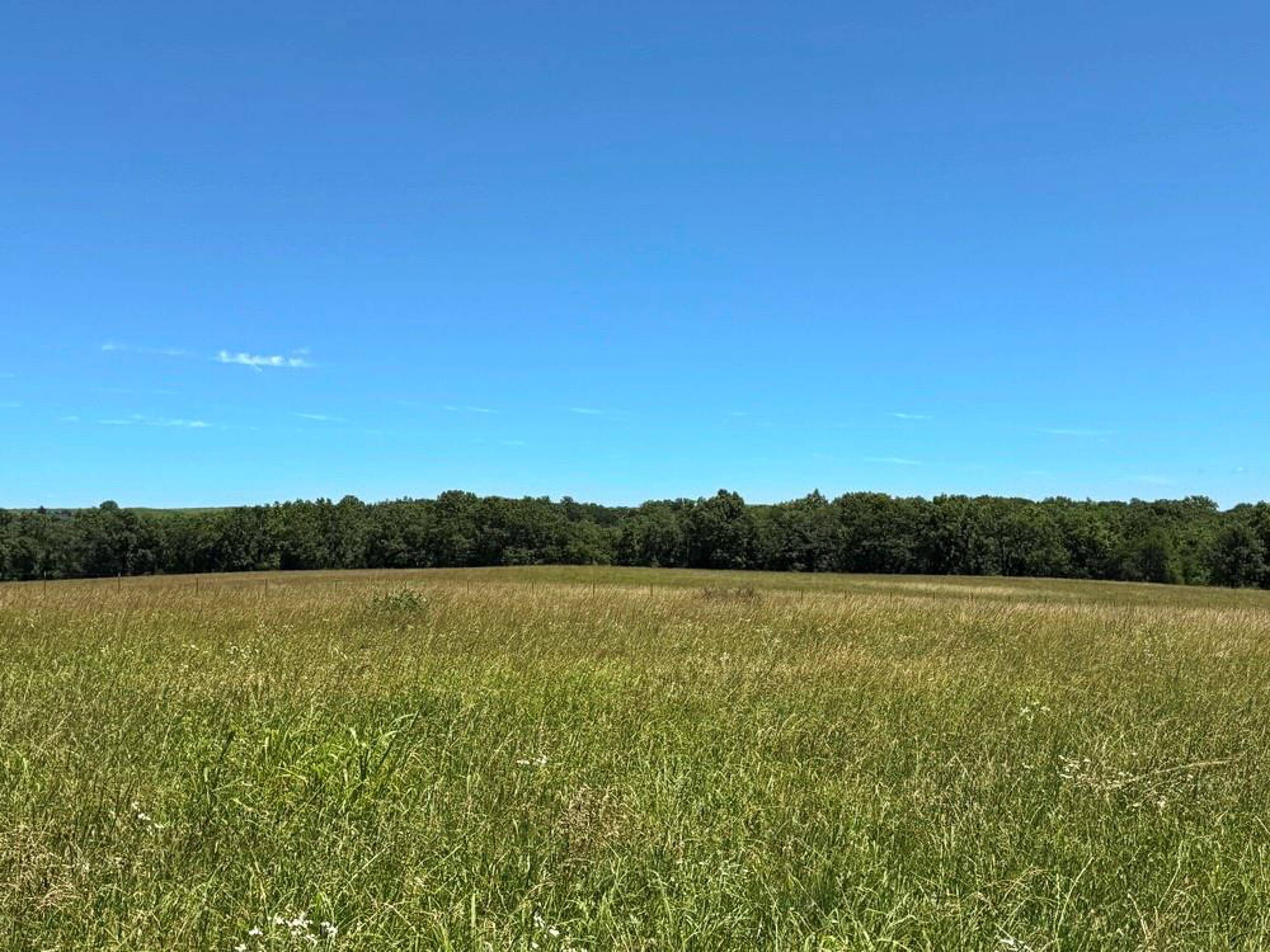
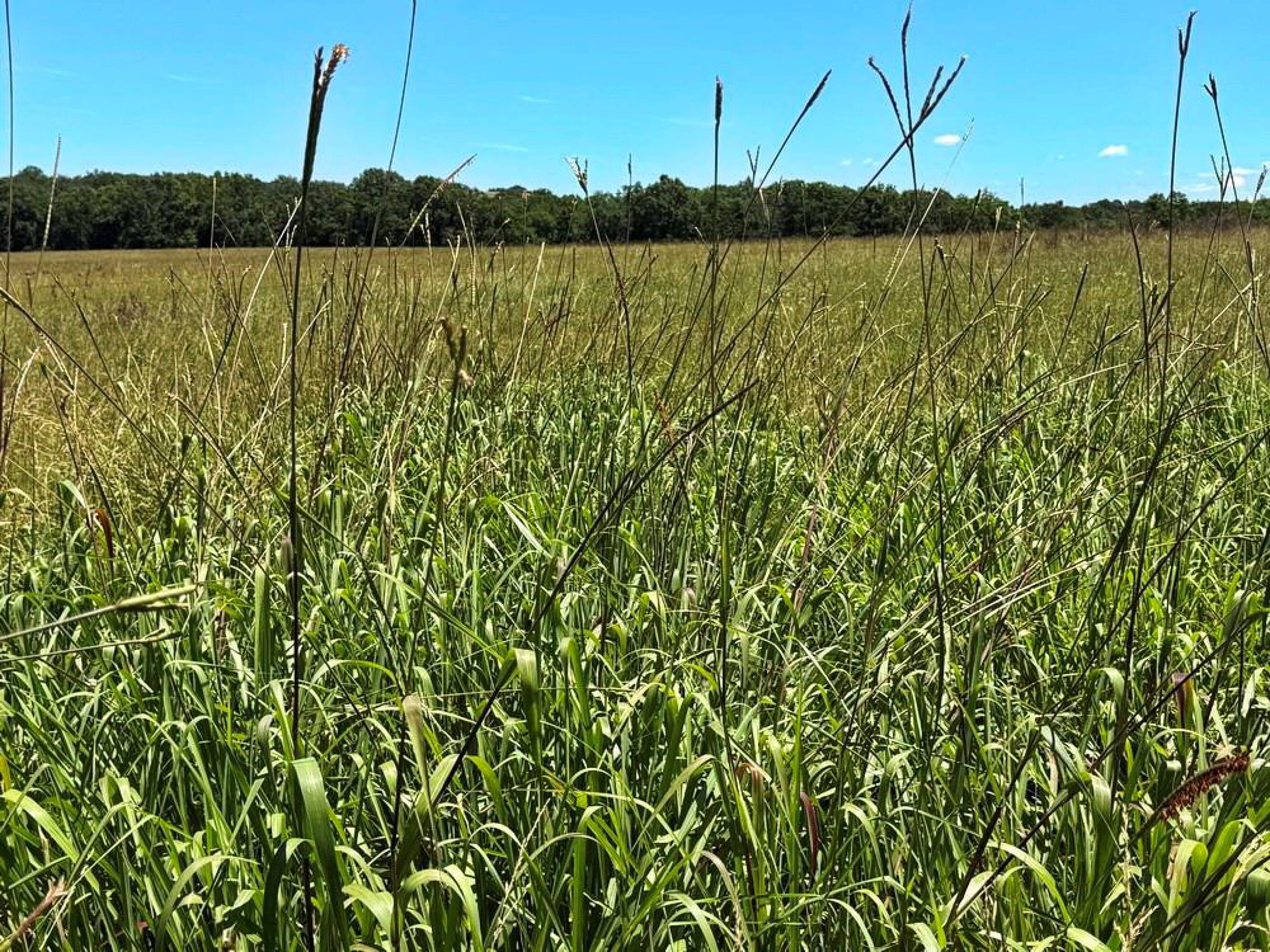
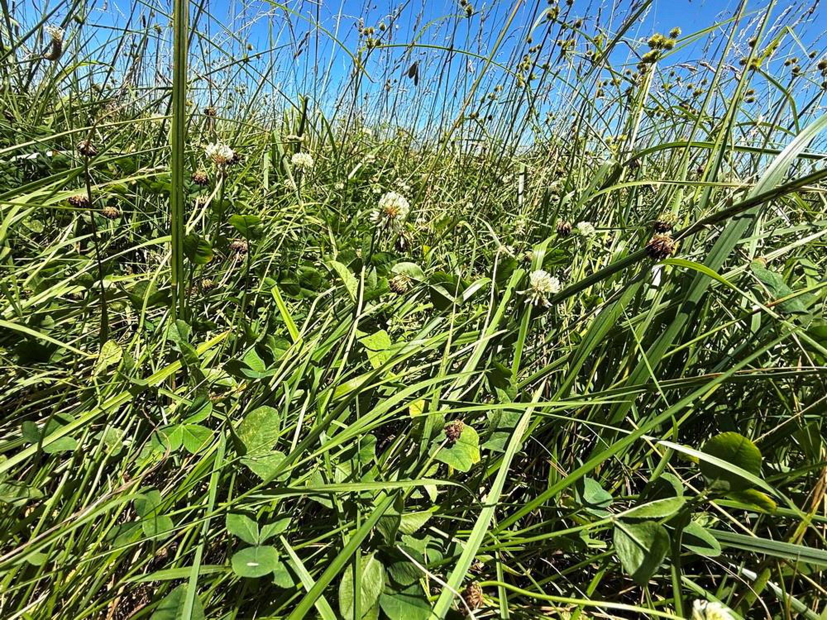
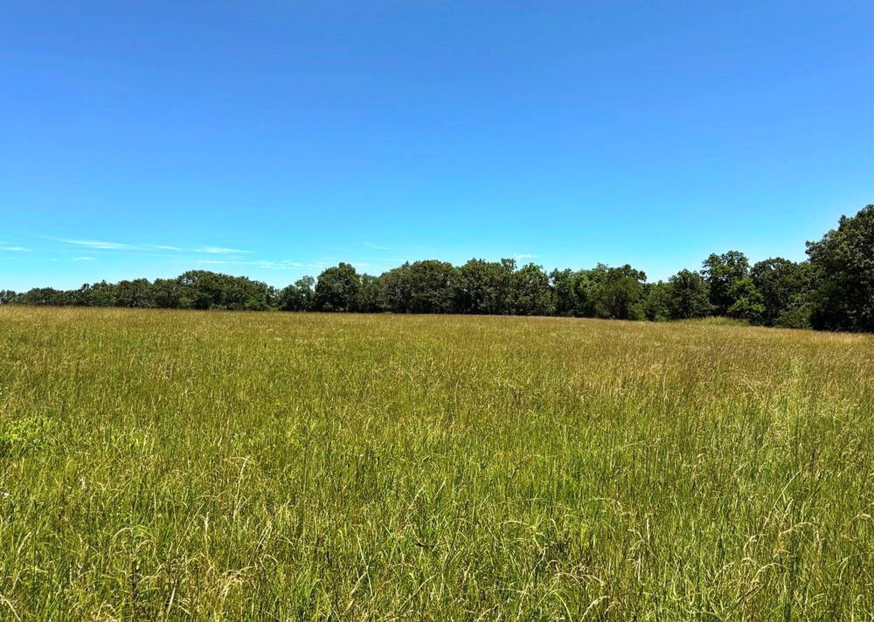
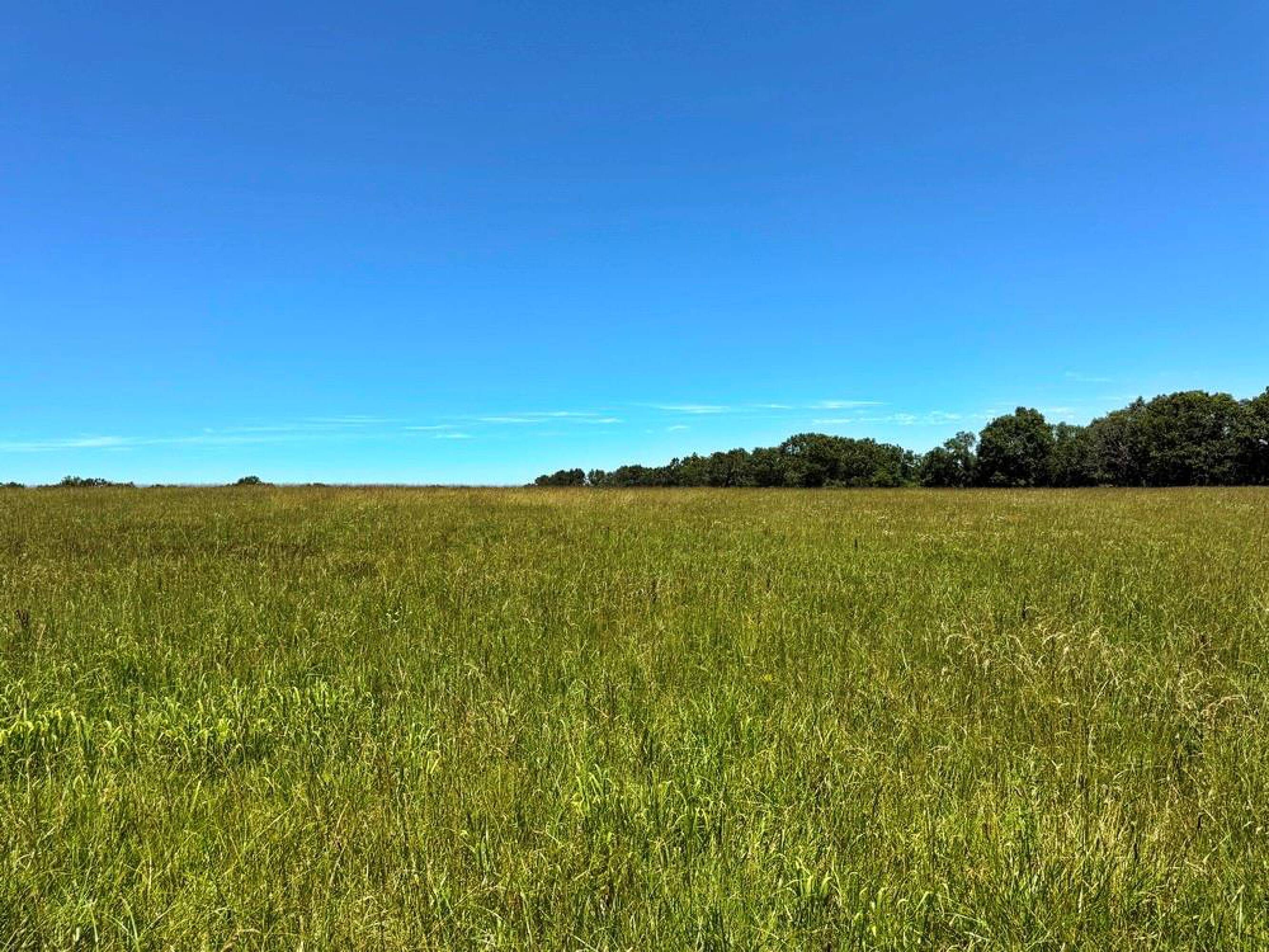
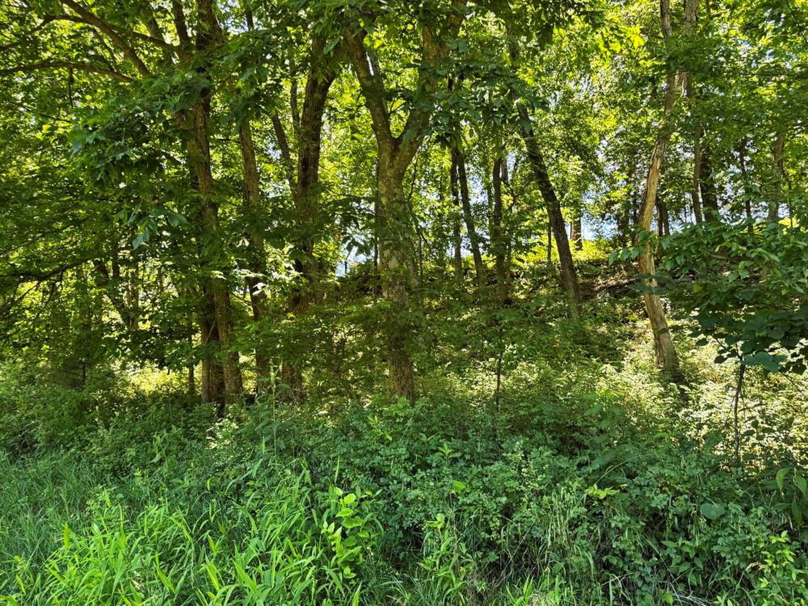
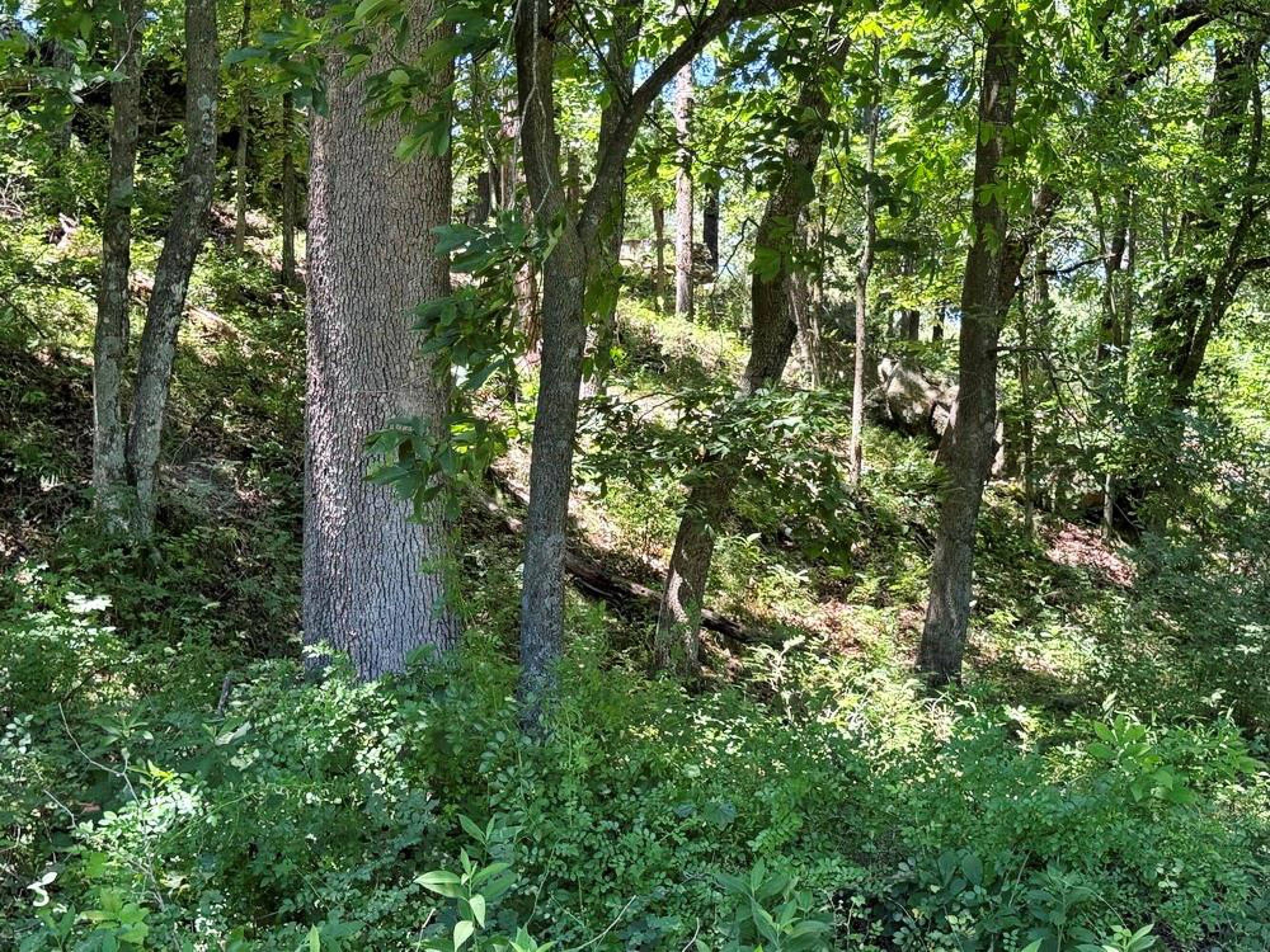
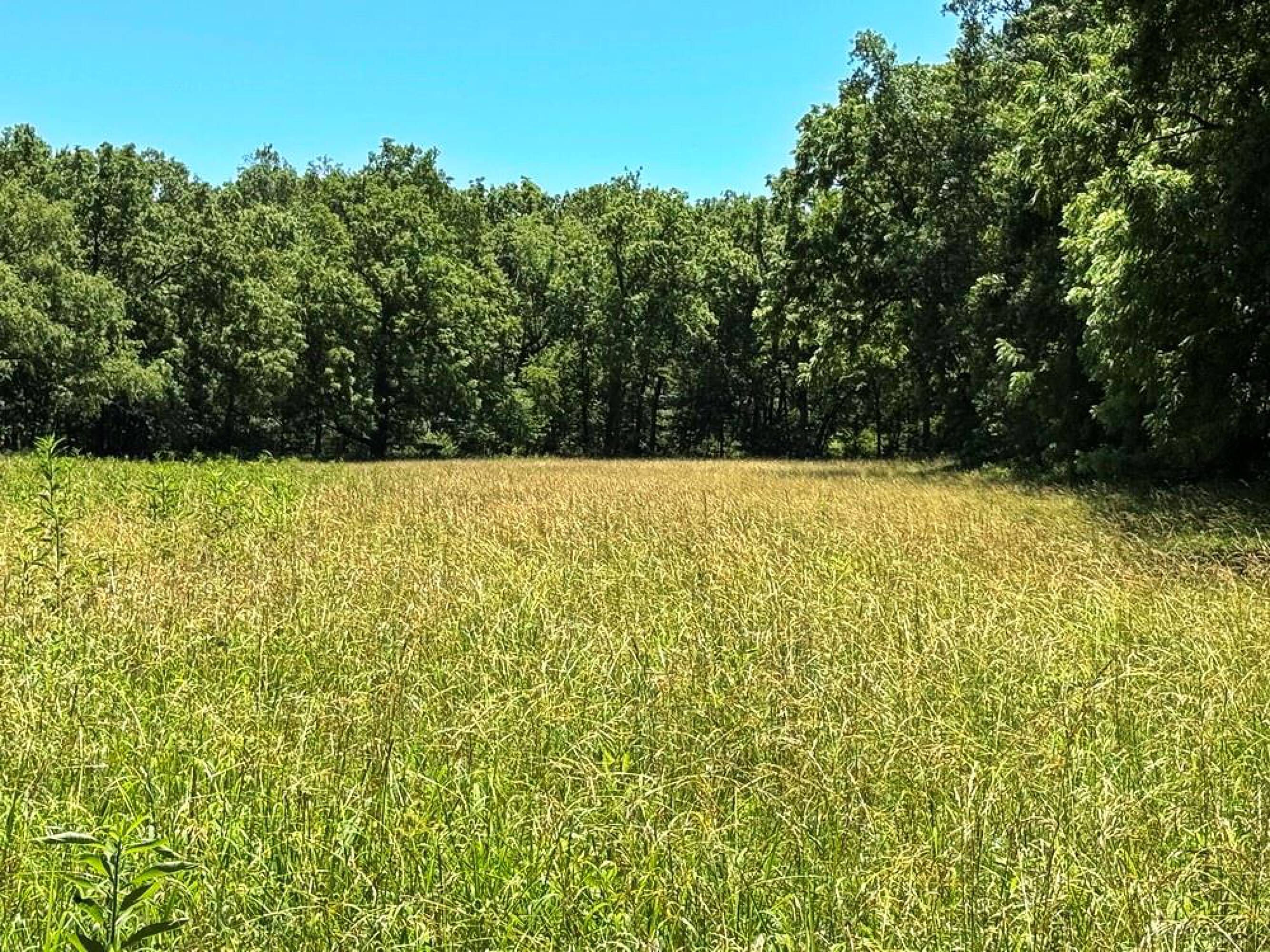
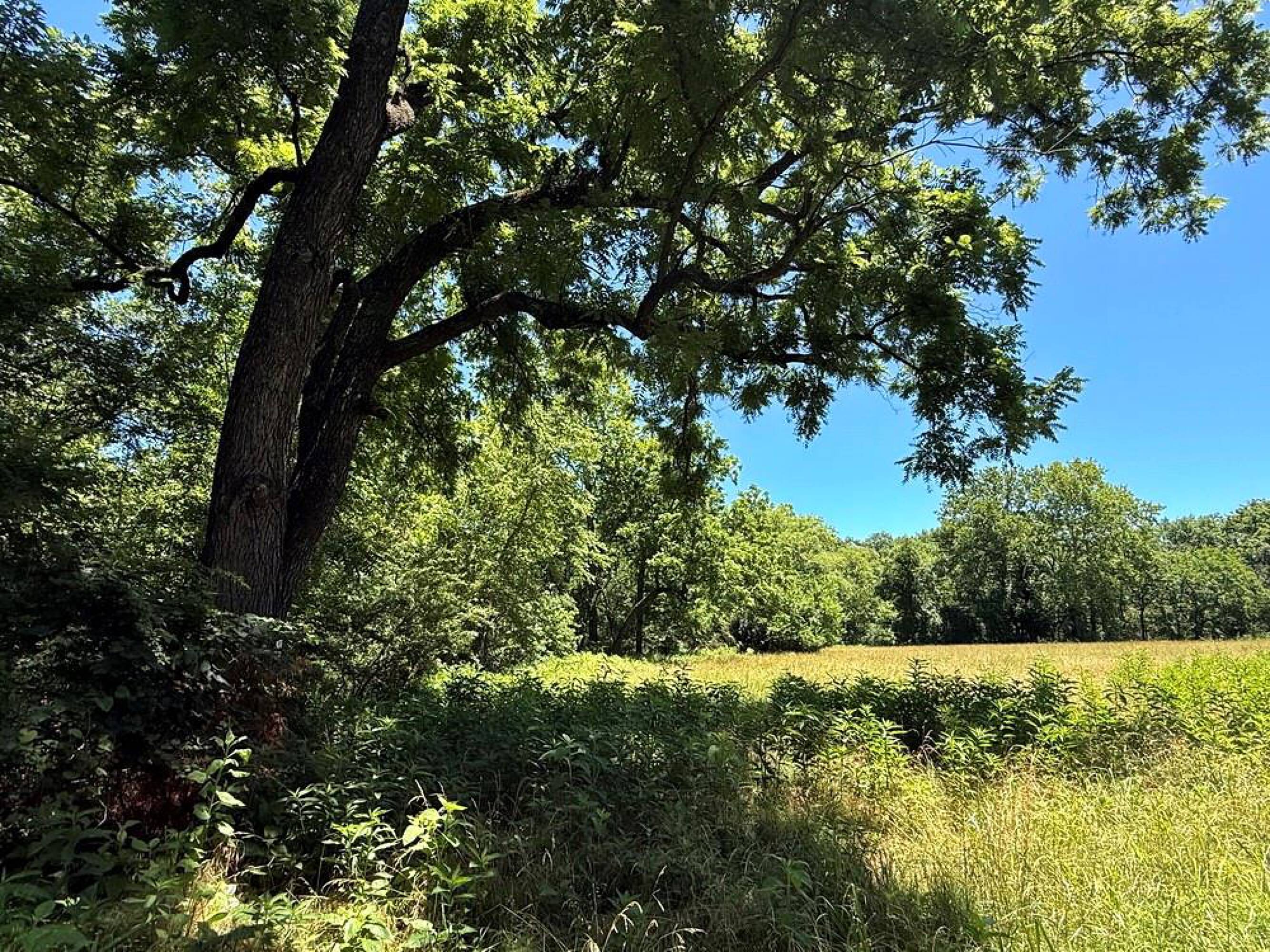
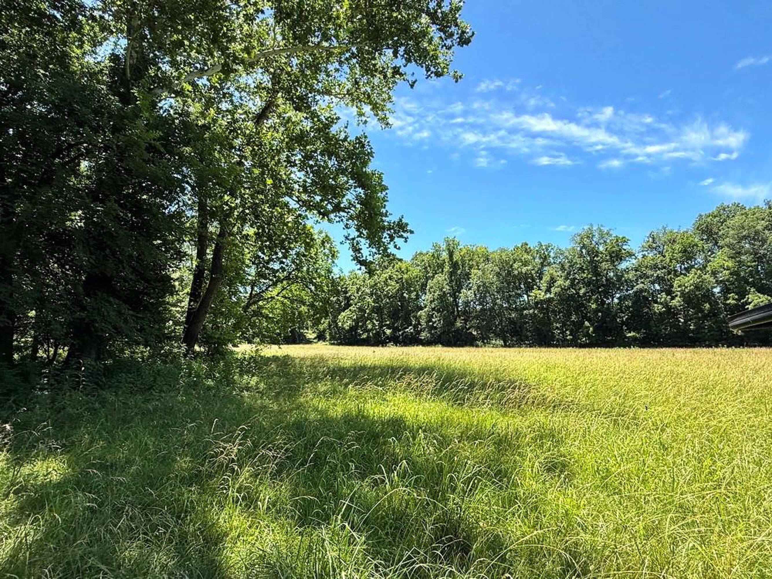
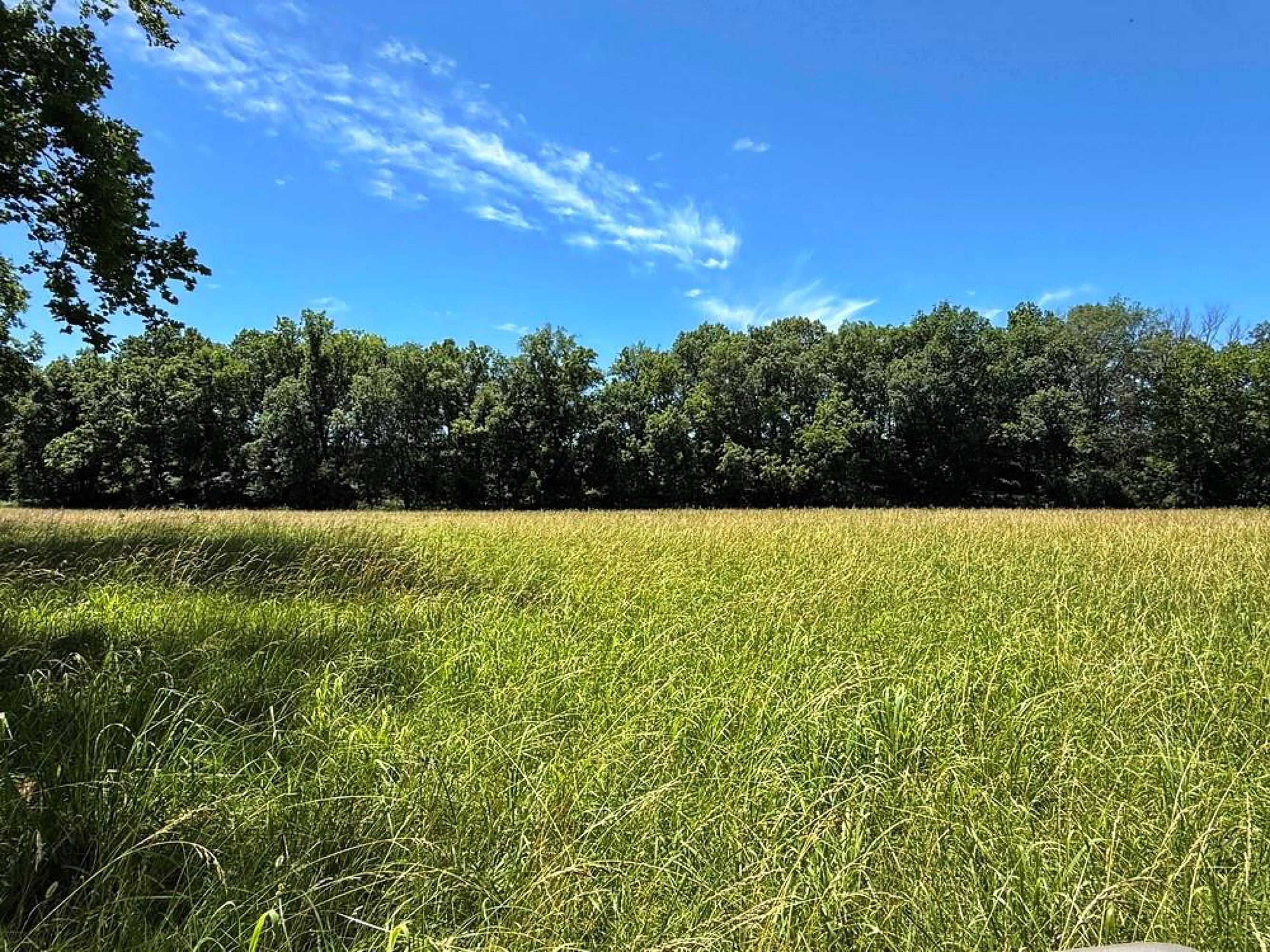
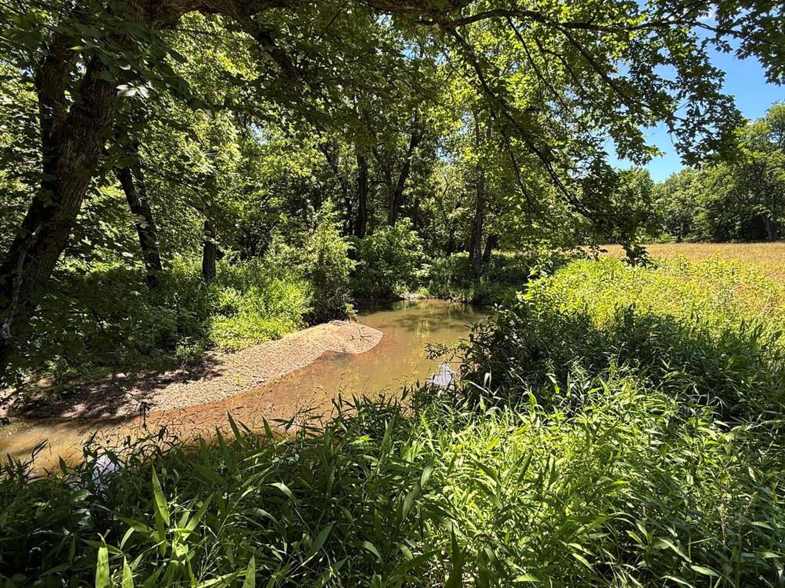
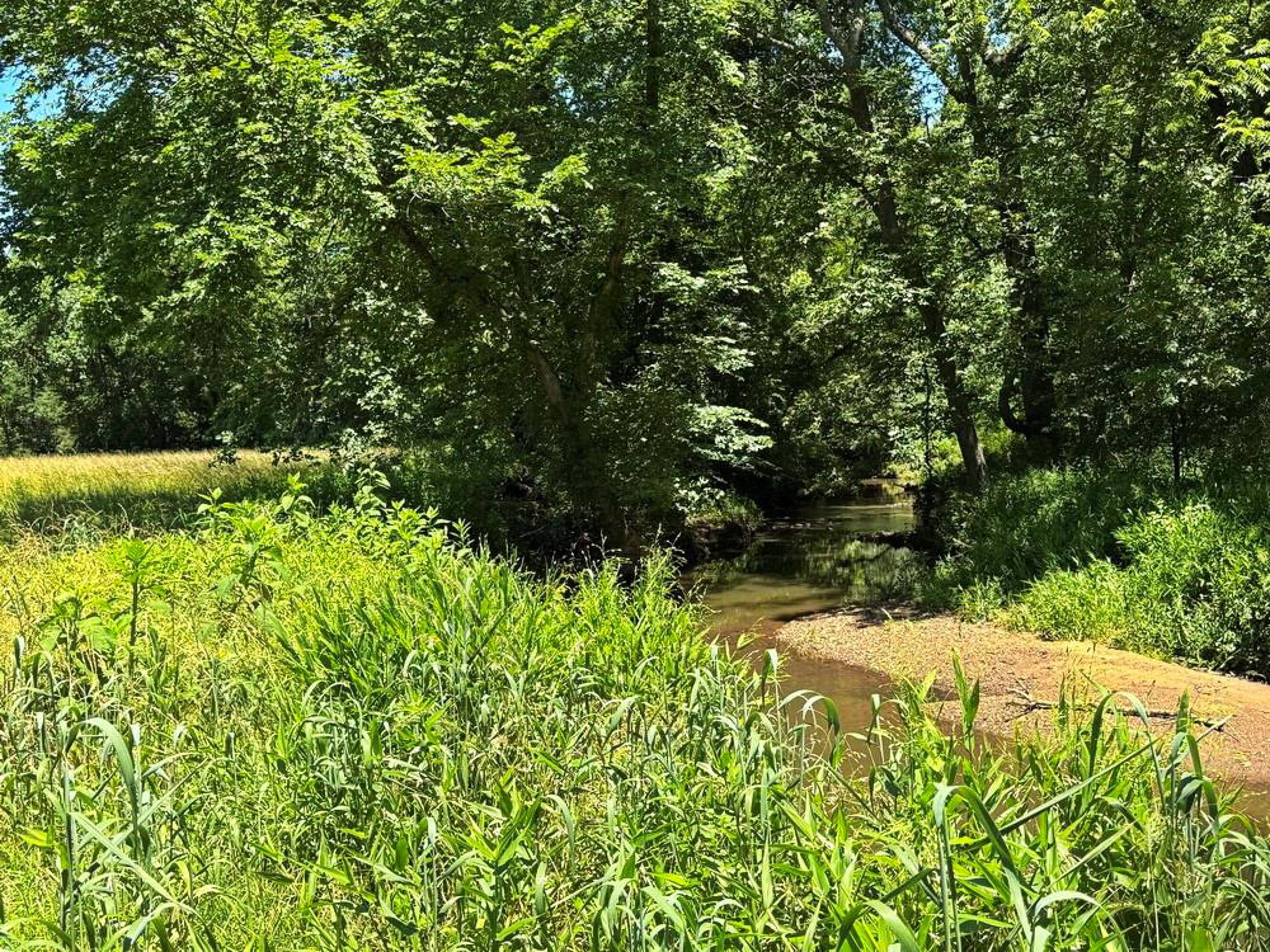
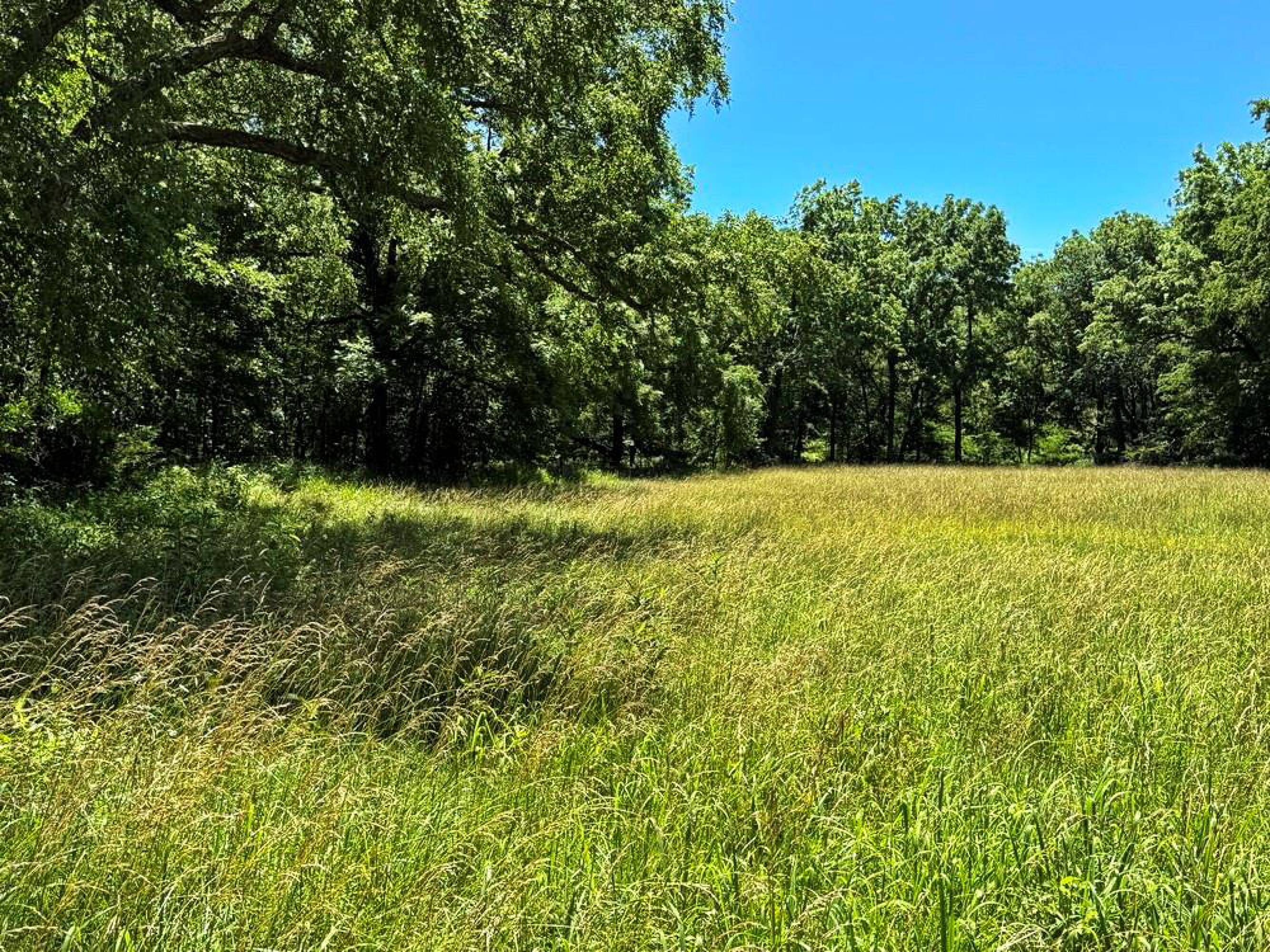
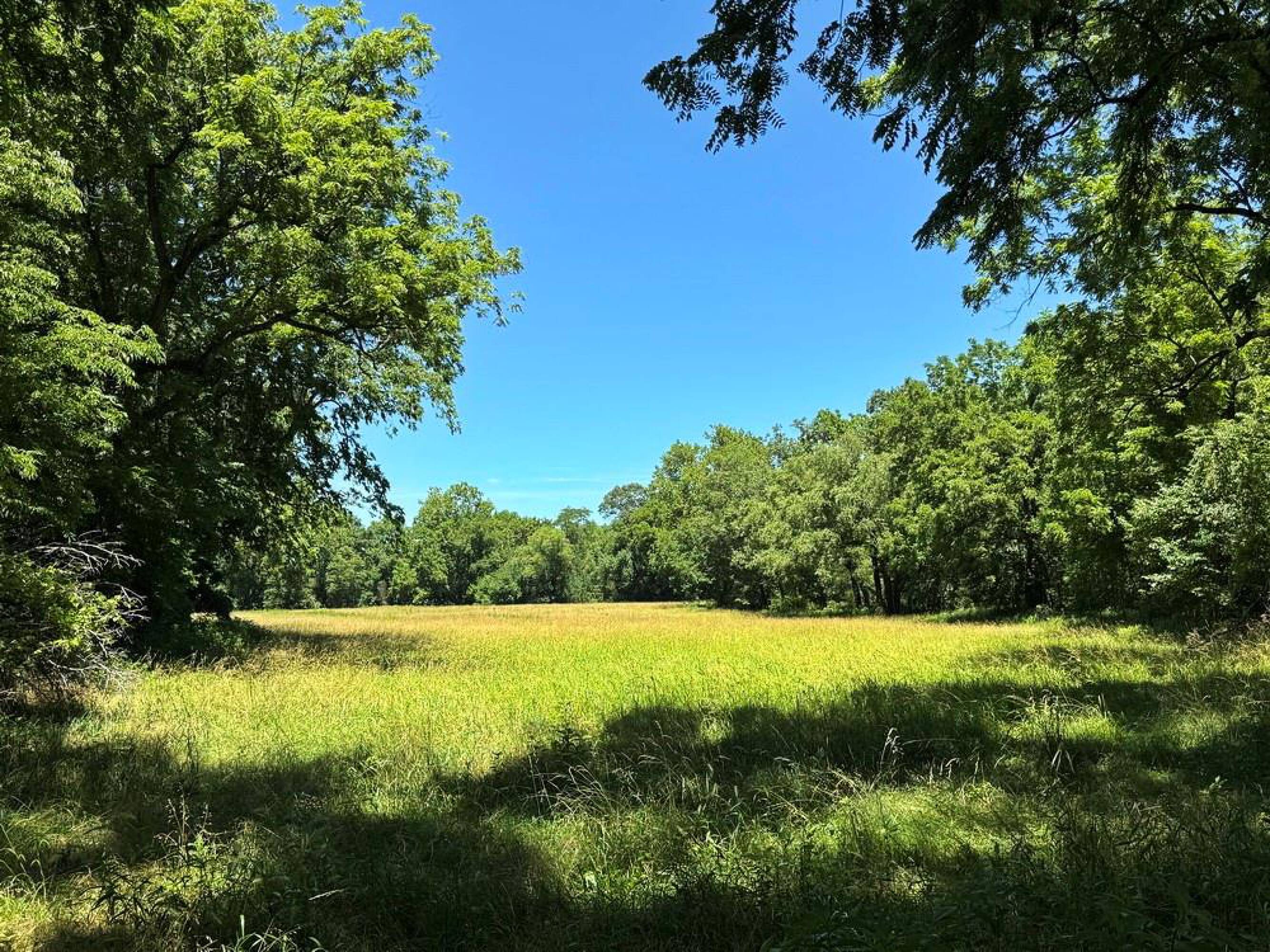
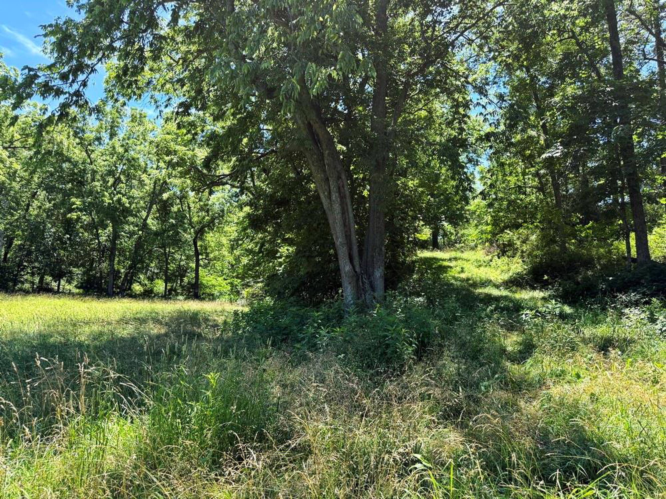
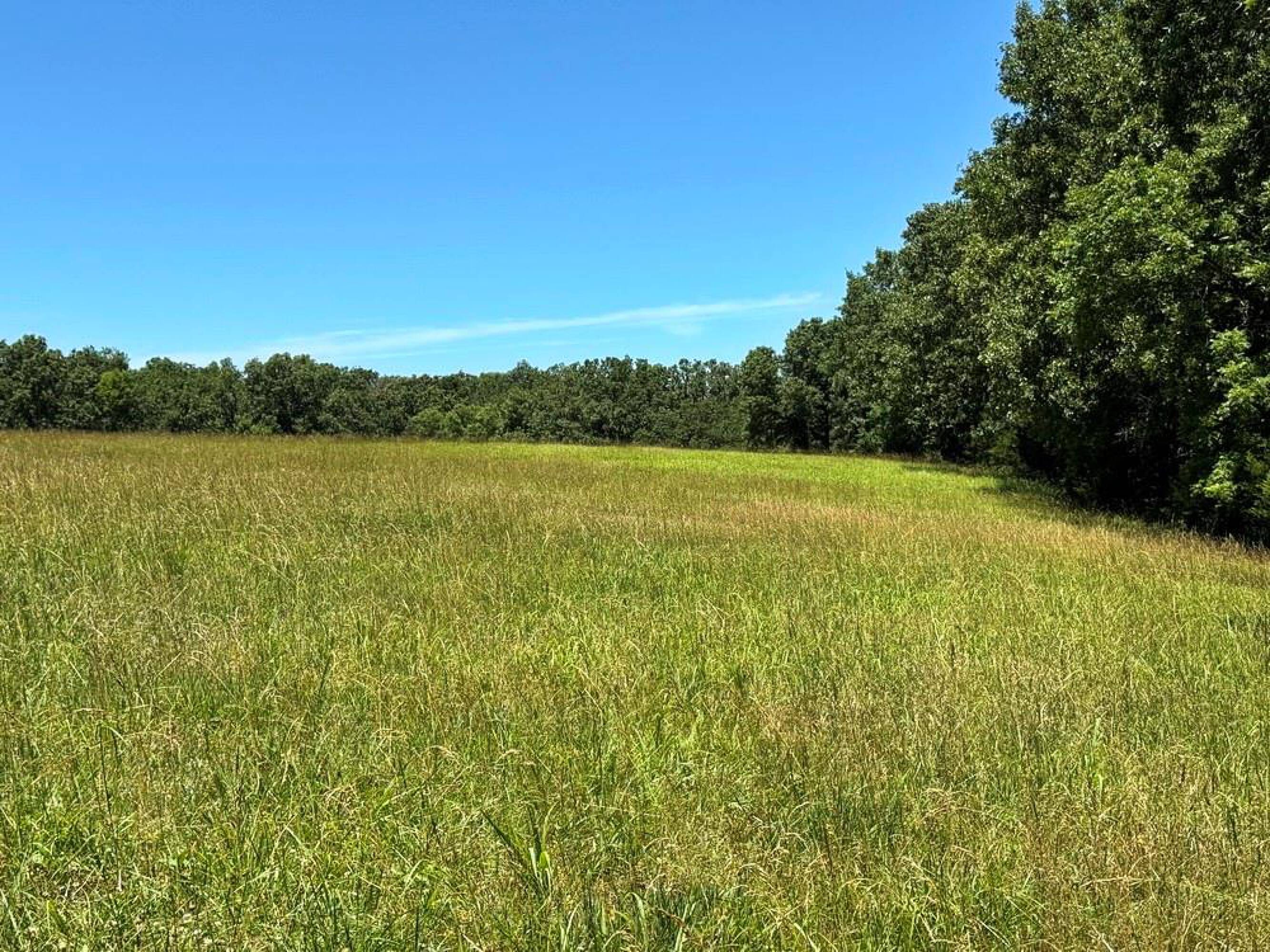
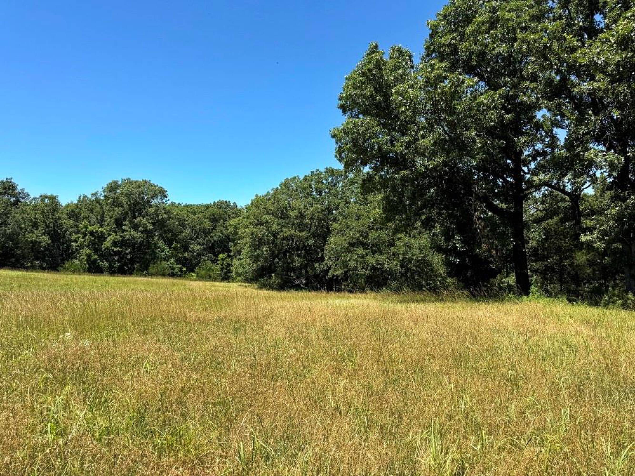
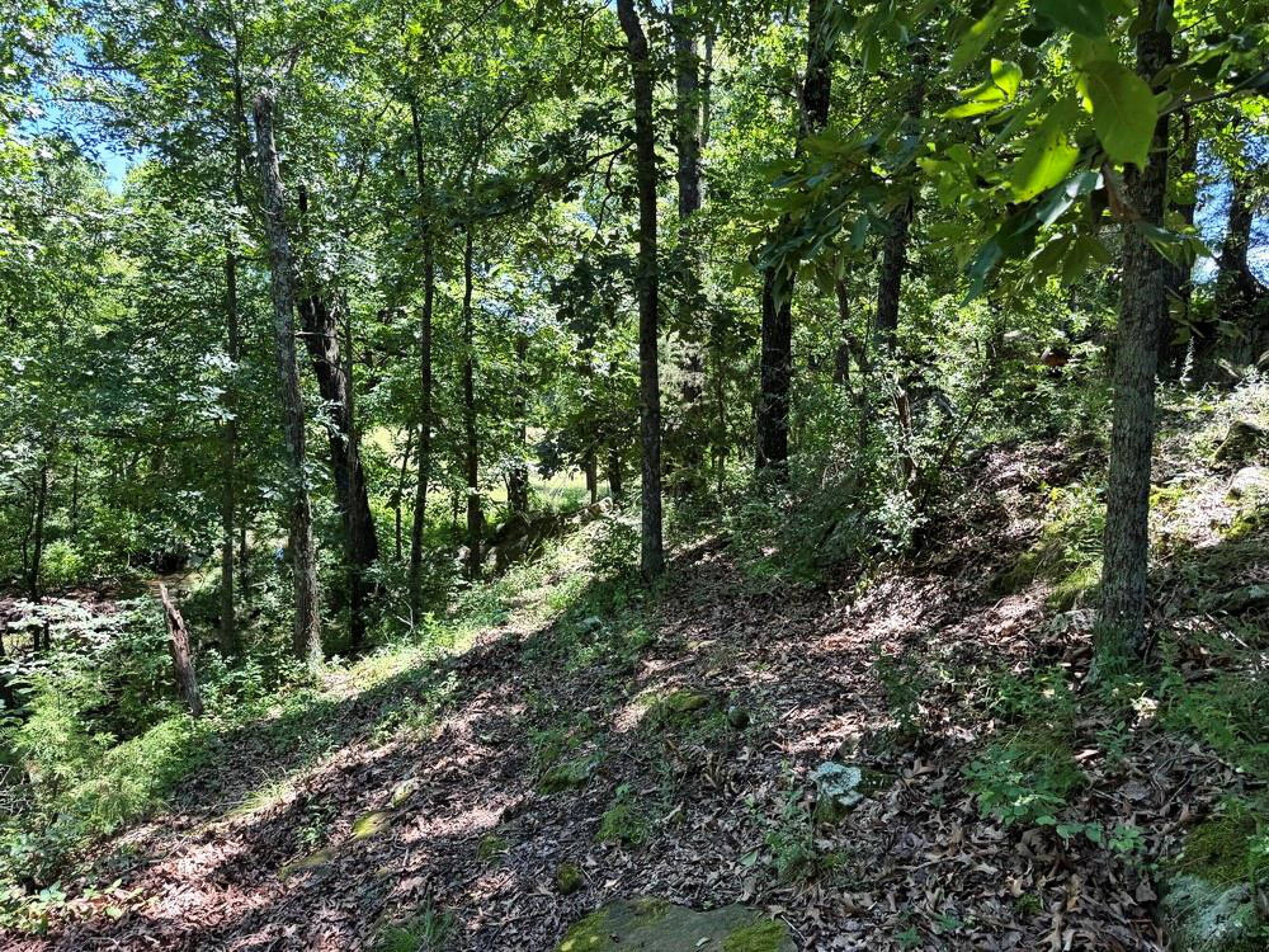
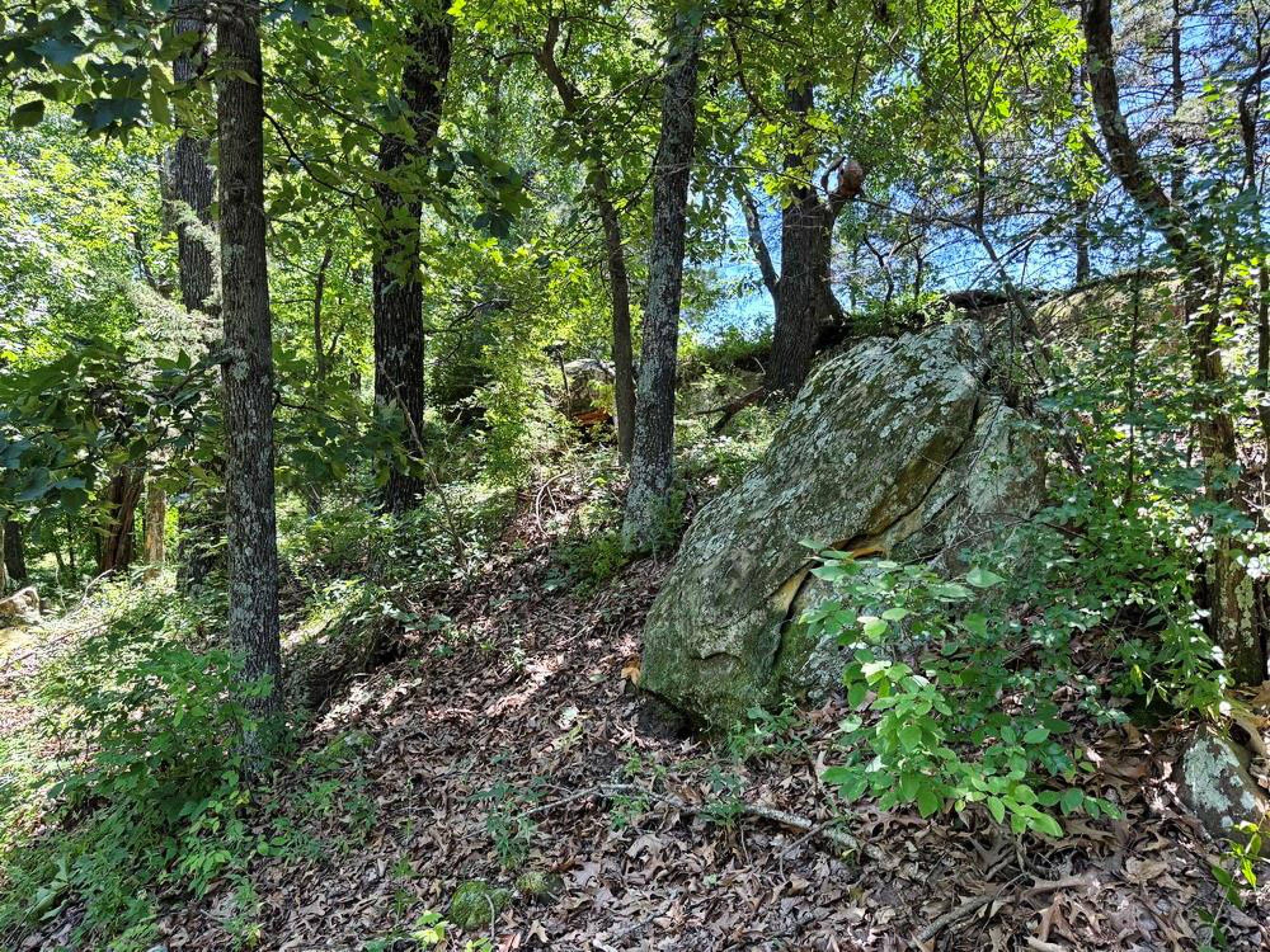
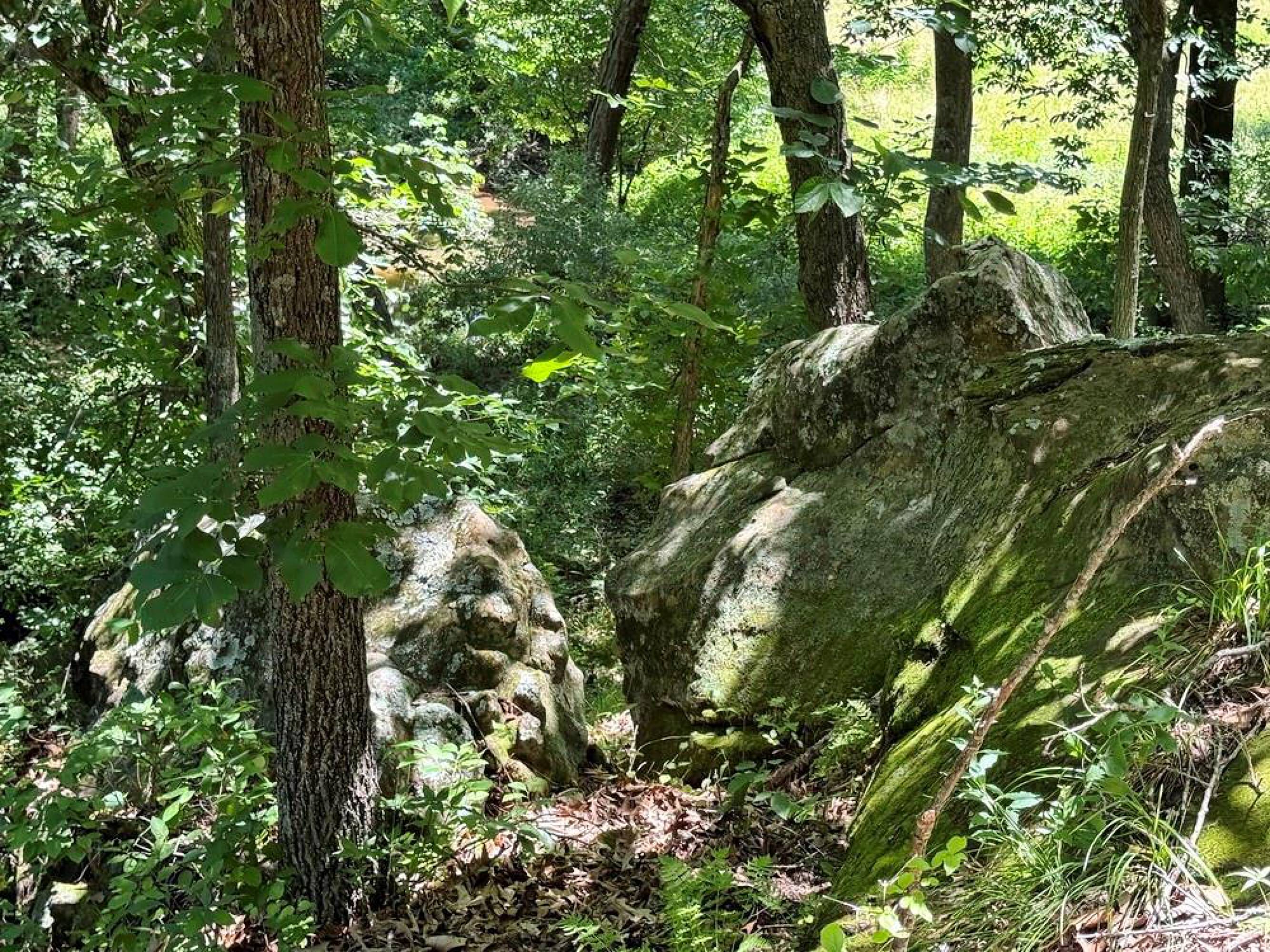
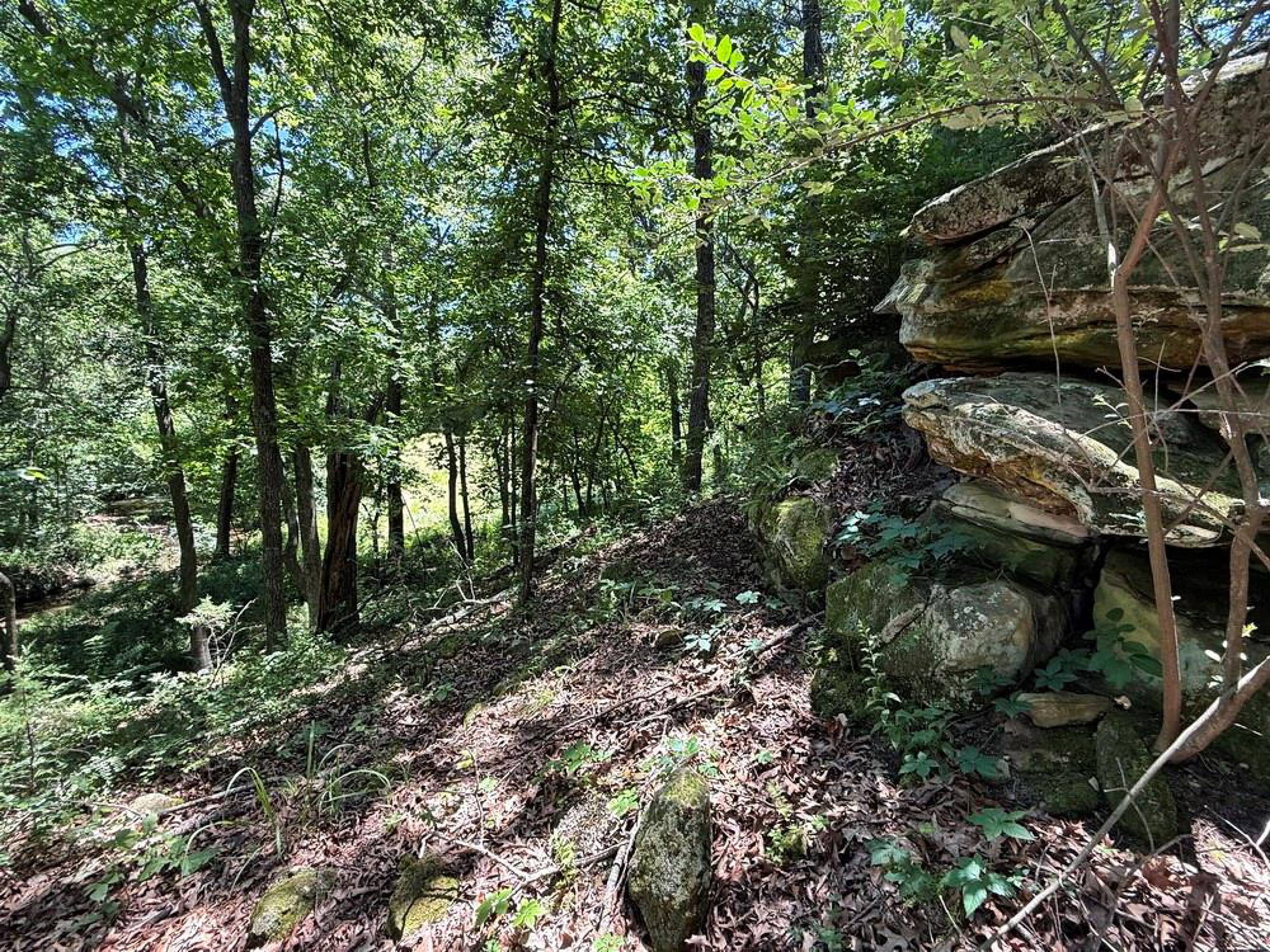
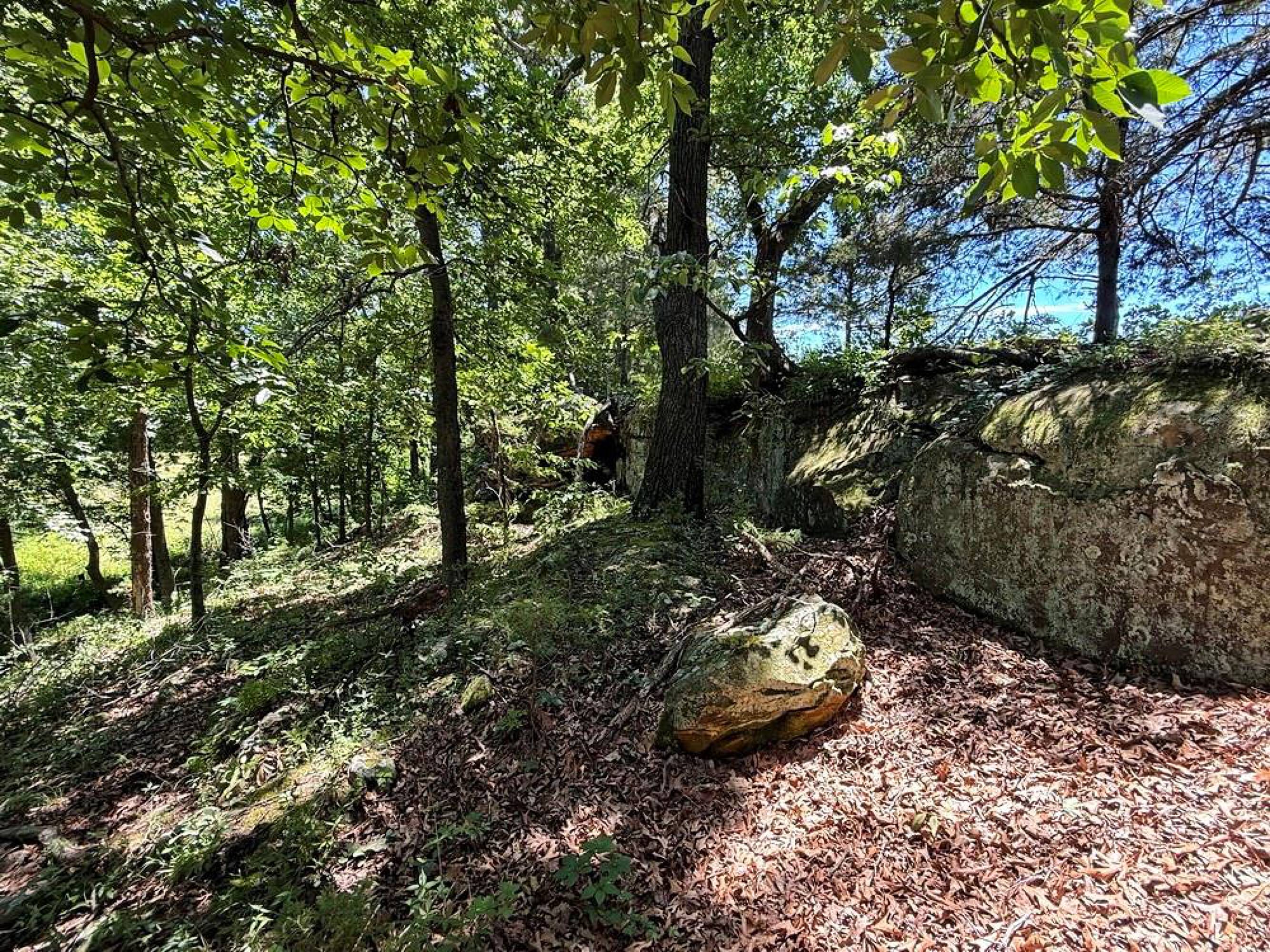
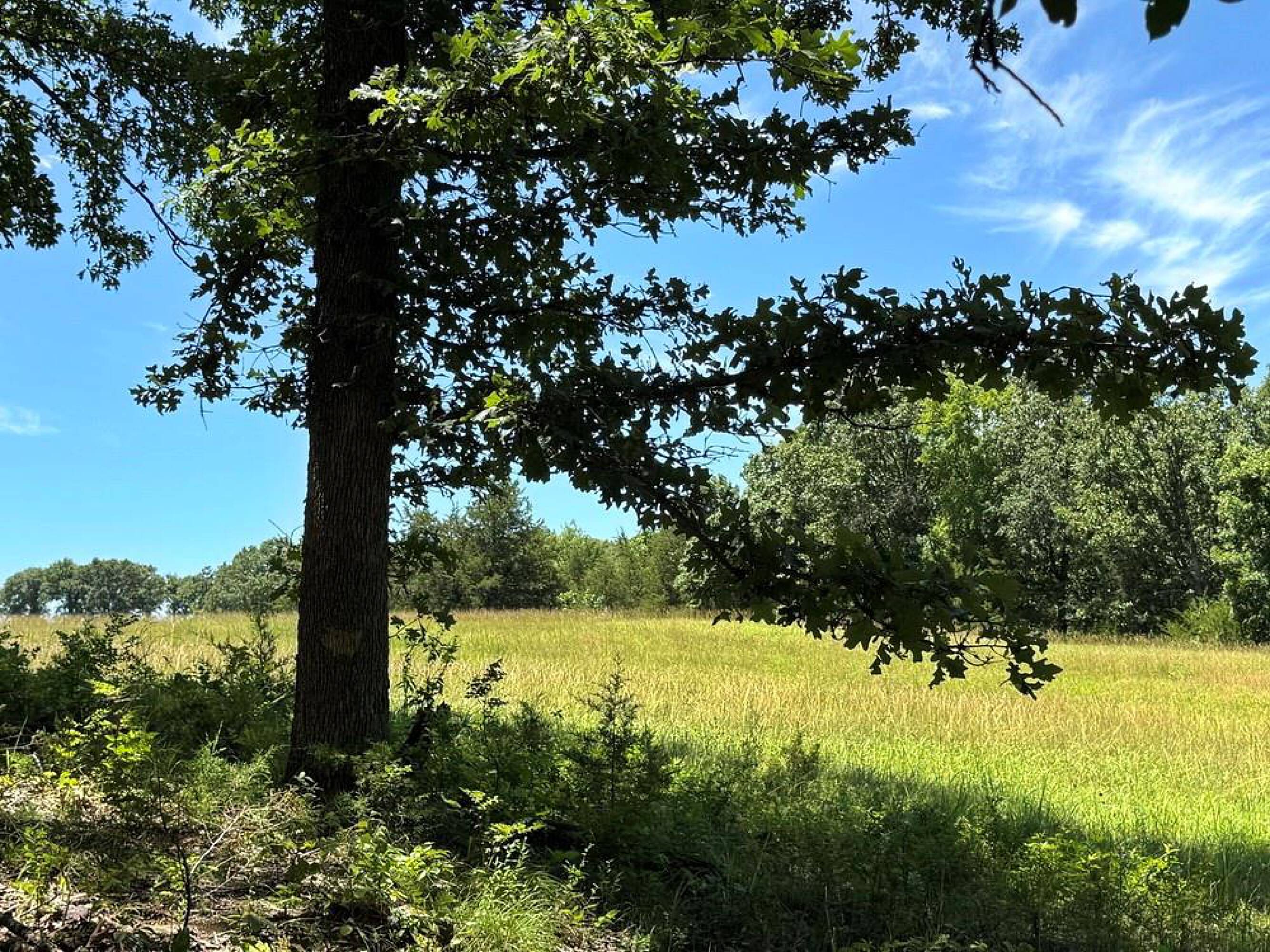
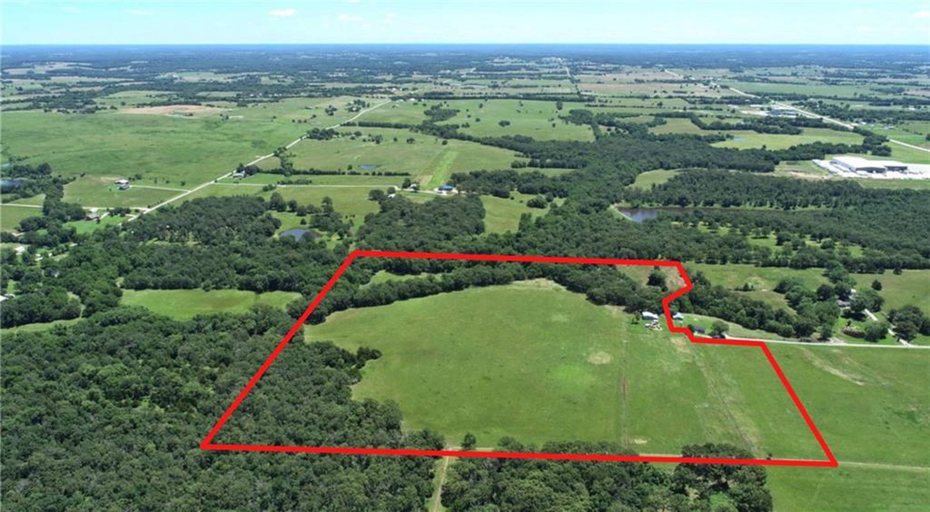
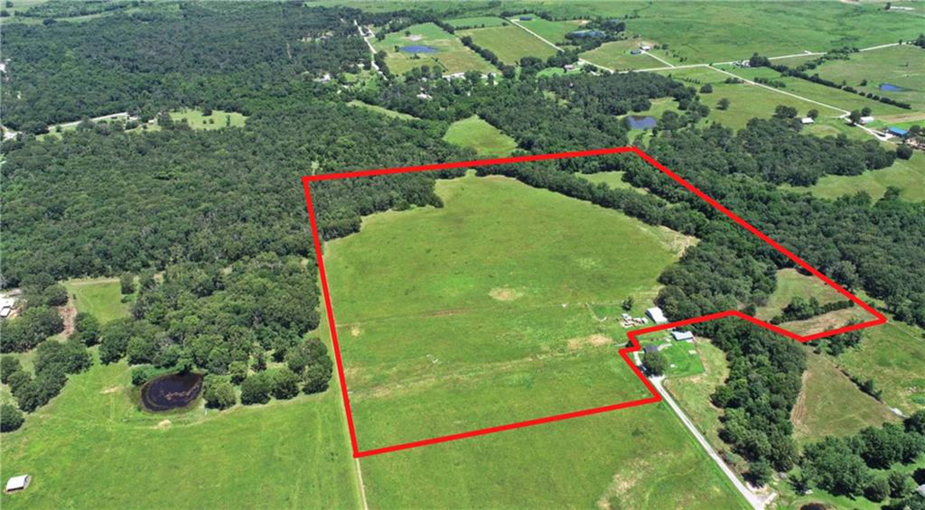
- 43‑acre surveyed vacant tract with diverse hunting cover including open fields, oak & walnut woodlands, and deer bedding area
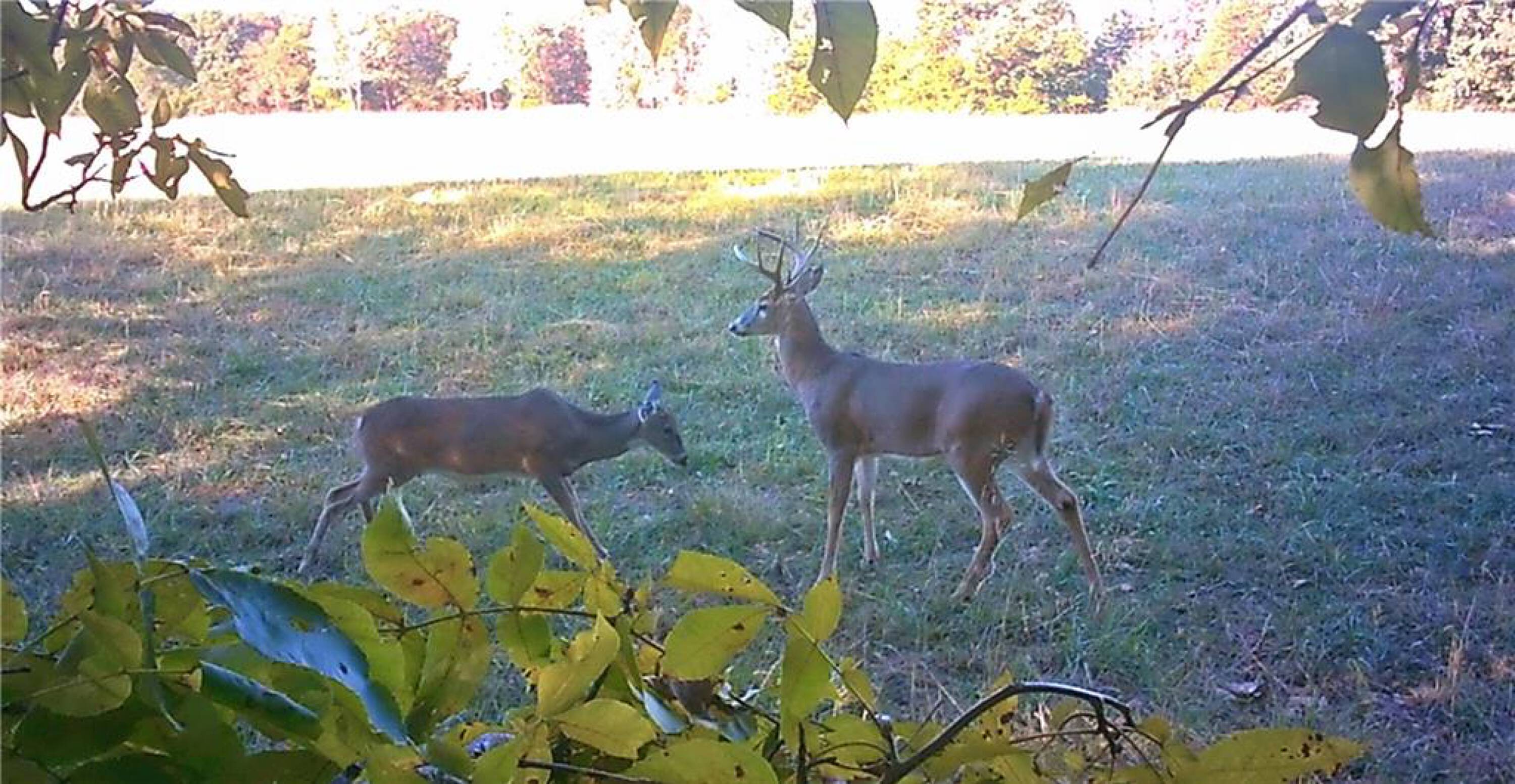
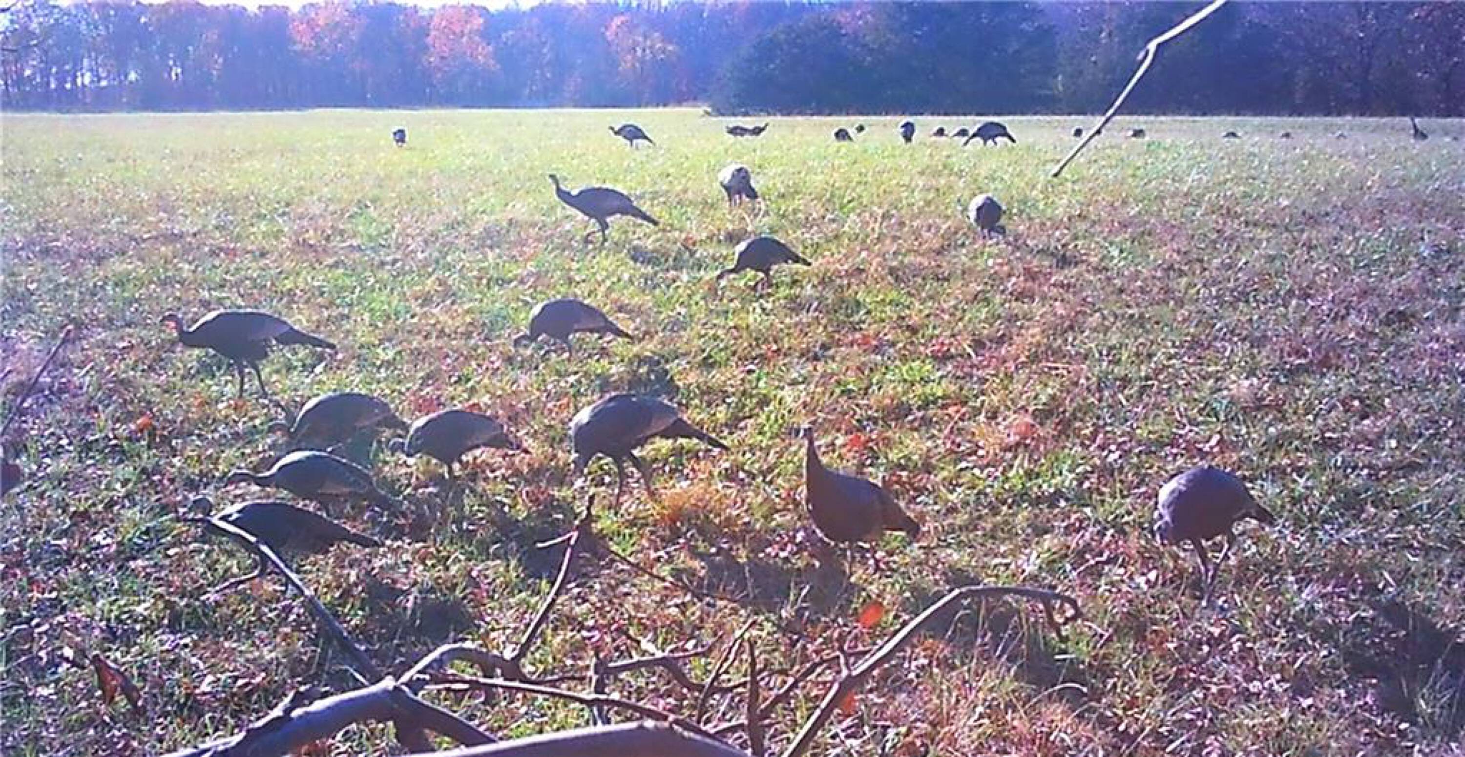
- Wildlife seen on every visit, including deer and turkey, with very little hunting pressure reported
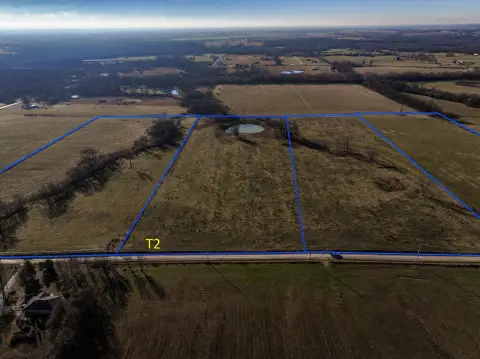
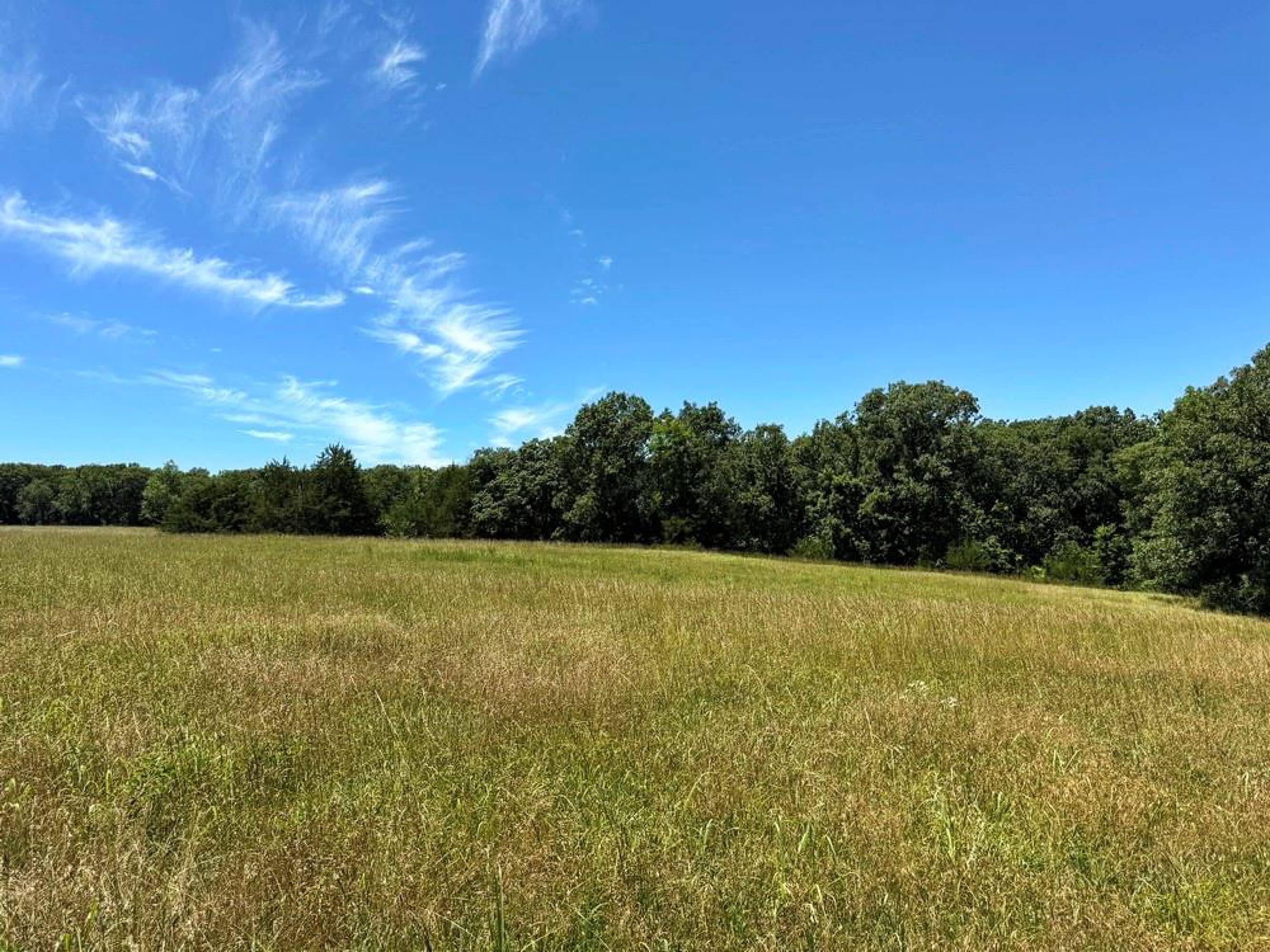
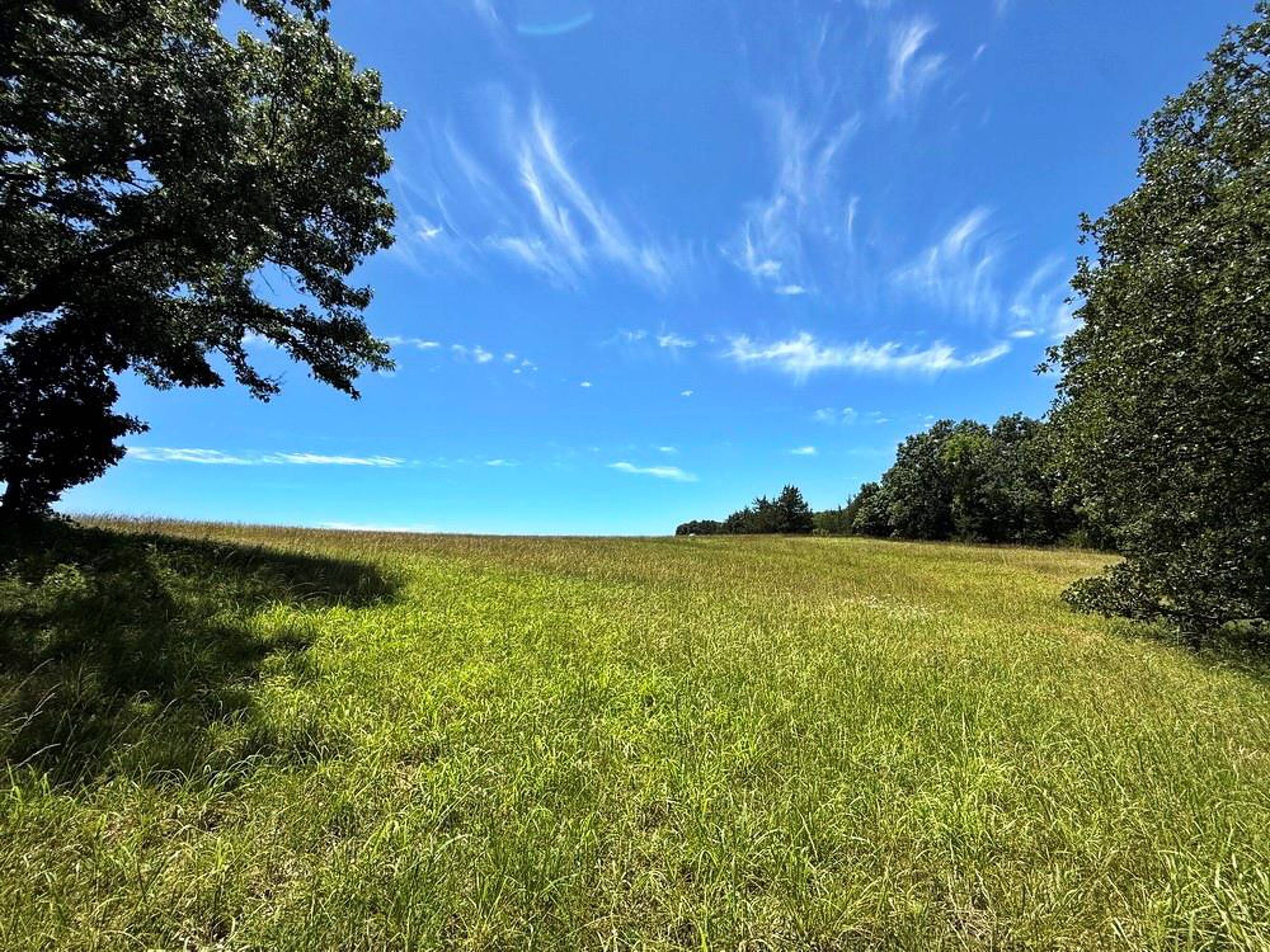
- Multiple view sites, including best build‑site in the southeast corner with a 1–2 mile view north toward Wah‑Kon‑Tah Prairie
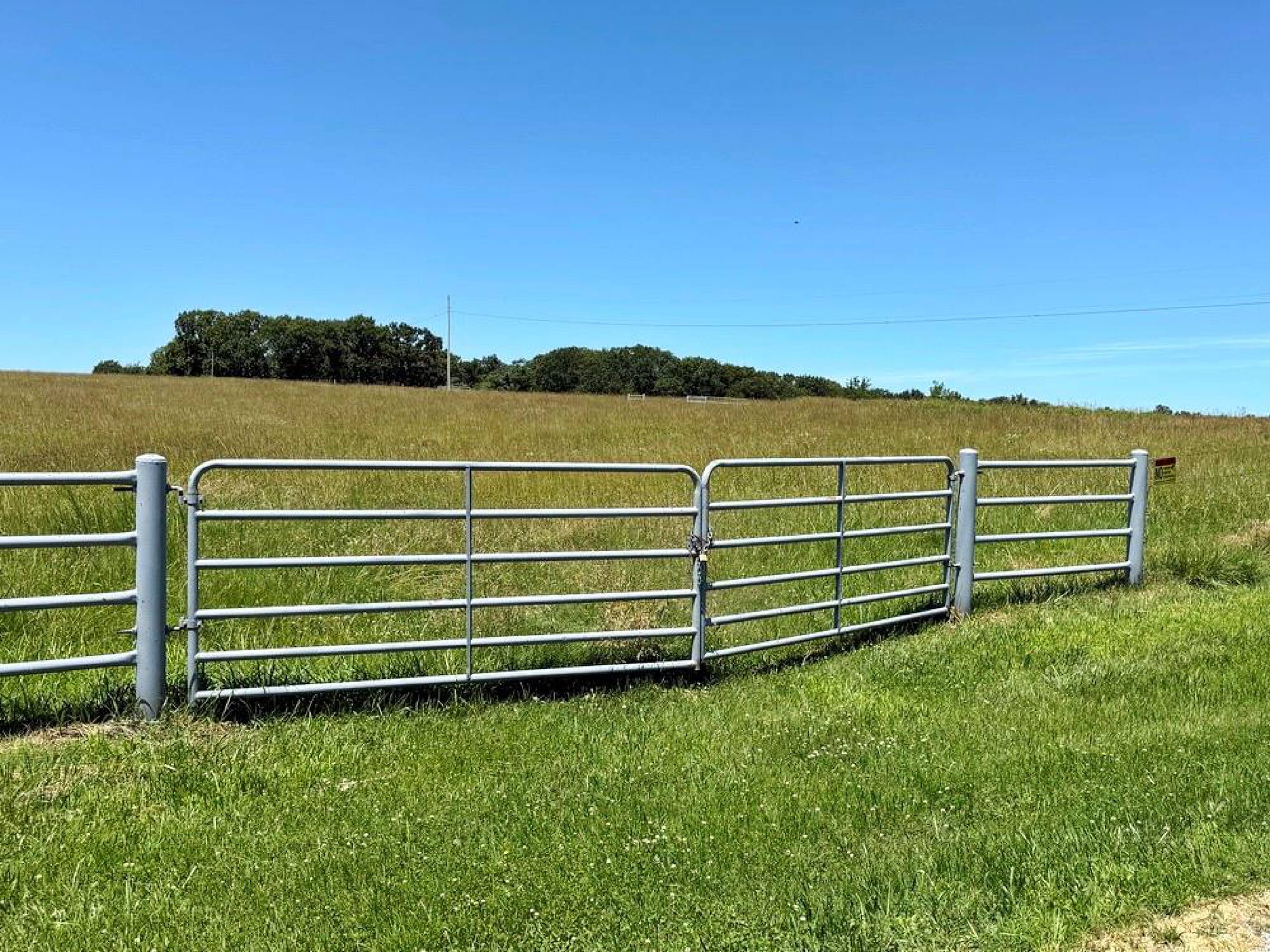
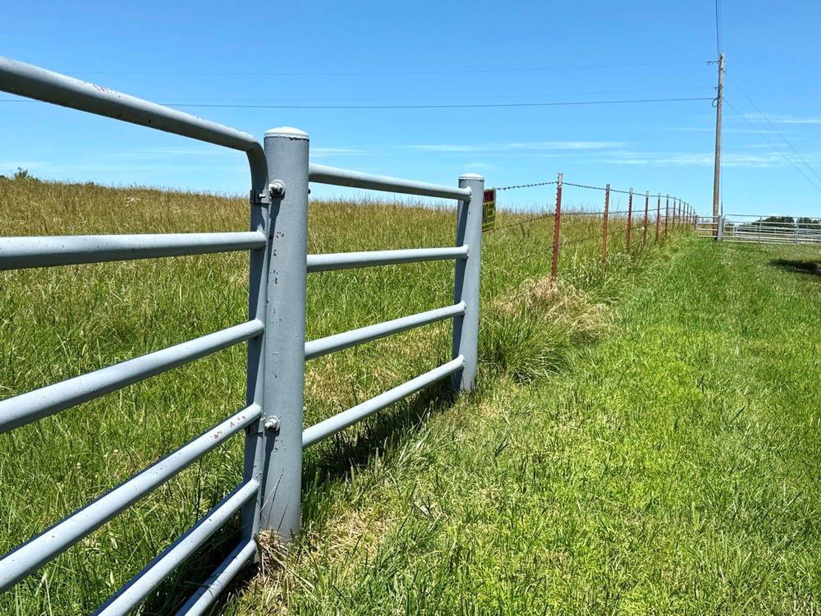
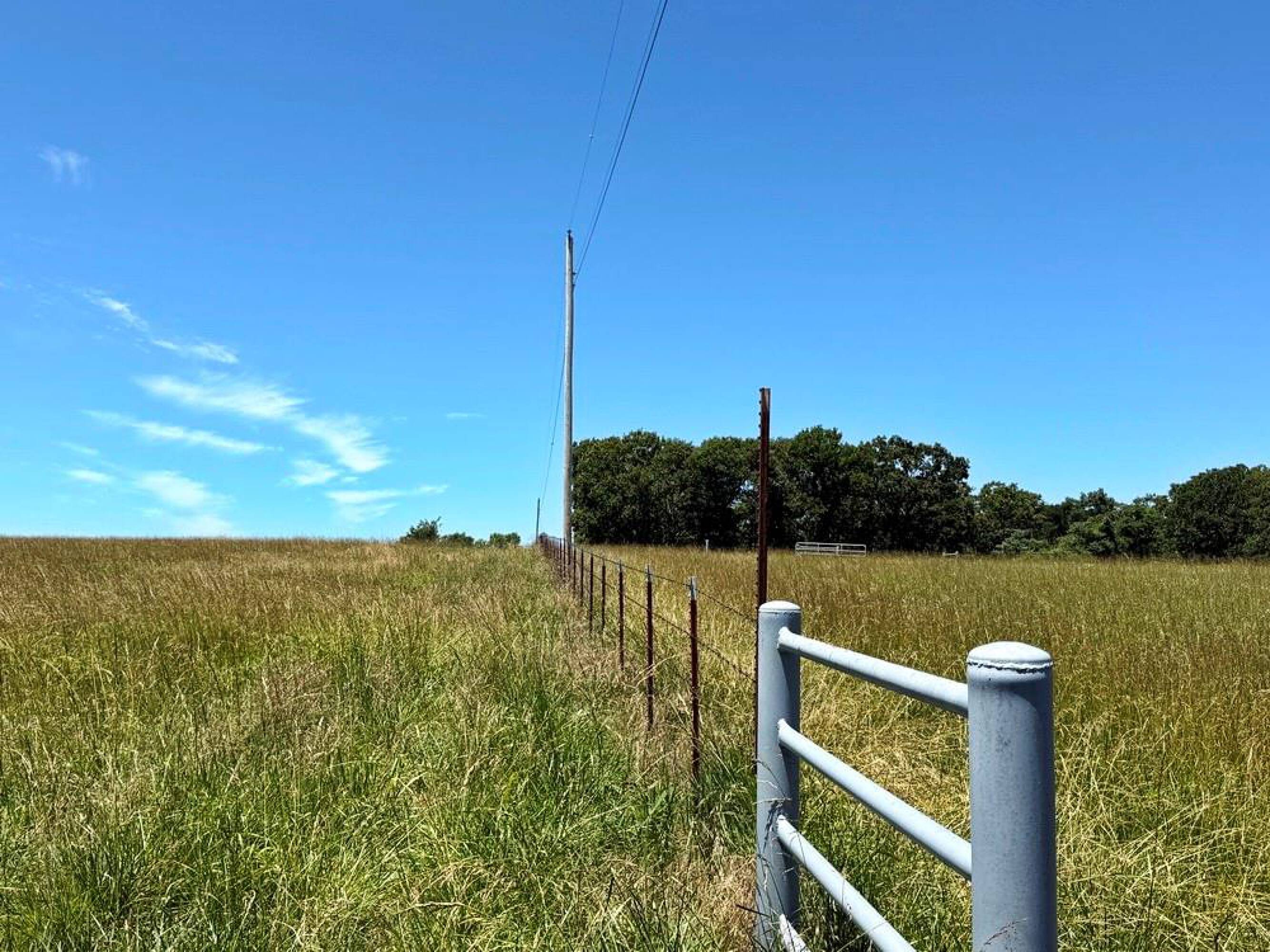
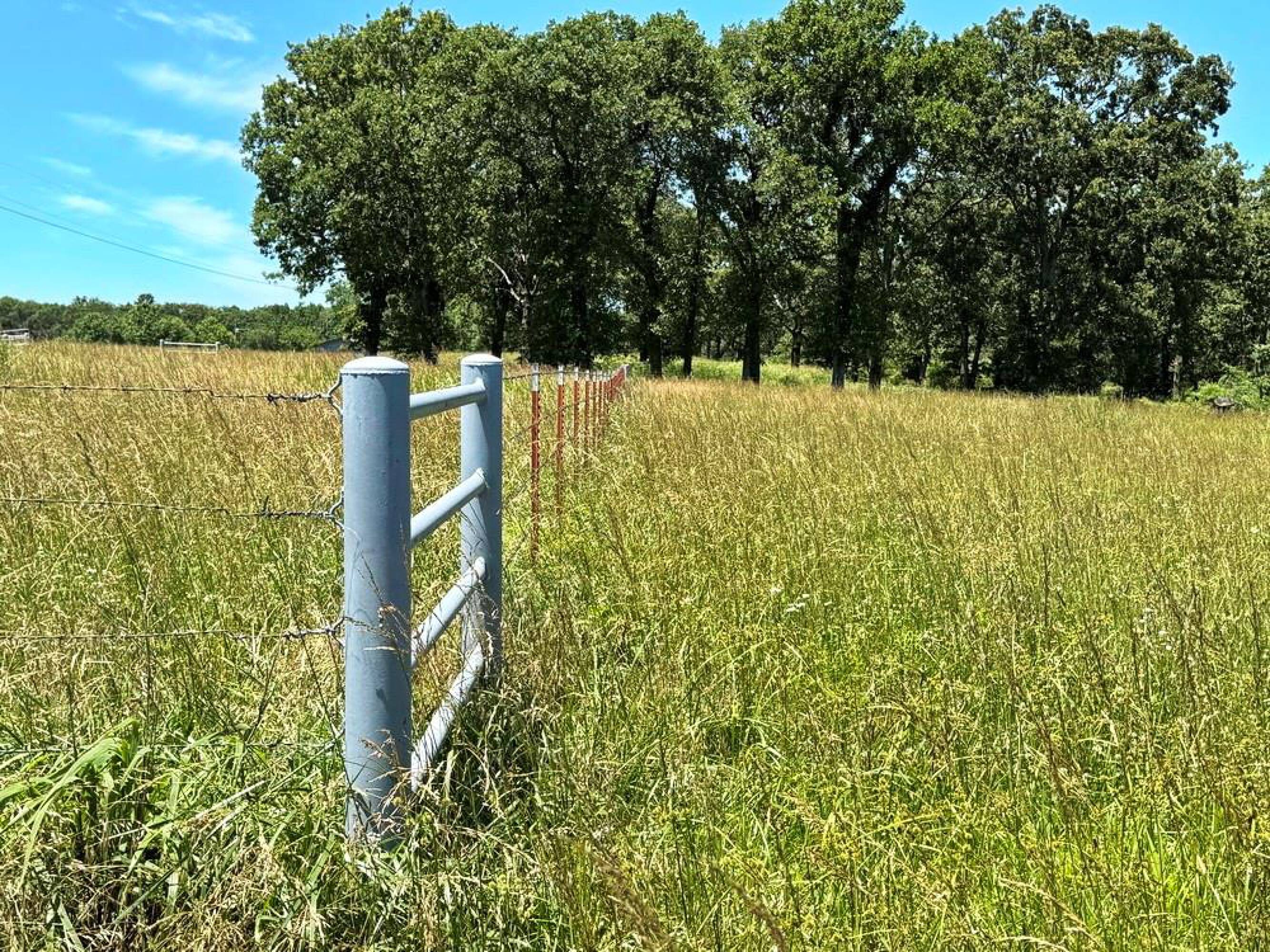
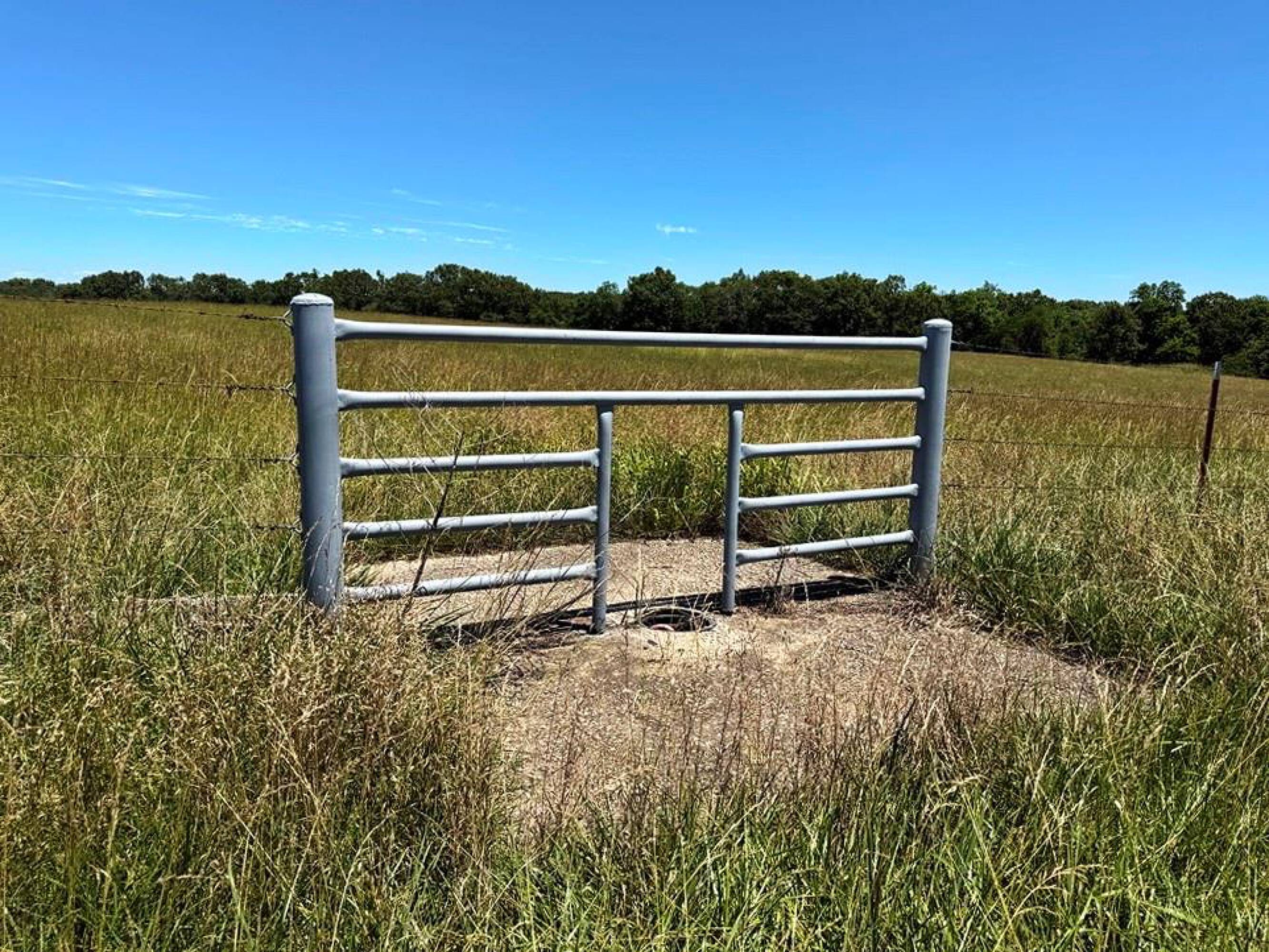
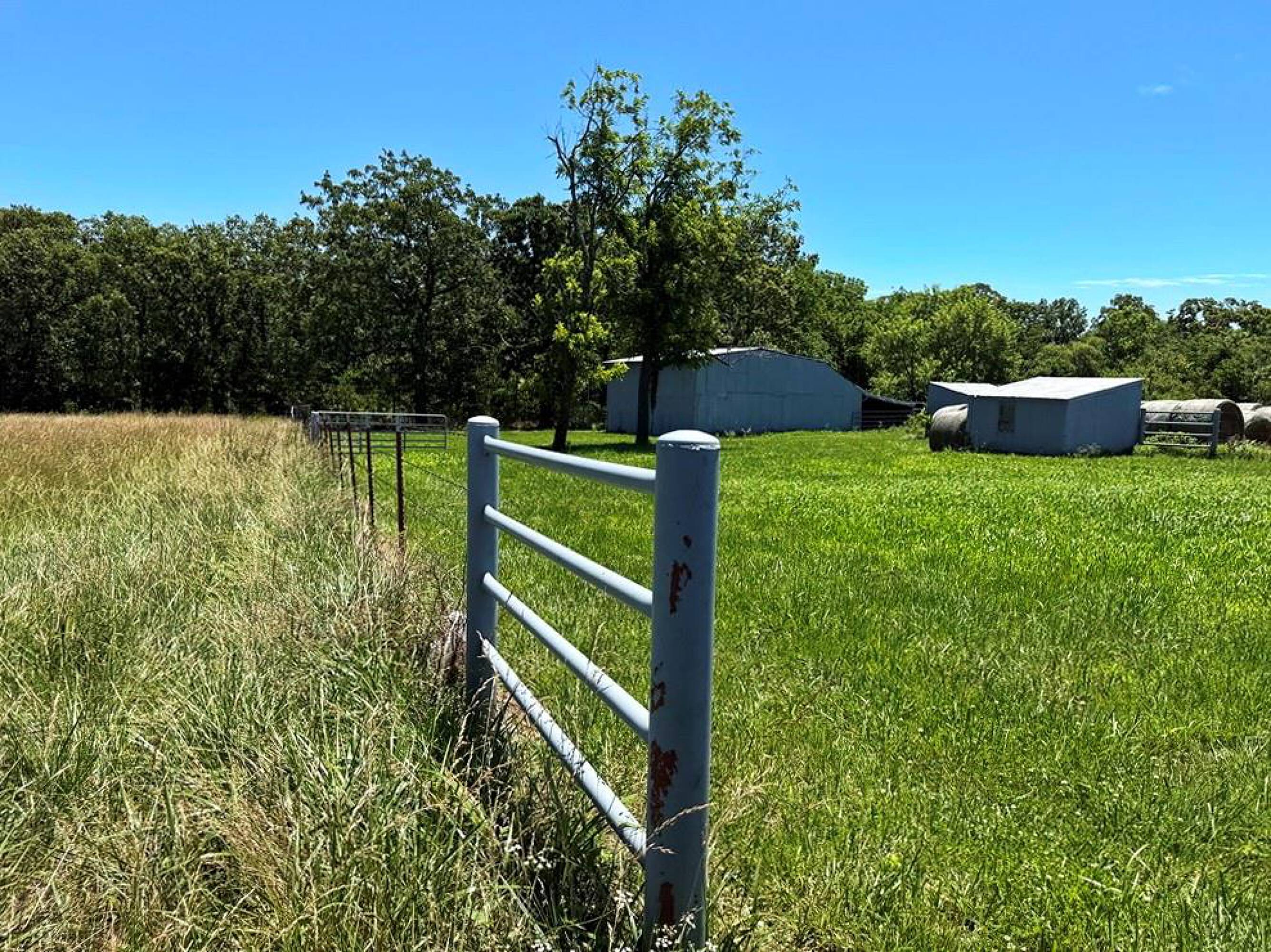
- Accessible via a double gate off the county road; includes fiber internet, electricity, and public water running along the road
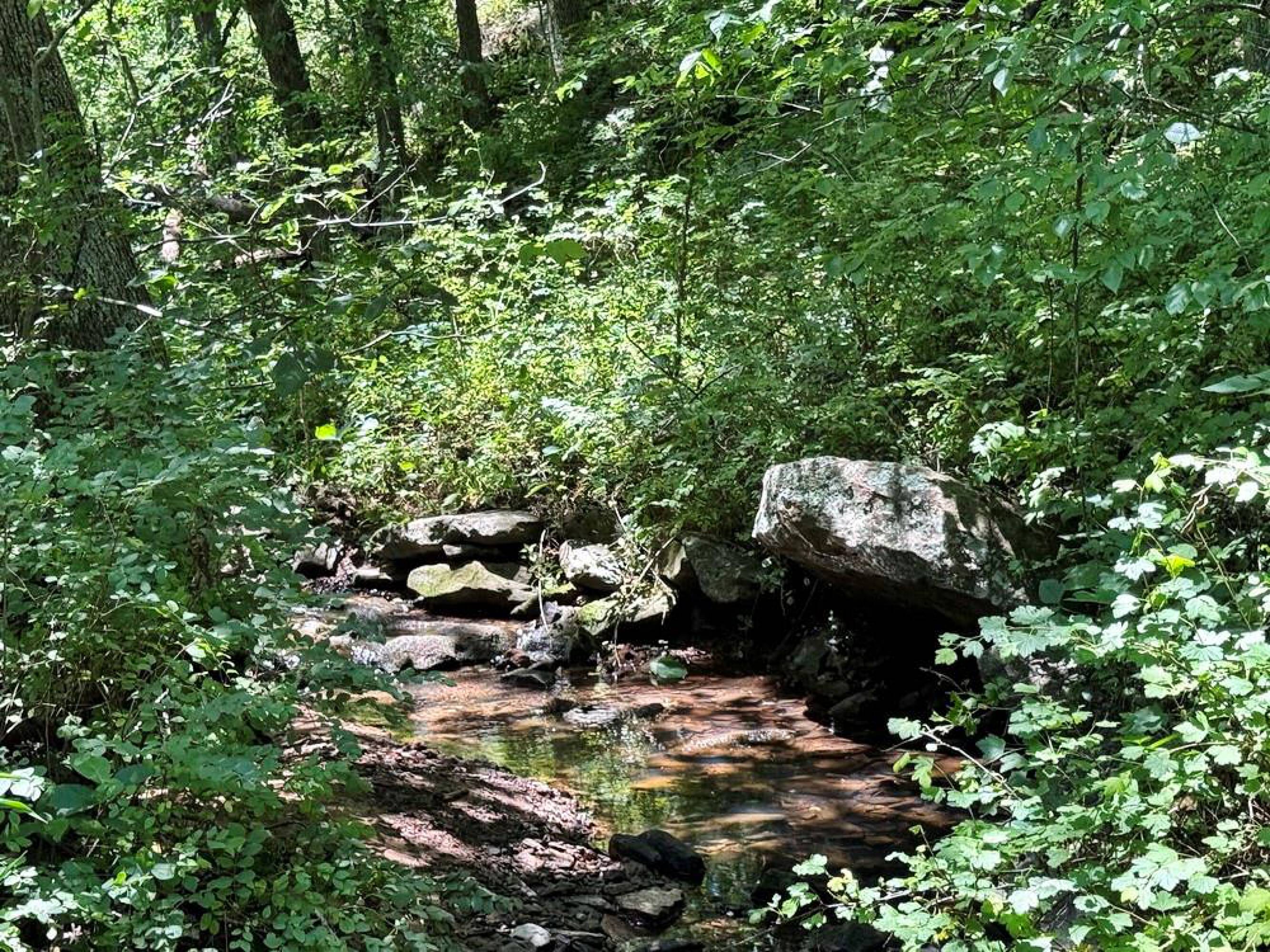
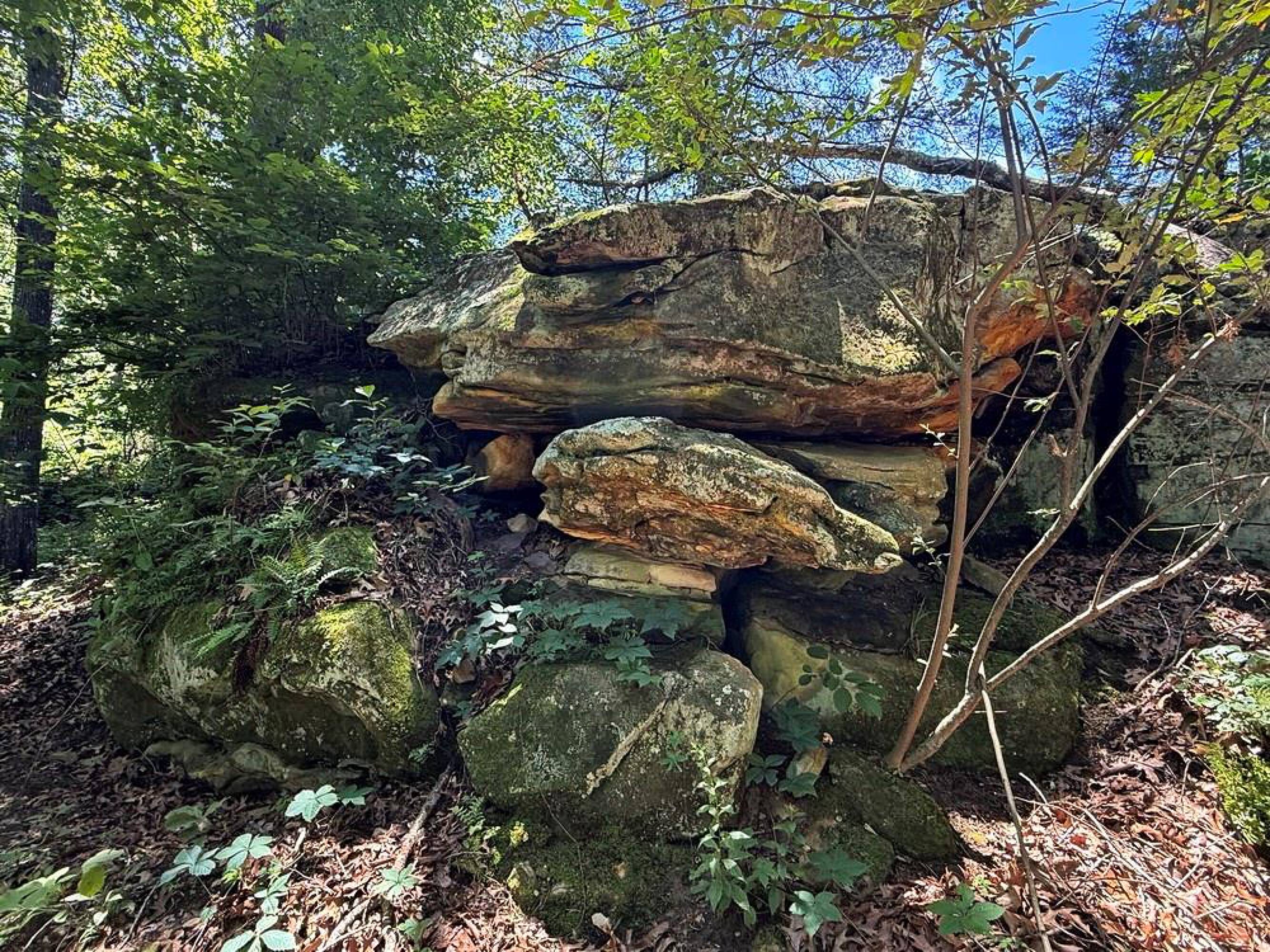
- Hidey‑hole bottom field area that would serve as a food plot location, surrounded by bluff and stream
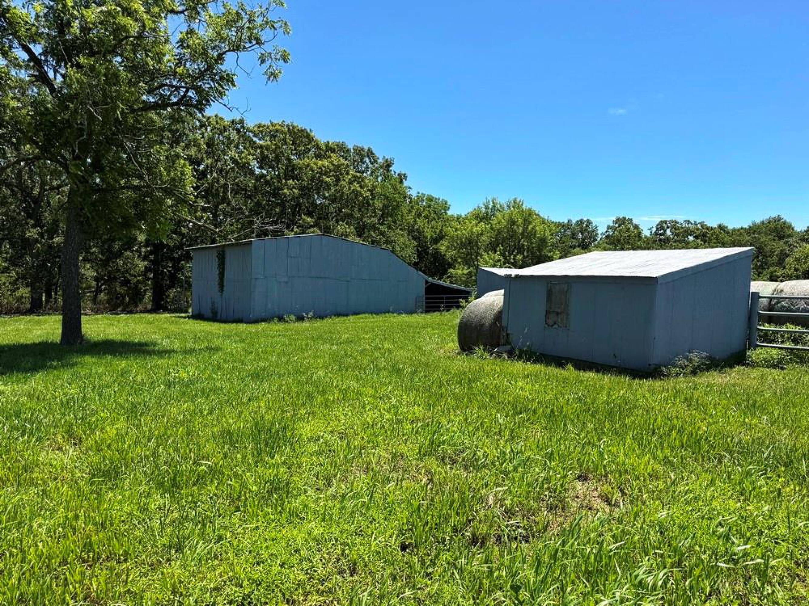
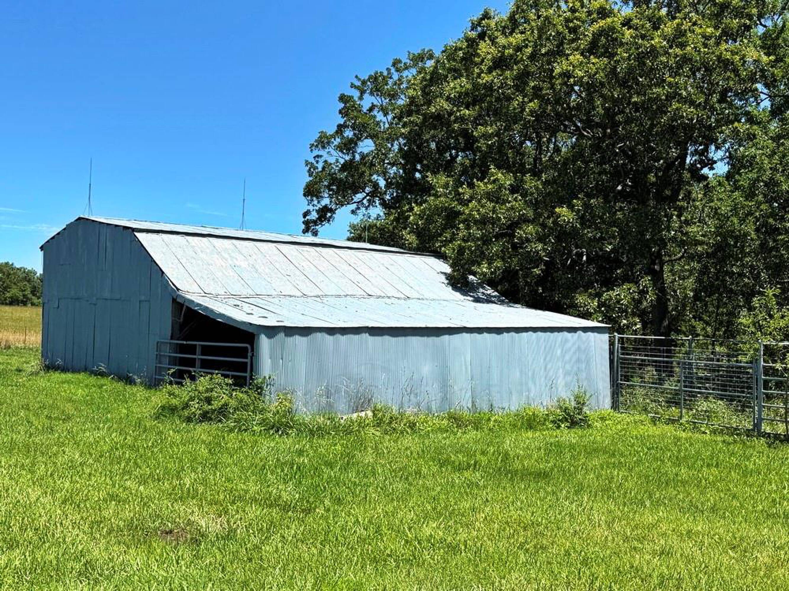
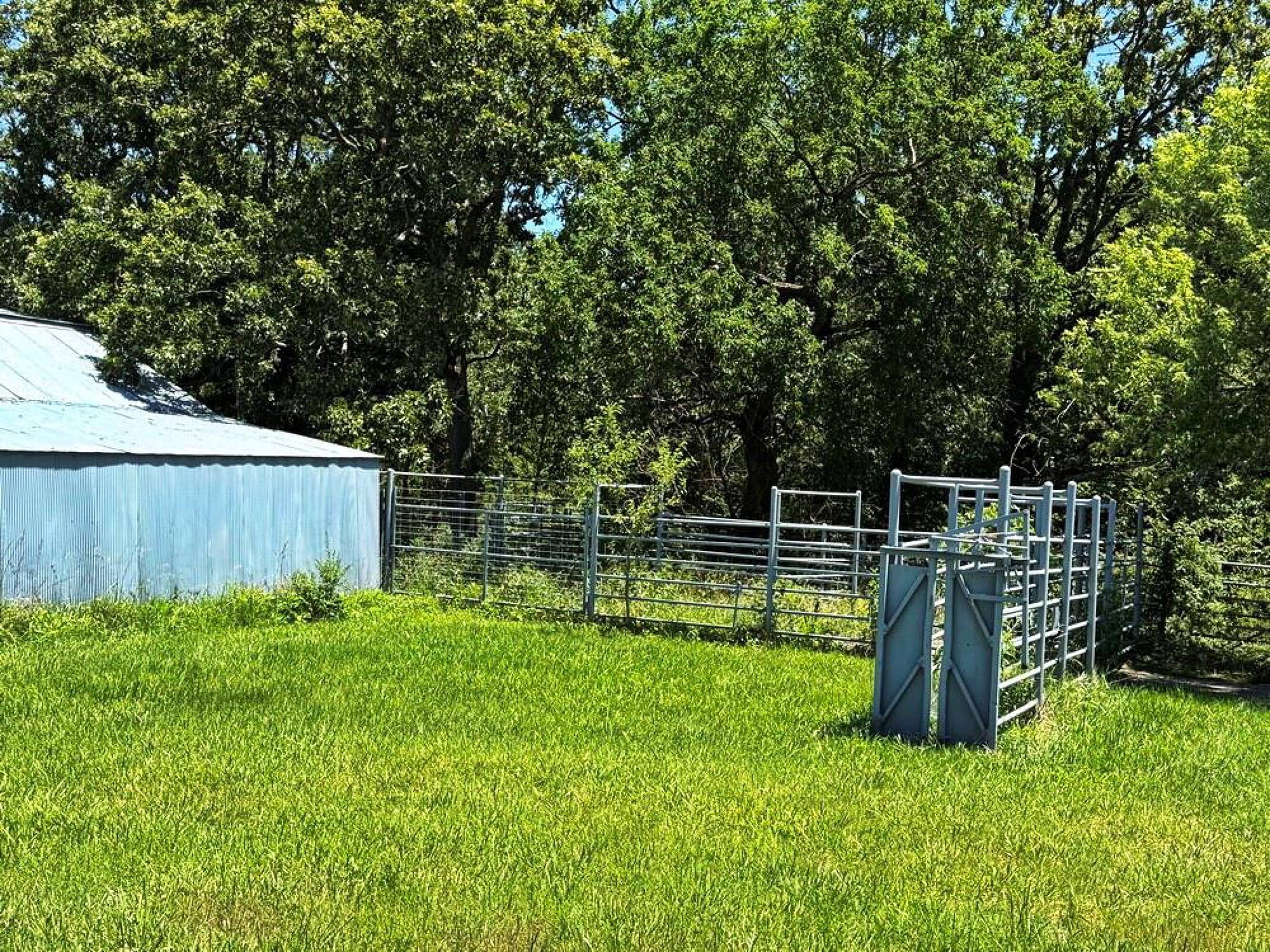
- Cattle‑tight fencing with pipe gates and paddocks, plus multiple outbuildings for grazing use
Overview
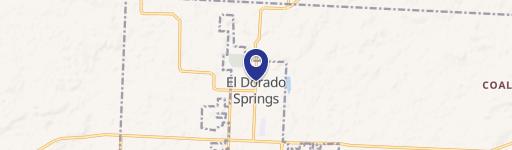
Access is provided via a double gate off the county road, and the property sits on a dead-end, paved road for added seclusion while still being close by—listed as about 1 mile northeast of El Dorado Springs. The remarks note fiber internet, electricity, and public water running along the road, which can reduce barriers for development planning.
This land is best suited for buyers who want both outdoor recreation and the option to build, with habitat diversity and a dedicated build-site location identified in the southeast corner. The combination of hunting-oriented cover, view-focused terrain, and existing fencing and paddock infrastructure can also support grazing-oriented use for the right operator.
Current Use by Public Records
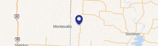
Location Insight
- Map
- Local Demand
- City
- El Dorado Springs
- County
- Cedar
- State
- Missouri
- Longitude
- -94.000446
- Latitude
- 37.868893