For Sale
$35,000
356 PHOENIX TERRACE, Labelle, FL 33935
Residential land & home lots
Property SizeContact for details
Days on Market15
Property Features for 356 PHOENIX TERRACE
General Information
Standard status
Active
Property subtype
Land
Amenities
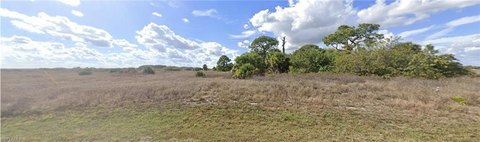
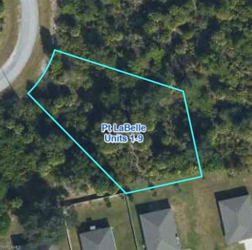
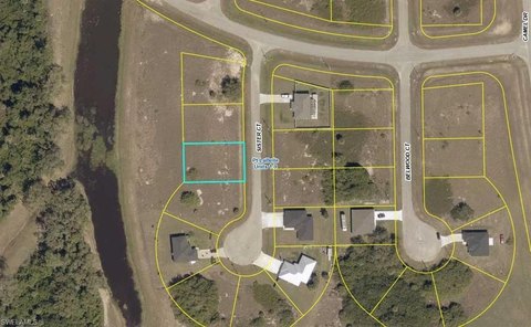
0.29 acres, Dimensions: 125 x 101, Buildable
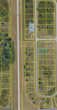
Additional parcels description:, Parcel Number: 4-29-43-10-130-2522-035.0, Public Survey Range: 29, Public Survey Section: 10, Annual Amount: $293.92, Tax Block: 2522, Tax Book Number: 517/1212, Legal Description: PORT LABELLE UNIT 13 BLK 2522 LOT 35, Lot: 35, Year: 2025, Zoning: RG3
Listing ID: MFRG5119260, Standard Status: Active, MLS Status: Active, On market as of 2026-10-20, Special Conditions: None
Living area units: Square Feet, Building faces West
Subdivision: PORT LA BELLE, MLS Area (Major): 33935 - Labelle, County/Parish: Hendry
BB/HS Internet Available, Cable Available, Electricity Available, Water Available, Water Source: Public
Close Of Escrow
Road Responsibility: Public Maintained Road, Road Surface: Paved
Listing Agency:
IAD REAL ESTATE
(407) 720-0020
Listed By:
Juan Quiles Marrero · License #3645032
(939) 258-2525
Source:
Miharaandassociates
Added: Oct 20
Changed: Nov 1
Last Checked: Nov 3 at 6:48AM
Displayed information is deemed reliable but is not guaranteed and should be independently verified. All listing content including descriptions, pricing, images are the copyrighted material of IAD REAL ESTATE

Ask AI about this property
Review the available facts, identify missing information and prepare questions for the agent.
Location Intelligence
Trade Area within ½ mile
Explore this area
Business Placement
Demographics for 33935, FL
22,718
Population
8,905
Households
2.6
Avg Household Size
35
Median Age
13%
College-Educated
68%
High-School Grad
363.5 sq mi
ZIP Area
62
Density / Sq Mi
$50,184
Median Household Income
$35,412
Median Earnings
$996
Median Rent
$192,500
Median Home Value





Frequently Asked Questions
Where is this residential land & home lot located?
The property is located at 356 PHOENIX TERRACE Labelle, FL.
What is the asking price?
The asking price for this property is $35,000.