Conservation Easement Farmland
3480 Airport Road Andrews, NC 28901
For Sale
$1,200,000
Protected farmland with a defined build envelope supports farming and low-impact agritourism concepts with limited impervious coverage.
Property Size4,470,998 SF
Lot Size102.64 Acres
Price / SF$0.27
Days on Market340
Property Features for 3480 Airport Road
General Information
- Standard status
- Active
- Size
- 4,470,998 SF
- Lot size
- 102.64 Acres
- Property subtype
- Land
Listing Agency:
Nantahala Real Estate
(954) 608-9441
Listed By:
Allison Ralph · License #305318
(954) 608-9441
Source:
Compass
Added: Aug 19, 2025
Changed: Jul 10
Last Checked: Jul 23 at 8:09AM
Displayed information is deemed reliable but is not guaranteed and should be independently verified. All listing content including descriptions, pricing, images are the copyrighted material of Nantahala Real Estate
Investment Insights
Based on property information with market context.
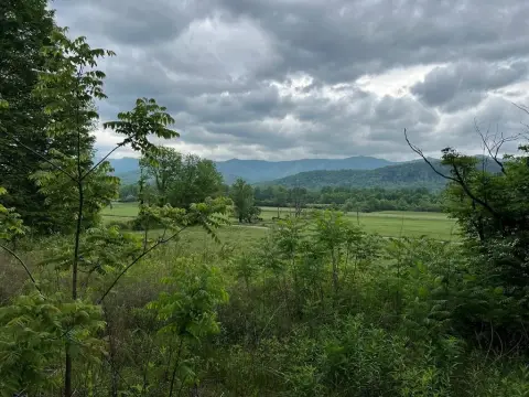
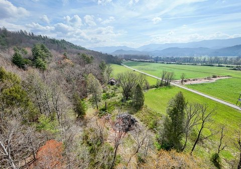
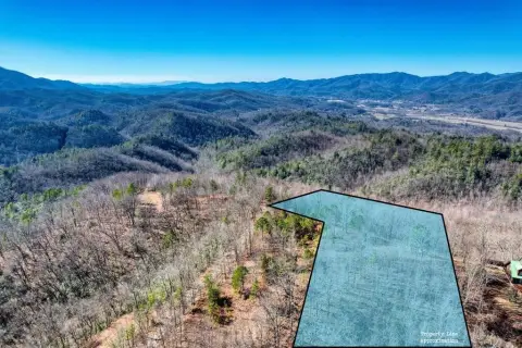
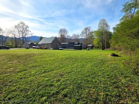
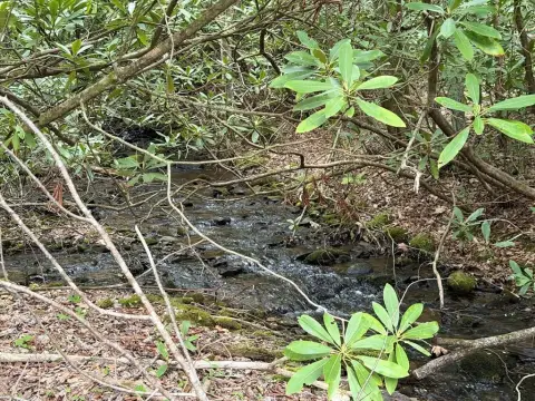
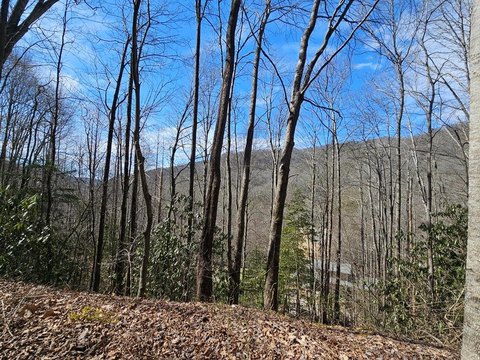
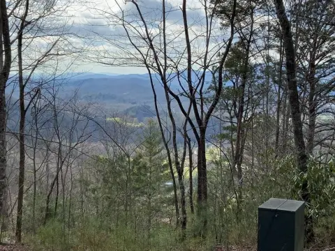
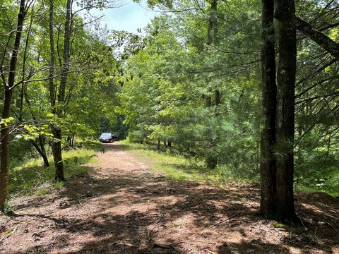
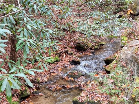
This property consists of a conservation-easement farmland and woodland tract along the Valley River, totaling 102.64 acres. The land is protected in perpetuity by Mainspring Conservation Trust, with a stated focus on preserving natural beauty, wildlife habitat, woodland, and open vistas. A 7.27-acre farmstead building envelope is included, where new agricultural structures may be built subject to approval. The original homesite is also available for redevelopment, though the homestead is described as unsalvageable, and a fallen barn is noted as offering potential for vintage barnwood sales. A historic family cemetery is excluded from the easement. The property also carries a 2% impervious surface limit, approximately 1.83 acres.
The setting is described as Andrews Valley, with outdoor recreation opportunities associated with the Valley River, including hiking, fishing, hunting, and birdwatching. The seller notes livestock on-site, and requests appointments prior to viewing.
For buyers seeking a working-rural environment with conservation protections, the combination of farmland, woodland, riparian habitat, and an approved path for agricultural structures may align well with farming, grazing, or horse uses, as well as nature-oriented, low-impact agritourism concepts. The remarks indicate the potential for up to seven special events annually, such as harvest celebrations or square dances, subject to the applicable framework and approvals.
Key Highlights
- 102.64‑acre property with farmland, woodland, and riparian habitat along the Valley River in Andrews Valley
- 91.4‑acre conservation easement protected in perpetuity by Mainspring Conservation Trust
- 7.27‑acre farmstead building envelope allows new agricultural structures (subject to approval)
Property Analytics
Property Profile
Location Intelligence
Current Use by Public Records
Hunting land


FAQs
What type of property is this?
Agricultural land / Farmland - Protected farmland with a defined build envelope supports farming and low-impact agritourism concepts with limited impervious coverage.
Where is this agricultural land / farmland located?
The property is located at 3480 Airport Road Andrews, NC.
What is the asking price?
The asking price for this property is $1,200,000.
What are key features of this property?
This property features: 102.64‑acre property with farmland, woodland, and riparian habitat along the Valley River in Andrews Valley; 91.4‑acre conservation easement protected in perpetuity by Mainspring Conservation Trust; 7.27‑acre farmstead building envelope allows new agricultural structures (subject to approval)


