3406 US 64, Waterflow, NM 87421

- Added:
- Jun 16, 2026
- Days on Market:
- 11
- Last Refresh:
- Jun 26 at 6:06 pm
Property Features for 3406 US 64
General Information
- Property type
- Land
- Property subtype
- Other
- Interior features
- Pantry
- Standard status
- Active
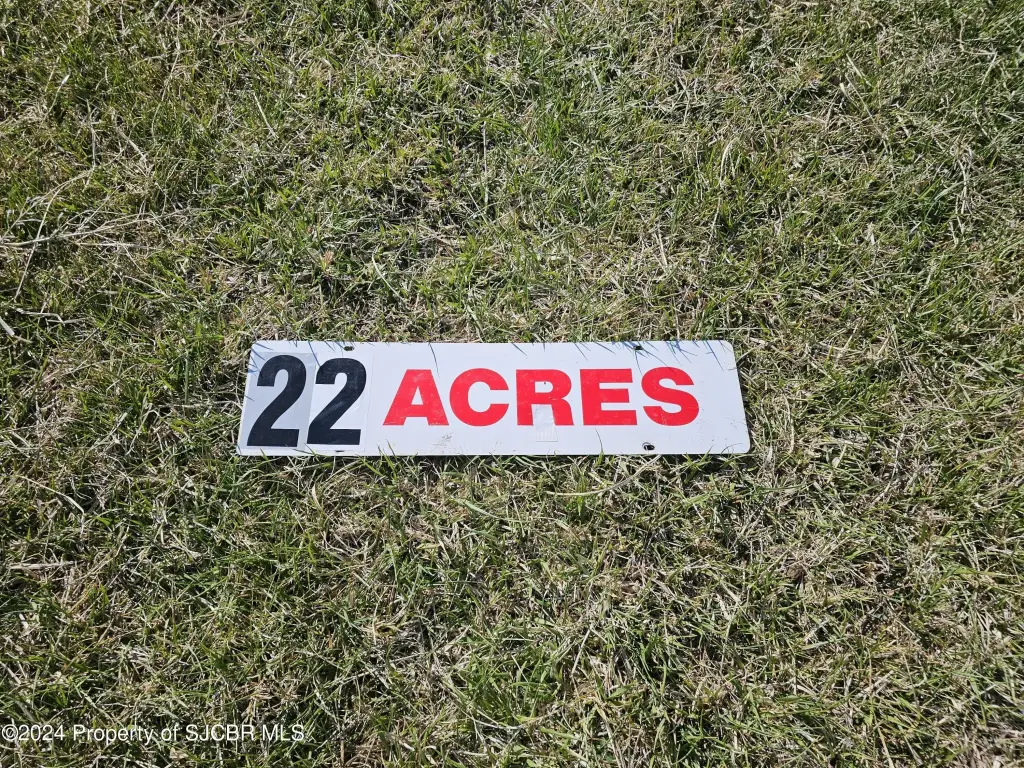
- Lot size
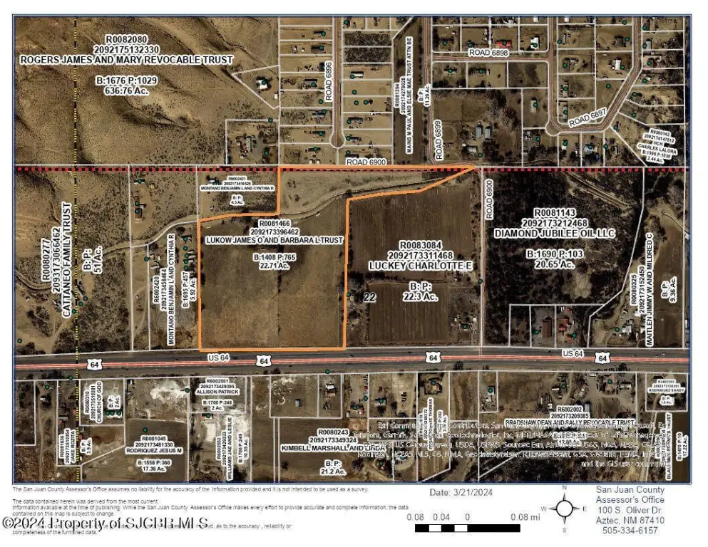
- 22.71 Acres
Taxes and HOA fees
- Tax Description
- TRACT 1 BEG A NW COR OF SEC 02 29 16, S 307.69 FT AND E 1312.96 FT, THENCE S86'27'W 91.86 FT, N88'50'W 194.93 FT, S81'56
- Tax Annual Amount
- 2680

Listing agent Kara Wood License #14284 (505) 598-5818
Listing office Kirtland Realty 453 Co Rd 6100, Kirtland, NM (505) 598-5818
Listing date Jun 16, 2026
Copyright © 2026 San Juan County Board of Realtors. All rights reserved. All information provided by the listing agent/broker is deemed reliable but is not guaranteed and should be independently verified.
HighLights
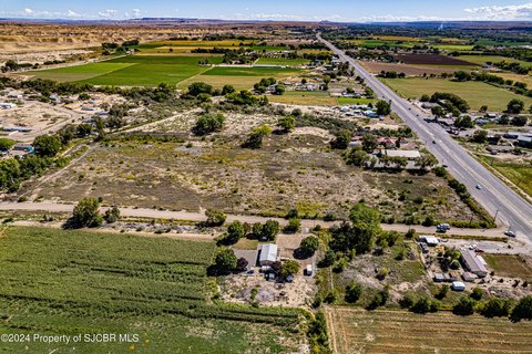
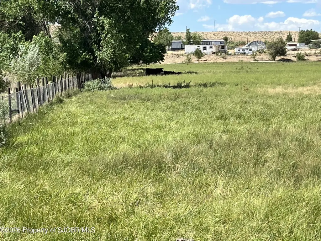
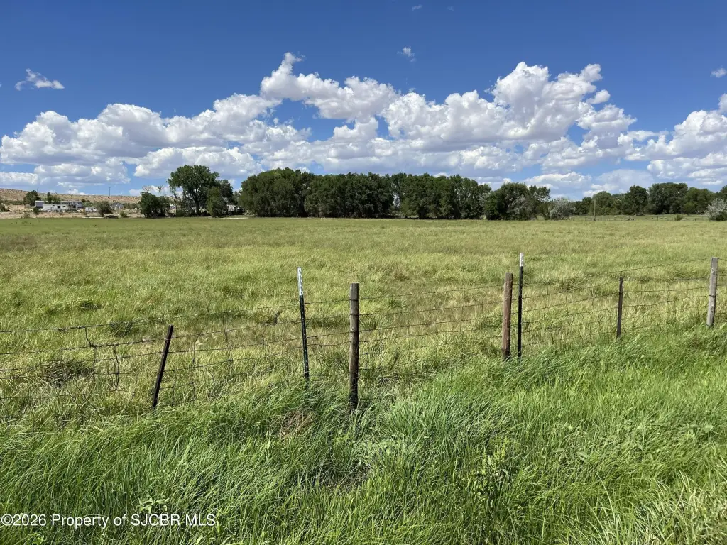
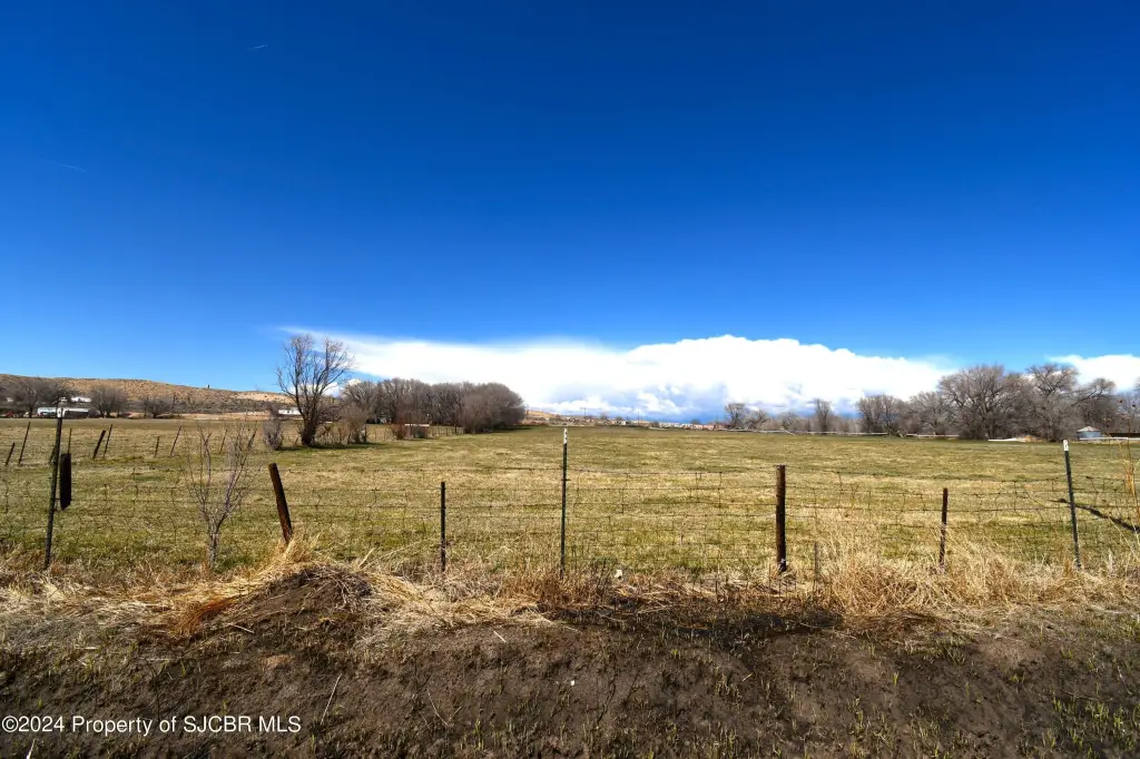
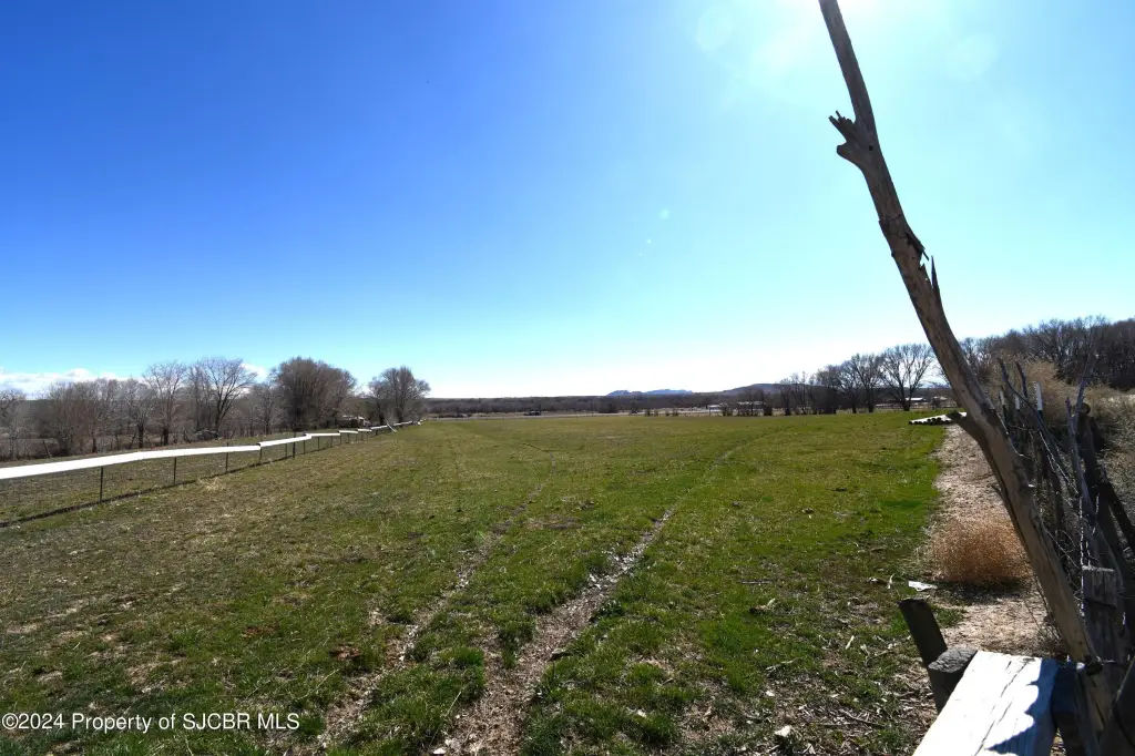
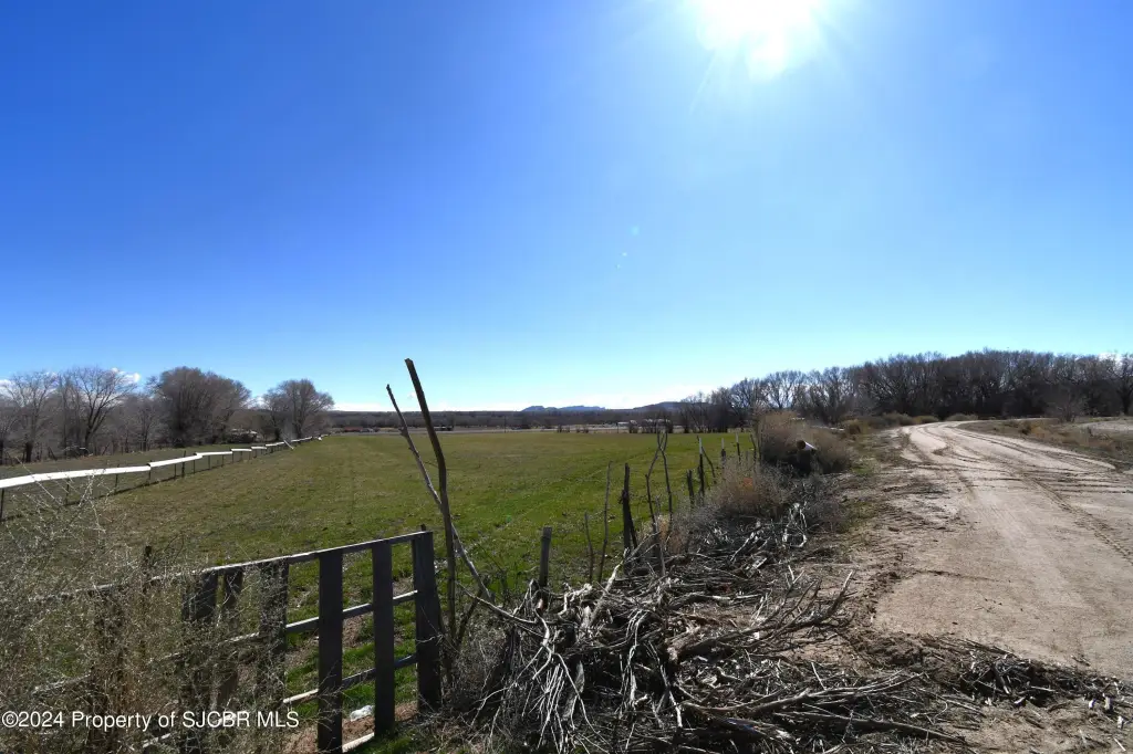
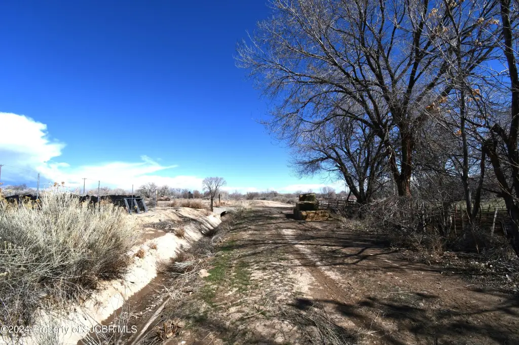
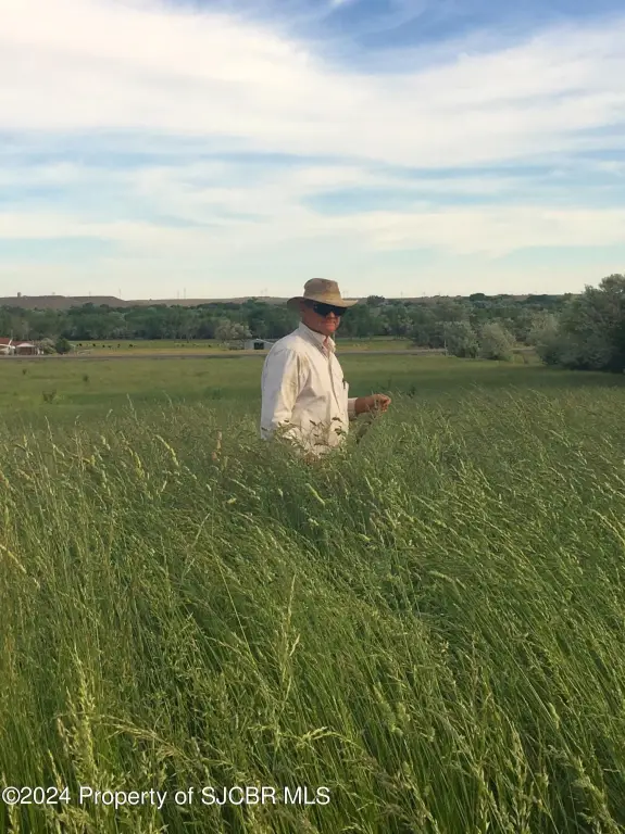
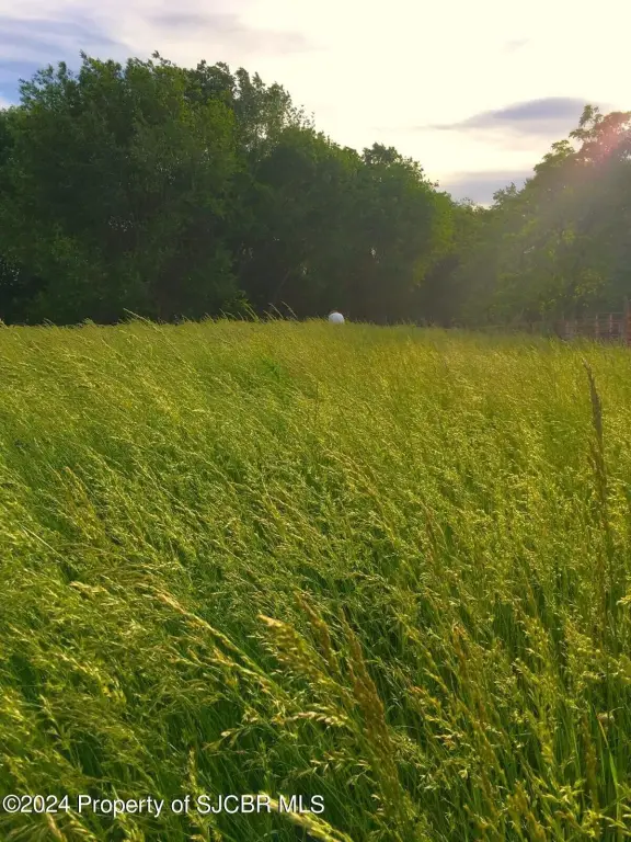
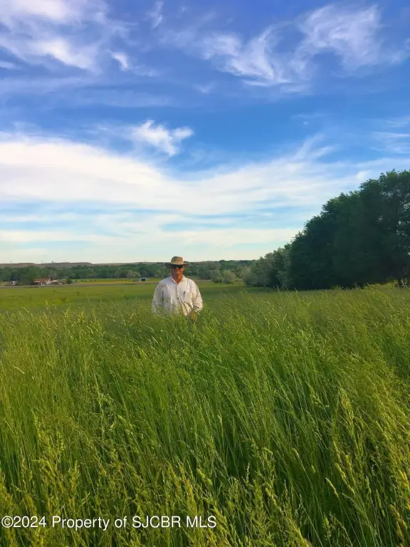
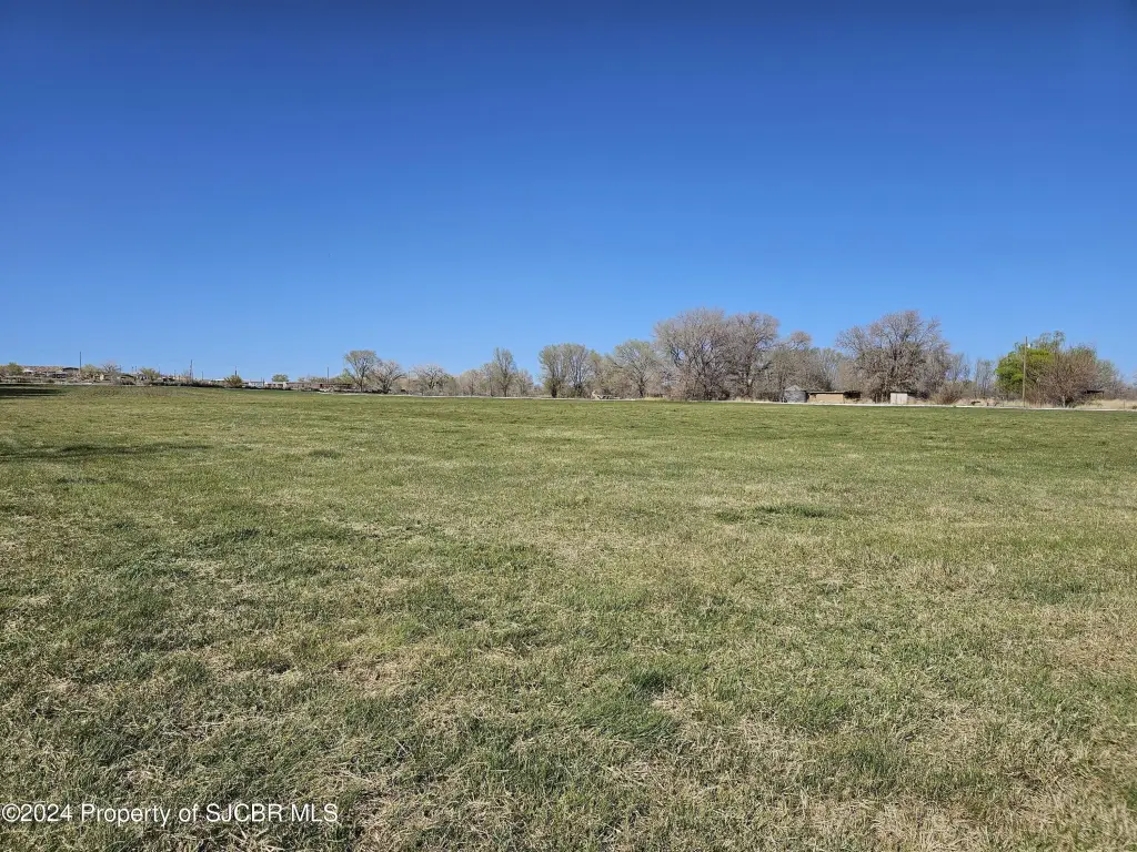
- 22.7 acres in Waterflow, currently in agricultural use with potential for subdivision or development for commercial or residential uses
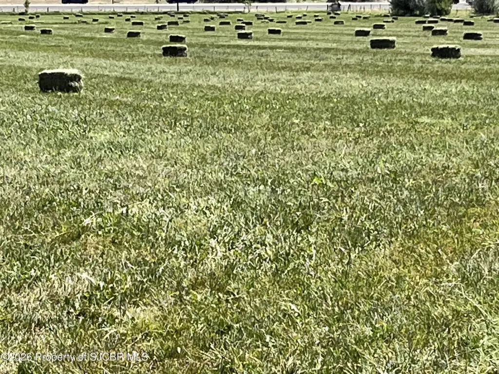
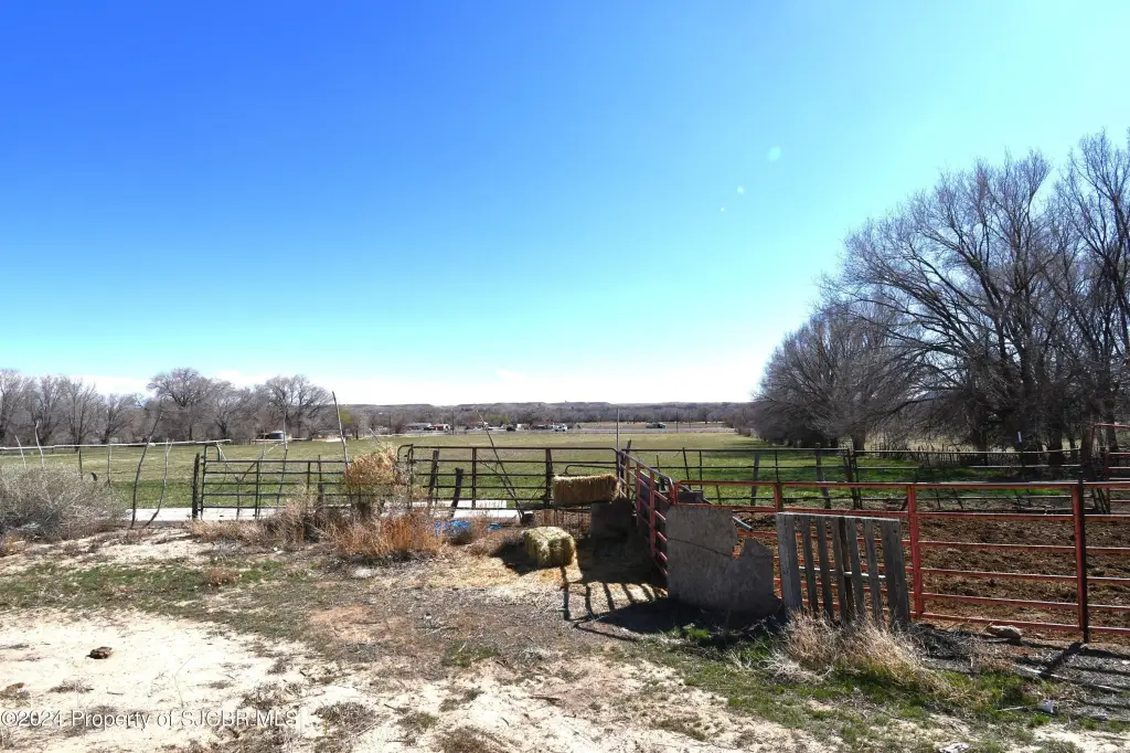
- Approximately 17 acres in grass hay and pasture irrigated with Jewett Valley Ditch Water via a concrete lined ditch with 1878 irrigation priority
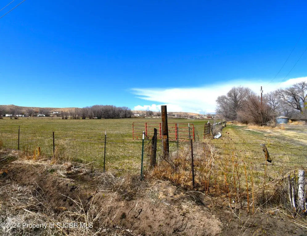
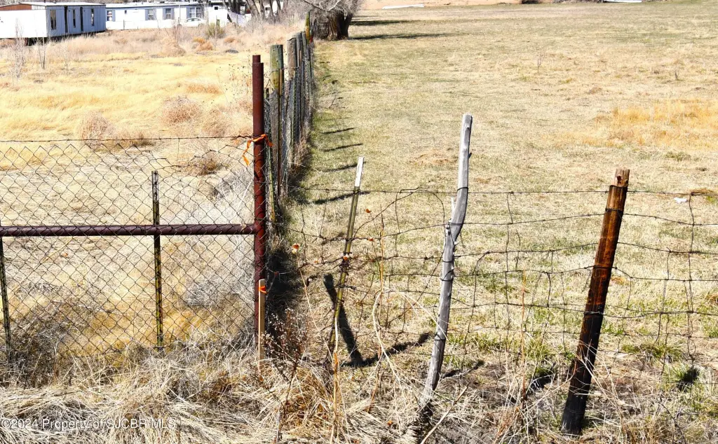
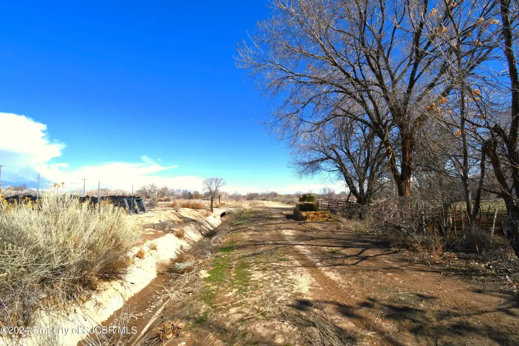
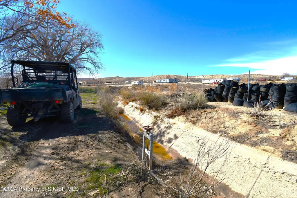
- Irrigation infrastructure includes headgate, several valves, and pipe (negotiable); property is cross‑fenced for livestock rotation and management
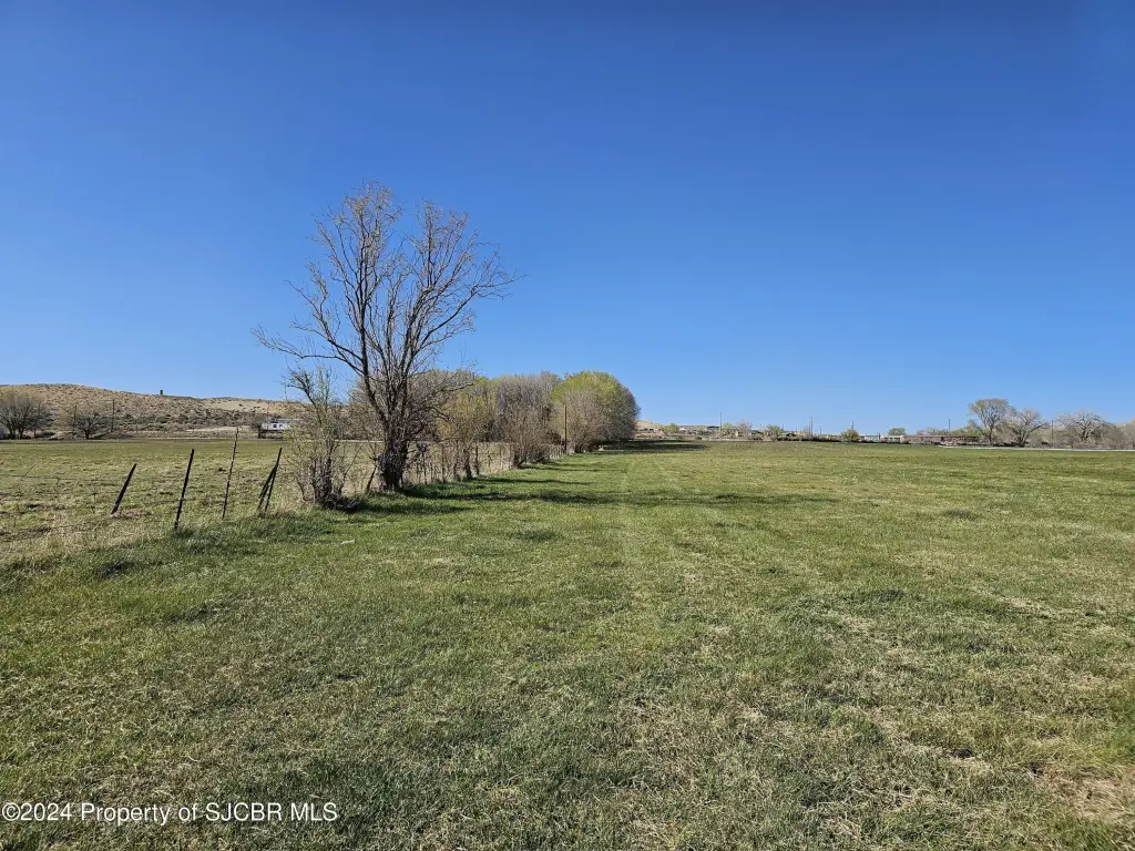
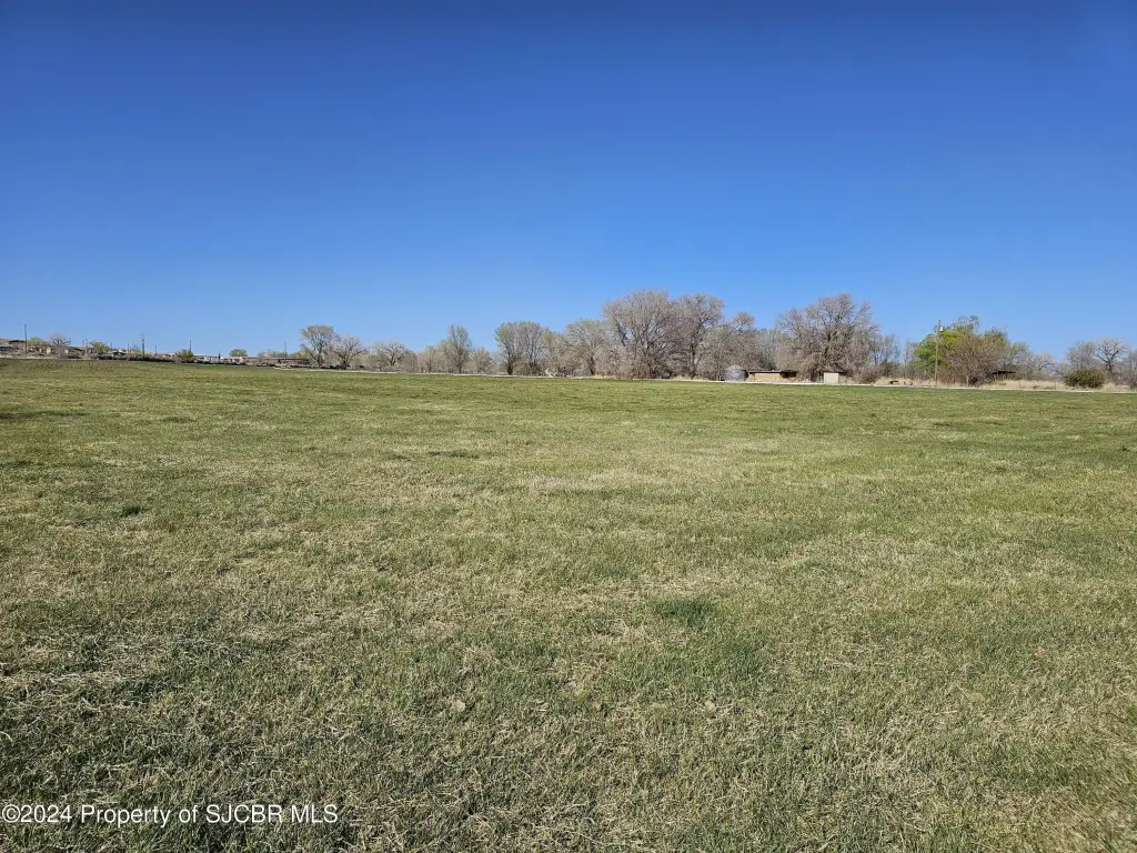
- About 4 acres north of the ditch are not irrigated and could make a building site
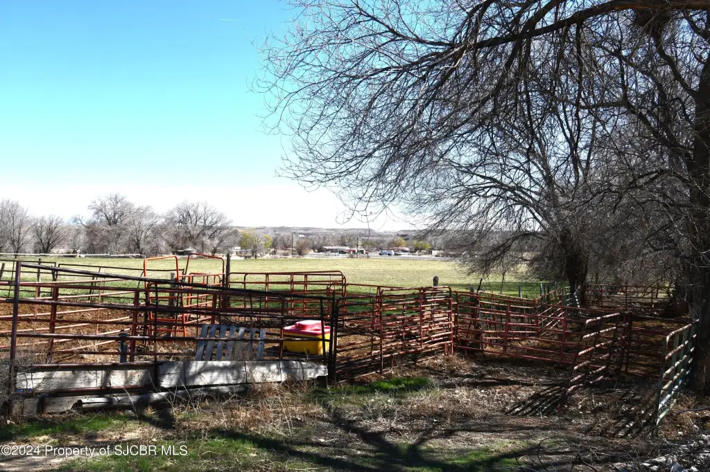
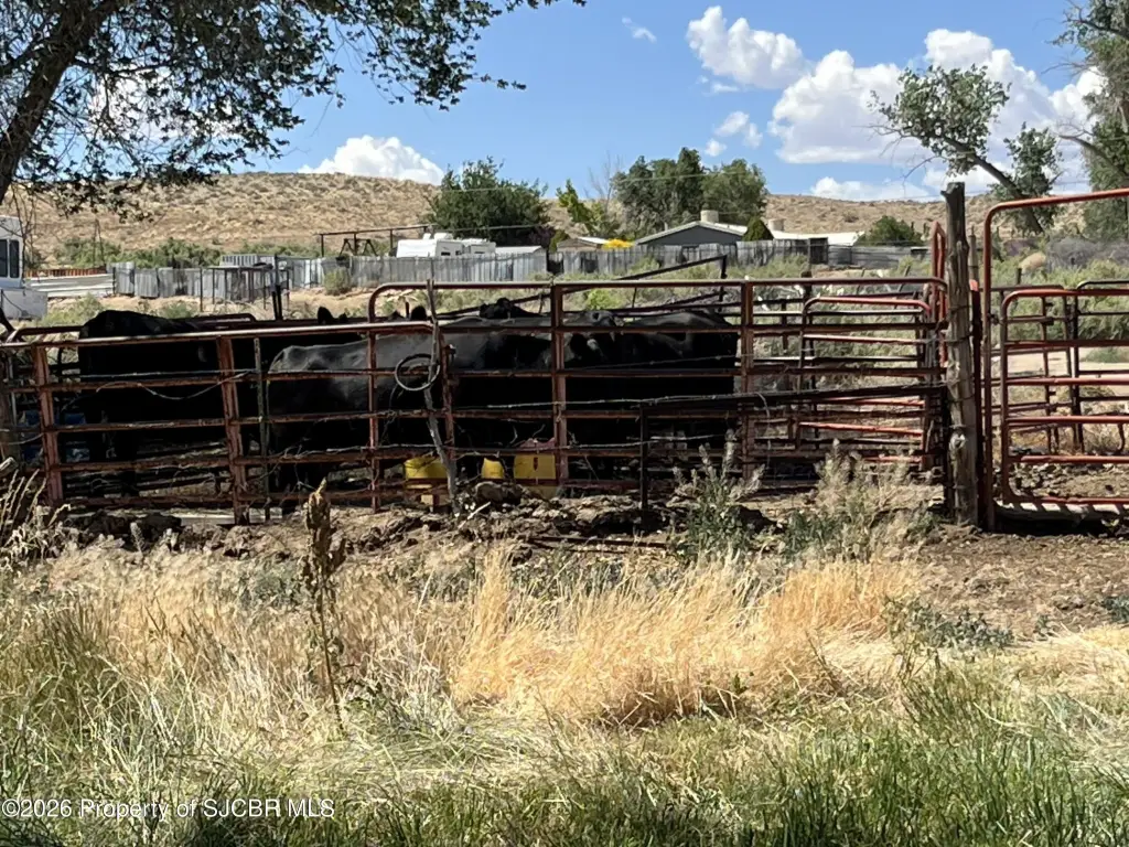
- Property has access to electricity and two Lower Valley Water lines including a meter, plus livestock facilities (corrals, pens, feeders, frost‑free spigot, Richie 4 hole waterer)
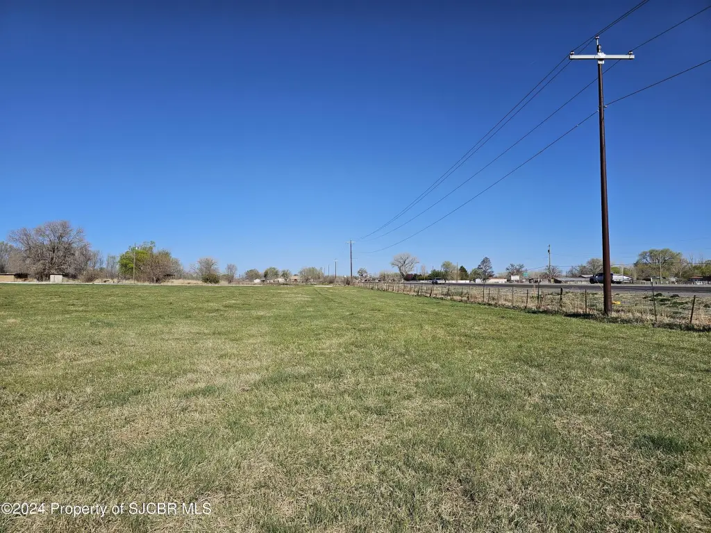
- Approximately 895 ft of highway frontage on US 64 with access from Road 6900 at the northeast corner/northern boundary; no mineral rights convey
Overview
The property has approximately 895 feet of highway frontage on US 64 and access from Road 6900 along the northeast corner and northern boundary. Utility access includes electricity. Water service includes two Lower Valley Water lines with a meter.
For buyers looking for an operational ranch setup, the property includes corals, pens, feeders, and water equipment for year-round stock management, including a frost-free spigot and a Richie 4-hole waterer. For buyers exploring a change in use, the seller notes the land could be subdivided or developed for commercial or residential uses; the listing also states that no mineral rights convey and that buyers should verify taxes for their intended use.
Current Use by Public Records
Map
- City
- Waterflow
- County
- San Juan
- State
- New Mexico
- Longitude
- -108.498474
- Latitude
- 36.761912