Agricultural Land with
330th Avenue, Chariton, IA 50049
For Sale
New
Contact for pricing
Land, Chariton, IA
Property SizeContact for details
Lot Size89.89 Acres
Days on Market3
Property Features for 330th Avenue
General Information
Property type
Property subtype
Zoning
Elementary school district
Middle school district
High school district
Directions
Subdivision
Standard status
APN
Lot size
Taxes and HOA fees
Tax Description
Tax Annual Amount
Legal Description
Listing Agency:
Peoples Company
(515) 222-1347
Listed By:
Adam Curran · License IA S56876000
(641) 203-2931
Added: Nov 11
Changed: Nov 13
Last Checked: Nov 13 at 11:06PM
MLS# 752835
Copyright © 2026 Des Moines Area Association of REALTORS®, Inc. All rights reserved. All information provided by the listing agent/broker is deemed reliable but is not guaranteed and should be independently verified.

Ask AI about this property
Review the available facts, identify missing information and prepare questions for the agent.
Investment Insights
Based on property information with market context.
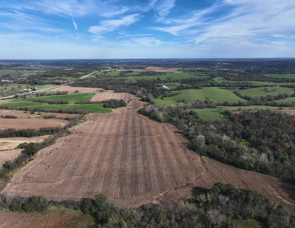
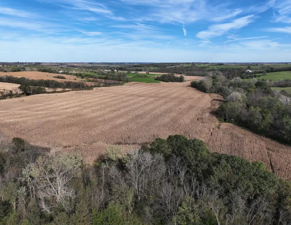
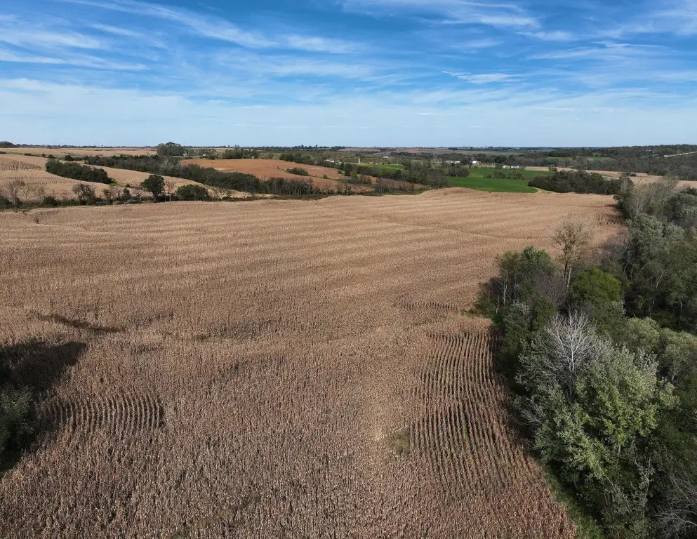
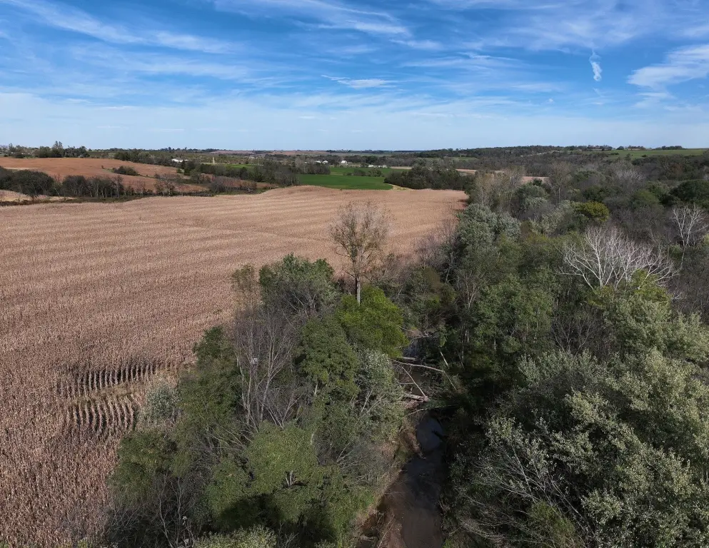
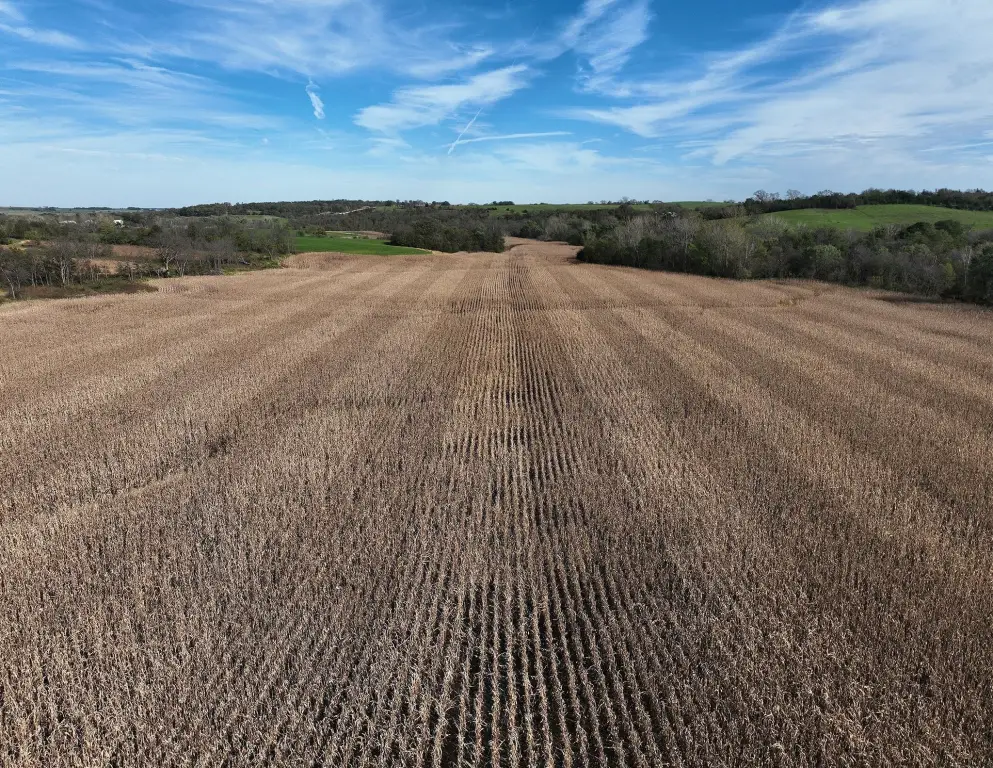
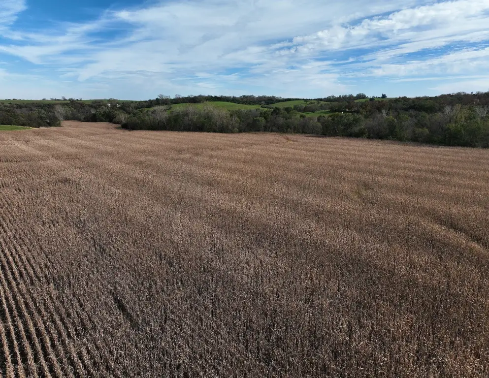
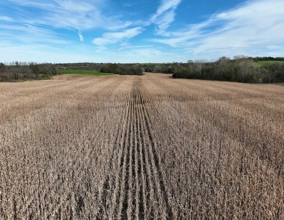
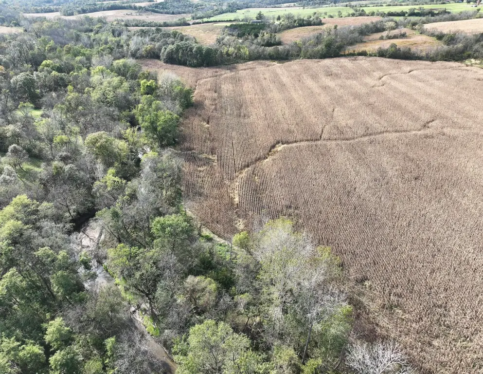
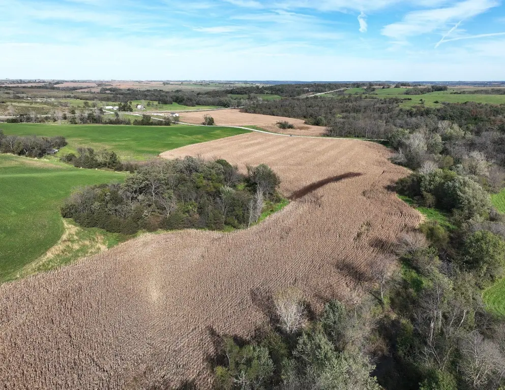
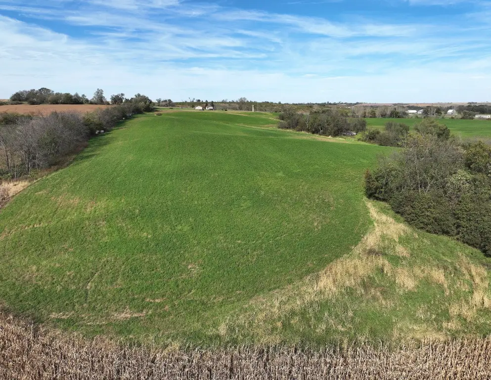
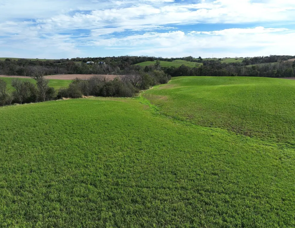
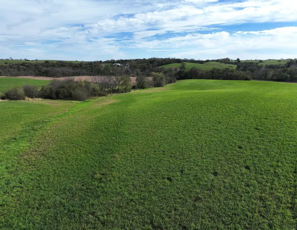
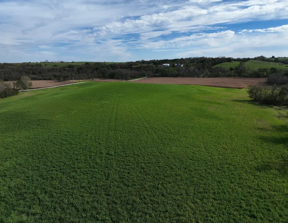
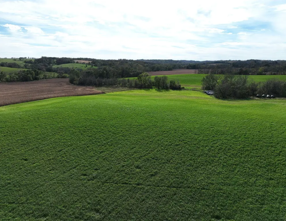
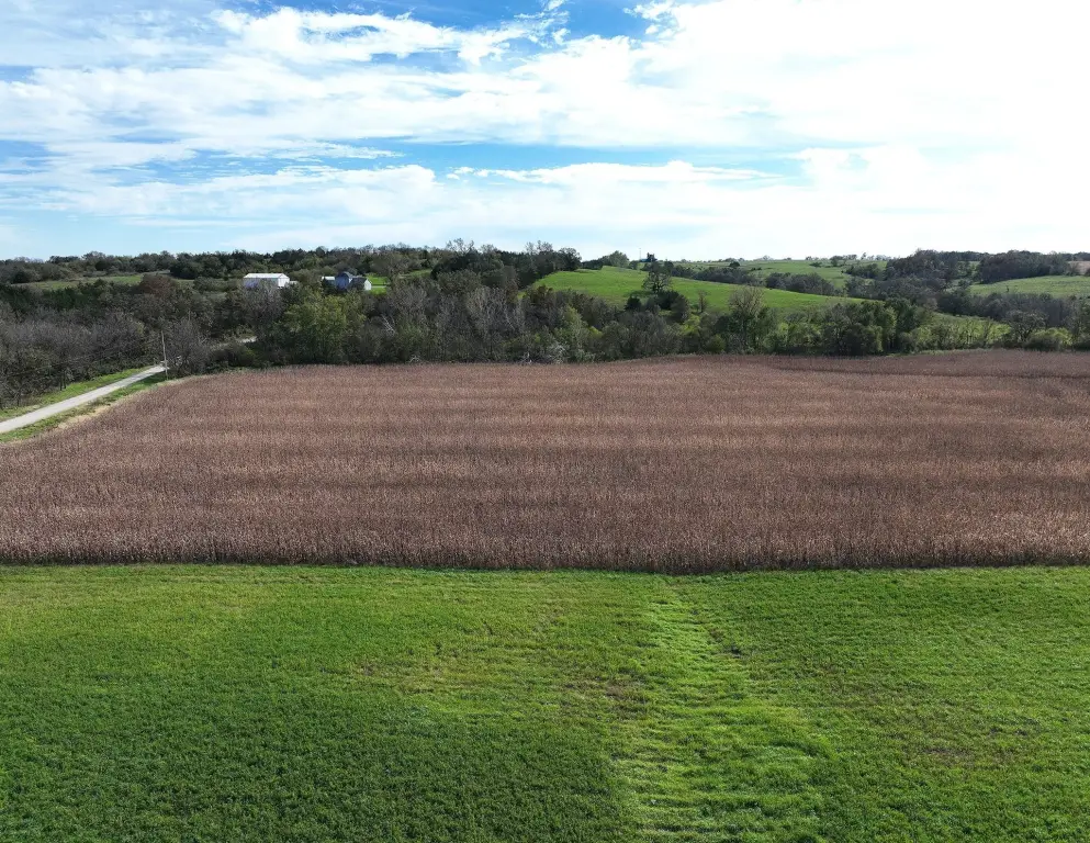
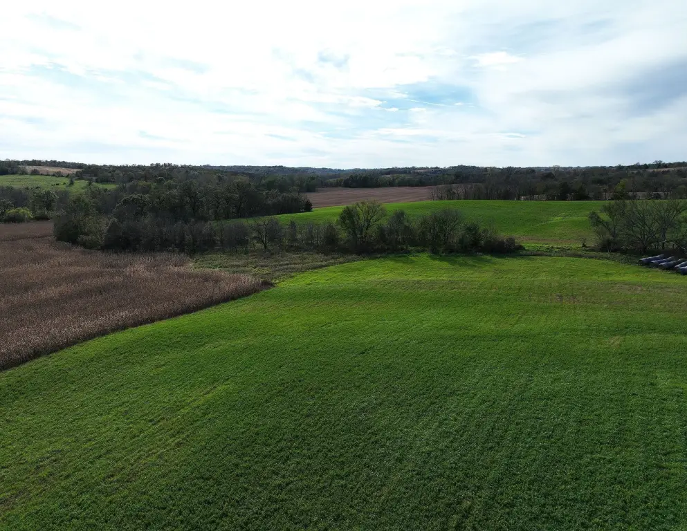
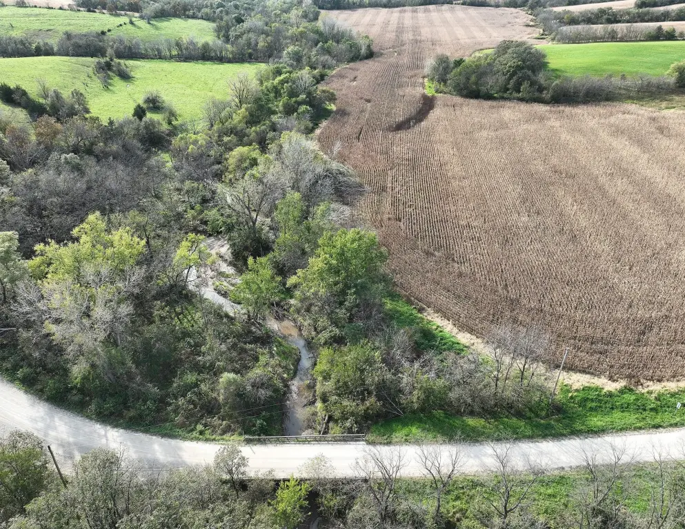
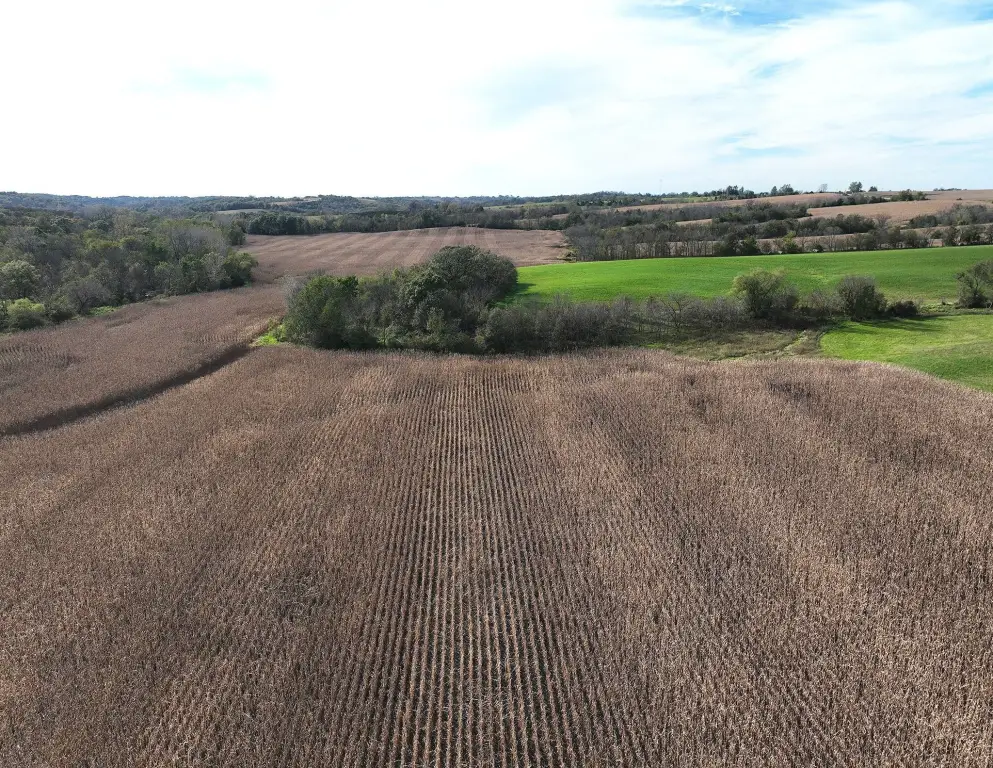
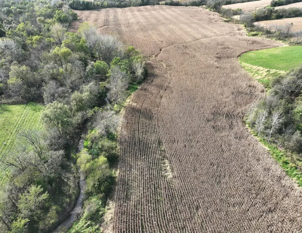
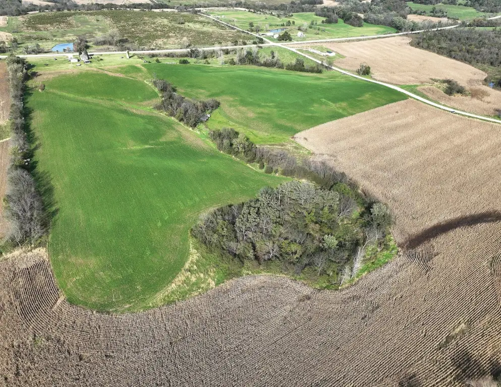
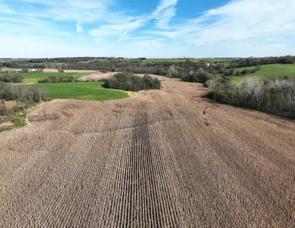
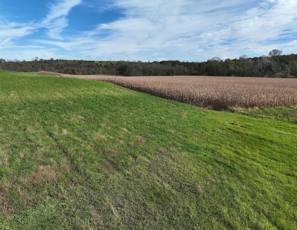
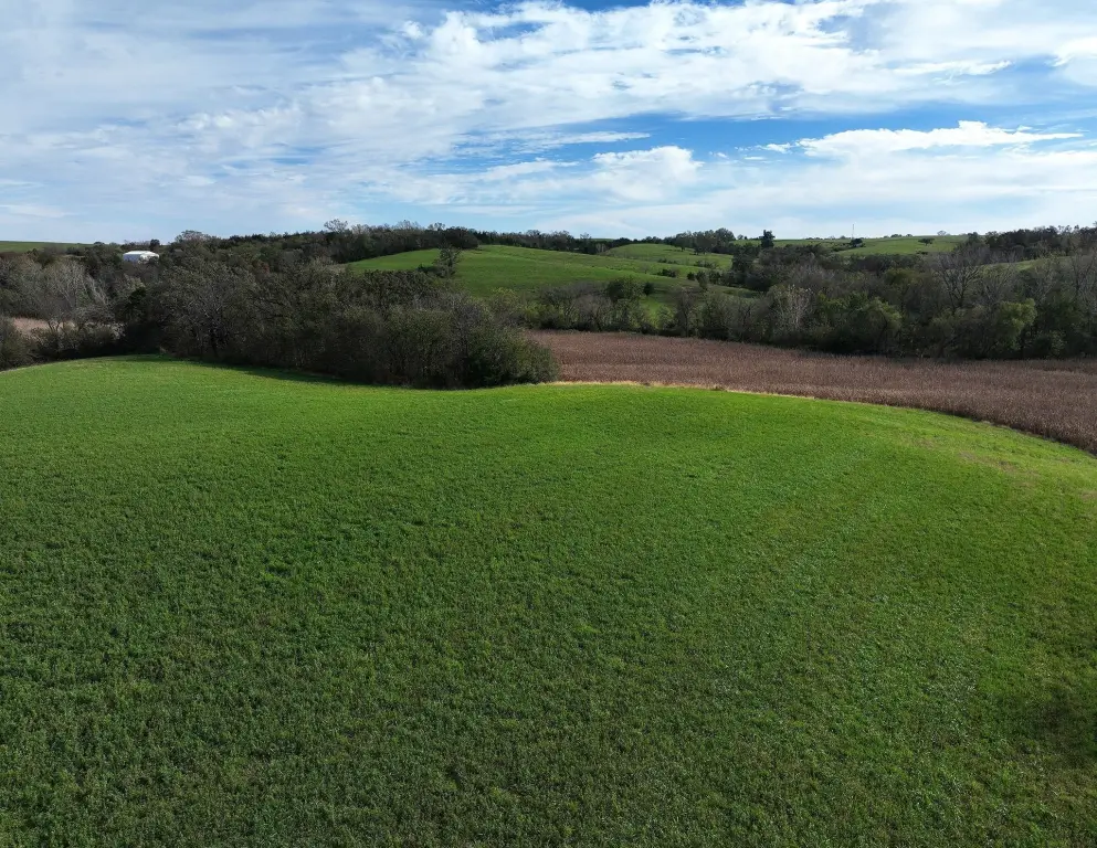
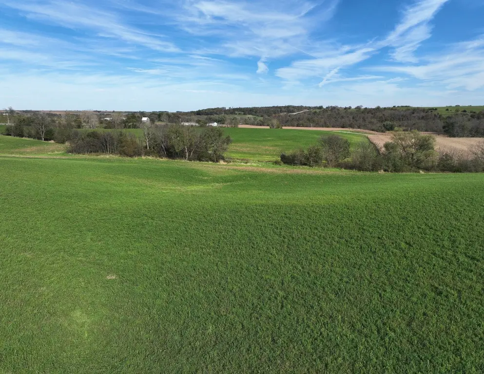
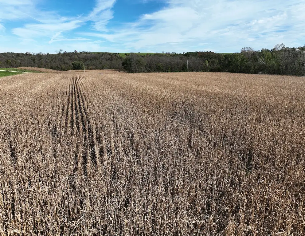
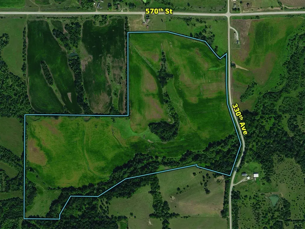
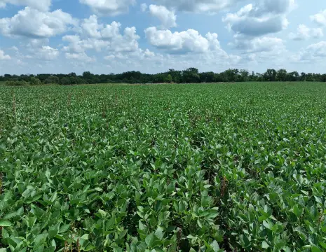
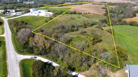
This 89.89-acre agricultural property includes 71.84 FSA cropland acres, with a mix of row-crop and hay production. FSA records show a 50.1 average CSR2 rating, 26.58 corn base acres, and 38.11 soybean base acres. Rolling ground, wooded draws, and natural travel corridors add varied terrain across the tract.
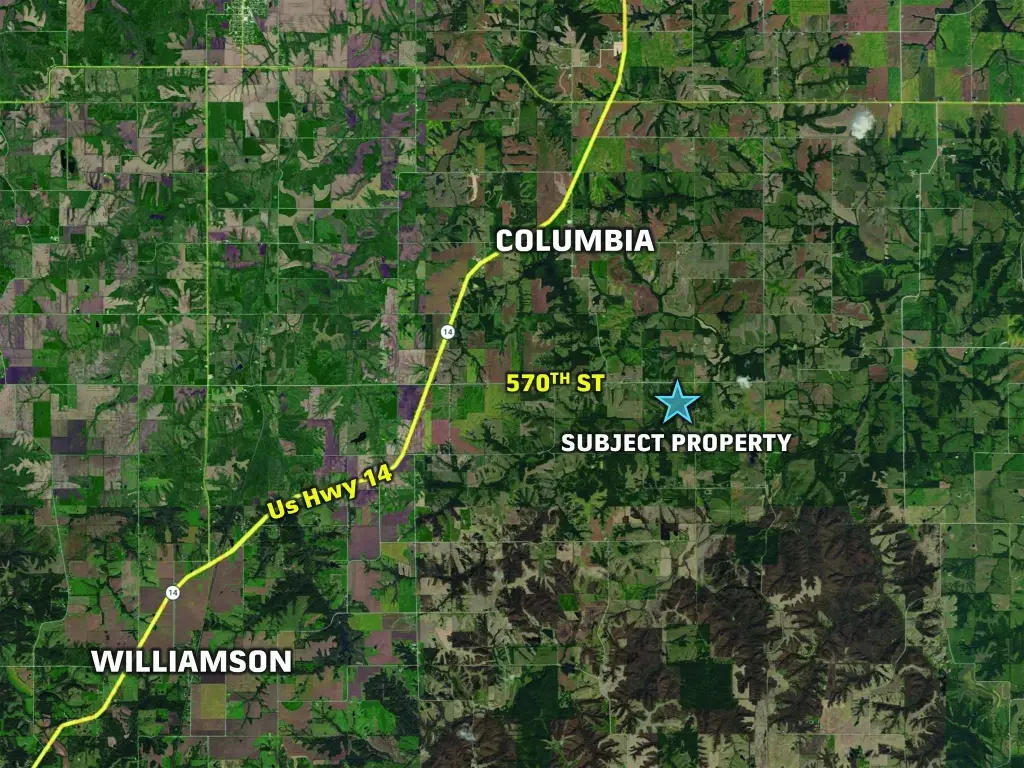
The property fronts 330th Avenue in Pleasant Township, Lucas County, southeast of Columbia, Iowa. Its existing farm lease has been terminated, and the land is available for the 2027 crop season. The tract is scheduled for sale at public auction on December 4, 2026, at 10:00 AM, with online bidding also offered.
The property fronts 330th Avenue in Pleasant Township, Lucas County, southeast of Columbia, Iowa. Its existing farm lease has been terminated, and the land is available for the 2027 crop season. The tract is scheduled for sale at public auction on December 4, 2026, at 10:00 AM, with online bidding also offered.
Key Highlights
- 89.89 acres with 71.84 FSA cropland acres
- Average CSR2 rating of 50.1; FSA records show 26.58 corn base acres and 38.11 soybean base acres
- Mix of row‑crop and hay ground, timbered draws, and rolling terrain
Property Analytics
Who owns this building?
See the owner, sales and loan history
Open Analytics
Current Use
Location Intelligence
Trade Area within ½ mile
Explore this area
Business Placement
Demographics for 50049, IA
6,433
Population
2,869
Households
2.2
Avg Household Size
43
Median Age
16%
College-Educated
93%
High-School Grad
208.6 sq mi
ZIP Area
31
Density / Sq Mi
$66,750
Median Household Income
$39,411
Median Earnings
$731
Median Rent
$123,700
Median Home Value
Check the figures for this property
Cap Rate, Value Estimation, Potential NOI and more
View Realmo Analytics




Frequently Asked Questions
What type of property is this?
Agricultural land / Farmland - Ag-zoned acreage combines row-crop fields, hay ground, and timbered draws.
Where is this agricultural land / farmland located?
The property is located at 330th Avenue Chariton, IA.
What are key features of this property?
This property features: 89.89 acres with 71.84 FSA cropland acres; Average CSR2 rating of 50.1; FSA records show 26.58 corn base acres and 38.11 soybean base acres; Mix of row‑crop and hay ground, timbered draws, and rolling terrain