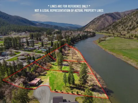
303 Iron Mountain Heights, Superior, MT 59872


- Added:
- Mar 9, 2026
- Days on Market:
- 101
- Last Refresh:
- Jun 17 at 5:06 am
Property Features for 303 Iron Mountain Heights
General Information
- Property type
- Land
- Property subtype
- Other
- Standard status
- Active
- APN
- 54263135301010000
- Lot size
- 23.00 Acres
Taxes and HOA fees
- Tax Year
- 2025
- Tax Description
- S35, T17 N, R26 W, ACRES 23, TRACT IN GOVT LOT 6 & THE S2SW4 LYING SOUTH & WEST OF THE NP RR R/W
- Tax Annual Amount
- 88
Listing agent Hannah Shelley License #RRE-RBS-LIC-95162 (406) 270-0794
Listing office PureWest Real Estate - Missoula 101 Railroad St W, Kalispell, MT (406) 541-4000
Listing date Mar 9, 2026
Copyright © 2026 Montana Regional MLS. All rights reserved. All information provided by the listing agent/broker is deemed reliable but is not guaranteed and should be independently verified.
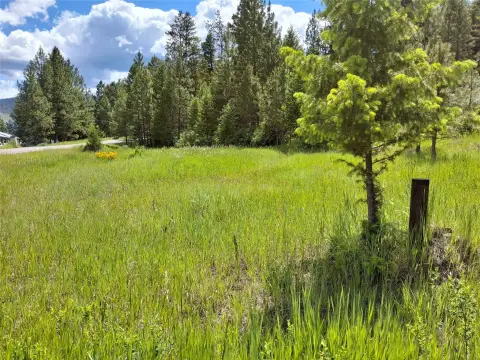
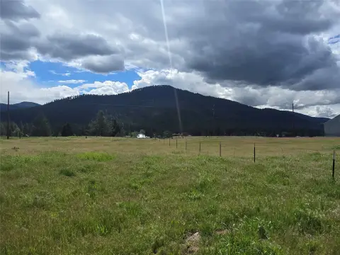
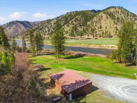
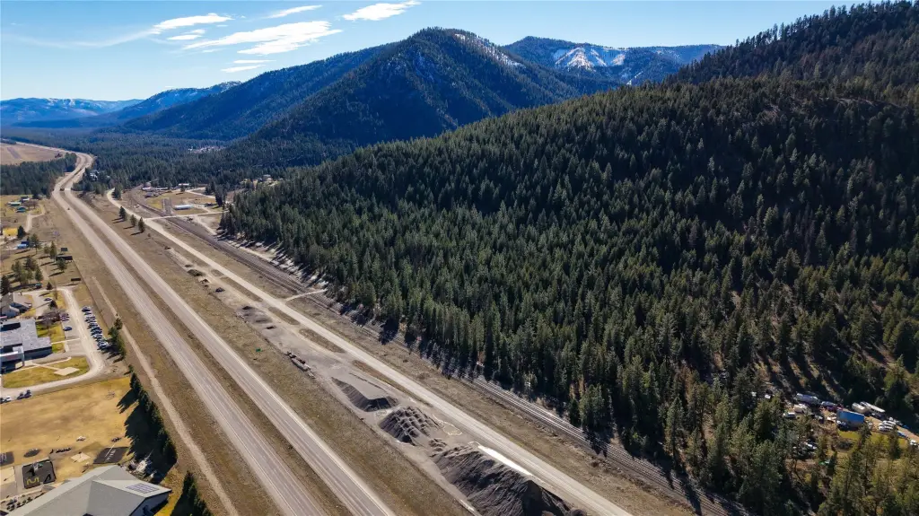
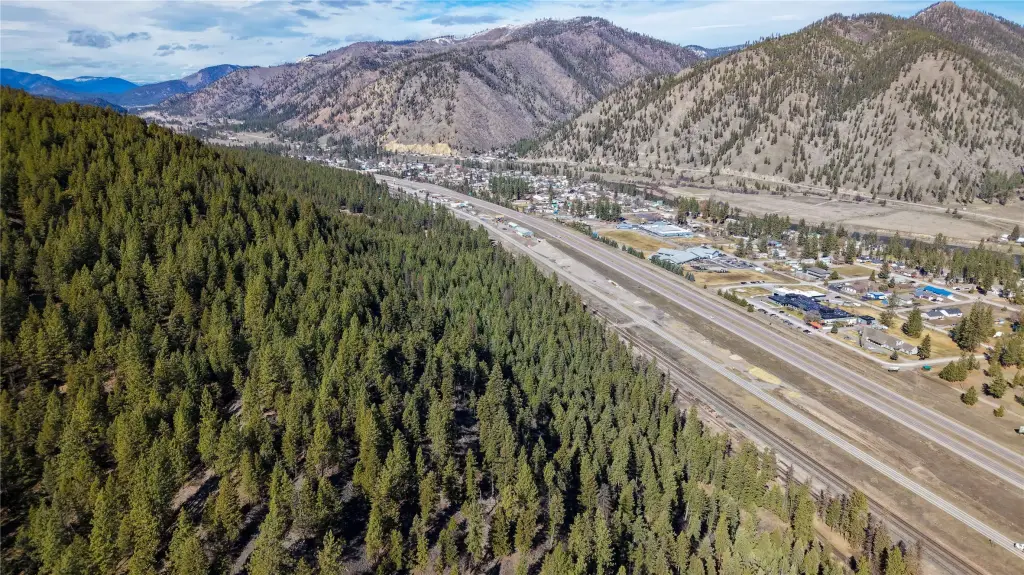
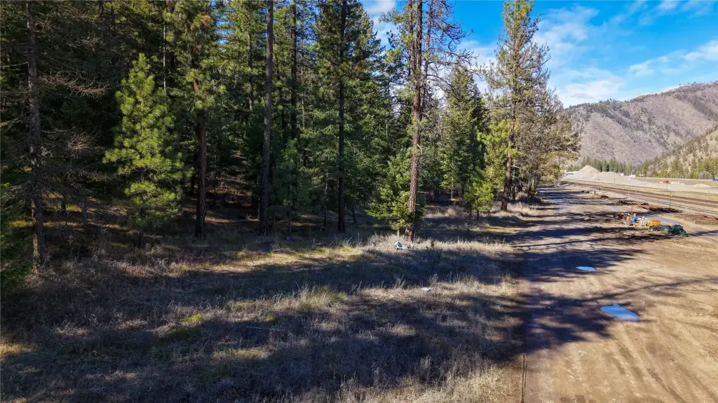
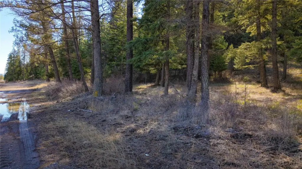
HighLights
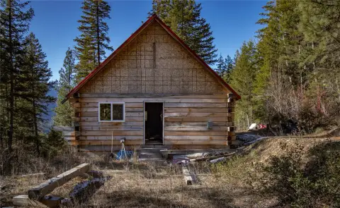
- 23 wooded acres with a cleared driveway leading to a primary building site
- Additional level areas on‑site suitable for future cabins, homes, or recreational structures
- Power is nearby, and the area is surrounded by great producing neighboring wells
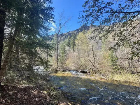
- Property borders USFS public land for easy access to public ground for outdoor recreation
- No zoning/CCRs reported, offering flexibility for how you use the land
- Includes marketable timber and abundant wildlife
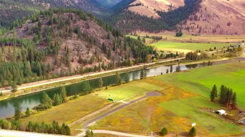
Overview
The parcel borders USFS public land, providing access to hundreds of thousands of acres for hunting, hiking, riding, and year-round outdoor recreation. The remarks also note that the property is located steps away from Superior’s amenities while still tucked into the trees. The surrounding area includes neighboring wells described as producing, and the ownership structure is presented as offering no zoning/CCRs.
For buyers looking for a flexible recreational basecamp or a private off-grid style homesite, the combination of a cleared access path, multiple level building areas, and adjacent public ground supports a wide range of uses. With the ability to build without zoning/CCRs, the property may appeal to those planning a future primary residence, additional cabins, or a long-term land hold focused on outdoor use.
Current Use by Public Records
Map
- City
- Superior
- County
- Mineral
- State
- Montana
- Longitude
- -114.880201
- Latitude
- 47.183566