Tile-Improved
For Sale
$1,900,000
Pending
290th Street, Aplington, IA 50604
Land, IA
Property SizeContact for details
Lot Size157.47 Acres
Days on Market49
Property Features for 290th Street
General Information
Property type
Land
Property subtype
Other
Zoning
Ag
Directions
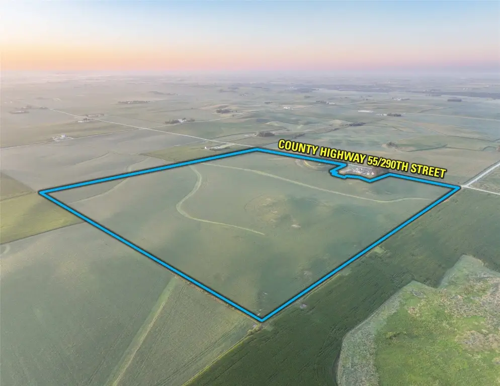
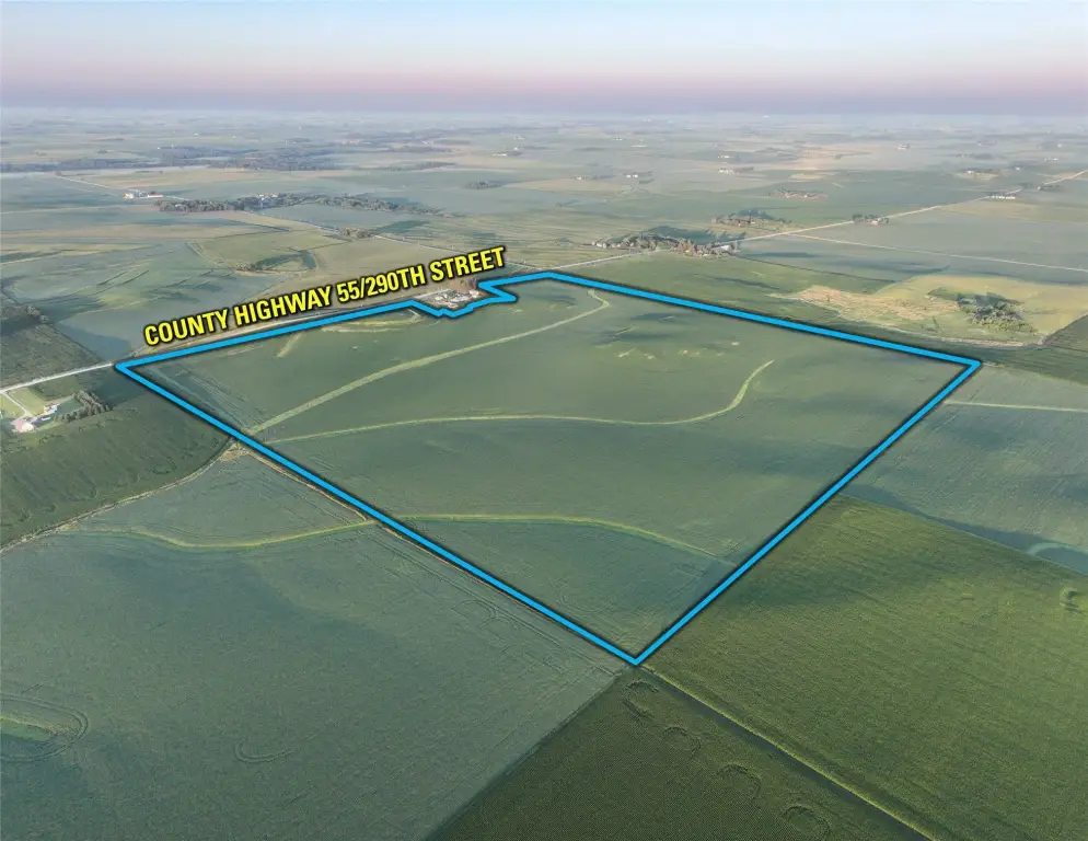
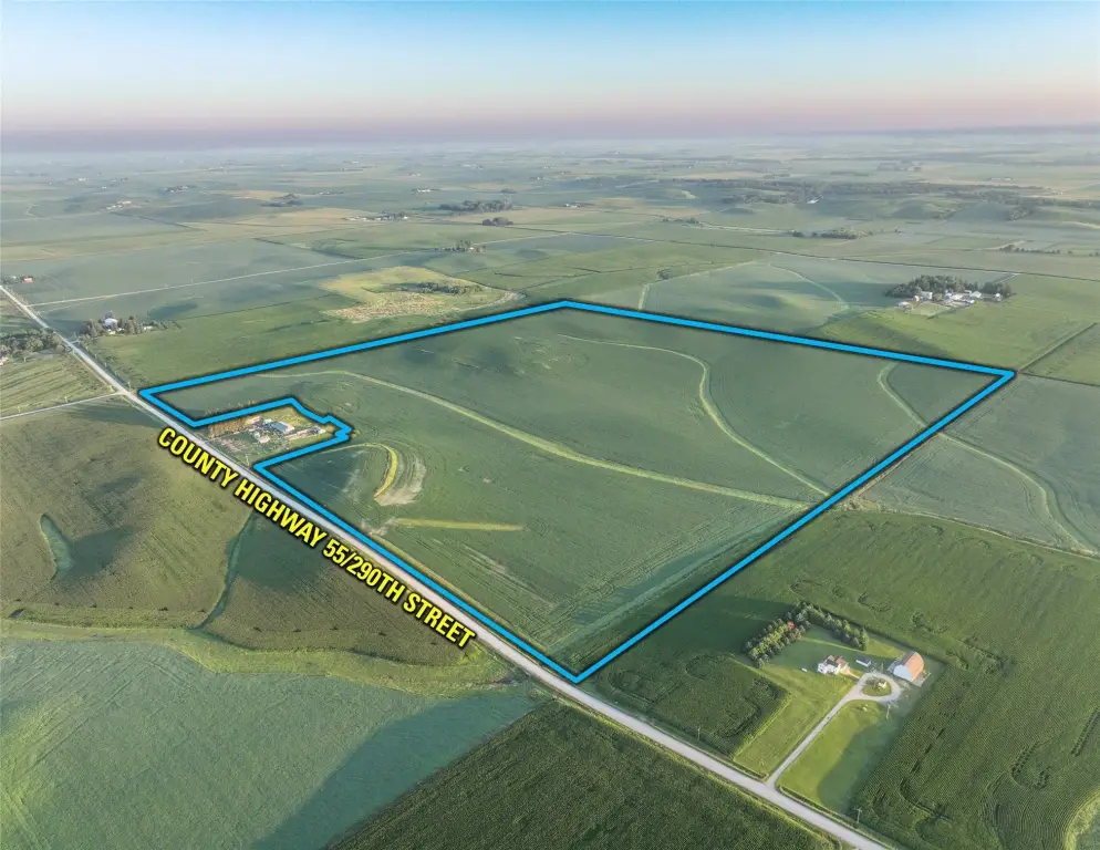
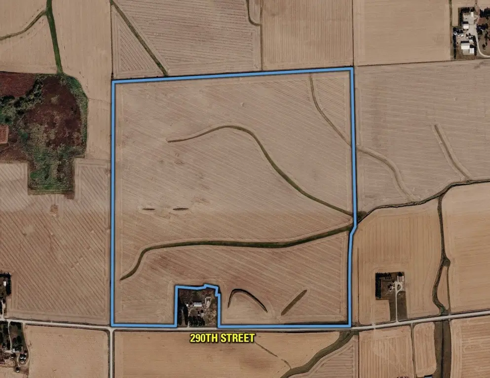
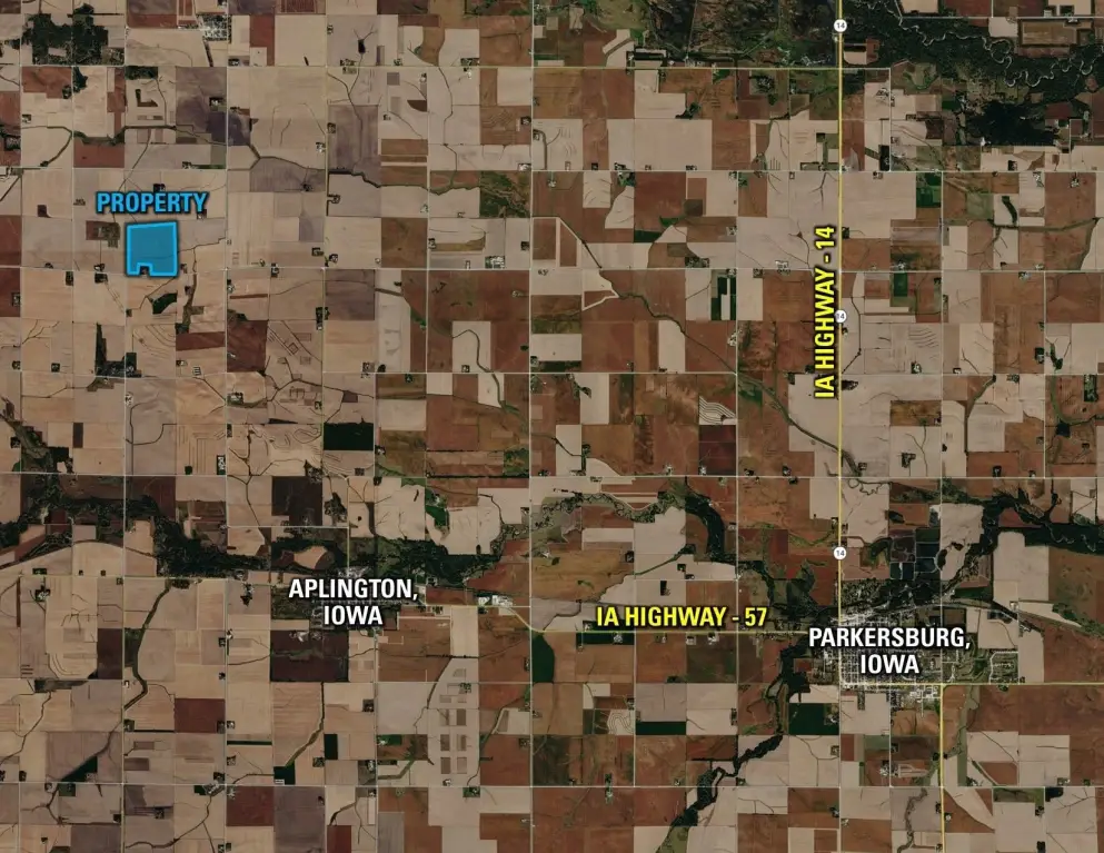
From Aplington, Iowa: Travel north on County Highway T25 for approximately 3.25 miles until reaching 290th Street. Turn left (west) on 290th Street and travel west for approximately 1.75 miles. The farm will be found on the north side of 290th Street. Look for the Company Signage.
Subdivision
Aplington
Standard status
Pending
APN
1301300041
Lot size
157.47 Acres
Taxes and HOA fees
Tax Description
Exact legal description to be taken from Abstract.
Tax Annual Amount
5016
Legal Description
Exact legal description to be taken from Abstract.
Listing Agency:
Peoples Company
(515) 222-1347
Listed By:
Andrew Zellmer · License #S61625000
(712) 898-5913
Added: Aug 5
Changed: Aug 31
Last Checked: Sep 22 at 7:06PM
MLS# 746723
Copyright © 2026 Des Moines Area Association of REALTORS®, Inc. All rights reserved. All information provided by the listing agent/broker is deemed reliable but is not guaranteed and should be independently verified.
Investment Insights
Based on property information with market context.
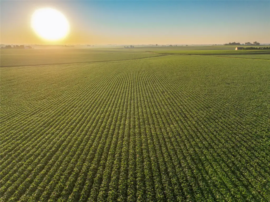
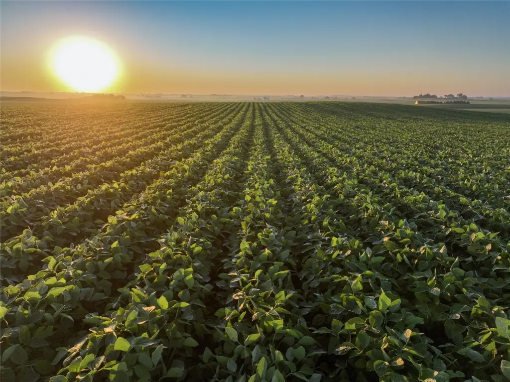
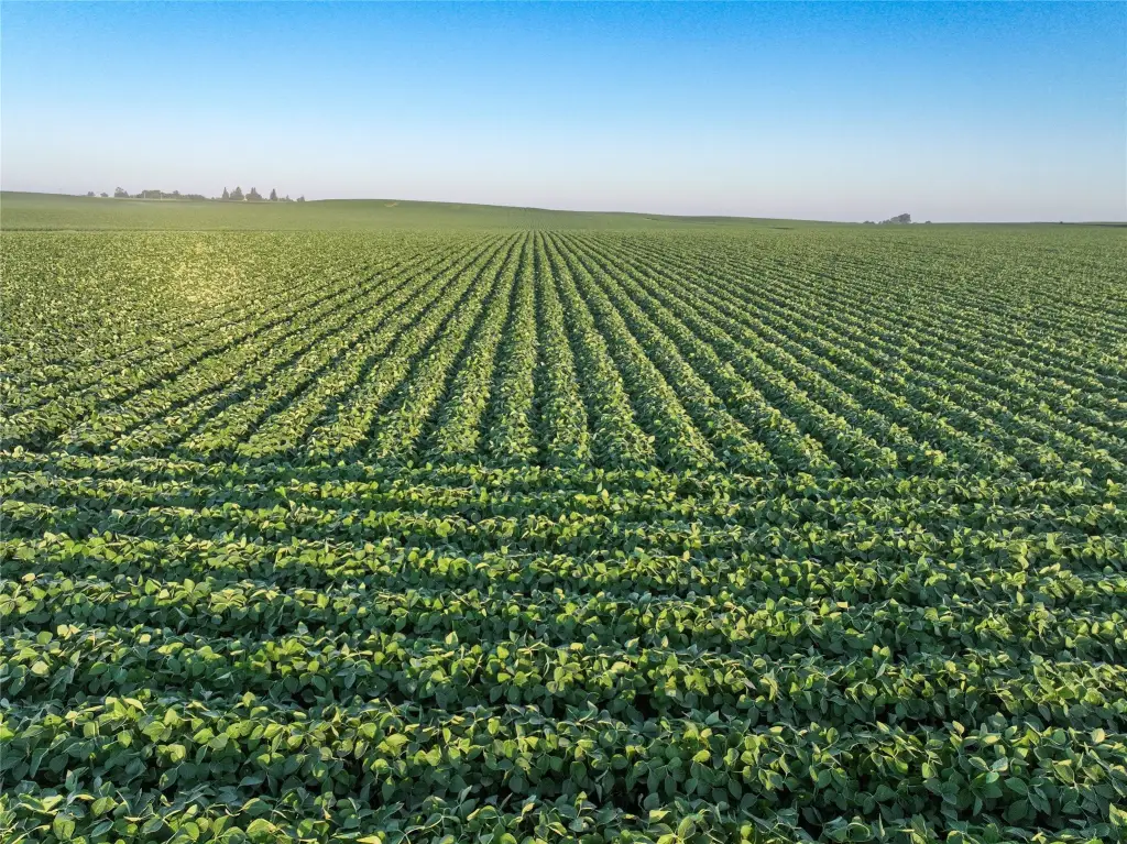
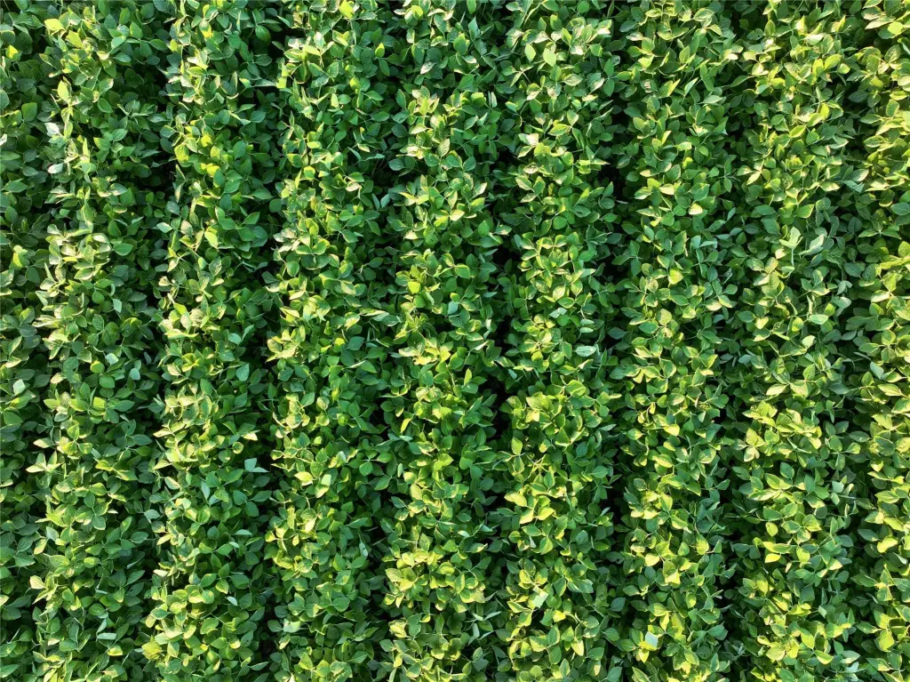
This 157.47-acre farm includes 156.27 FSA cropland acres classified as HEL. The tillable ground carries a 74 CSR2 rating, with Tama silt loam, Muscatine silty clay loam, and Colo-Ely complex among the identified soil types. More than 60% of the tract soils rate 82 CSR2 or higher.
Drainage infrastructure includes private tile installed in 2017, comprising over 17,000 feet of 4-inch tile and more than 5,000 feet of 5-inch and 6-inch tile. Farm access is from the south via 290th Street. County Highway T25 is approximately 1.5 miles east, and State Highway 57 is approximately 3.5 miles south, providing routes for moving grain, equipment, and agricultural inputs. Nearby grain markets include facilities in Aplington, Shellrock, and Iowa Falls.
Drainage infrastructure includes private tile installed in 2017, comprising over 17,000 feet of 4-inch tile and more than 5,000 feet of 5-inch and 6-inch tile. Farm access is from the south via 290th Street. County Highway T25 is approximately 1.5 miles east, and State Highway 57 is approximately 3.5 miles south, providing routes for moving grain, equipment, and agricultural inputs. Nearby grain markets include facilities in Aplington, Shellrock, and Iowa Falls.
Key Highlights
- 157.47 surveyed acres m/l in Butler County, Iowa
- 156.27 FSA cropland acres classified as HEL
- Tillable acres carry a 74 CSR2 soil rating
Property Analytics
Unlock full access to Insights
Subscribe to Realmo Intelligence
Open Analytics
Current Use
Location Intelligence
Trade Area within ½ mile
Explore this area
Business Placement
Demographics for 50604, IA
1,701
Population
772
Households
2.2
Avg Household Size
44
Median Age
25%
College-Educated
95%
High-School Grad
71.5 sq mi
ZIP Area
24
Density / Sq Mi
$63,750
Median Household Income
$38,750
Median Earnings
$628
Median Rent
$150,800
Median Home Value
Check the figures for this property
Cap Rate, Value Estimation, Potential NOI and more
View Realmo Analytics

Questions? Ask Rey
Realmo’s AI knows this listing — price, zoning, demand, history. Ask anything.




Frequently Asked Questions
What type of property is this?
Farm - Agricultural tract with productive soils, extensive drainage infrastructure, and road access for farming operations.
Where is this farm located?
The property is located at 290th Street Aplington, IA.
What is the asking price?
The asking price for this property is $1,900,000.
What are key features of this property?
This property features: 157.47 surveyed acres m/l in Butler County, Iowa; 156.27 FSA cropland acres classified as HEL; Tillable acres carry a 74 CSR2 soil rating



