Commercial Land with Highway

For Sale
$8,500,000
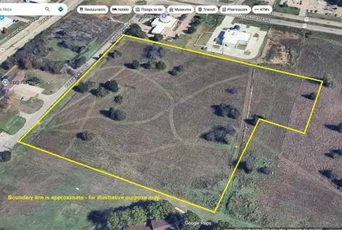
Exit 29 Interstate 35, Ardmore, OK 73401
Land, Ardmore, OK
Property SizeContact for details
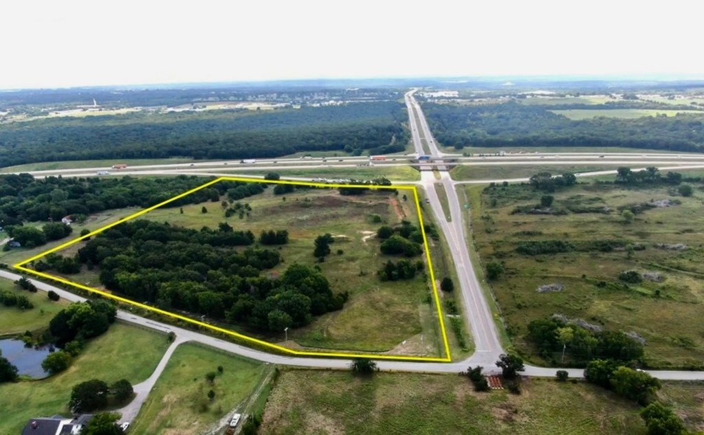
Lot Size10.50 Acres
Days on Market752
Property Features for Exit 29 Interstate 35
General Information
Property type
Land
Property subtype
Other
Zoning description
Commercial
Lot features
Corner Lot
High school district
PLAINVIEW PUBLIC SCHOOLS
Standard status
Active
Lot size
10.50 Acres
Taxes and HOA fees
Tax Annual Amount
495
Utilities
Water source
Public
Listing Agency:
Turner Land Company LLC
(580) 465-3571
Listed By:
Thomas Craig Bryant
(580) 465-9851
Added: Sep 16, 2024
Changed: Sep 4
Last Checked: Oct 7 at 6:06PM
MLS# 11343446
Copyright © 2026 My State MLS. All rights reserved. All information provided by the listing agent/broker is deemed reliable but is not guaranteed and should be independently verified.
Investment Insights
Based on property information with market context.
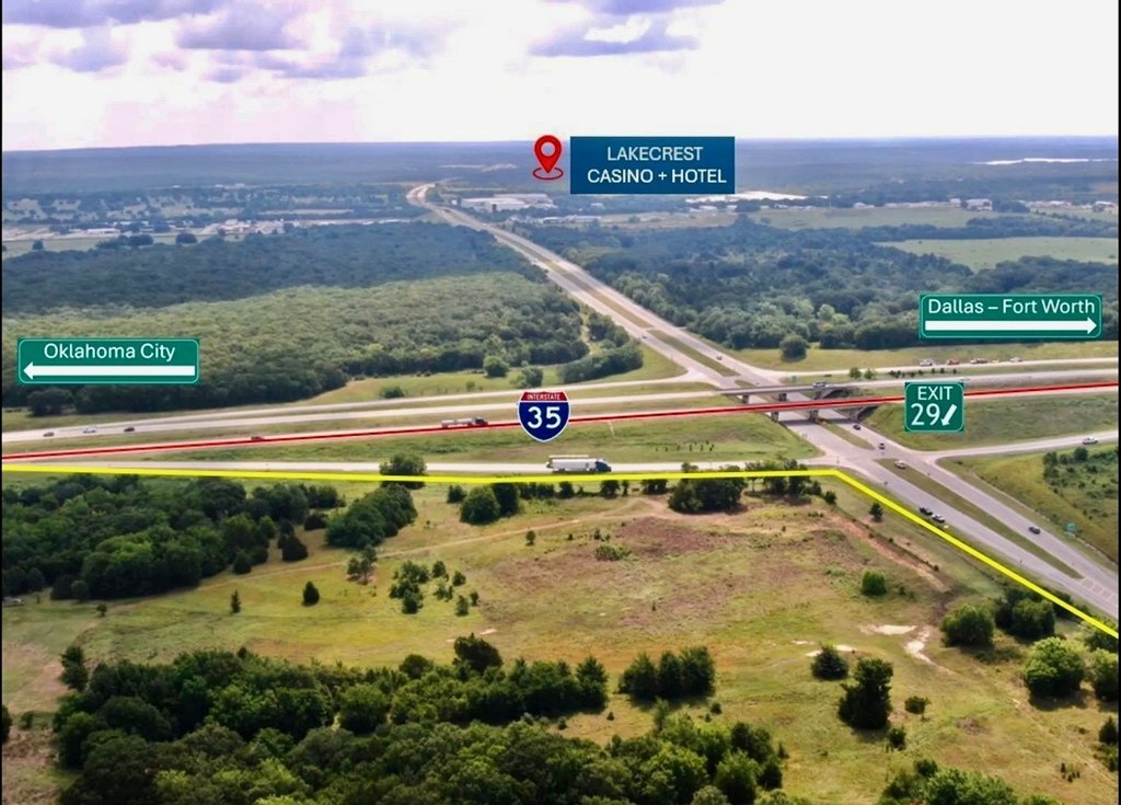
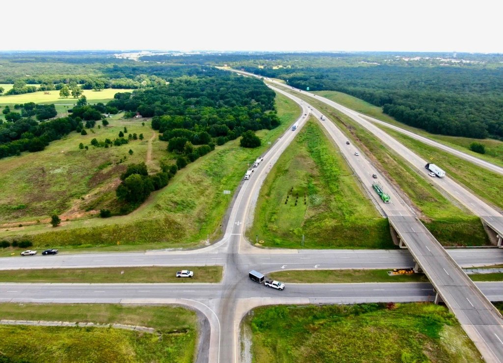
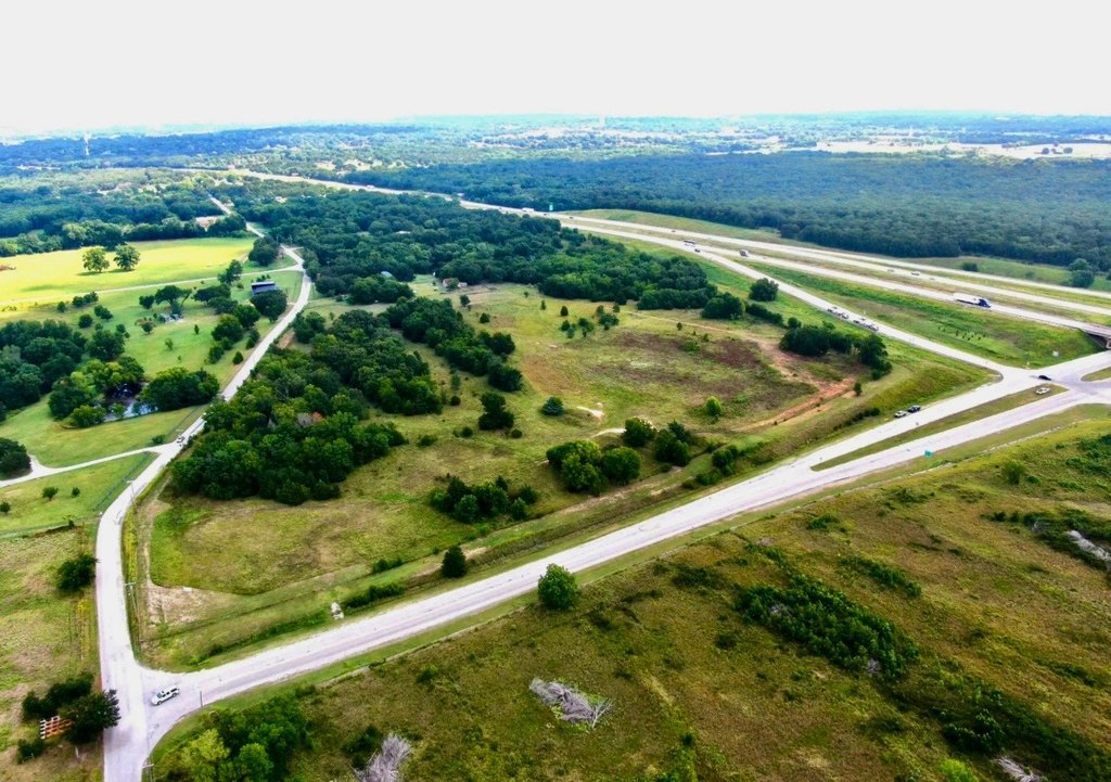
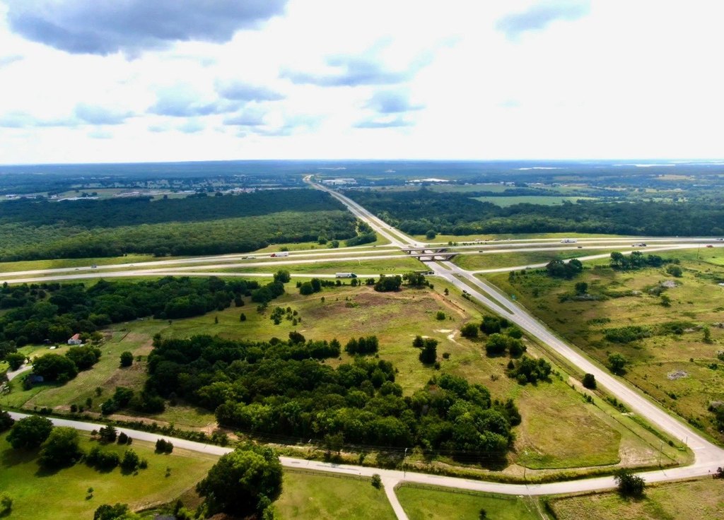
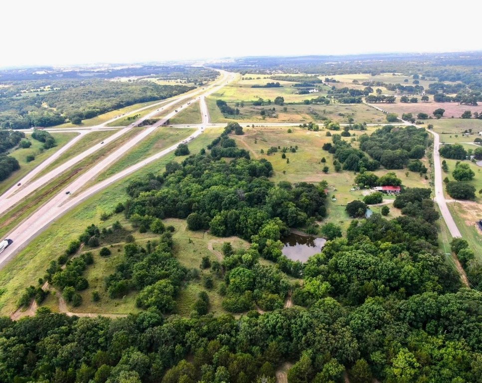
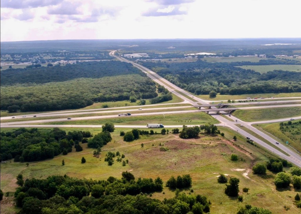
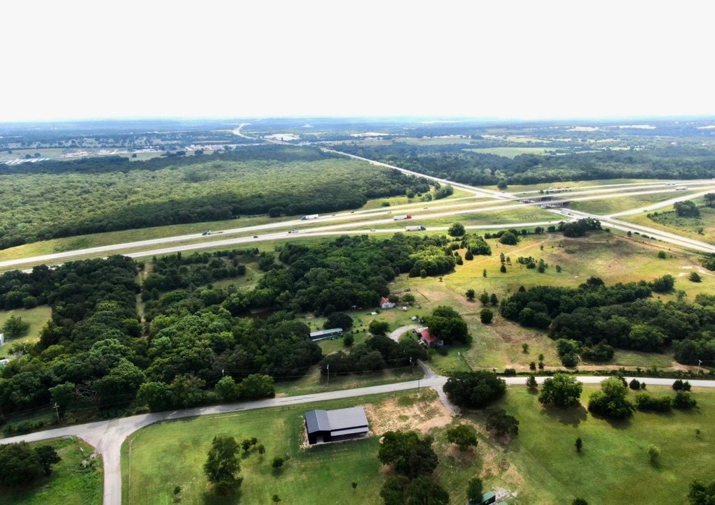
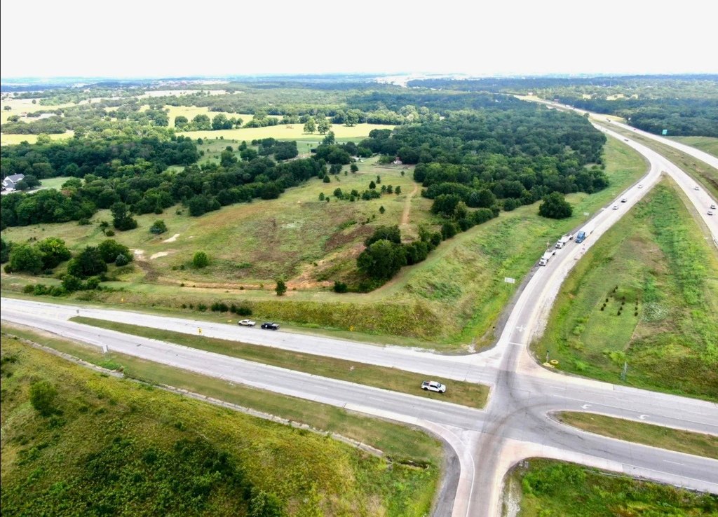
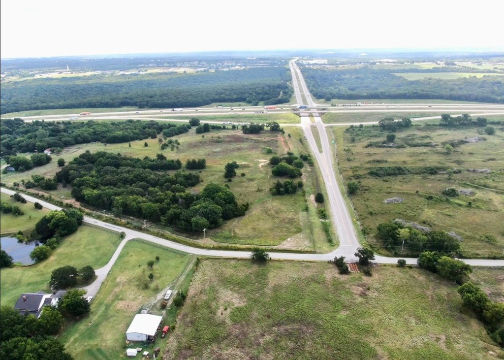
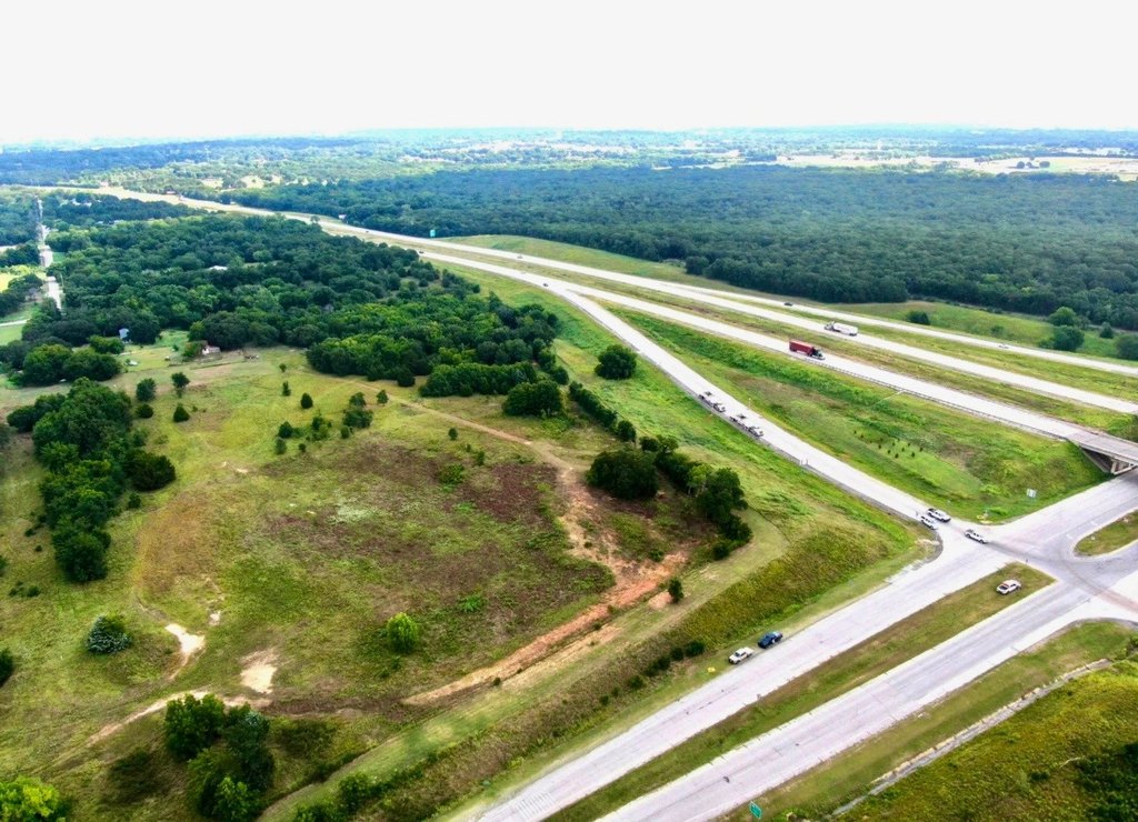
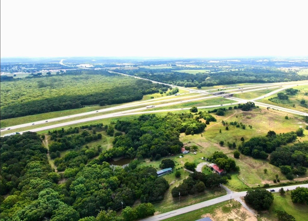
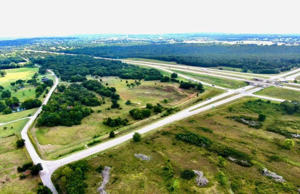
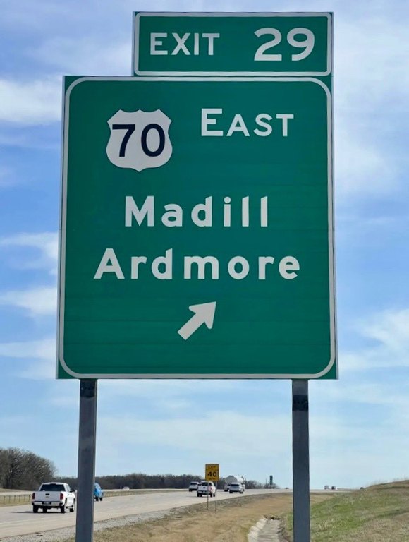
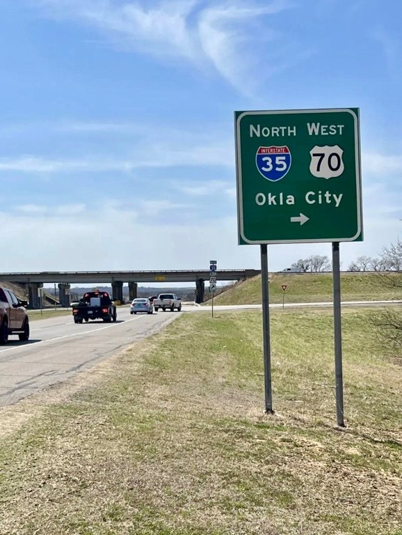
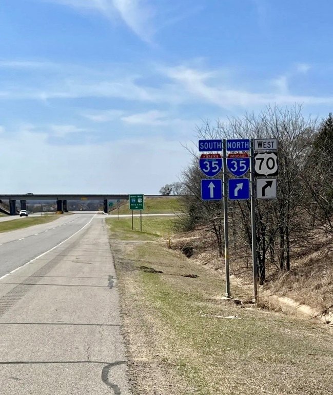
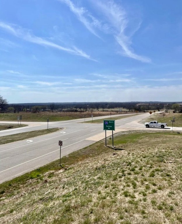
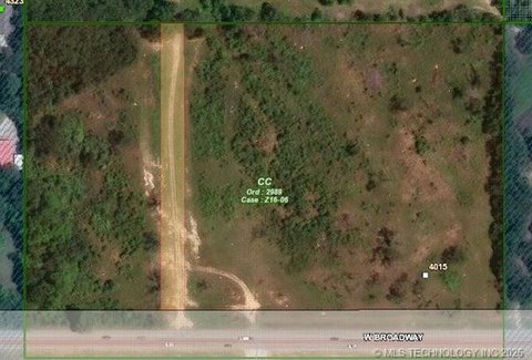
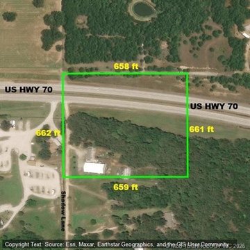
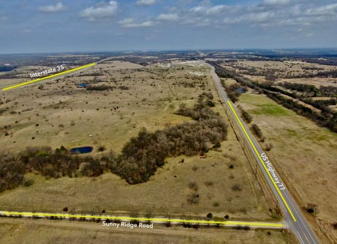
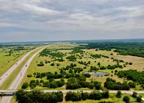
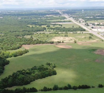
This 10.5-acre commercial land tract is positioned at Interstate 35 Exit 29 in Ardmore, with frontage along both I-35 and Hwy 70. The property is commercially zoned and has access to city water and tri-wire commercial electric service. Its location at the first northbound and last southbound Ardmore exit supports visibility from interstate traffic.
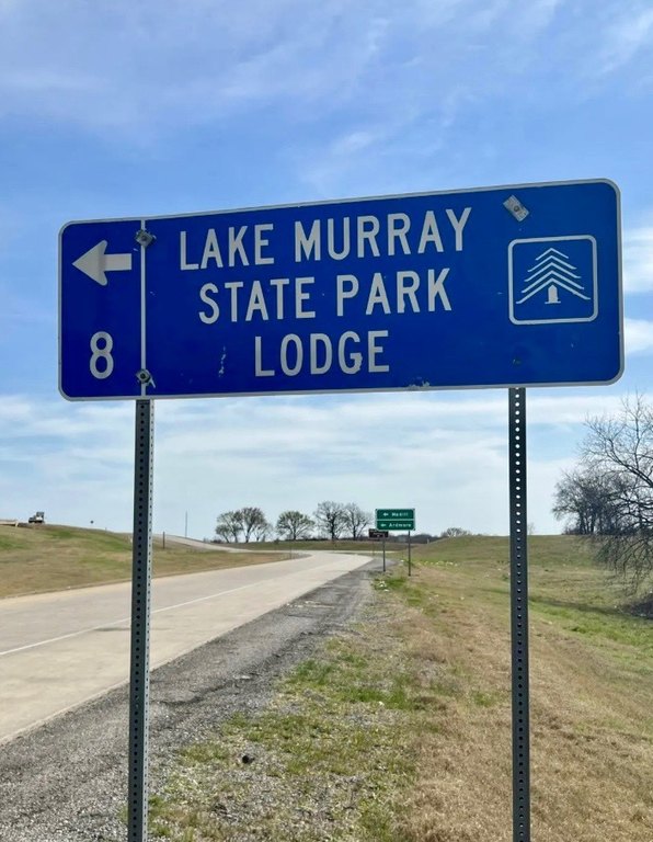
The site is 2 miles from Ardmore Airport, 2.5 miles from Lake Murray State Park, and 14 miles from Lake Murray Lodge. Broadway St. is approximately 5 minutes away, while Downtown Ardmore is about 7 minutes away. The property is also 1.8 miles south of Plainview Public Schools and 1.2 miles west of South Commerce. Oklahoma City and Dallas are each approximately 90 miles away.
The site is 2 miles from Ardmore Airport, 2.5 miles from Lake Murray State Park, and 14 miles from Lake Murray Lodge. Broadway St. is approximately 5 minutes away, while Downtown Ardmore is about 7 minutes away. The property is also 1.8 miles south of Plainview Public Schools and 1.2 miles west of South Commerce. Oklahoma City and Dallas are each approximately 90 miles away.
Key Highlights
- 10.5‑acre commercial land tract
- Frontage on both Interstate 35 and Hwy 70
- Located at I‑35 Exit 29 in Ardmore
Property Analytics
Current Use
Lease Details
35,000 VPD
Traffic count
Yes
Highway access
Yes
Paved road access
Yes
Utilities to site
Location Intelligence
Trade Area within ½ mile
163
Businesses Nearby
Explore this area
Business Placement
Demographics for 73401, OK
36,744
Population
16,349
Households
2.2
Avg Household Size
41
Median Age
23%
College-Educated
88%
High-School Grad
351.5 sq mi
ZIP Area
105
Density / Sq Mi
$60,288
Median Household Income
$39,005
Median Earnings
$960
Median Rent
$174,700
Median Home Value

Questions? Ask Rey
Realmo’s AI knows this listing — price, zoning, demand, history. Ask anything.



Frequently Asked Questions
What type of property is this?
Commercial land - Commercially zoned land with interstate and highway frontage, public water, and commercial electric service.
Where is this commercial land located?
The property is located at Exit 29 Interstate 35 Ardmore, OK.
What is the asking price?
The asking price for this property is $8,500,000.
What are key features of this property?
This property features: 10.5‑acre commercial land tract; Frontage on both Interstate 35 and Hwy 70; Located at I‑35 Exit 29 in Ardmore



