28741 Williams Canyon Rd. Silverado, Canyon, CA 92676

- Added:
- Mar 6, 2026
- Days on Market:
- 106
- Last Refresh:
- Jun 20 at 6:06 pm
Property Features for 28741 Williams Canyon Rd. Silverado
General Information
- Property type
- Land
- Property subtype
- Other
- Zoning
- A1, General Agricultural
- Exterior features
- Community Features Included: Rural, Hiking, Mountainous, Blm/National Forest, Foothills
- Standard status
- Active
- APN
- 87602116
- Lot size
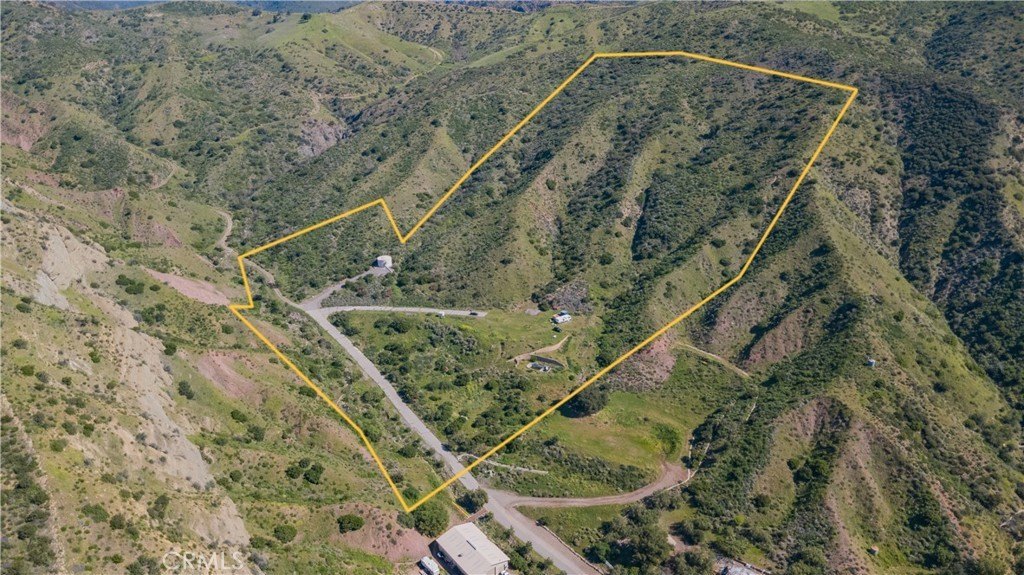
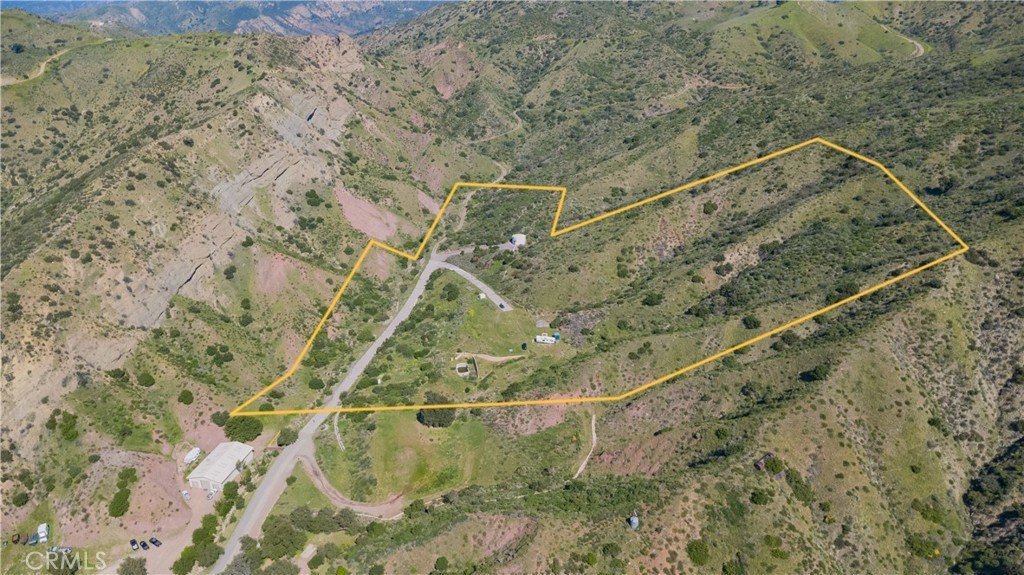
- 871,200.00 Acres
Building Details
- Architectural style
- Other

Listing agent Ramzi Rabbat License #01863335 (714) 270-4212
Listing office Realty One Group West 2134 Main Street, Suite 140, CA (714) 698-5300
Listing date Mar 6, 2026
Copyright © 2026 California Regional Multiple Listing Service, Inc. All rights reserved. All information provided by the listing agent/broker is deemed reliable but is not guaranteed and should be independently verified.
HighLights
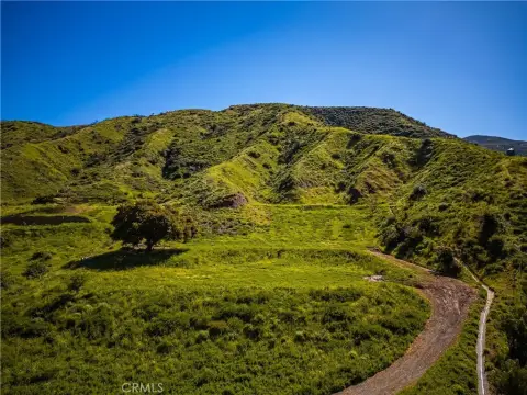
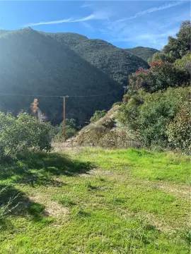
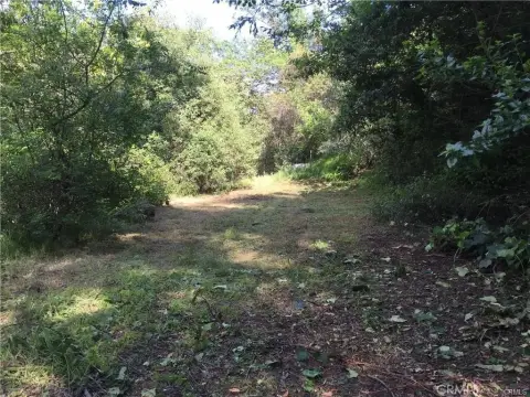
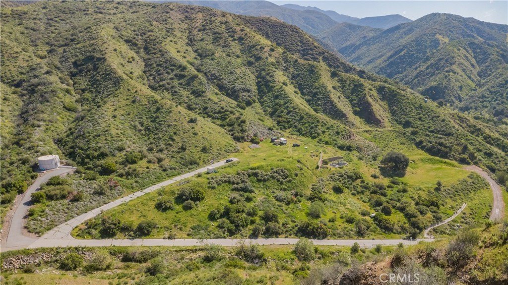
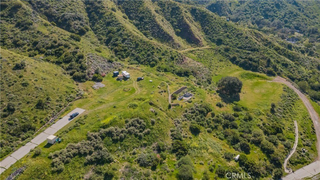
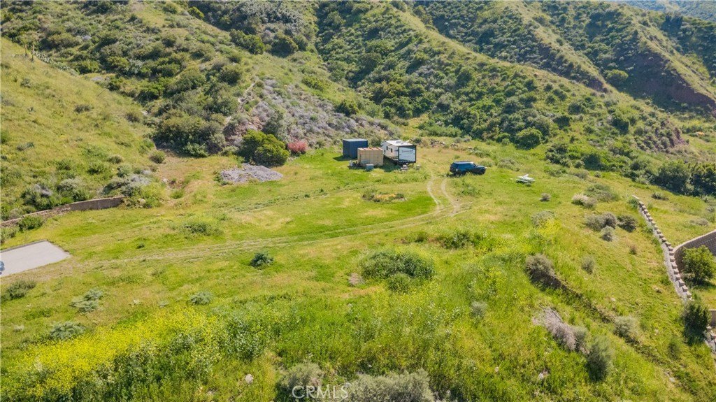
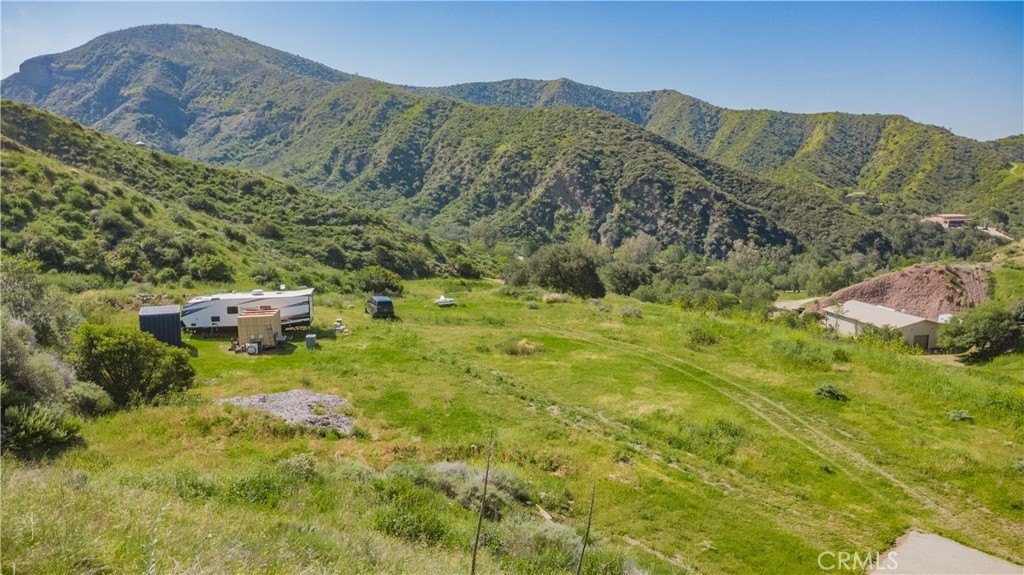
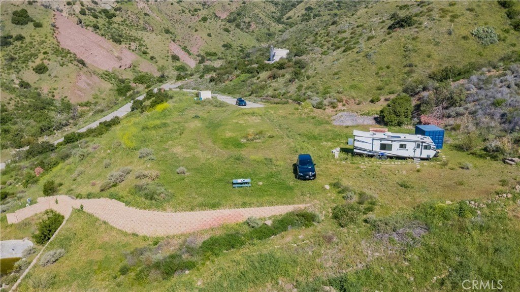
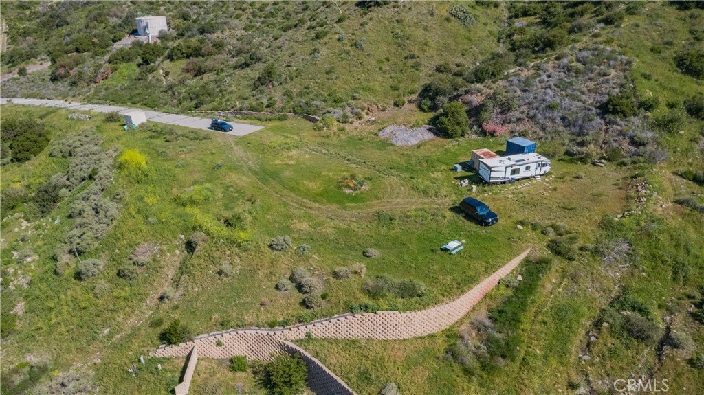
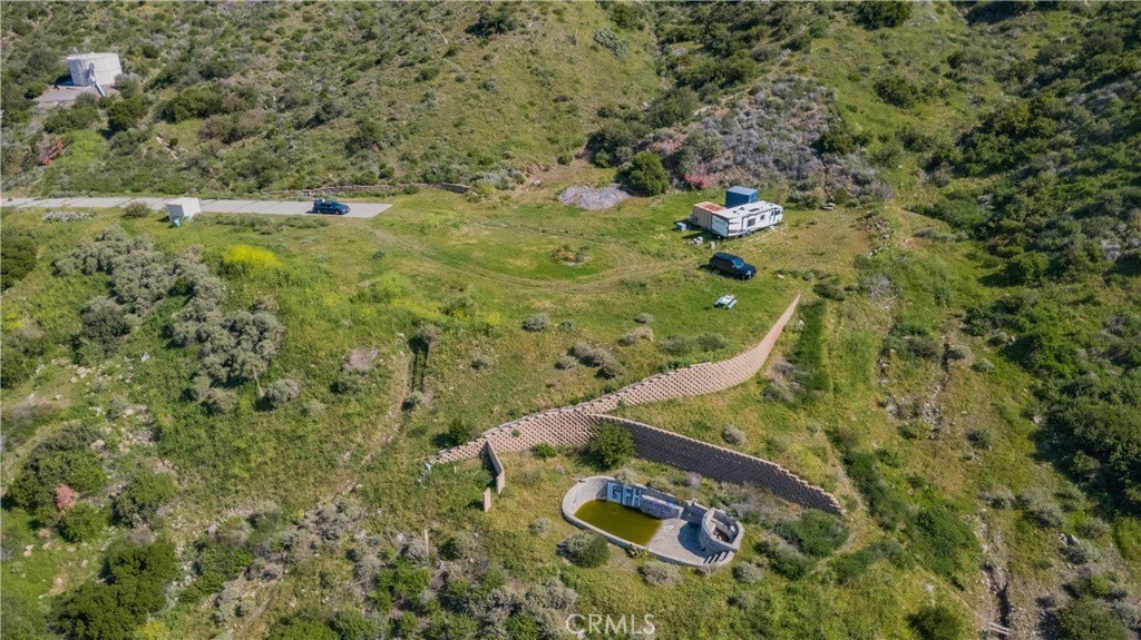
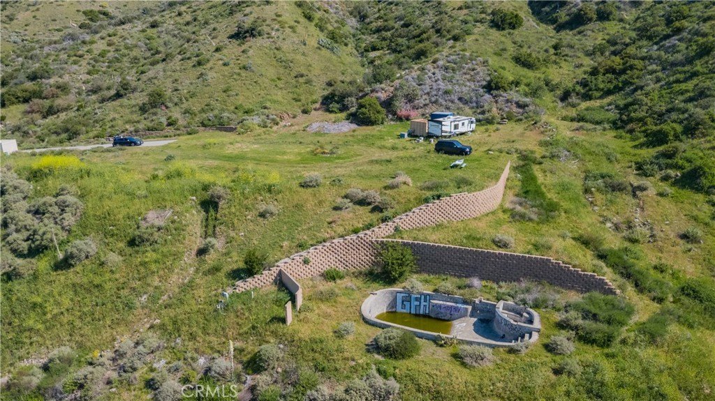
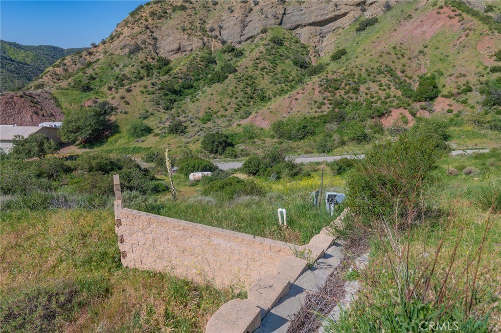
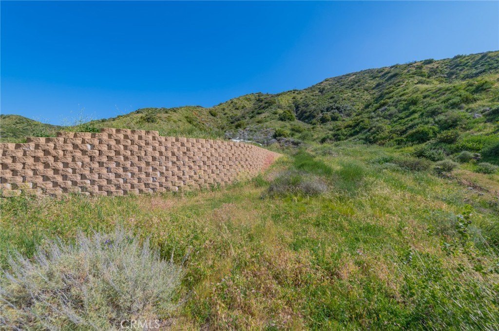
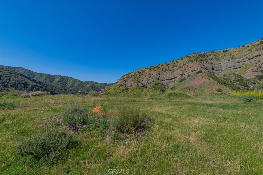
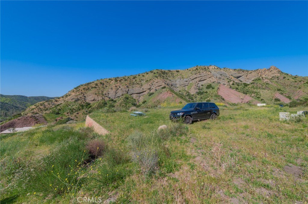
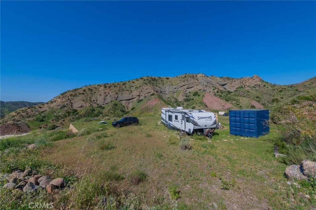
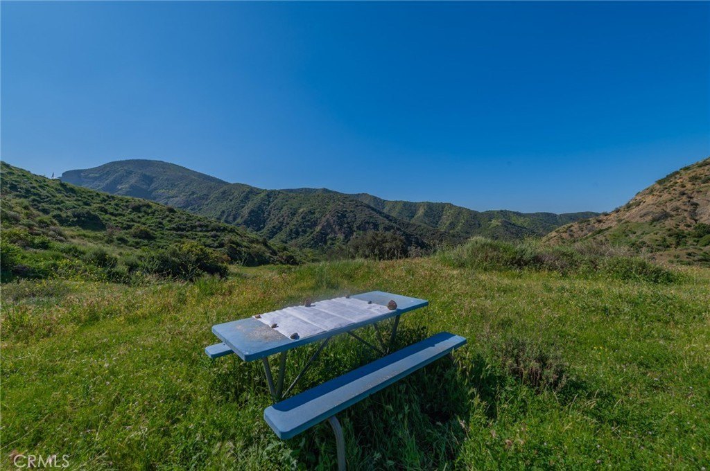
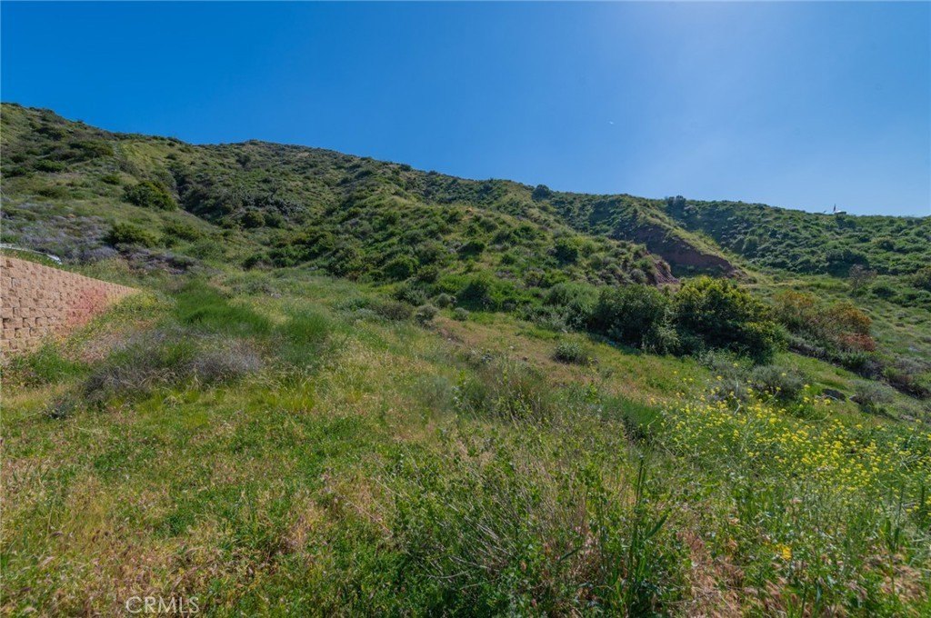
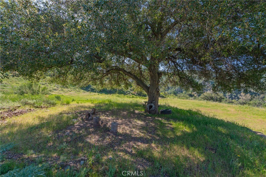
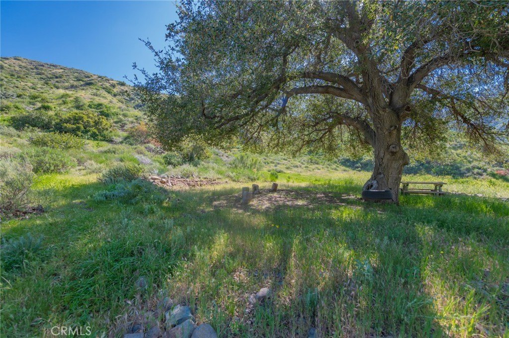
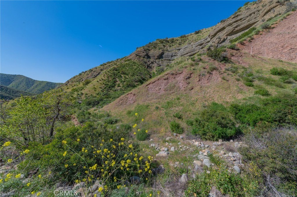
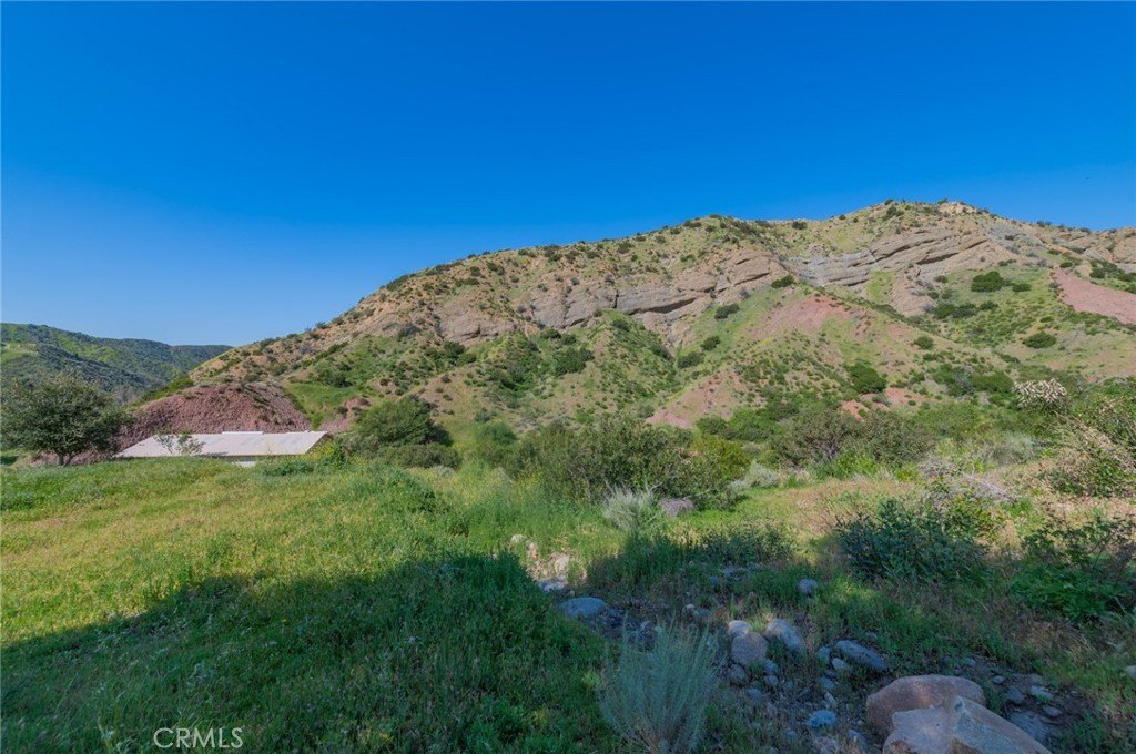
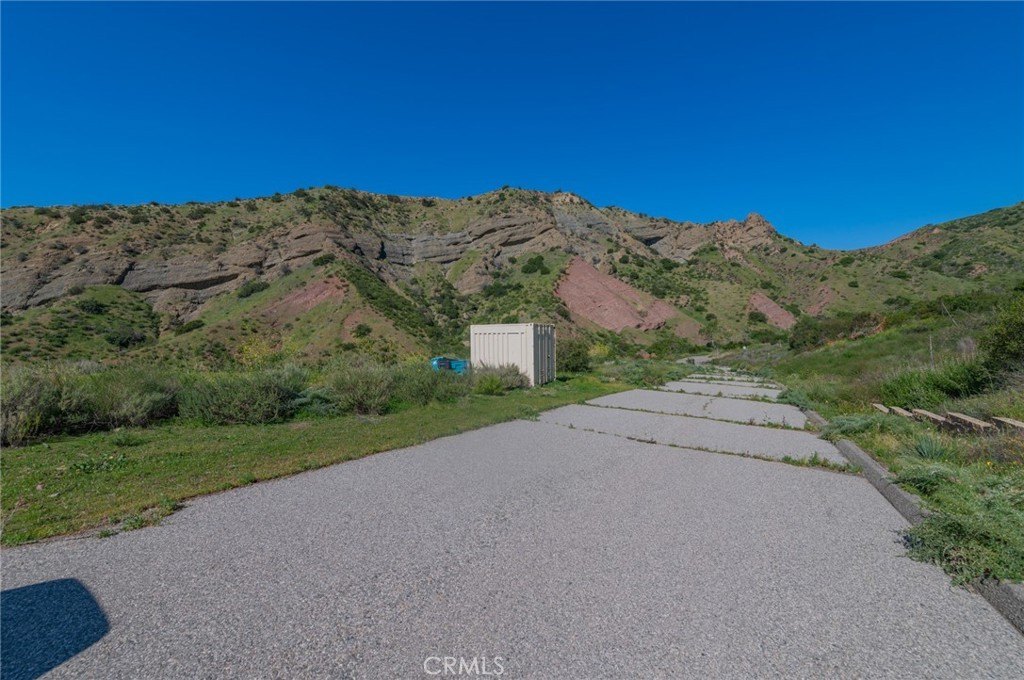
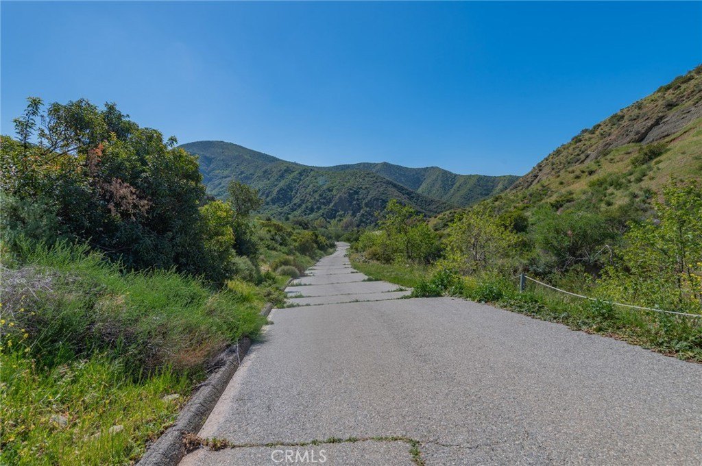
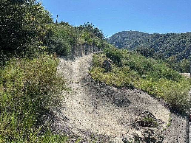
- Nearly 20 acres of secluded land backing directly to the National Forest, offering exceptional privacy and breathtaking canyon views.
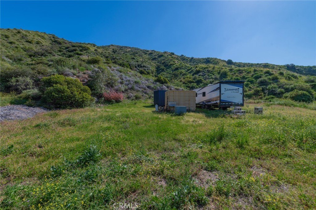
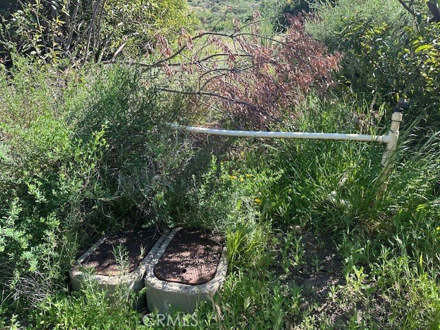
- Key infrastructure already in place: electricity, water, phone service, septic system, propane tank, and a fresh water well.
- Minutes from the 241 Toll Road, shopping, and everyday conveniences, despite its peaceful, retreat‑like setting.
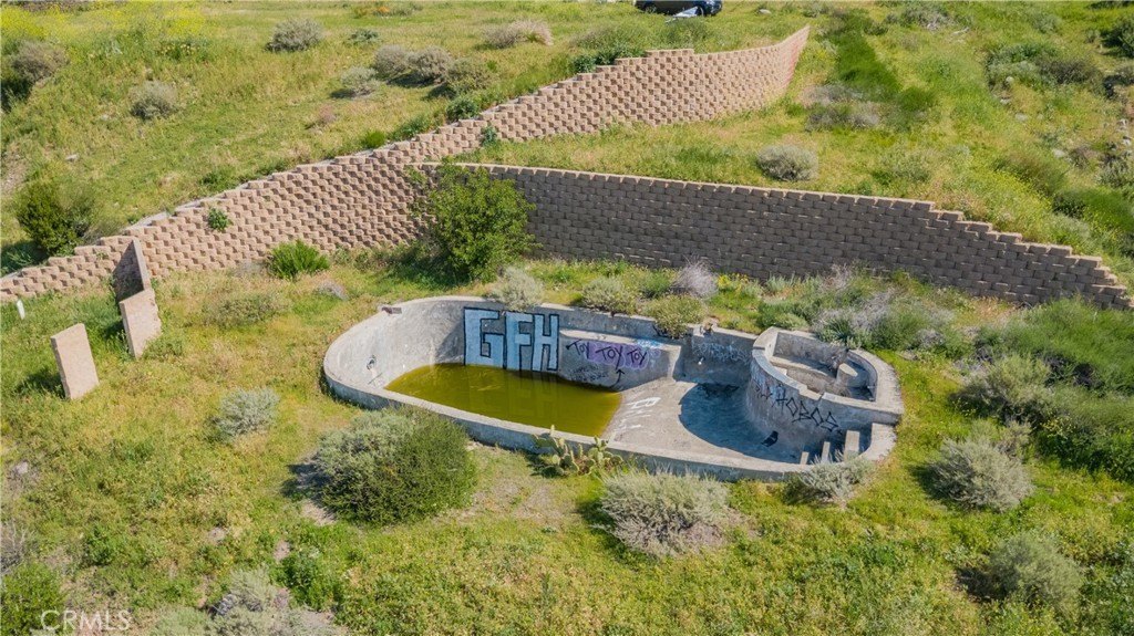
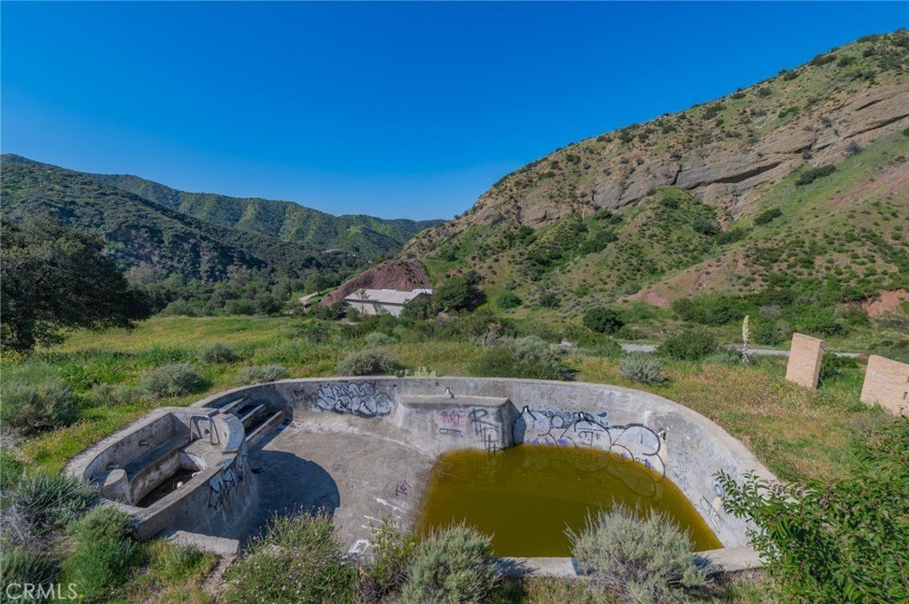
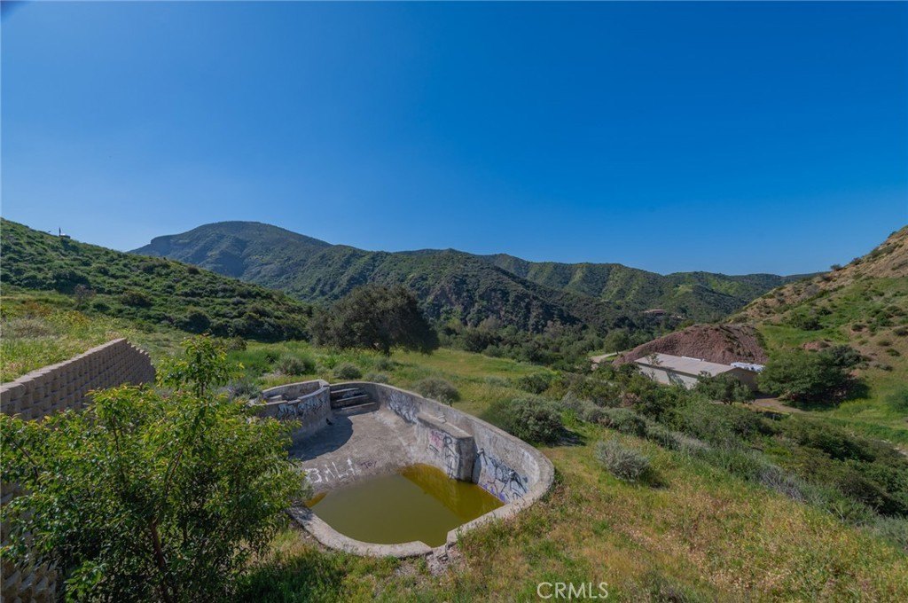
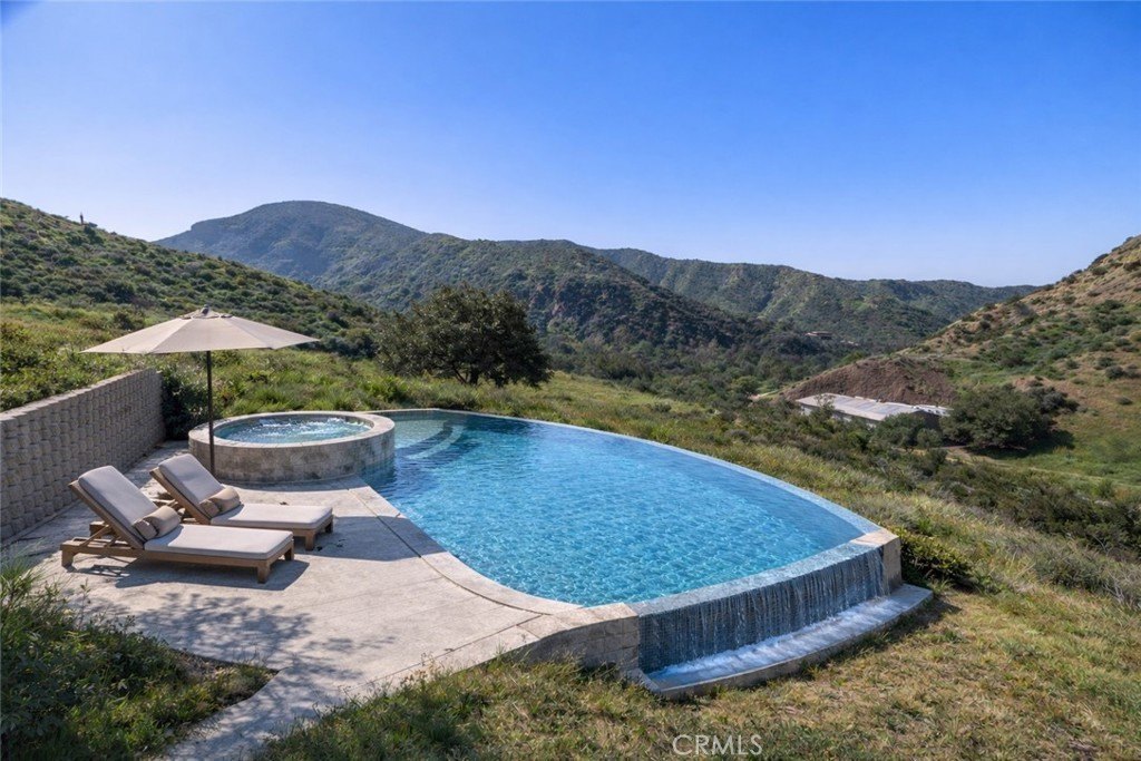
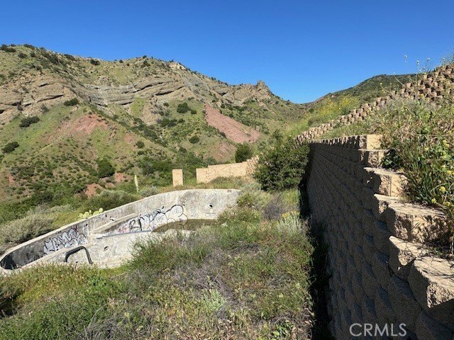
- Permitted partially completed pool that can be transformed into an infinity‑edge pool.
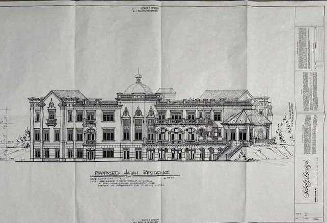
- Previously approved plans for a 28,000 sq ft custom Scholz Design estate.
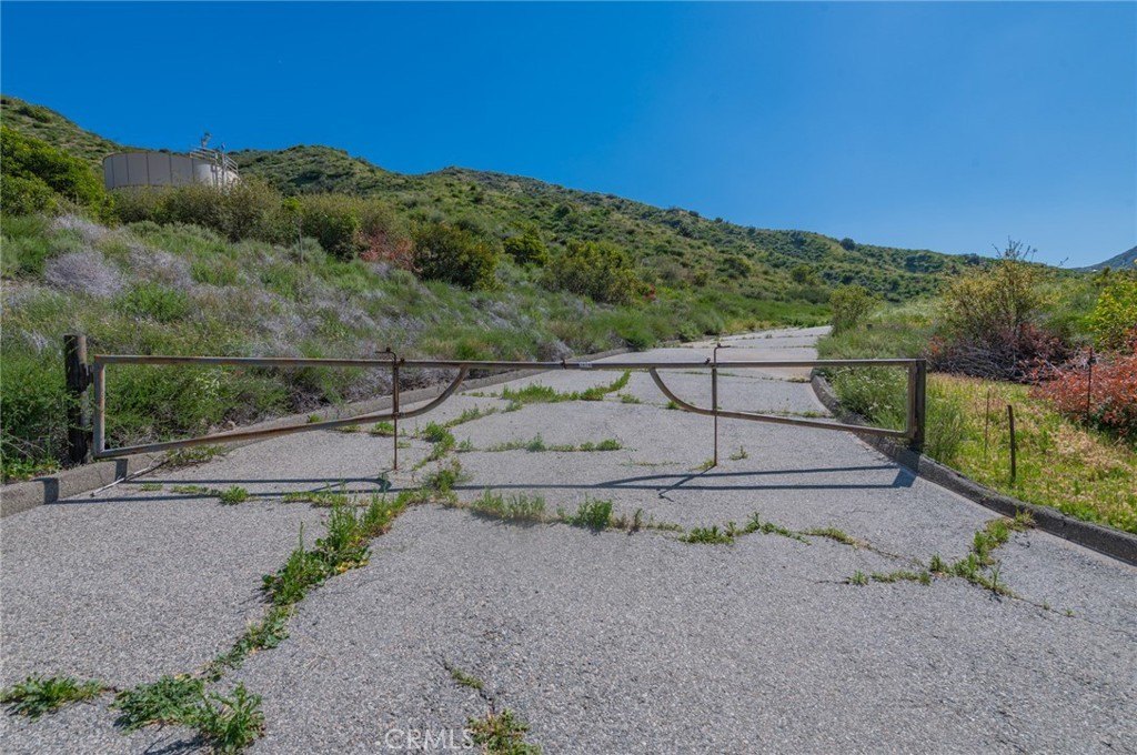
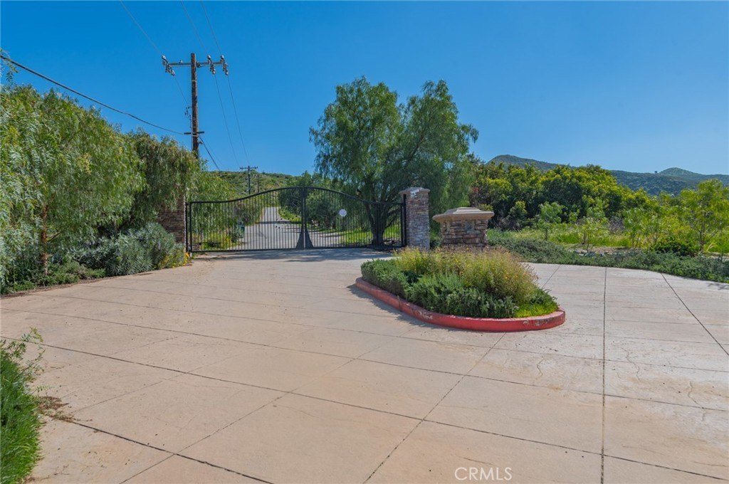
- Legal recorded access via Williams Canyon Rd., providing secure and undisputed entry.
Overview
The property is described as being at the end of Williams Canyon Rd., just off Santiago Canyon Rd., with backing directly to the National Forest. The setting is characterized by canyon and nature views, with a limited number of neighboring properties sharing the private road. The remarks also note proximity to the 241 Toll Road and nearby shopping and everyday conveniences.
For buyers, developers, or land investors planning a custom residence or agricultural-style estate, the documented infrastructure and utility groundwork can support move-forward construction planning. The combination of recorded access, on-site utilities, and existing site work provides a practical starting point for creating a private compound while remaining surrounded by protected National Forest land.
Current Use by Public Records
Map
- City
- Canyon
- County
- Contra Costa
- State
- California
- Longitude
- -117.629
- Latitude
- 33.7477