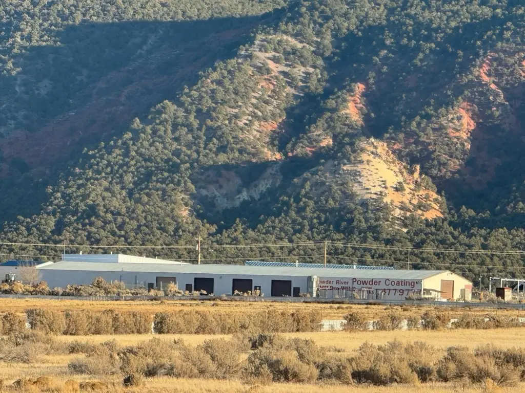
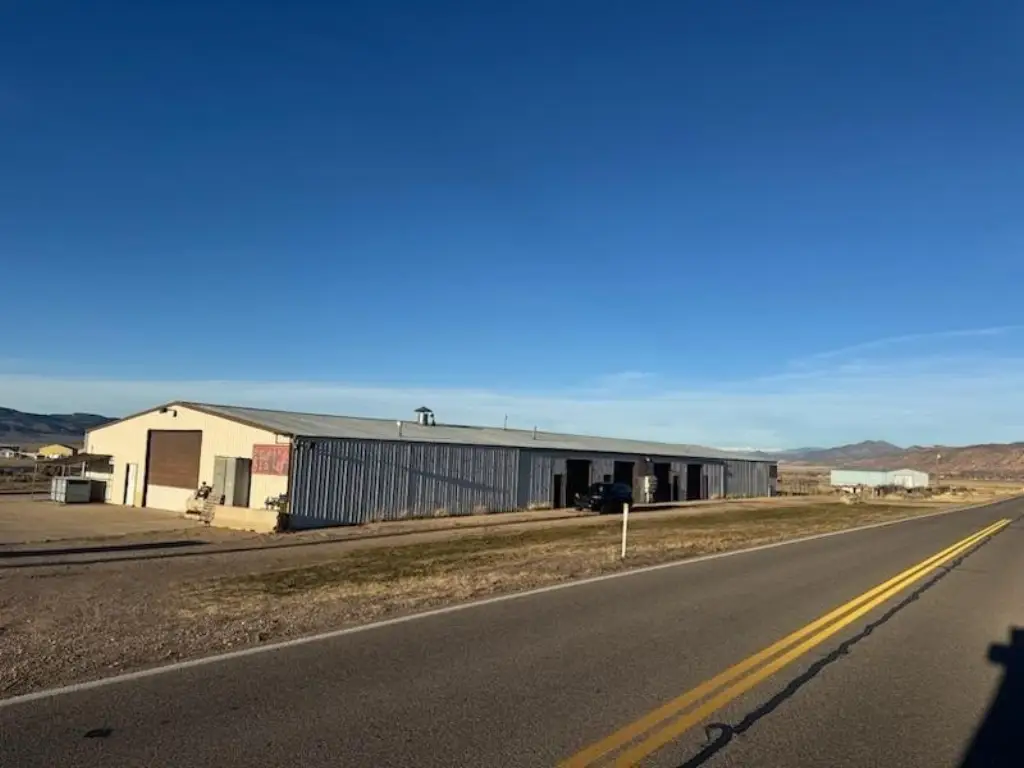
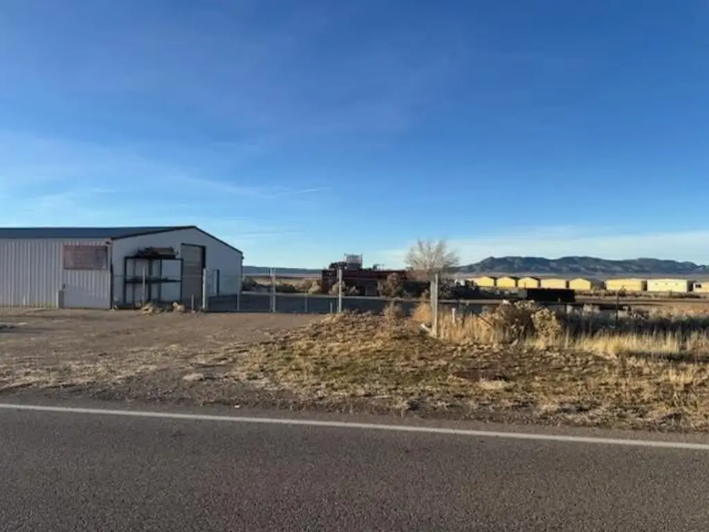
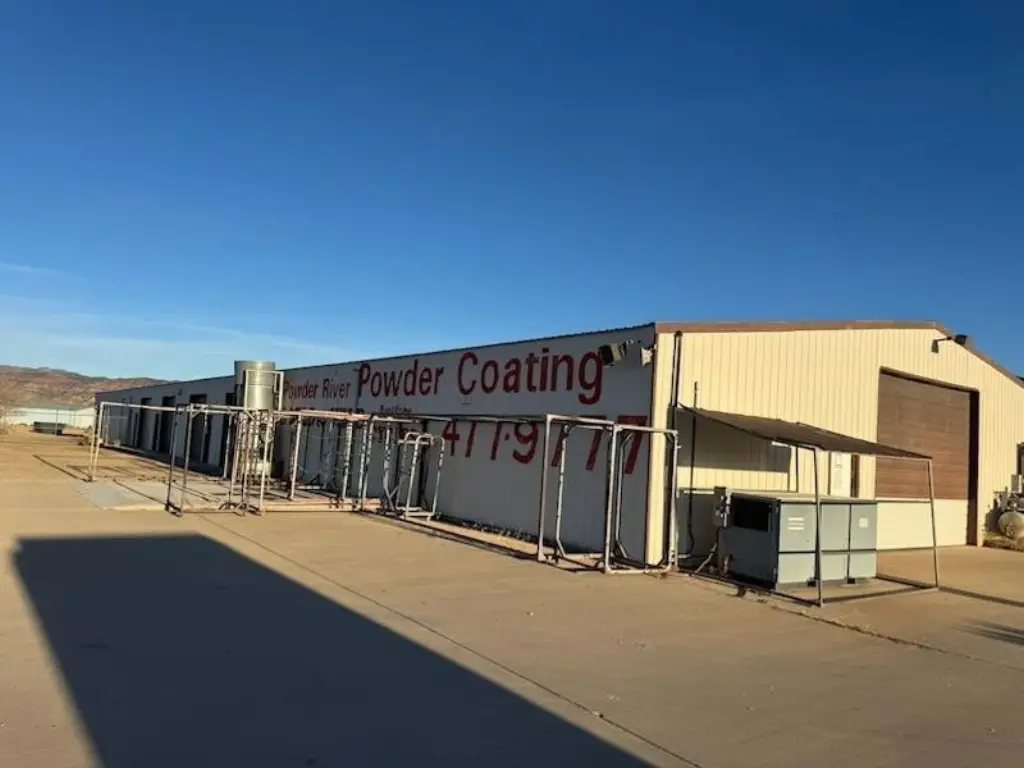
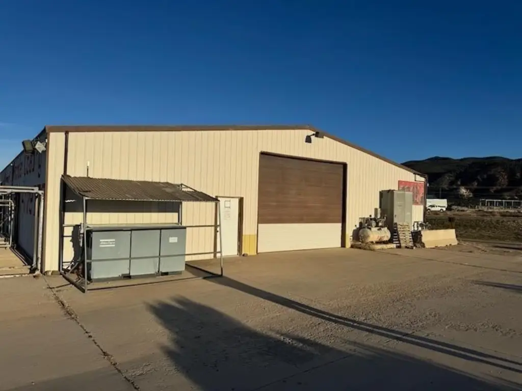
12,000-Square-Foot Manufacturing
285 E Highway 271, Parowan, UT 84761
For Sale
$1,190,000
Commercial Sale, Parowan, UT
Property Size12,000 SF
Lot Size1.48 Acres
Price / SF$99.17
Days on Market320
Property Features for 285 E Highway 271
General Information
Property type
Property subtype
Zoning description
Subdivision
Standard status
APN
Size
Lot size
Building Details
Year built
Floors in Building
Listing Agency:
D & B REAL ESTATE*
(435) 865-7500
Listed By:
RICK H LUNT · License UT #5478530
(435) 559-1520
Added: Jan 5
Changed: Oct 2
Last Checked: Nov 20 at 4:06PM
MLS# 26-267766
Copyright © 2026 Washington County Board of Realtors. All rights reserved. All information provided by the listing agent/broker is deemed reliable but is not guaranteed and should be independently verified.

Ask AI about this property
Review the available facts, identify missing information and prepare questions for the agent.
Investment Insights
Based on property information with market context.
This 12,000-square-foot manufacturing property was built in 1982 and is situated on 1.48 acres. The asset is offered for sale and includes an existing industrial building suitable for manufacturing operations.
The property is located at 285 E Highway 271 in Parowan, Utah, within Iron County and ZIP code 84761. Its highway address provides a defined location for industrial users seeking a building with associated land.
The building’s size, manufacturing classification, and 1.48-acre site provide a substantial commercial footprint for an owner-user or industrial operation.
The property is located at 285 E Highway 271 in Parowan, Utah, within Iron County and ZIP code 84761. Its highway address provides a defined location for industrial users seeking a building with associated land.
The building’s size, manufacturing classification, and 1.48-acre site provide a substantial commercial footprint for an owner-user or industrial operation.
Key Highlights
- 12,000‑square‑foot manufacturing property
- 1.48‑acre site
- Built in 1982
Financial Insights
Estimated NOI and Cap Rate
NOI / Yr
Cap Rate
Suggested Prices Based on Cap Rates
Cap Rate 5%
Cap Rate 7%
Cap Rate 9%
NOI Build-Up for 12,000 SF
Gross rent
(/SF)
Vacancy
(/SF)
EGI
(/SF)
OpEx
(/SF)
NOI
(/SF)
Market Conditions
Area
Iron County, UT
Vacancy
Lease Rate
/SF/Yr
Expense Ratio
Alternative Uses
Best Use
–
NOI @ 7.0% cap
Theoretical Best
–
NOI @ 7.0% cap
Zoning and permitted uses should be independently verified with authorities.
How Realmo checks its estimates
Property Analytics
Who owns this building?
See the owner, sales and loan history
Open Analytics
Current Use
Location Intelligence
Trade Area within ½ mile
52
Businesses Nearby
Improve property use
Find place for business
Demographics for 84761, UT
3,210
Population
1,499
Households
2.1
Avg Household Size
42
Median Age
19%
College-Educated
91%
High-School Grad
127.1 sq mi
ZIP Area
25
Density / Sq Mi
Median Household Income
Median Earnings
Median Rent
Median Home Value
Check the figures for this property
Cap Rate, Value Estimation, Potential NOI and more
View Realmo Analytics
Market
Vacancy Rate% for Industrial in West region



Frequently Asked Questions
What type of property is this?
Manufacturing property - Industrial building offering 1.48 acres of land for manufacturing or related commercial operations.
Where is this manufacturing property located?
The property is located at 285 E Highway 271 Parowan, UT.
What is the asking price?
The asking price for this property is $1,190,000.
What are key features of this property?
This property features: 12,000‑square‑foot manufacturing property; 1.48‑acre site; Built in 1982