Perimeter-Fenced Hill Country
For Sale
$2,000,000
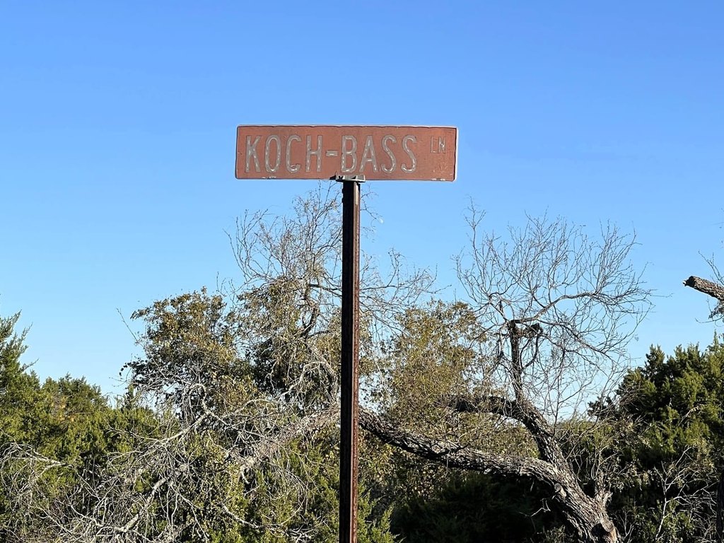
Highway 281/koch Bass Lane, Blanco, TX 78606
Commercial Sale, Blanco, TX
Property SizeContact for details
Lot Size72.96 Acres
Days on Market342
Property Features for Highway 281/koch Bass Lane
General Information
Property type
Commercial Sale
Property subtype
Other
High school district
000000
Standard status
Active
Lot size
72.96 Acres
Listing Agency:
America's Land Partners - Texas, Odessa
Listed By:
Wayne Dunson
Added: Nov 10, 2025
Changed: Oct 15
Last Checked: Oct 18 at 3:06PM
MLS# 11606960
Copyright © 2026 My State MLS. All rights reserved. All information provided by the listing agent/broker is deemed reliable but is not guaranteed and should be independently verified.

Ask AI about this property
Review the available facts, identify missing information and prepare questions for the agent.
Investment Insights
Based on property information with market context.
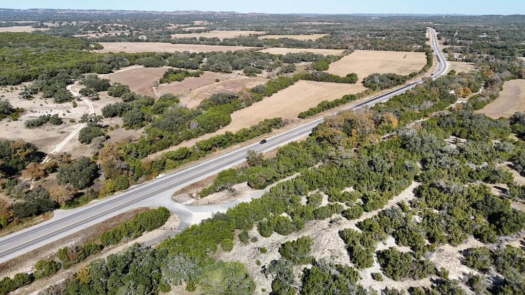
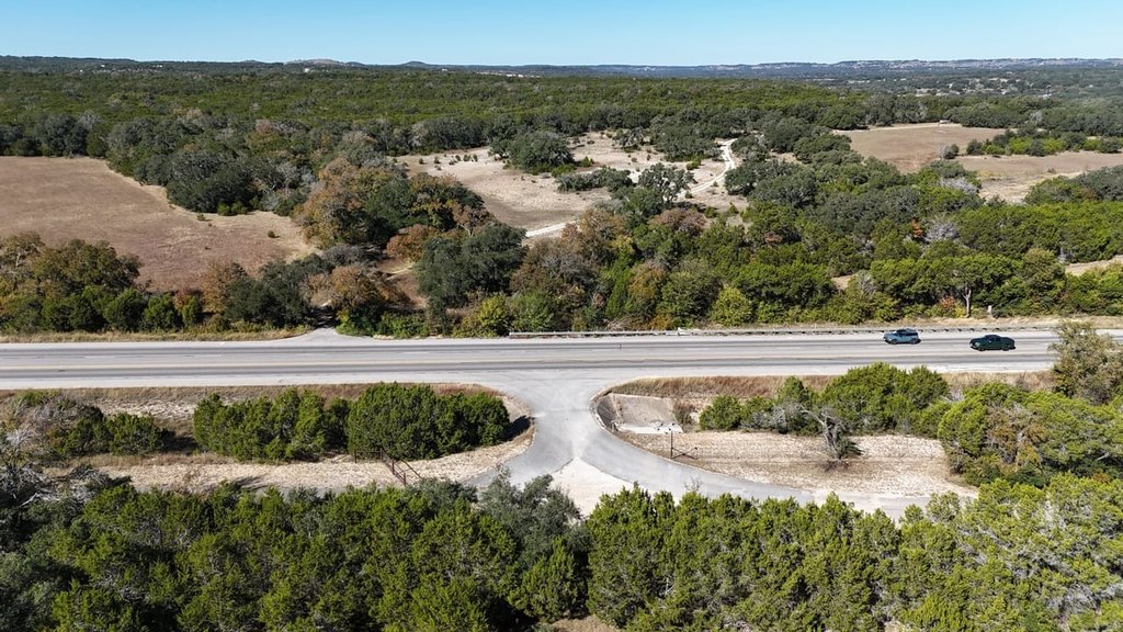
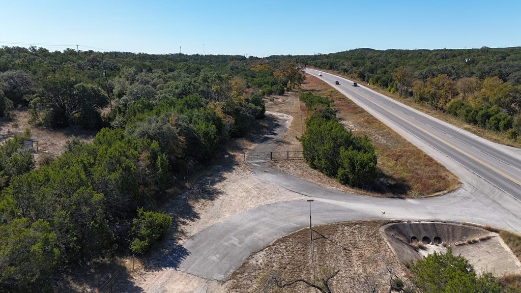
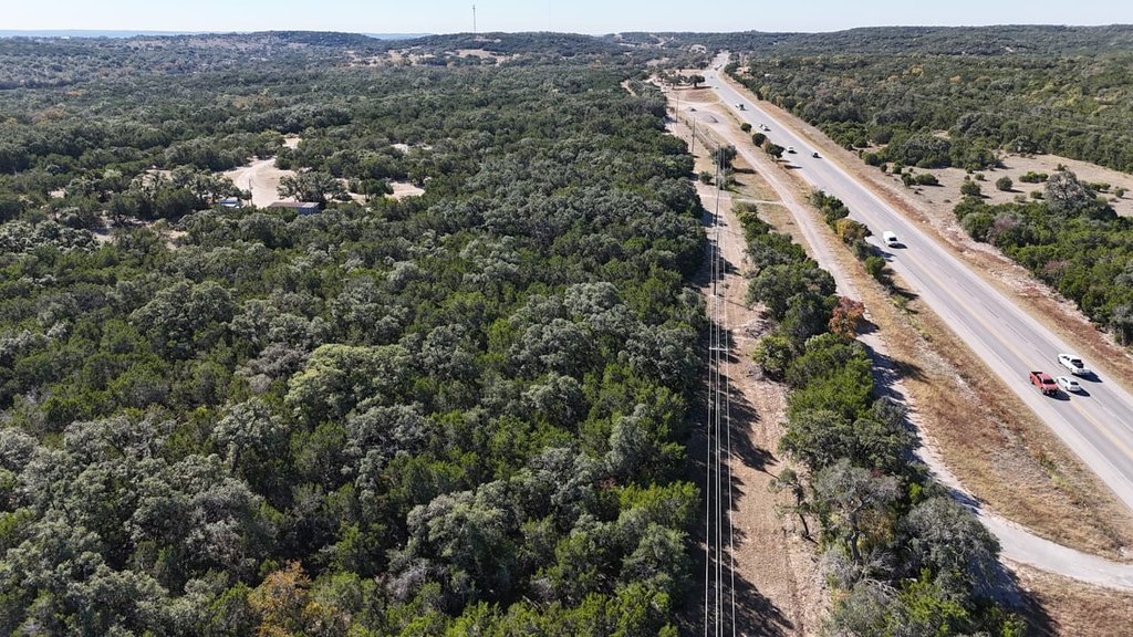
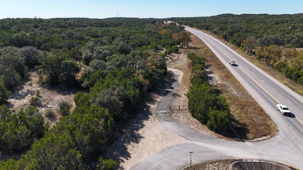
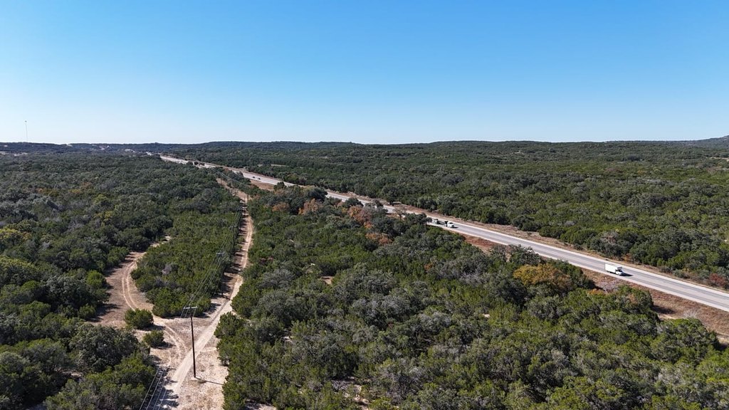
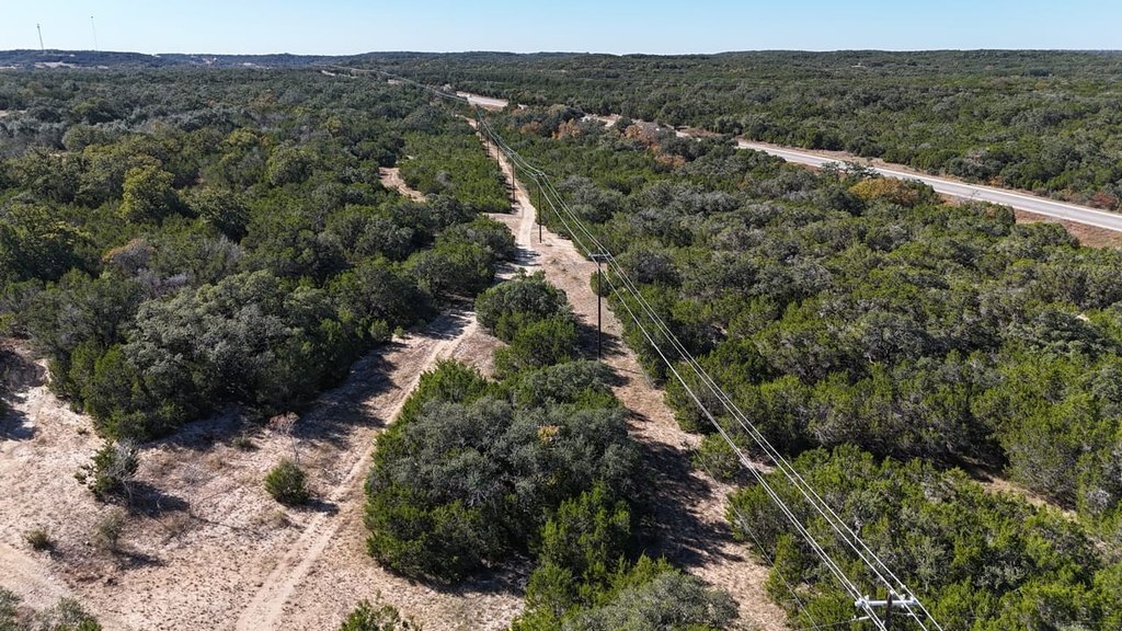
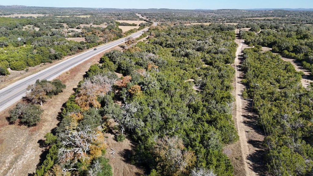
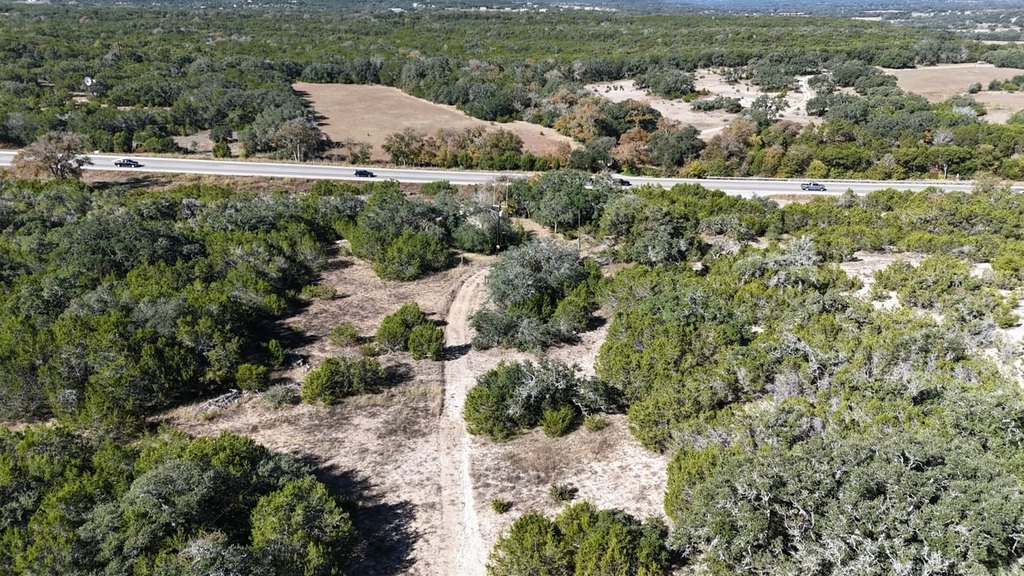
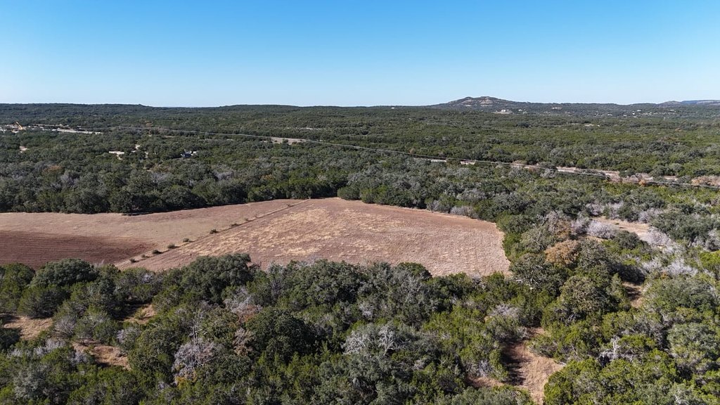
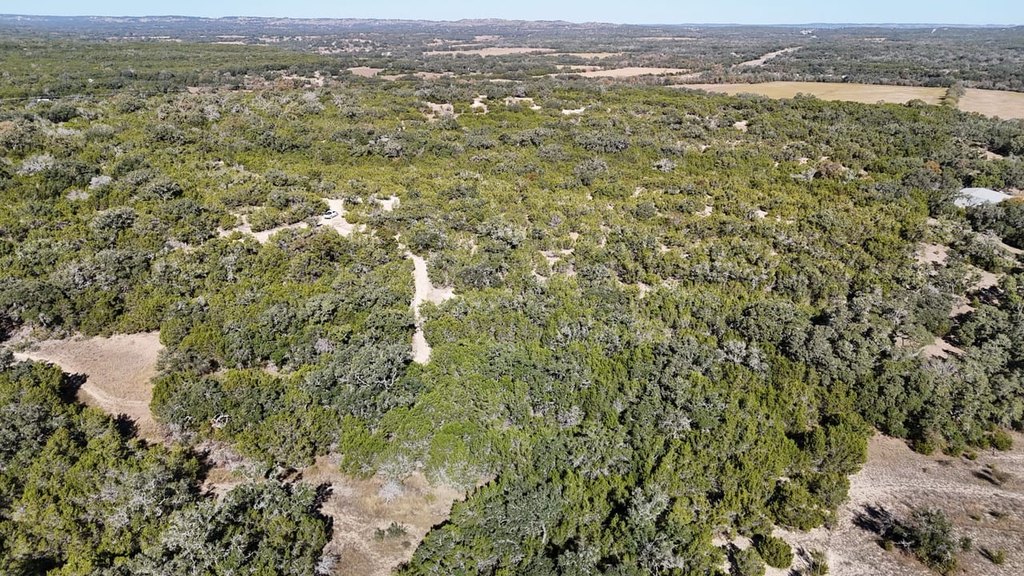
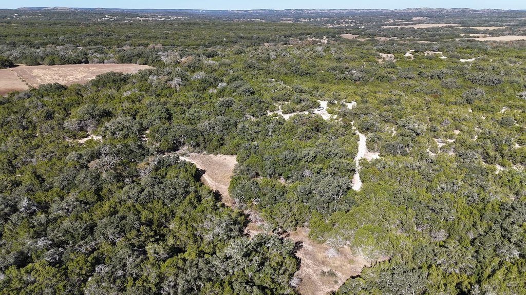
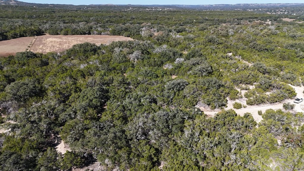
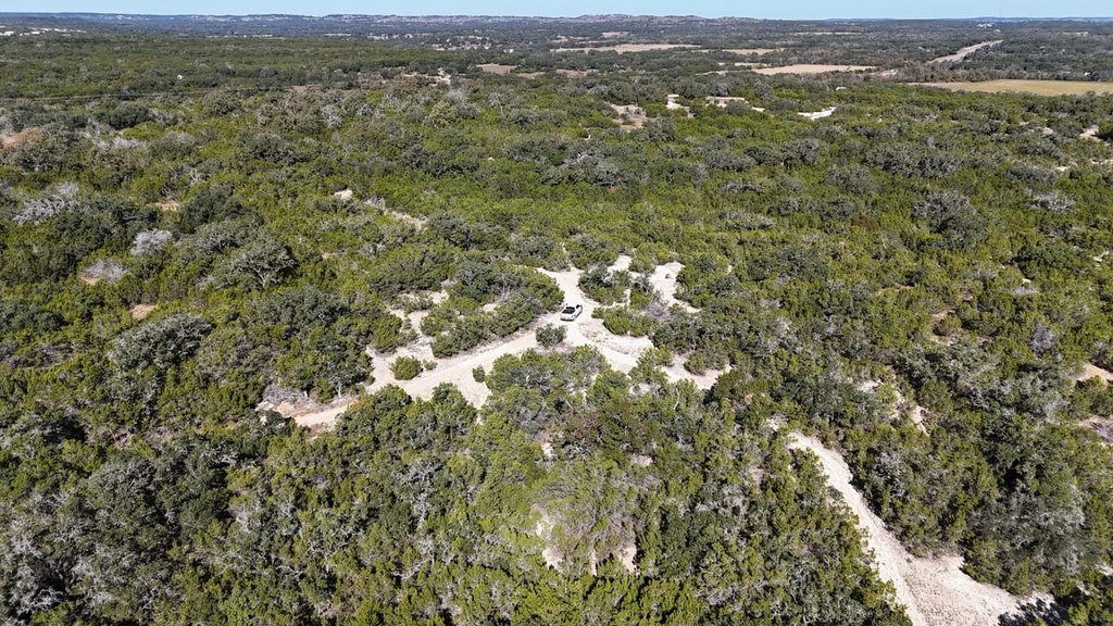
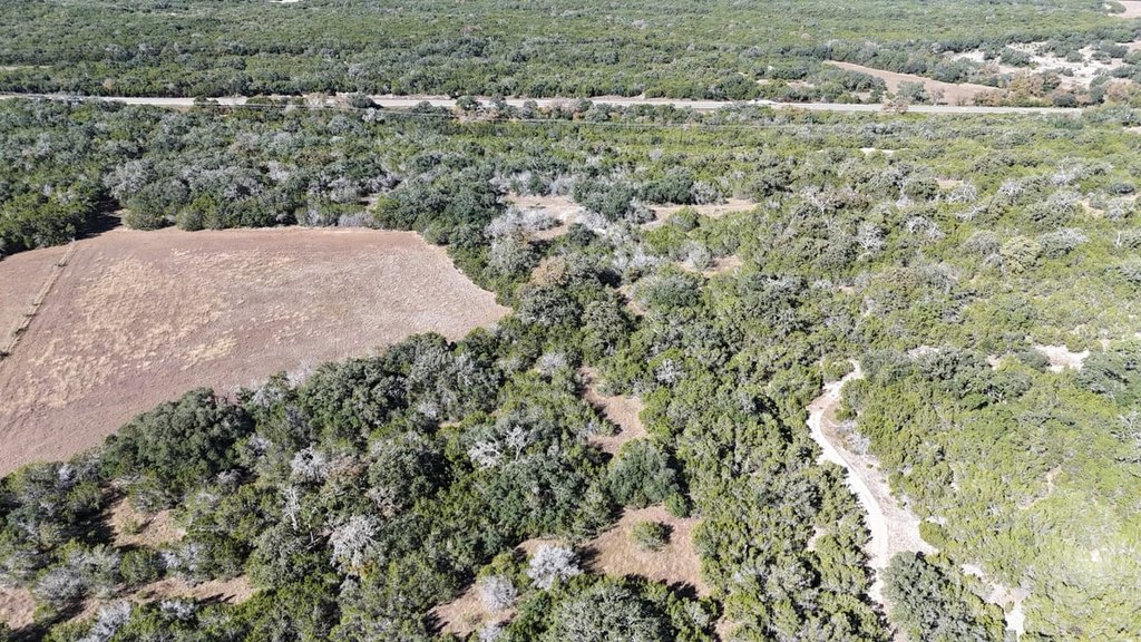
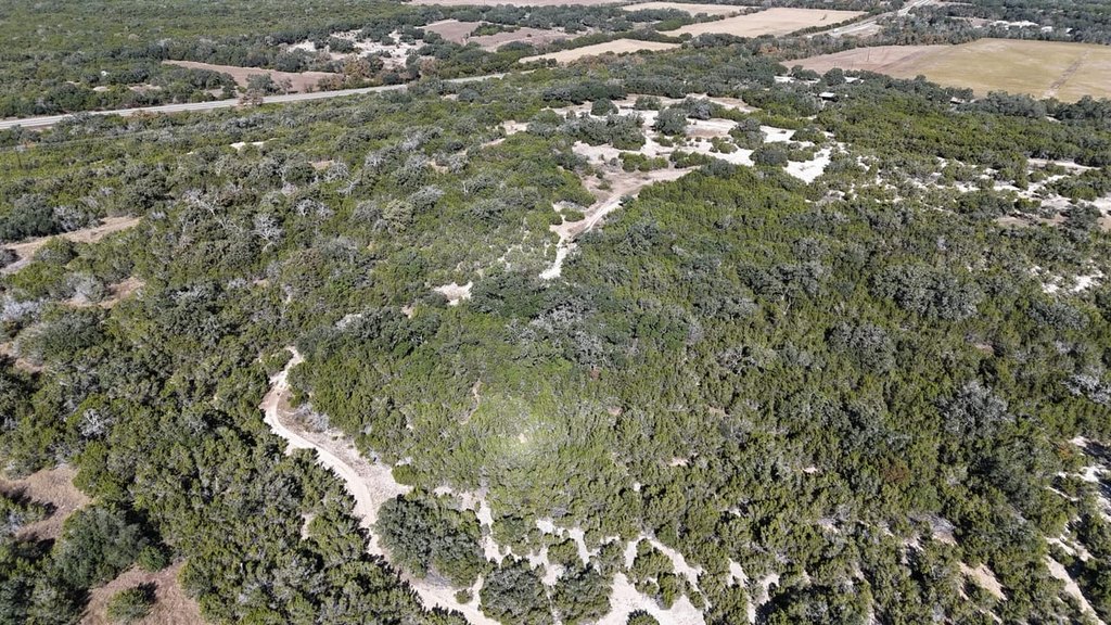
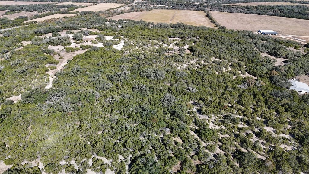
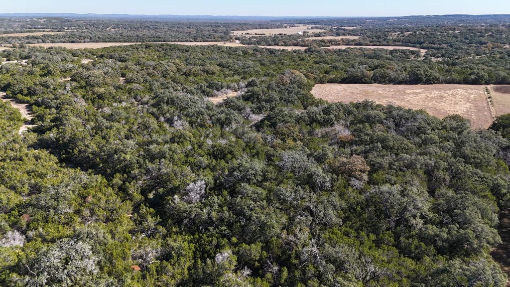
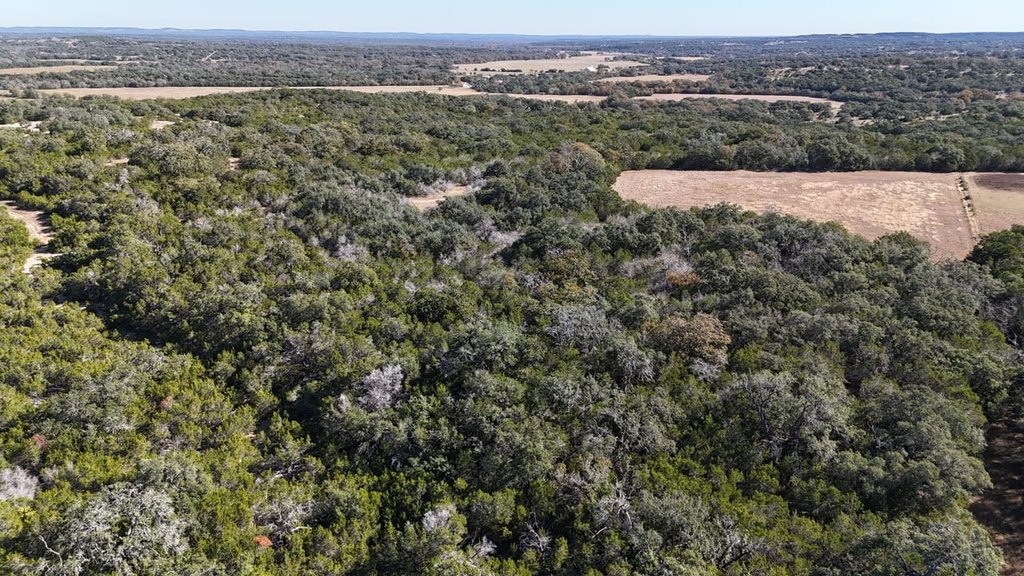
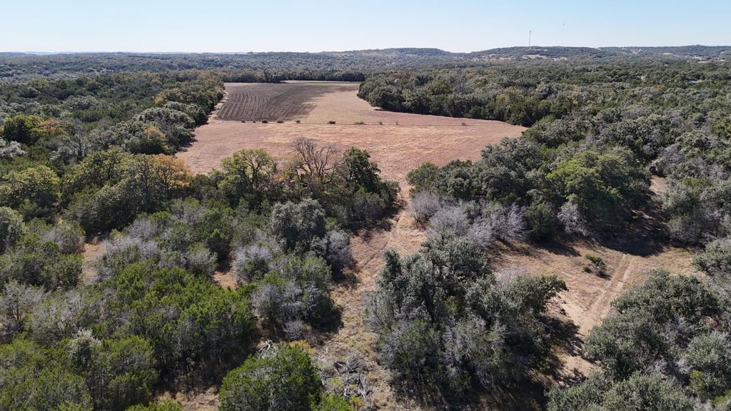
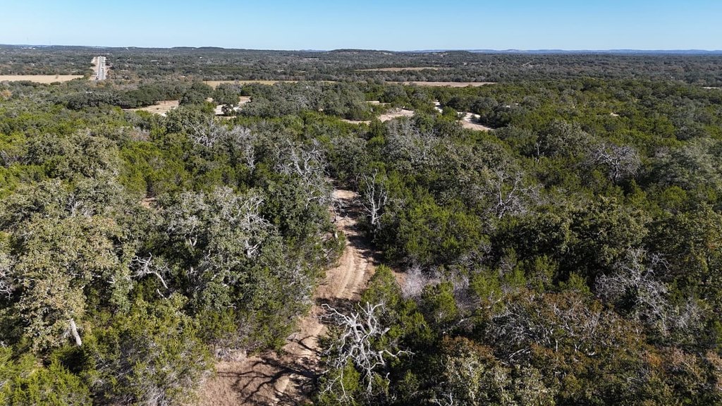
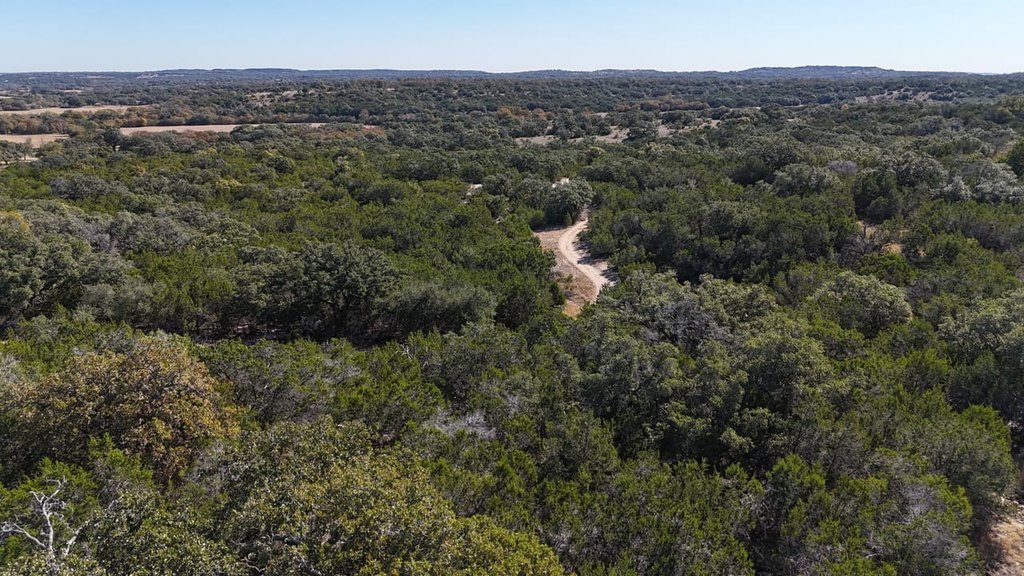
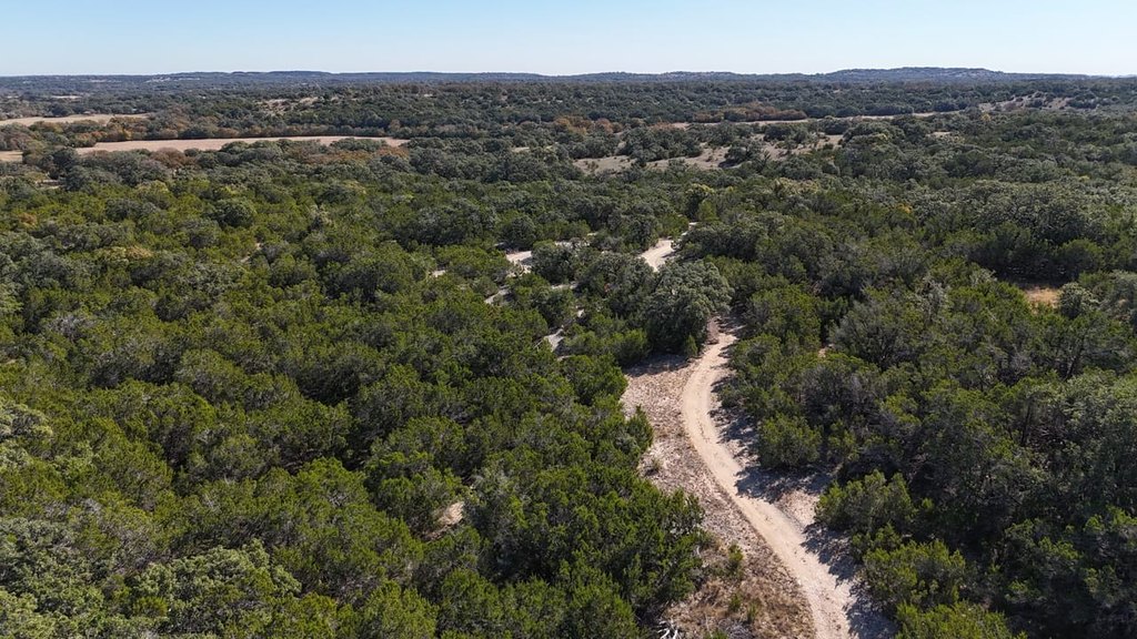
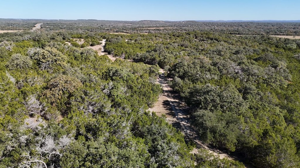
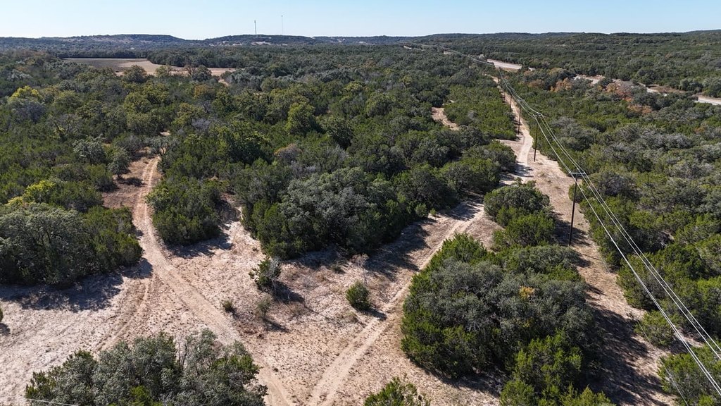
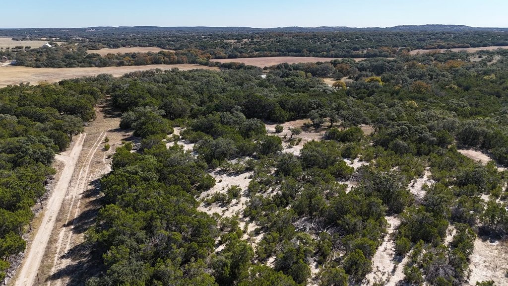
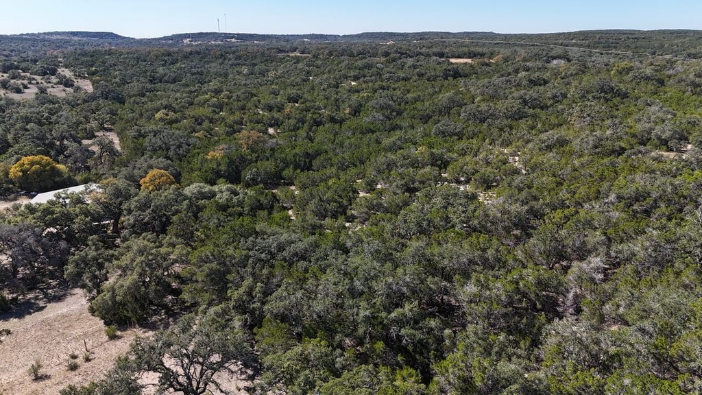
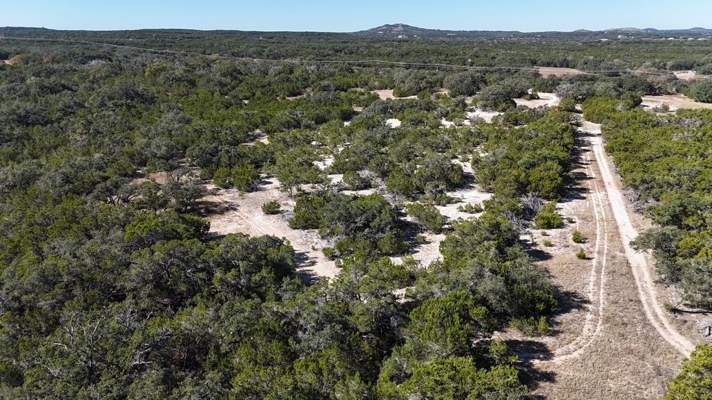
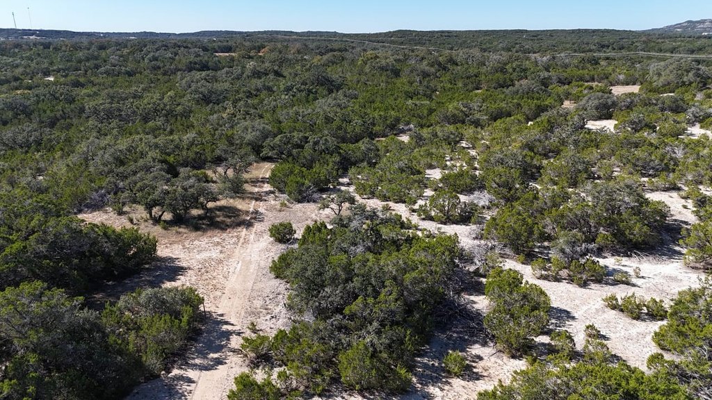
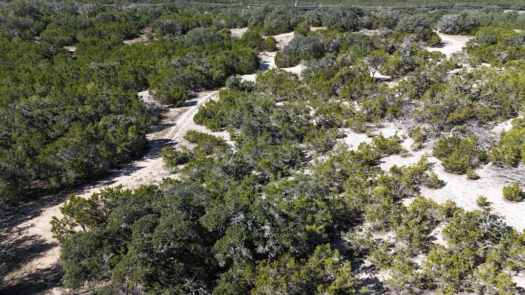
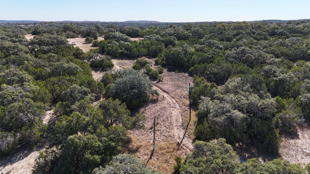
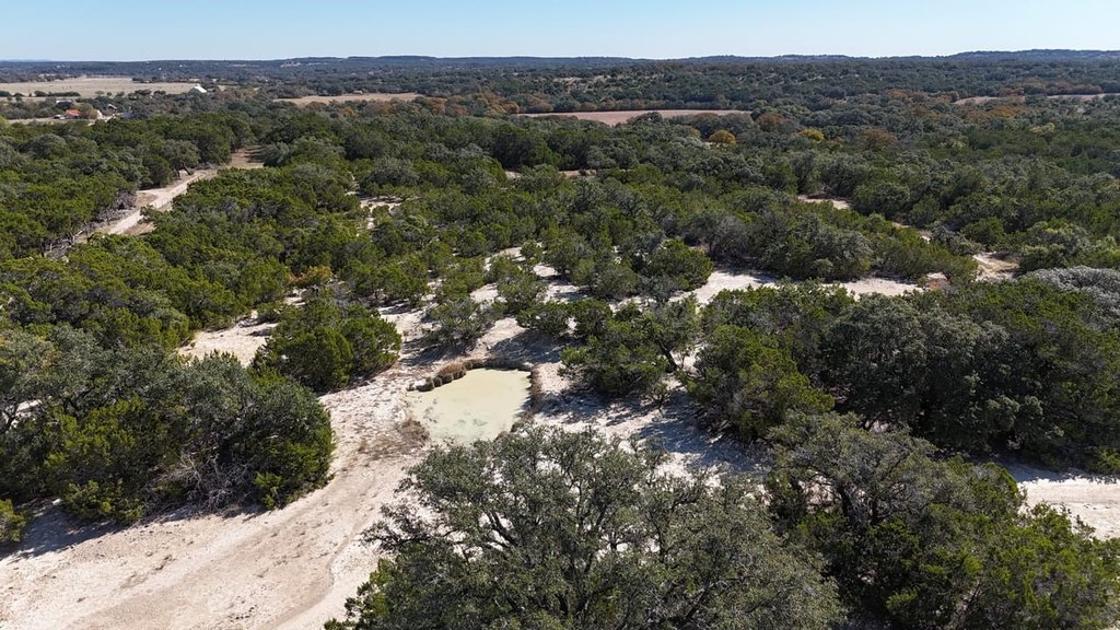
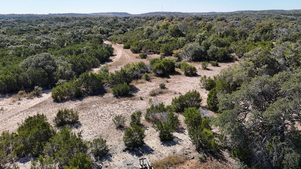
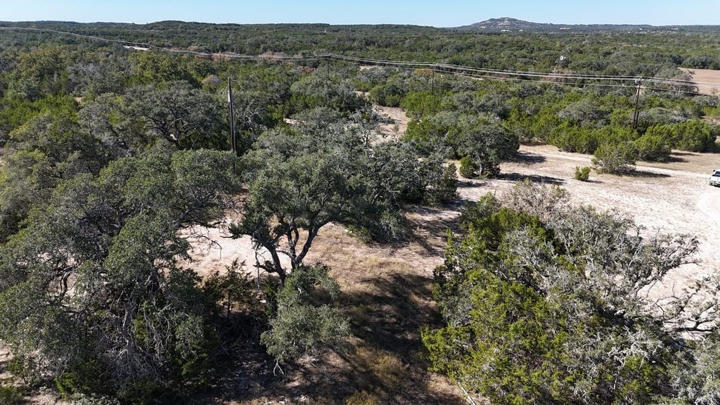
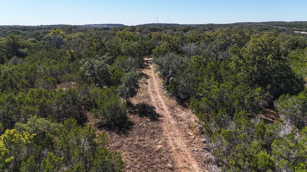
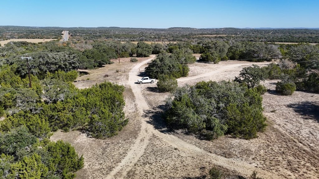
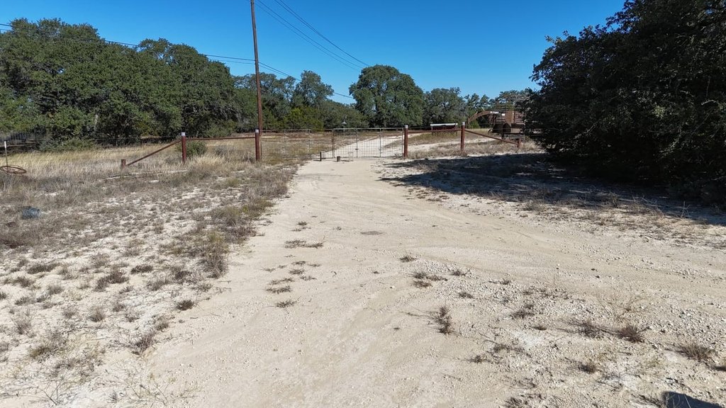
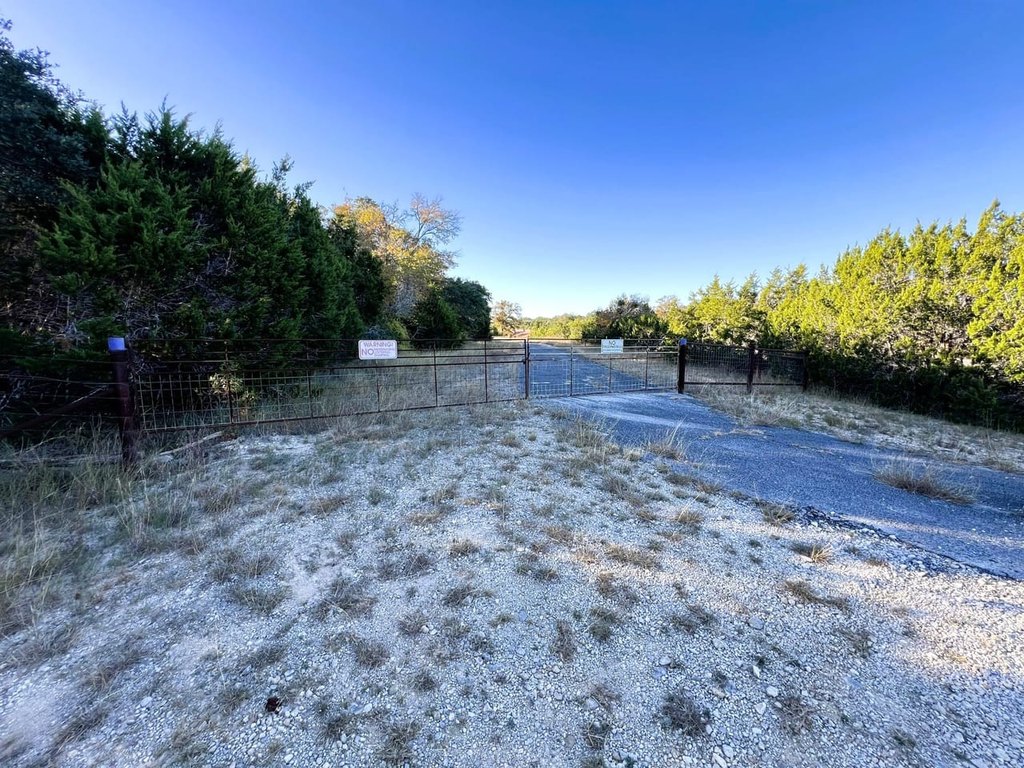
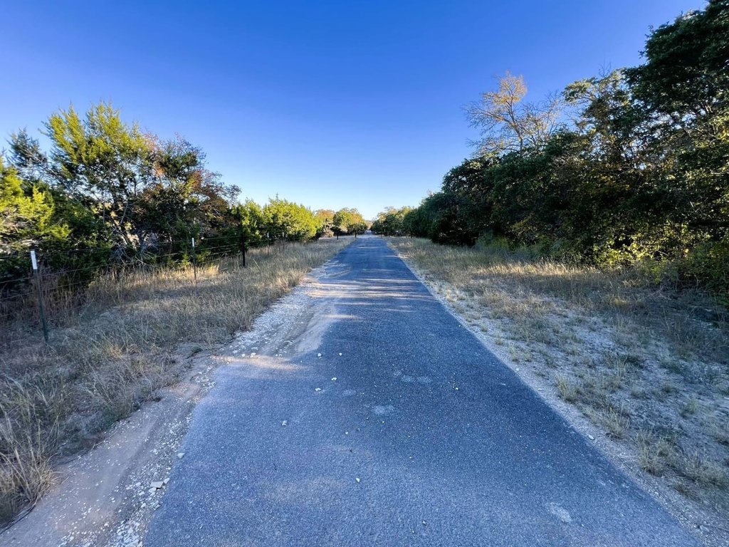
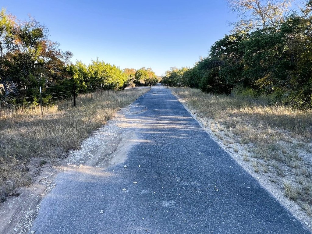
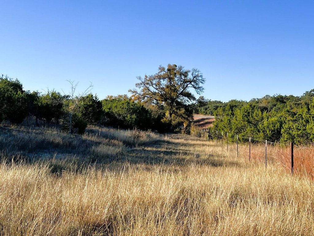
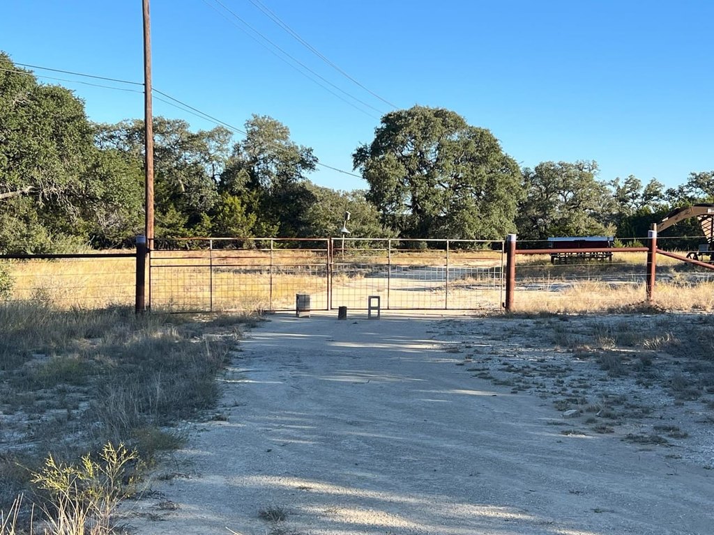
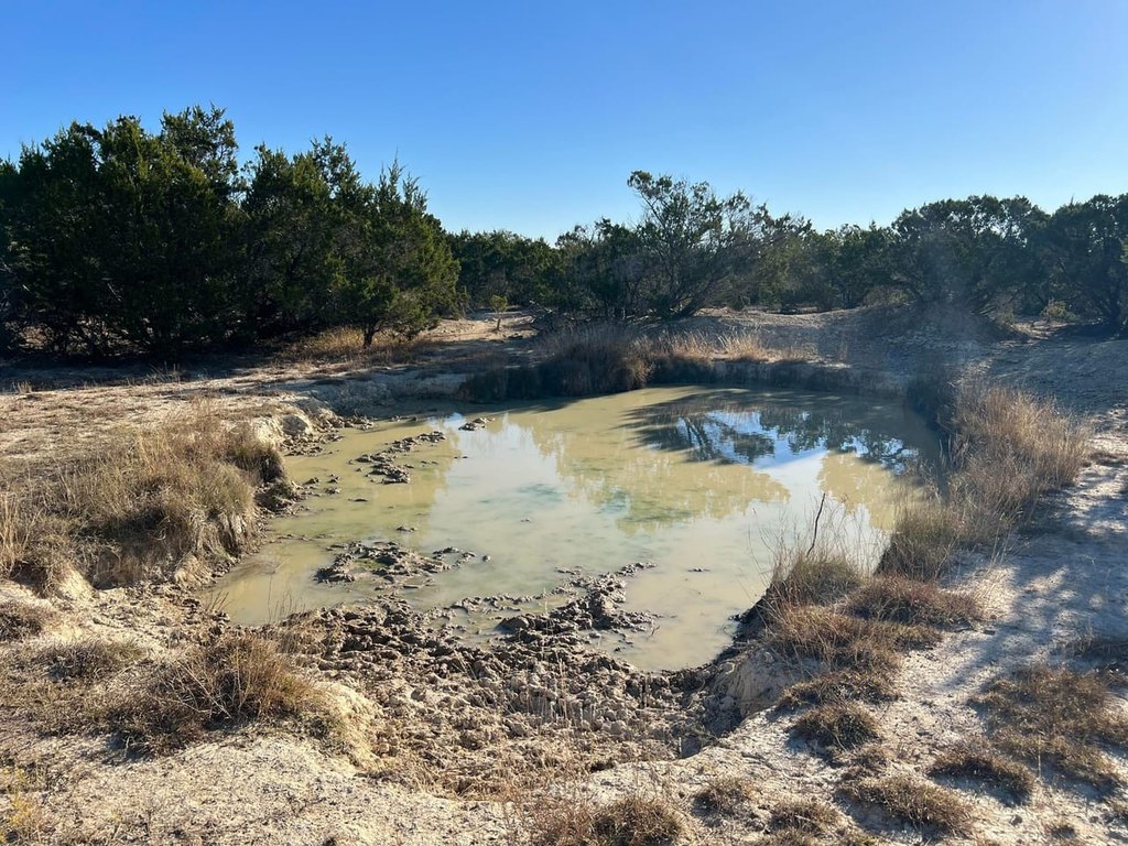
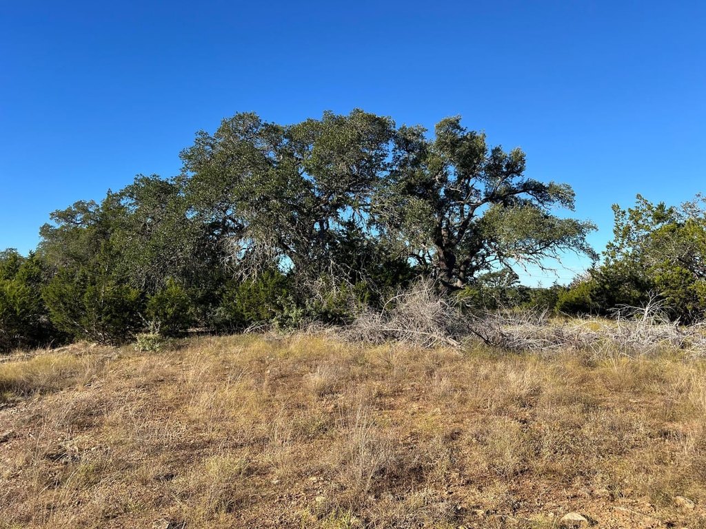
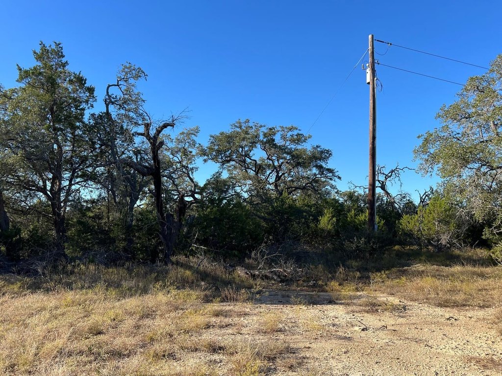
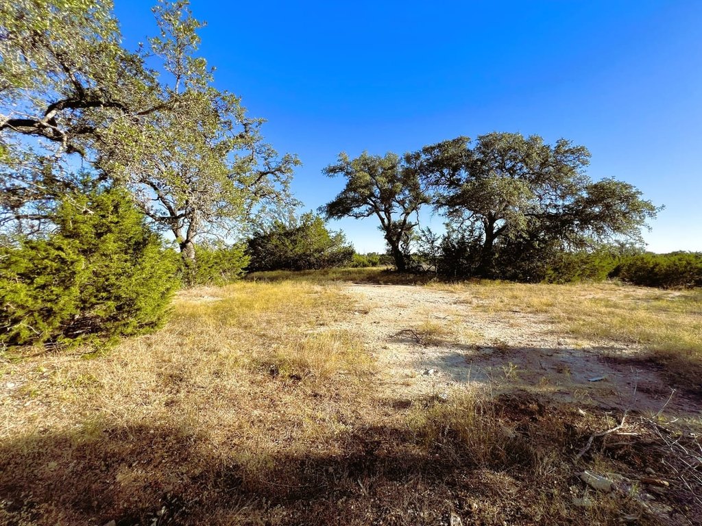
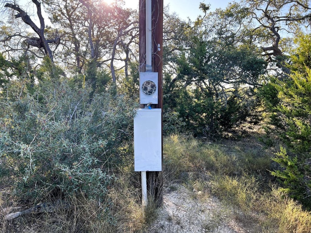
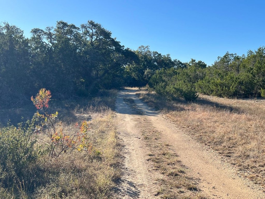
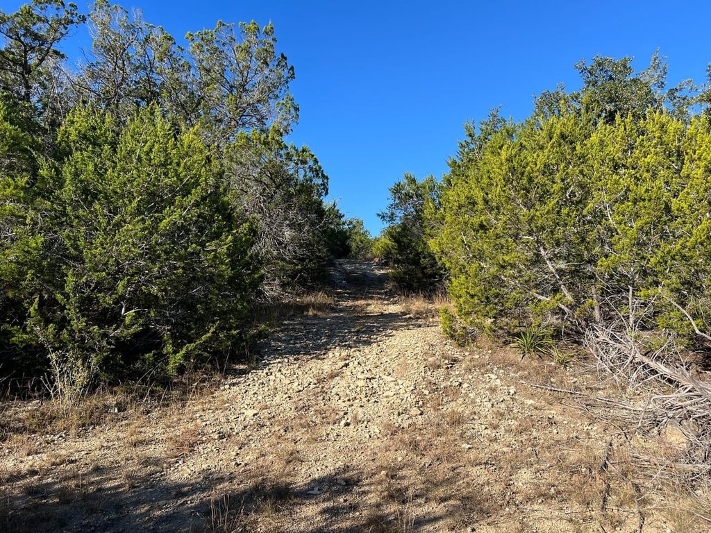
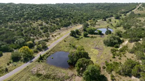
This 72.96-acre ranch combines rolling Hill Country terrain with approximately 1800 ft of US Highway 281 frontage and paved, gated access from Koch Bass Lane. Perimeter fencing, a surface tank, mature oaks, thick brush, browse, and populations of deer and hogs support its established recreational character. Existing improvements include a water well, two septic systems, and dual electric meters associated with former homesites.
US 281 recorded more than 16,000 vehicles per day in Blanco County in 2024, with volumes expected to reach 35,000 vehicles per day by 2045. TxDOT is preparing preliminary plans for 19 miles of roadway improvements between US 290 and FM 306. Known easements include Guadalupe Valley Telephone Cooperative, the City of Blanco Water Line Easement, and Pedernales Electric Cooperative. The property is identified for consideration as commercial frontage, ranchette development, or a legacy ranch, with access to Blanco, Canyon Lake, Fredericksburg, Boerne, and San Antonio.
US 281 recorded more than 16,000 vehicles per day in Blanco County in 2024, with volumes expected to reach 35,000 vehicles per day by 2045. TxDOT is preparing preliminary plans for 19 miles of roadway improvements between US 290 and FM 306. Known easements include Guadalupe Valley Telephone Cooperative, the City of Blanco Water Line Easement, and Pedernales Electric Cooperative. The property is identified for consideration as commercial frontage, ranchette development, or a legacy ranch, with access to Blanco, Canyon Lake, Fredericksburg, Boerne, and San Antonio.
Key Highlights
- 72.96 deeded acres in the Texas Hill Country
- Approximately 1800 ft of US Highway 281 frontage
- Paved, gated entry from Koch Bass Lane with perimeter fencing
Property Analytics
Unlock full access to Insights
Subscribe to Realmo Intelligence
Open Analytics
Current Use
Lease Details
16,000 VPD
Traffic count
Yes
Highway access
Yes
Paved road access
Yes
Utilities to site
Location Intelligence
Trade Area within ½ mile
1
Businesses Nearby
Explore this area
Business Placement
Demographics for 78606, TX
5,875
Population
3,408
Households
1.7
Avg Household Size
52
Median Age
39%
College-Educated
91%
High-School Grad
242.2 sq mi
ZIP Area
24
Density / Sq Mi
$89,980
Median Household Income
$45,071
Median Earnings
$865
Median Rent
$361,100
Median Home Value
Check the figures for this property
Cap Rate, Value Estimation, Potential NOI and more
View Realmo Analytics




Frequently Asked Questions
What type of property is this?
Ranch - Rolling acreage offers highway access, established utilities, hunting habitat, and multiple potential land-use directions.
Where is this ranch located?
The property is located at Highway 281/koch Bass Lane Blanco, TX.
What is the asking price?
The asking price for this property is $2,000,000.
What are key features of this property?
This property features: 72.96 deeded acres in the Texas Hill Country; Approximately 1800 ft of US Highway 281 frontage; Paved, gated entry from Koch Bass Lane with perimeter fencing