Farm and Timber Land with


For Sale
$1,350,000
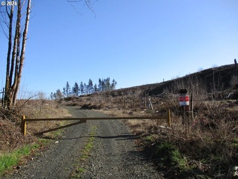
2678 DRIFT CREEK Rd NE, Silverton, OR 97381
Land, Silverton, OR
Property SizeContact for details
Lot Size52.59 Acres
Days on Market386
Property Features for 2678 DRIFT CREEK Rd NE
General Information
Property type
Land
Property subtype
Other
Zoning
FT
View
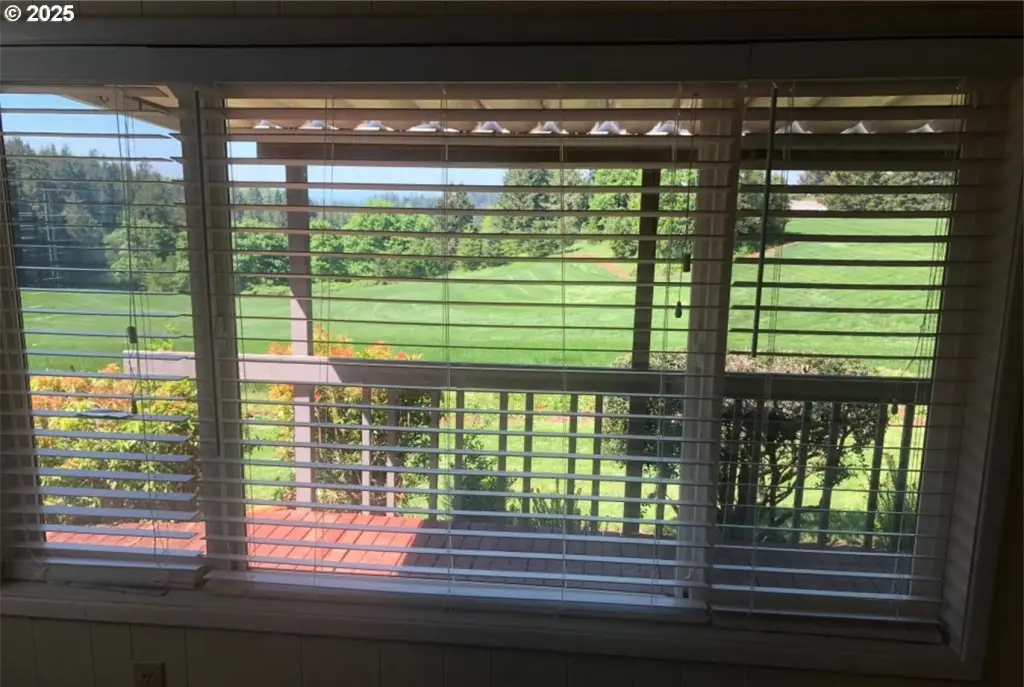
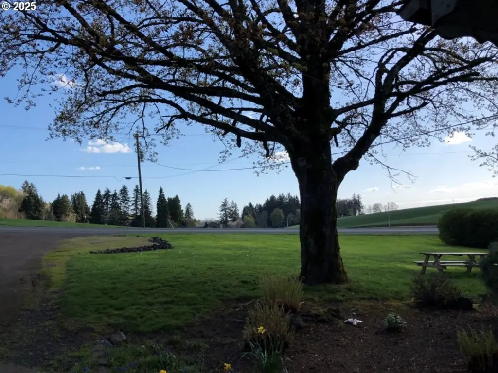
Valley, Territorial
Elementary school
Victor Point
Middle school
Victor Point
High school
Silverton
Directions
Victor Point Rd SE & Drift Creek Rd; 3.8 mi from downtown Silverton
Subdivision
_170
Standard status
Active
APN
521438
Lot size
52.59 Acres
Taxes and HOA fees
Tax Description
ACRES 36.74
Tax Annual Amount
2591
Legal Description
ACRES 36.74
Utilities
Water front features
Creek
Water front
1
Listing Agency:
RealtyNET, LLC
(503) 300-6330
Listed By:
Greg Messick · License #200202047
(503) 300-6330
Added: Jul 31, 2025
Changed: Aug 19
Last Checked: Aug 20 at 2:06AM
MLS# 613418150
Copyright © 2026 Regional Multiple Listing Services. All rights reserved. All information provided by the listing agent/broker is deemed reliable but is not guaranteed and should be independently verified.
Investment Insights
Based on property information with market context.
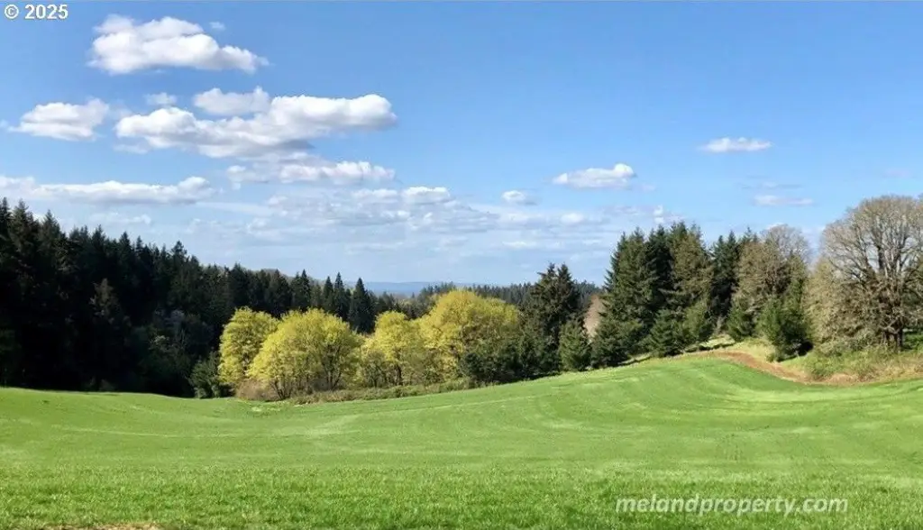
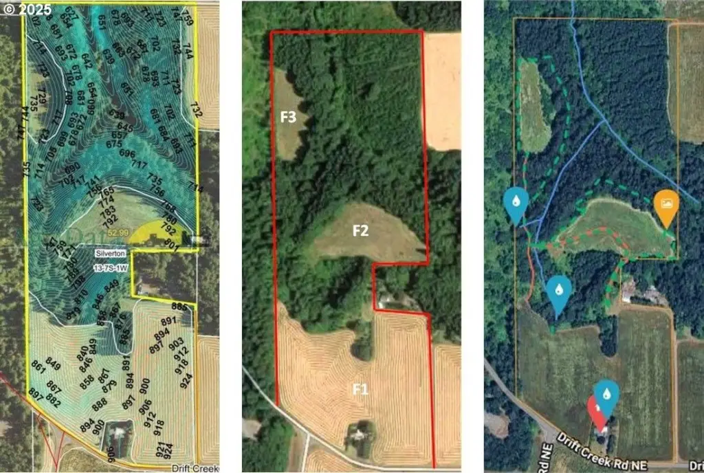
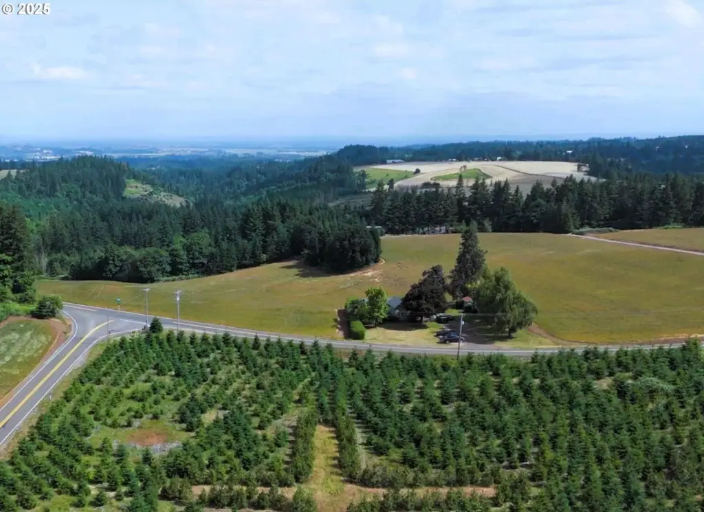
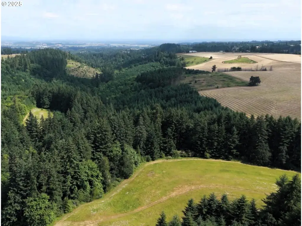
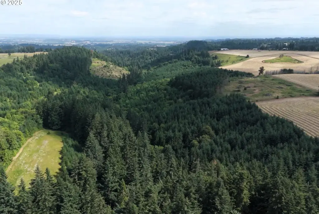
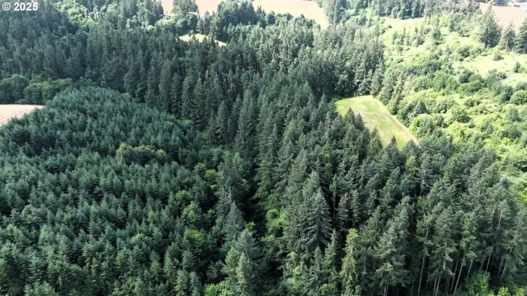
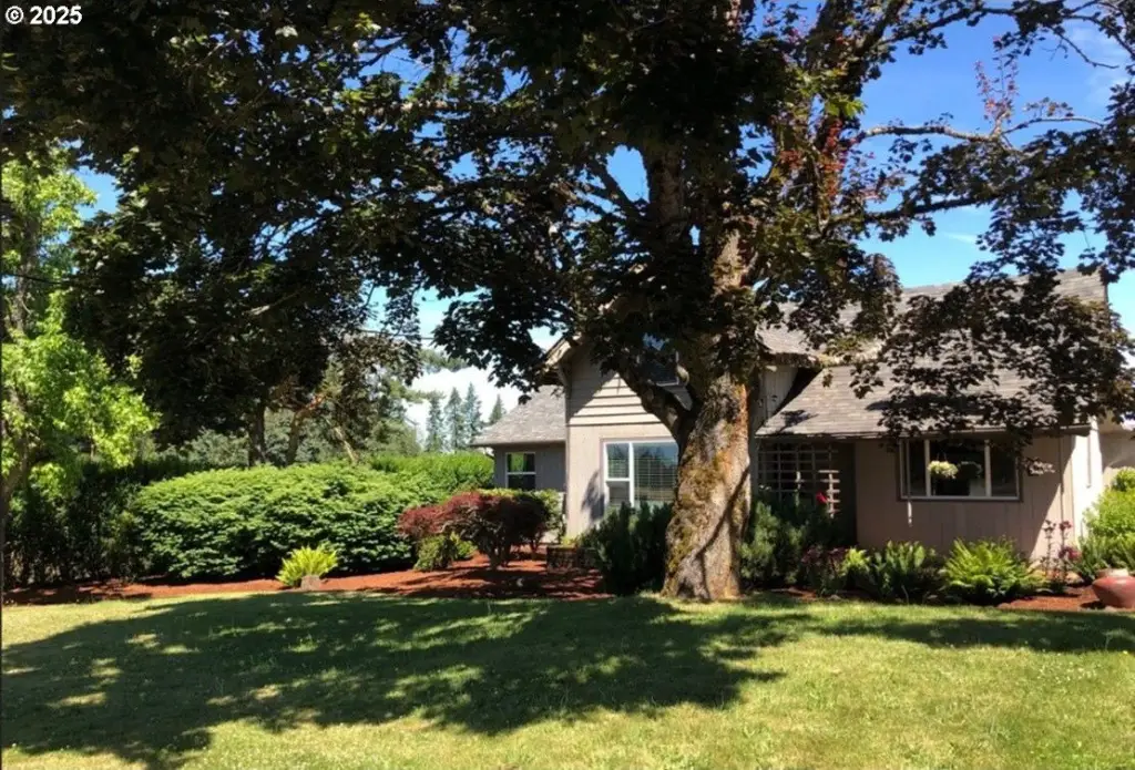
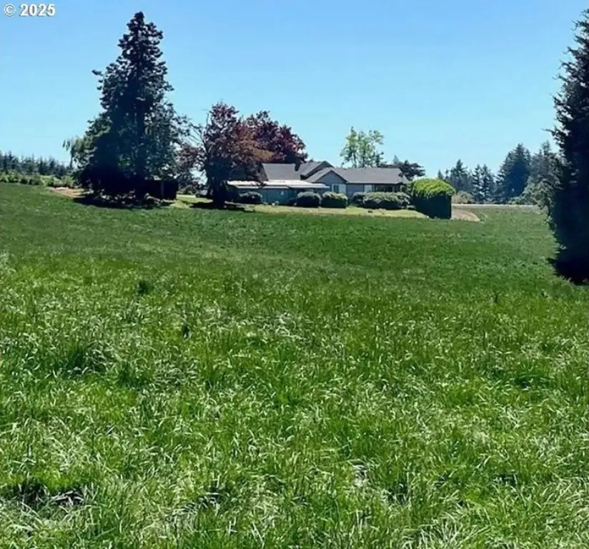
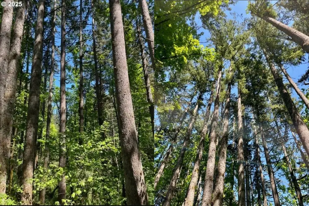
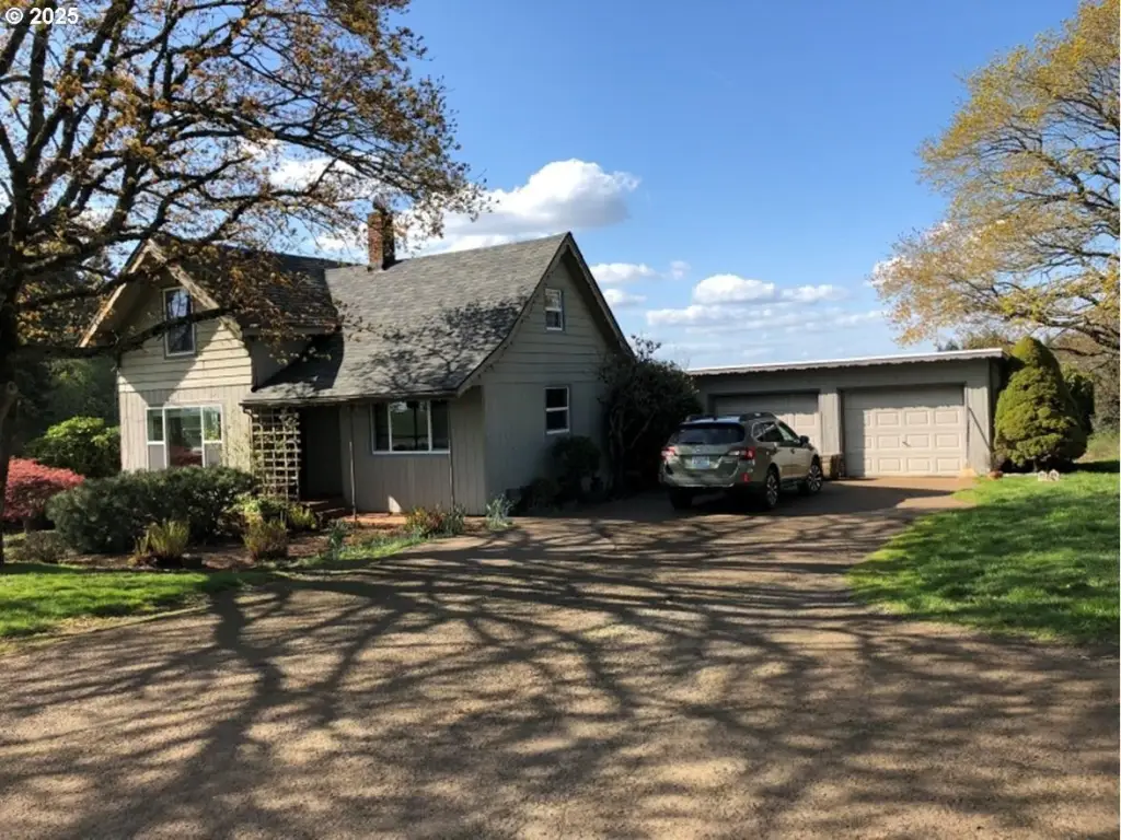
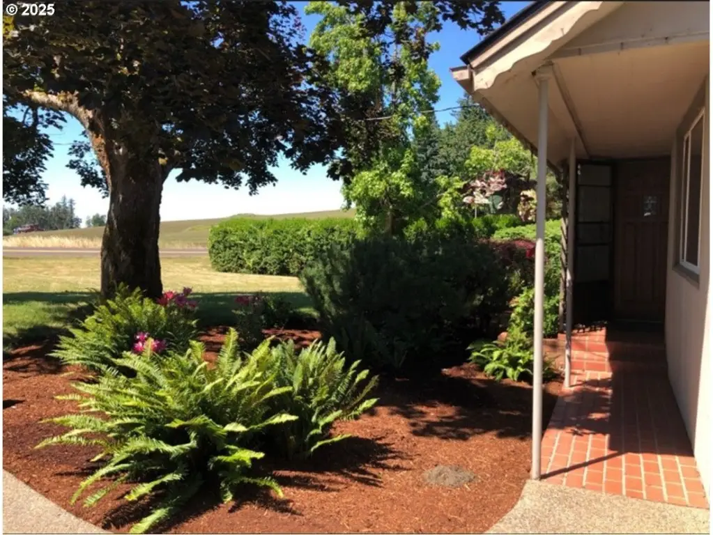
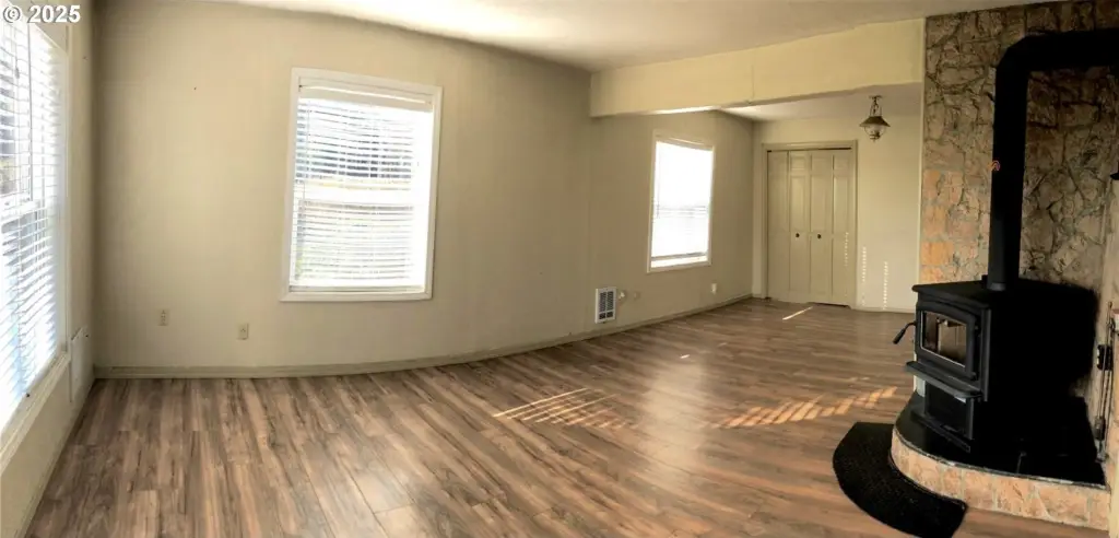
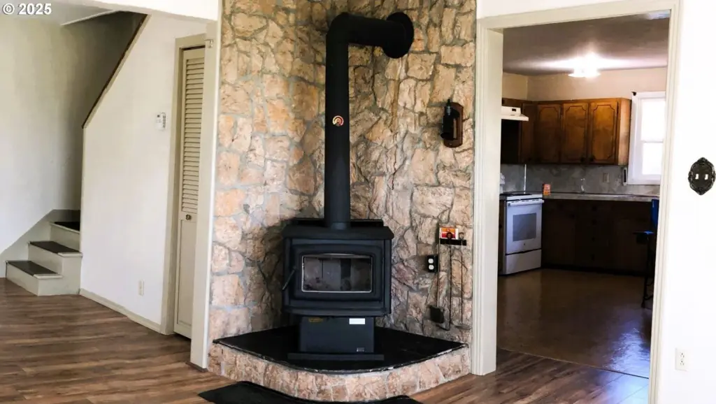
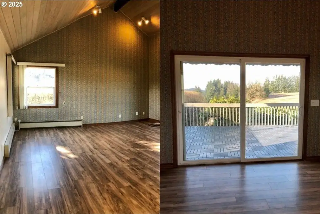
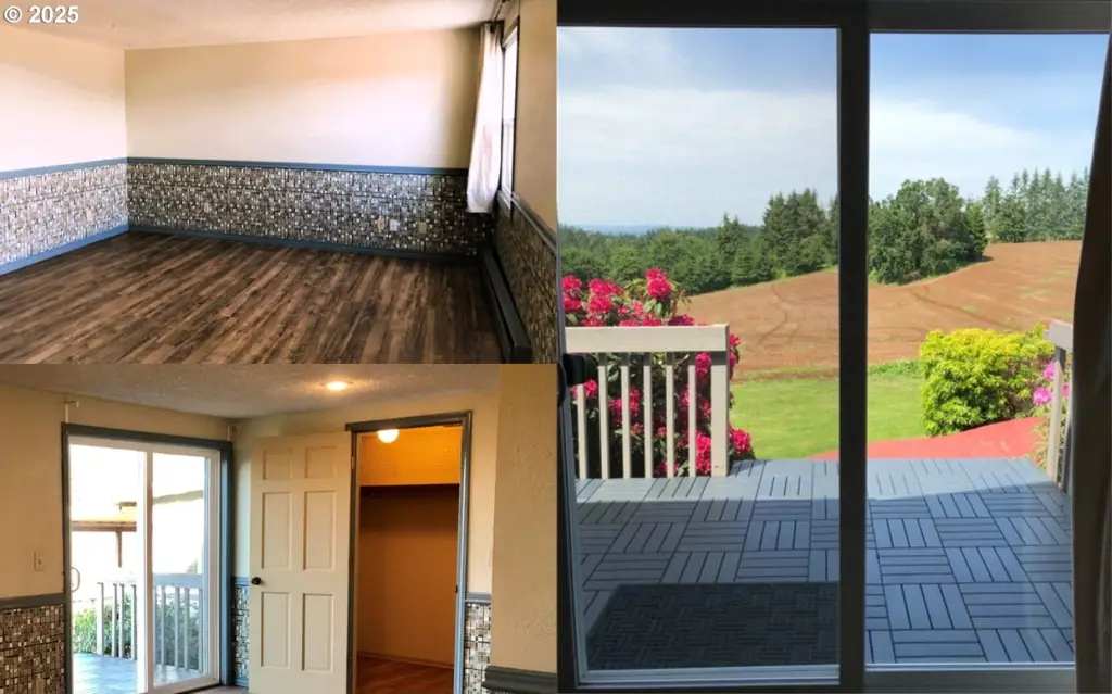
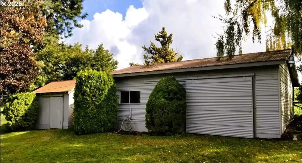
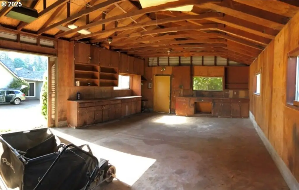
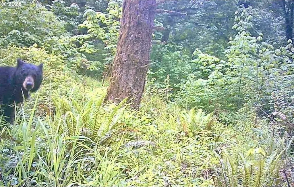
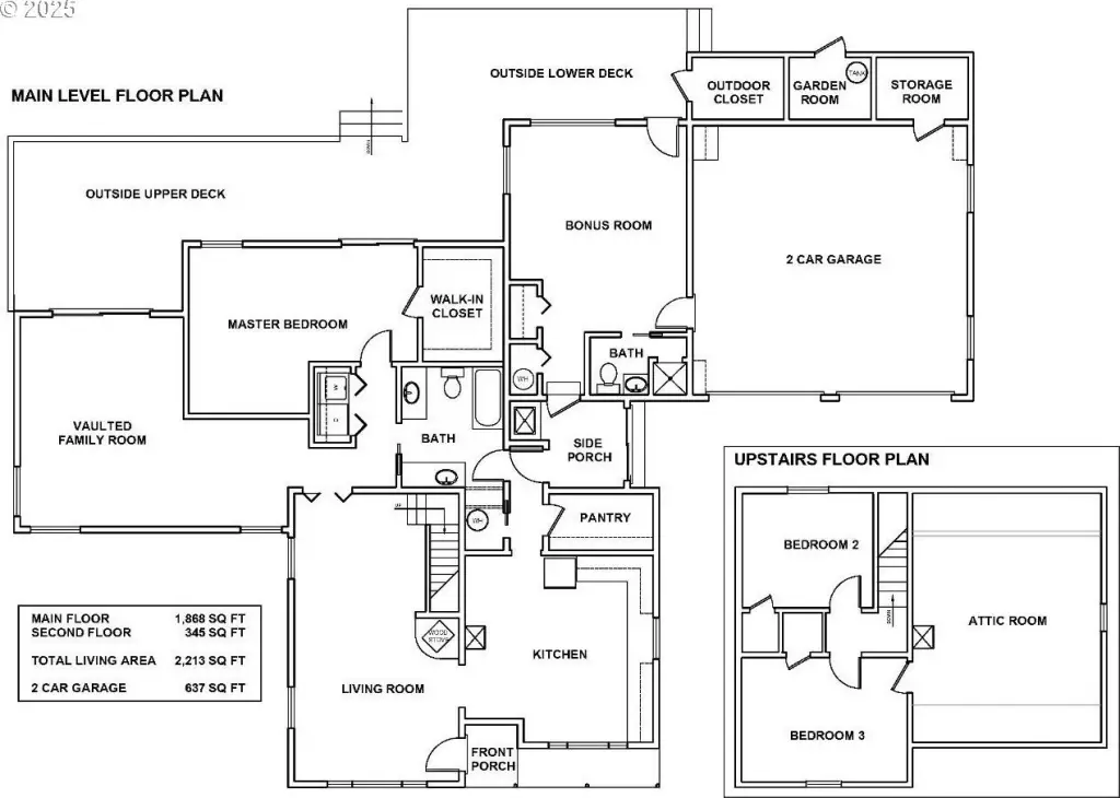
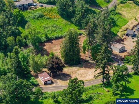
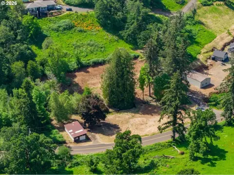
This Silverton farm and timber land offering totals 52.59 acres and includes a classic 4-bed, 2-bath farmhouse that is currently rented for income. The property’s improvements and natural resources support multiple uses, including farming and forestry. Timber resources include approximately 637,000 board feet of 72-year-old Douglas fir, along with a younger 7.7-acre stand planted in 2000.
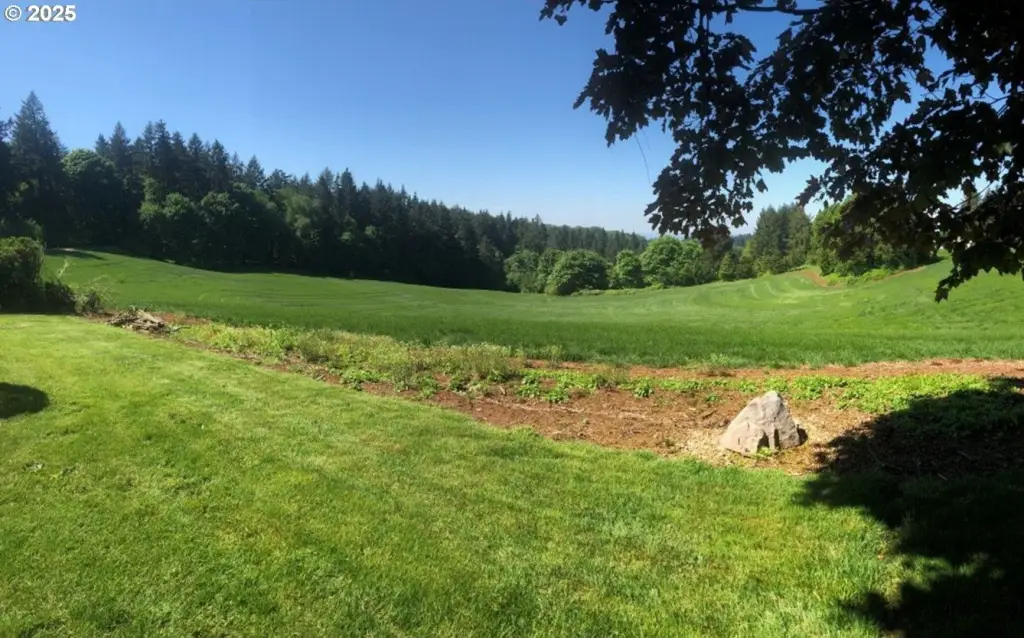
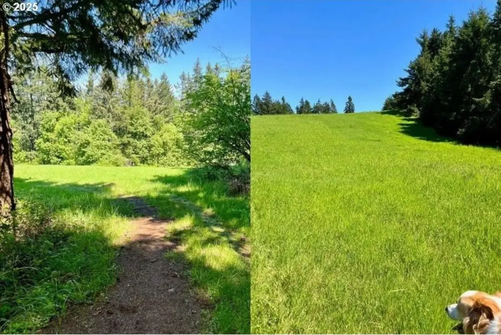
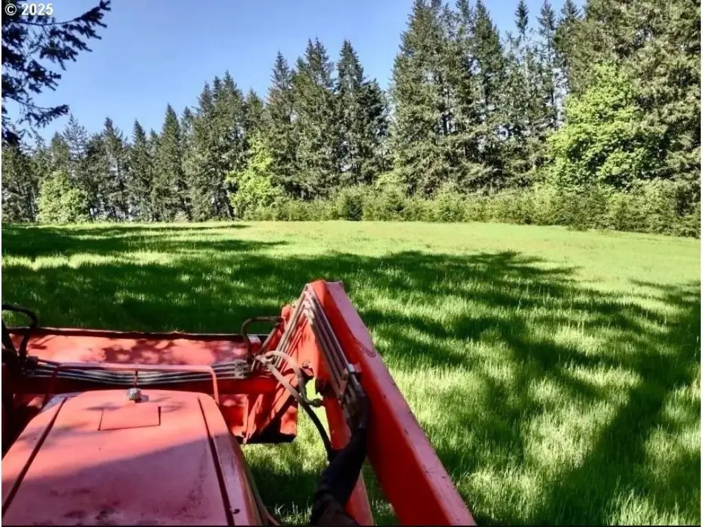
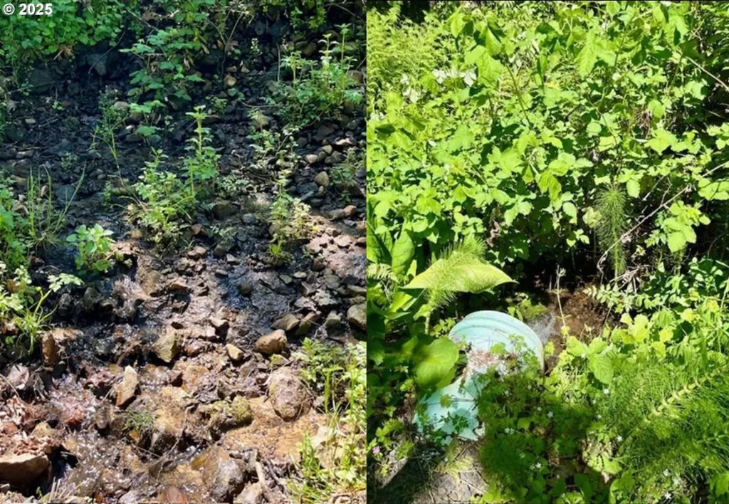
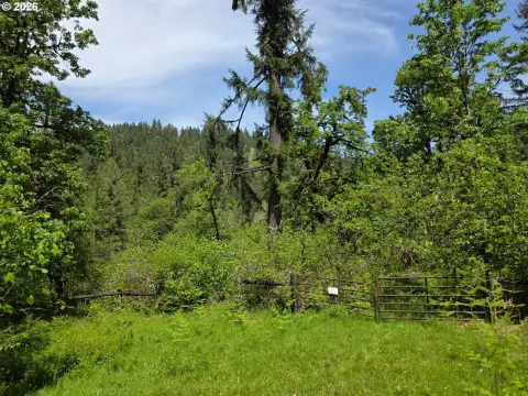
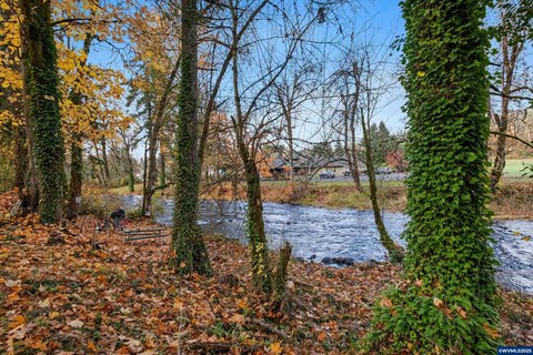
A 14.8-acre field is leased for crops, and two additional fields total 7.5 acres, providing options for pasture, habitat, or new plantings. Water is supported by year-round springs and a creek.
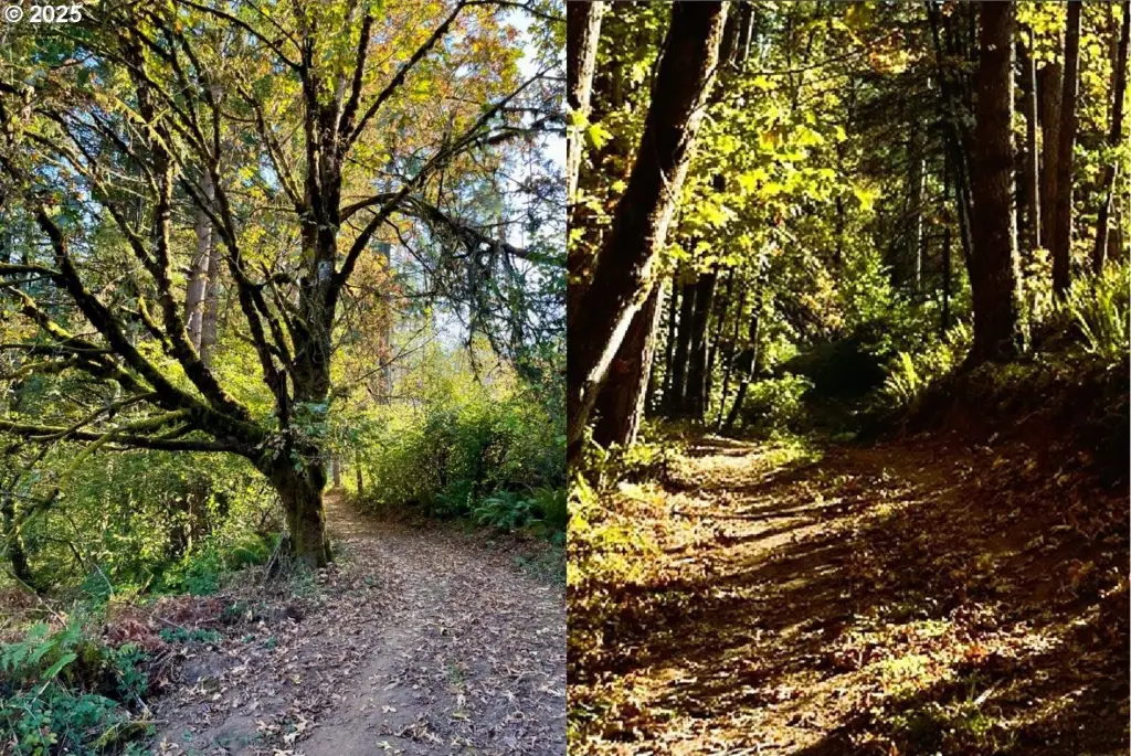
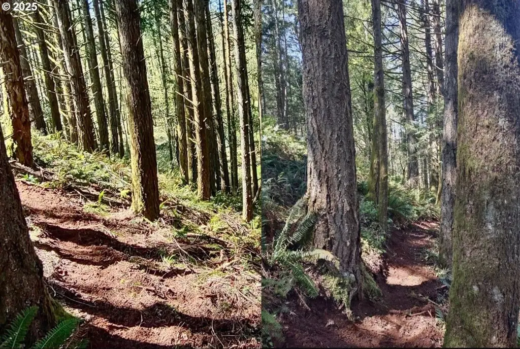
Zoning is FT (Farm/Timber), aligning with agriculture, forestry, vineyards, retreats, and agritourism uses described for the property. The land also features wooded trails for hiking and riding.
A 14.8-acre field is leased for crops, and two additional fields total 7.5 acres, providing options for pasture, habitat, or new plantings. Water is supported by year-round springs and a creek.
Zoning is FT (Farm/Timber), aligning with agriculture, forestry, vineyards, retreats, and agritourism uses described for the property. The land also features wooded trails for hiking and riding.
Key Highlights
- 52.59‑acre Farm/Timber (FT) property near Silverton with a creek water feature
- 4‑bed, 2‑bath farmhouse currently rented
- Approximately 637,000 board feet of 72‑year‑old Douglas fir timber
Property Analytics
Property Profile
Current Use
Lease Details
Turnkey business
Opportunity
Location Intelligence
Trade Area within ½ mile
5
Businesses Nearby
Explore this area
Business Placement
Demographics for 97381, OR
16,313
Population
5,882
Households
2.8
Avg Household Size
40
Median Age
31%
College-Educated
92%
High-School Grad
110.0 sq mi
ZIP Area
148
Density / Sq Mi
$84,077
Median Household Income
$42,337
Median Earnings
$1,491
Median Rent
$497,700
Median Home Value

Questions? Ask Rey
Realmo’s AI knows this listing — price, zoning, demand, history. Ask anything.





Frequently Asked Questions
What type of property is this?
Farm - Zoned Farm/Timber farmstead with creek frontage, productive fields, and year-round water sources.
Where is this farm located?
The property is located at 2678 DRIFT CREEK Rd NE Silverton, OR.
What is the asking price?
The asking price for this property is $1,350,000.
What are key features of this property?
This property features: 52.59‑acre Farm/Timber (FT) property near Silverton with a creek water feature; 4‑bed, 2‑bath farmhouse currently rented; Approximately 637,000 board feet of 72‑year‑old Douglas fir timber